
This route takes the ‘high road’ to the Góriz mountain refuge, heading along the top of the Ordesa canyon wall. It could be a day walk, picking a point to turn back to Torla, while enjoying the incredible views over the canyon. Or, a stay at Góriz would give possibilities for further terrific mountain walking to enjoy some of the most dramatic scenery in the Pyrenees.
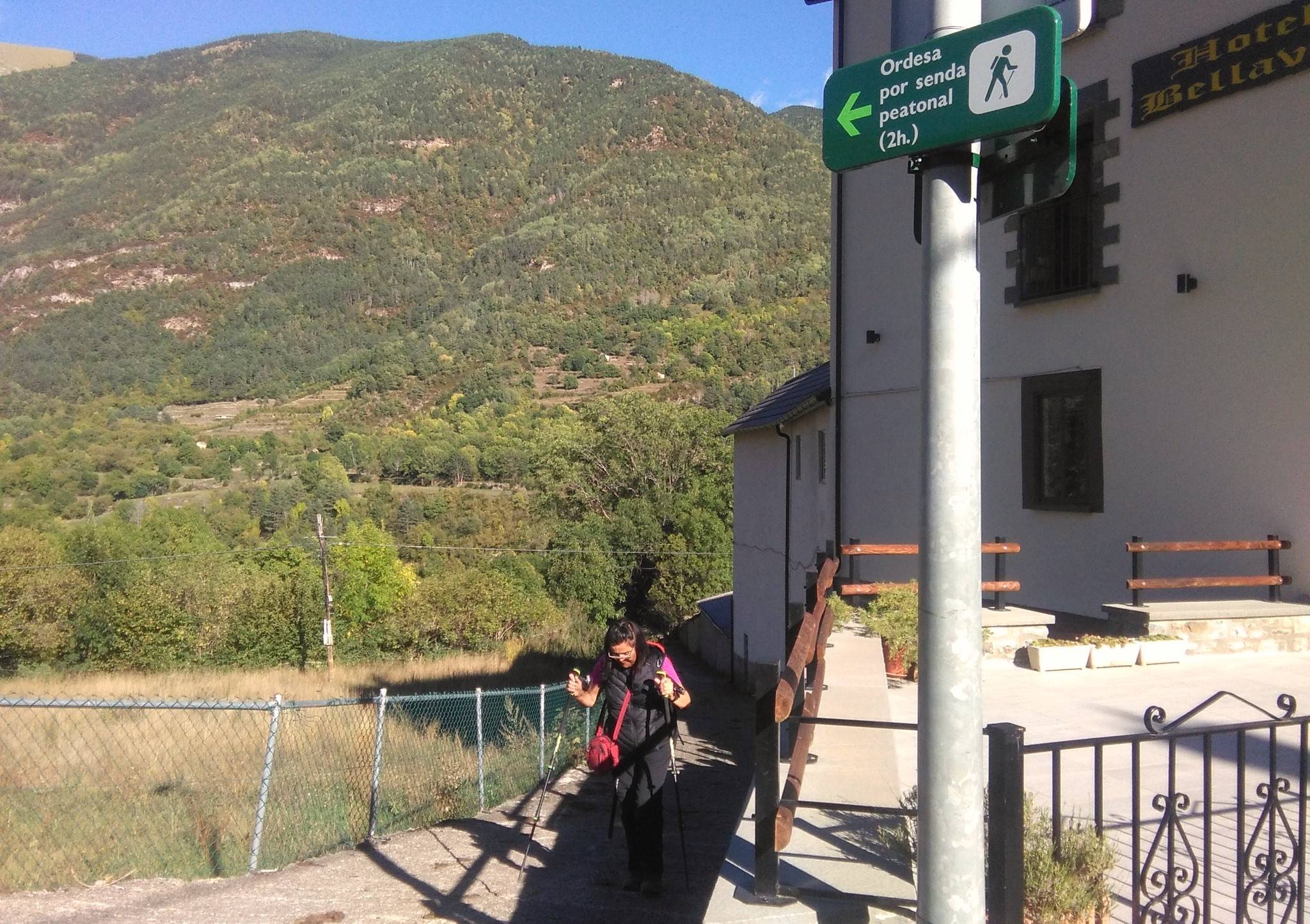
The start point can be found by following the road through Torla towards Ordesa. Around 30 metres after passing the Eidelweiss hotel, see the green sign on the right of the road which points for ‘Ordesa por senda peatonal’ (see photo). Follow the wide cobbled track down as far as the country road. Cross the bridge over the River Ara and continue on towards the campsite. A few metres before the site bear right, taking the sign for Santa Ana and start the ascent on the rural road/track. The route is waymarked with white/yellow stripes – it’s the PR-HU 129.
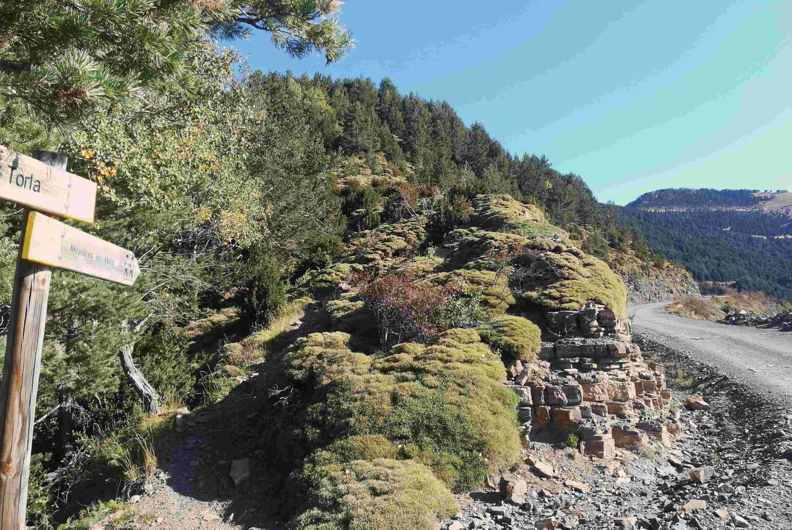
The PR route turns off the road to climb in a more direct fashion up the hillside; the ascent is pretty steep in parts. Those who want a more leisurely walk should stick to the road. After a long climb, the path emerges at the Santa Ana hermitage. Here (after a quick prayer) the walker can continue on the PR path, or less directly on the track, which offers a more gradual ascent. The PR route leads to two viewing points called the Miradores del Molar. Eventually the PR people have to get on the track because the path runs out.
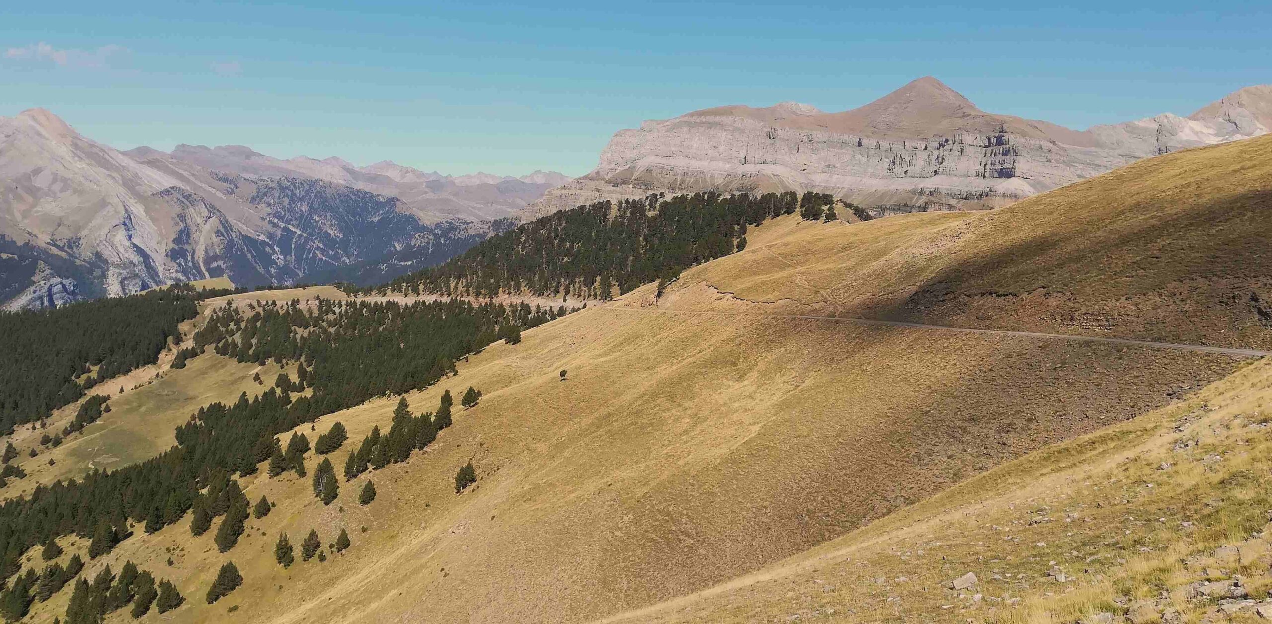
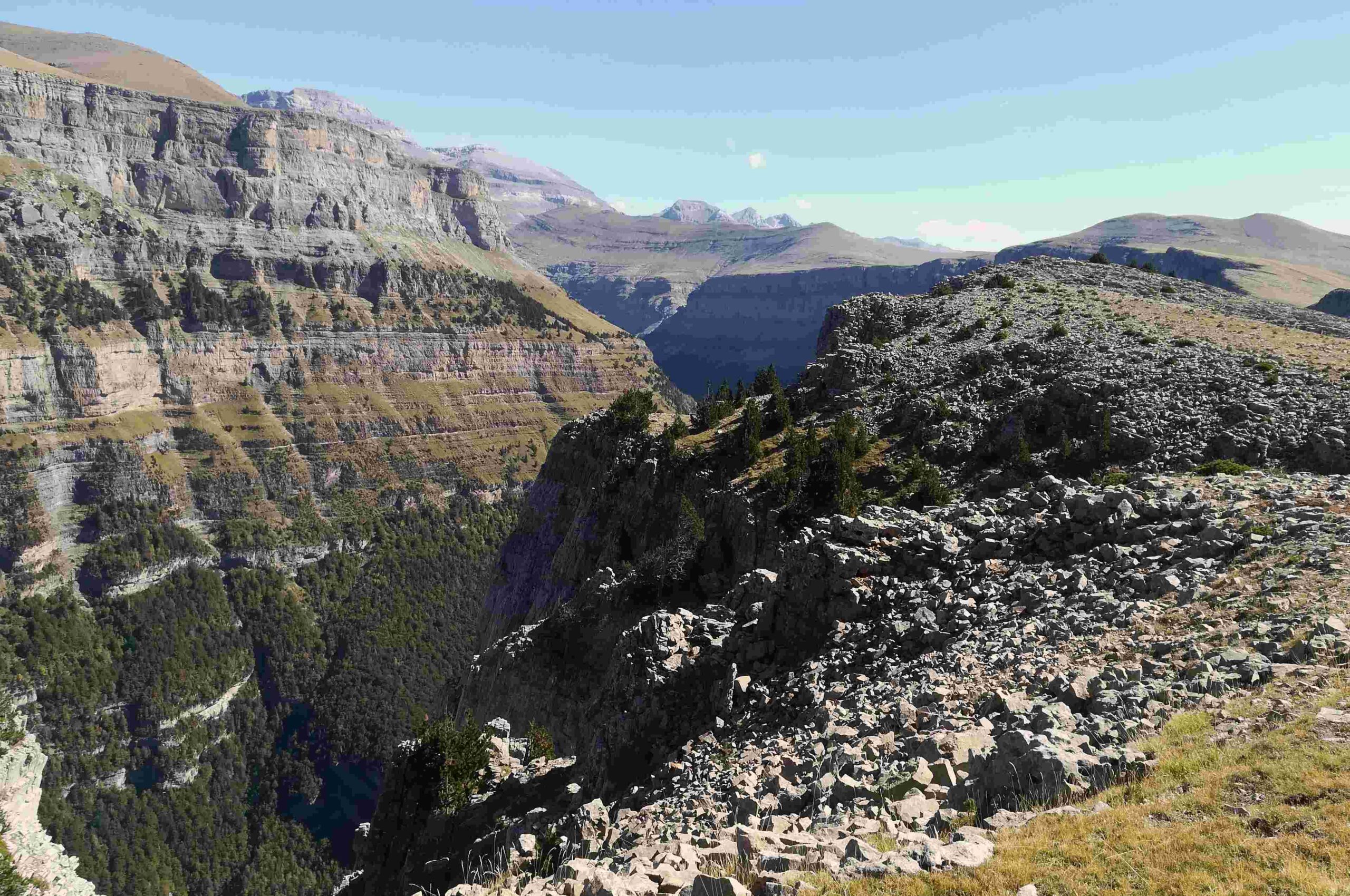
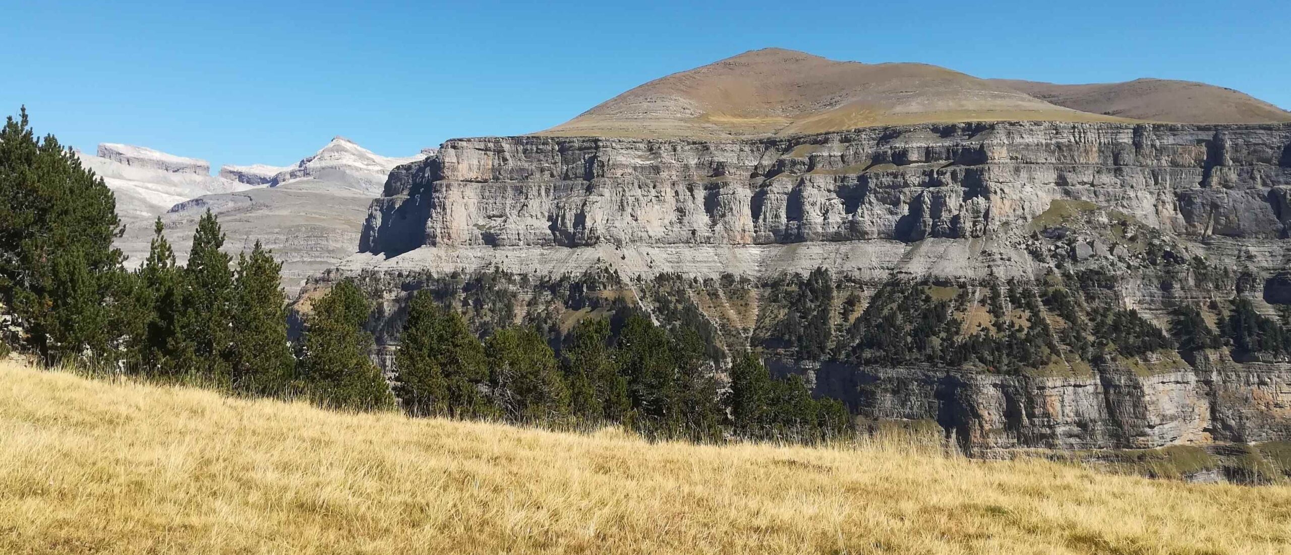
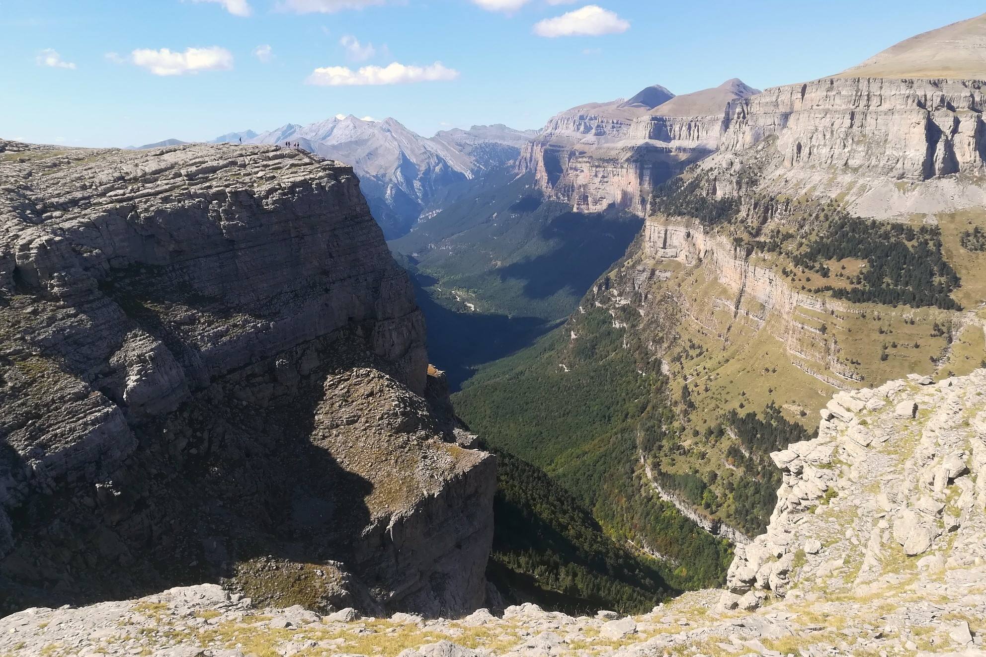
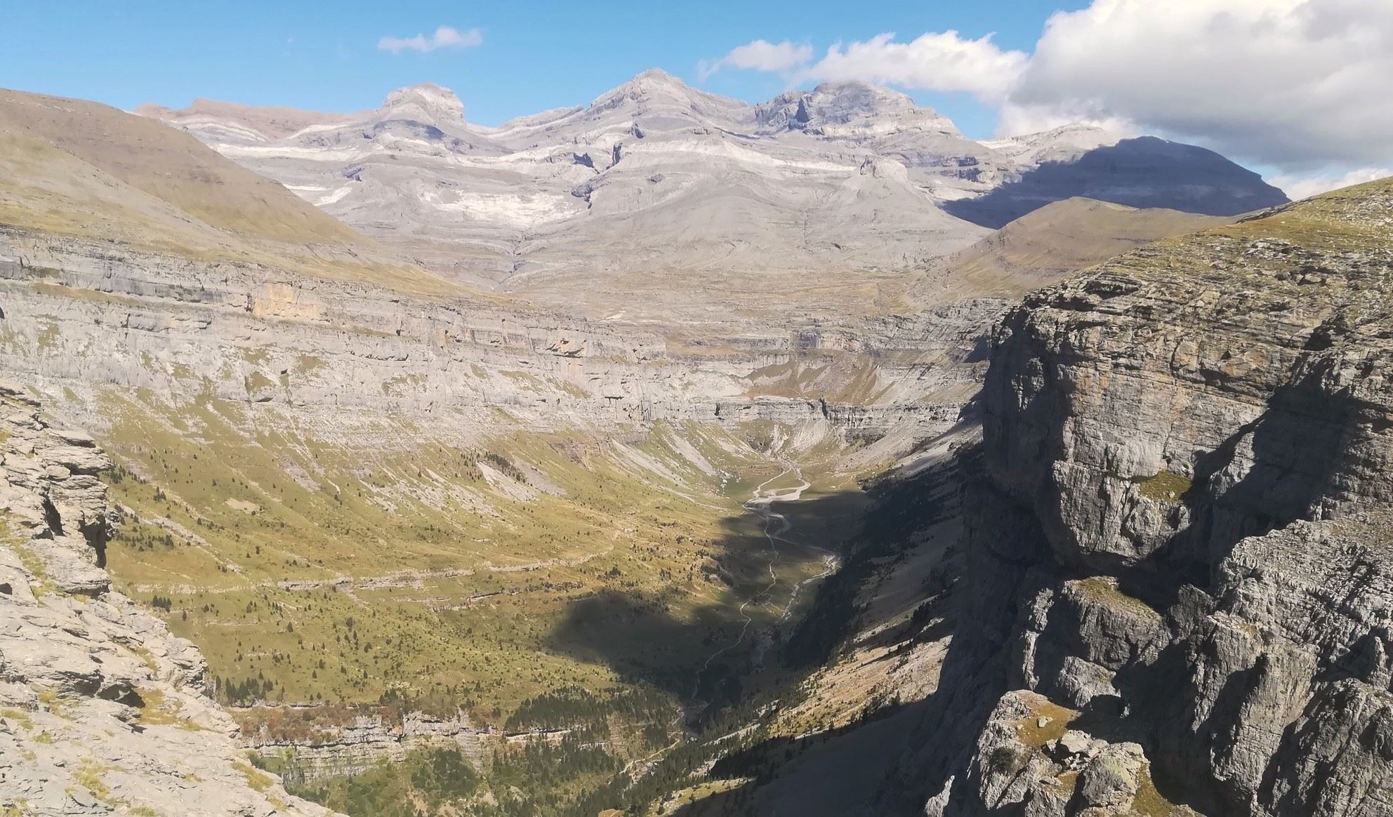
The track continues on and up to a point where it starts to run parallel to the wall of the canyon at a height of around 2,100 metres. This is on a very wide ridge and some stunning views of the canyon start to appear. There are various opportunities for the walker to traverse left for short distances to vantage points to look over the precipice. Great care has to be taken near the wall of the canyon, where falls would prove fatal.
The track is along the right-hand wall of Ordesa. On the left – far away in the distance – the Brecha de Rolando (Roland’s breach) can be spotted, along with towering peaks such as Taillón (3,144m). Continue along the wide track, where there may be cyclists and the occasional 4×4 vehicle.
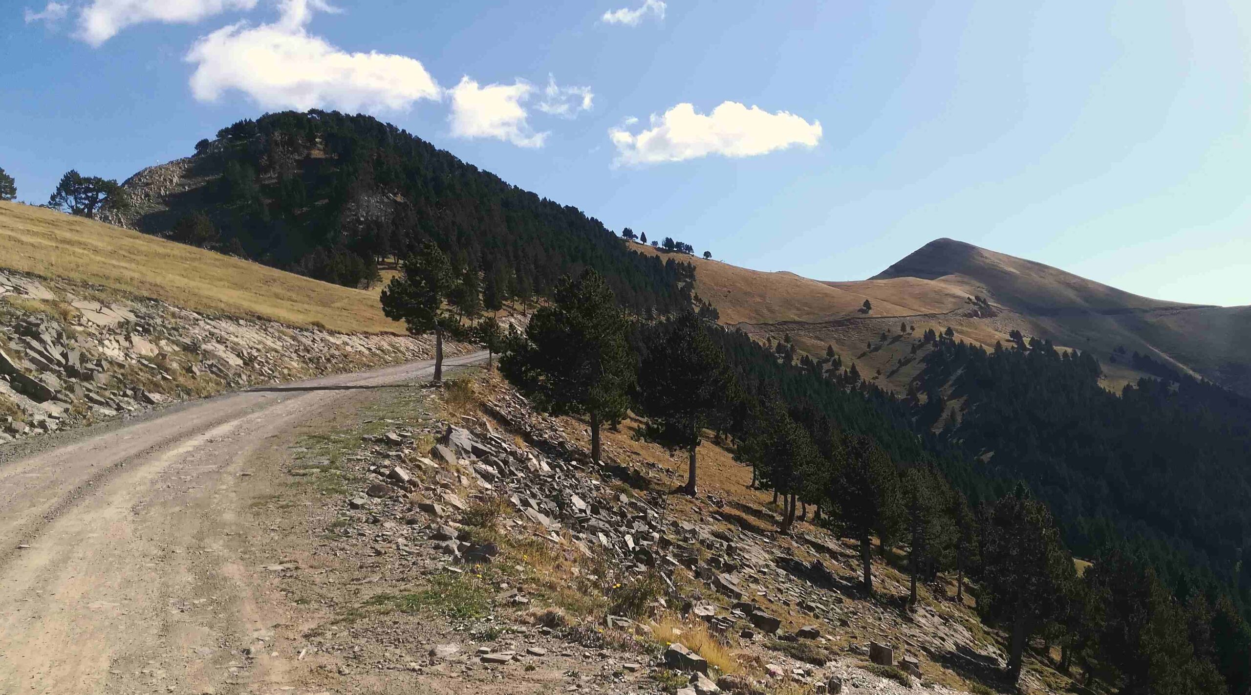
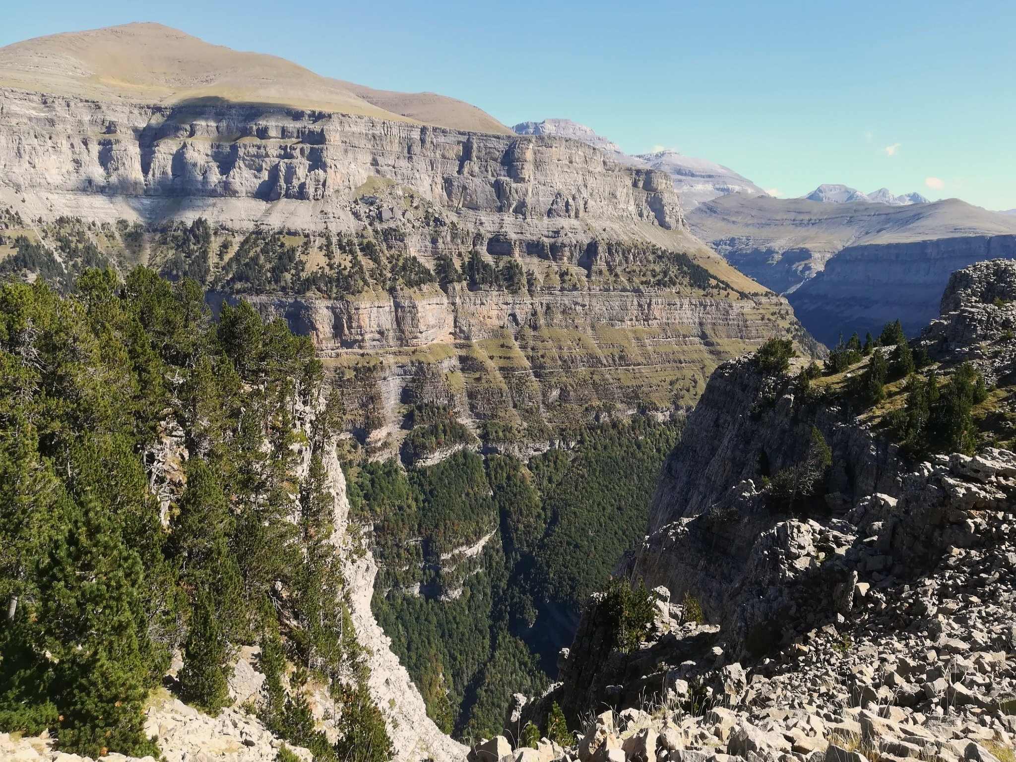
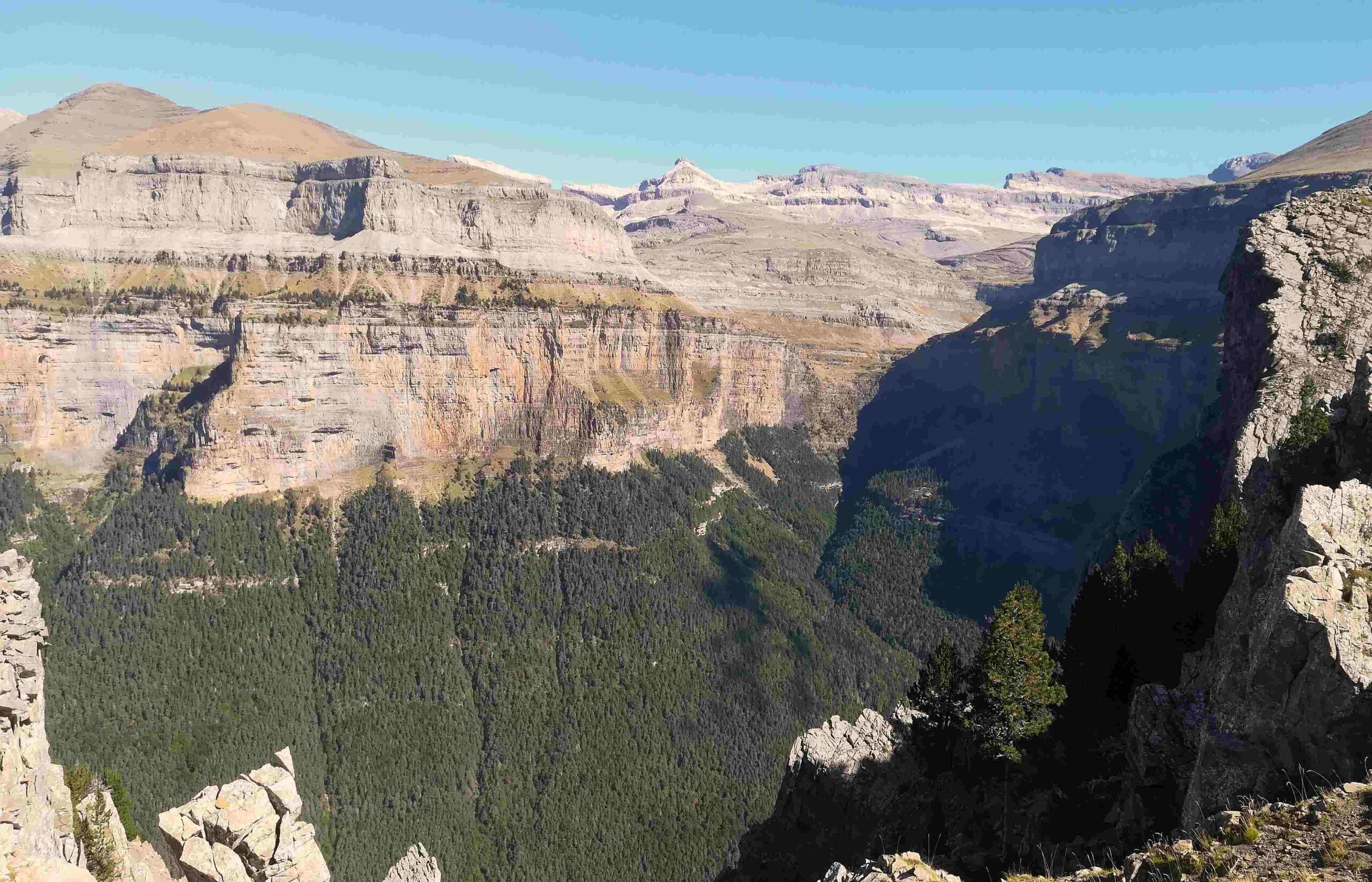
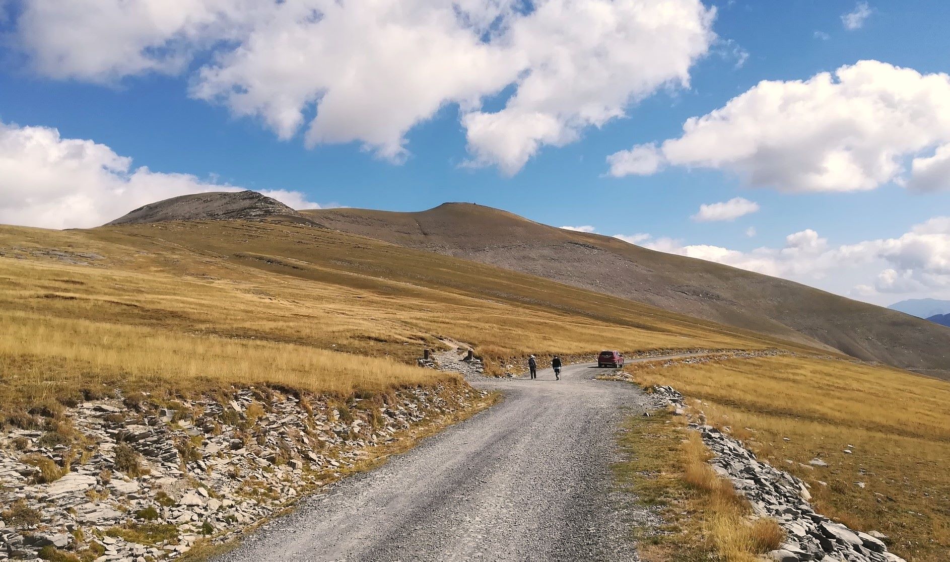
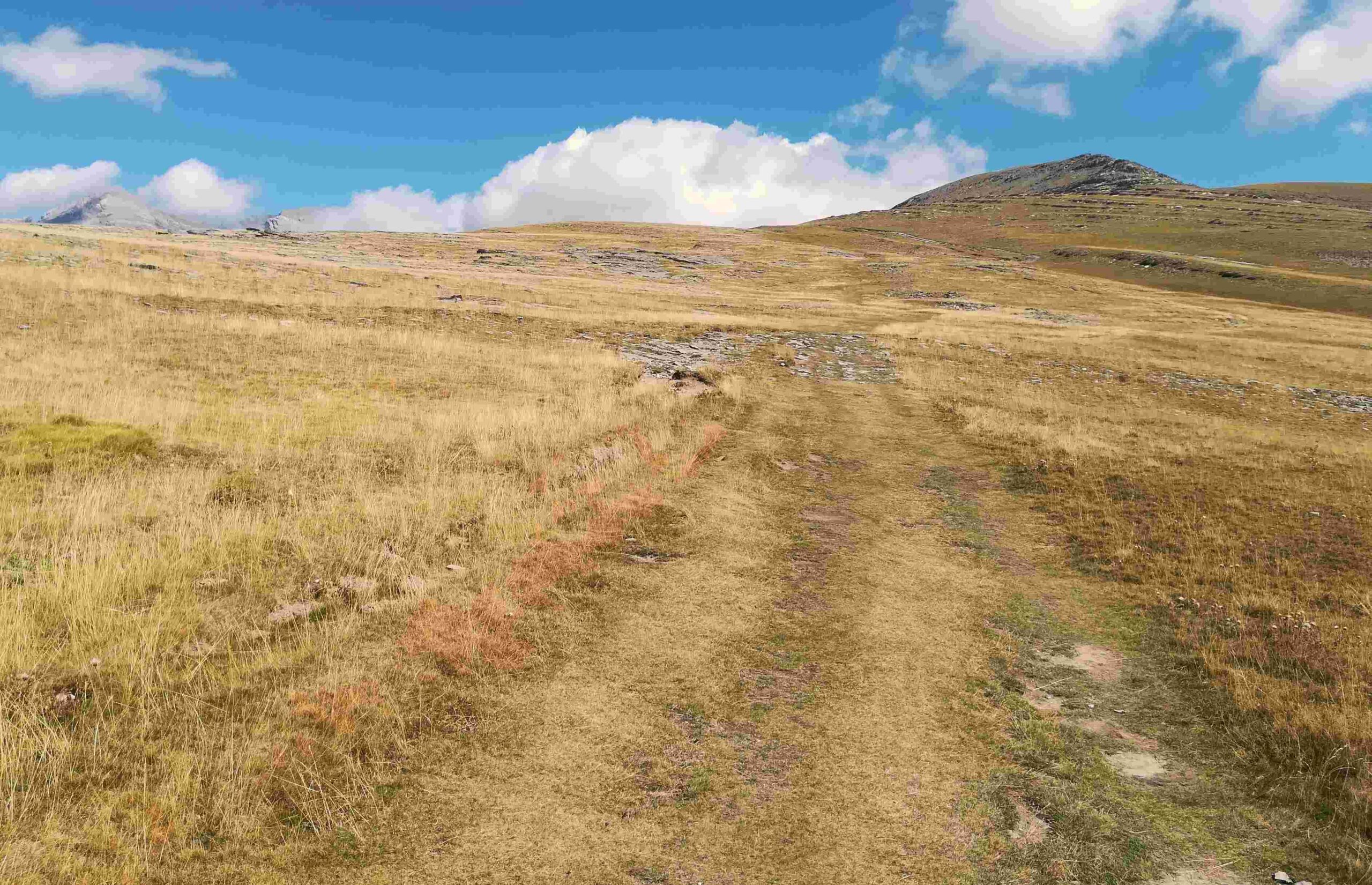
Keep on to reach a turn-off on the left; it is marked by two posts which could have a chain across to stop vehicles (pictured below). After a couple of metres the ascending track turns into grass and the climb becomes even more enjoyable. The track goes up and over, and on to a point above Ordesa which offers the best view of Monte Perdido that I have seen. Day walkers should try to reach this spot, even though it would be at least a 24km hike in total. It’s a wide area above an opening/indentation in the canyon wall (see photo).
From here the track turns into a path. Much more care has to be taken from this point as the path runs close to the precipice, with sharp drops off left into the void. The views are still awesome but complete concentration is needed on this short section.
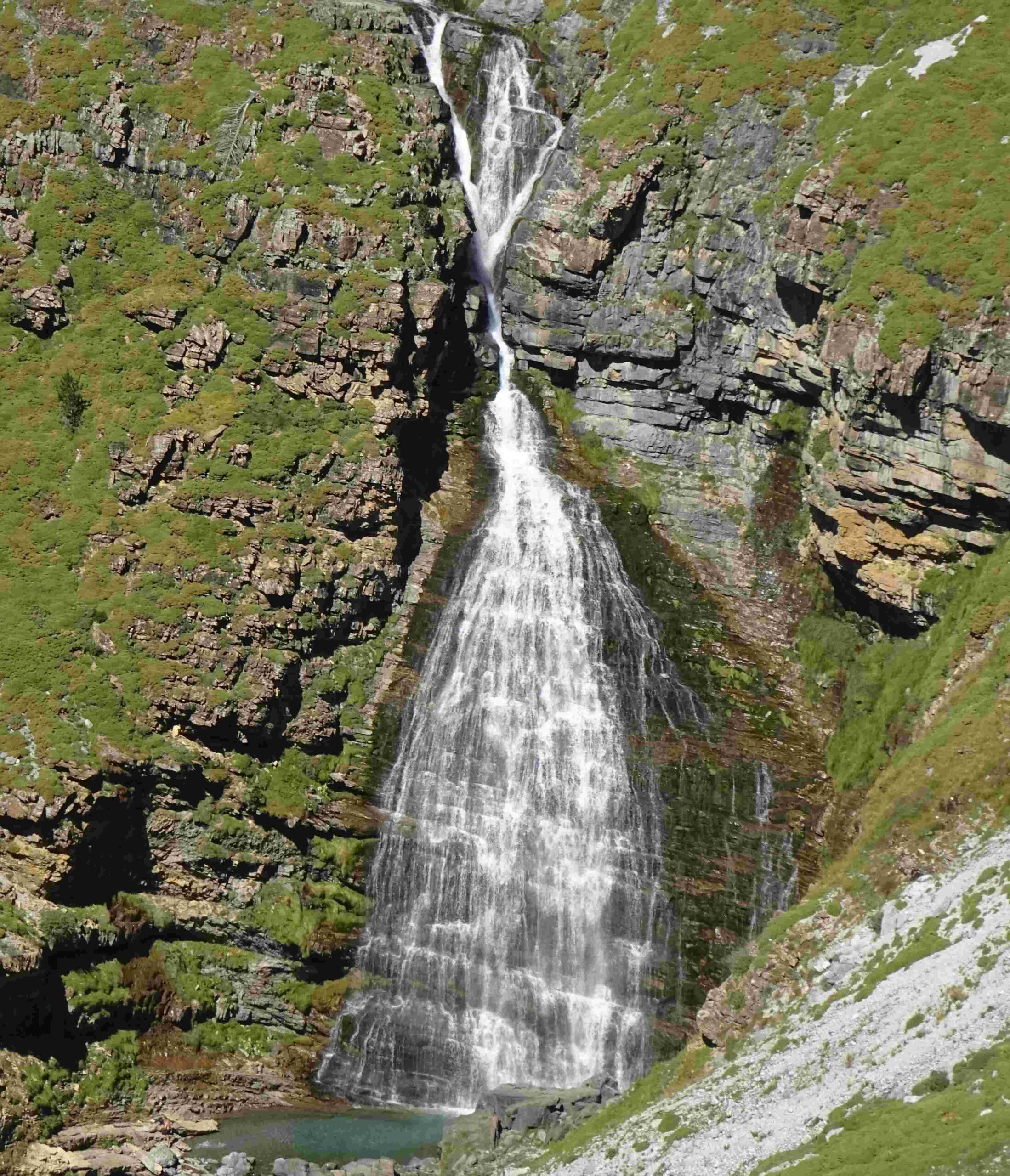
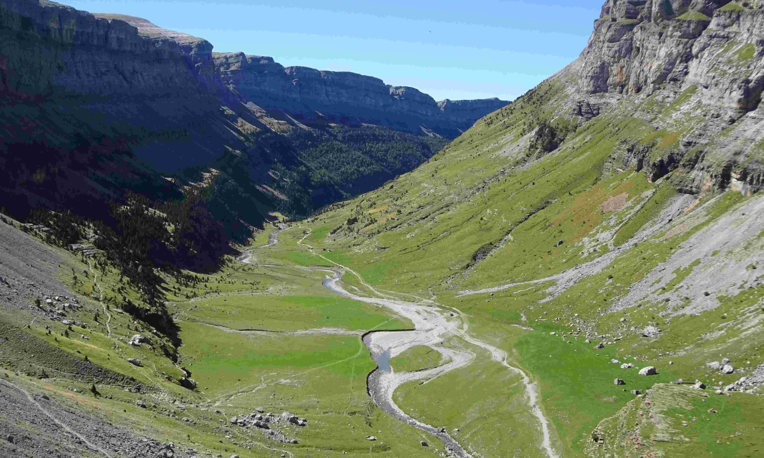
Soon the path is running along a wide ridge again, where the walker should try to keep centre left – and not stray too far away from the canyon wall. A view appears of the Soaso cirque at the top of Ordesa and the famous Cola de Caballo waterfall (named horse’s tail, as it fans out). The destination for the day lies to the right of the top of the waterfall, the Góriz mountain refuge. Follow the path round left as it curves with the cirque and starts to head directly for Góriz at 2,200 metres.
Góriz is an extremely popular refuge and is often very busy, so more people will be milling round on this section. Eventually the path meets up with the GR-11, just short of the refuge. Walkers have to book in advance for a bed (dormitories) at the recently extended refuge and this can only be done via their website at www.goriz.es Also note that wild camping around the refuge is now regulated and only 50 spaces are available. A booking has to be made via the website and a charge paid, which allows campers to use the facilities at Góriz.
Torla to Góriz will take between 7 and 9 hours. The route is approximately 21km, with around 1,350 metres of ascent. The map for the route is the Editorial Alpina ‘Ordesa y Monte Perdido’, available in the Torla shops. Also, see advice on the previous post about using an interactive map.

Recent Comments