
I have fond memories of Panticosa, many of them from stays in the winter months. Although it is now a ski station, the village still has its ‘ancient’ core; a small area of magical old streets which nestle below towering summits. Sitting at home writing this, I can vividly picture the view out of my window on the top floor of Hotel Navarro, across the roof of the 17th century church where snow was clinging to the sloping tiles. Then gazing up – a very long way up – towards the summit of the Garmo Negro at 3,066 metres. As Panticosa only stands at 1,185m, you can understand the necessity for neck craning to take in the giant Garmo and the other 3,000-metre summits, which are a short distance away. It is a view which can be contemplated at any time of day with renewed joy on each occasion.
Another memory has me setting out in falling snow to try to complete part of the walk featured below, which I’ve done at least 20 times. There was already 20cm on the ground and as I climbed, heading towards the Ripera valley, it got thicker. I intended to cross below the Montaña del Verde mountain on the PR HU-95 footpath and circle back round onto a wide track to return. The snow got so thick that it was up to my thighs and it was a huge struggle to progress. It wasn’t a long way to get to the track but it took a very long time; and I was exhausted and mighty relieved on reaching it. With all the effort expended, it meant I had earned my evening ‘menú’ in the Cafe/Bar Escalar; three rustic courses with a free bottle of red that is guaranteed to give you a sore head in the morning.
In Panticosa, the skiers will probably annoy you in winter but there is still plenty to do, with the help of the right walking equipment. Snow shoes are essential for many of the routes during the coldest months. The village is at a fairly low altitude compared with others in the Pyrenees, so in high summer any walks from Panticosa would have to include a dawn start. But that still leaves the autumn and the spring, when mother nature is creating beauty in overdrive and tranquility reigns supreme in the verdant valleys.
The walk
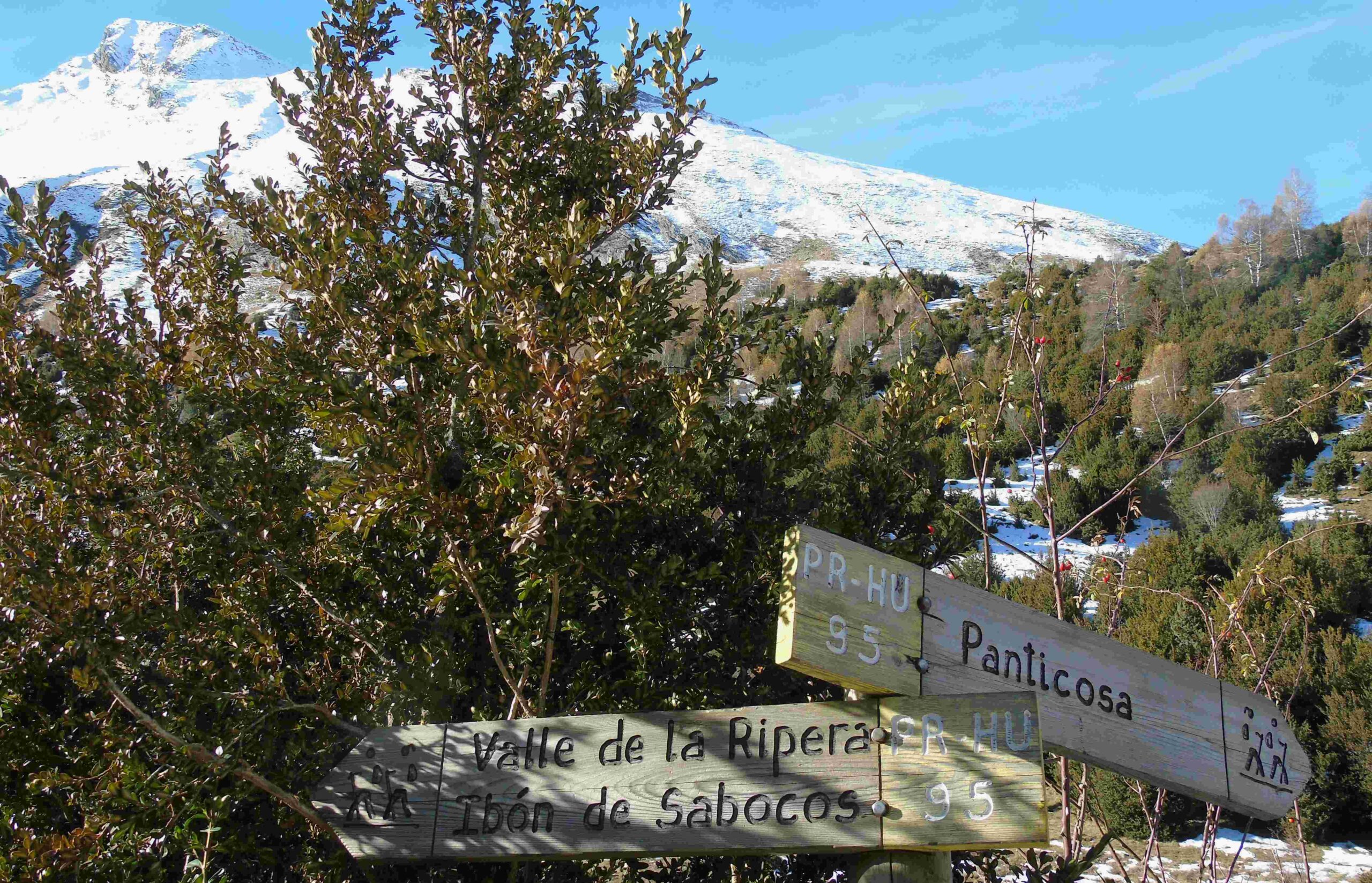
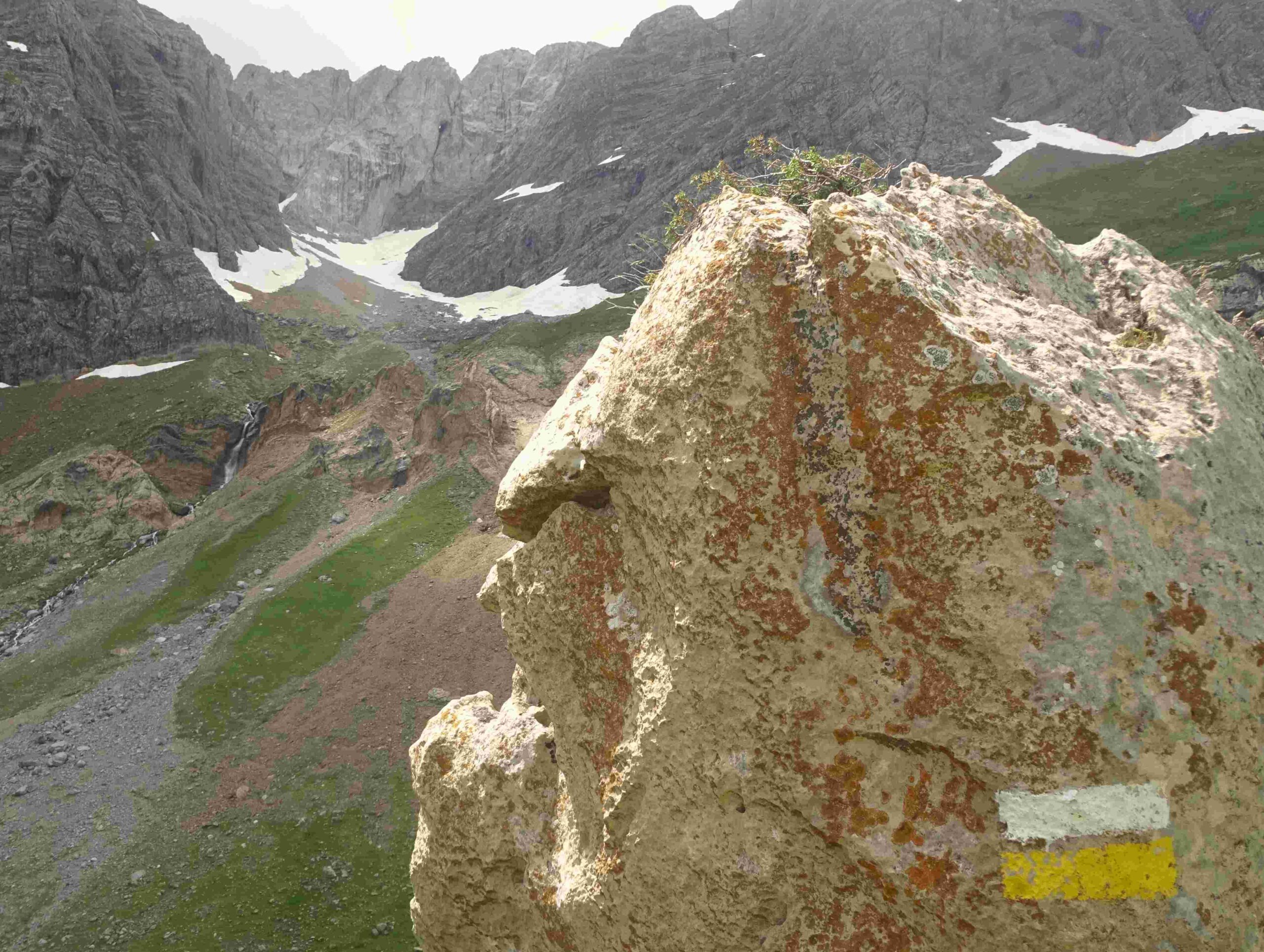
Purchasing of a copy of Editorial Alpina’s Valle de Tena map will show a good number of routes from Panticosa and in the surrounding area. This is one of the best walks, starting in the village and reaching a high mountain area with terrific views. It is on the PR HU-95 footpath, with white/yellow waymarks to follow, up the wide Ripera valley to the Sabocos pass and then the glacial lake below. An interactive map can be found at the Montaña Segura (safe mountains) website, which is sponsored by the regional government, at https://visor.montanasegura.com/ruta/ficha/247
The path starts from the cable car station in Panticosa, close to the River Caldarés. Take a left to go round the front of the station, passing under the wires near the riverbank. Here, notice the walk signpost which indicates the start of the PR HU-95. The path goes up the bank, then round to the right. Make good use of the map, which shows that there are two options to ascend to the start of the Ripera valley. After heavy snow, or in freezing conditions, it may be best to make for the wide track as quickly as possible. To do this, turn off left at the first signpost – and later a right – to follow the shady path to ascend to the track. At the track turn right and follow it for a couple of kilometres.
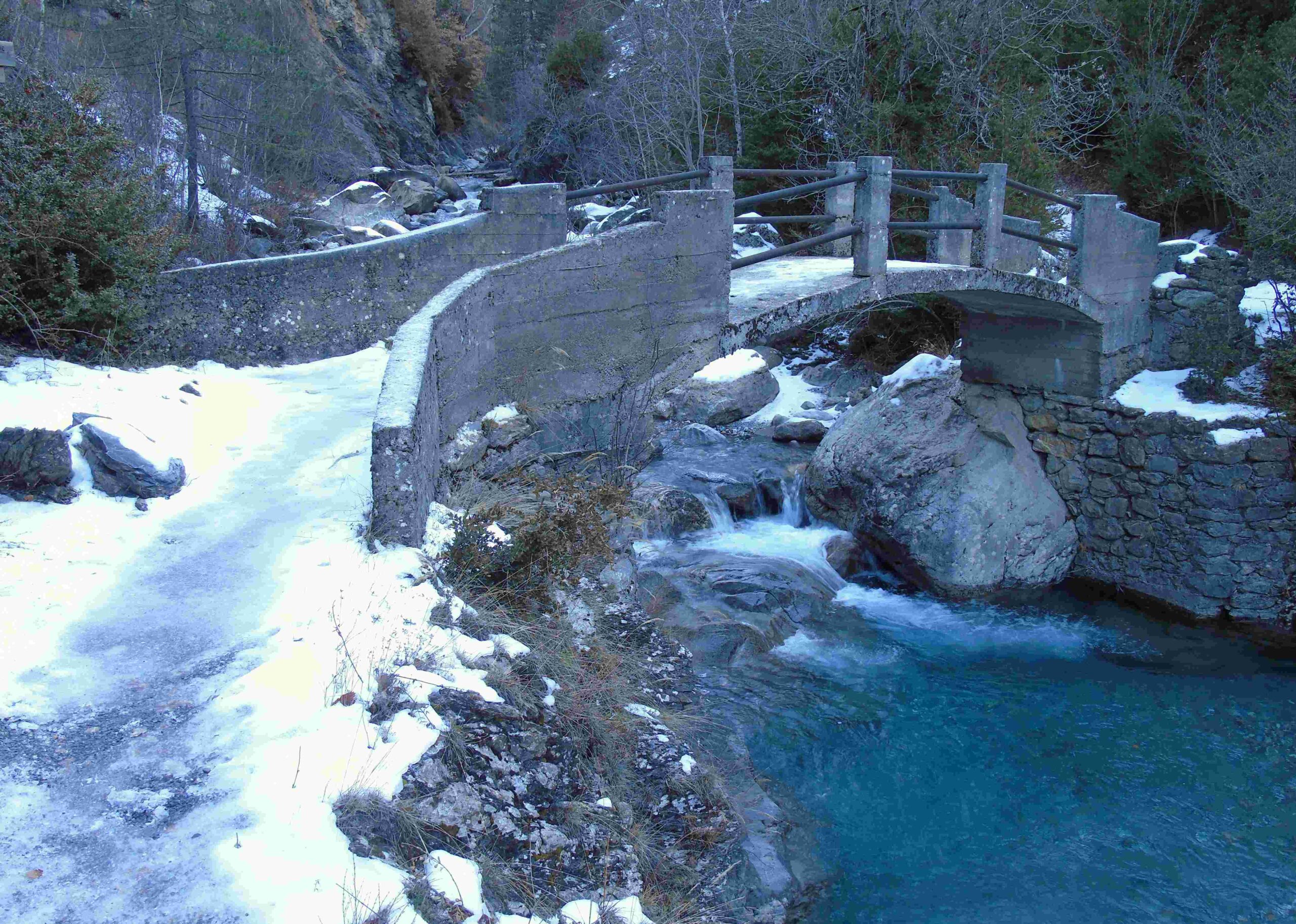
The better route is on the true PR HU-95, which crosses the river on a picturesque bridge and follows the right bank of the River Bolática and then ascends to reach an undulating area above the river. It is a pleasant section on the footpath, passing the Fuente de la Campana spring. Then dropping back down to the riverbank, before the path bears right to enter the Ripera valley and join up with the wide track.
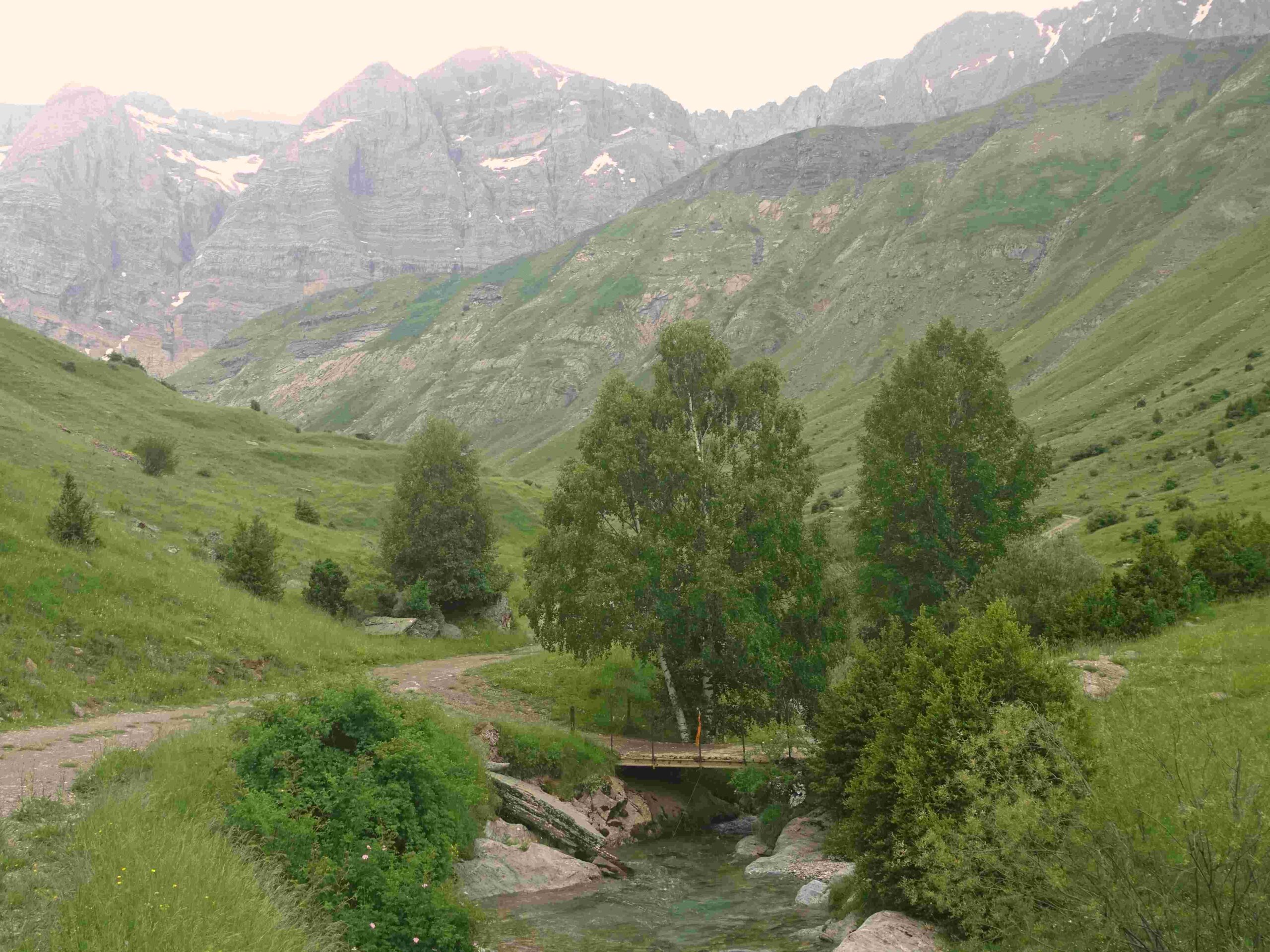
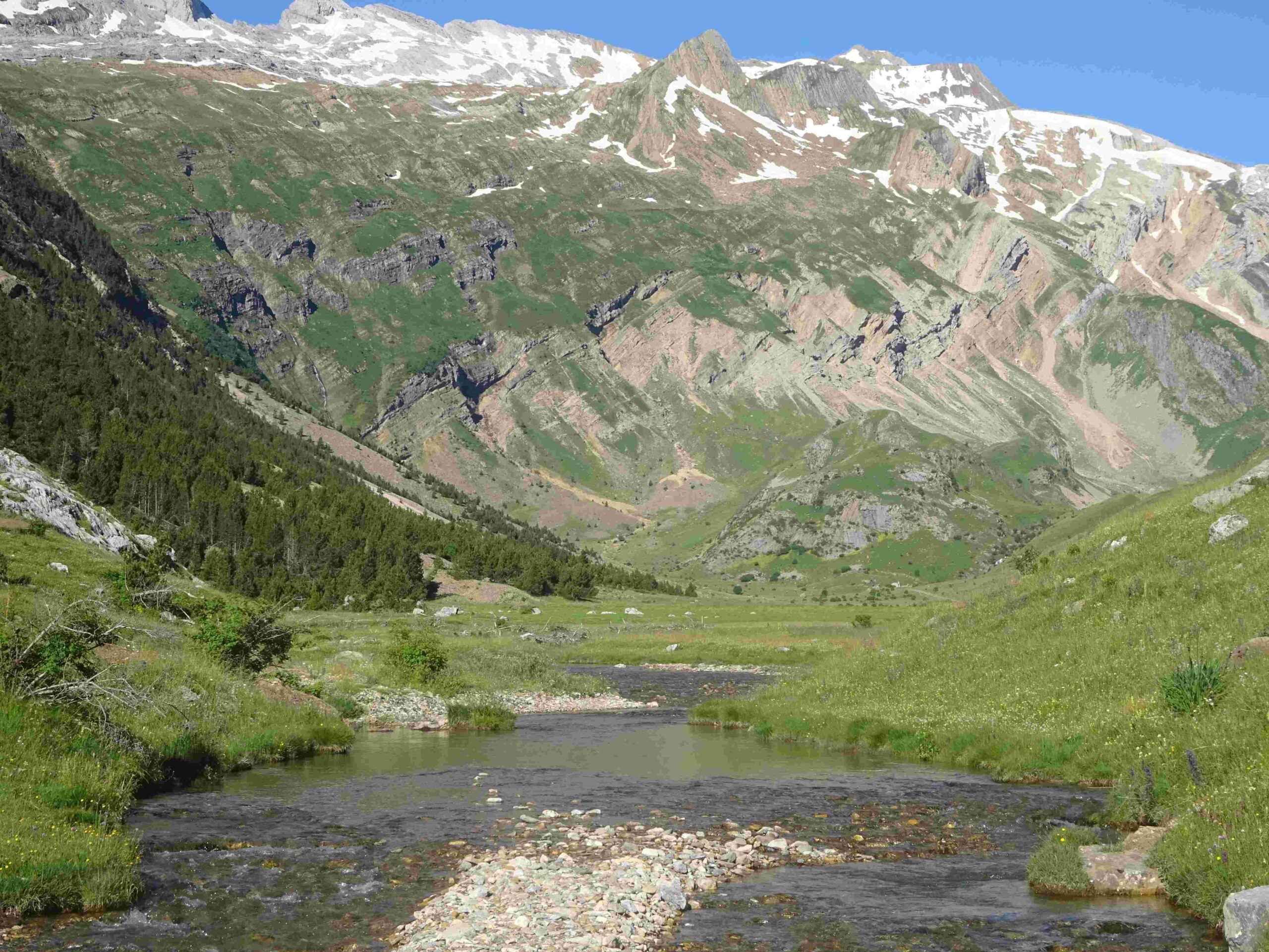
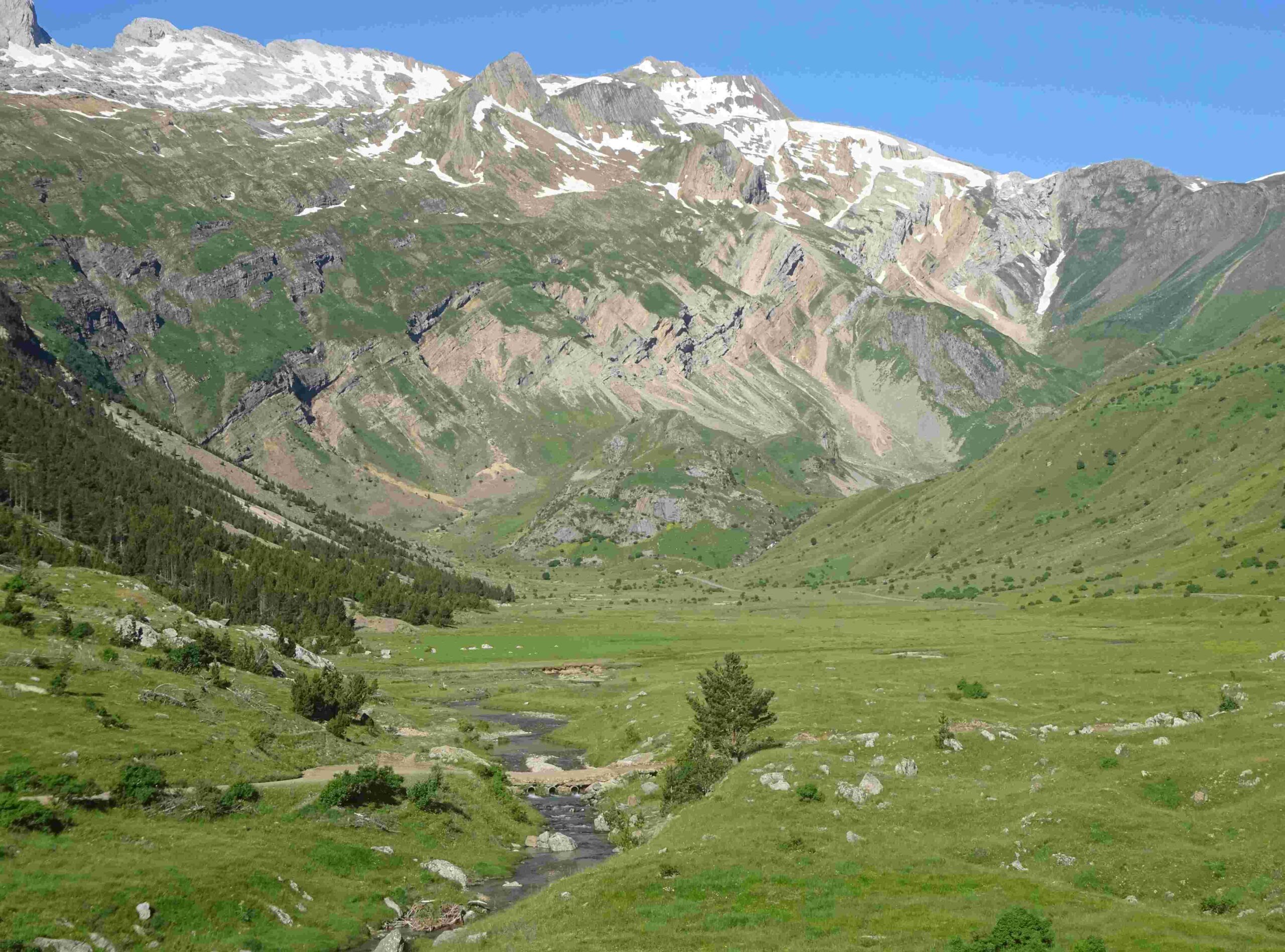
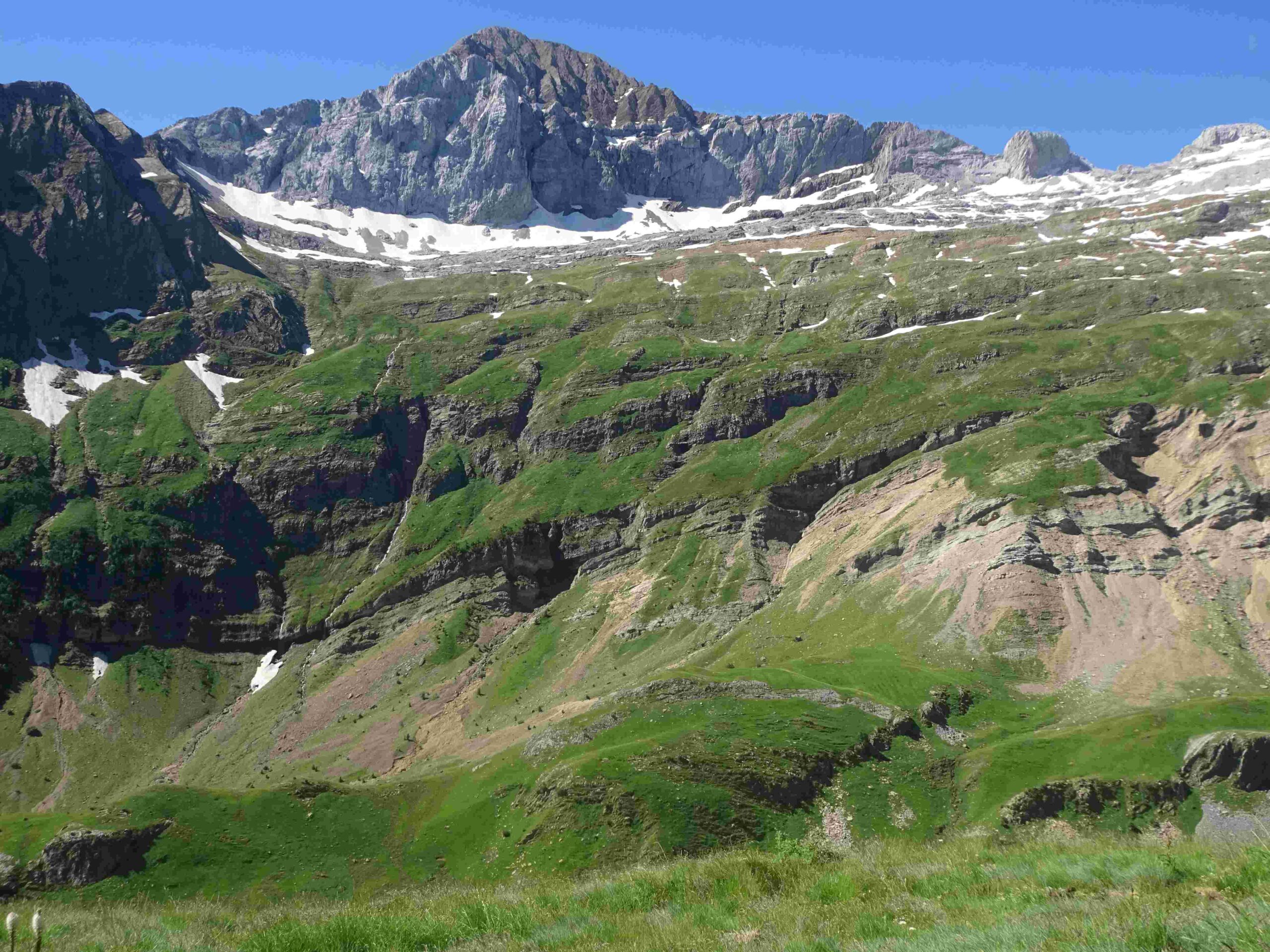
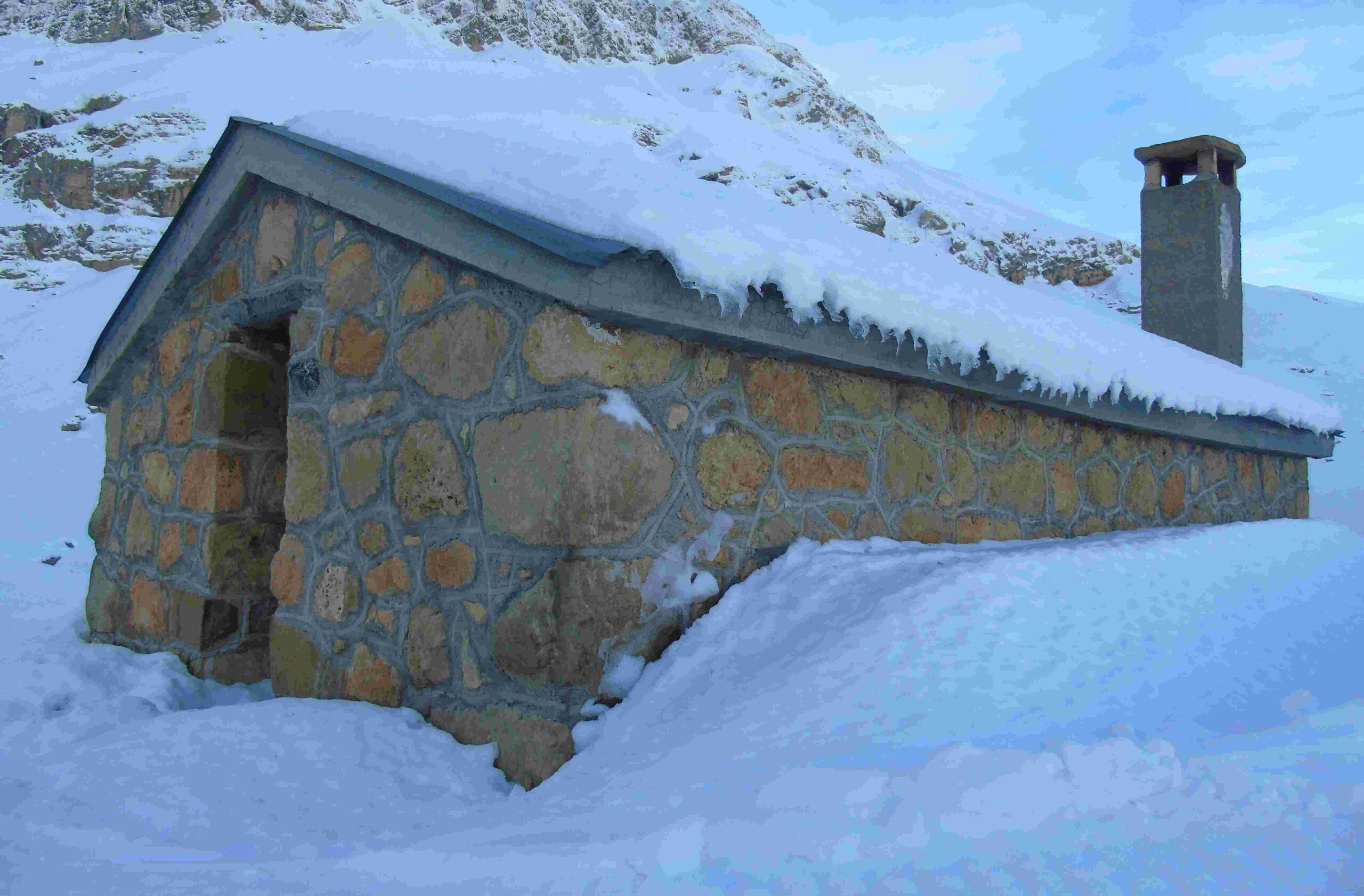
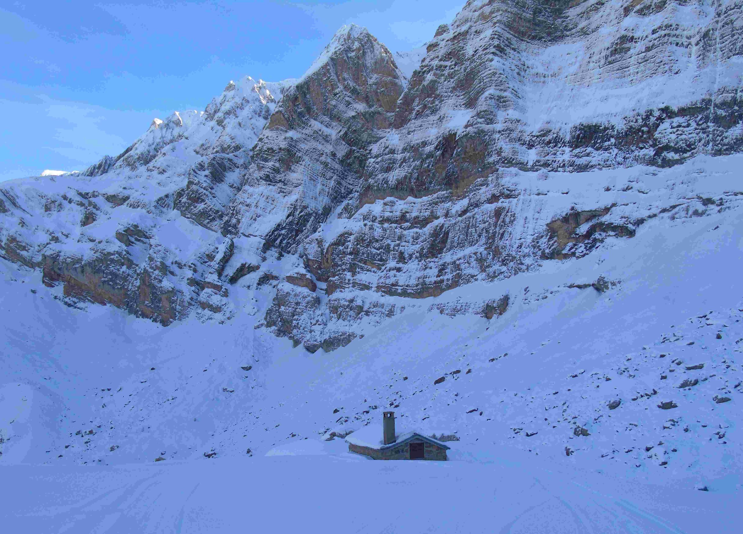
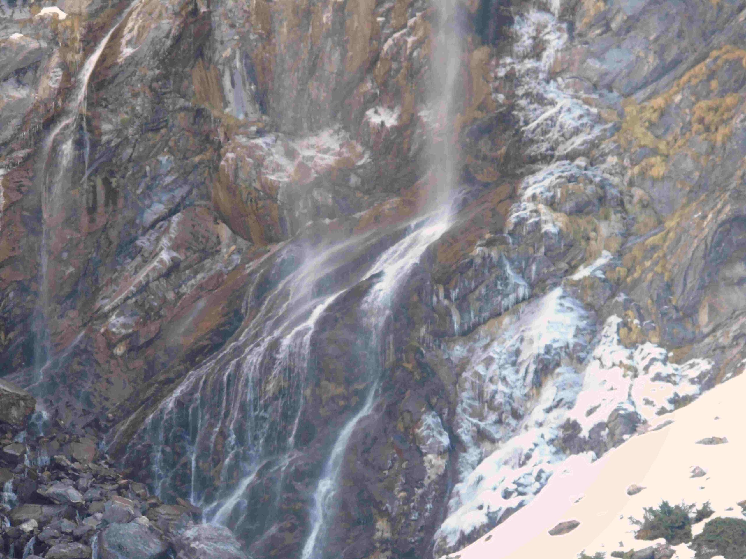
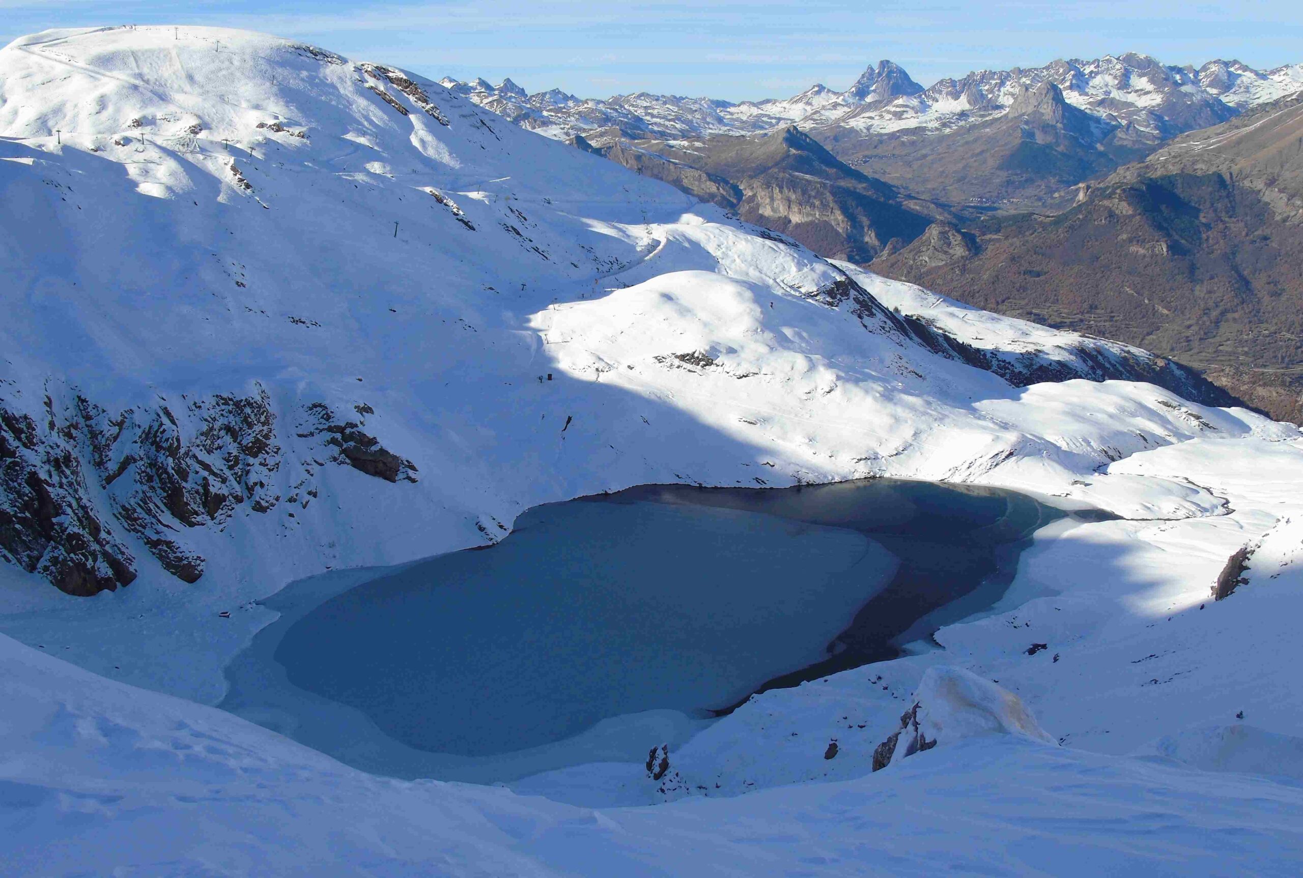
The track ascends the valley, now following the River Ripera. It passes a shepherd’s hut and carries on towards a line of peaks, the Sierra de Tendeñera. Ascending the valley and looking up, the Tendeñera summit on the left is the highest at 2,853 metres, with Sabocos across on the right at 2,757m. The track doglegs right to start the long climb towards the Cuello de Sabacos; ‘cuello’ means neck, and here it is a pass. It is a very enjoyable ascent with terrific views of a waterfall and the summits, following the stream which drops down into the Ripera valley. Less than half way up is another stone shepherd’s shelter (sometimes it’s snowed in).
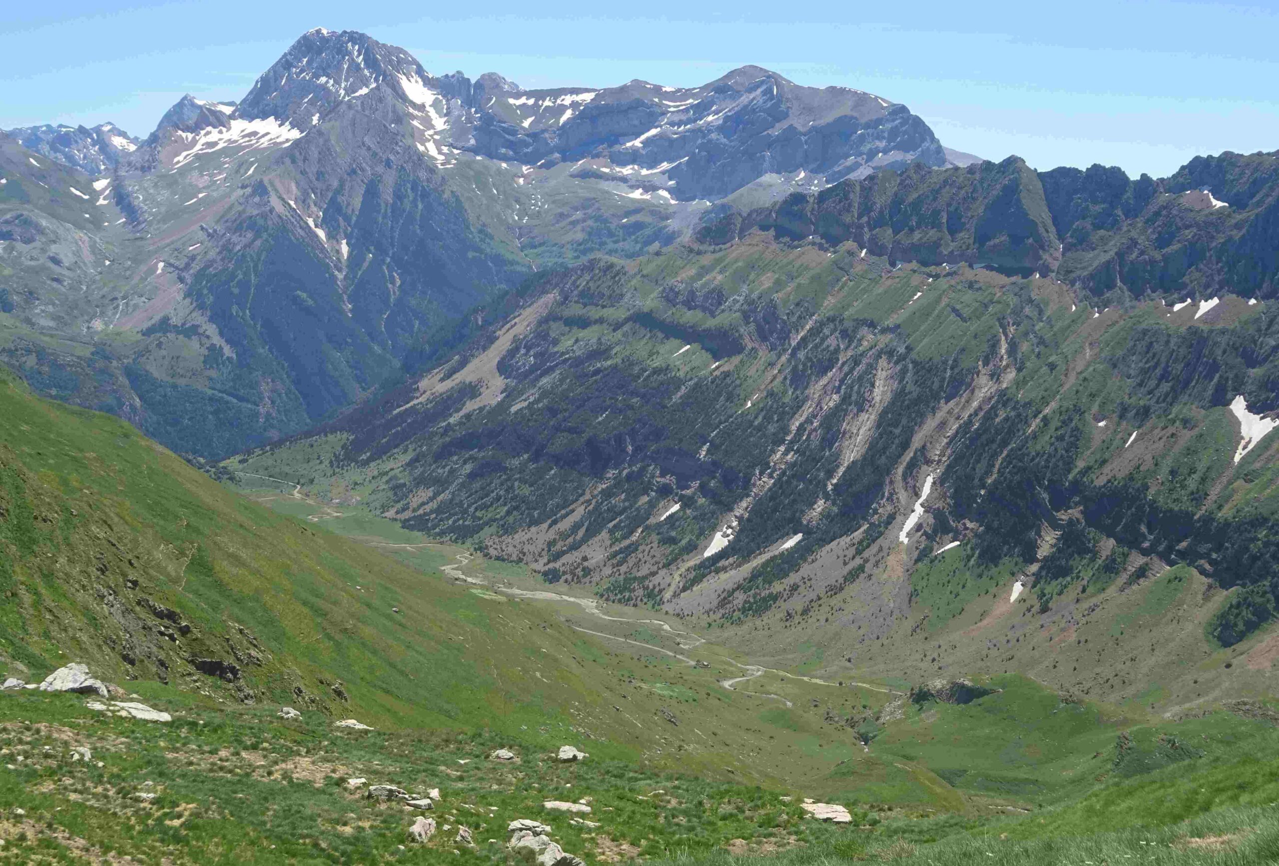
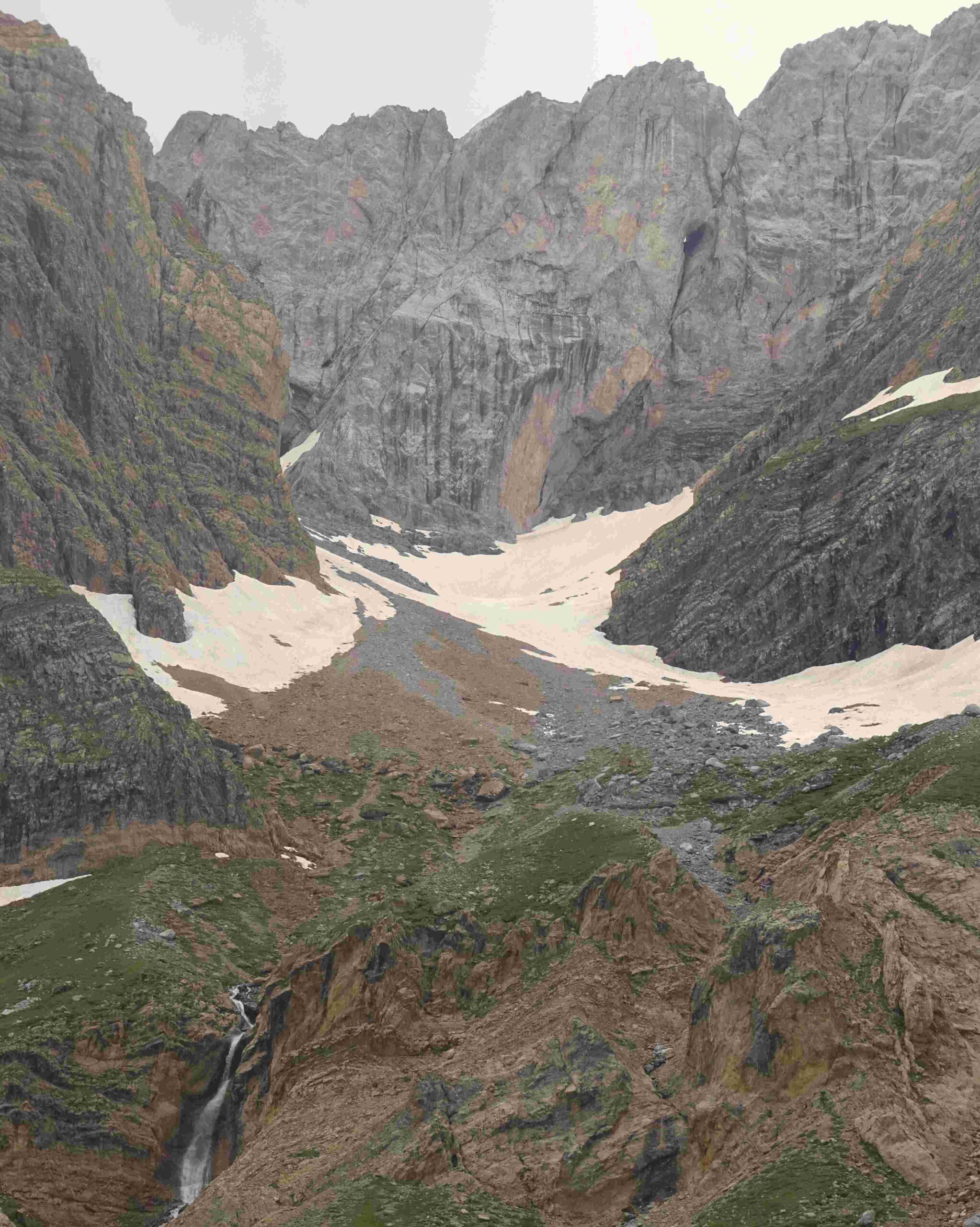
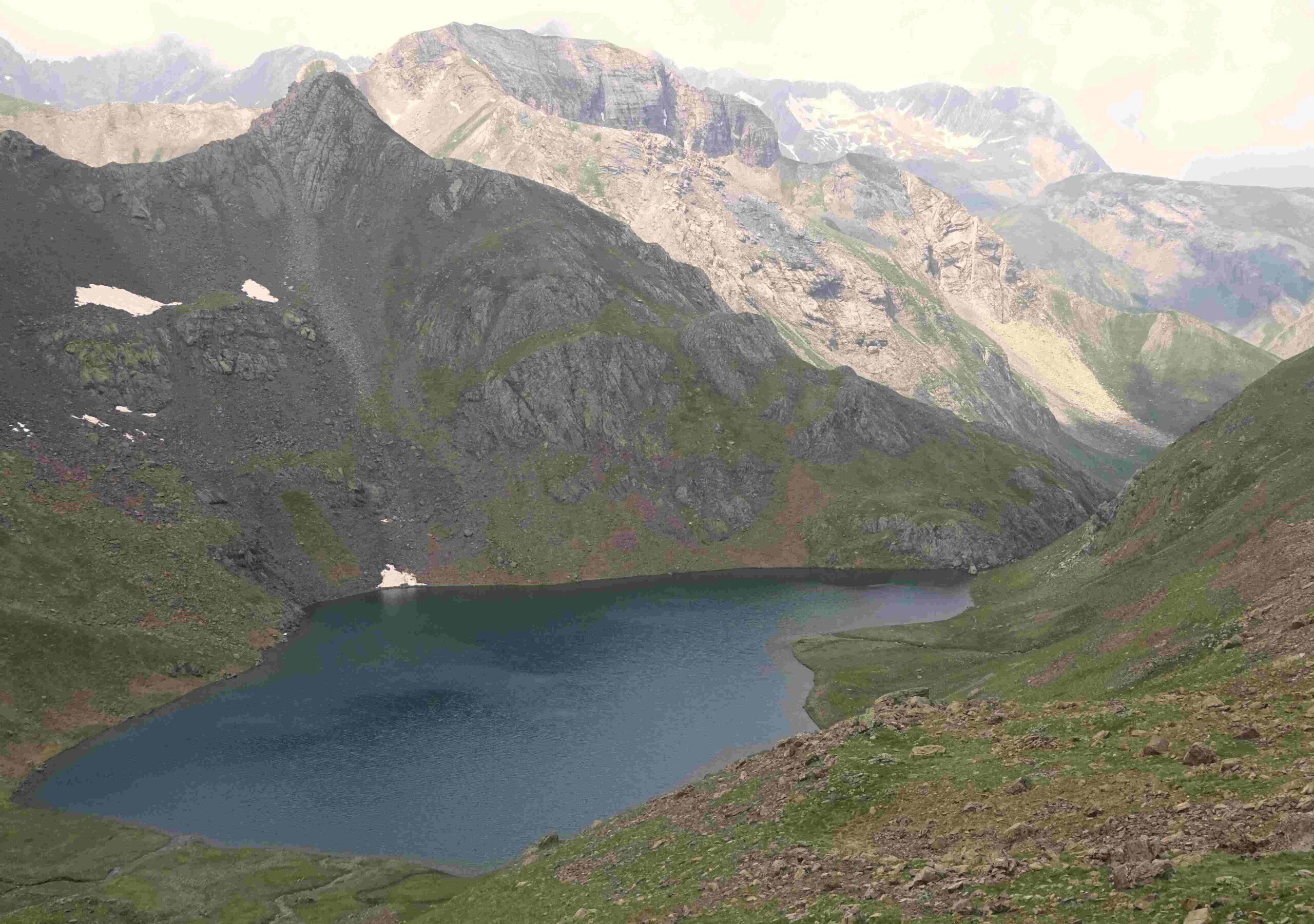
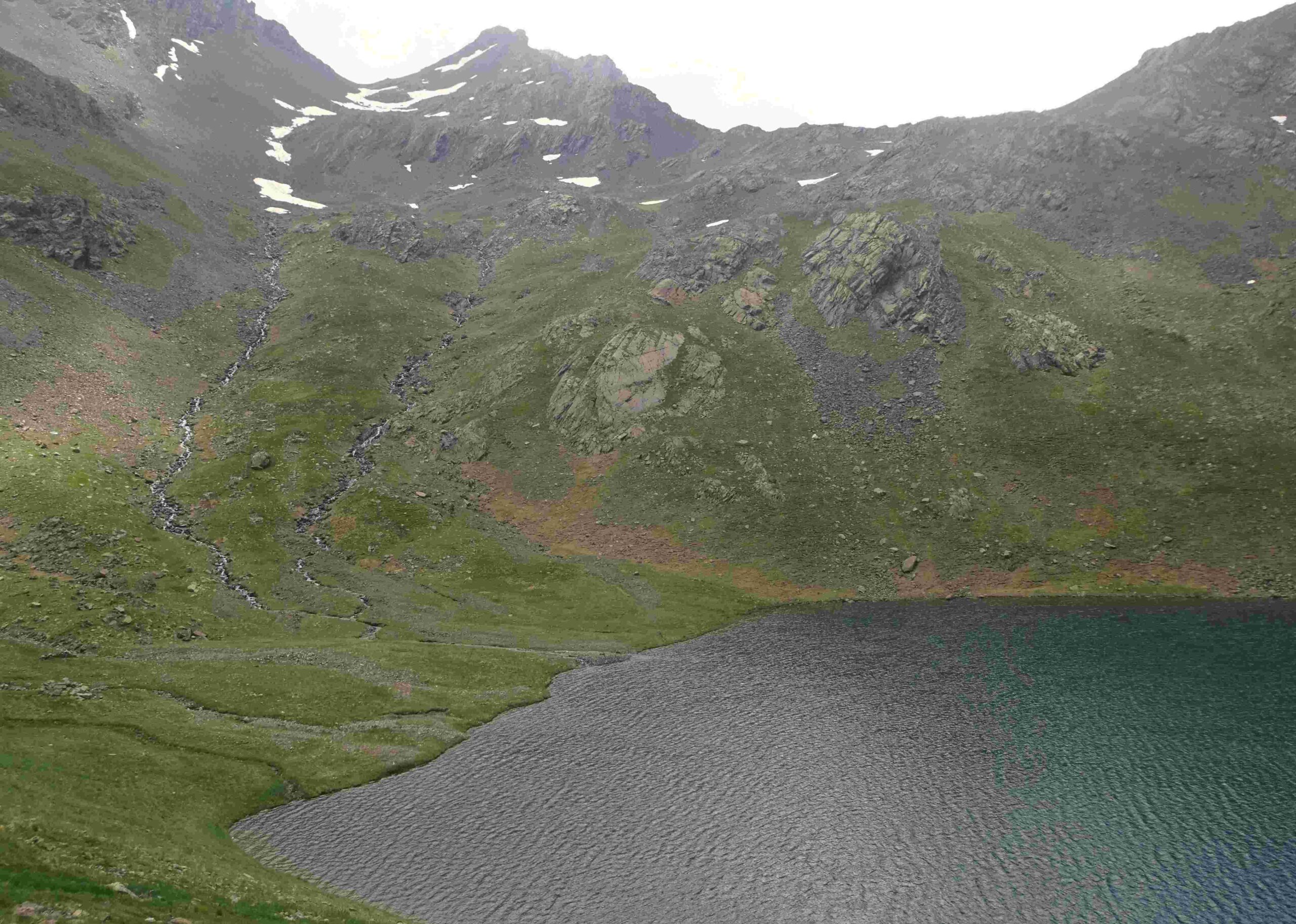
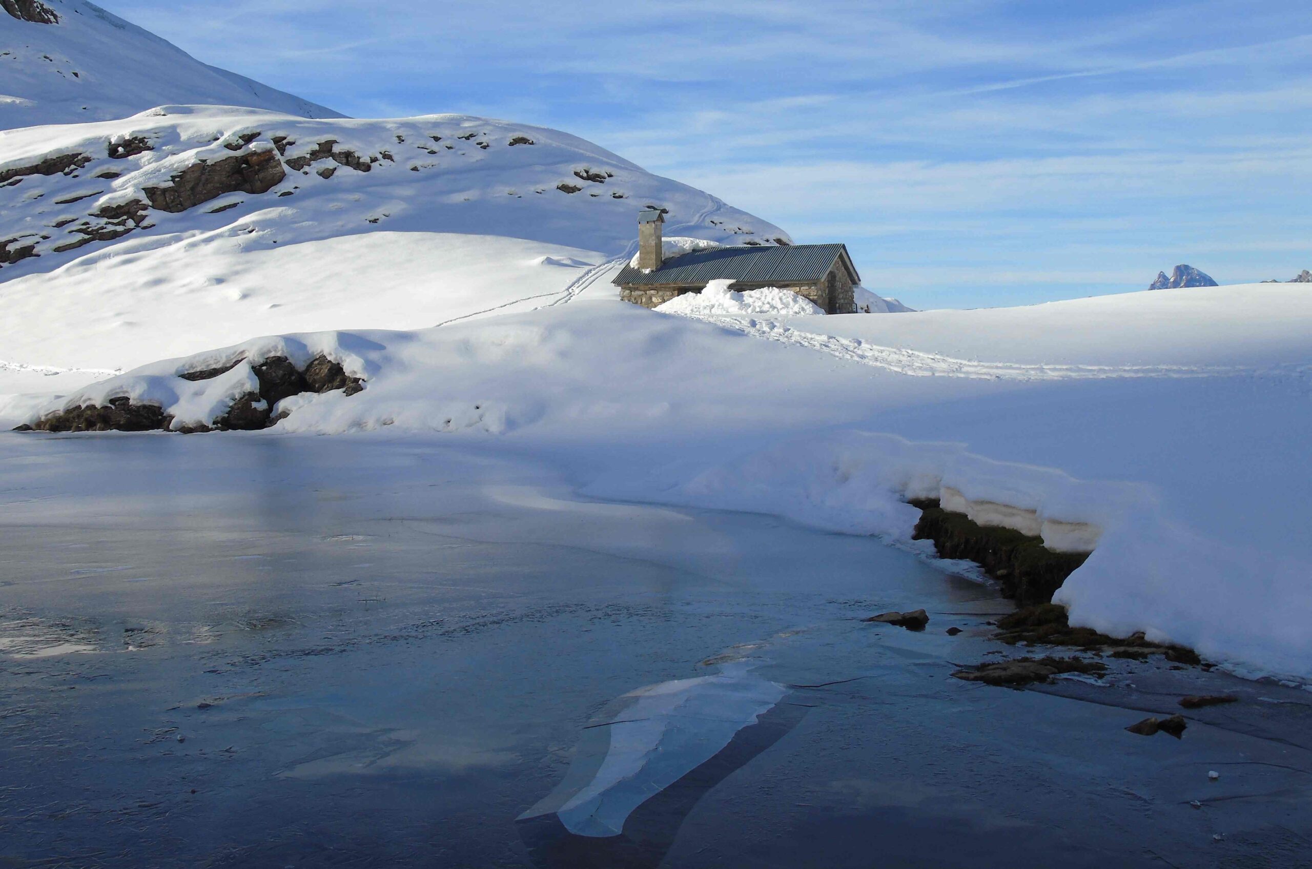
Next up is the Collata del Paul, a minor pass at at 2,040m. It is then undulating country and only 50 metres more of ascent to get to the Sabocos pass (also known as the Collado Verde) where, at 2,090m, there are great views over the glacial lake below. The descent to the lake is slightly on the right, with the path emerging on the right-hand shore by the Sabocos shepherd’s hut.
The path then passes over to meet up with a wide track which is part of the infrastructure for the ski resort. Take care not to descend into the ravine on the right. The track bears to the left before doglegging right to start the long and winding descent back to Panticosa.
There is 1,065 metres of ascent on this walk, which measures 21km. Allow between seven and eight hours.
Where to stay?
The village has a variety of options, with different prices. A good economical spot opposite the splendid old church is Hotel Navarro www.hotelnavarro.com I have also enjoyed staying at Hotel Casa Morlans www.hotelmorlanspanticosa.com Other options via booking.com
Recent Comments