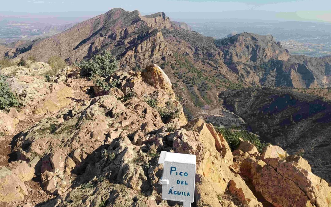
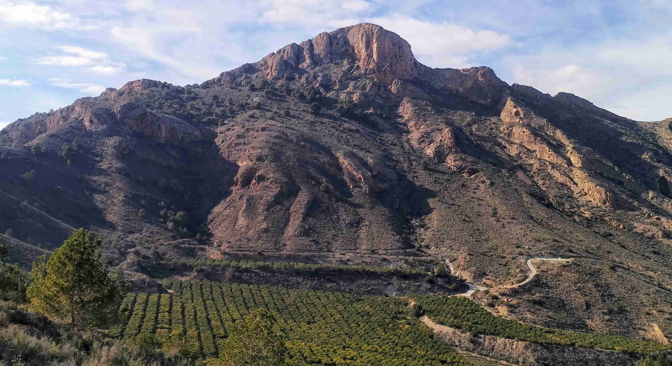
At the southern end of the long, snaking Sierra de Orihuela is the Pico del Águila; the eagle’s peak. It is not the highest summit in these mountains, but it is a dramatic looking lump of rock and it’s an interesting climb to get to the top.
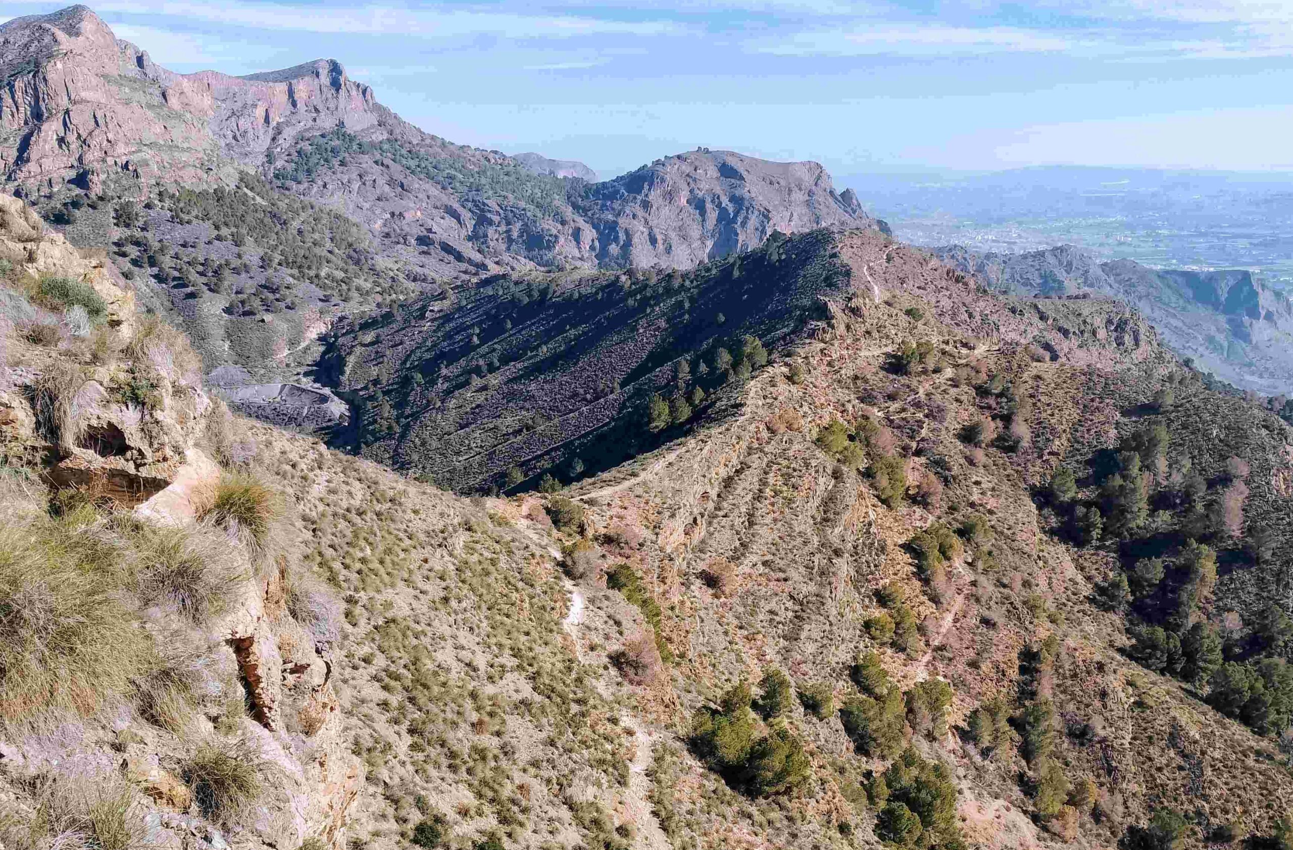
The name suggests that it should be home to a bird of prey or two; but I have never seen one. Perhaps it refers to the bird’s eye view from the summit, with all-encompassing vistas over the Sierra, the ancient city of Orihuela and the Vega Baja; and across to Alicante’s inland mountain chains and into Murcia.
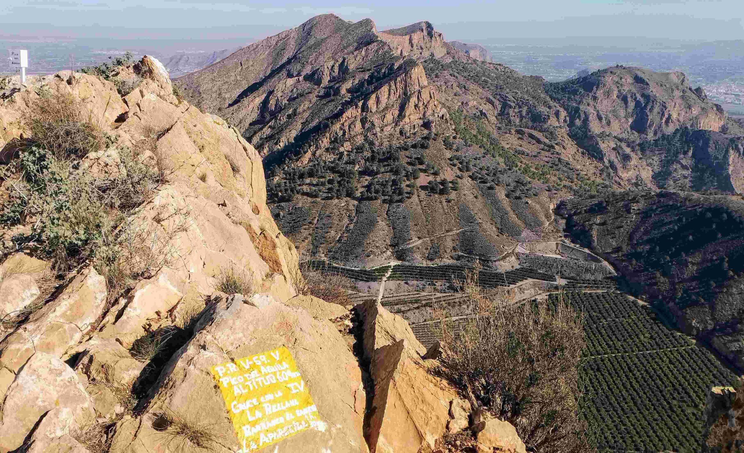
The peak is one of the highest points in the low-lying Vega Baja. The map records its altitude as 606 metres, but this would not be Spain without other measurements being offered. The regional walking federation sign just short of the summit has it down as 609m, and I have also seen 608m, so take your pick. Just for the record, the highest point in the chain, the 634-metre Peña de Orihuela appears to be uncontested, which is a rarity indeed.
The walk is an almost-circular route from the village of La Aparecida, which stands at just over 30m above sea level. The path follows a ravine, El Sanes, to get most of the way to the summit. Then there is another ravine to get part of the way down. There are short sections which are fairly steep and small fixed wires in place to help with the pull up or down in a couple of spots. But in general this is not a difficult route for regular mountain walkers.
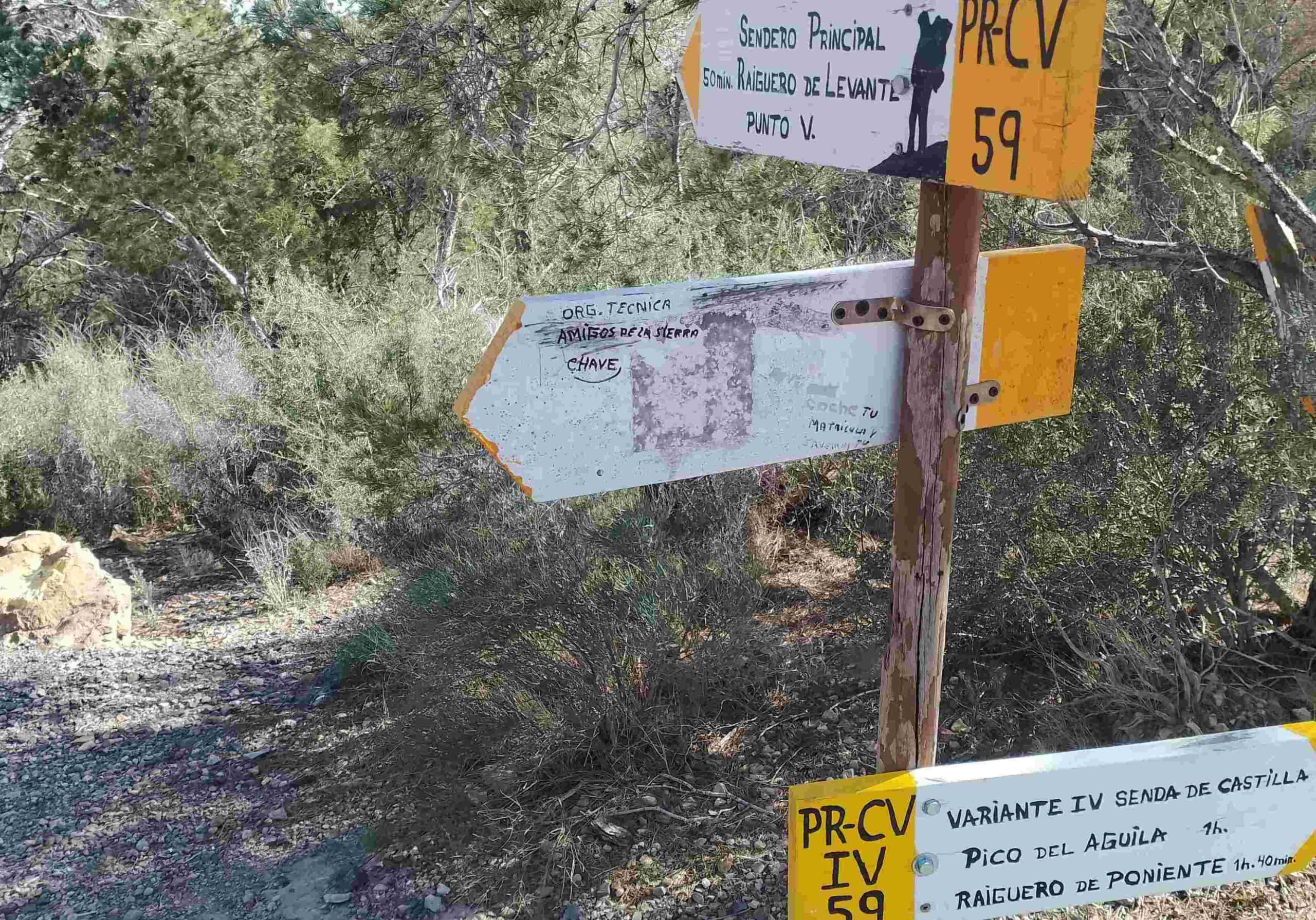
The walk is variant IV and V of the PR-CV 59 waymarked trail. Regular waymarks make the route easy to follow, for the most part. Park up at the cemetery gates in La Aparecida to start the trek, where singing of The Smith’s song is optional.
A point to take into consideration is that it can get very warm in this area at any time of the year nowadays, so early starts are advised along with a check on the weather forecast. This route should be avoided in the summer due to intense heat.
A map of the Sierra de Orihuela with walking routes is available from Orihuela town hall by googling PR-CV 59; it is a pdf download
The walk
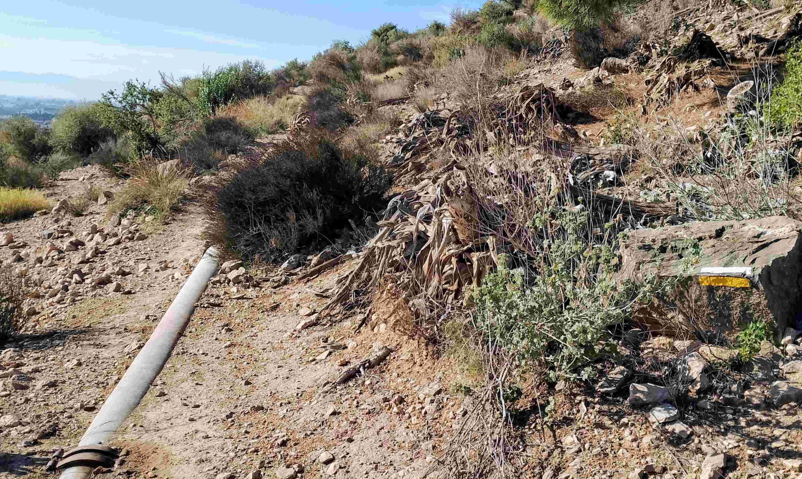
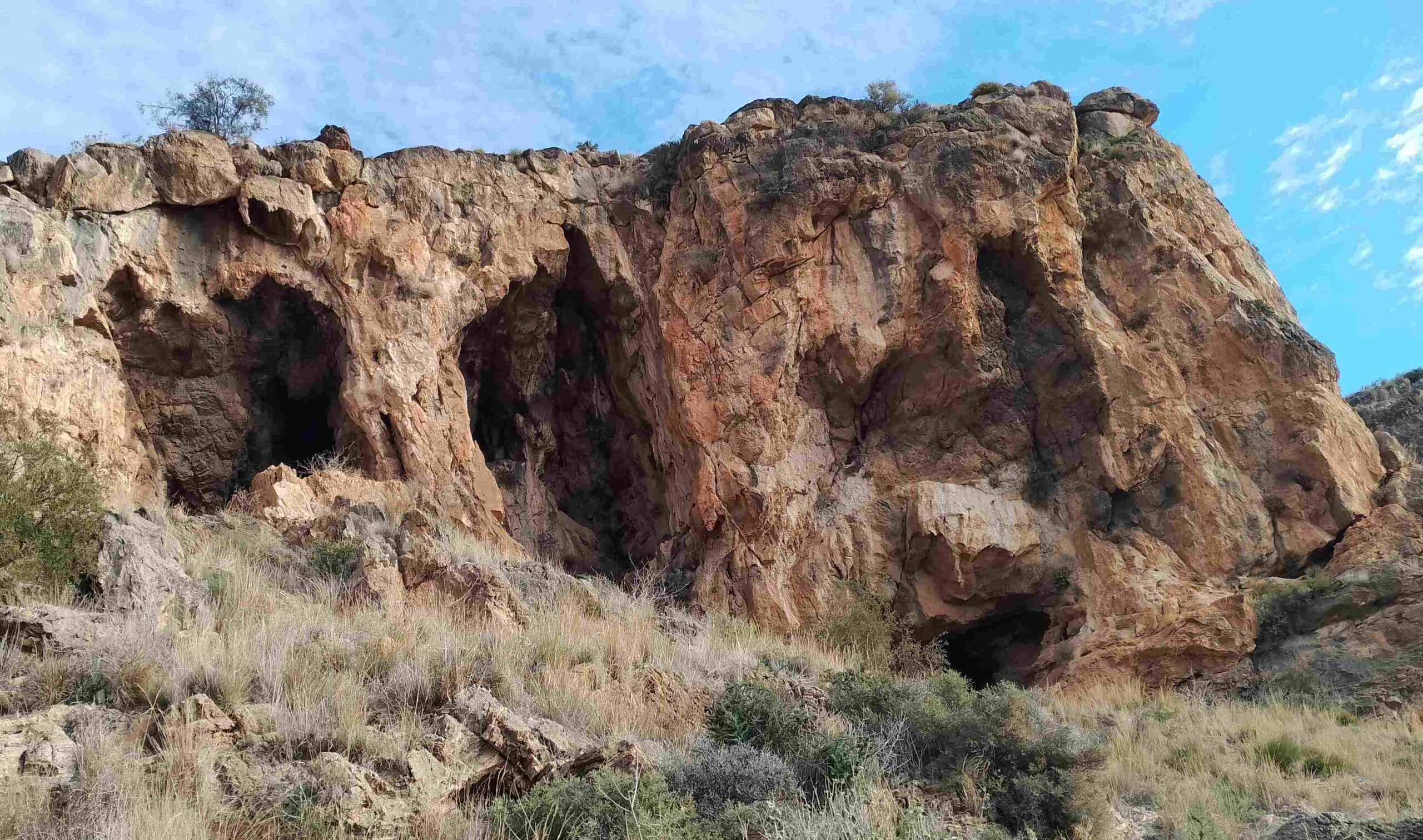
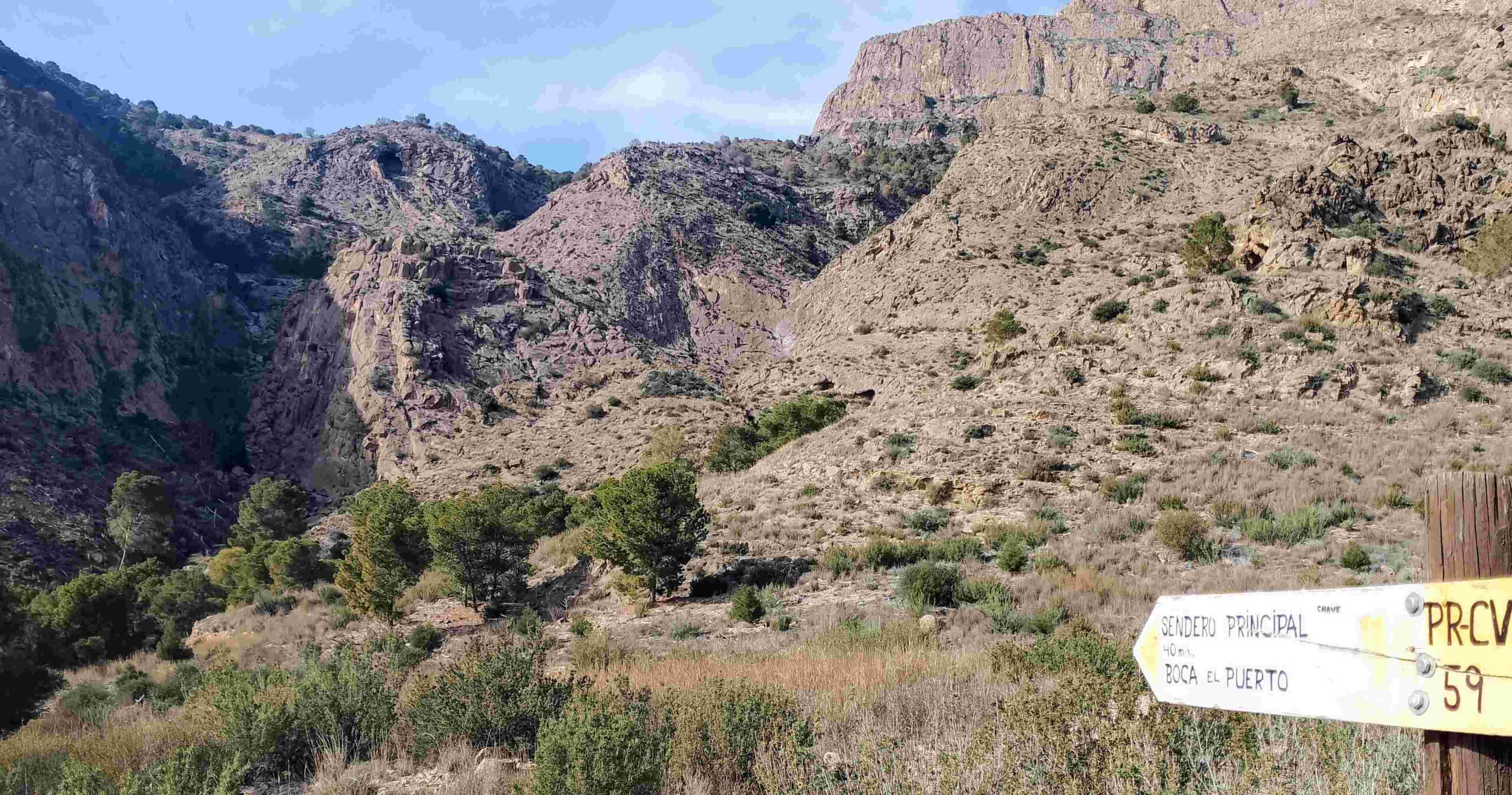
Walk around 50m back along the road from the cemetery gates and turn off right at the stone bench on the corner, noting the sign pointing for El Sanes ravine (barranco) and picking up the white/yellow waymarks. Cross over the shallow gulley. The path follows the water pipe, then bears right to follow a gradual bend to reach the opening of El Sanes ravine. Follow the waymarks round, with good views of the pitted rock faces, then start the climb up the rocky hillside.
After the first section of climbing, the path comes to a fixed metal rope which helps the walker across a very short section. Continuing on, after a short steep ascent where there is another metal rope, bear right to continue the route up the ravine. A few metres further on keep left at a junction; then it’s another left almost straight afterwards, on the lower path.
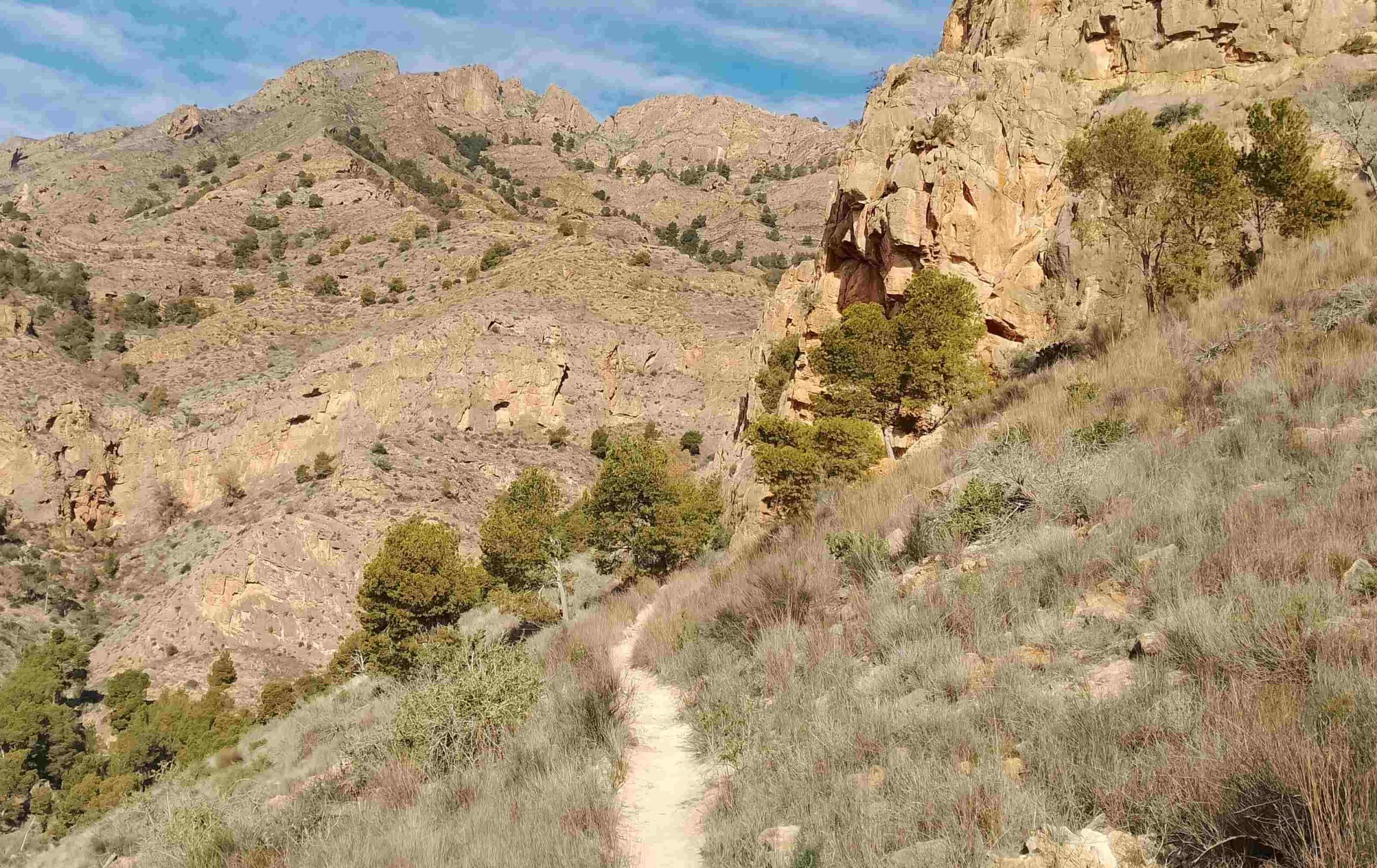
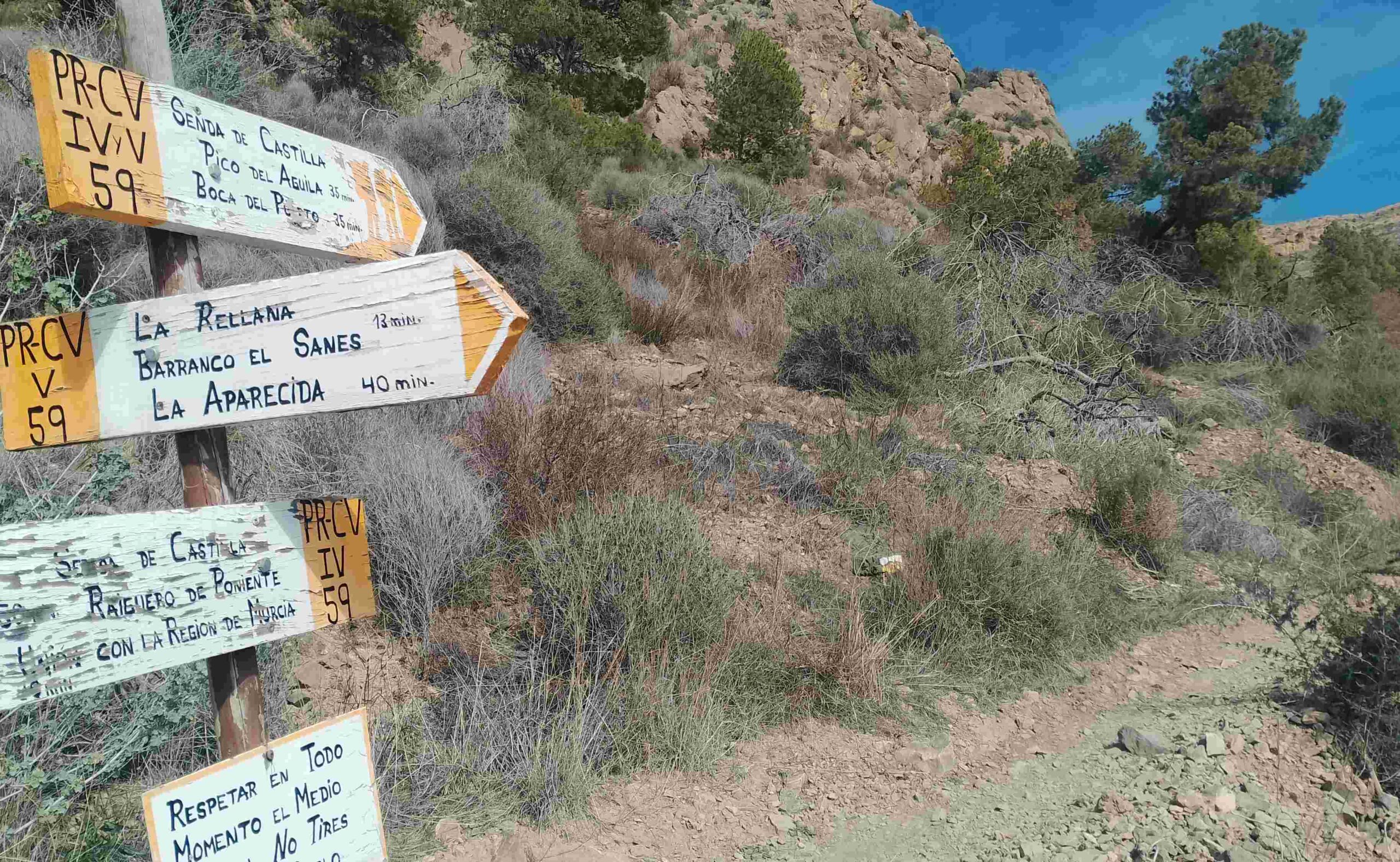
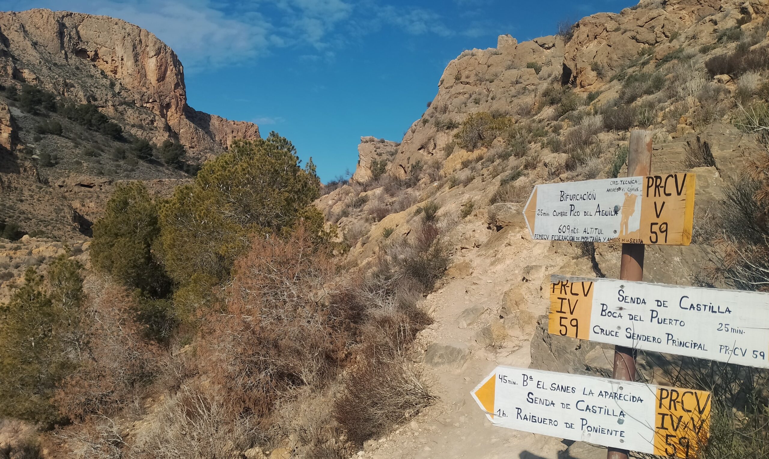
The path emerges at a clearing in some trees, where there is a sign pointing right for Barranco de los Muertos; but our route bears left to continue through the trees (don’t go to los Muertos!). There is a short section in the pines; however, as with many other areas in the south-east of Spain, the trees are suffering badly from the effects of drought and rising temperatures. Sadly, the extreme weather is causing many of the trees to die. After more ascending the path bears to the left and after around 100m emerges at a sign, the first mention of the Pico del Águila on the route. Here we turn right onto a path which gradually climbs out of El Sanes ravine.
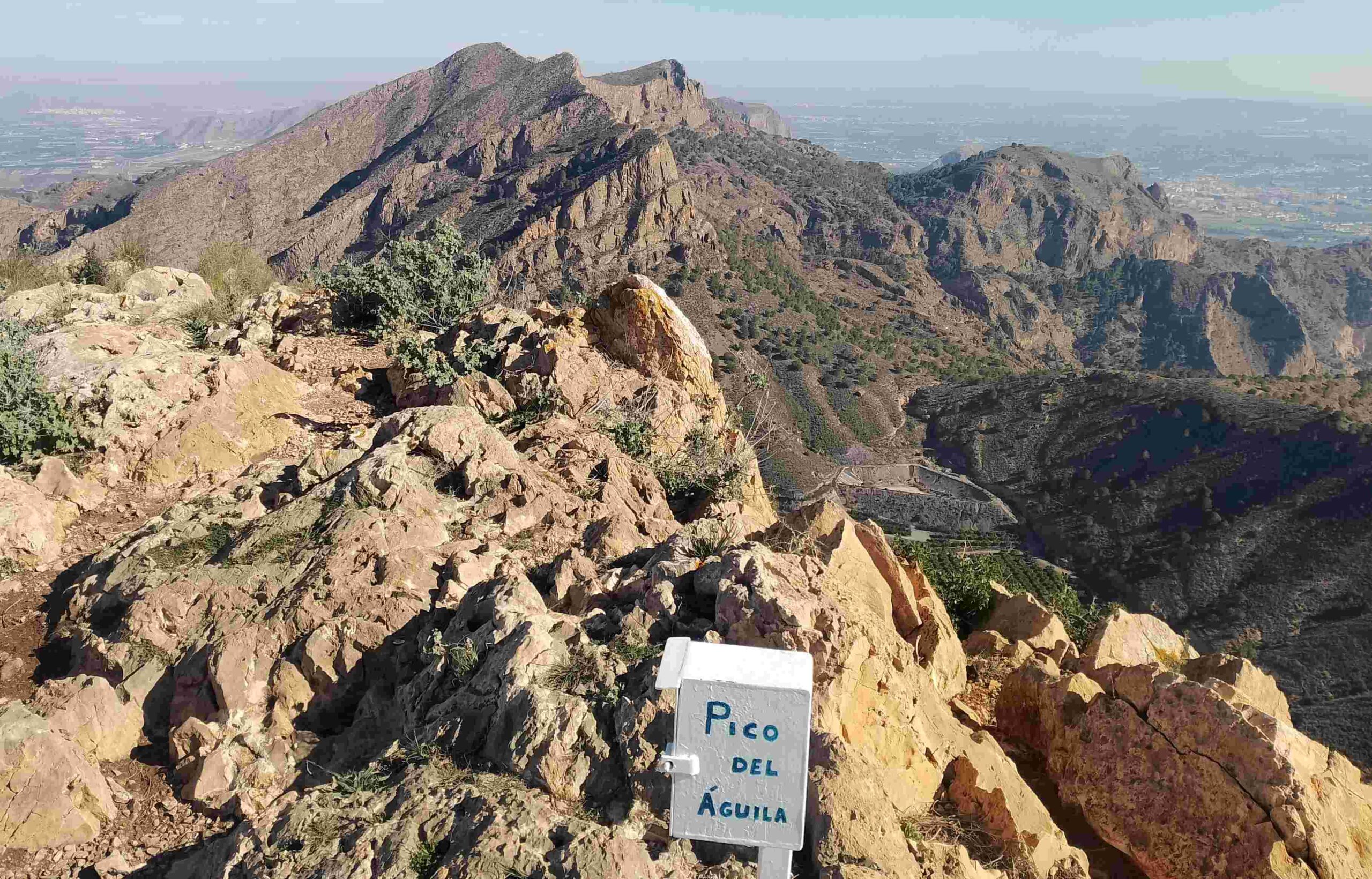
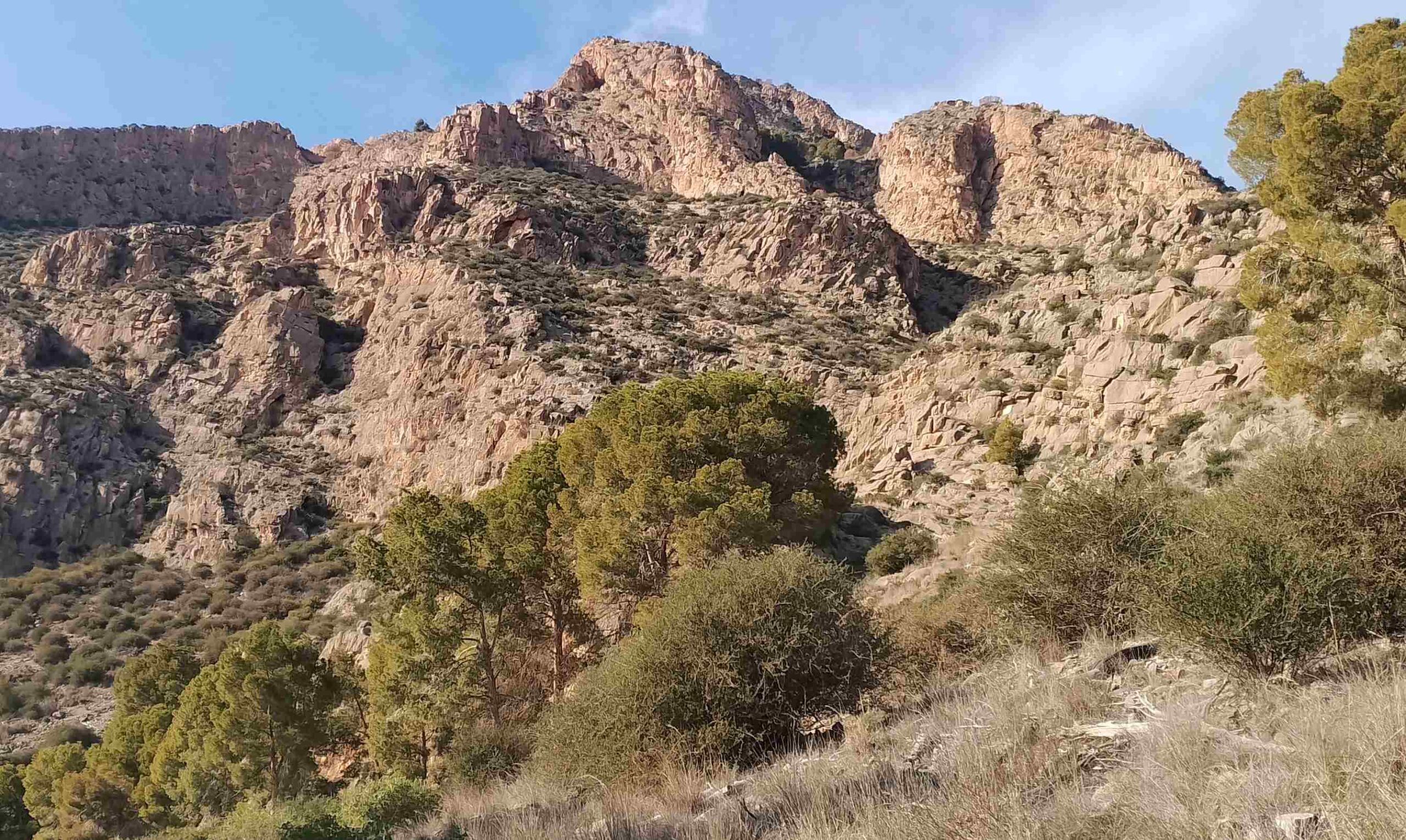
The path emerges at a saddle, where there is a junction and it’s a left turn for the summit, following the sign for the Pico del Águila (return to this spot later for the descent). Head along the ridge, where there are great views over the mountain chain. The path arrives at a short, steep section; there is around 50m of ascent and a little bit of scrambling is necessary. The path bears right before starting the short final run up to the top. Follow the waymarks and avoid the steep drops away to the right. Up top, it’s a great spot for a sandwich and to drink in the views.
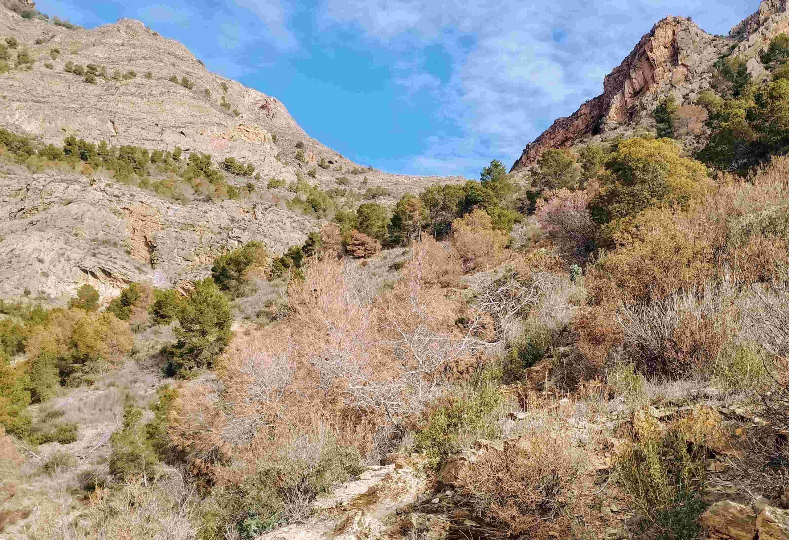
Return to the signposted junction at the saddle, but this time head the other way, making for Boca del Puerto. It is a pleasant and gradual descent to reach a point where there is a great view back and across to the Pico del Águila. Then it’s a right turn at the sign to head for Raiguero de Levante. The footpath descends a ravine, but this one is not named on the map. It is not overly steep, but care has to be taken; there is a fixed chain at one point to help out. Towards the bottom in a secondary section of the ravine, the path bears left for a short climb, then bears to the right to emerge in a wide open area. There is another sign here; we bear right to head towards Raiguero de Levante.
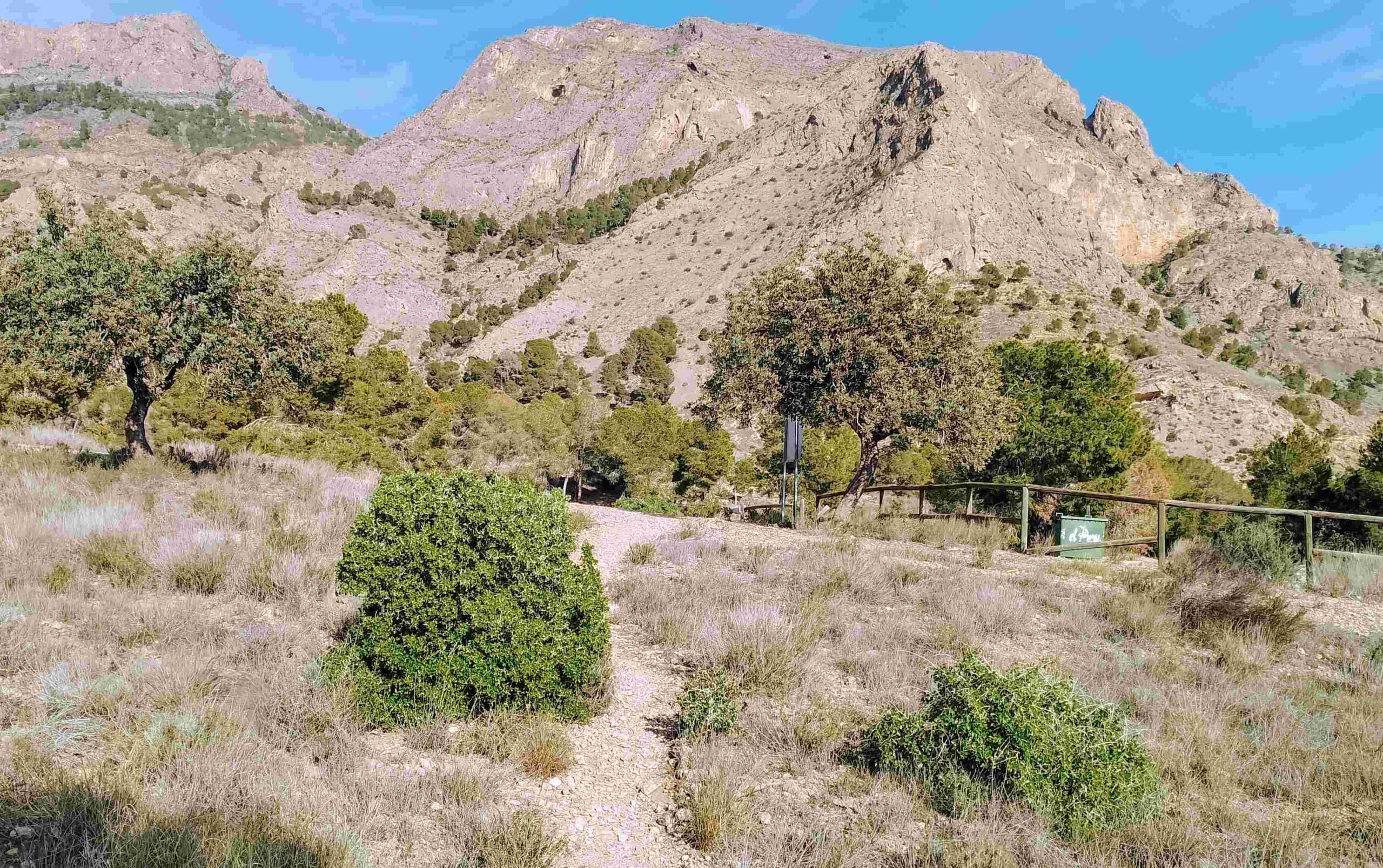
It’s a wide track which descends gently, passing through some pine trees and emerging at a parking area. Don’t turn left down to the main road; turn off on the right to follow a path, heading towards the fence. Pass to the right of the fence and see the water pipe. Follow it through the trees. It leads back to the cemetery. The path passes to the right of the cemetery, and turns down left to reach the start point.
Walk facts
Length – 8km; time – three to five hours; ascent – 650 metres; difficulty – medium; season – spring/autumn/winter; getting to the walk – take the N-340 from Orihuela towards Murcia. Turn off for La Apericida. Just before entering the village proper turn right (notice a PR-CV walk sign at this turning). Head up to the cemetery and park outside the gates


Recent Comments