Some walkers will have had a marathon trek on day 2 and will be nursing tired legs.
For those who are suffering, the good news is that this stage from Ponteceso to Laxe has an inland section which can be avoided.
The full day’s walking, which includes a diversion to an ancient fortified village and the ascent of the Monte Castelo (312 metres), is 25.3km.
However, 10.5km of that can be shaved off, along with a good deal of ascent, if walkers are feeling the pace. Something to bear in mind.
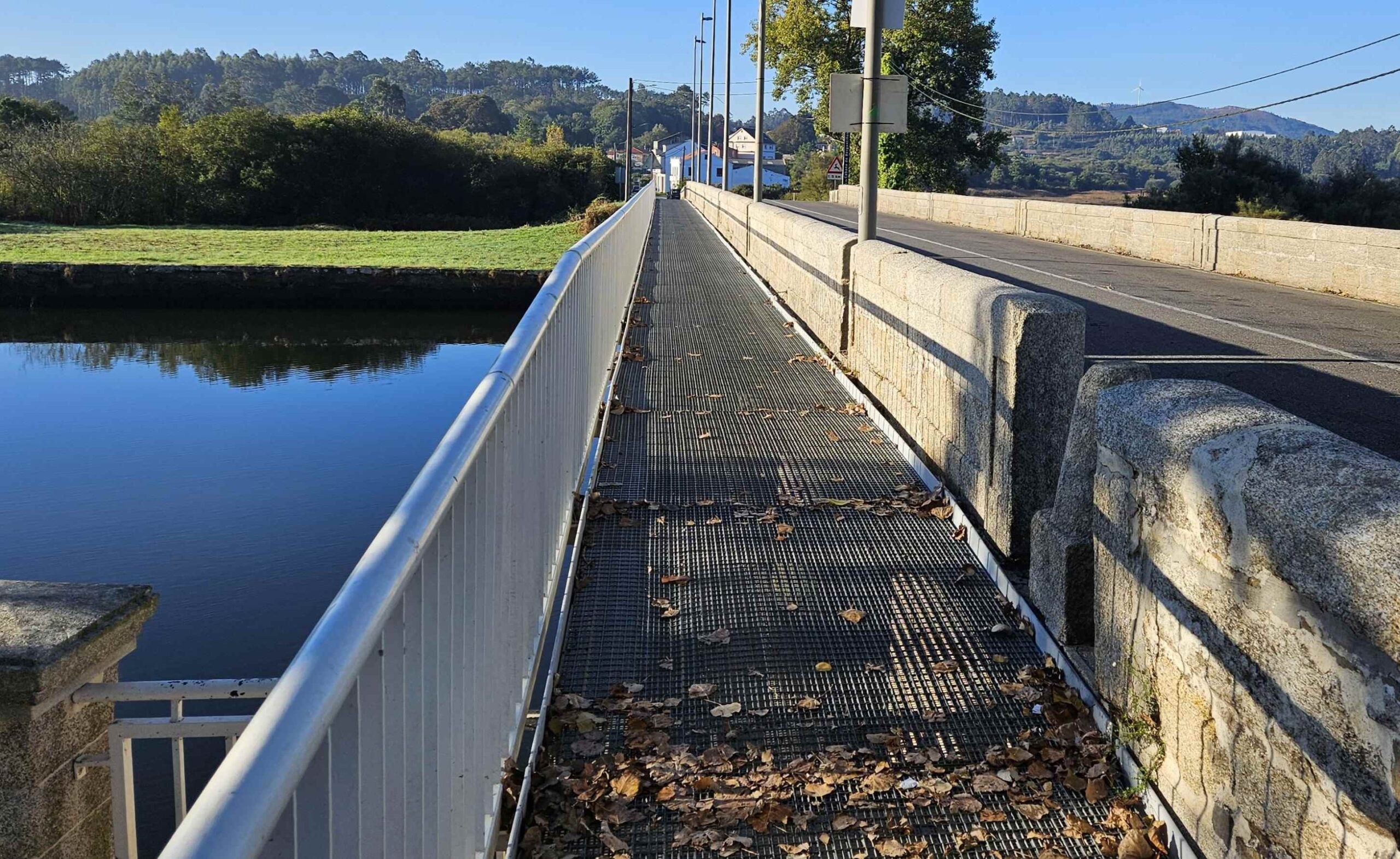
It’s a gentle start to the day, with this stage setting out from the Ponteceso bridge, which is crossed on the walkway next to the road.
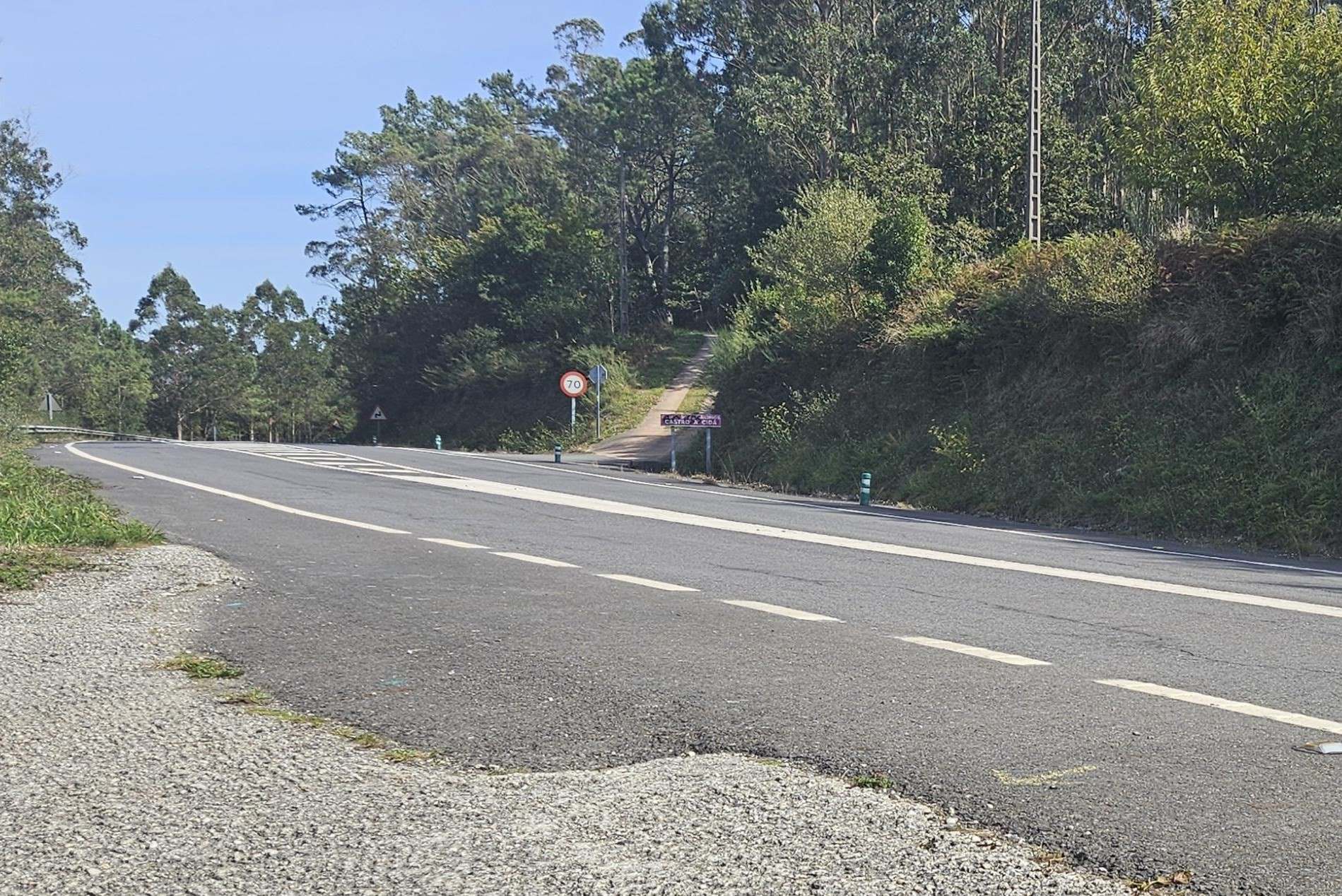
The route goes up the hard shoulder for approximately 1km on the left-hand side of the AC-429 road (which goes to Laxe).
On arriving at the Apligasa building, cross the road (following the green arrows) and take a right turn along the lane which runs from the road, passing the gardens of the houses.
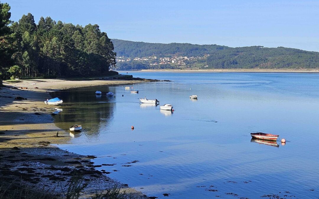
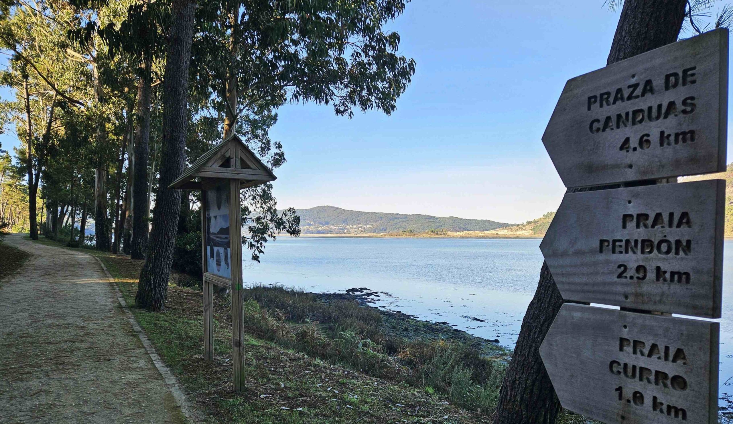
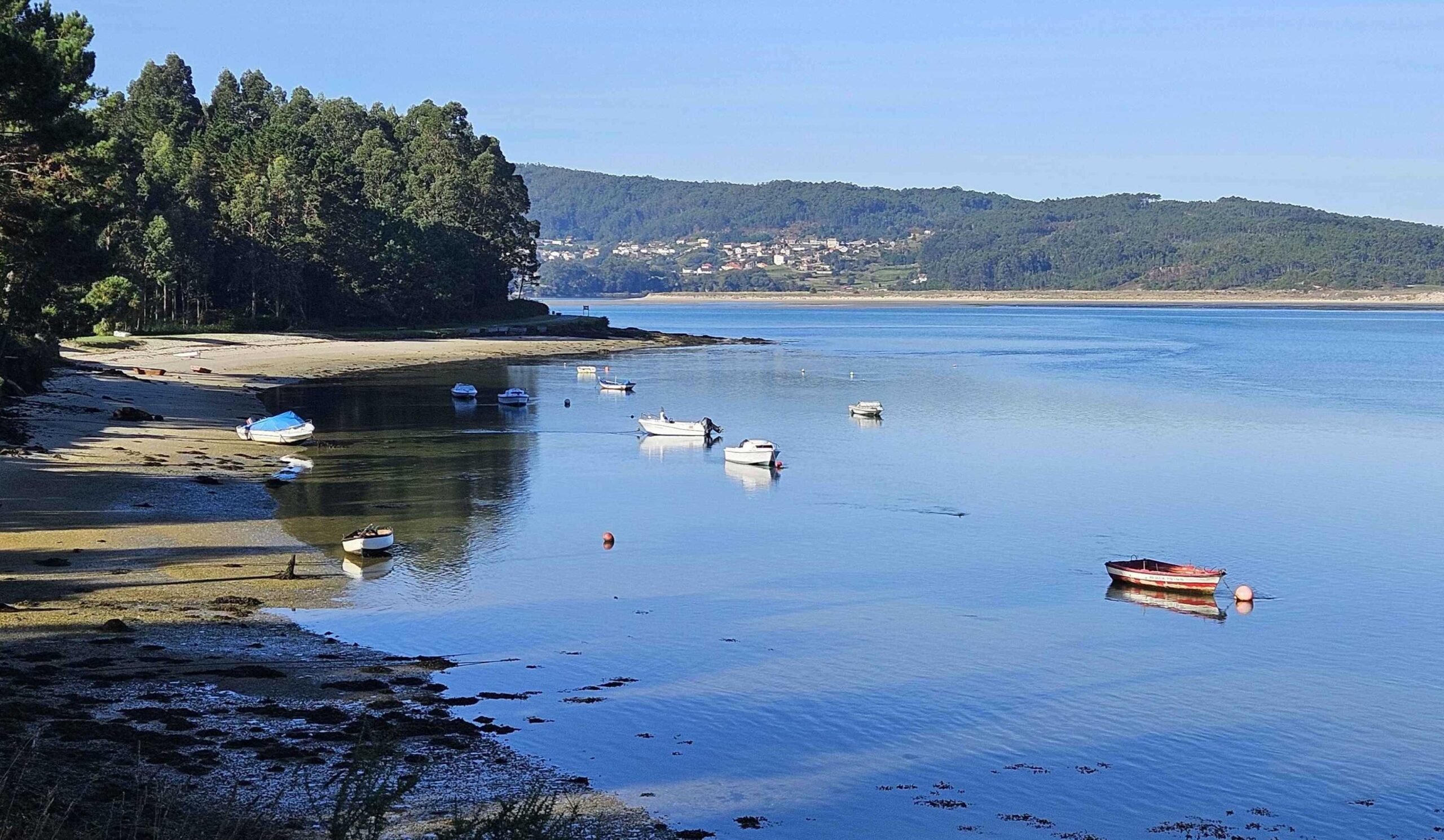
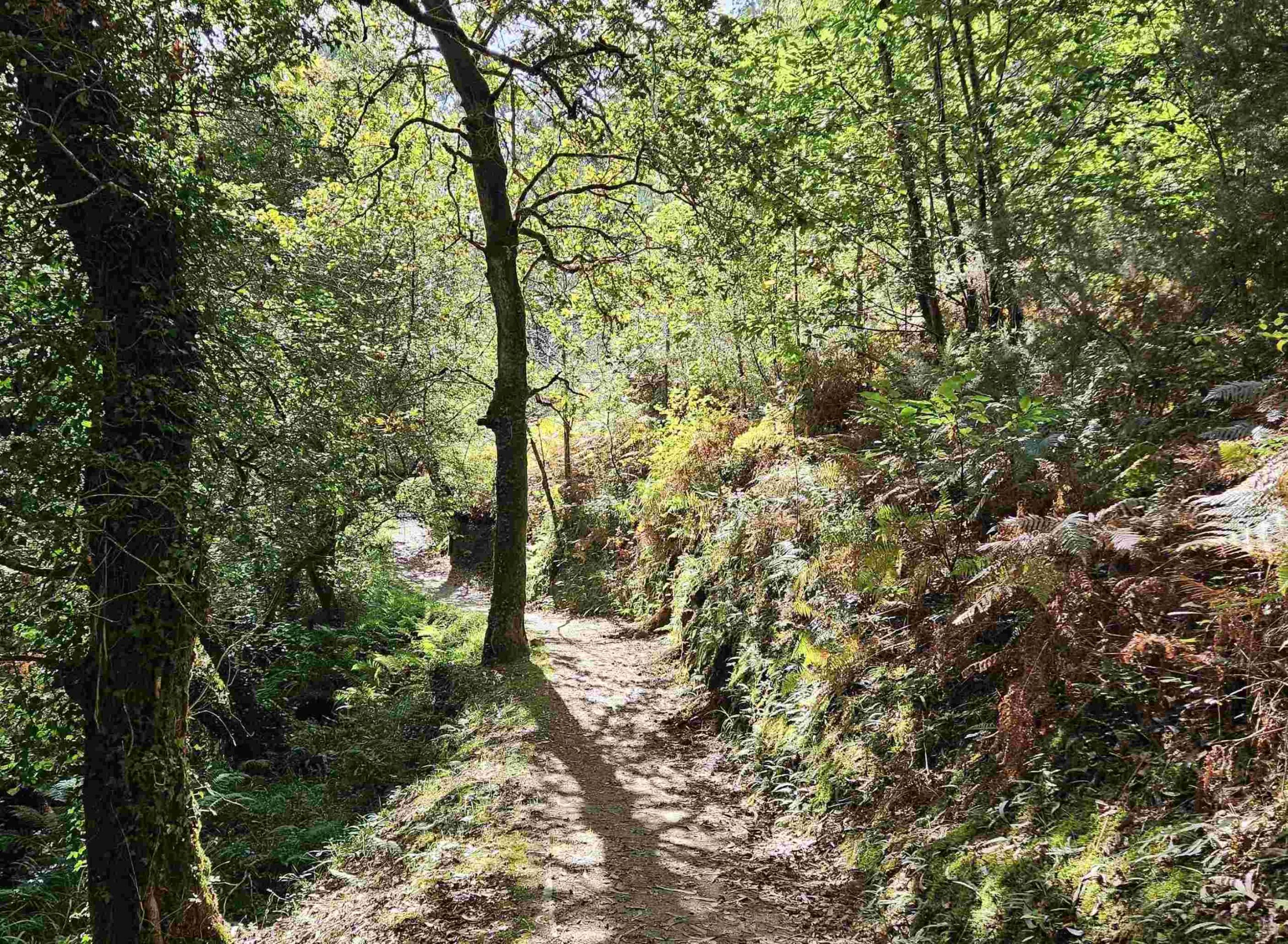
The lane turns into a path which goes through the woods to reach the Anllóns estuary. Follow the wide track along the shore; it reaches a fork, where we bear right, following the sign for Praza de Canduas, which is 4.6km distant.
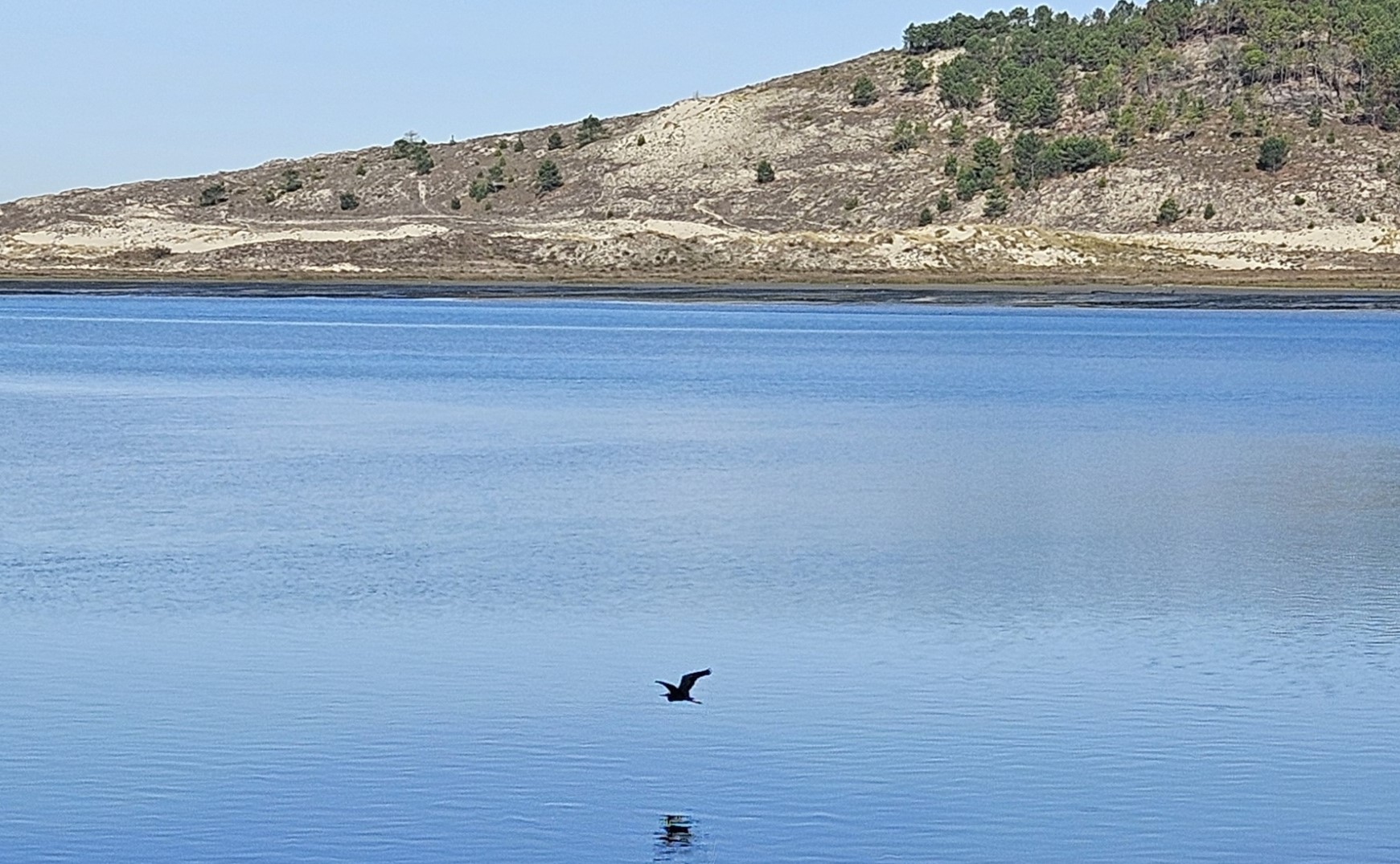
The track runs along the shore of the estuary, which is home to wading birds including grey herons.
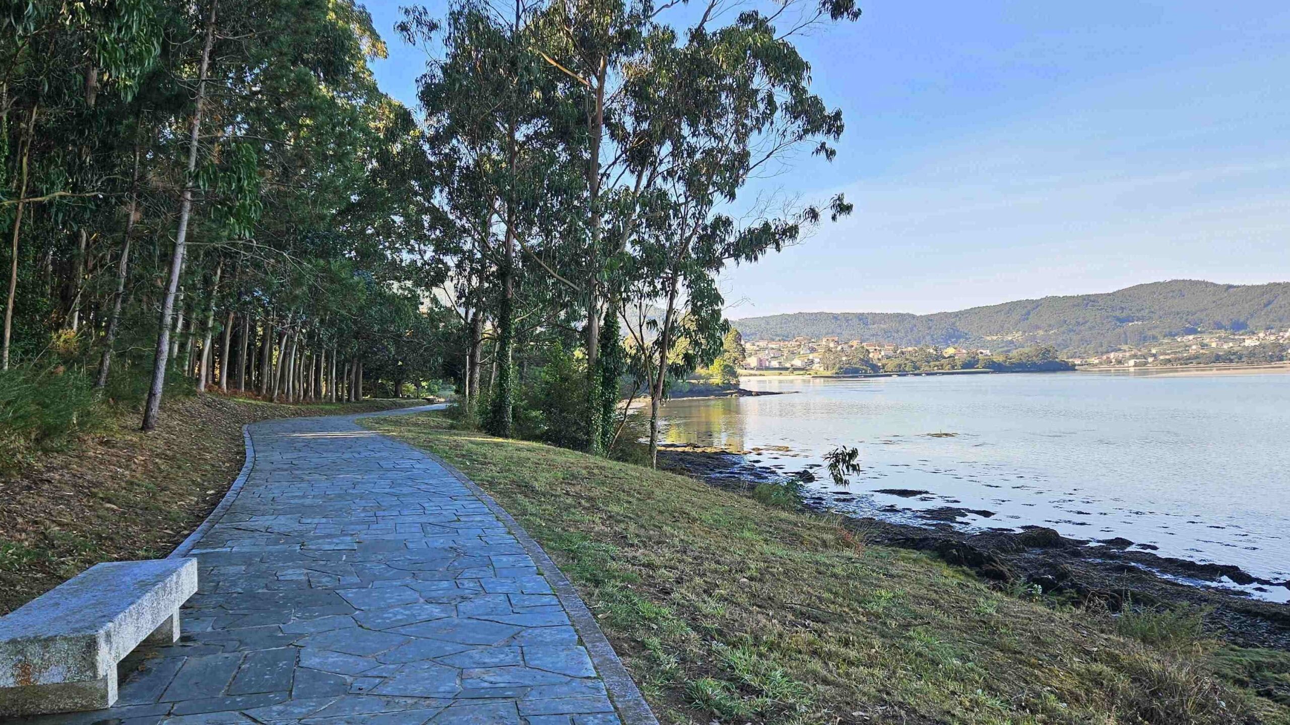
It turns into a paved walkway, with views across to the area of dunes which was crossed the previous day.
It is 6.6km from the Ponteceso bridge to reach As Grelas at the end of the estuary.
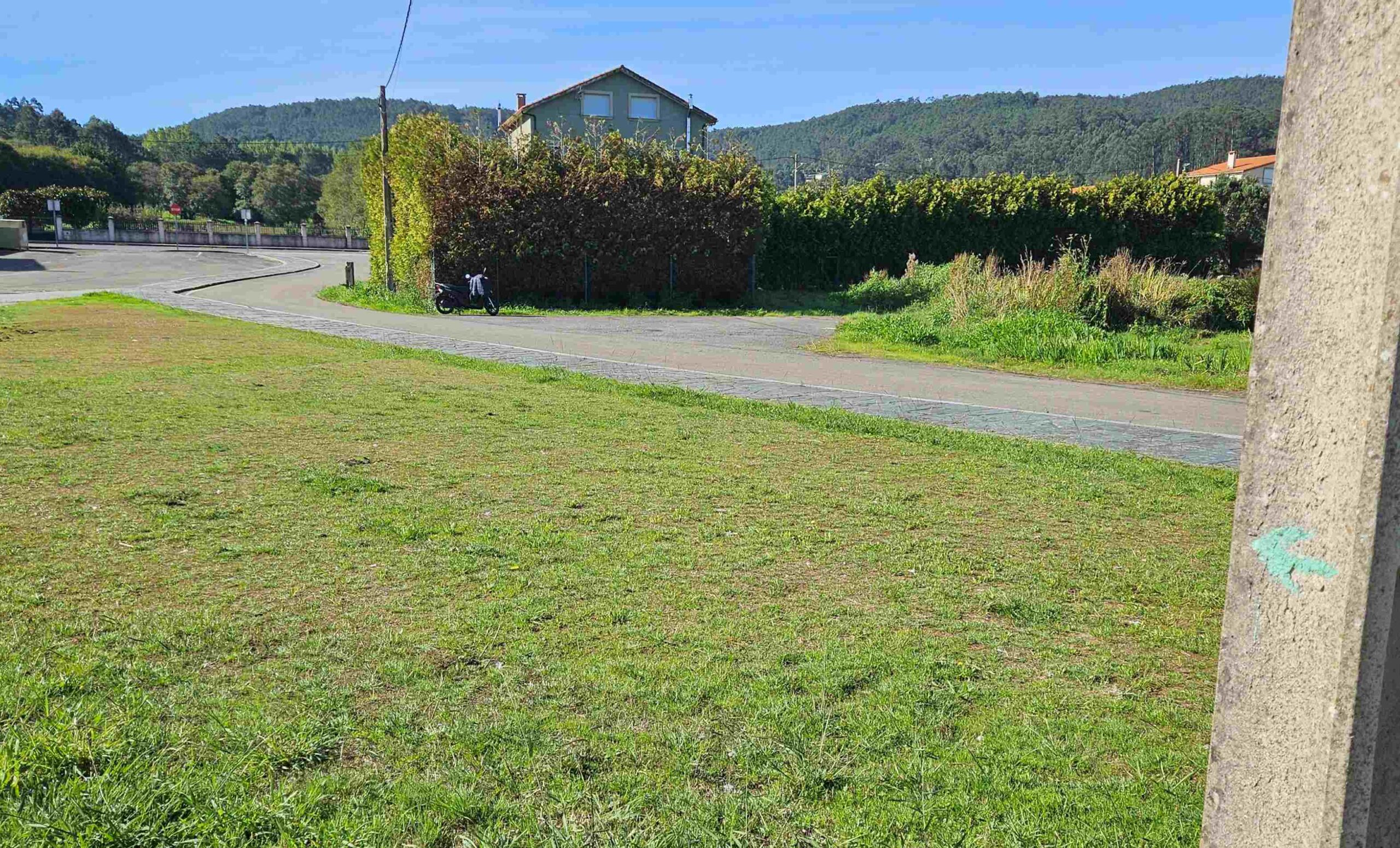
At As Grelas, notice the green arrow pointing away from the paved walkway; turn left here to walk around 20 metres to the AC-429 road. See the As Grelas supermarket on the right.
The route which goes inland crosses the road to start the Ruta do Rego dos Muíños.
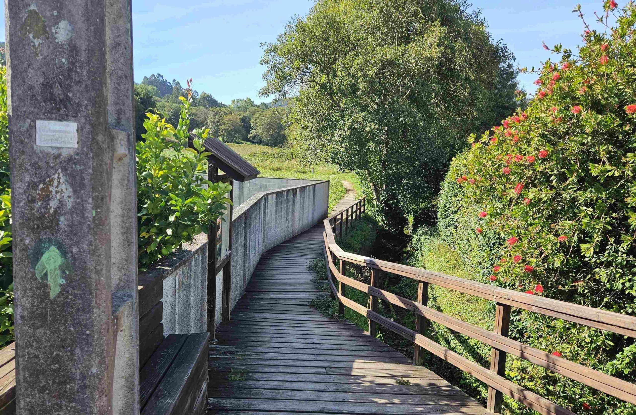
‘Muíños’ is the Galician word for mill (molino in Spanish). Information boards very close to the starting point of this 3.5km route explain that the path passes 24 small mills which worked off the water of the stream that the path follows.
This inland route is a boardwalk at first and then a path along the stream.
Those walkers who are skipping this section don’t have to cross the road; they bear right to walk past the small supermarket and up the Laxe road for around 1km to Taboído, where there is a minor crossroads; here they bear right to get back on the Camiño dos Faros, heading towards the sea.
Inland walkers follow the path along the stream. It turns into a track and soon the mills begin to appear. It is very pleasant, shady walking through the trees with a gentle ascent.
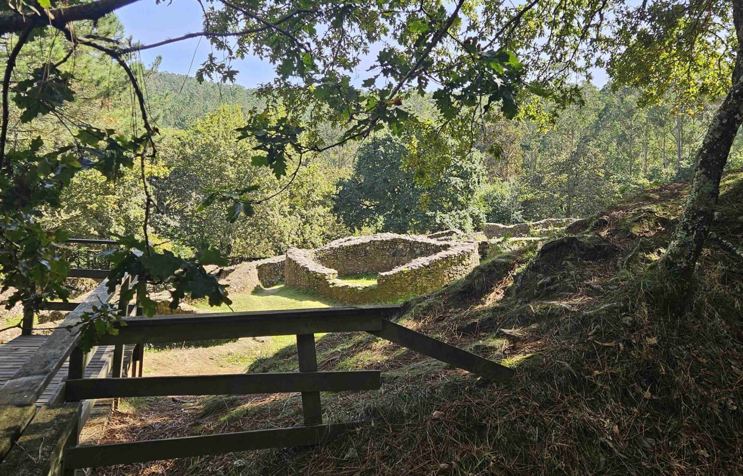
The track comes to a fork; bear right to continue ascending. The mill route emerges at a spot just below a road. The Camiño dos Faros returns to this spot after a short diversion to see the ancient settlement of Borneiro.
Turn left to go up the ramp and cross the road to the sign for the castro (a ‘castro’ is an Iron Age fortified settlement).
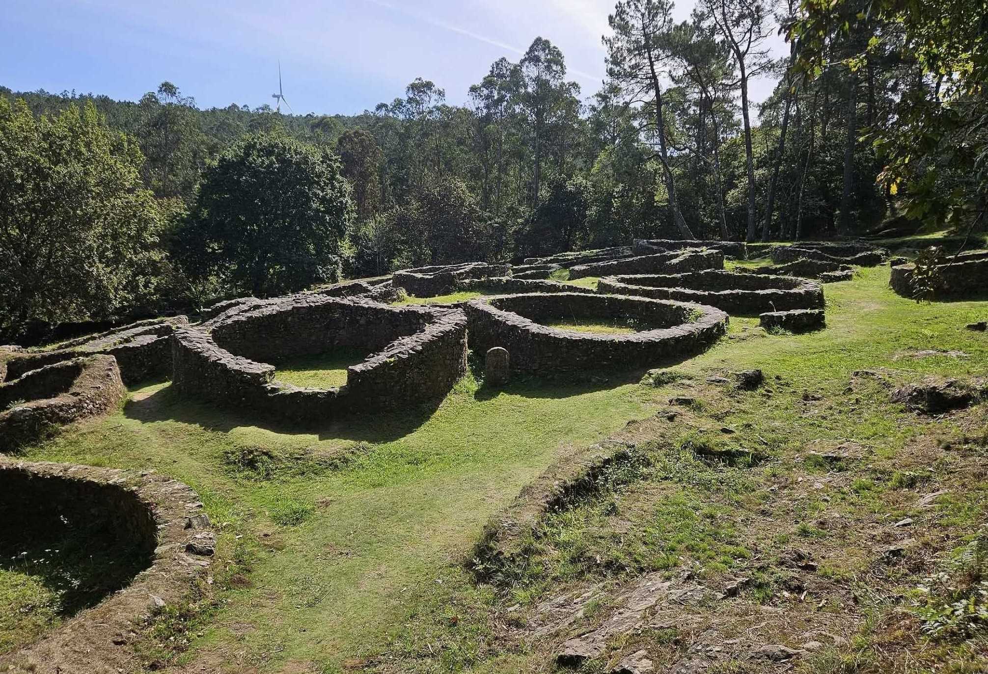
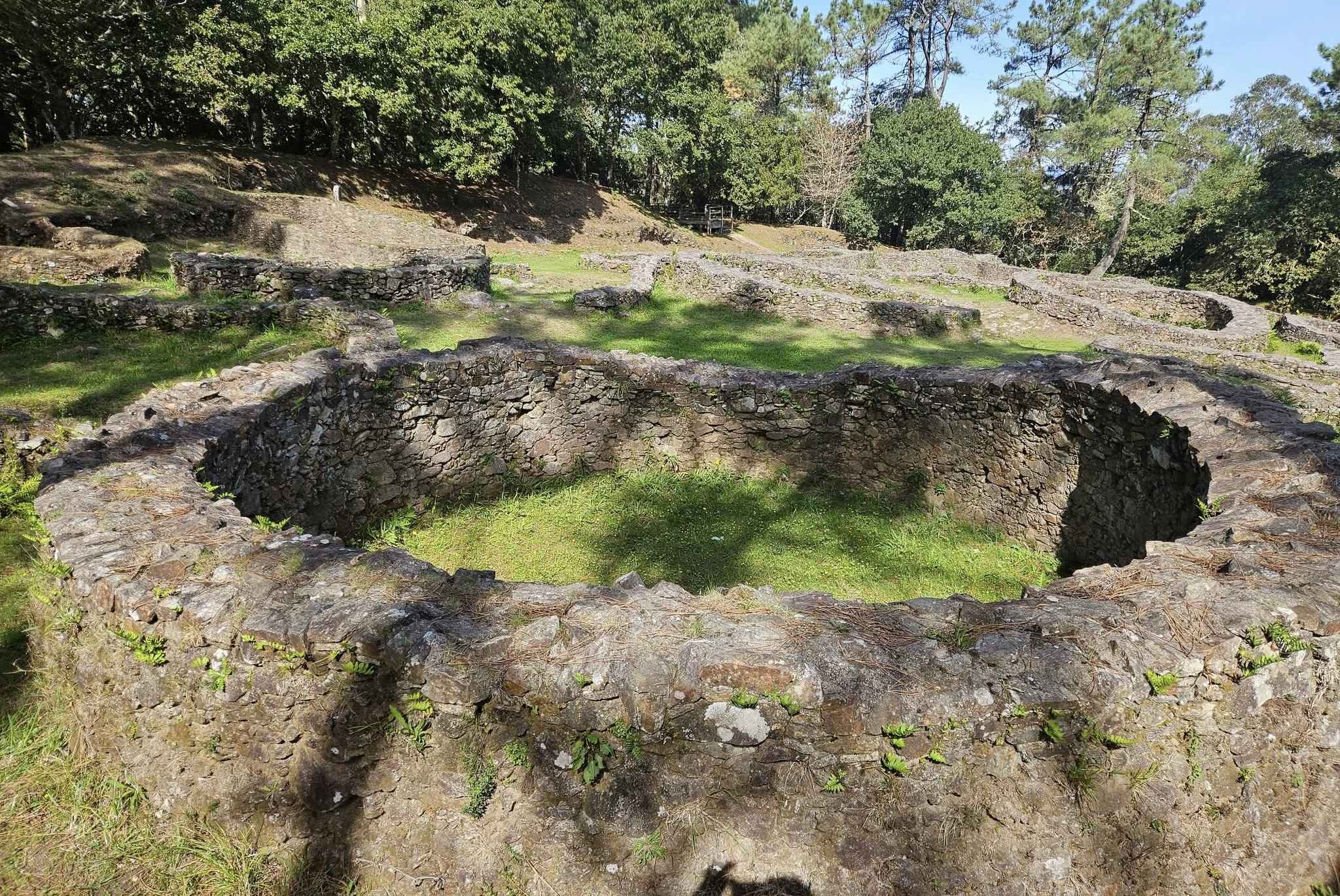
Follow the track up the slope and walk through the woods to reach the boardwalk which leads into the Borneiro hill fort.
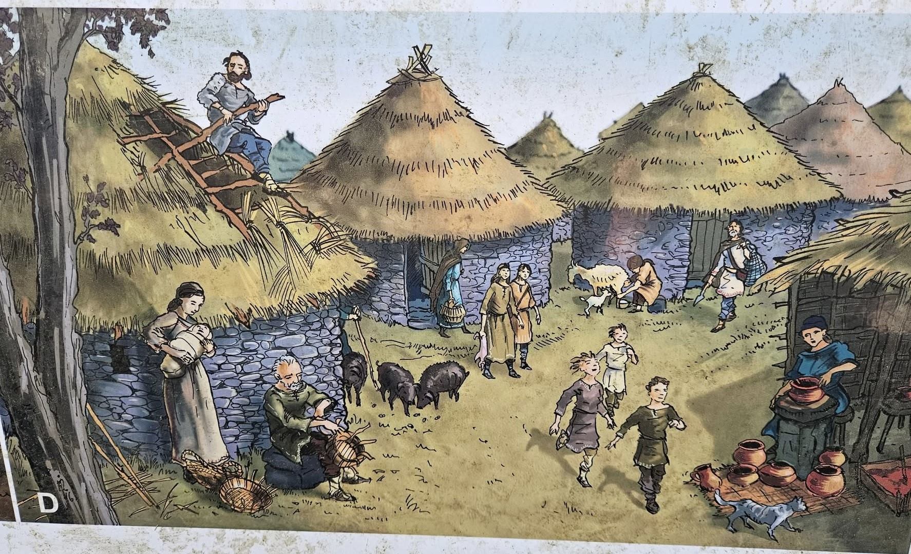
It’s a tremendously interesting place and the information boards explain in Spanish and English how around 300 to 400 people lived in the village from the 4th century BC for around 500 years.
They explain the defence system of walls and moats; and how families of around four to six people inhabited the round houses which had thatched roofs and a fireplace inside at the centre of the dwelling.
The castro is a good place for a sit-down on the grass under a leafy tree for a snack and some quiet contemplation.
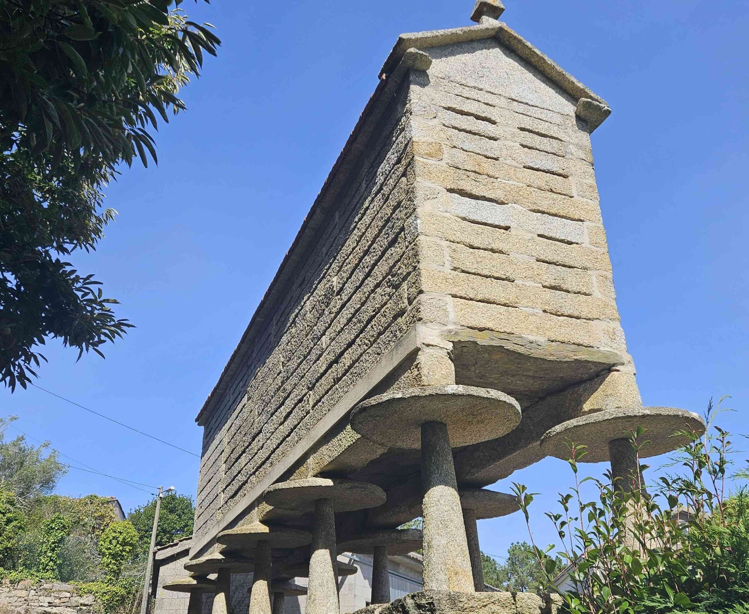
Return to the ‘spot’ left earlier; this time bear right to continue the journey. The route bears round to the right to head to the village of Vilaseco, passing the ‘hórreos’ (granaries) where the harvests are stored.
Keep a eye out for the green dots and arrows; passing through the village the route takes a grassy track towards the trees.
It’s a short distance to reach the road and a right turn to the Dombate dolmen. The walk organisers recommend a visit; however, the site may be closed, as it was when I went past.
Part 2 follows
Recent Comments