After leaving the summit of Monte Pedrouzo I opted not to follow the descent to Moreira beach, which is the route of the Camiño dos Faros.
It was a spur-of-the-moment decision and, in hindsight, it probably wasn’t the right one.
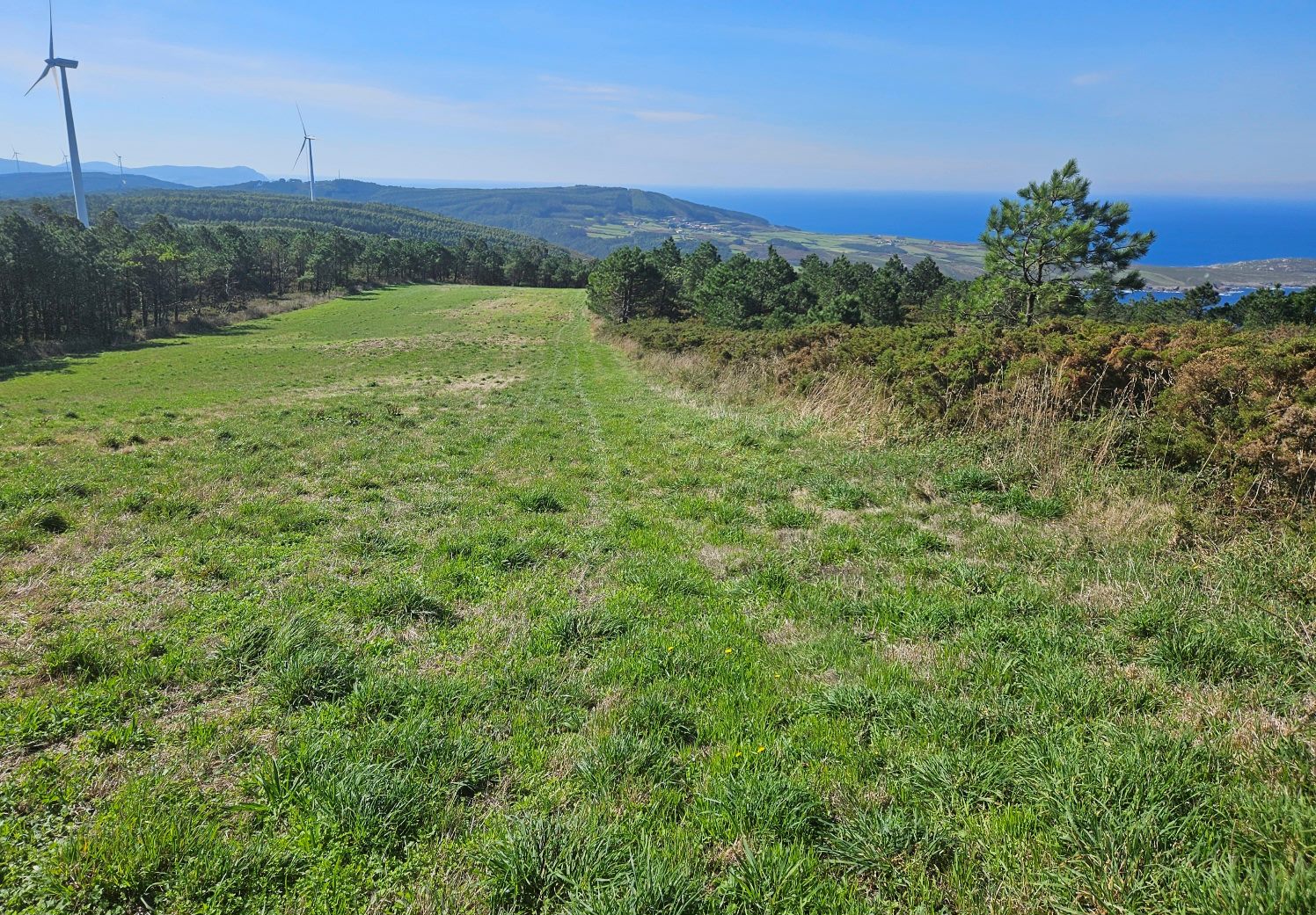
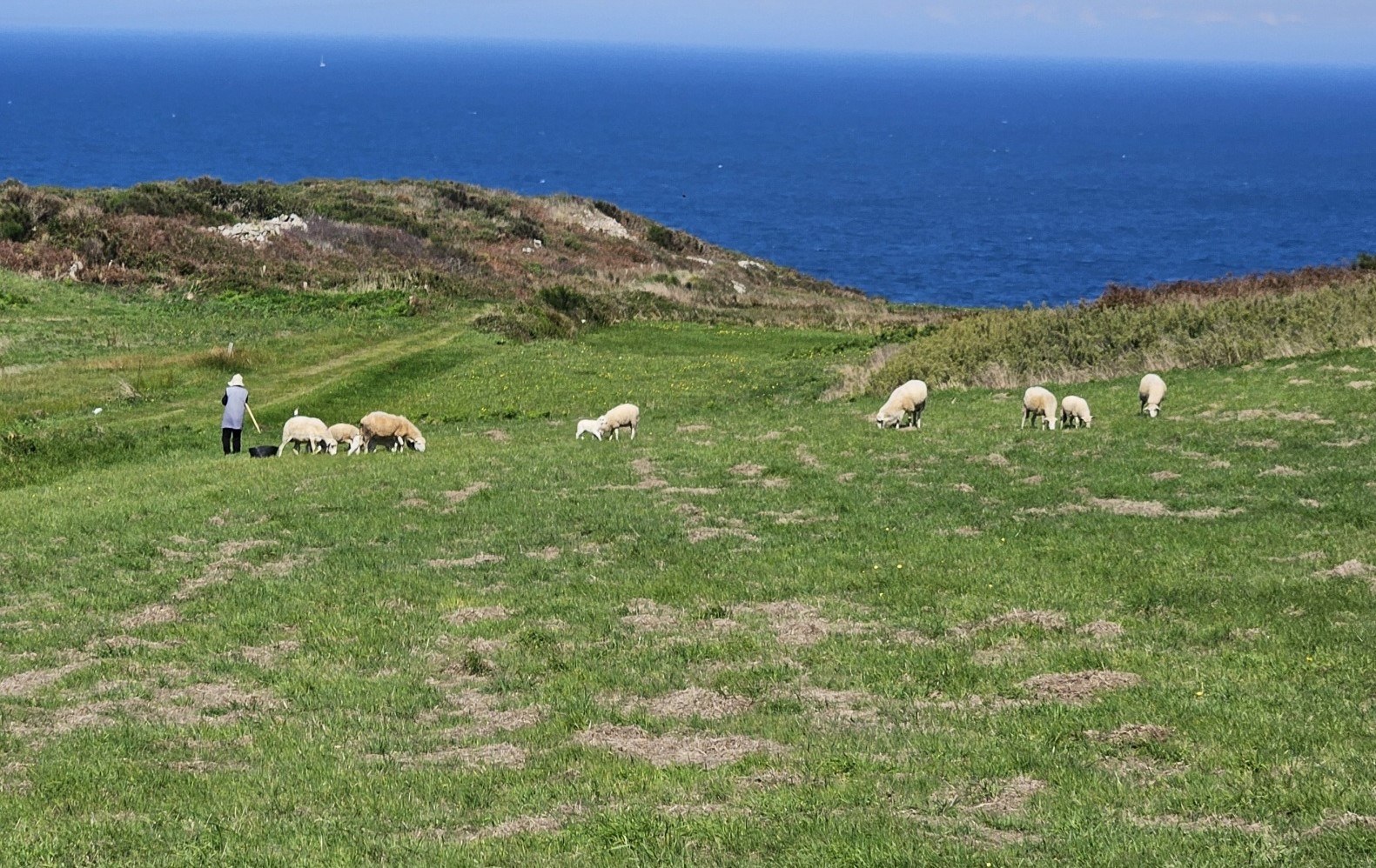
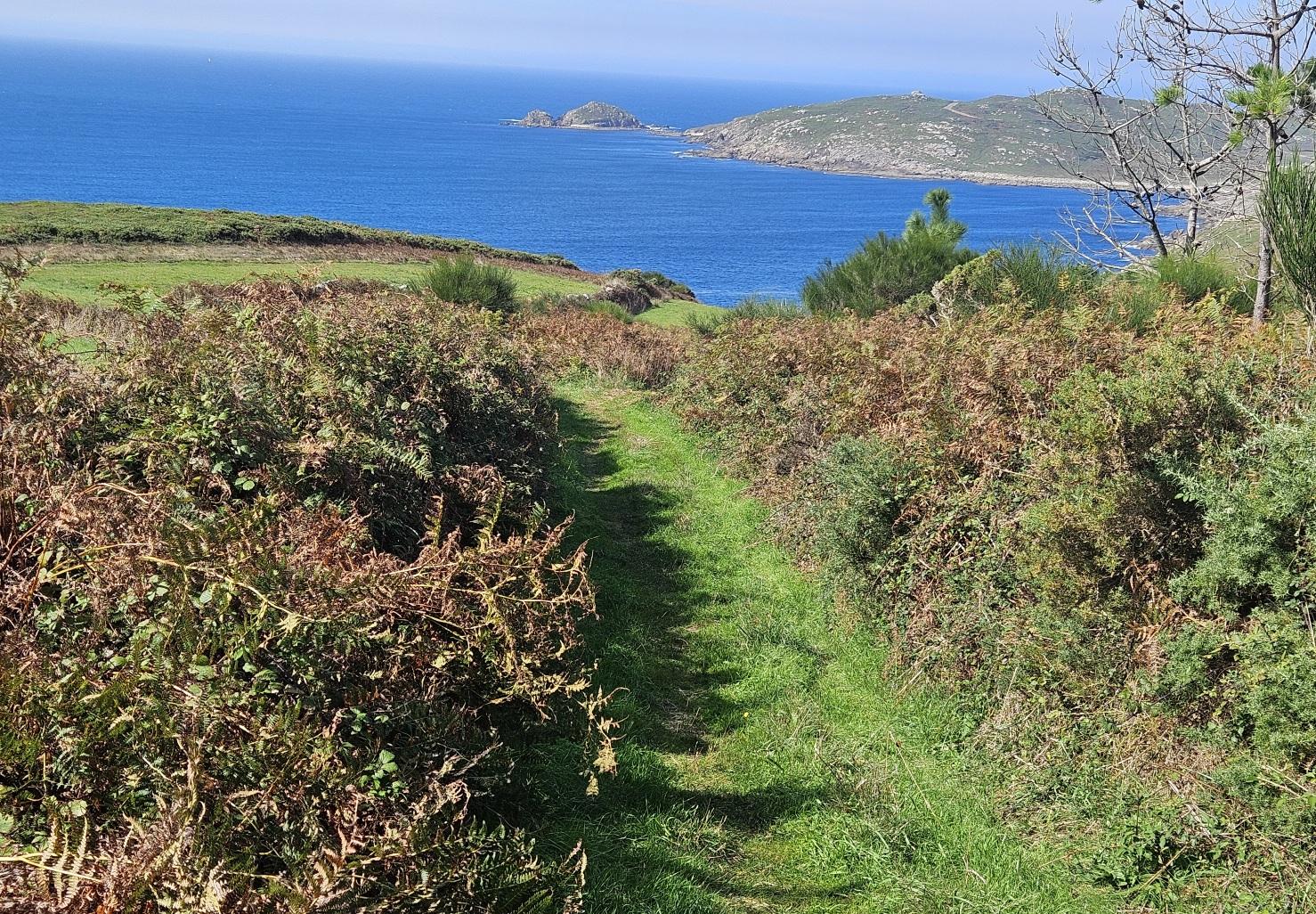
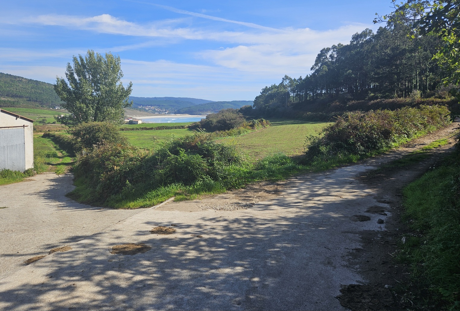
I was seduced by a field of lush green grass and the track leading across it which descended to pass through shady trees.
The route on the Camiño appeared to be another path through sharp, shin-scraping scrub, which had tormented my legs on previous days.
But my route was a longer one, adding several kilometres to the day’s hike.
On entering the field (see photo), the Camiño bears right to go down to the beach and climbs up the other side to reach the single-track road which goes out to the Touriñán cape (cabo) and lighthouse.
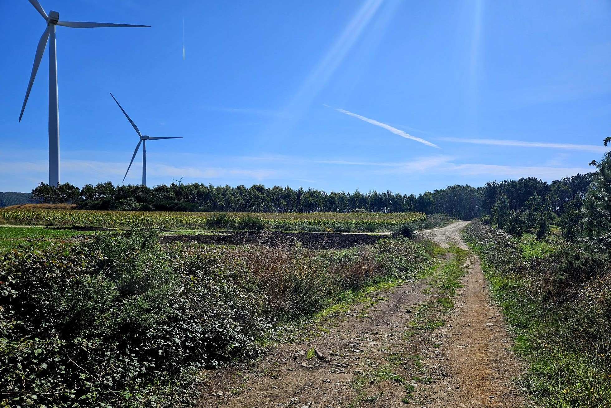
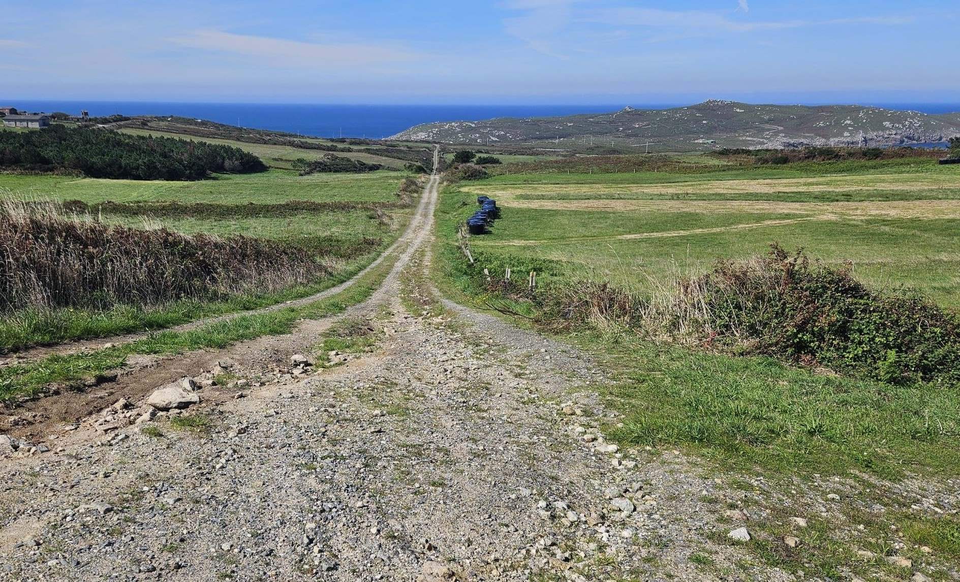
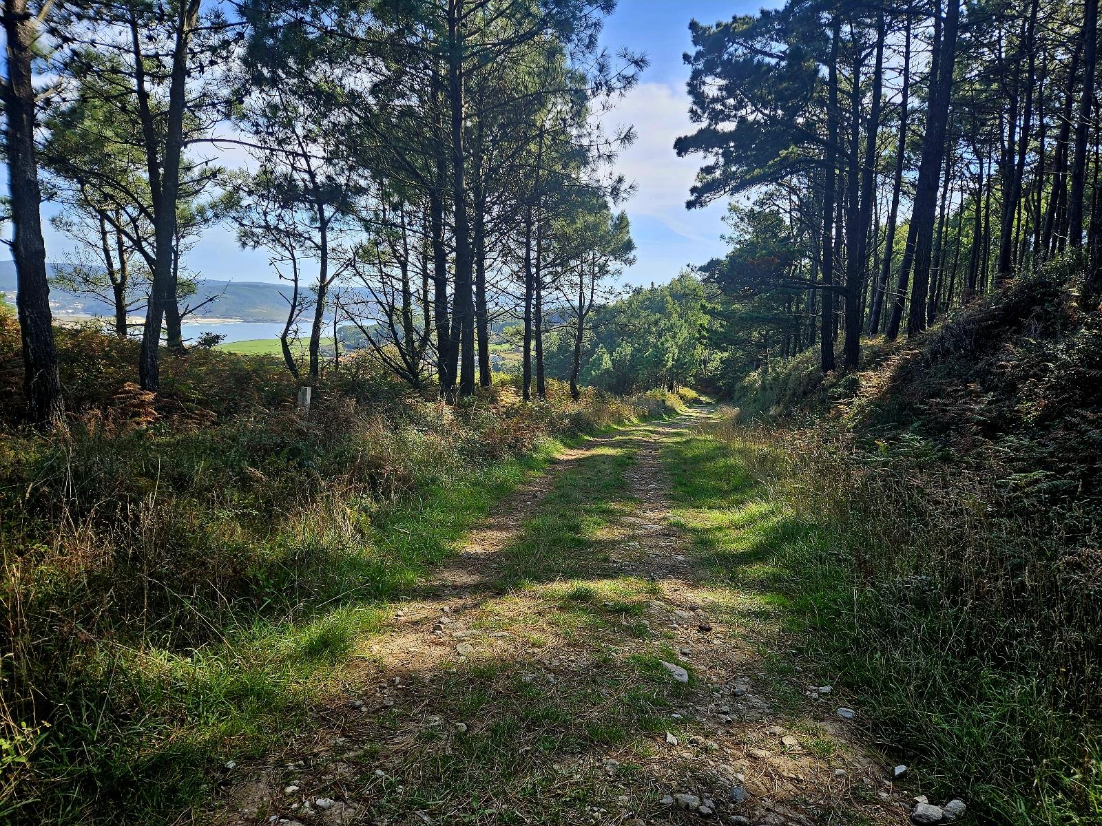
My route went down through the trees and then left on a track, passing the wind turbines and then onto a road (and yes, back on the DP-5201 again) to skirt the village of Viseo, then bearing right to pass the village of Touriñán and take the road towards the cape.
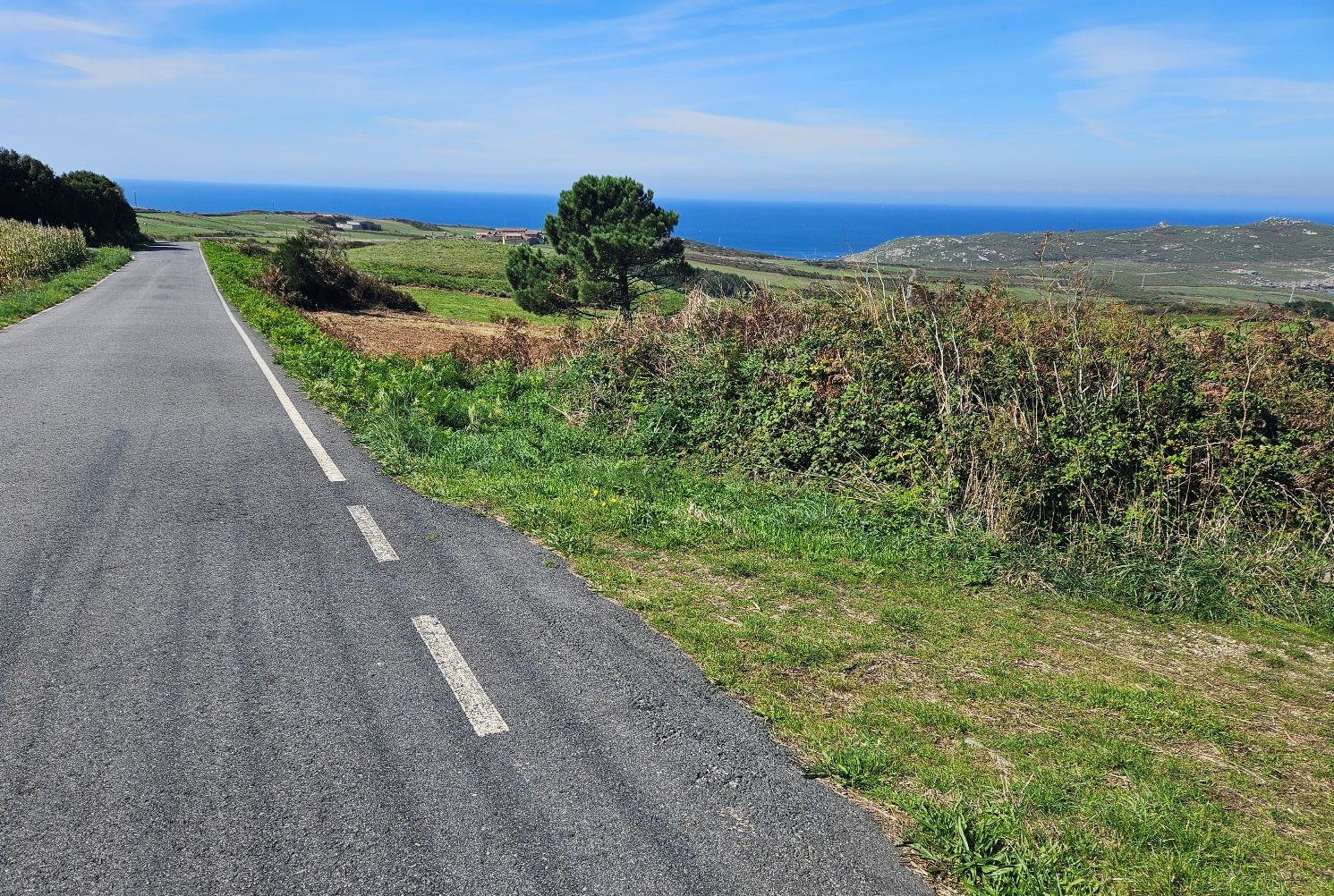
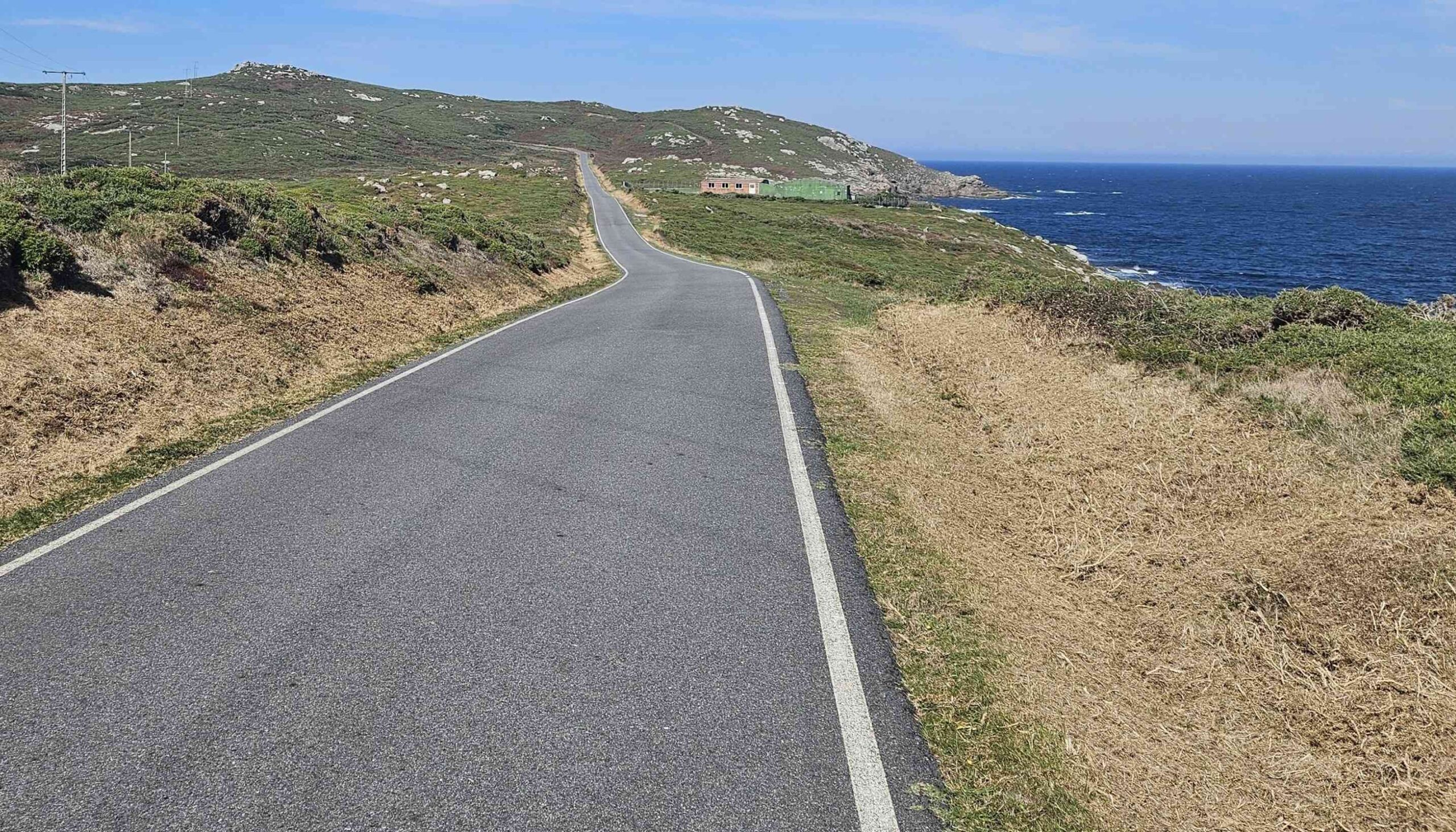
After Touriñán, a track can be followed to cut off a section of road; then it’s back onto the Camiño, which follows the road out towards land’s end, the most westerly point in Spain.
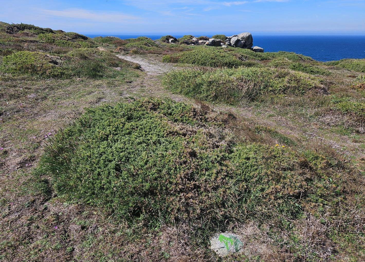
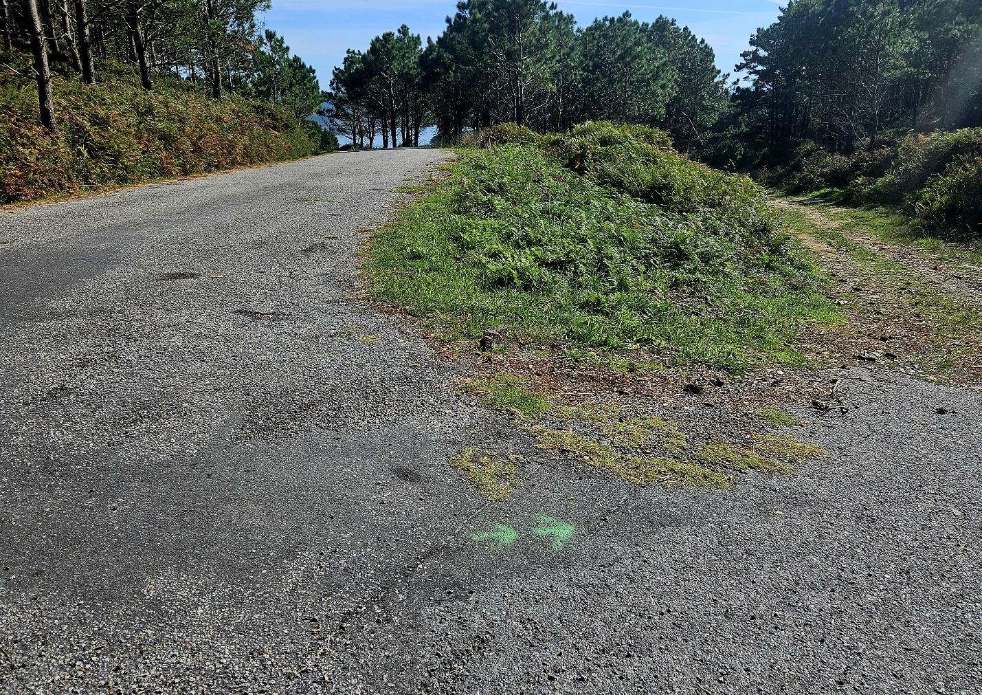
At a sharp bend in this road, notice the green arrow which points off the tarmac and onto a wide track which crosses the grassy headland.
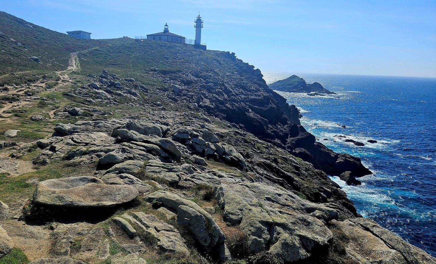
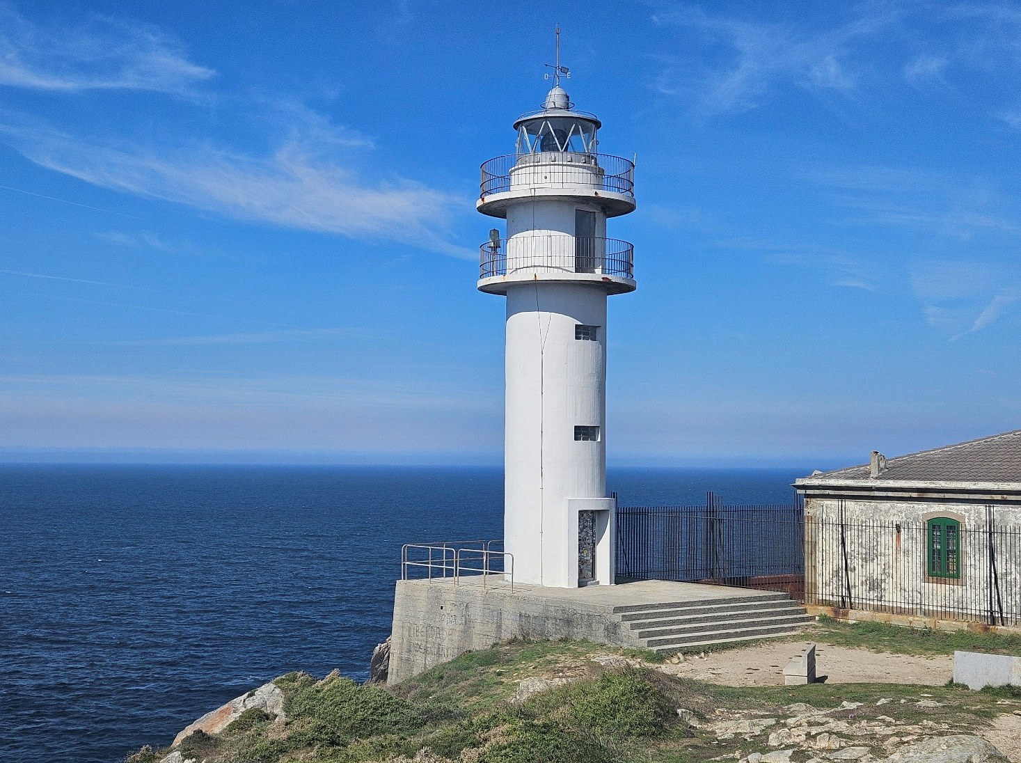
Follow the track to the rocky shore, where it bears left to head up to the lighthouse and the cape.
This is a landmark spot, and you will probably want to spend some time gazing out to sea and along the coast; maybe having a Tony Blair moment and ‘feeling the hand of history on your shoulder’, or perhaps just some quiet contemplation, while admiring the dramatic scenery.
There is plenty of shade to be had around the lighthouse area; good spots to take on sustenance and gird the loins for the final part of the day’s walk.
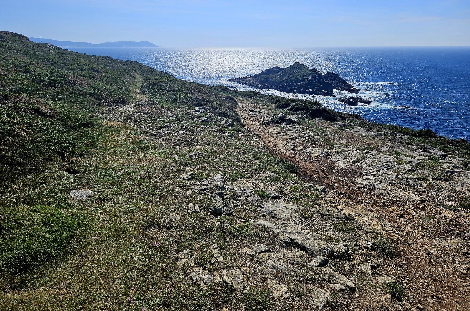
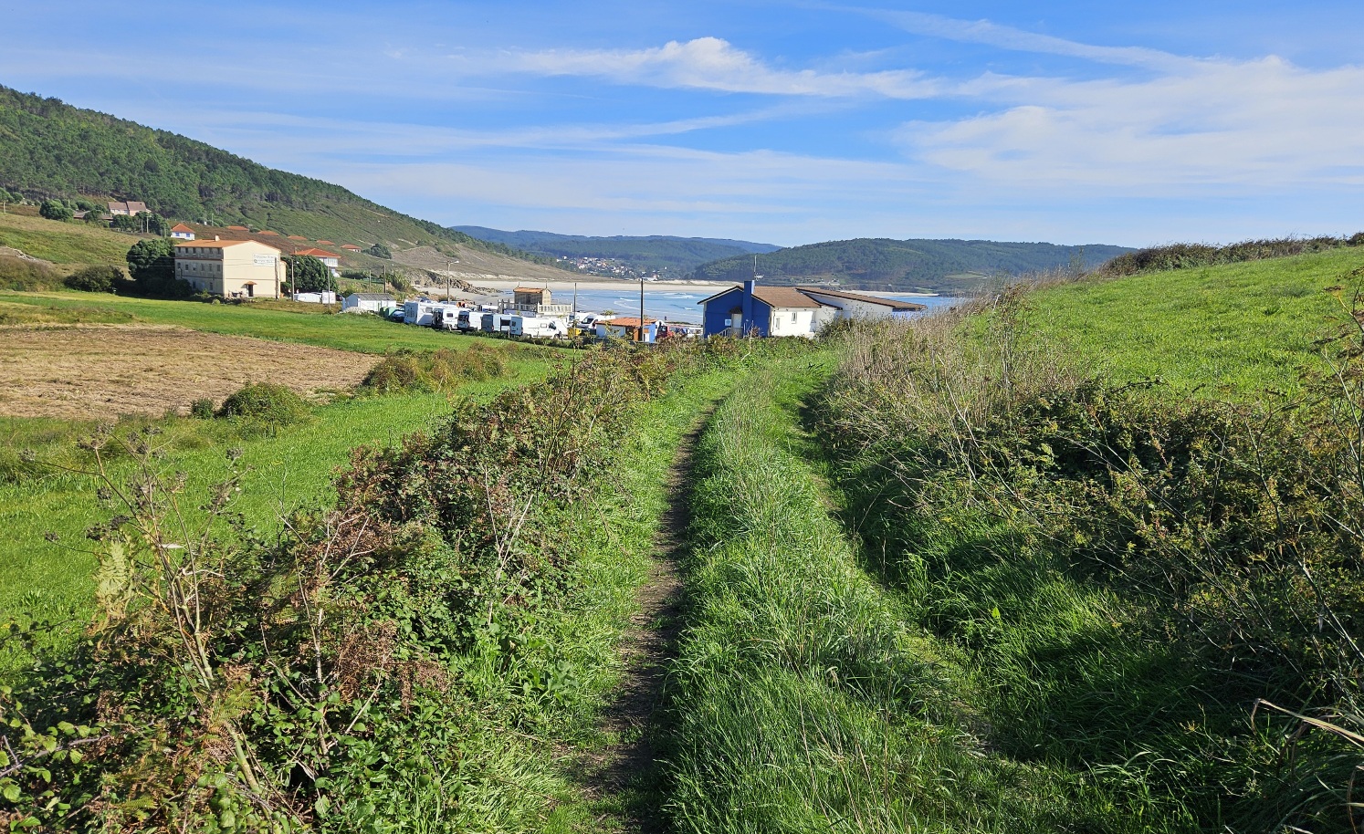
We follow the path along the coast, away from the lighthouse on the Camiño dos Faros.
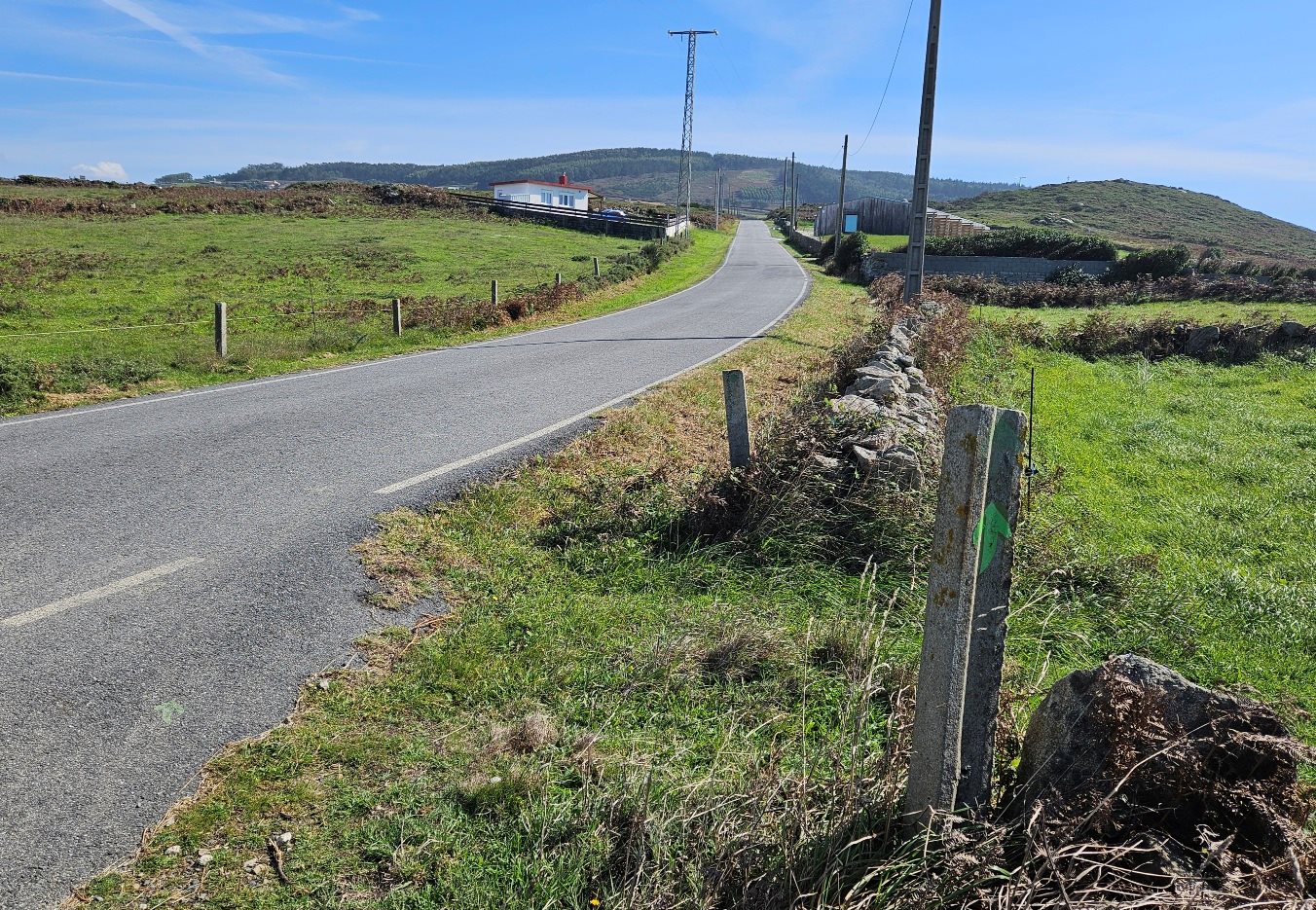
The path turns into a track and then joins the single-track road just before the Luscofusco apartment accommodation.
We only have around 100 metres or so on the road, before bearing right onto a wide track. After around 500m on the track, bear right onto a path which runs along the coast.
The path cuts off a section of road, then meets back up with the lane which runs eastwards.
Keep your eyes open for the right turn; there are two green arrows on the road to help out. Our route goes down a wide track; it’s a couple of hundred metres to the hamlet of Talón.
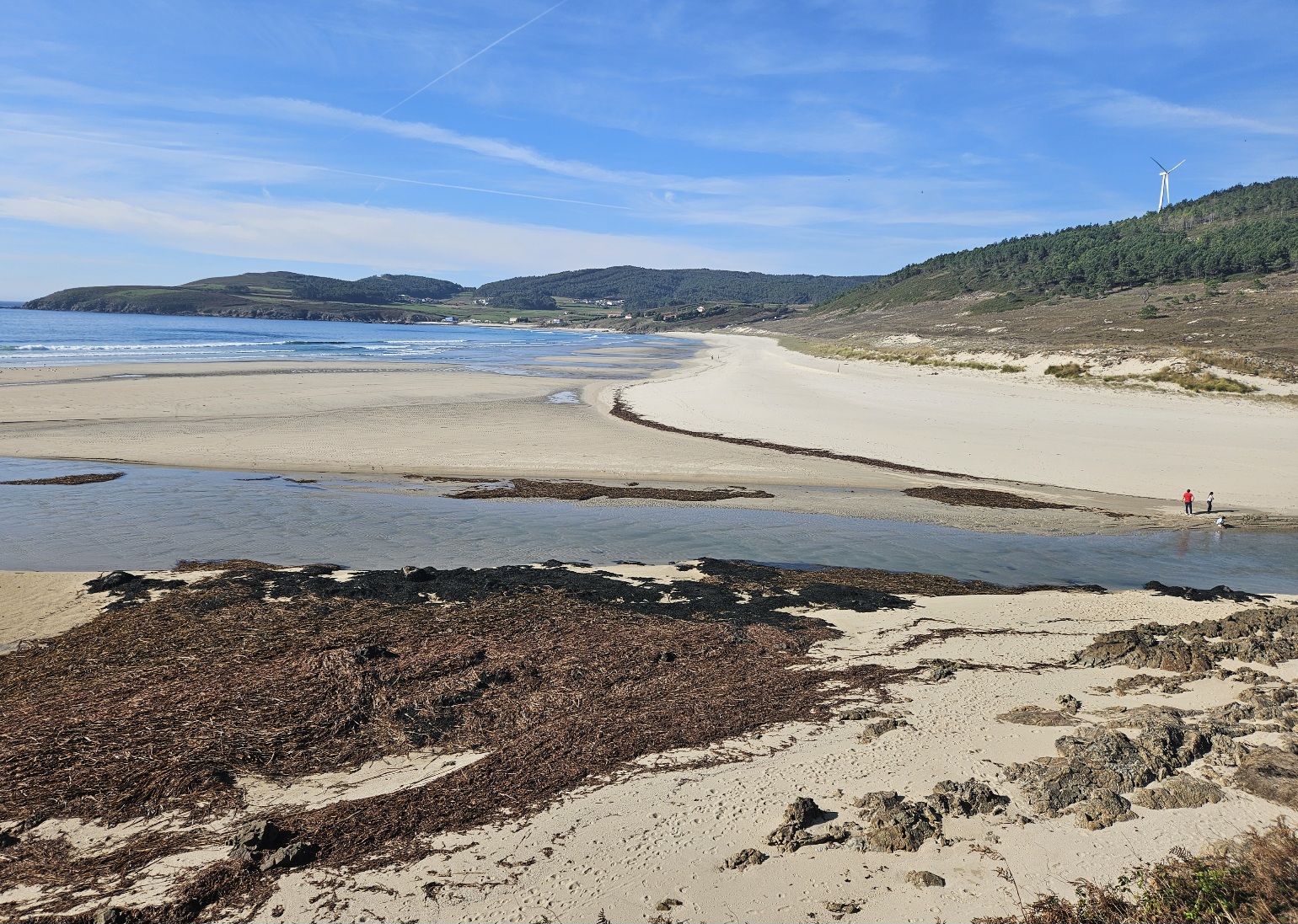
Pass through the village and bear right to follow a wide track to the beach.
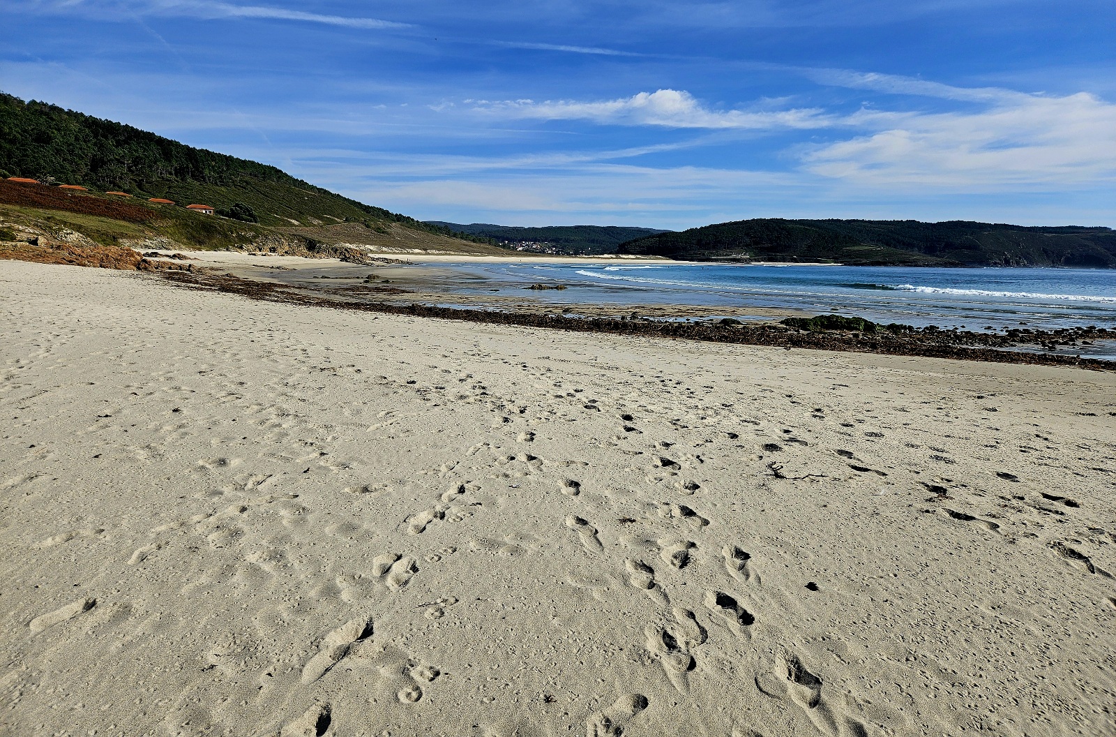
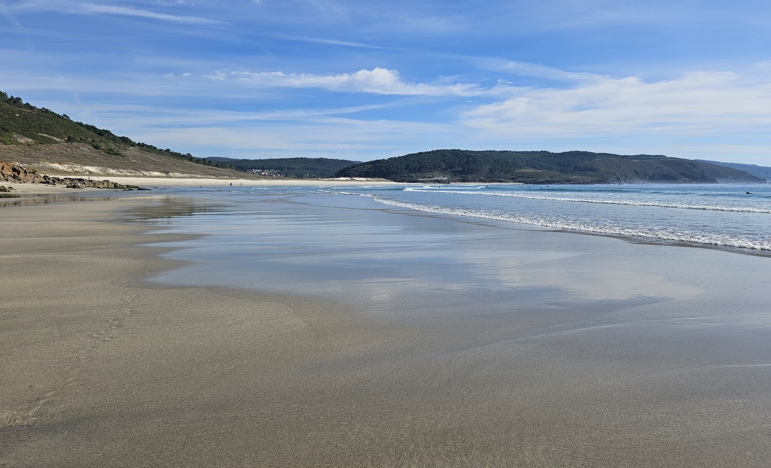
We pass through the small huddle of houses at Nemiña playa (including a restaurant and accommodation) and onto the long beach to walk along the shore, shoes and socks off, with sea and sand working their magic on tired, battered feet once more.
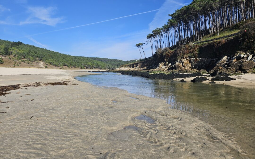
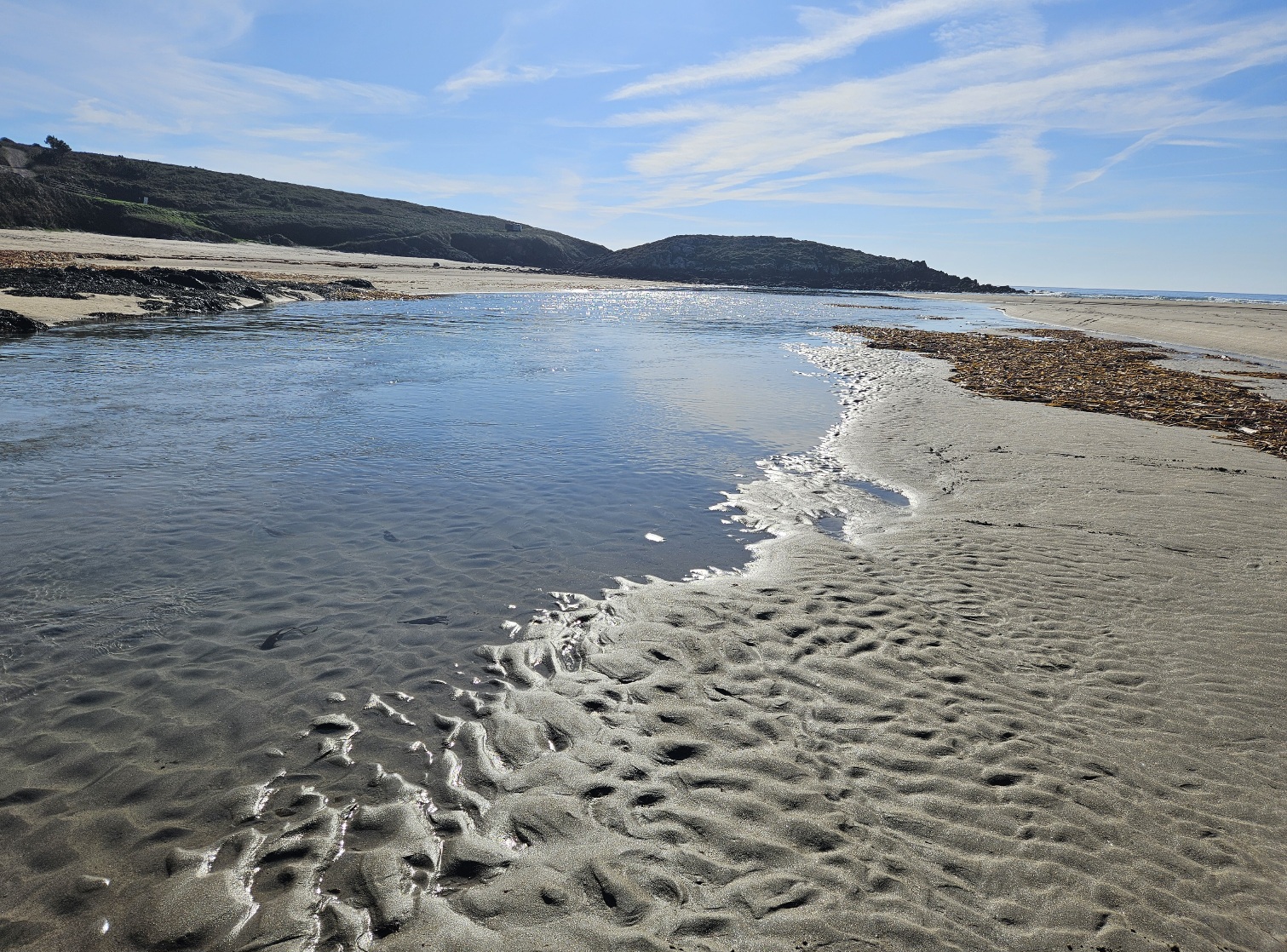
Head along the seashore to reach the Lires estuary. Here, you will be lucky or unlucky.
At low tide the estuary can be crossed; the water comes over your knees but it’s not difficult to do. However, as the tide comes in, the water levels rise and it can’t be done.
I was lucky, arriving at low tide and crossing easily. The alternative is to bear left at the estuary and follow the track which is near the bank to detour round to the village of Lires, adding at least 3km to the total for the day.
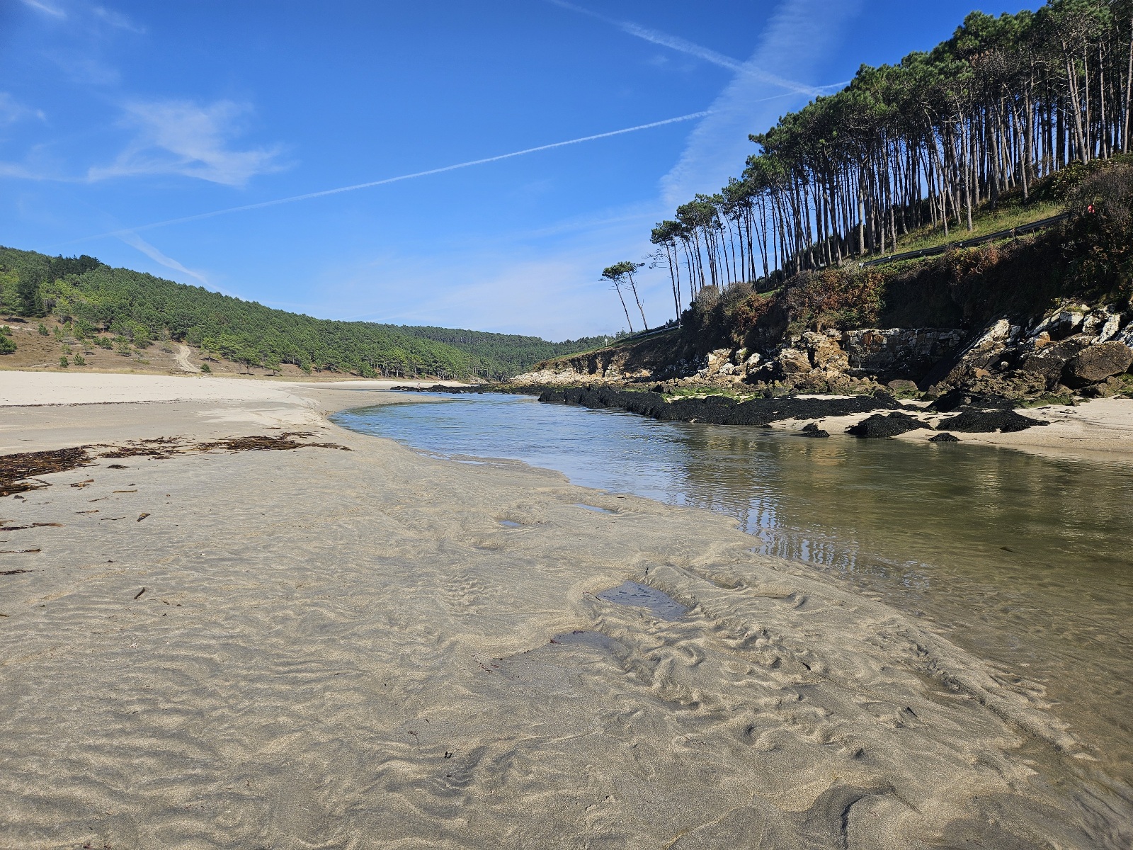
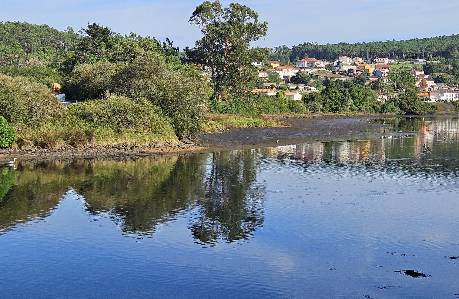
If you can walk across, climb the steps on the other side and bear left to follow the shady road along the estuary towards Lires.
This section is full of grey herons; I counted around 20 and have never seen so many in one place.
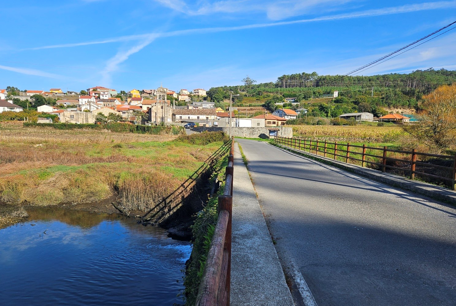
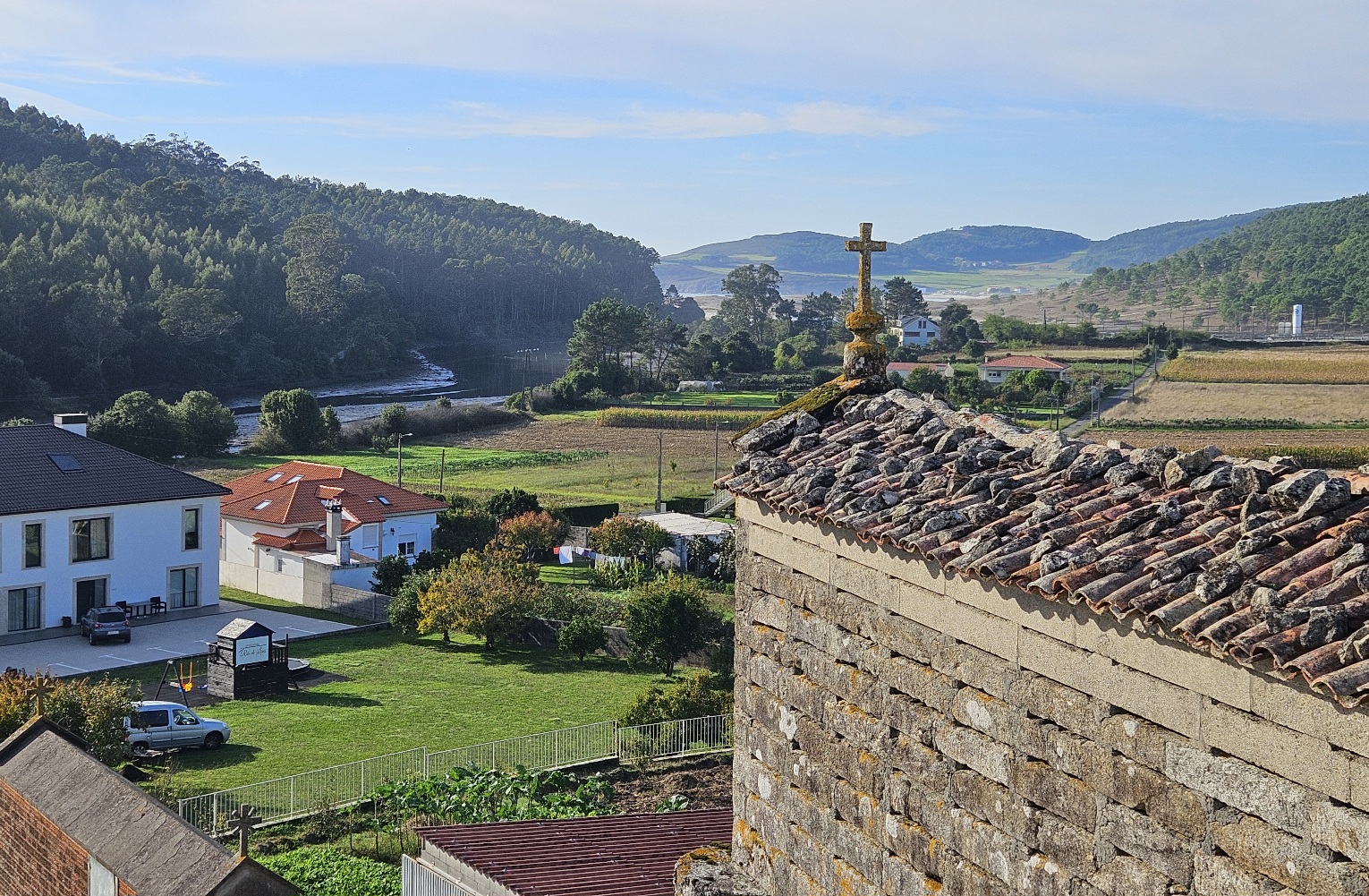
It’s a cool, fragrant and short final section of around 1.5km to reach the bridge in Lires which crosses the estuary. Walk into the village for a well-earned meal and sleep.
Day 7 of the hike, from Muxía to Lires, took me just over eight hours.
There are several options for accommodation in Lires; I really enjoyed my stay at the LiresCa Hotel; they can be found at www.liresca.com
Other options can be located via booking.com


Recent Comments