It may seem a bit odd to be highlighting a walk in the playground of Barcelona’s super-rich. Fortunately, Beret in the Val d’Aran, is a lot more than that.
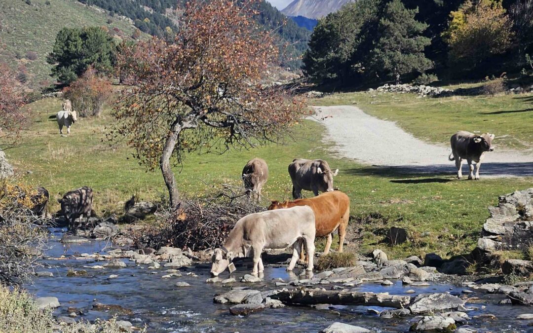
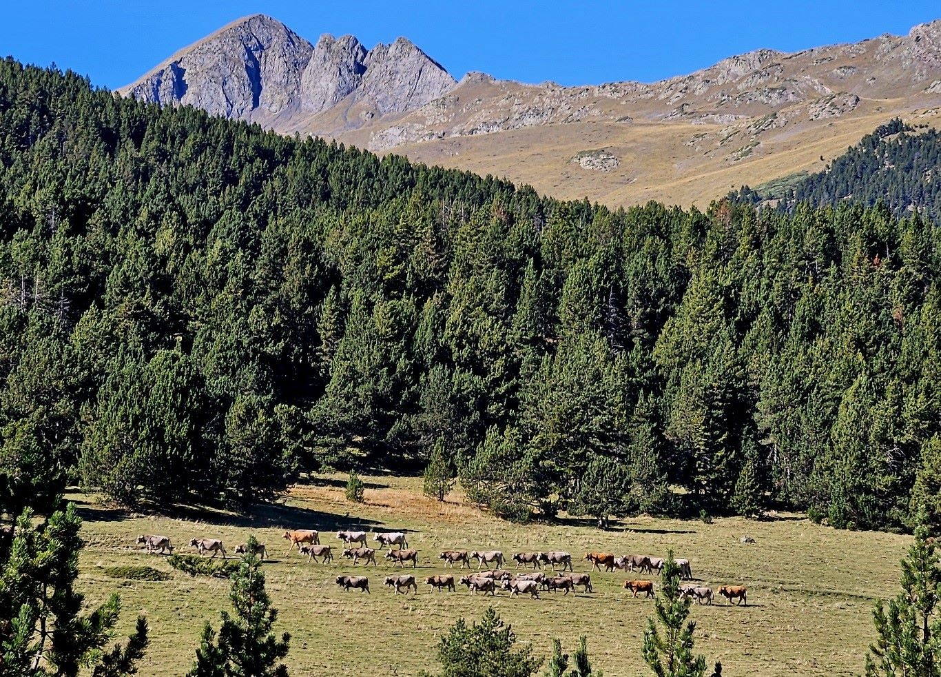
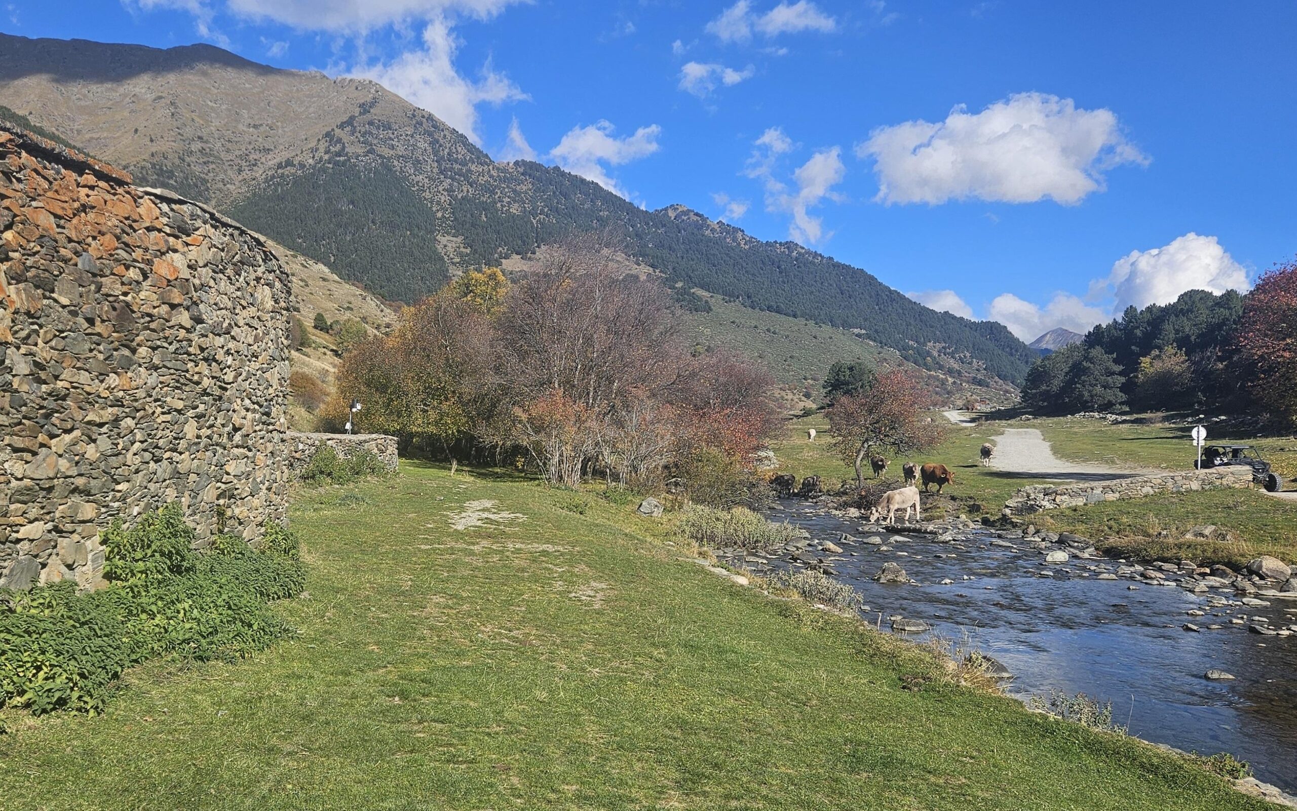
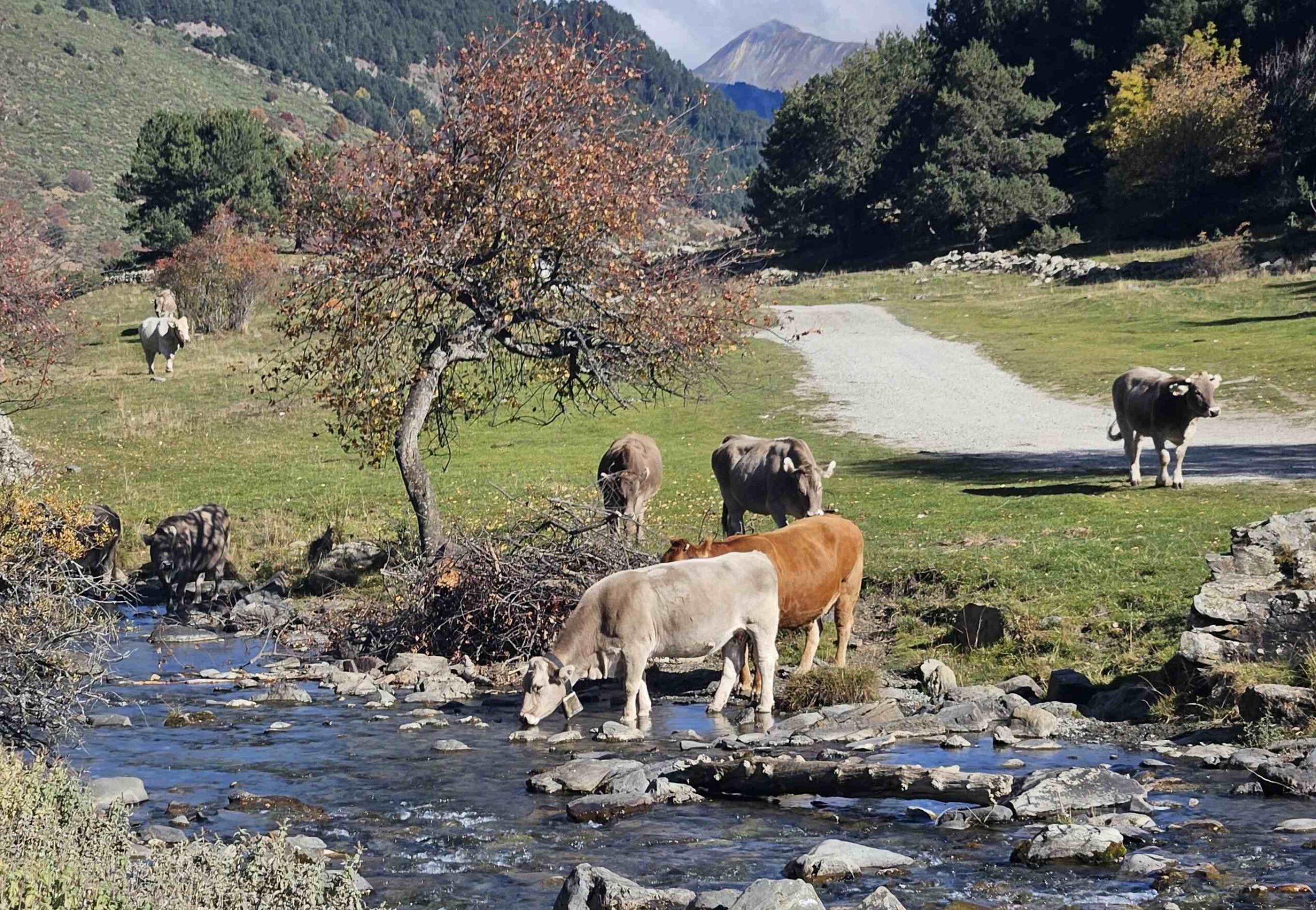
This route sets out from one of the car parks of the Baqueira Beret ski resort. Here we can see straight away how the chic and wealthy have to coexist with a more traditional way of life. There is abundant cow dung in the vicinity; and a large construction on the car park provides shelter for local herds.
Of course, by time the heavy snowfalls entice the skiers to their chalets and apartments, the transhumance has taken place and the cows have been moved down to lower pastures or into barns. So the ignominy of treading in cowpats is generally avoided.
This walking route starts at a height of 1,840 metres, so it’s a good one for summer months and autumn days when the temperatures are still high.
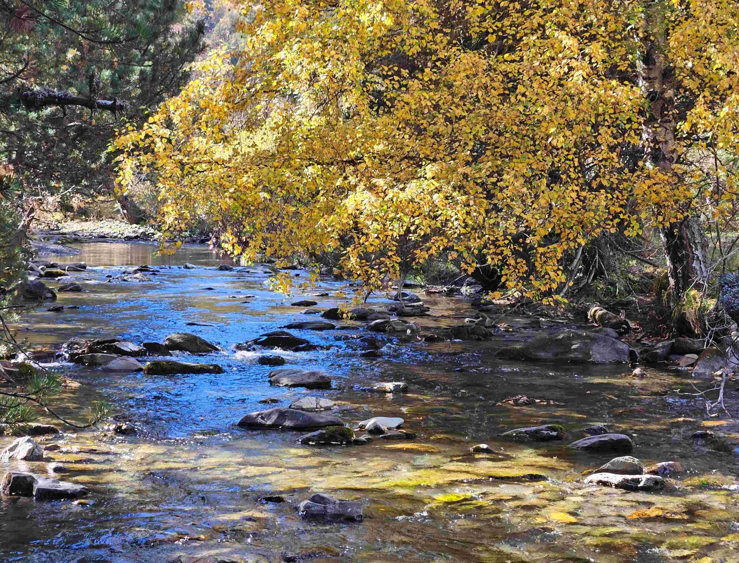
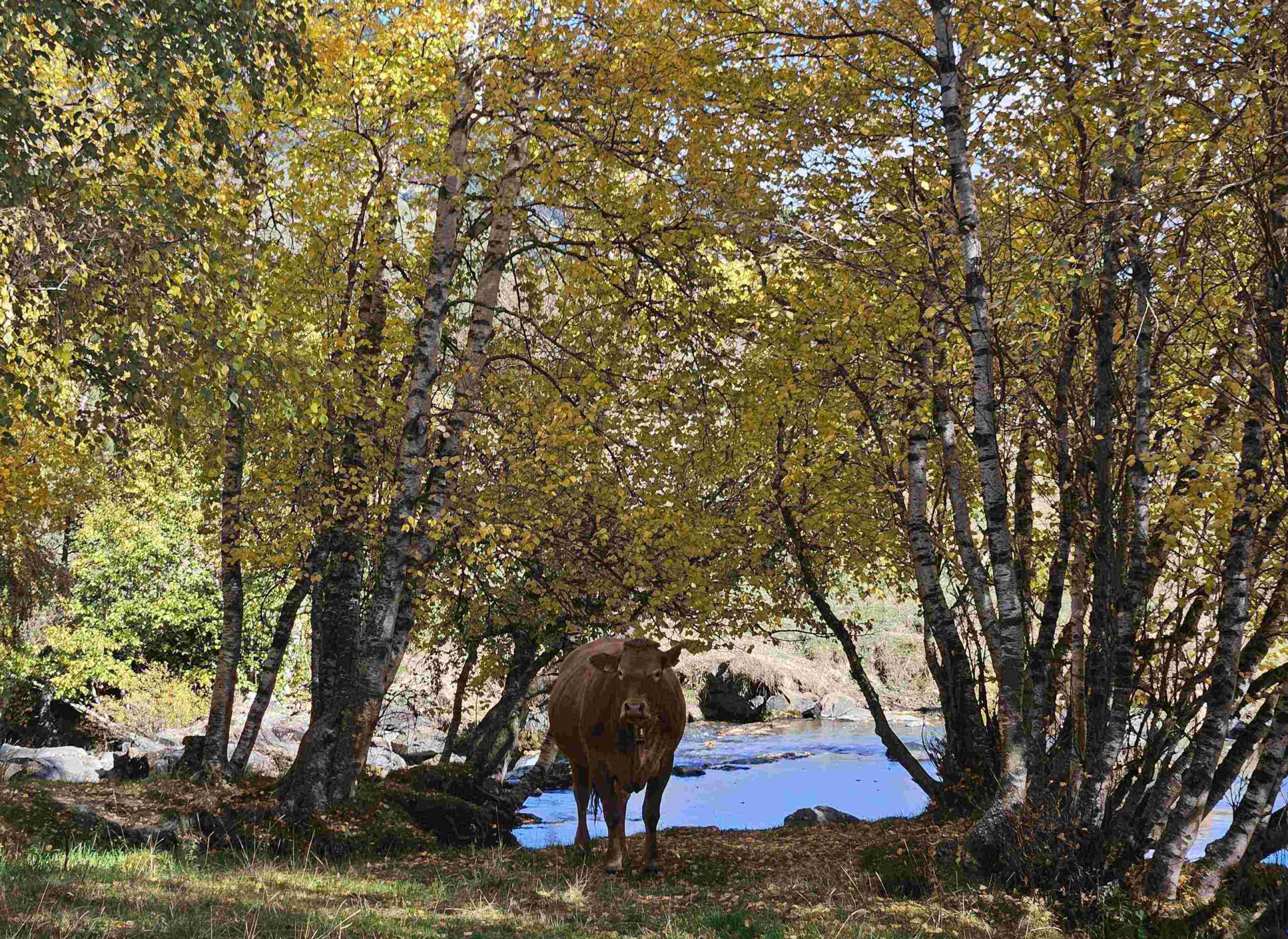
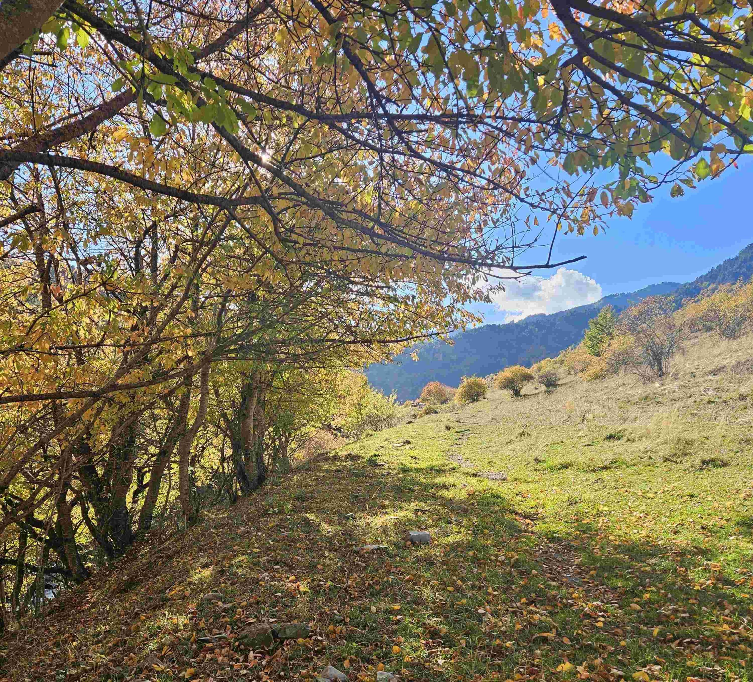
Another advantage of arriving in the autumn is the array of colours, with the deciduous trees on the turn; the rust reds, golds and bright yellows.
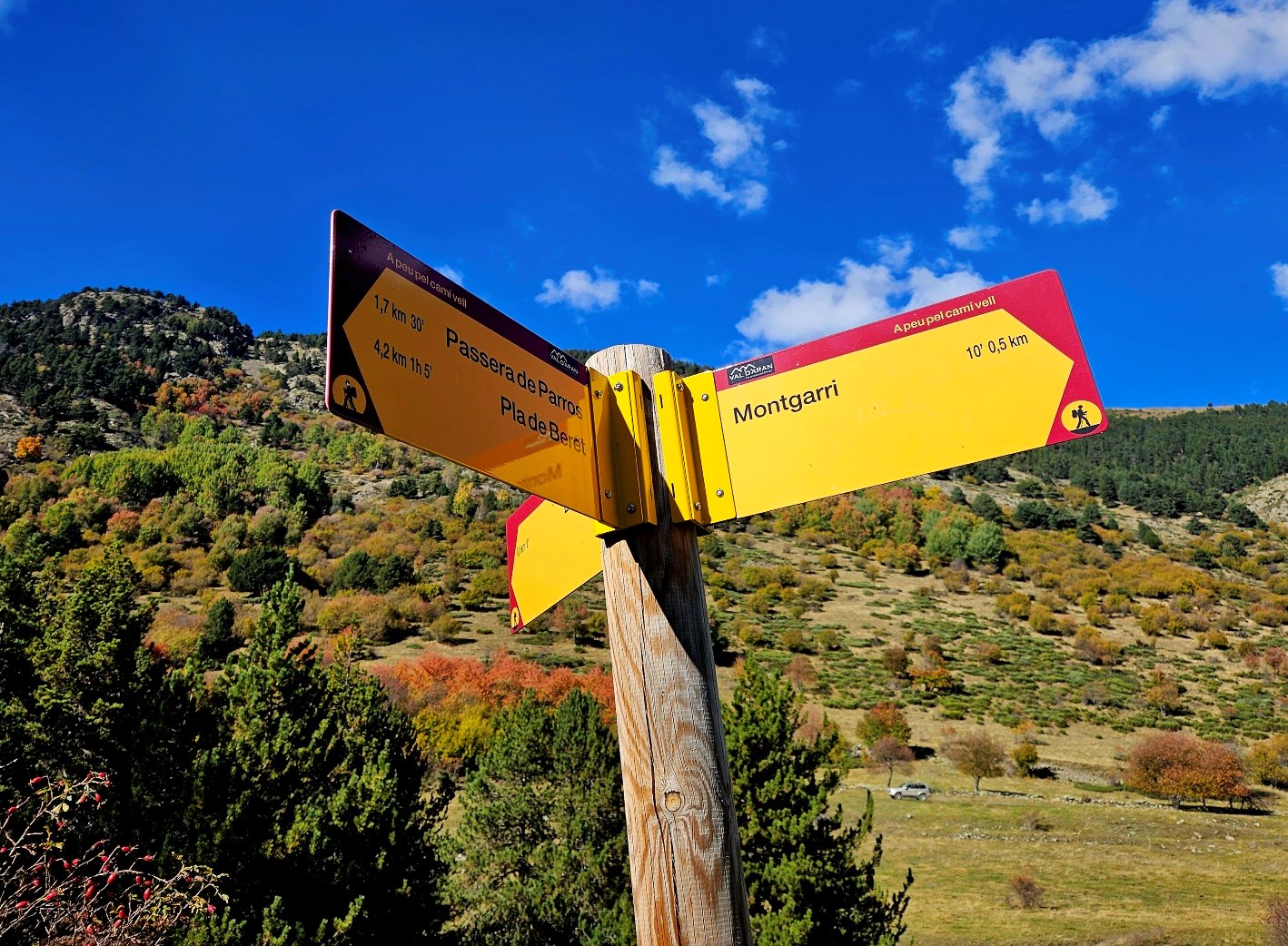
The basic route is not a long one; it’s 4.75km one way to the Montgarri hermitage and mountain hostel from the Plan de Beret.
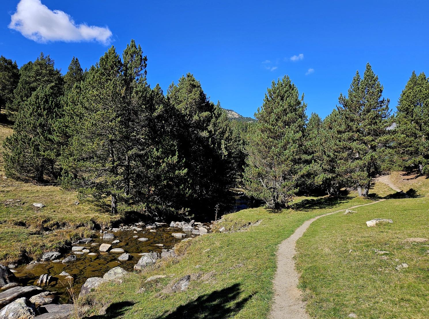
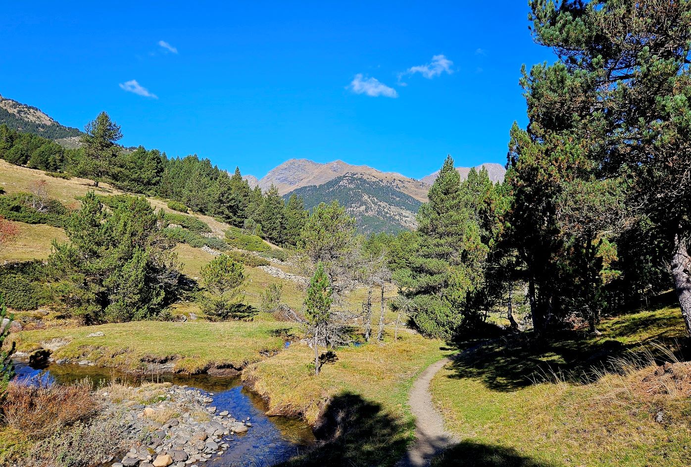
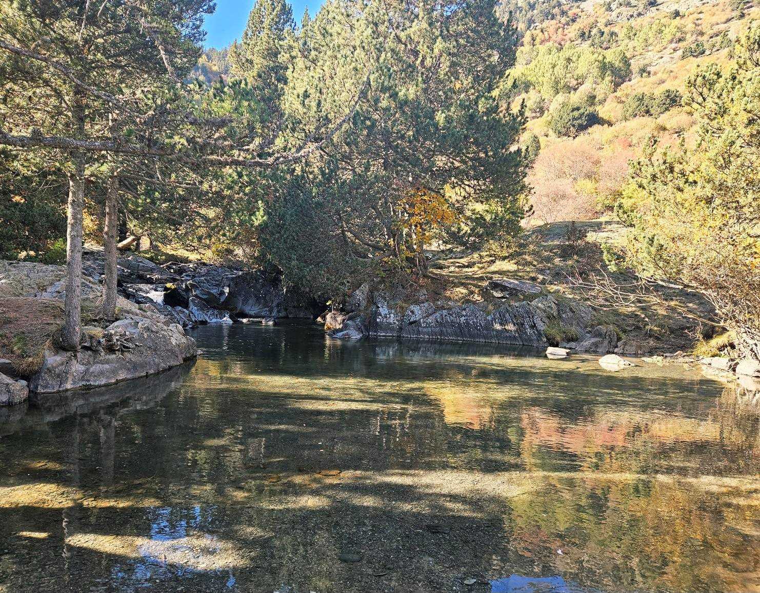
It follows the Río Noguera Pallaresa, which is mostly a mountain stream on our route, making for very pleasurable walking.
The destination is at 1,648m above sea level, meaning that the path is essentially downhill, but undulating, so there is some height gain on the outward hike as well as the return on the same path.
We are crossing the Plan de Beret, an area of rich mountain pasture which is also covered with forest in many zones.
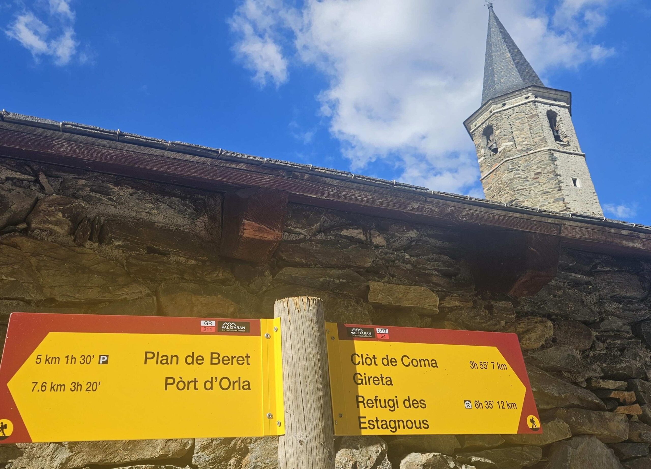
For anyone who wants to explore further afield, there are a number of routes from Montgarri; the GR 211 and GRT 54 both head up to passes on the France border. The Editorial Alpina 1:40,000 scale map entitled Val d’Aran shows the possibilities.
It is also possible to stay at the refuge, with more information and bookings at their website www.refugimontgarri.com
To get to the car park, take the C-28 road out of Vielha, turning off at Baqueira to drive up the switchback road to Beret.
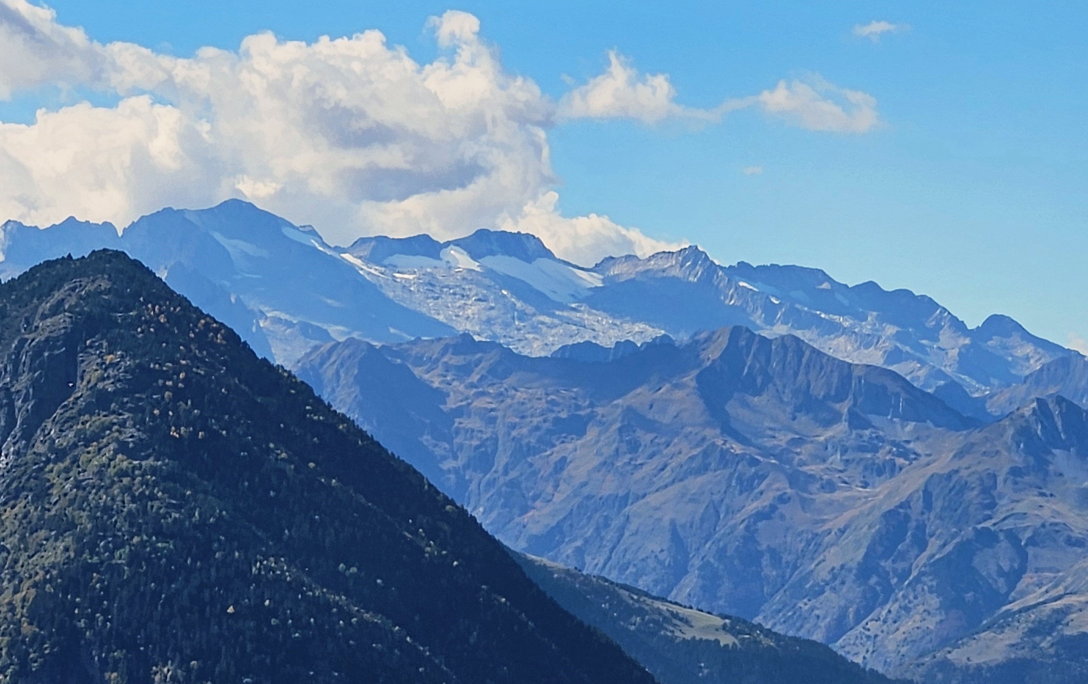
This road offers spectacular views across to the highest mountains in the Pyrenees, the Maladeta massif which includes Aneto (3,404m). There are lay-bys where you can get out of your car to admire the view and take a photo.
The walk
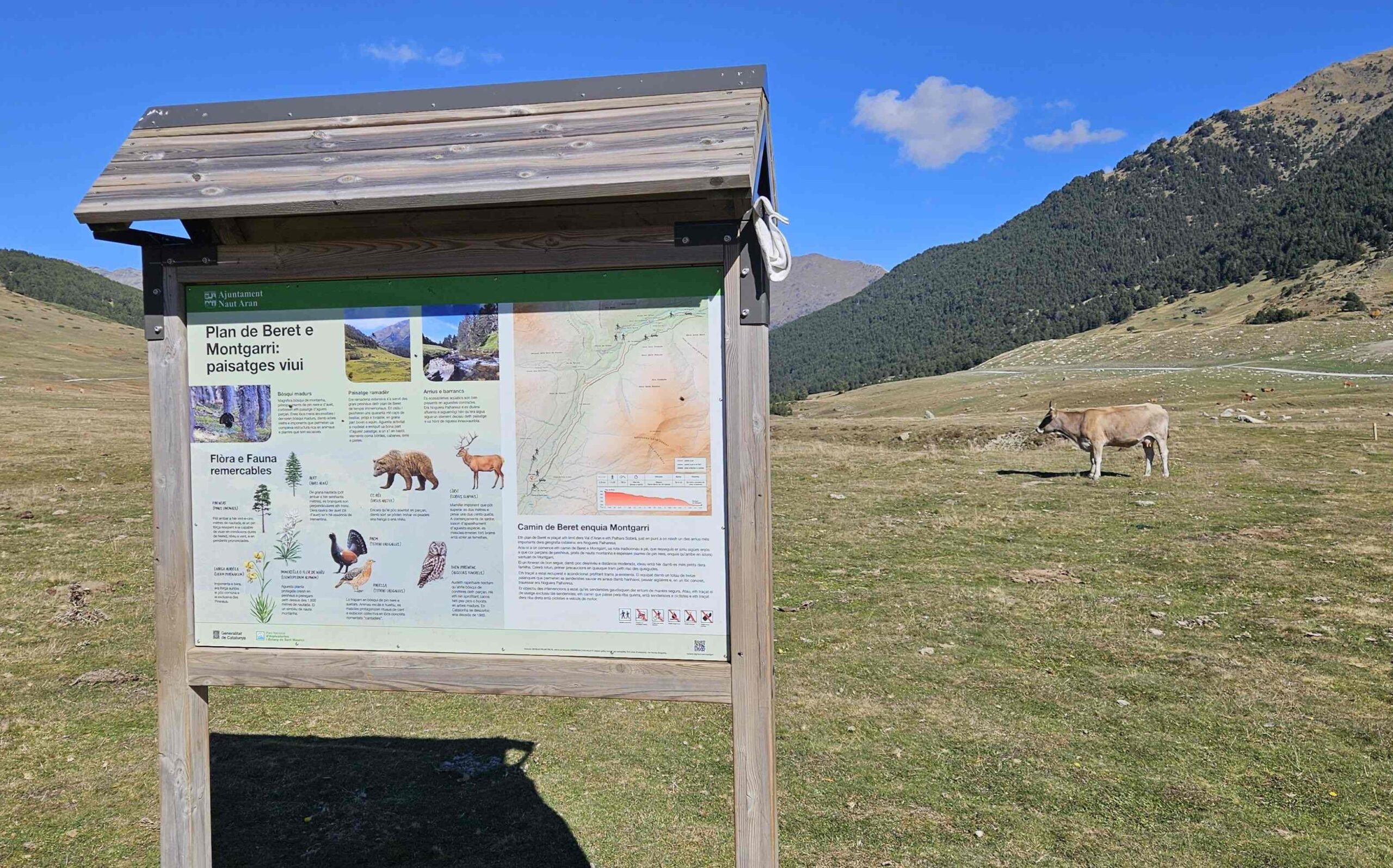
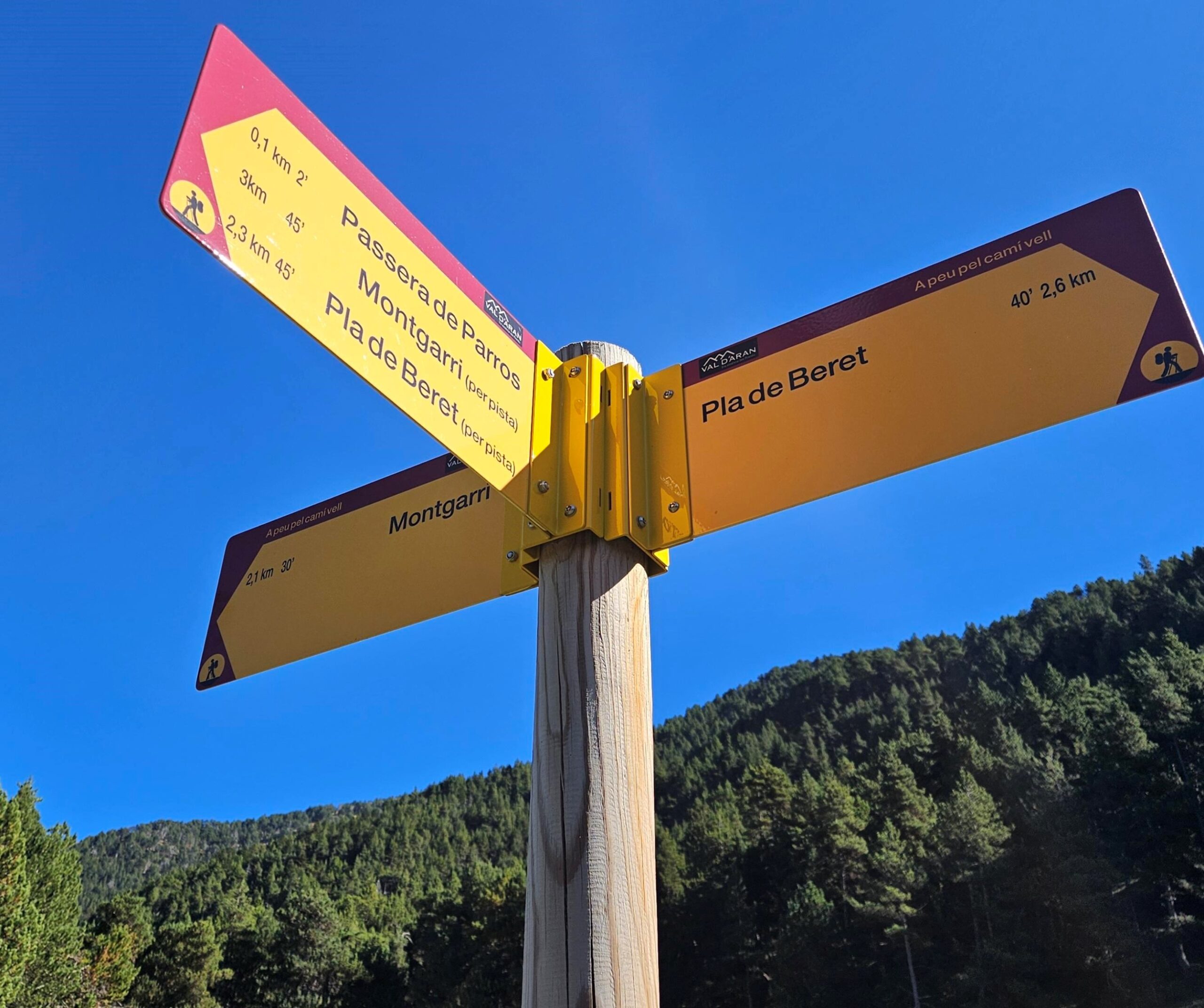
At the far end of the car park see the walk board which gives information about the route and animals that can be seen in the area.
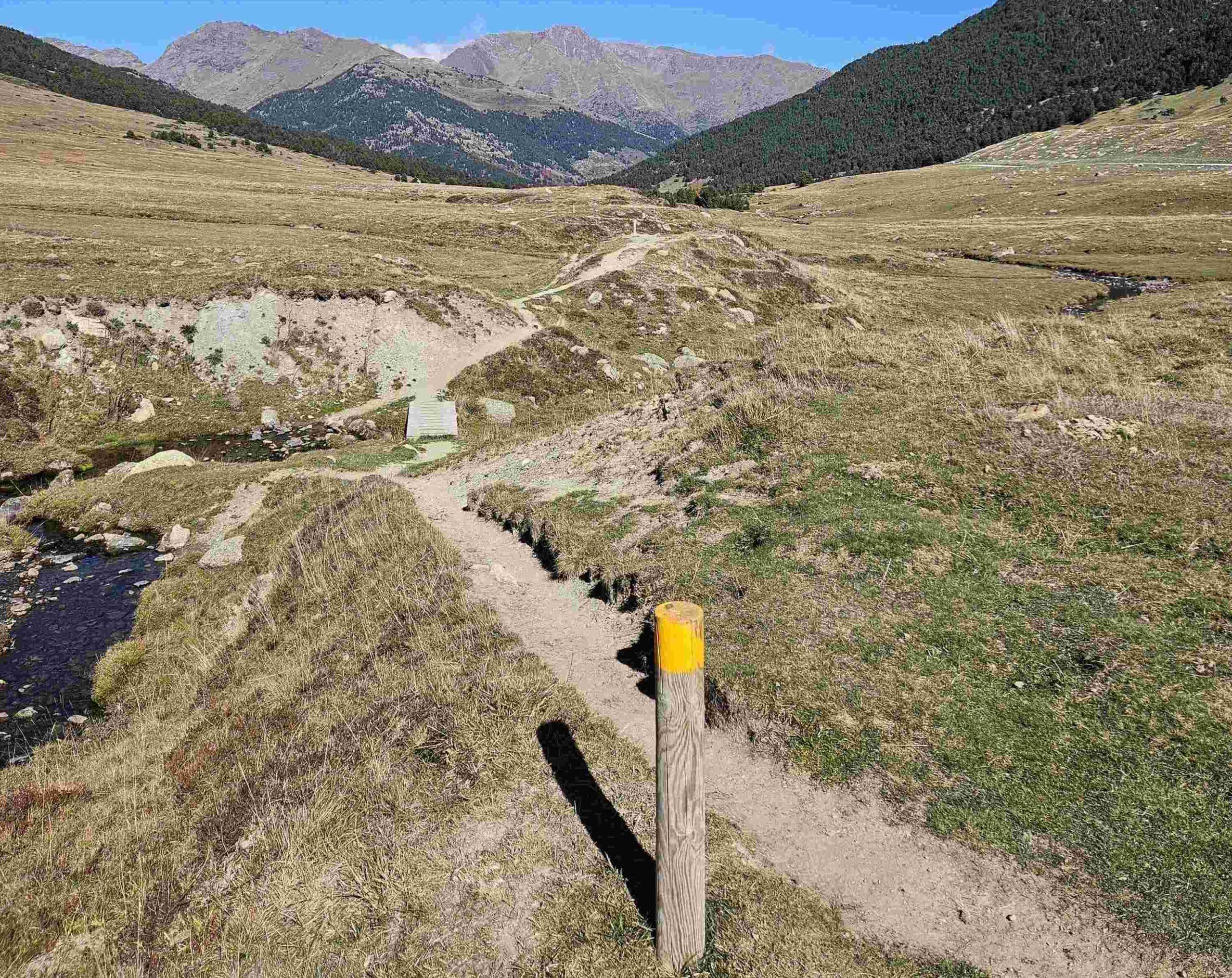
Passing the board, you will see the path which runs away from the car park, with short posts indicating the way.
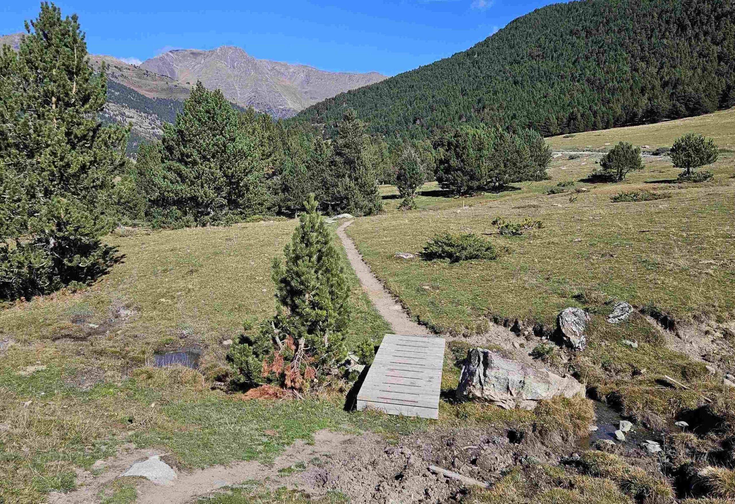
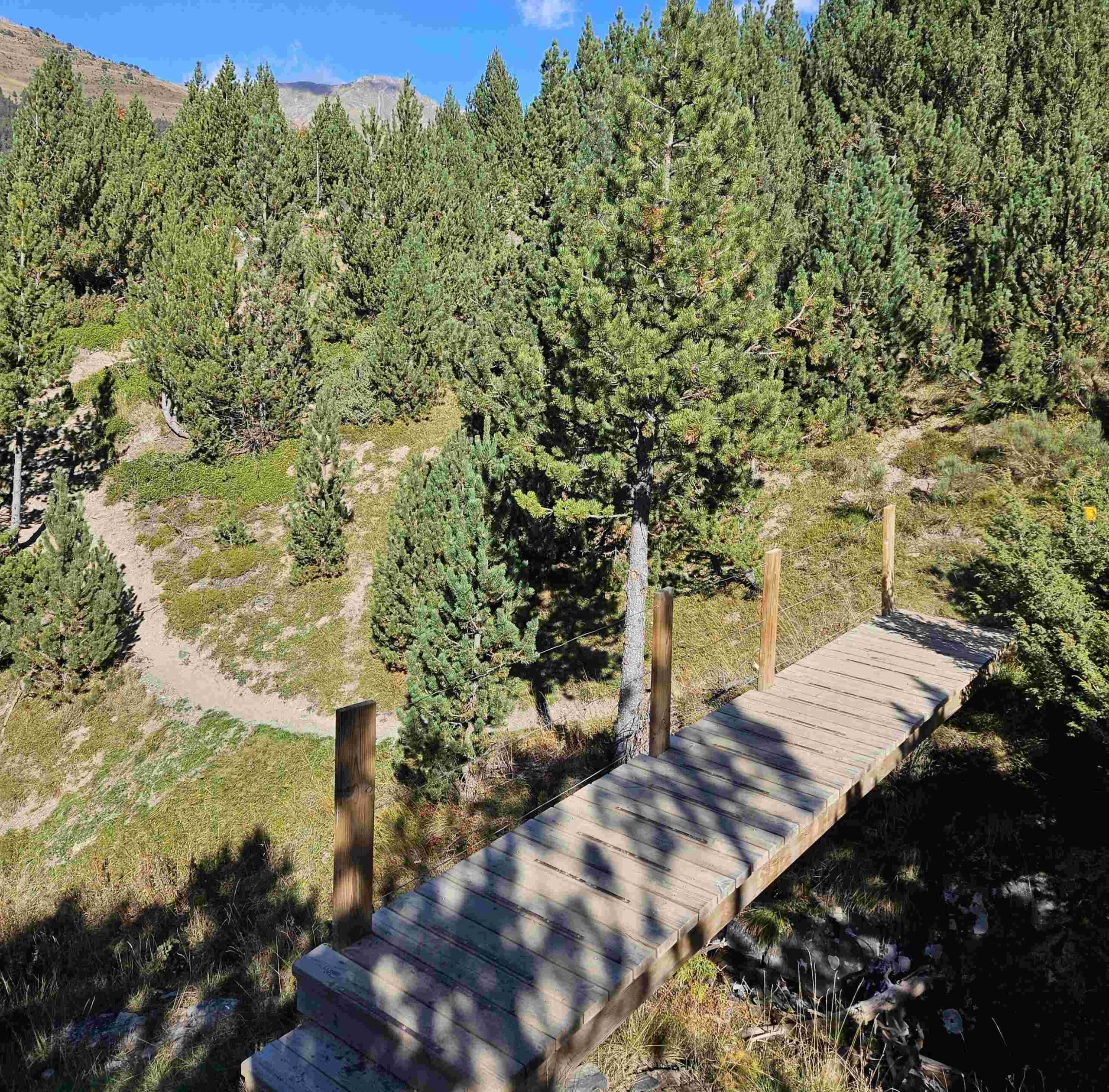
With the path criss-crossing the stream, there are a series of footbridges to make progress easier.
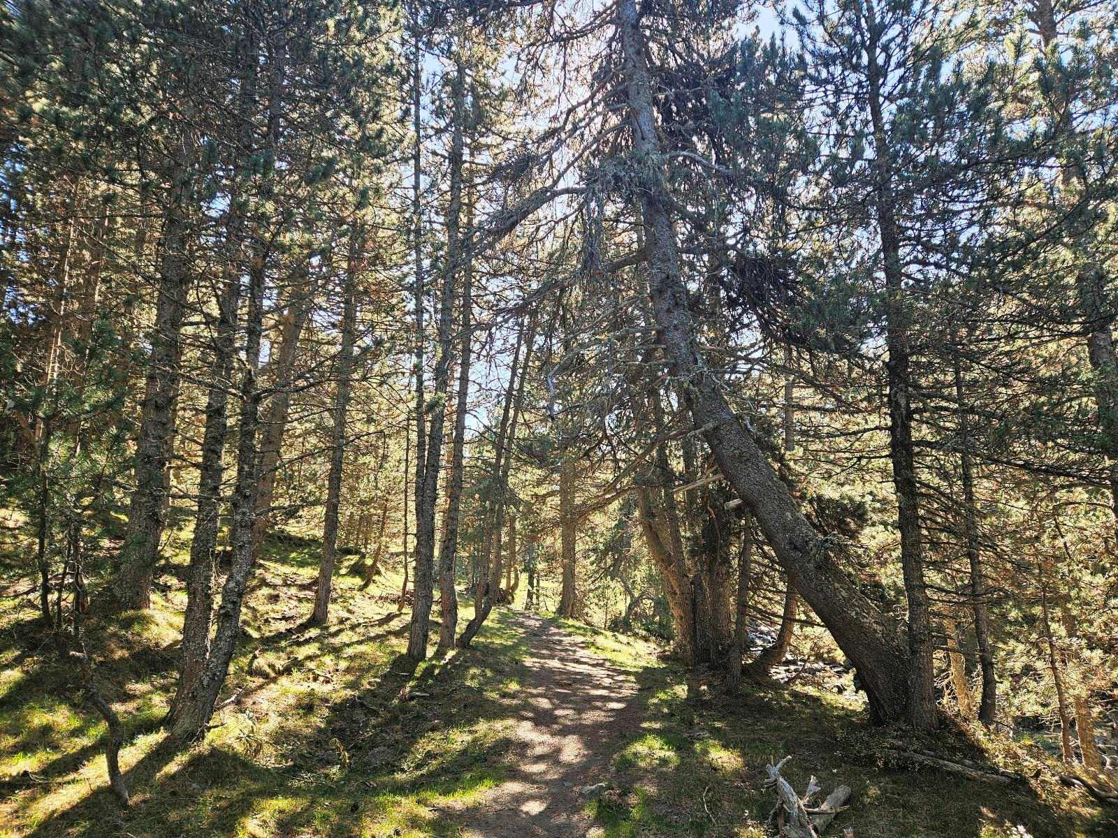
After the initial ‘plan’ (high, flattish area), the route starts to descend and becomes more attractive as it takes on a greener hue.
How heading in and out of the trees, we are on the most enjoyable section of the route.
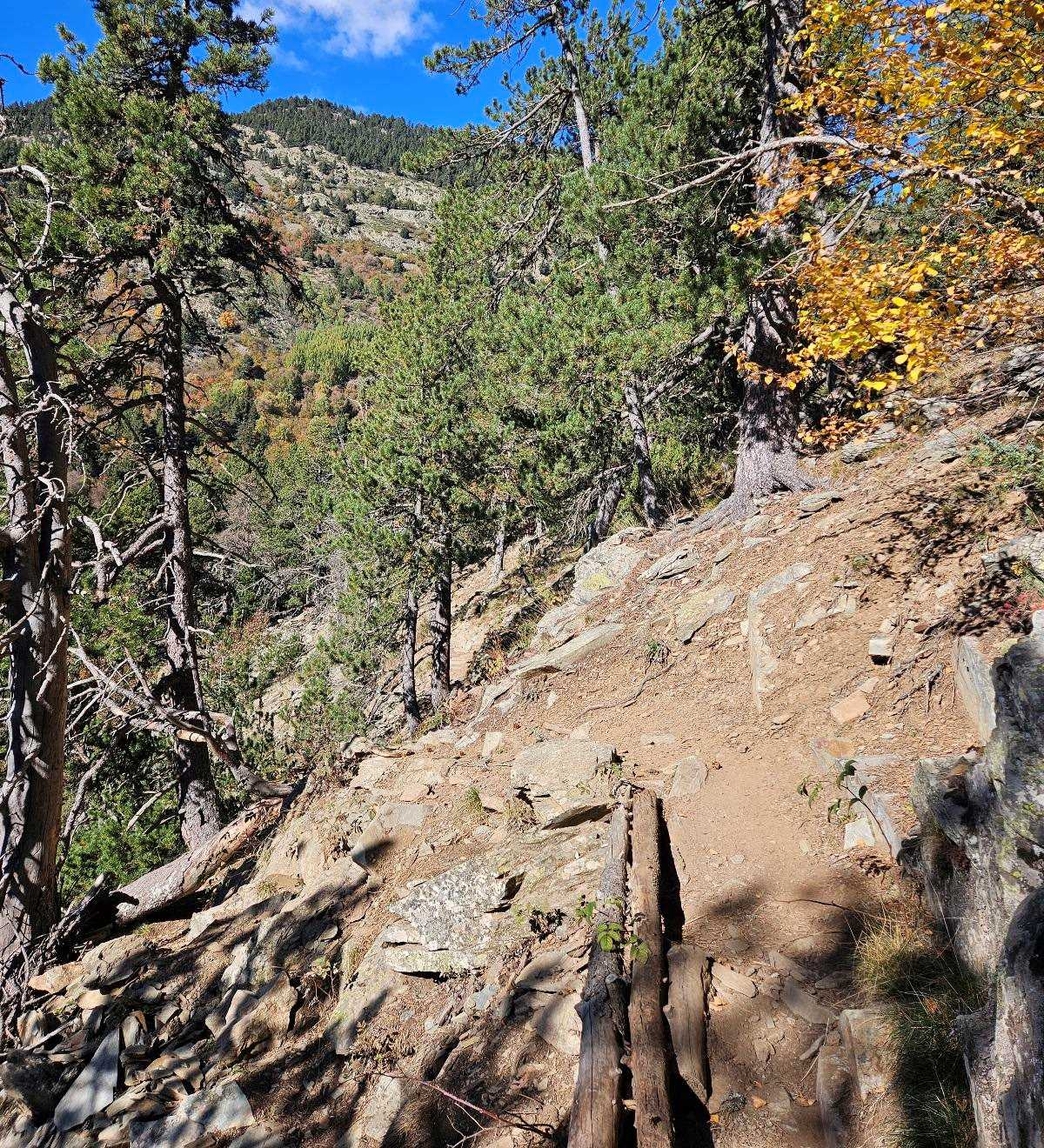
Just before the halfway point there is a sign saying that we have come 2.1km from the car park; next comes a footbridge and soon after there is a short section which presents minor difficulty as it is eroded and we have to take more care.
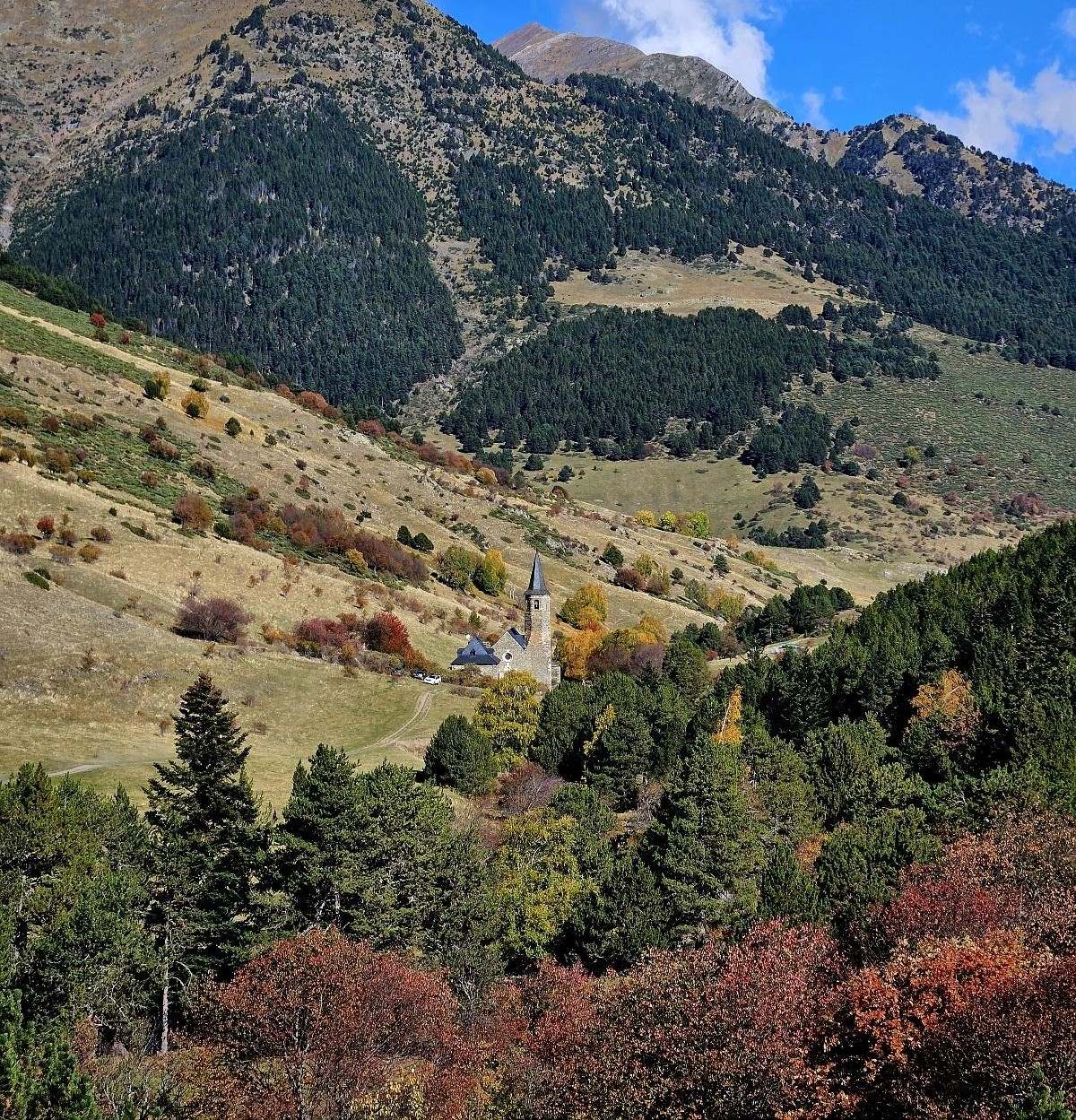
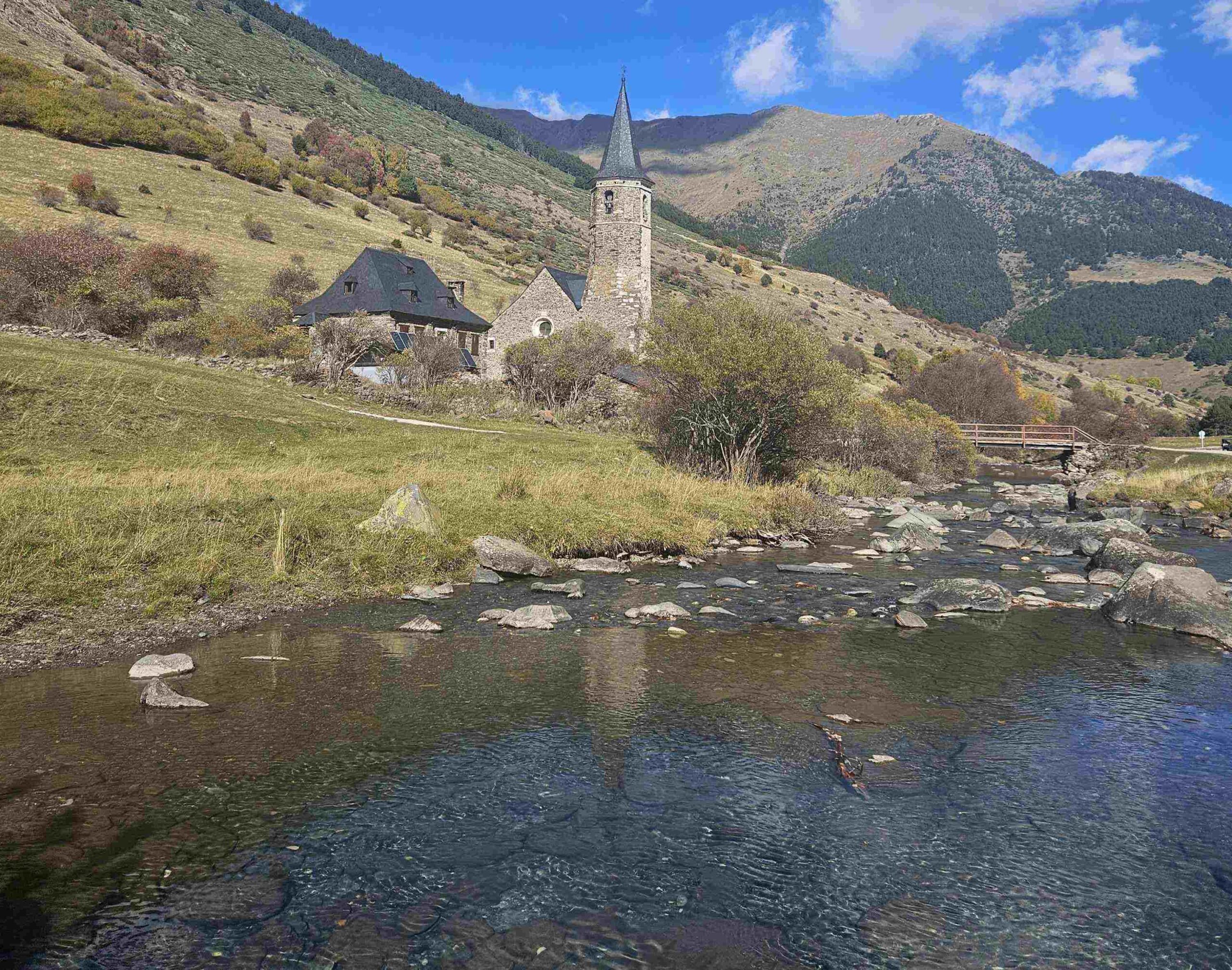
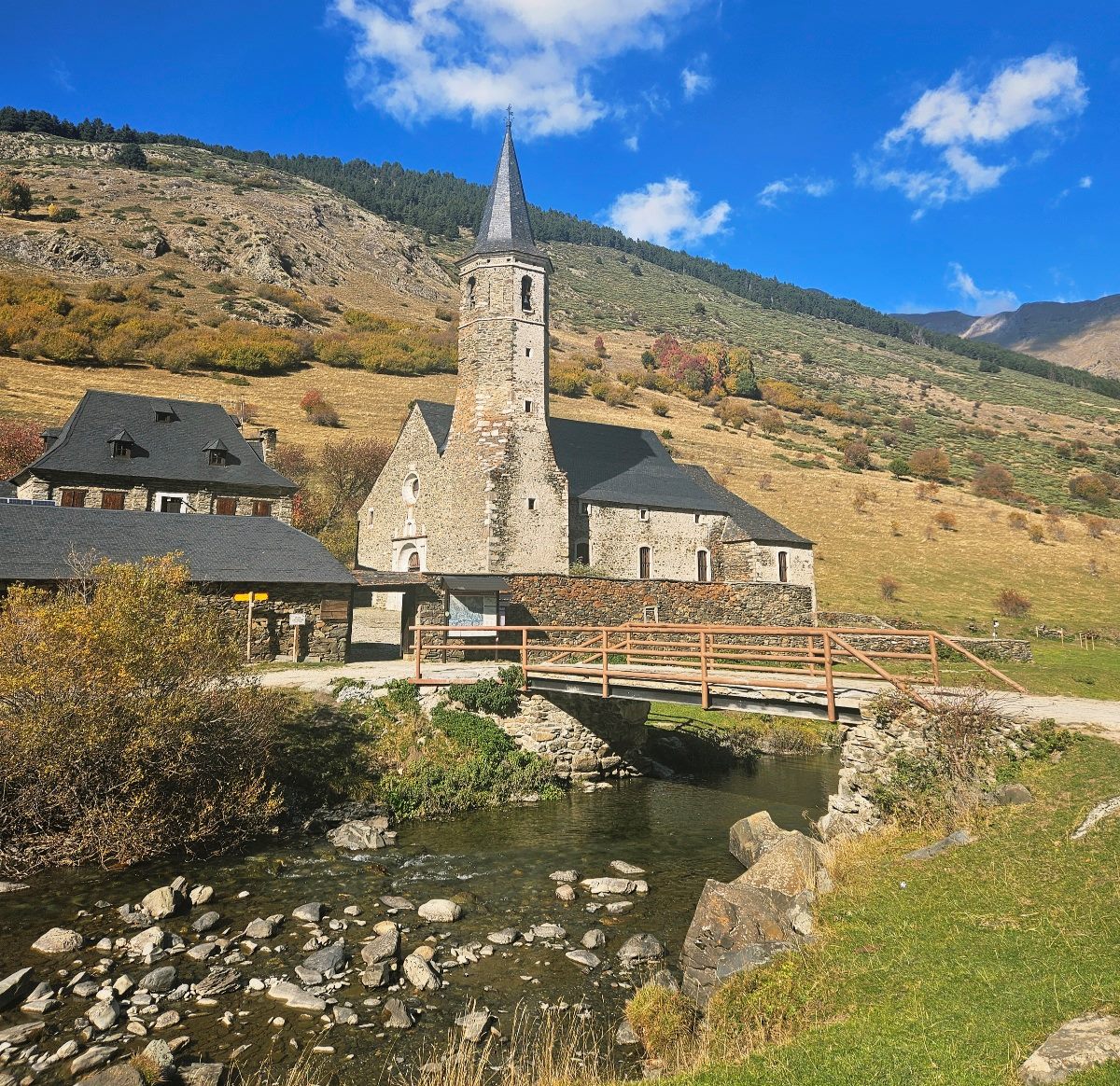
The path continues to descend and emerges at a spot where the river is much wider. Our route runs along the bank and soon we have a good view of the ‘church’ steeple head.
There is a bridge to cross the Río Noguera Pallaresa to get to the hermitage and mountain refuge. Here the signage, and our map, will highlight the possibilities for those who want to continue .
It is a very enjoyable stroll along the riverbank and many people will fancy doing at least a few more metres next to the water.
Return by the same path.
The return walk to the hermitage is 9.5km in length, with around 240 metres of ascent. It will take between three and four hours.
Recent Comments