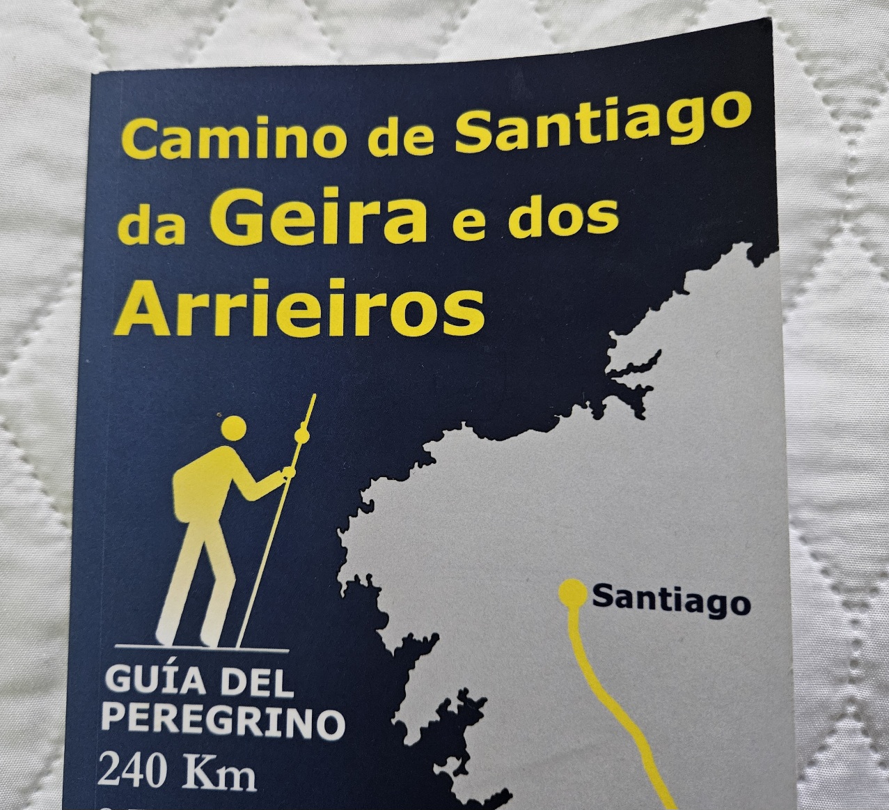
The Camino da Geira e dos Arrieiros is a fantastic walk.
The 10-day pilgrim route, which starts in Braga in Portugal and ends in Santiago de Compostela, offers magnificent scenery and a great variety of countryside.
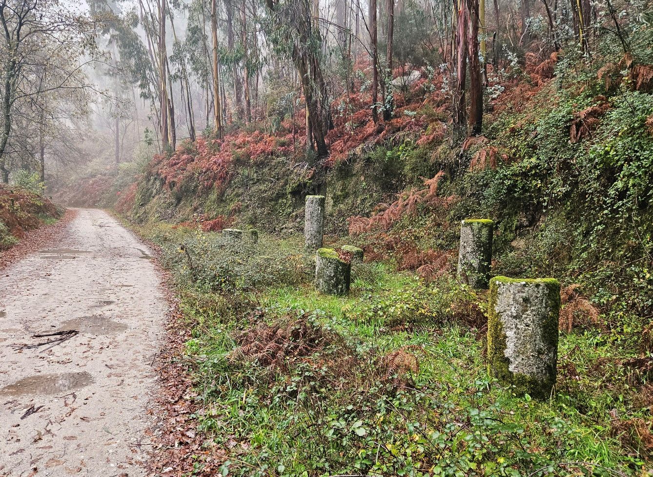
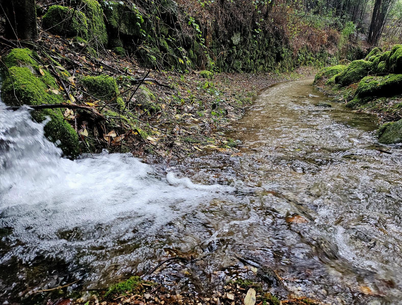
Passing through the mountainous border lands, the hiker will see nascent rivers and tumbling torrents, weird and wonderful rock formations, and perhaps wolves if they are lucky.
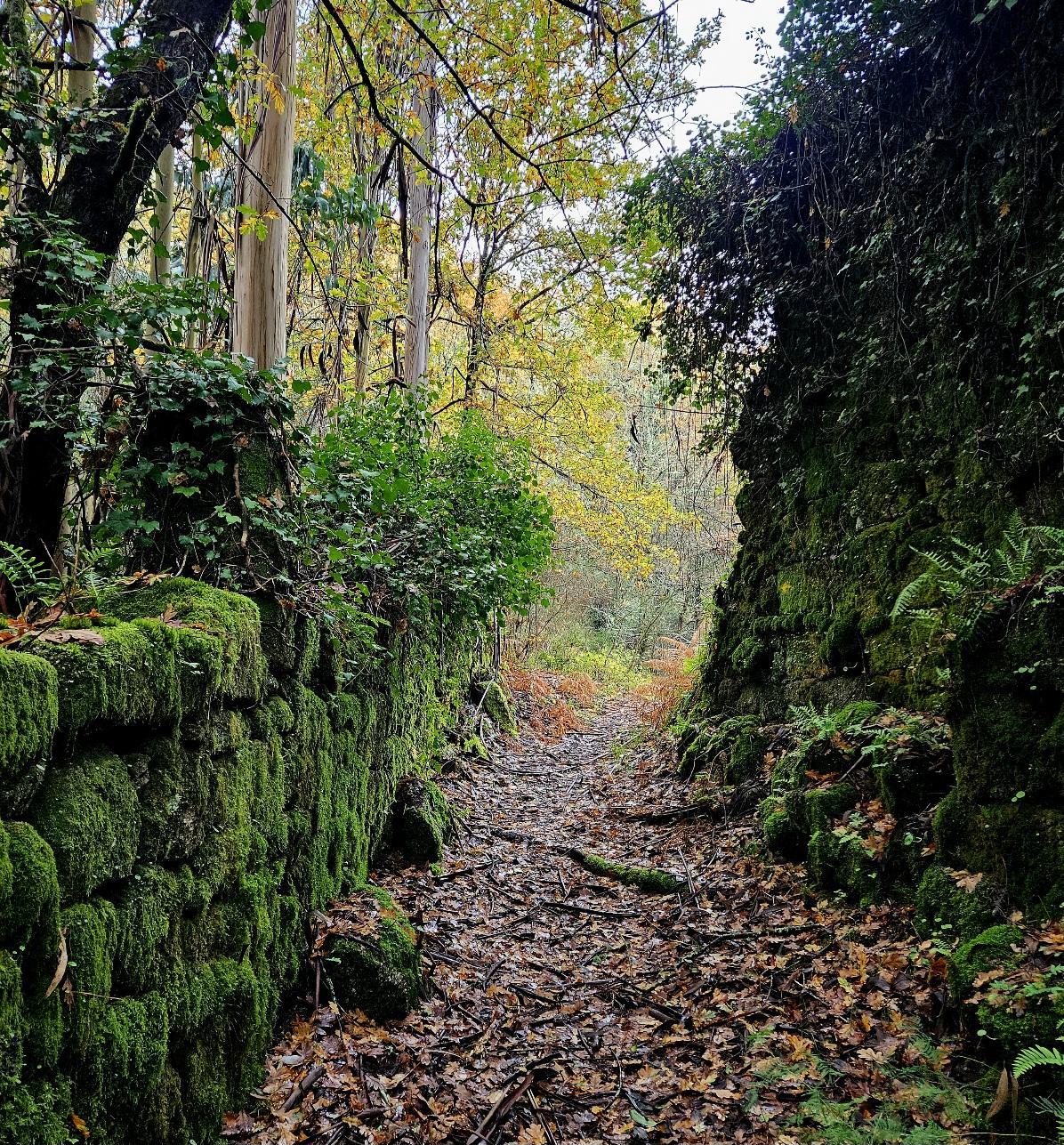
Later, in green Galicia there are forests aplenty to be traversed, along with rolling hills and vineyards producing the Ribeiro grape.
Acclaimed travel writer Mark Eveleigh – who walked the length of Spain for his book ‘Vagabond’ – says this is the ‘camino’ he’d really want to do, if he was undertaking a pilgrim route.
It’s a hikers trail. One that isn’t very well known and isn’t well visited.
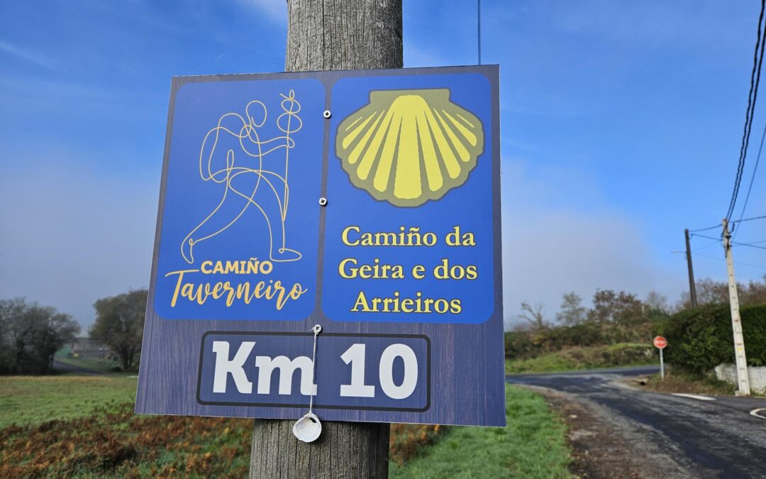
The Camino da Geira e dos Arrieiros runs along tracks and paths which were forged by the Romans in Portugal called ‘A Geira’, following their ‘miliaria’ milestones.
The route crosses the border twice, moving back and forth between the neighbouring Iberian countries, before settling onto old carters’ tracks heading for Santiago.
It’s a rural route, with overnight stays in villages and small towns. And it’s a challenging one, with the longest stages around 33km and others which are shorter. But you have around 6,000 metres of ascent to complete over the 10 stages.
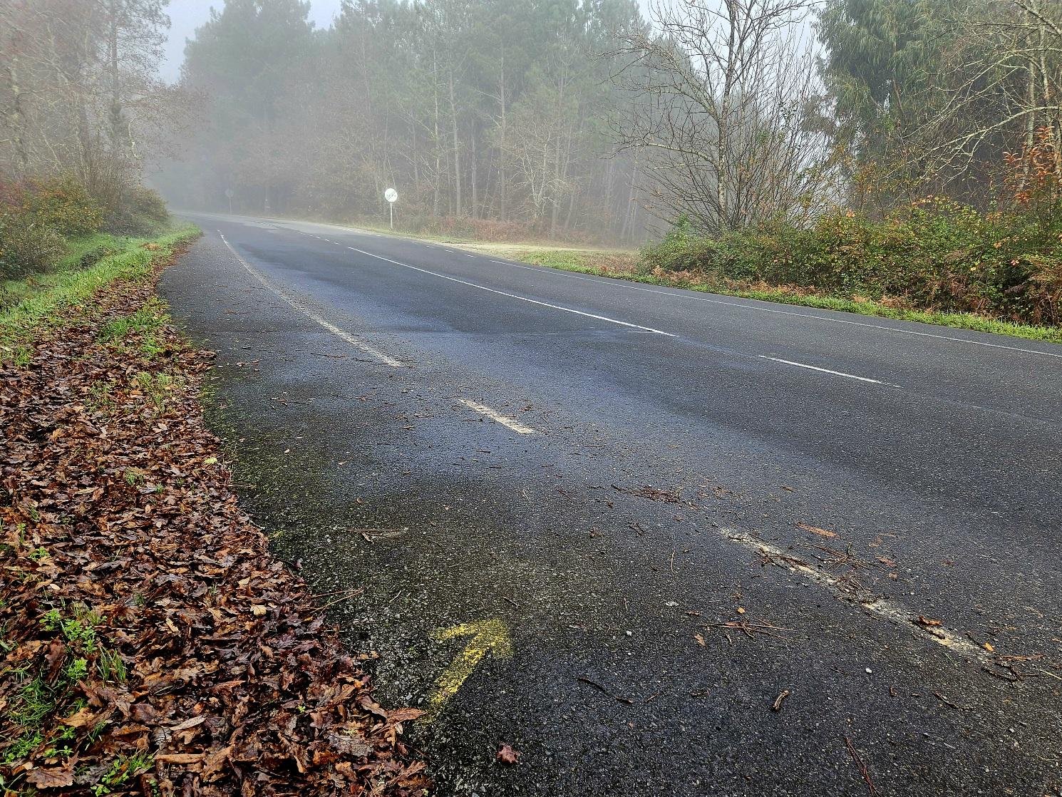
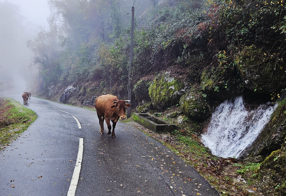
Also, in this part of the world the weather can be very changeable; it’s an Atlantic climate. I chose December thinking it might be cold and dry; but I nearly got washed away.
The weather was so bad on some of the stages that I had to get off the trail and walk on lanes and minor roads due to flooding on the paths. Streams turned into raging torrents, making them impossible to cross.
I’ve read other accounts in which walkers speak of similar experiences in January and February.
In the months of July and August the temperature can exceed 40c. Prospective pilgrims will have to think carefully about when to go and what they need to carry with them for the conditions.
For the first time ever on a long-distance walk, I took an umbrella; and I was extremely glad that I did. I doubt I would have finished without it.
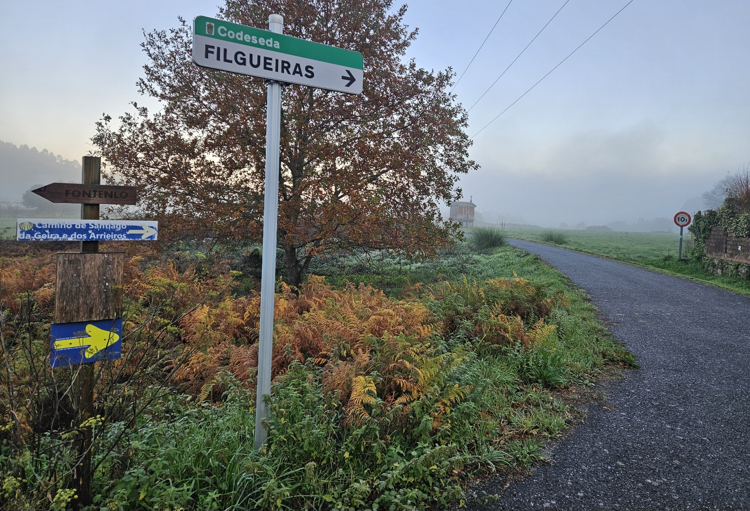
Another difficulty, at times, is orientation. The route is well marked at the beginning and at the end; but in some of the middle sections, the appetite to properly sign the way wanes considerably.
This may be about to change as the Galicia regional government has just approved recognition of this ‘camino’ and others so they can have ‘special attention’ from local administrations, starting in 2026. It remains to be seen what exactly they will do.
In the meantime, it means not making hasty decisions at crucial crossroads and taking time to make sure you are on the right path.
Around 700 people undertake this pilgrim route each year, roughly two a day, although I didn’t see any other walkers during my trek and didn’t hear of any from accommodation owners.
It’s a route which could still be considered an adventure, although it’s certainly not venturing into the unknown.
This account is designed to be an aid for anyone who wants to undertake this ‘camino’, but it is not a definitive guide (I also took a couple of wrong turns).
Potential pilgrims will need to use downloads from an app such as Wikiloc for orientation; they might also want to buy the small guidebook which has the same name as the walk and can be found via Amazon (although the authors do occasionally get left and right mixed up!).
If hikers encounter very wet weather then they may also need to use Google Maps, which I found very helpful for sussing out alternative routes along the lanes.
There is also a website with information about this ‘camino’ at www.debragaasantiago.com This site contains information about three ‘caminos’ leaving from Braga for Santiago; ours is listed as Geira Arrieiros
A word in your shell-like
The scallop shell is the symbol of the ‘camino’, whichever one you decide to take to Santiago de Compostela.
In medieval times pilgrims were given a shell when they finished their walk, which could be attached to a hat, garment or walking staff/pole.
The shell would allow them to be recognised as a person who had completed the pilgrimage. Traditionally it was a two-way journey and they would have to walk home as well as hiking to Santiago.
Nowadays the image is instantly recognisable; a yellow shell on a blue background.
The Camino da Geira e dos Arrieiros does not have the traditional posts emblazoned with the shell, but it is used on some of the signs.
Mostly, it’s yellow arrows pointing the way. Bear in mind that the arrows can be on trees or on the ground, sometimes covered with dirt or leaves. It is always worth taking time to scout around for an arrow when in doubt over which direction to take.
Information about each of the 10 stages of the Camino da Geira e dos Arrieiros appears in following articles

Recent Comments