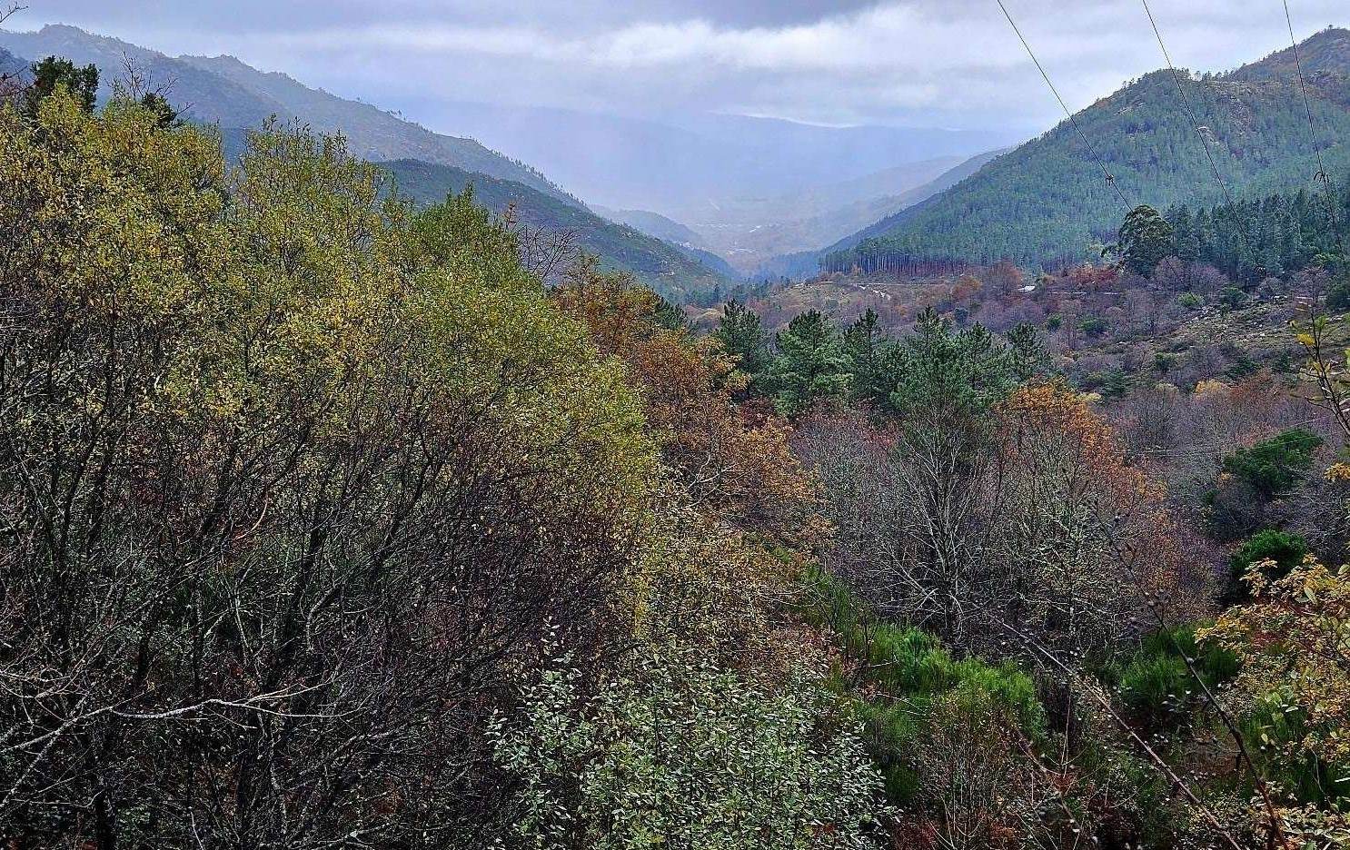
Day 3 was a revelation. The rain stopped at around 10am and I had views.
This stage is one of the most scenic of the Camino da Geira e dos Arrieiros, with half of the route going through Portugal’s only national park, the Peneda-Gerês, which is home to wolves and mountains of incredible natural beauty.
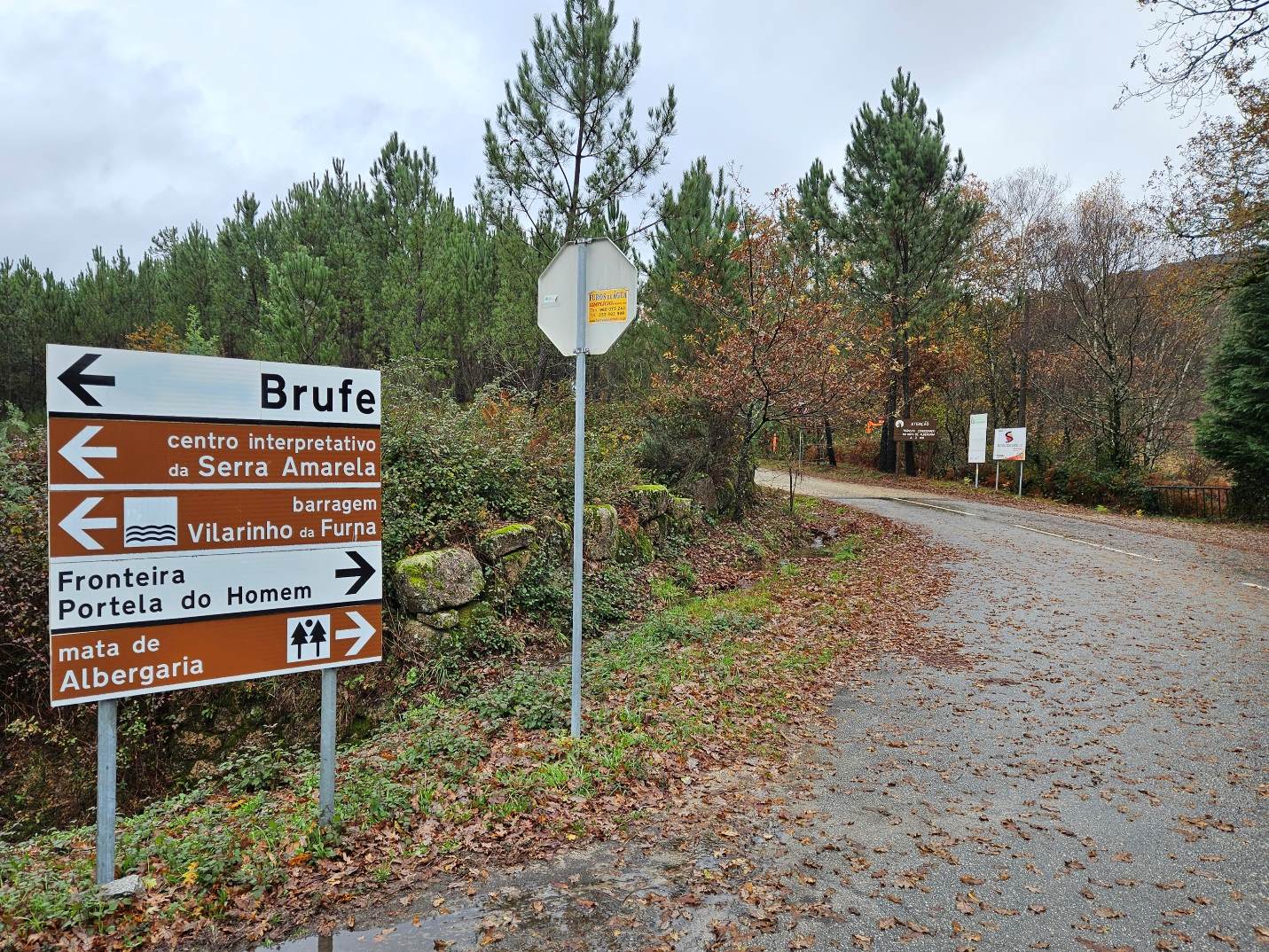
It is also a frontier day. Setting out from Campo do Gerês, the camino heads back into Spain, with the border crossing at Portela do Homem. Then it’s on to the spa hamlet of Os Baños.
It’s only around 20km, with approximately 450 metres of ascent; a short stage.
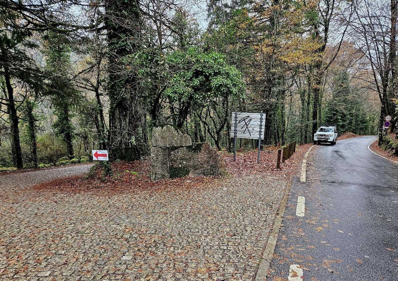
The camino leaves Campo do Gerês on the N307 road. From the edge of the small town, it’s a further 500m to get to the turn off for the border.
A sign points right for Portela do Homem along a wide unsurfaced track, which is also used by vehicles.
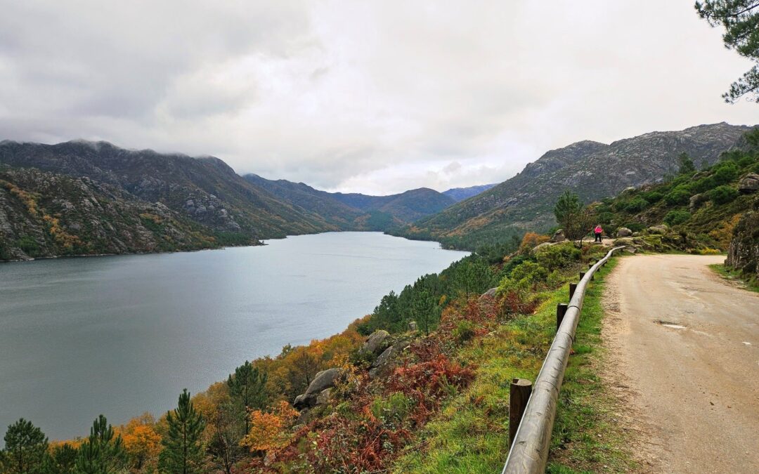
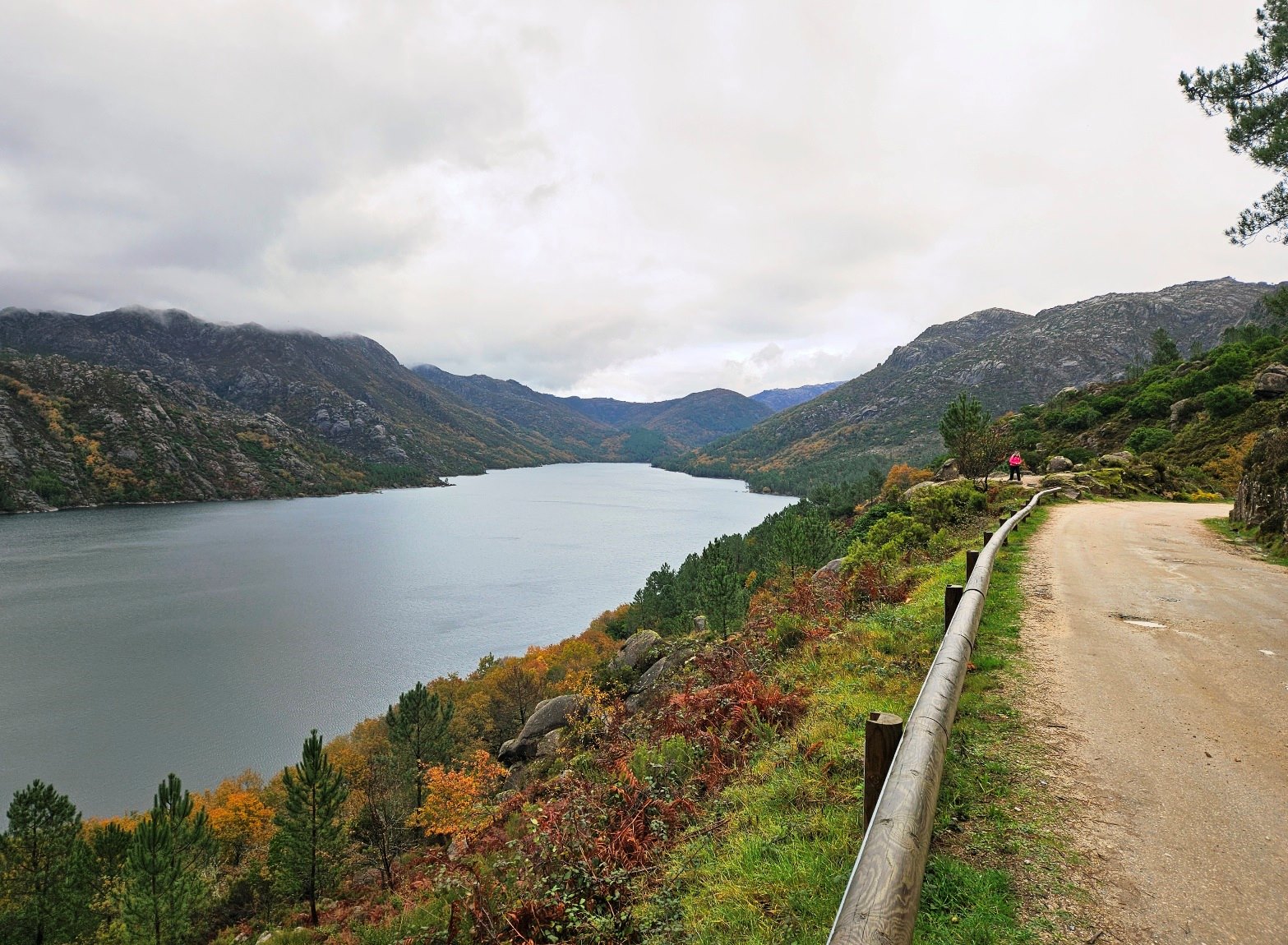
At this junction you will have a first view of the vast expanse of water created by the Vilarinho das Furnas dam; the Homem river fills the valley.
The track runs along the right bank of the river/reservoir, high above it. It’s around 10km to reach the border.
The views over the mountains are terrific, although they were shrouded in cloud when I was there. It’s easy, pleasant walking, following the waterway along the forested route.
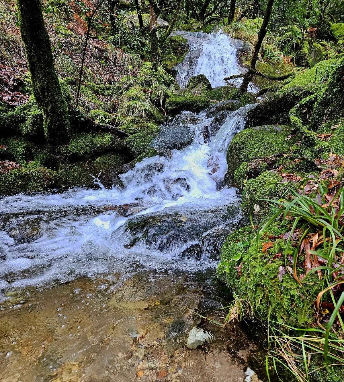
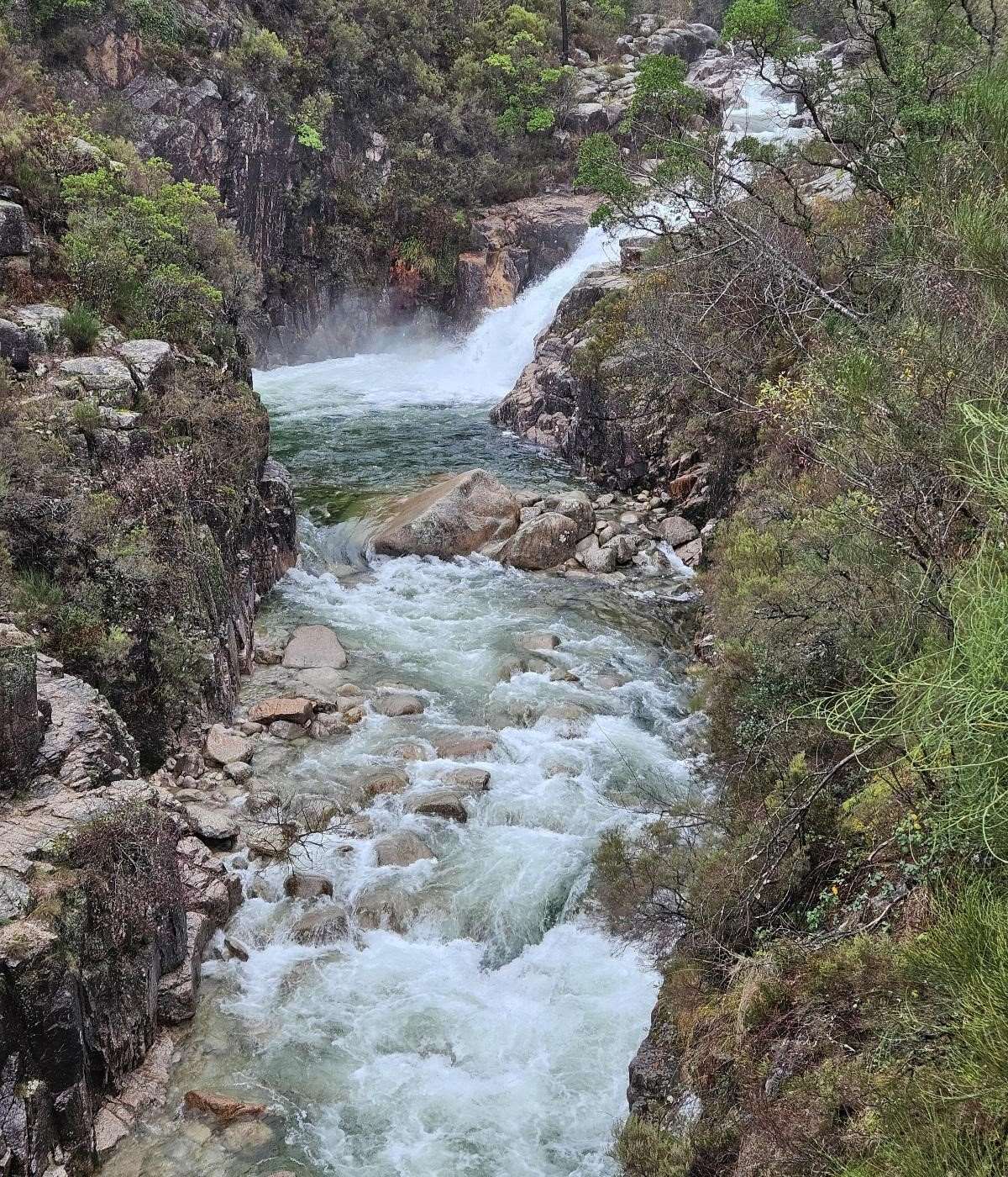
At various points streams come crashing down from the summits, passing under the track.
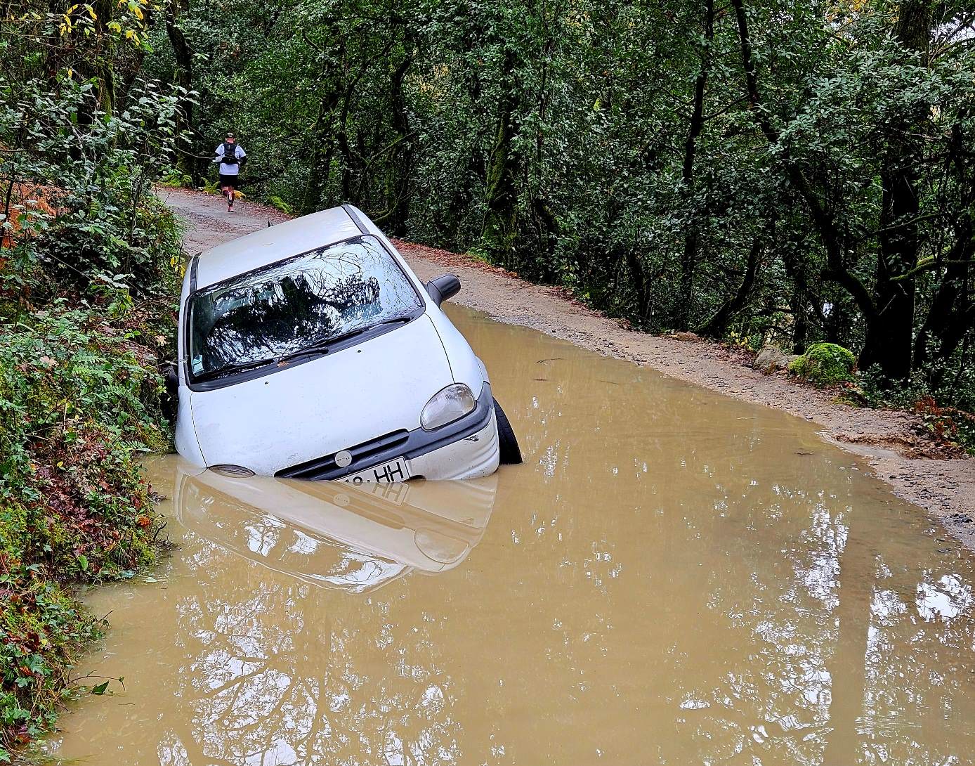
Recent heavy rain had left floods at a couple of points. This didn’t present a problem to walkers; but a driver had been caught out by the depth of the water and the car had sunk (see photo below).
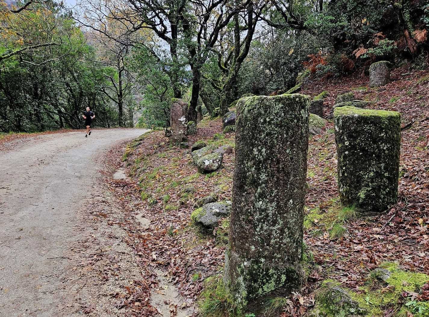
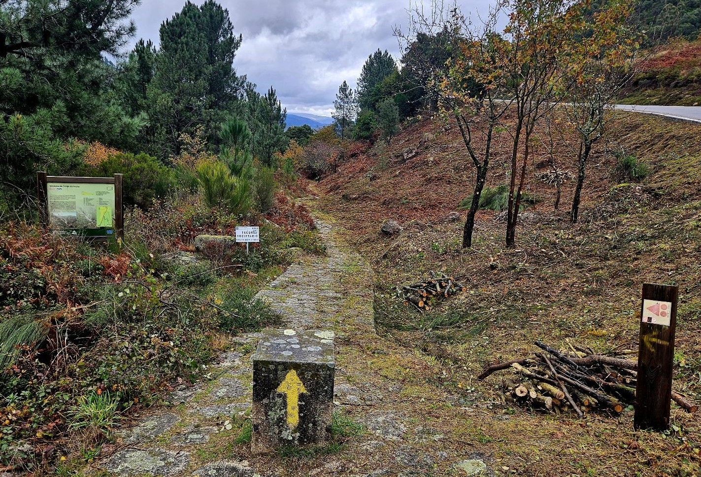
The ‘camino’ is still following the Geira, and Roman milestones appear nexten route. The track begins to swing to the right and passes another ironwork of a Roman soldier.
Stone paving is introduced for a short-ish ascent to a road/lane, the N308-1. It’s a left turn to follow the road up to the border.
On this last section I had turned off the ‘camino’ route because it started raining again and the streams had turned into torrents in this area.
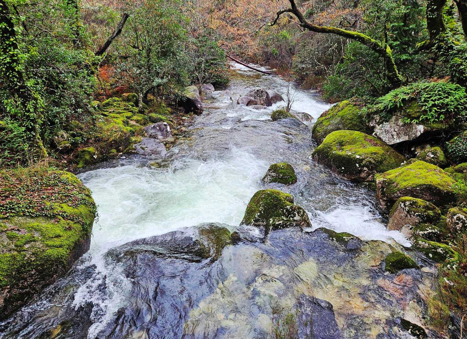
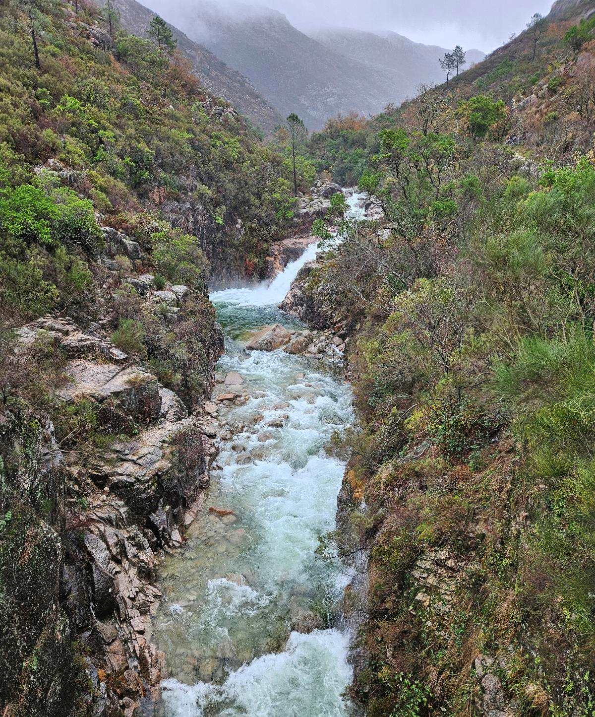
On the ascent to the border, the road crosses the nascent Homem. There is a fantastic view of the river from the bridge. It was thundering down the mountainside and the sheer force of the water was a spectacular and unnerving sight.
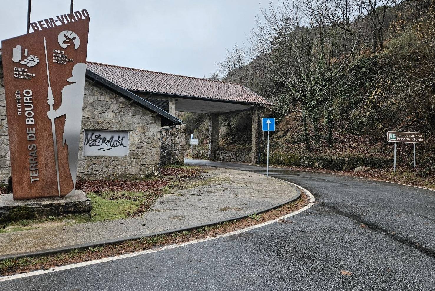
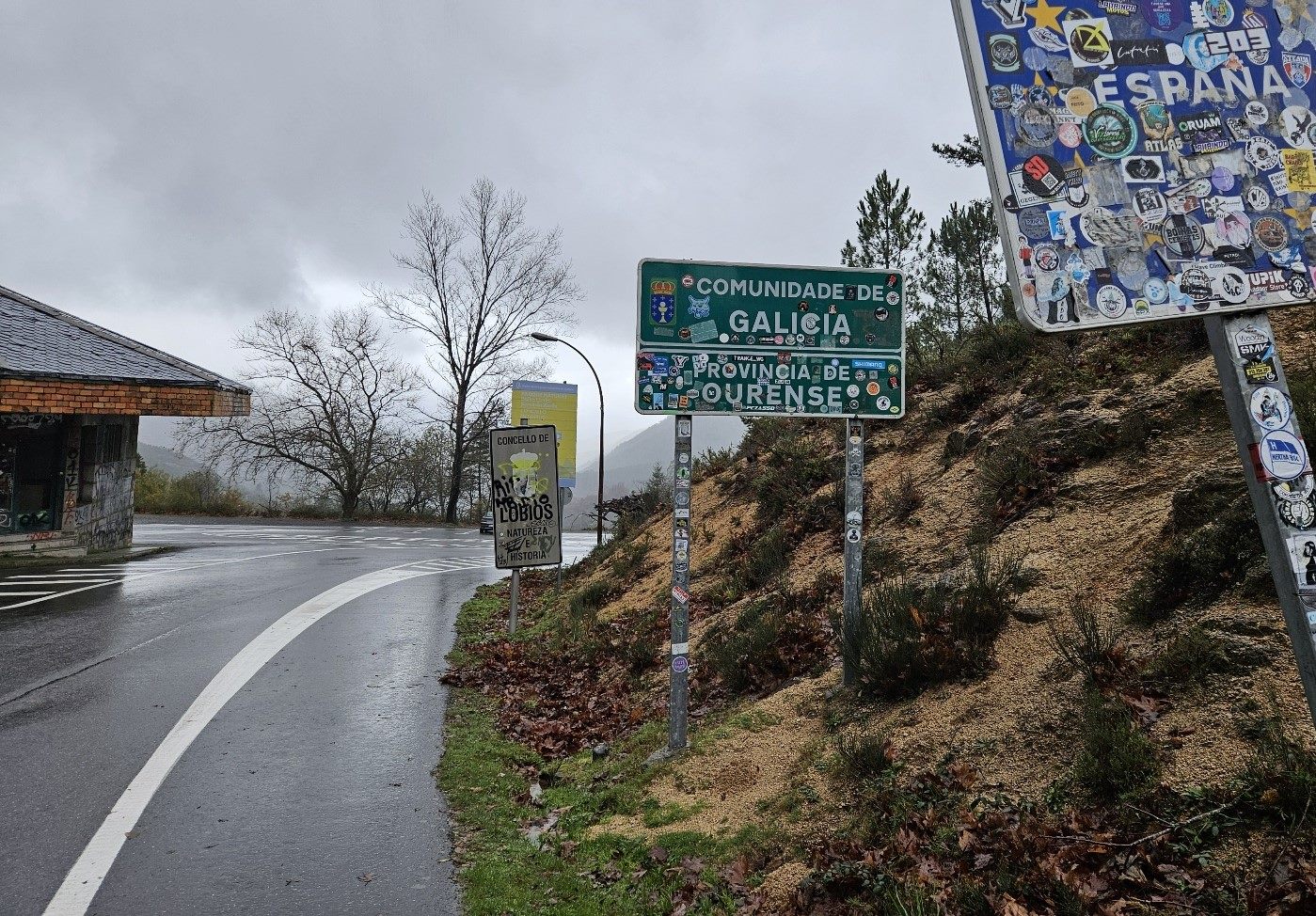
The road reaches the empty border posts, with the frontier now only a line on a map. The Portuguese side has been well maintained but the Spanish one is covered in graffiti and may have been squatted at some point.
With the weather closing in again, I sought shelter under a roof to eat some lunch before descending the valley.
The route on the ‘camino’ looks an enjoyable one, and I flirted with it at the start. However, as soon as the track turned into a path I feared a repeat of the previous day’s escapade with uncrossable streams blocking the way.
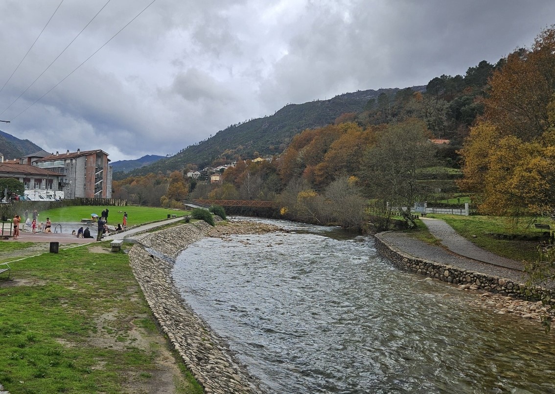
This meant I switched onto the nearby road and descended to Os Baños on the OR-312.
Around 3.5km from the border, the road and the Camino da Geira e dos Arrieiros meet at a bridge crossing the River Caldo, where Roman milestones are also situated.
The ‘camino’ descends to Os Baños along the right bank of the river and the road follows the left bank.
The official route for stage 3 doesn’t stop in Os Baños, but continues another 5km to Lobios. However, I found there was more accommodation available in the spa village.
I stayed at the As Termas pension, making the reservation via booking.com It’s quite basic but perfectly adequate, standing next to the river.
More luxurious rooms can be found just up the road at Lobios Calderia Hotel Balneario, which has its own spa. Rooms can be reserved via booking or at their website www.calderia.es
There is a hot spring in the village, on the banks of the river. It’s a popular spot and you need to don swimwear in order to take advantage of this free facility

Recent Comments