
After a night in Spain, it’s back to Portugal on the fourth stage of the Camino da Geira e dos Arrieiros. But it takes a while to get there.
My route from the spa village of Os Baños to Castro Laboreiro was approximately 26km, with around 800 metres of ascent.
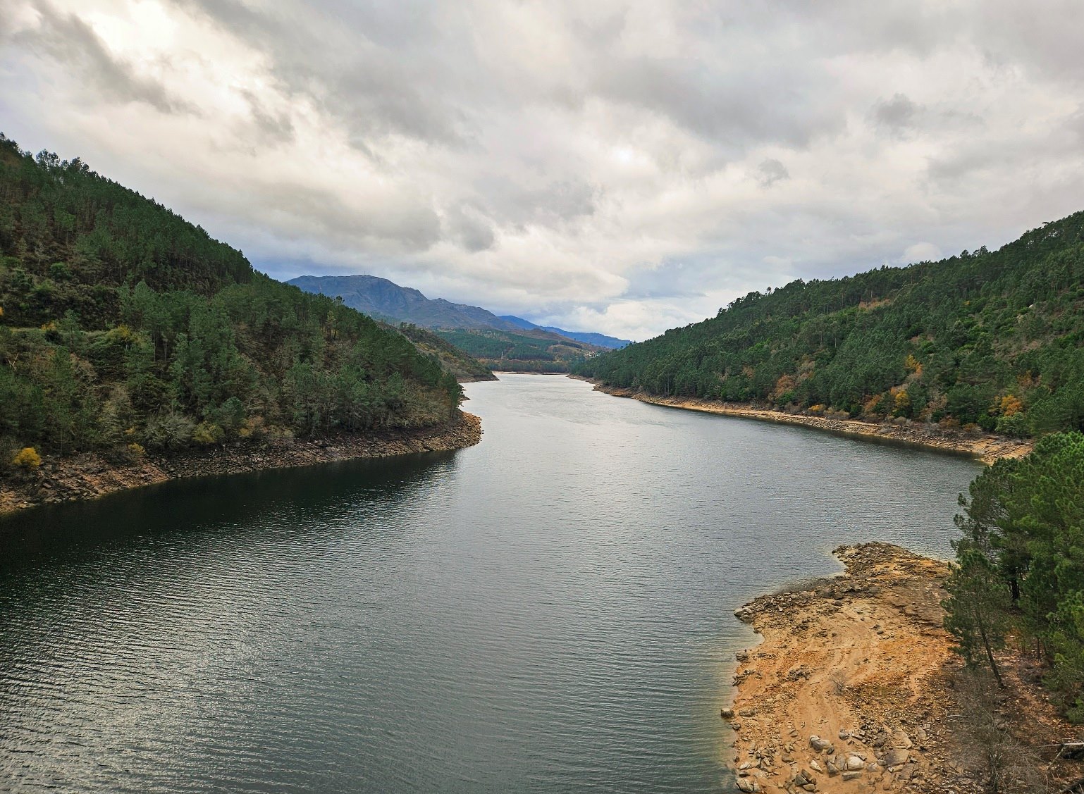
The dramatic landscape of the mountainous frontier zone, with its weird and wonderful boulders, is the main highlight of the stage. Unfortunately, the summits were cloaked in cloud when I passed through, with heavy rain closing in once again.
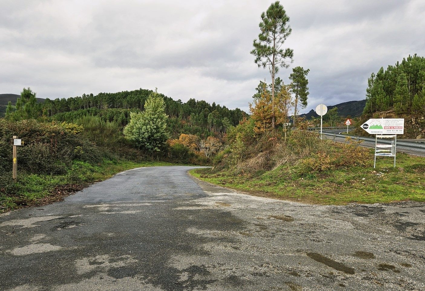
I left Os Baños on the OR-312 and followed the road for around 1km to the village of Vilameá.
Turning right into Vilameá, I picked up the Camino da Geira e dos Arrieiros in the centre of the village; signs point left for the Virxe do Xurés chapel and it is also the ‘muiños’ (water mills) route.
The lane turns into a track and crosses an attractive stone bridge (pictured below).
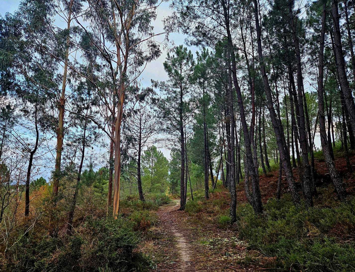
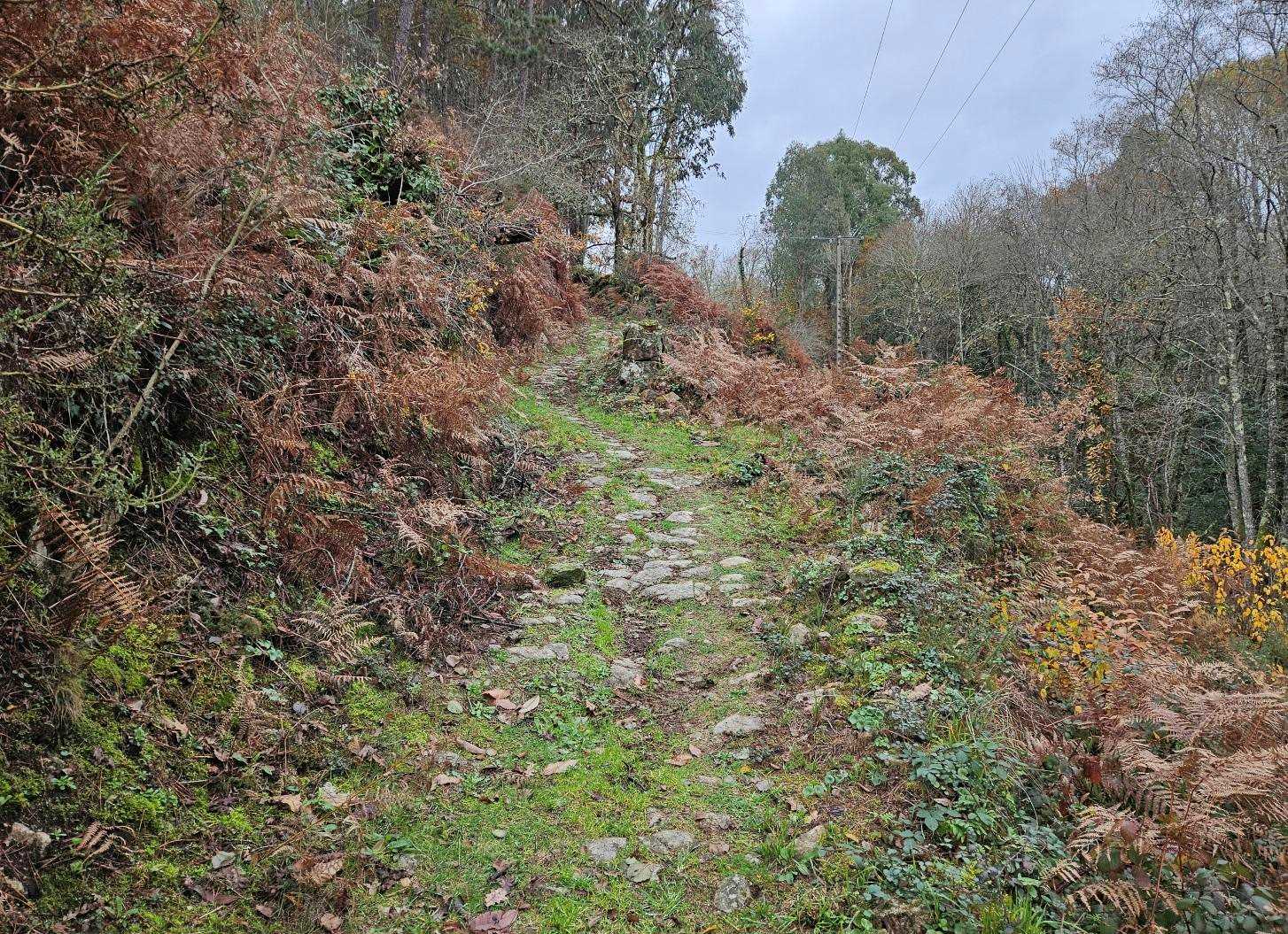
The route ascends through the trees, when it bears right there is a yellow arrow pointing the way. Gaining height, there are expansive views over this mountainous area.
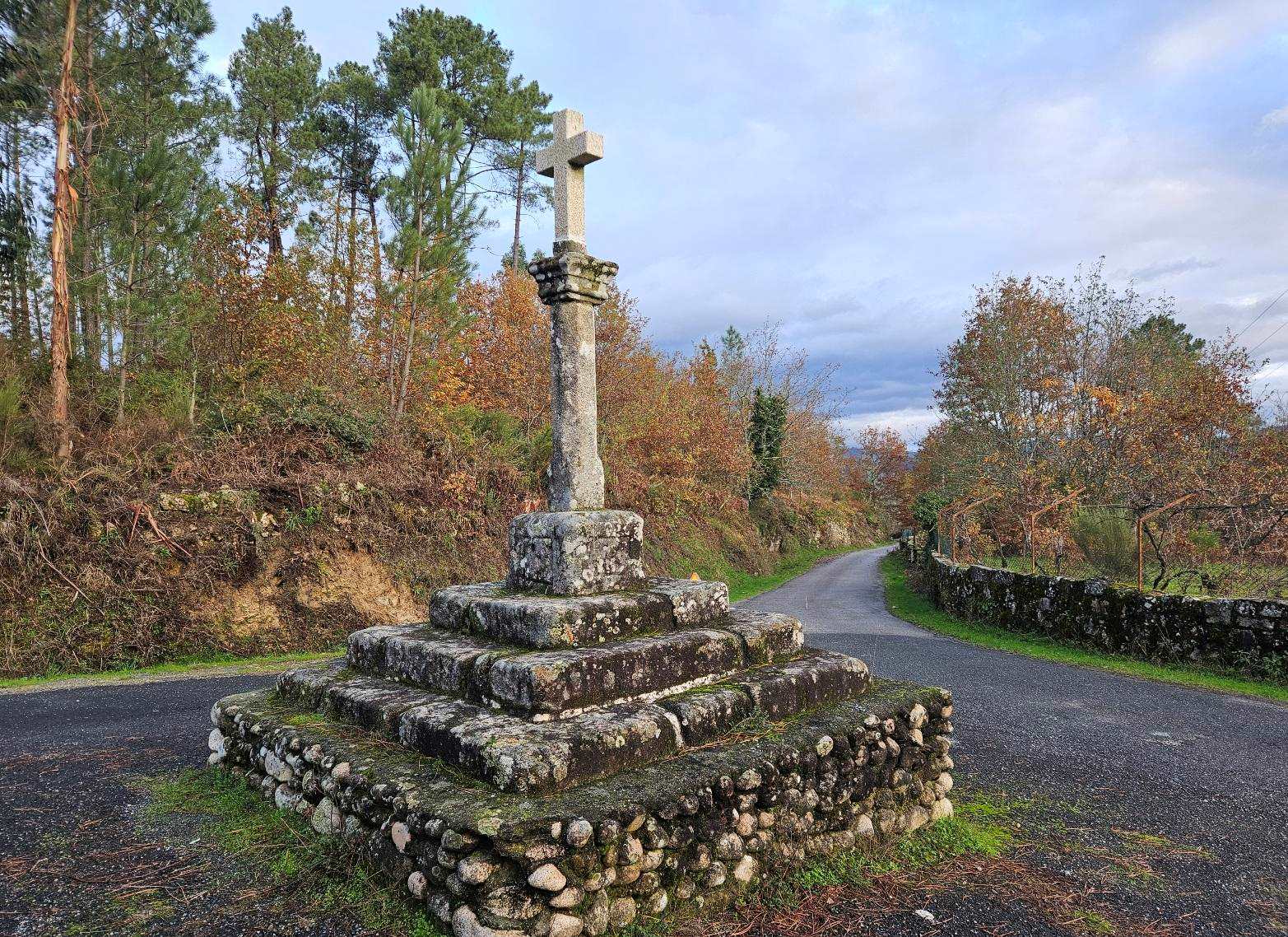
The track goes down to the road, which we cross, to take the surfaced lane on the other side in the direction of Cimadevilla. Almost immediately a large ‘cruceiro’ cross can be seen on the right.
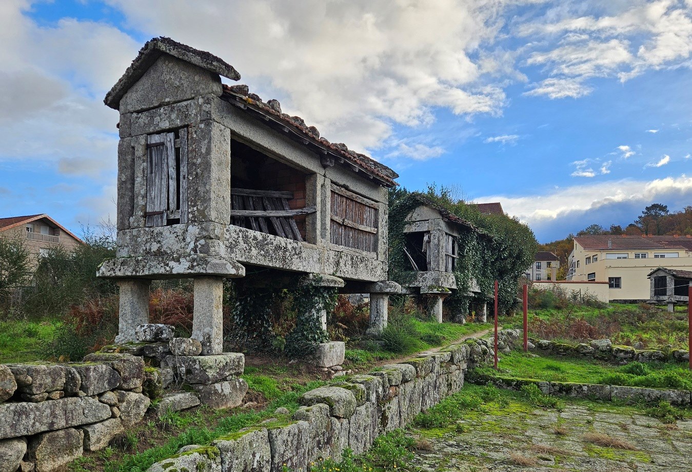
Walk to the cross and bear right to follow the lane for just over 1km down into Lobios. Head through the narrow, old streets, passing the ‘hórreo’ granary stores on stilts which are hallmarks of Galicia.
The Estrada de Pazos street leads to a junction; our route bears left onto the OR-312 road, passing the bus stop (anyone wanting breakfast or refreshment should turn right and walk around 30 metres to the Lusitano hotel, which does good food and has rooms too).
After passing the bus stop, the route follows the OR-312 for just over 1km to a junction. Bear right (heading towards Ourense) to cross the bridge over the wide River Limia.
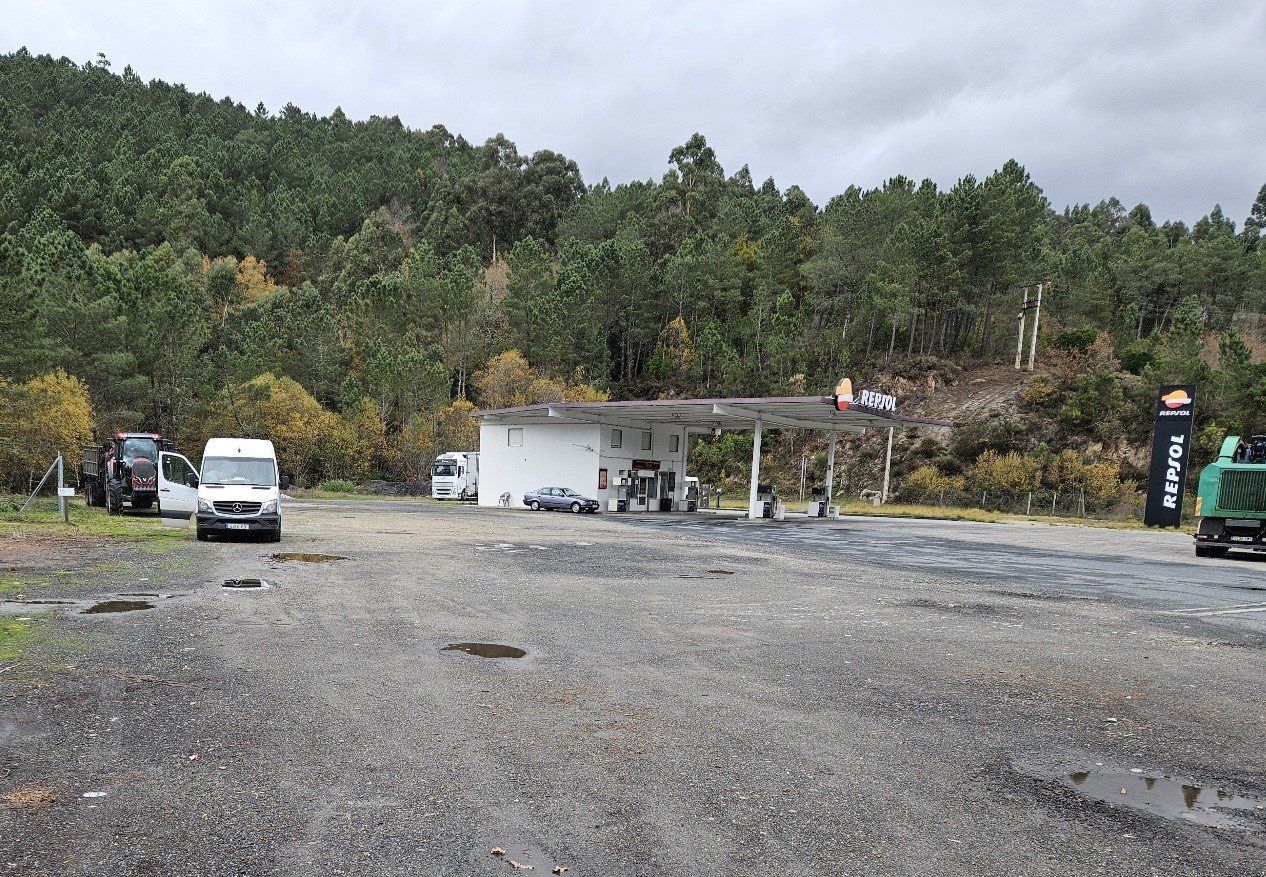
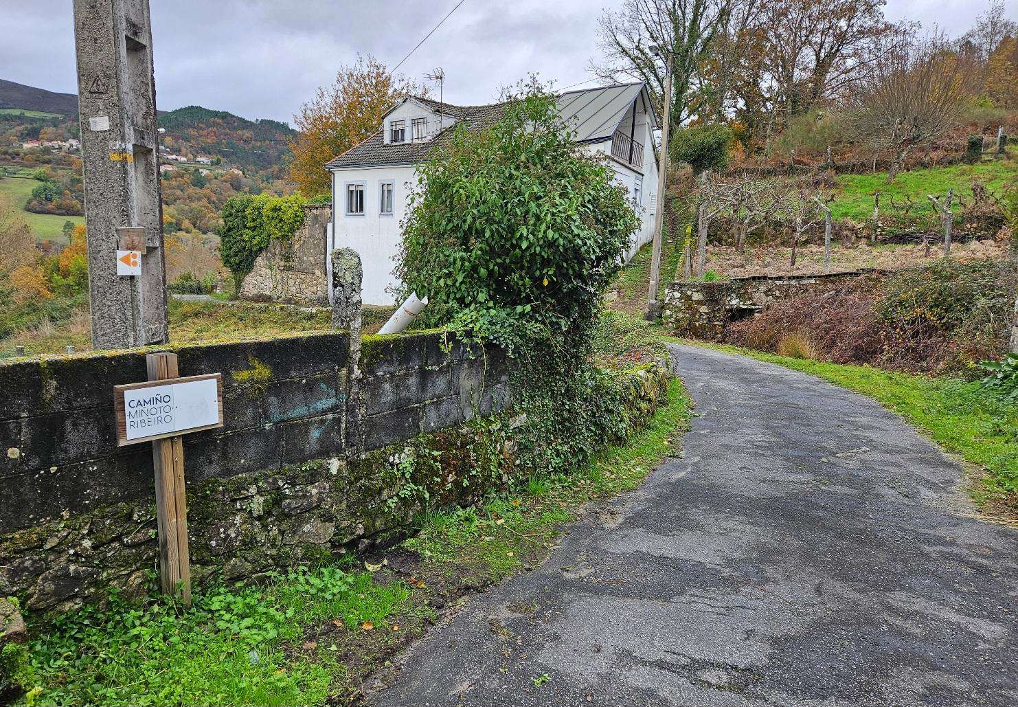
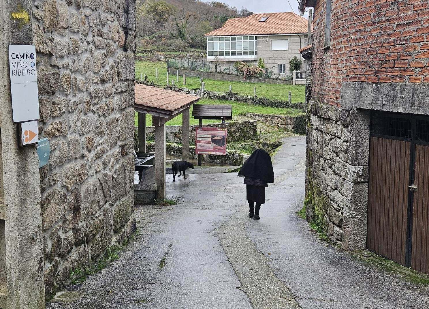
In 250 metres reach the Repsol service station. Turn left to enter the station compound and walk to the left the service station. A path heads into the trees, marked as Camiño Miñoto Ribeiro.
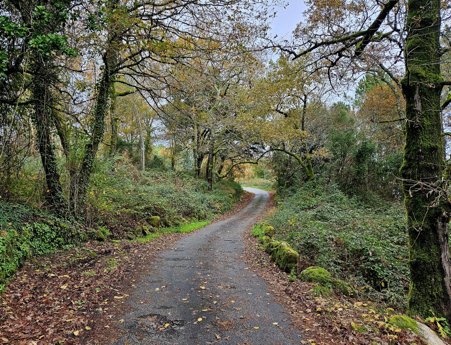
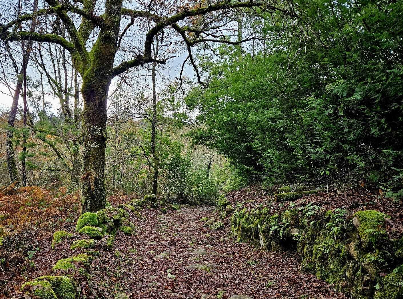
Our route ascends through the trees. It reaches a road. Cross it and continue on the lane straight ahead.
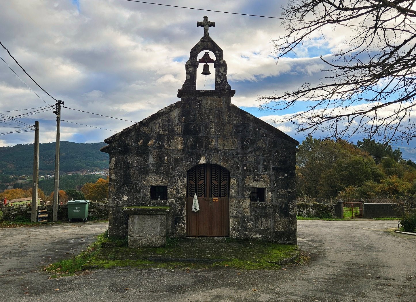
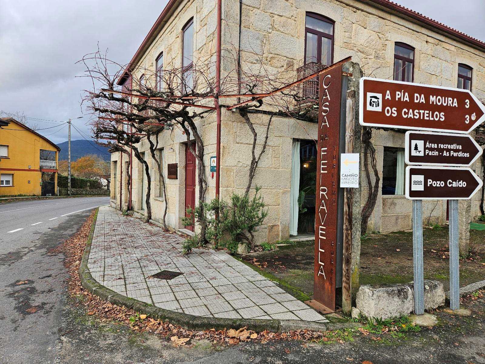
In around 400m walk past the chapel and continue into the village of A Feira Vella. At a junction keep straight on, passing the Casa da Feiravella and descending on the OU-1212 road.
At the bend, notice the yellow arrow and bear left to take the track, which passes over a footbridge.
The ‘camino’ goes uphill and emerges a short time later at the hamlet of O Casal. Then it follows the OU-1212 road for around 1km to Entrimo, heading through the small town.
Keep on the main road, passing the large church. Around 350m after the church, bear left on the descending lane. After 300m cross a stream, and turn right onto the ascending path. Next, it’s downhill to the houses.
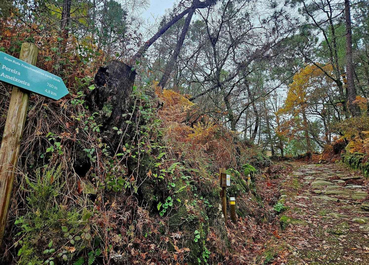
A lane descends from the houses. Then over the next 4km there is around 350 metres of ascent to reach the village of A Pereira; this is a very pleasant section, crossing an old stone bridge, and then starting the climb.
It is very green and suddenly the signage improves dramatically, pointing for A Pereira on the Trans-Frontier Gerês-Xurés route.
The route follows an old track which climbs up to the village.
Part 2 follows


Recent Comments