
As I went through the village of A Pereira the rain started again; it was to continue for the next 20 hours, becoming torrential during the afternoon, night and following morning.
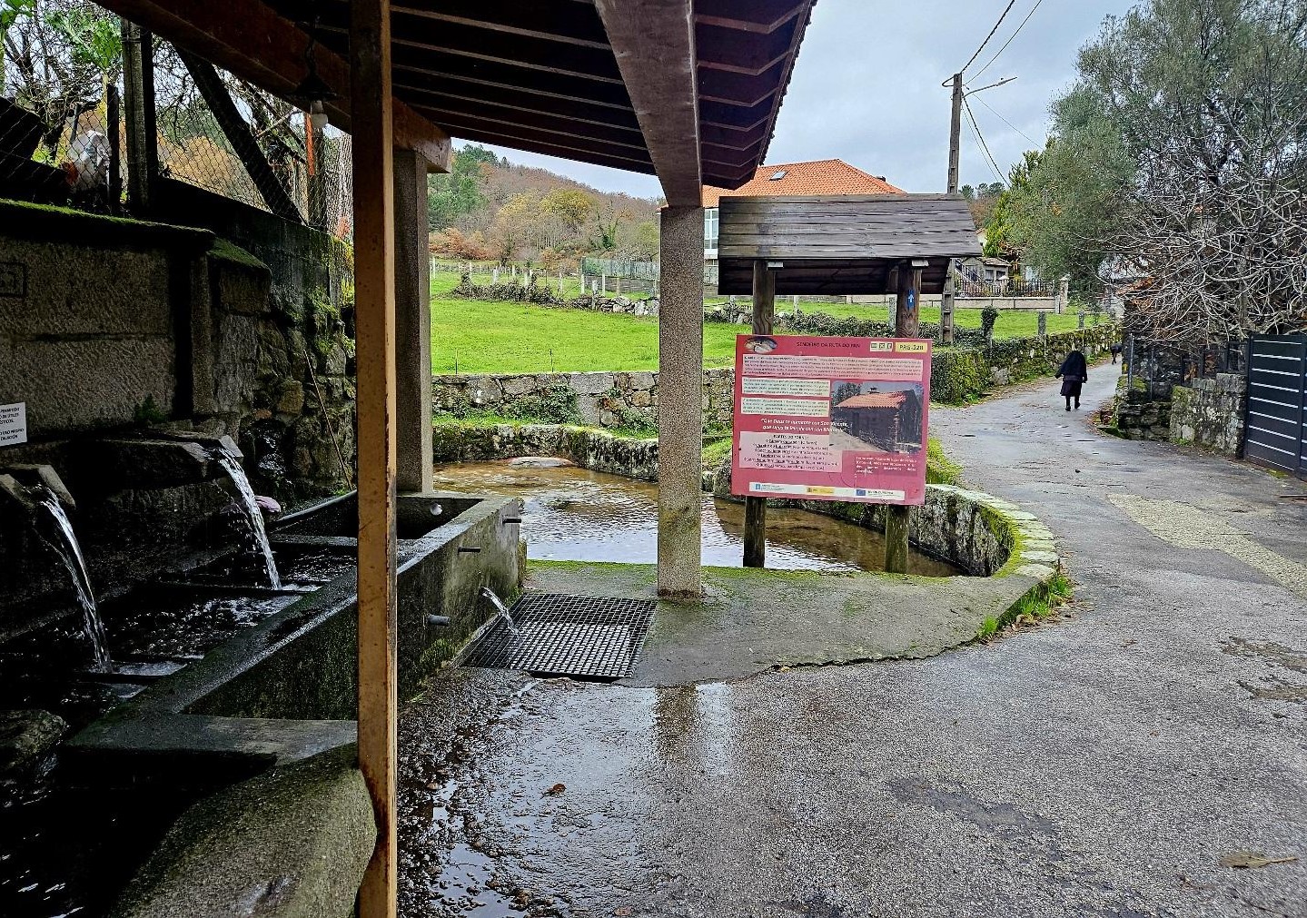
In the village I passed the old washhouse and shared a greeting with an elderly resident who was out walking in her slippers with a coat over her head, dog trotting along in front of her.
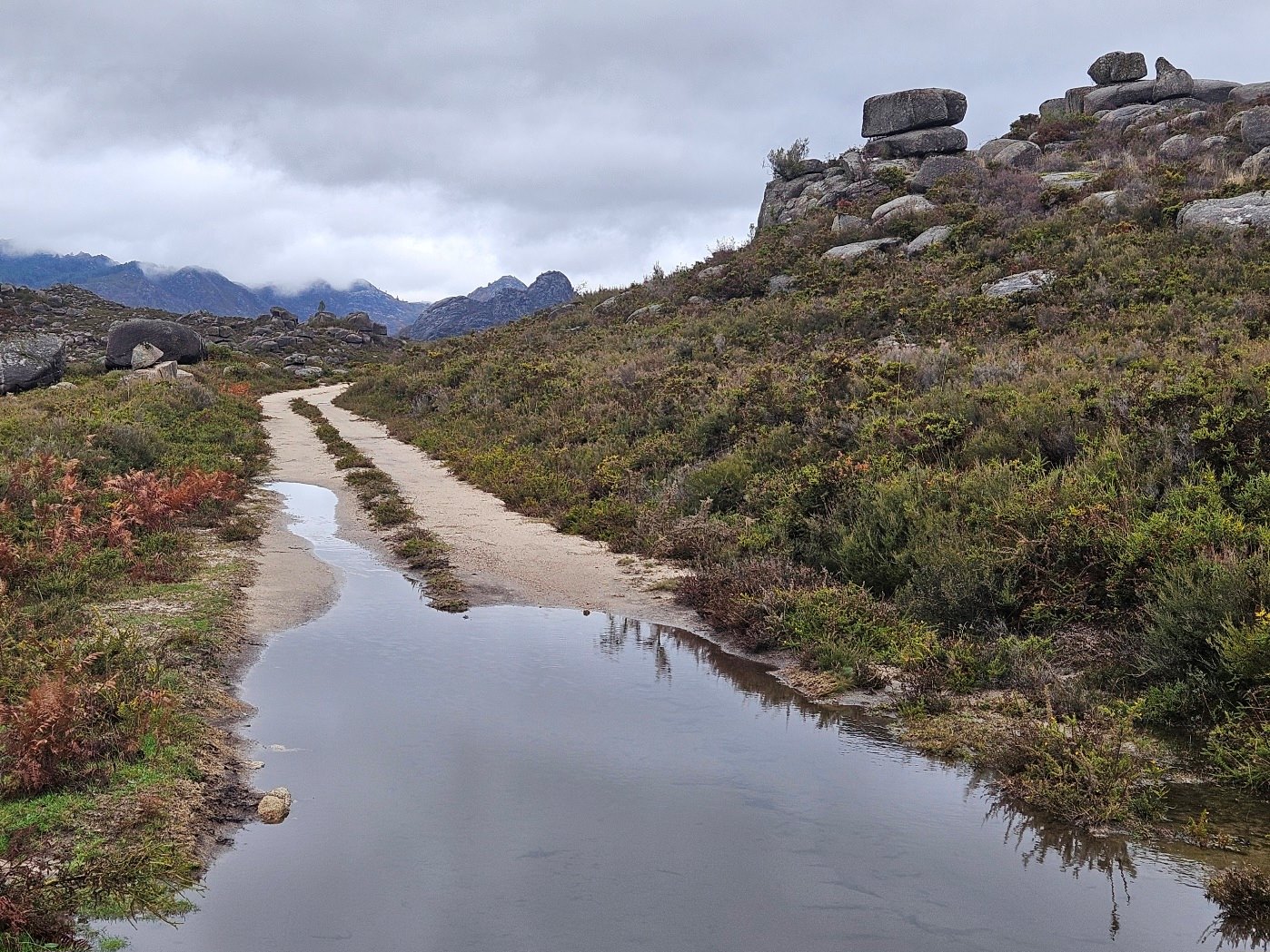
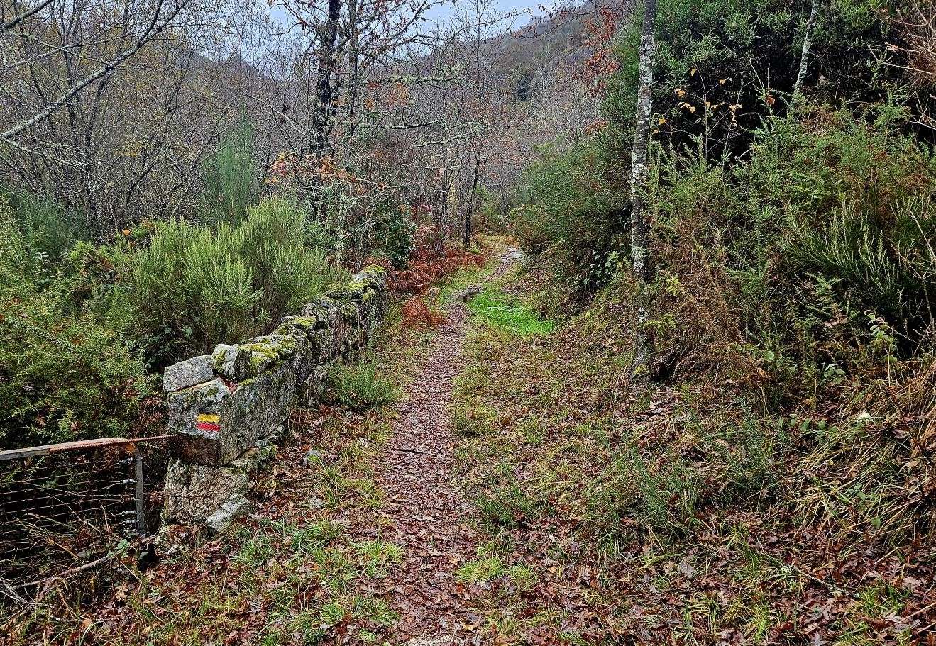
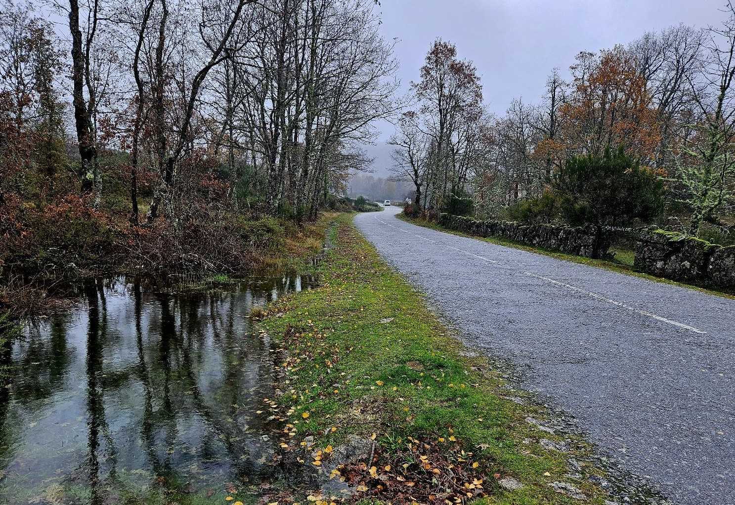
Leaving A Pereira the track became flooded, a running watercourse in some parts.
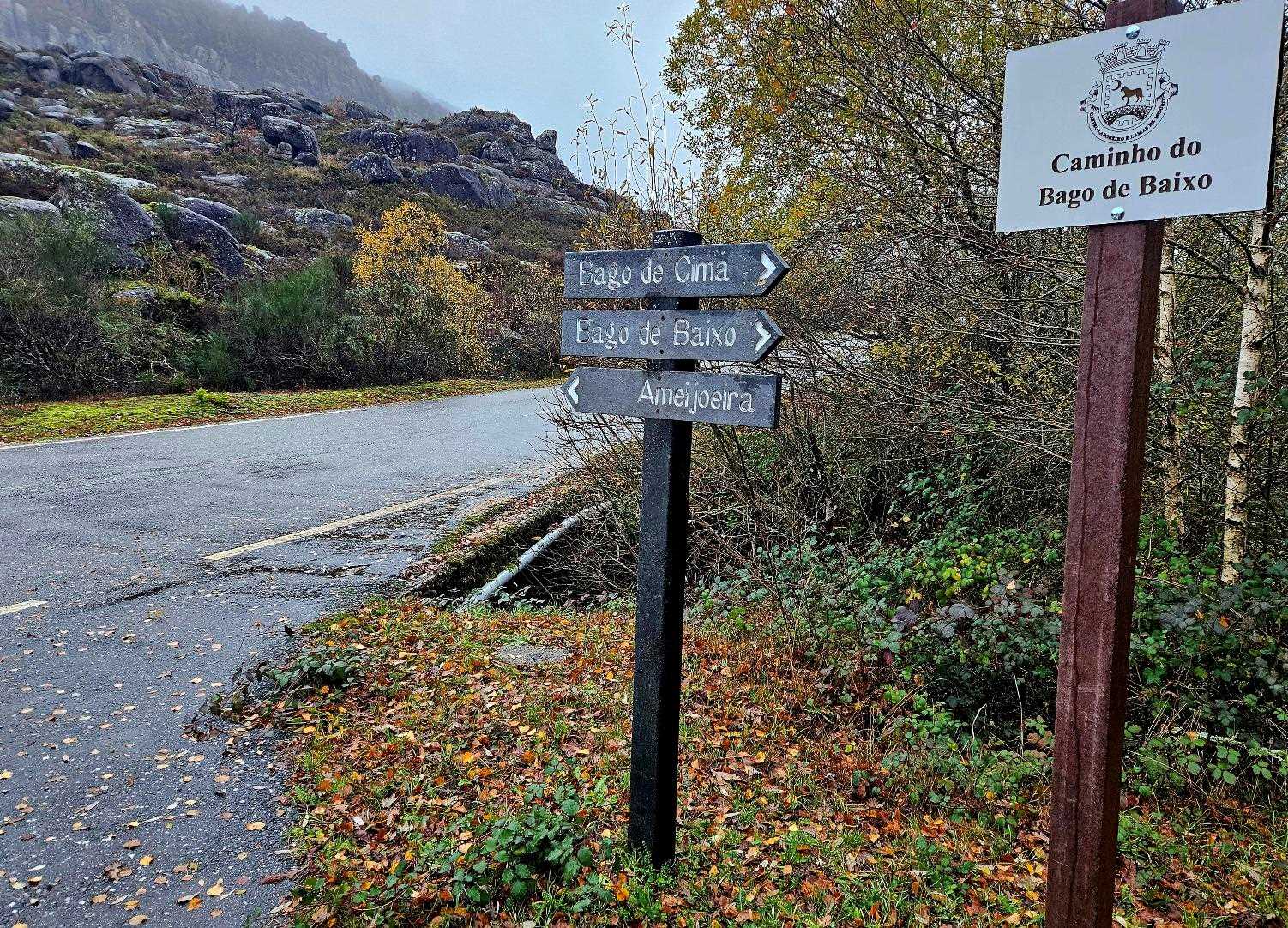
Signs on the Trans-Frontier Gerês-Xurés route point for the border village of Ameixoeira, which is 4.1km away, and in Portugal.
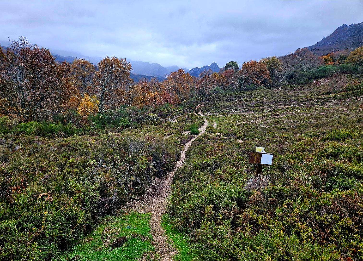
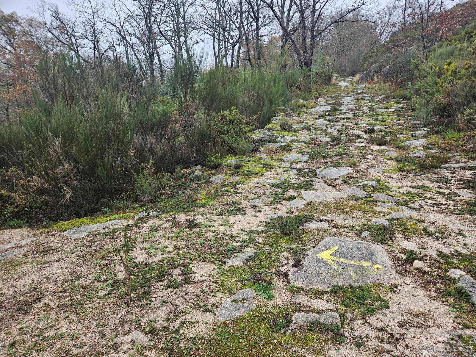
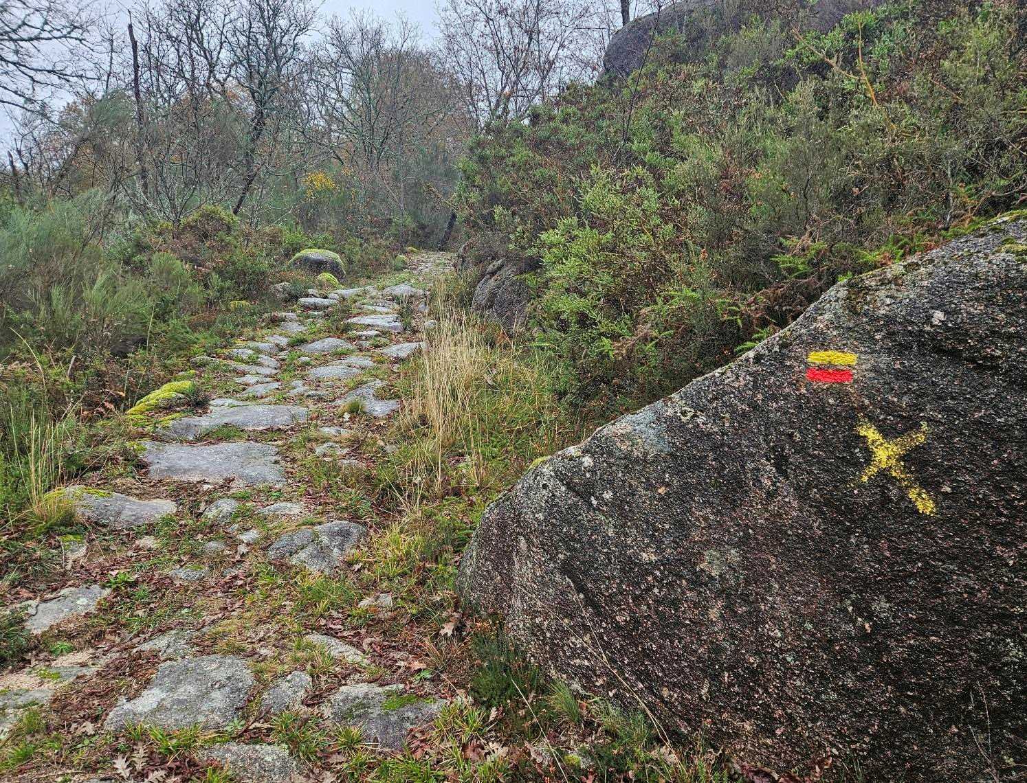
The route continues along the old track, ascending. As it flattens out, the walker emerges in an amazing primordial landscape.
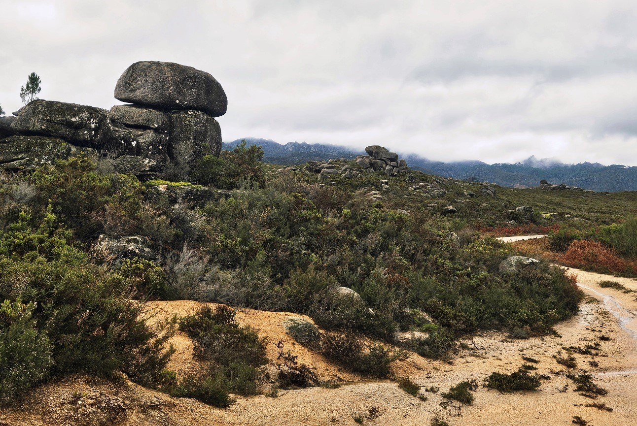
It looked like an Iberian version of Dartmoor; at an altitude of 800m.
The piles of huge rounded rocks are fascinating and eerie. The mountains cloaked in low cloud took on a forbidding aspect. I could only wonder what this area must look like under clear skies.
A sandy track crosses the ‘moorland’. It turns into a path as it starts to descend just before reaching the border.
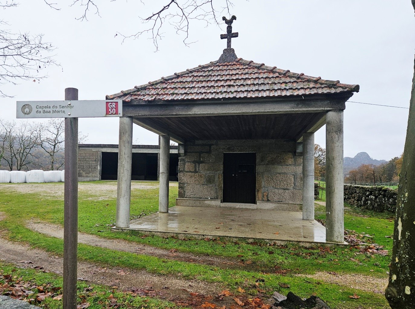
The path crosses the frontier, although there is nothing to mark it, and reaches the chapel at Ameixoeira (Ameijoeira in Portuguese).
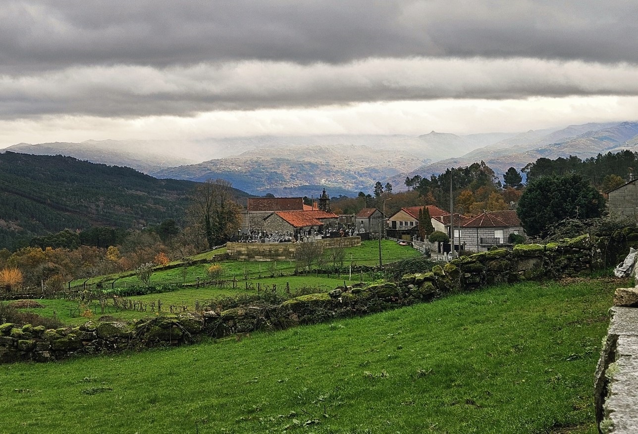
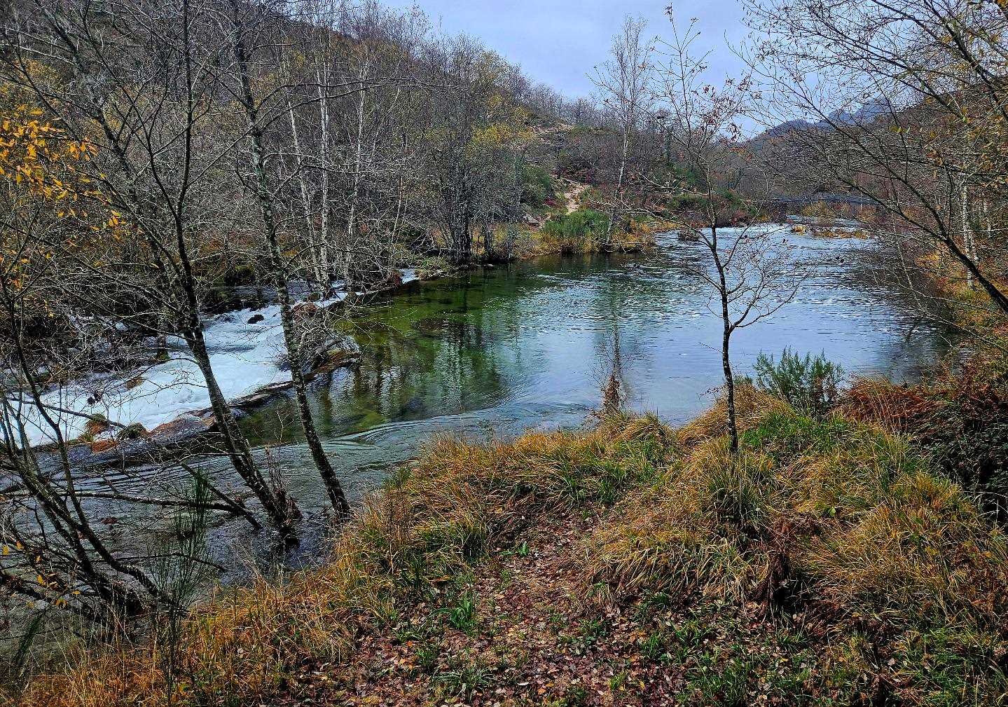
The route passes on the right-hand side of the place of worship and continues to descend, emerging at a river and heading along the right bank. Soon the path starts to move away (right) from the river, ascending gently.
On the climb I came to a junction, where it was decision time. The ‘camino’ bears left to follow a path back down to the river and then runs along the floor of the Laboreiro river valley, eventually crossing the waterway and ascending to Castro Laboreiro on a road.
With heavy rain falling and a river that looked like it was close to bursting its banks, I decided not to go down to an area which could well be flooded, and opted to take a higher road to Castro Laboreiro.
It was very frustrating because this area is inside the Peneda-Gerês national park and is undoubtedly extremely beautiful. However, the very low cloud and rain obscured the views.
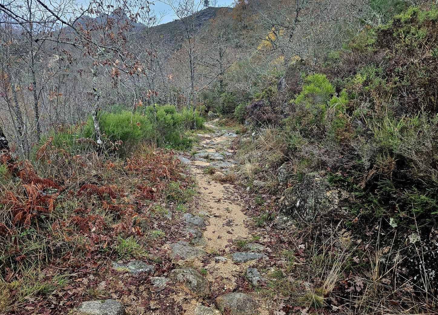
I continued up the track, now following yellow/red waymarks along an old stone way.
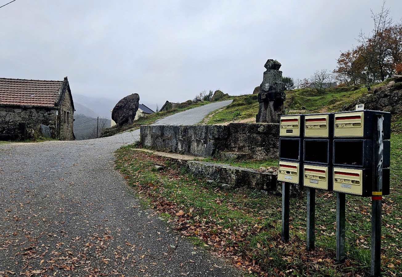
It reaches a hamlet, where I took shelter to eat some fruit and gird my loins for the last few kilometres.
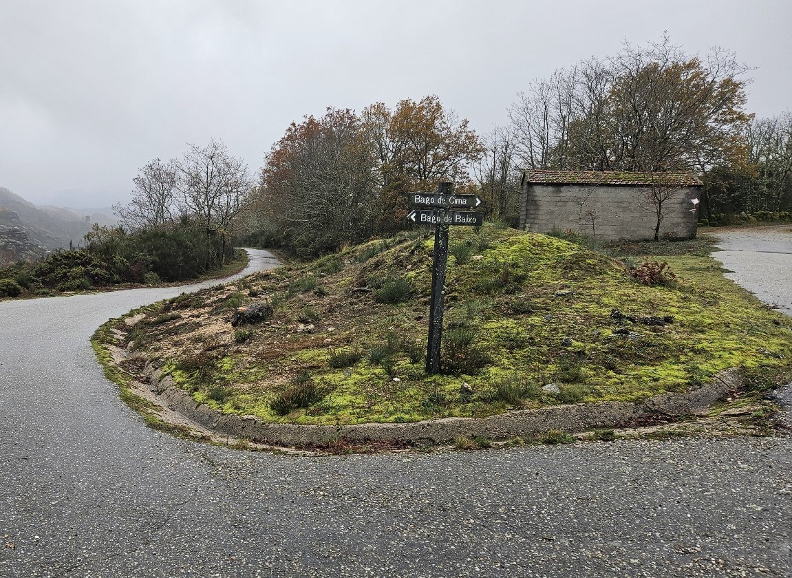
From the hamlet, a lane continues to ascend. Then I was bearing right for Baga de Cima; and then following waymarks along the lane.
The lane reaches a quiet road. Bear left. The road runs past Bico and bears round to the left to reach Castro Laboreiro, which stands at an altitude of 950m.
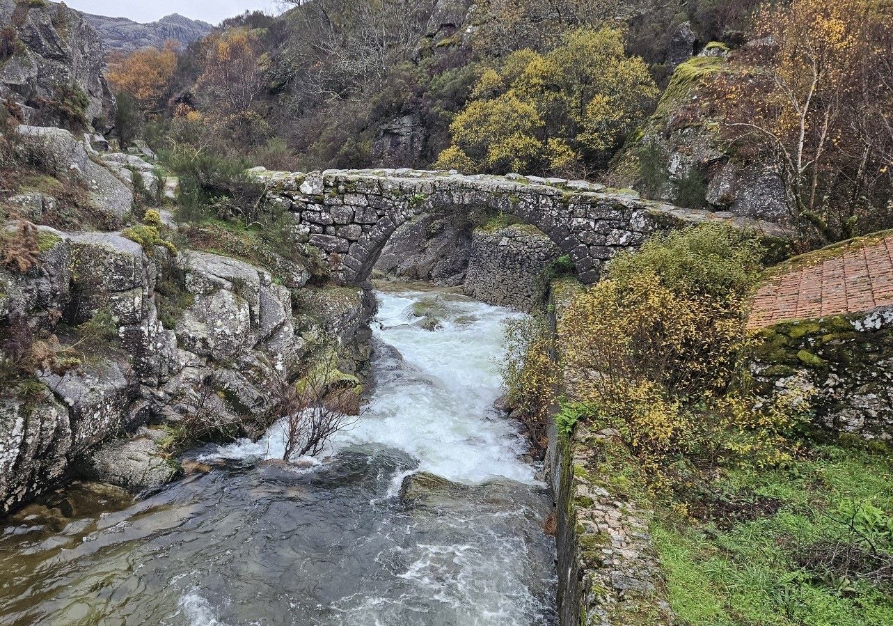
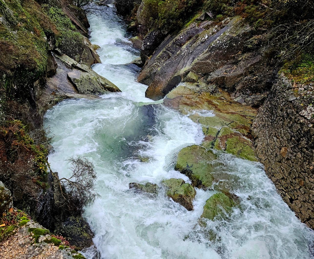
Walking into the village, I had a look at the old footbridge over the River Laboreiro, where the water was descending with incredible force.
I stayed at Hotel Miracastro, which I reserved through booking.com, but they have their own website www.hotelmiracastro.com
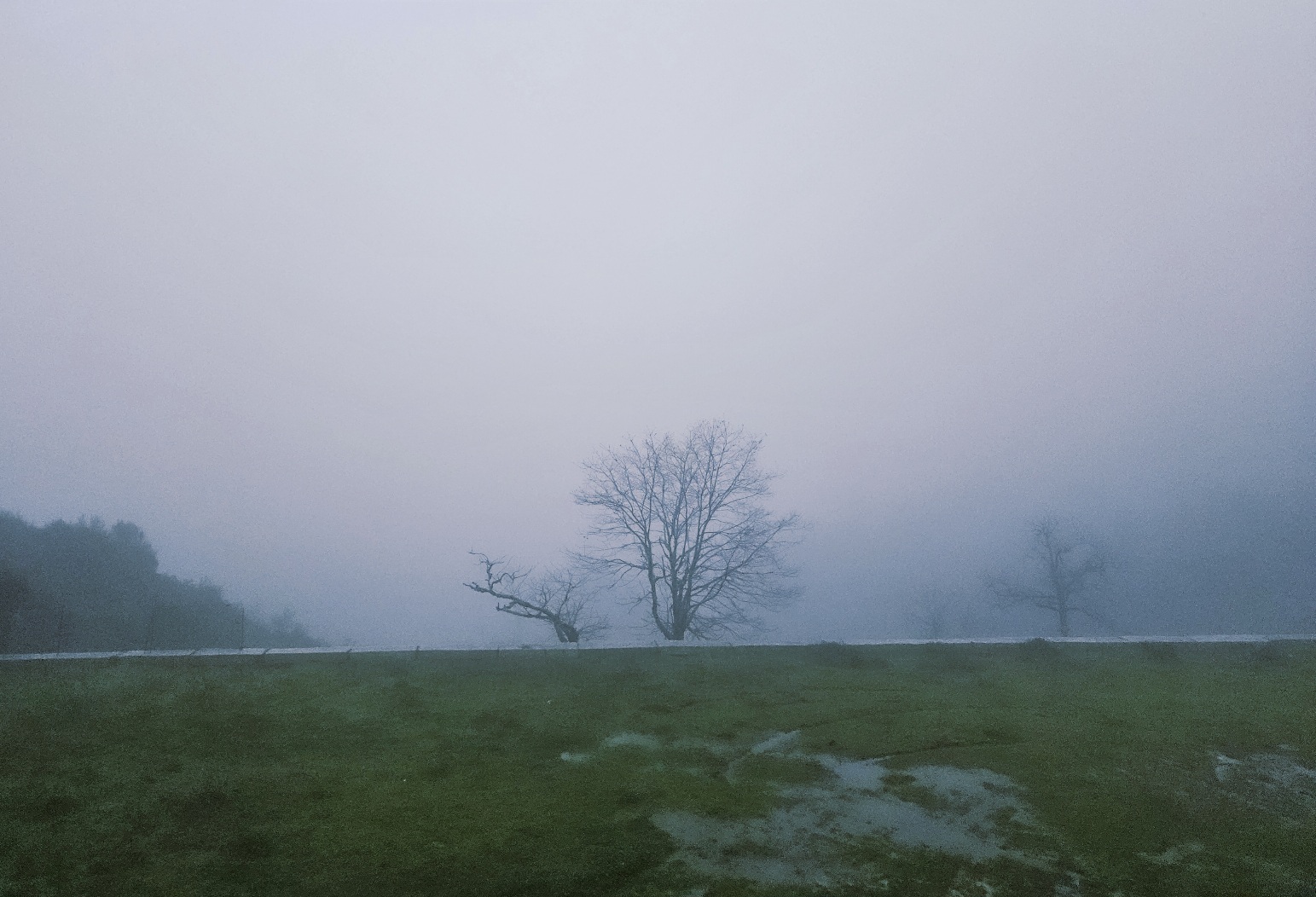
I was extremely glad to be there because the rain turned into a deluge, which continued all night and through the morning.
The hotel has comfortable, warm rooms which offer a view down the valley, which sadly I couldn’t see.
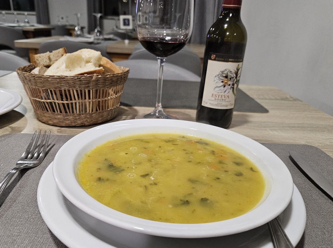
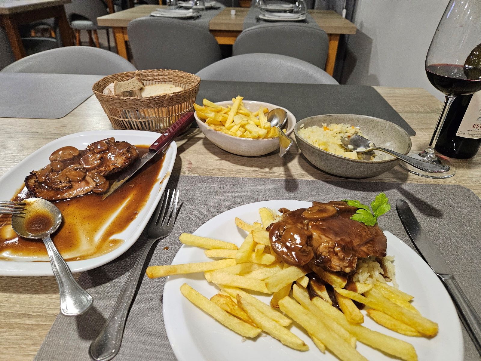
The food was terrific; I had a warming stew and a large plate of pork and mushrooms, rice and chips; I love the Portuguese custom of serving rice and chips, and also their half bottles of wine


Recent Comments