
Bear right at the church in San Cristovo and walk through the village on the lane. Just before arriving at the main road (OU-504) the ‘camino’ bears to the left; a large yellow arrow points along the lane.
The route comes to Rúa Oliveira, marked by a stone street plaque and single olive tree.
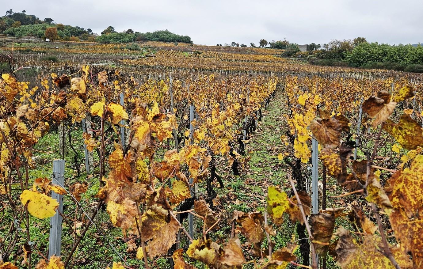
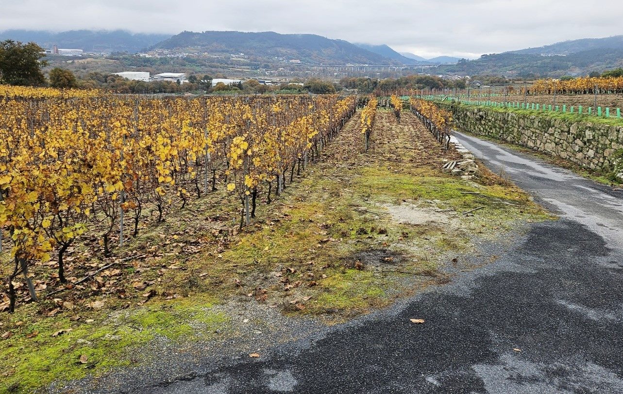
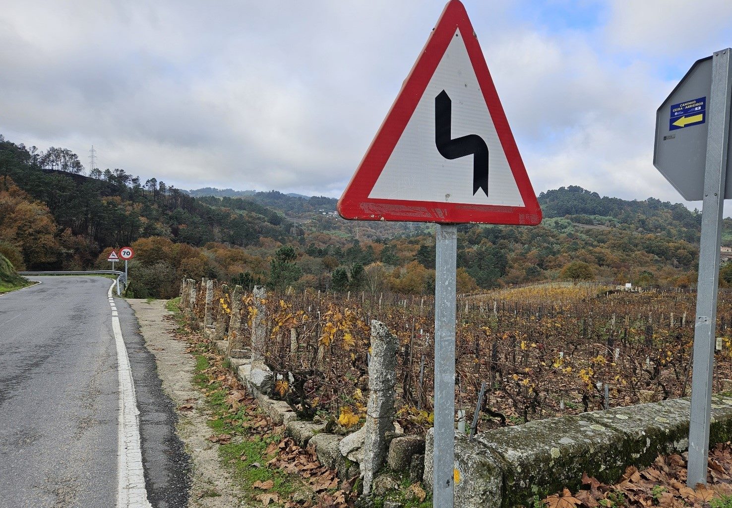
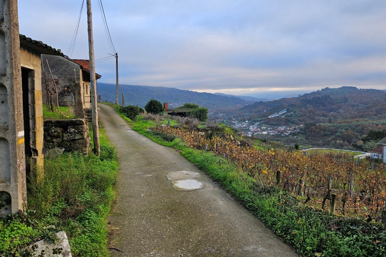
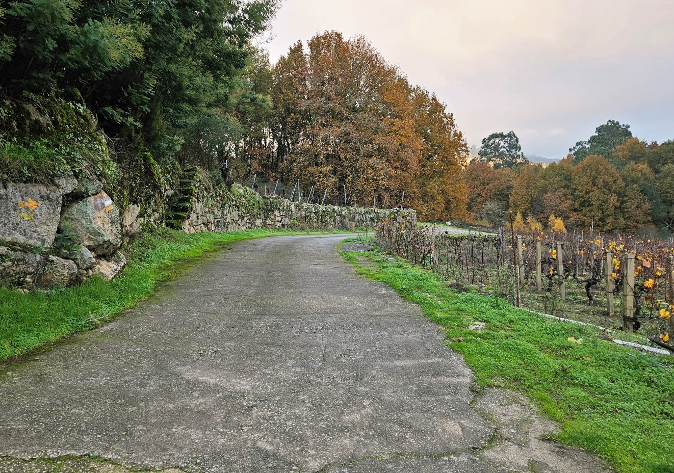
Ironically, this is the start of the vineyard route. The lovely lane continues straight on and winds its way through the Ribeiro vines.
As I walked next to the first of the fields, a viticulturist was carrying out an analysis with electronic equipment.
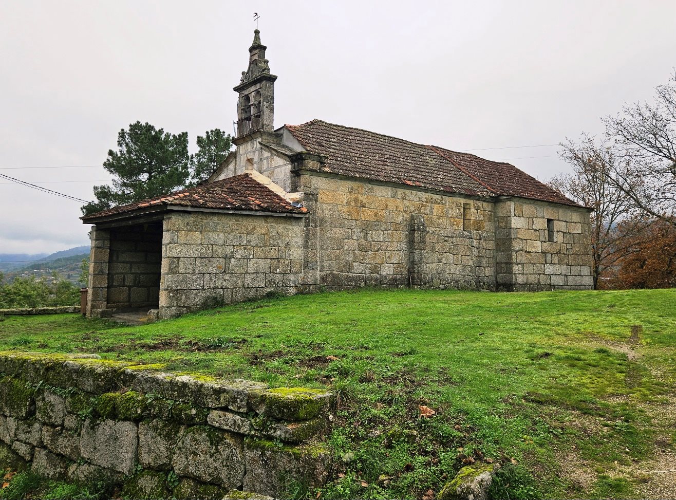
The lane ascends through many hectares of wine producing land and passes the Misericordia chapel before descending into the village of Beade.
The ‘camino’ passes through Beade and reaches the OU-212, next to the Santa María church.
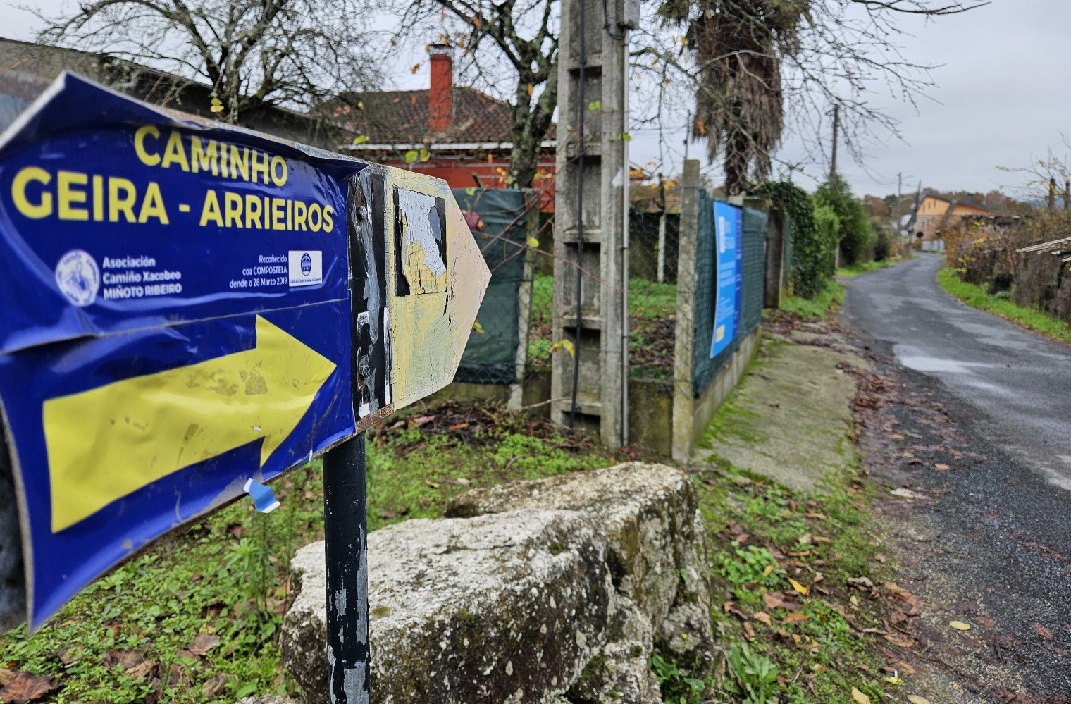
Bear left to walk along the OU-212. Next up is an arrow on the tarmac which is easy to miss (see photo below). It could be obscured by leaves.
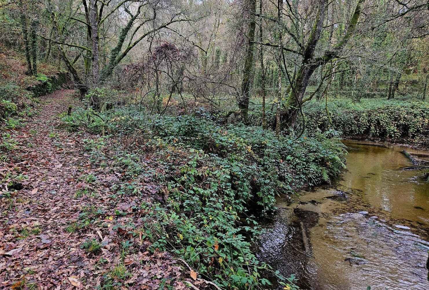
It’s a right turn off the road, as the ‘camino’ heads down a path into the trees.
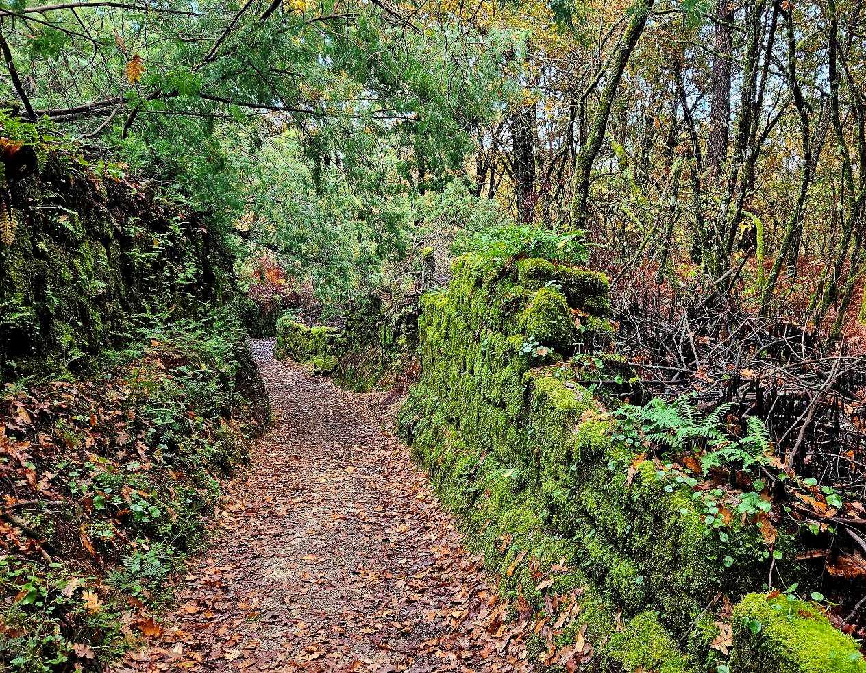
The route runs alongside a stream and then over a footbridge. Keep an eye open for yellow arrows on the mossy stone walls.
The track starts to ascend. It emerges at a road which runs up into the village of Berán.
Yellow arrows point through the village and on to the San Roque chapel.
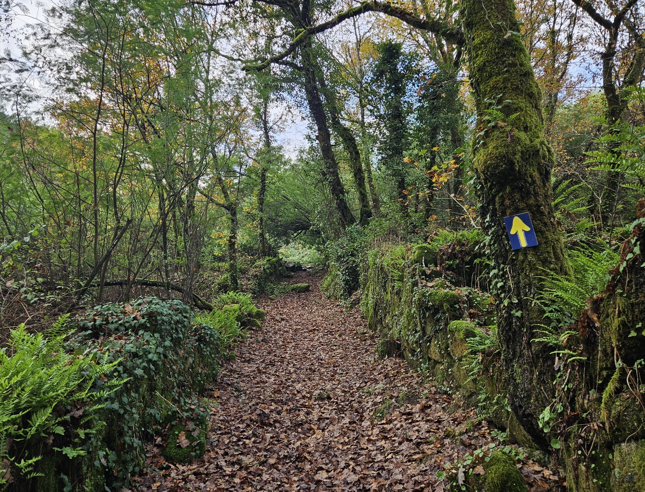
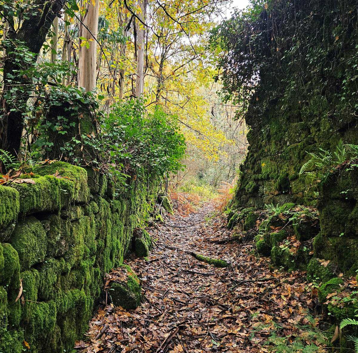
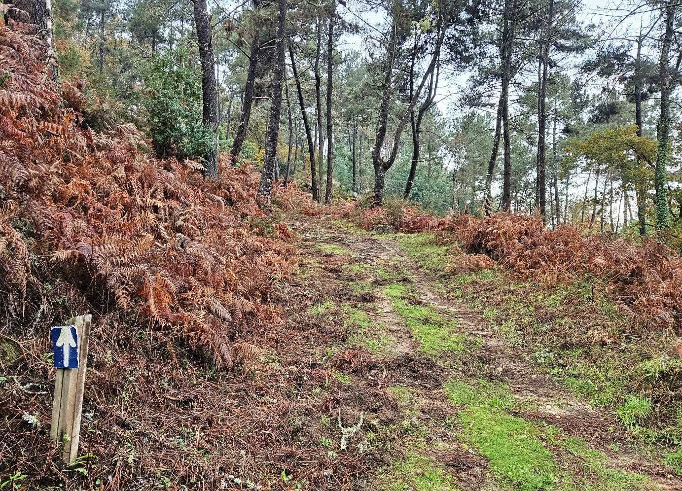
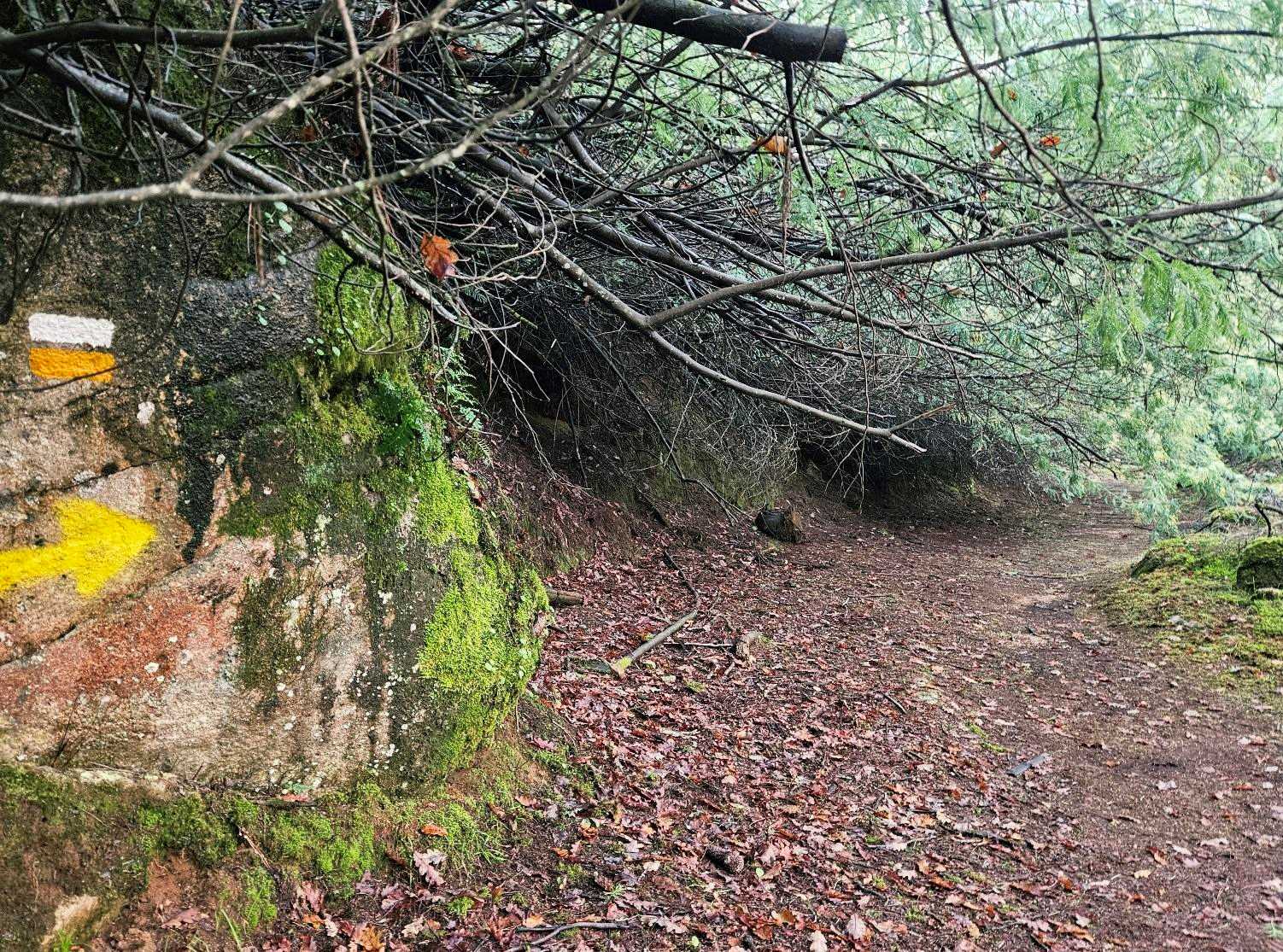
A lane runs straight ahead from the chapel; after around 30 metres take the right turn onto a track running past a stone wall (see photo below).
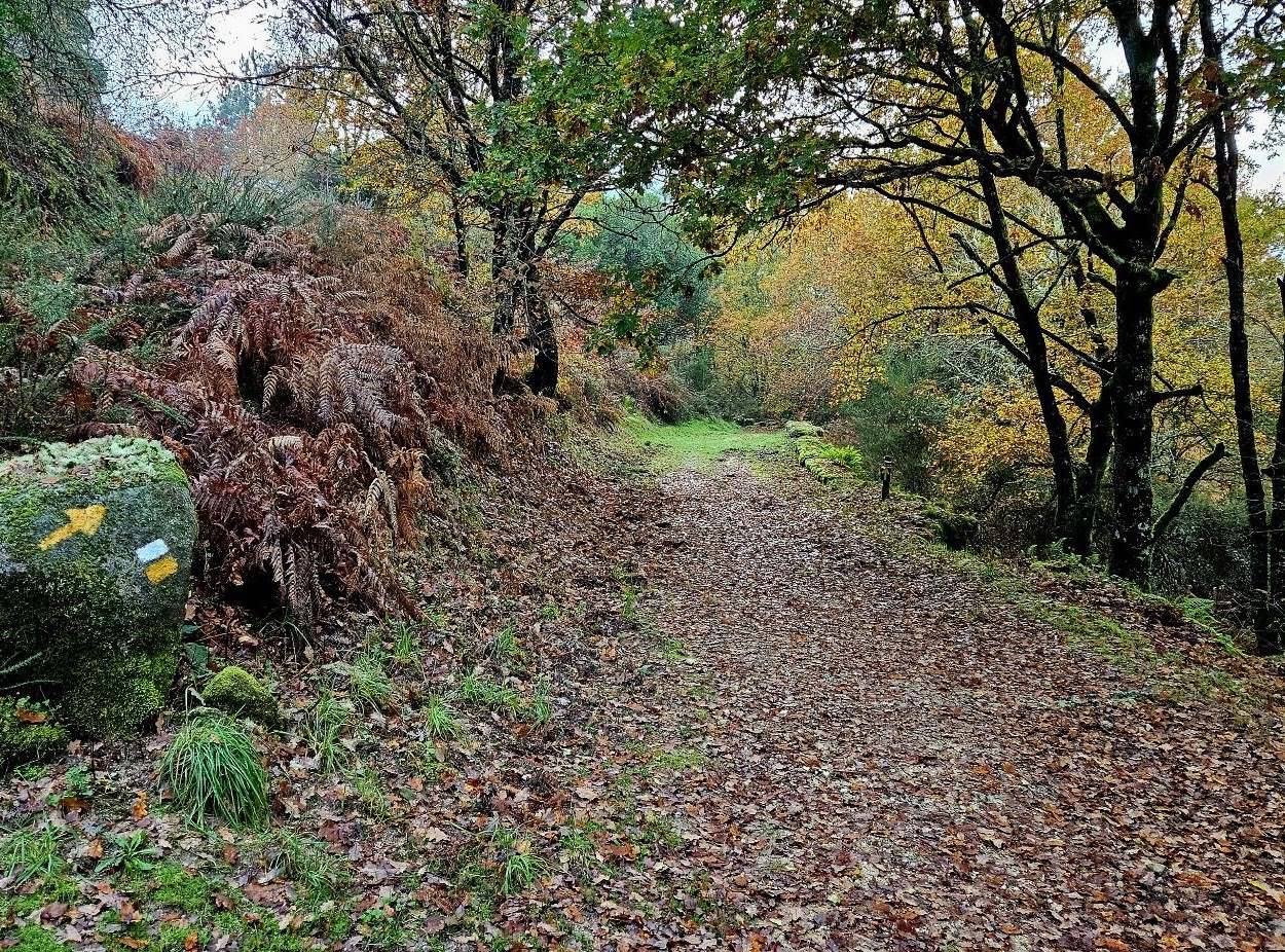
The track runs through the green forest, where mossy walls hold sway; yellow arrows help out with orientation.
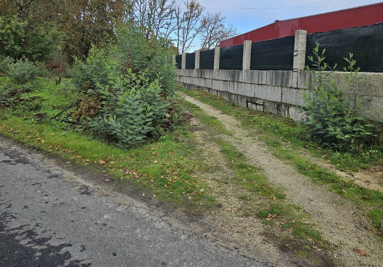
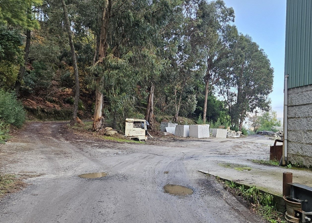
The route emerges at a quarry. Our track goes through the small complex, keeping to the left of the buildings.
It then heads into the trees and continues to a road; bear right to walk down to the village of Lebosende.
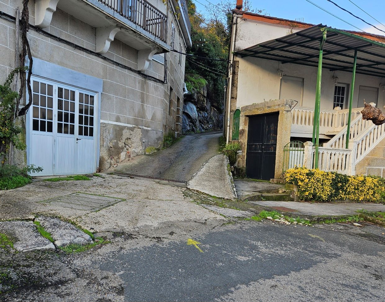
Pass the church and keep an eye open for the left turn up a street. There is a yellow arrow on the ground showing the way (see photo below).
The route ascends the street and, on a lane that leaves the village, there is an expansive view over the valley below.
Continue on the lane, following both the yellow arrows and the white/yellow waymarks.
Lane turns into track as the route ascends through the trees. It’s a pleasant walk through the forest, leading to Pazos de Arenteiro.
The only inconvenience is that dozens of trees have come down, blocking the track in places and making progress slow as you manoeuvre around them, or under them.
Arrows and waymarks show the way at junctions. Finally the route starts a long and winding descent to Pazos.
Reach the OU-0414 road and cross the bridge over an old friend, the River Avia, and ascend into the village.
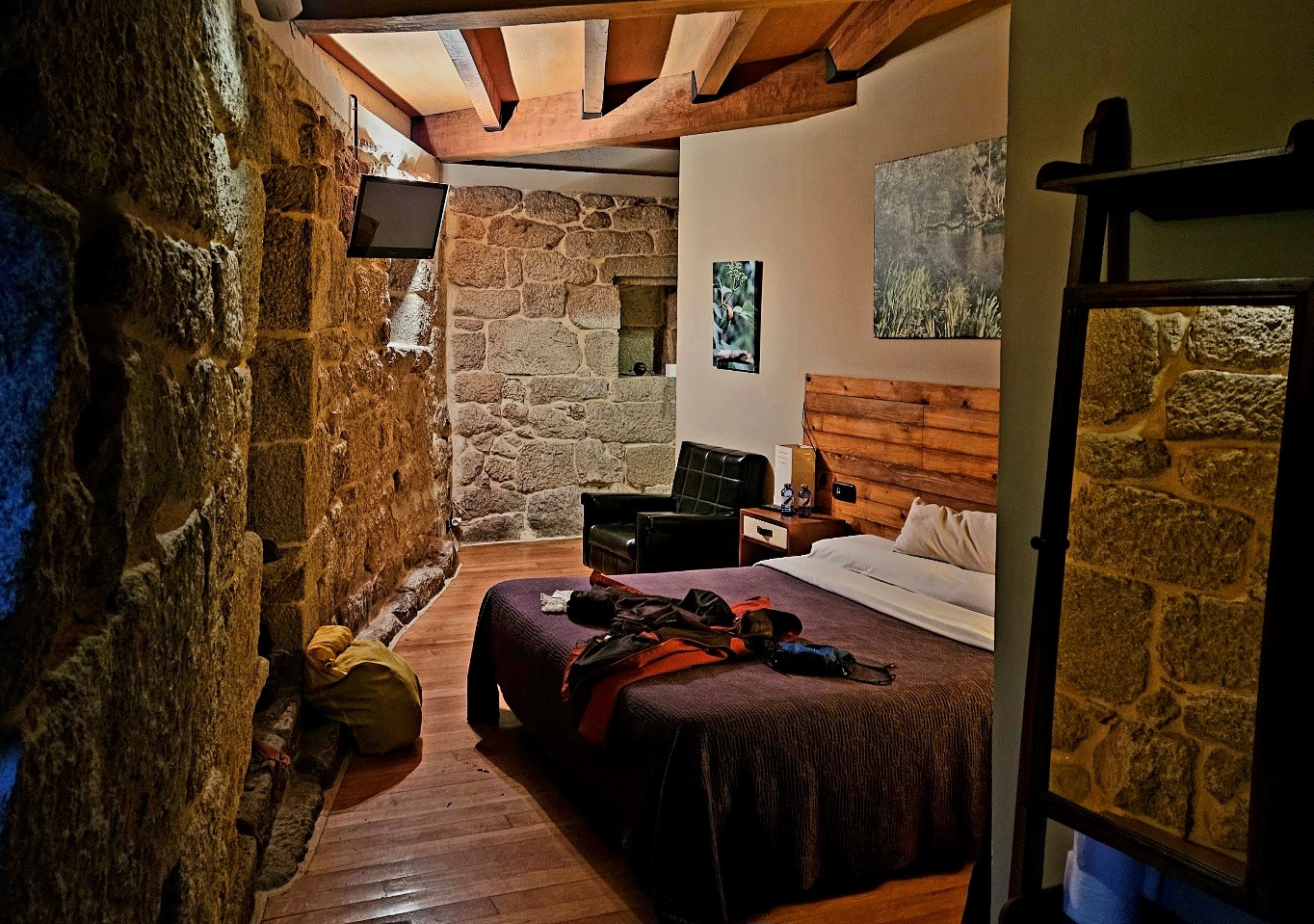
Accommodation is limited in Pazos; the only real option is the Aldea Rural.
It isn’t cheap but it is a lovely spot, in a converted historic building with fantastic views.
The owner speaks English (if needed). He can be contacted via the website http://www.aldearuralpazosdearenteiro.com
He also uses WhatsApp and his number is 683393822


Recent Comments