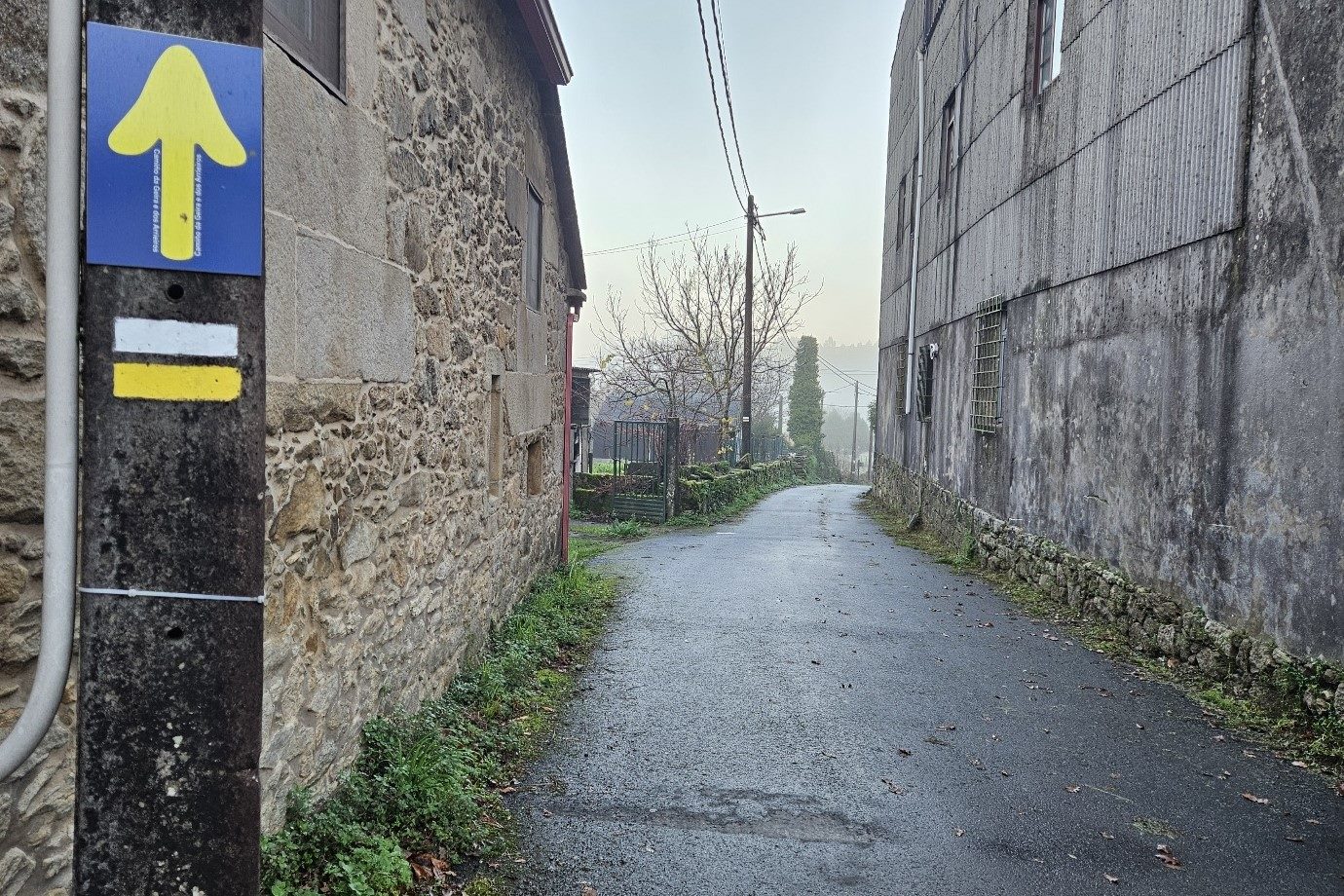
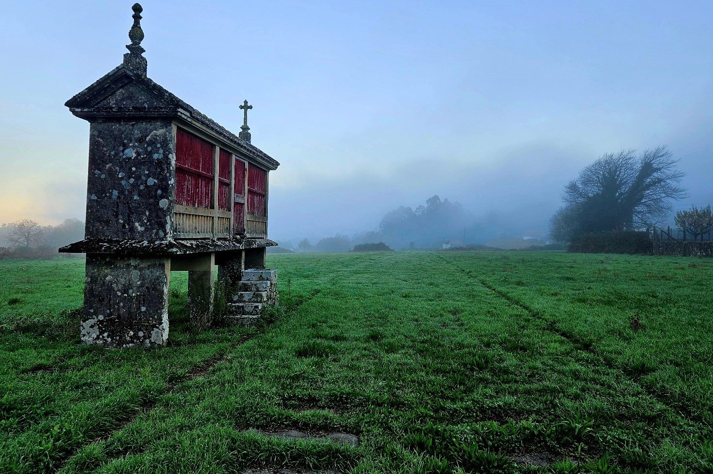
I left Codeseda on a chilly, misty morning which promised to be dry.
This penultimate stage of the Camino da Geira e dos Arrieiros, which goes to Pontevea, is not a difficult one. It measures 26km with around 230 metres of ascent.
Despite the large accumulation of water in rural areas over a very wet 10 days, I hoped to be able to follow the ‘camino’ without having to resort to detours on lanes and roads.
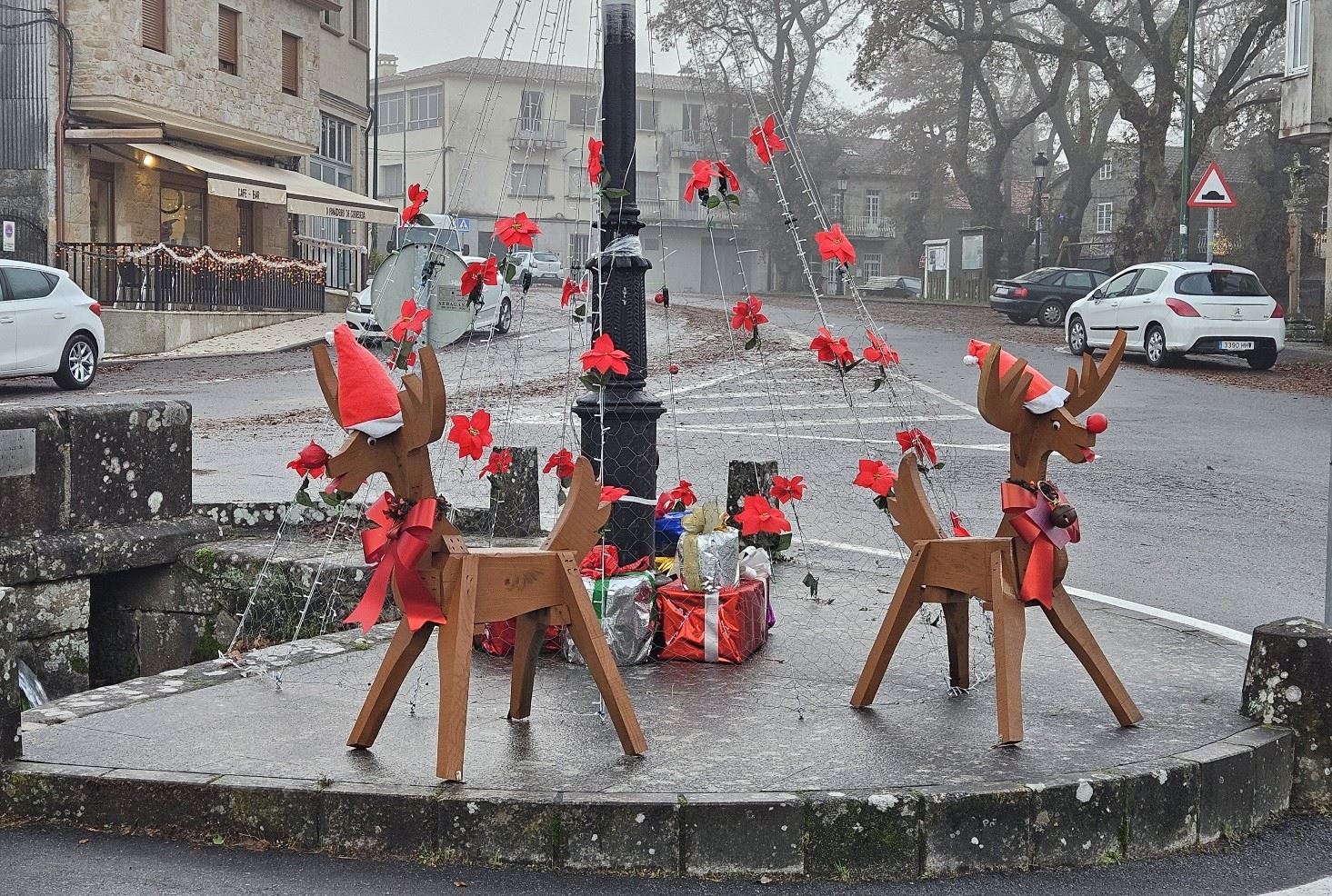
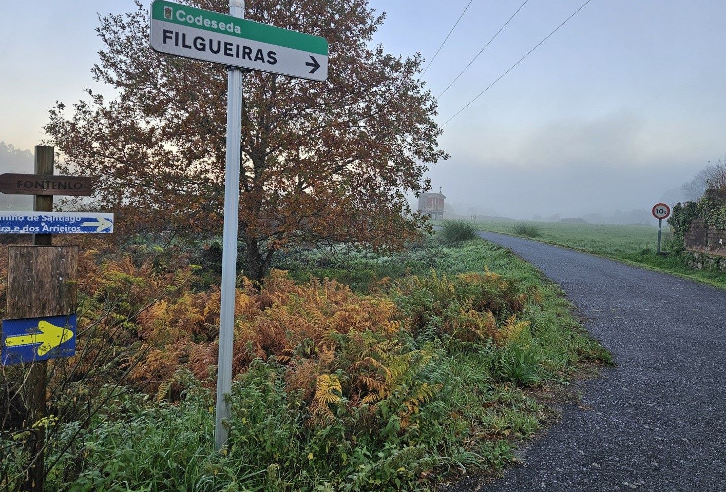
On the way out of Codeseda, I passed a festively-decorated roundabout, before taking the lane which heads towards Filgueiras.
The scene was very Galician; green, damp, misty and with a splendid ‘hórreo’ granary on stilts to observe.
The ‘camino’ heads for the River Umia, crossing it on the bridge over the EP-7001; walk along this main road for a further 400 metres before seeing the yellow arrow on the tarmac which points off to the right.
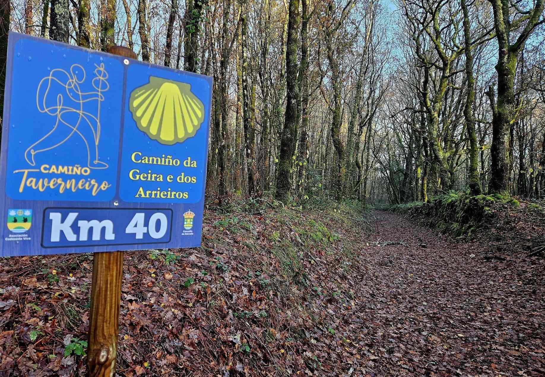
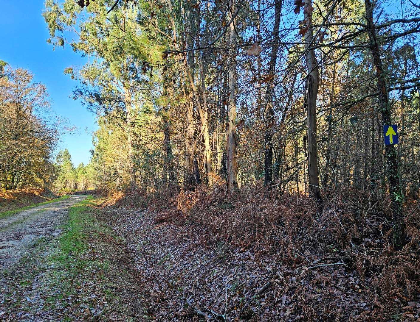
Follow the track alongside the low wall and bear left to head into the woods. A sign tells us that it’s 40km to go to Santiago de Compostela.
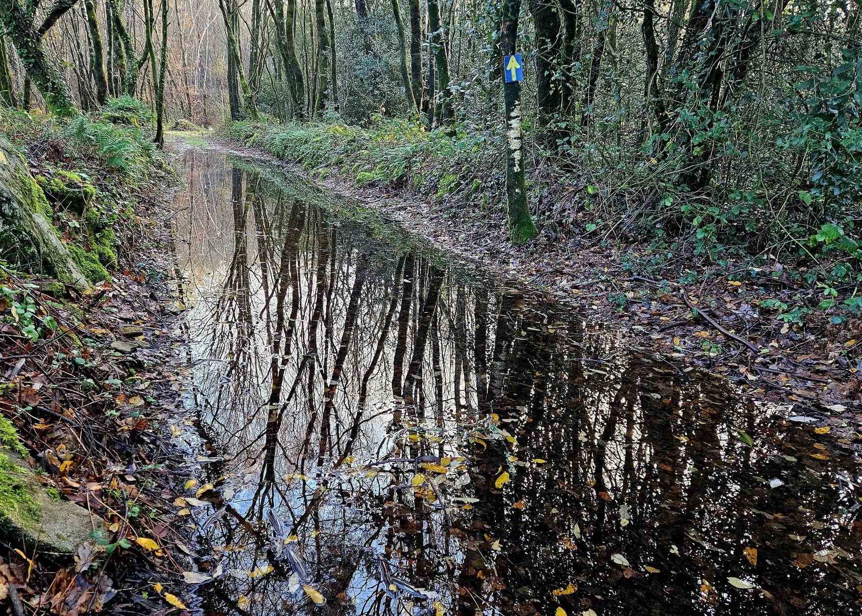
It’s a very pleasant track through the woods, but as I advanced it became obvious that the countryside was still underwater in some areas.
The paths were effectively streams in parts and I had to move into the woods to try to avoid deep water, with varying degrees of success.
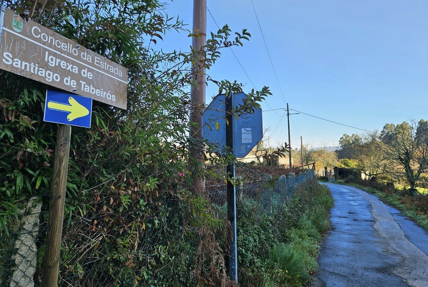
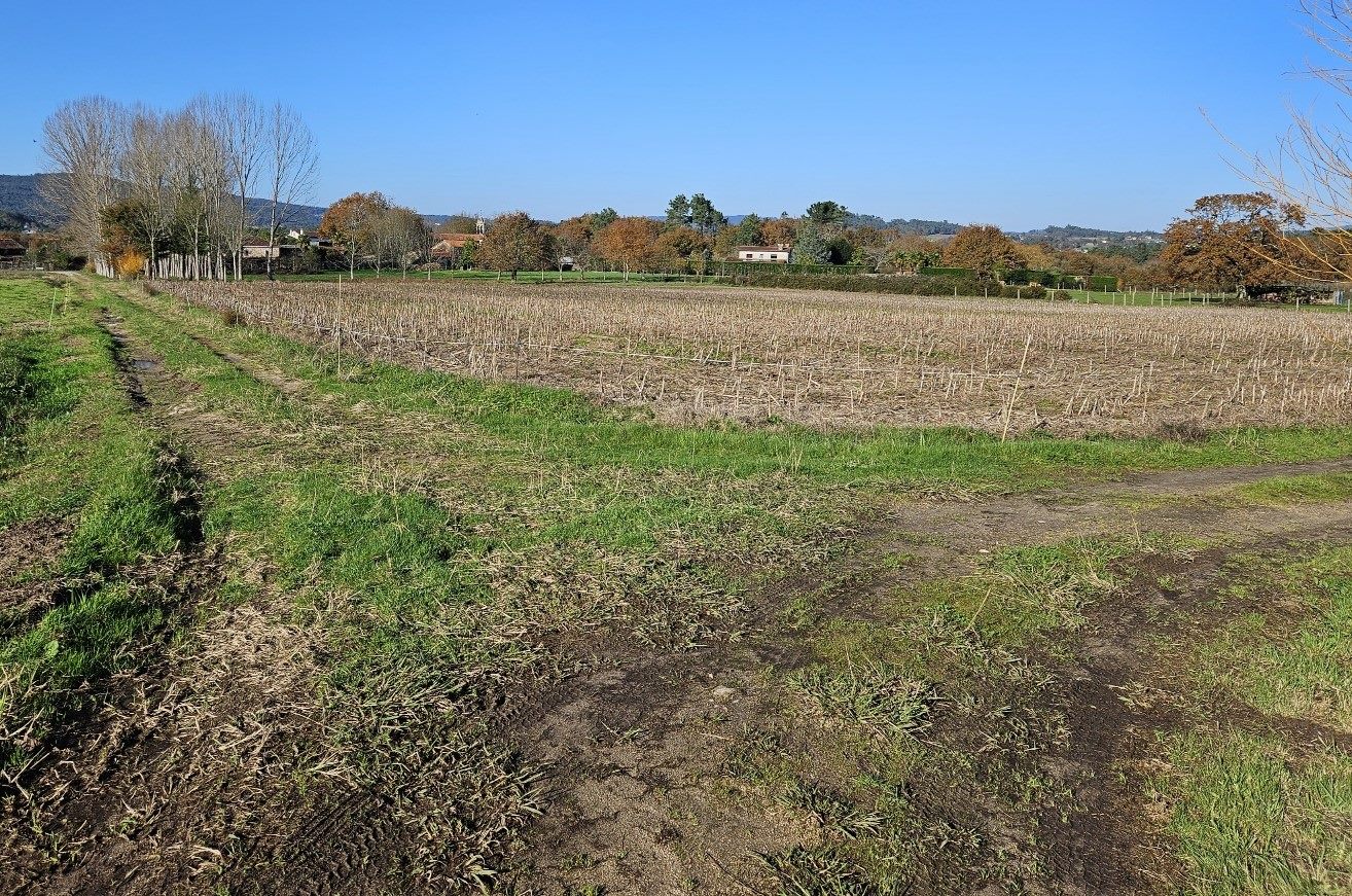
The track emerges at a lane and, after passing through the district of Paredes, the route heads to Tabeirós.
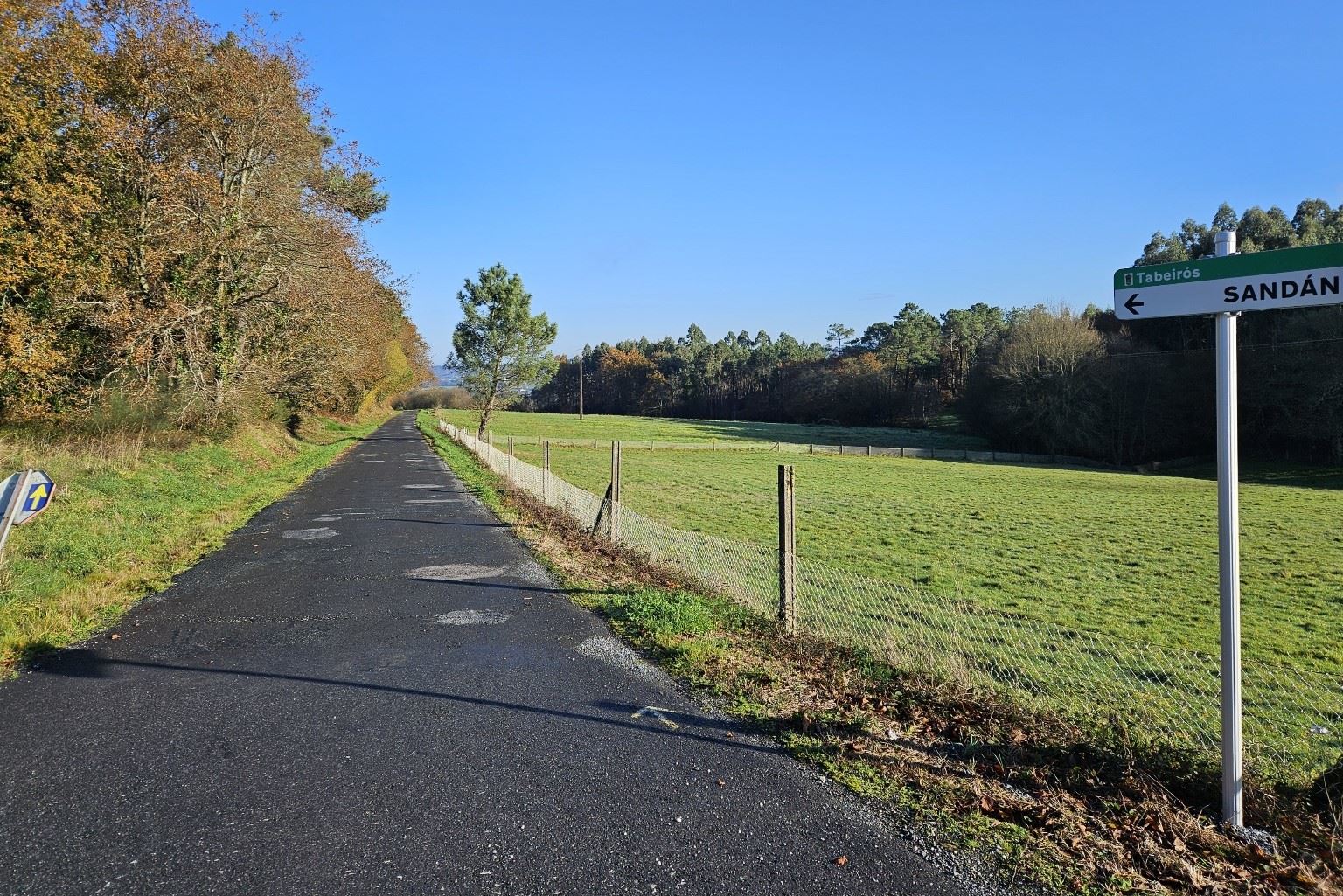
In Tabeirós look out for the right turn to head down the lane to the church. Pass on the left of the place of worship and keep on the lane to follow the sign for Sandán.
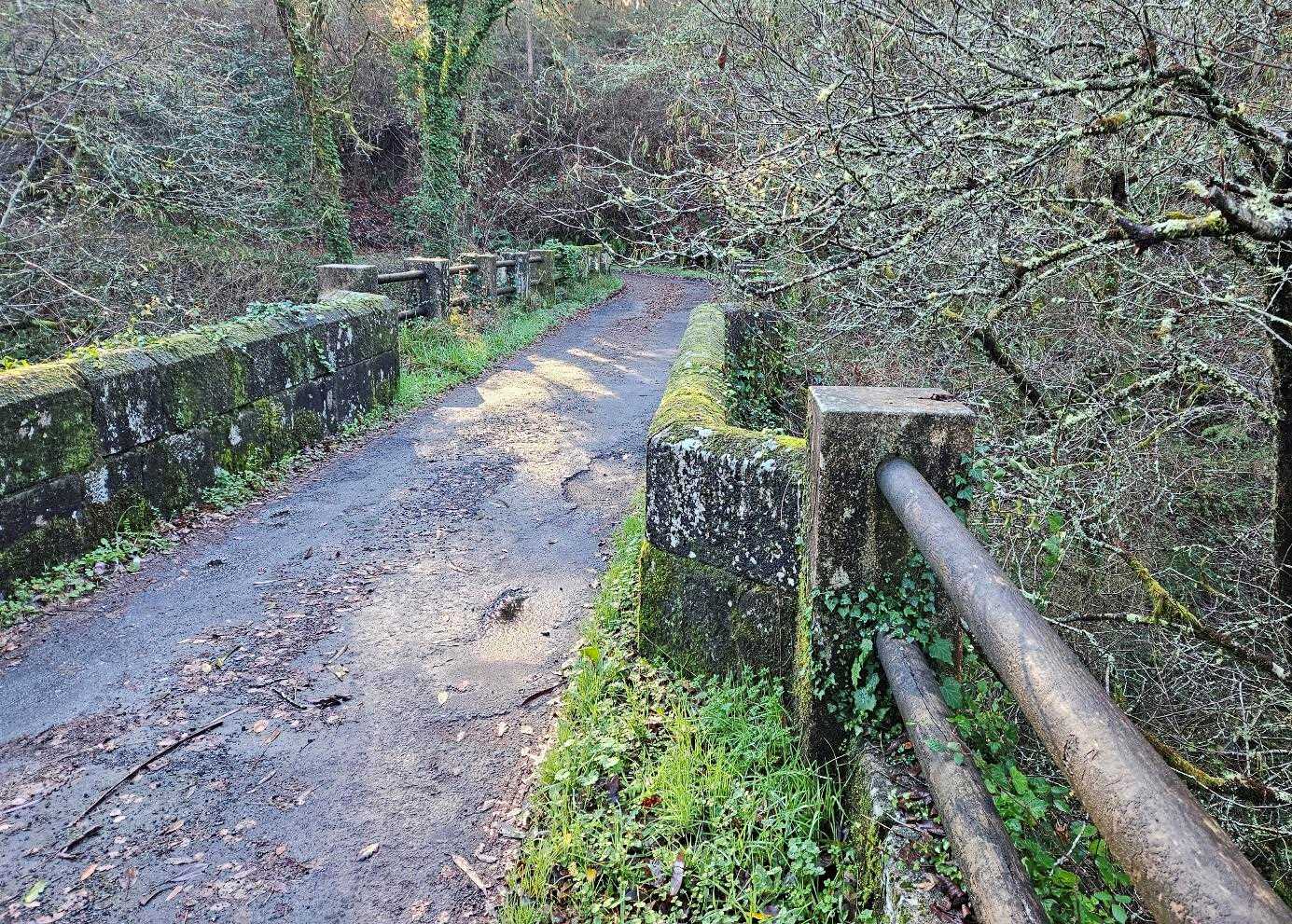
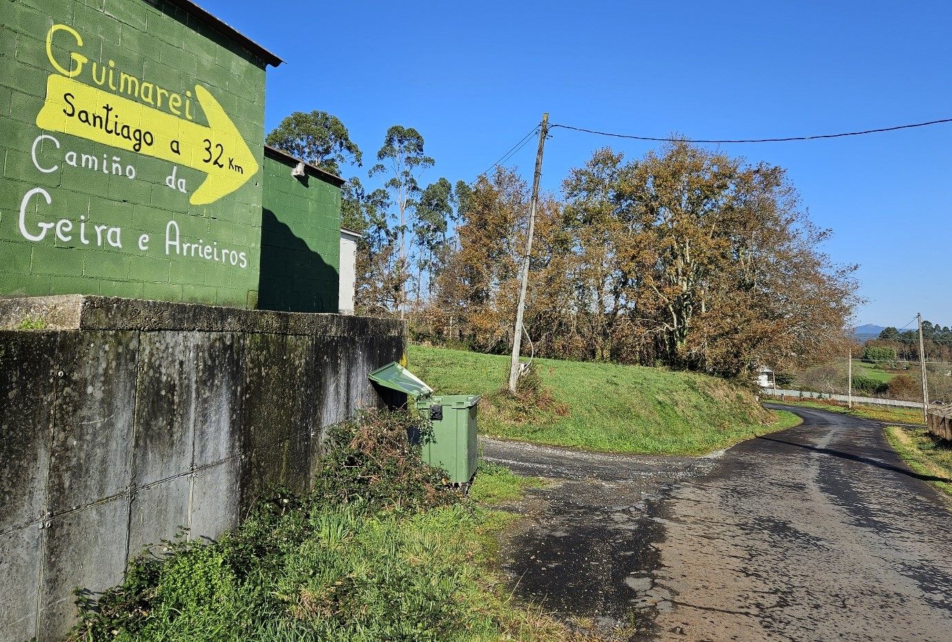
Pass through the village and follow the arrows along the lane over the small bridge, then on to Guimarei, where they have painted a very large sign on a wall to tell pilgrims that it’s 32km to go to the finish.
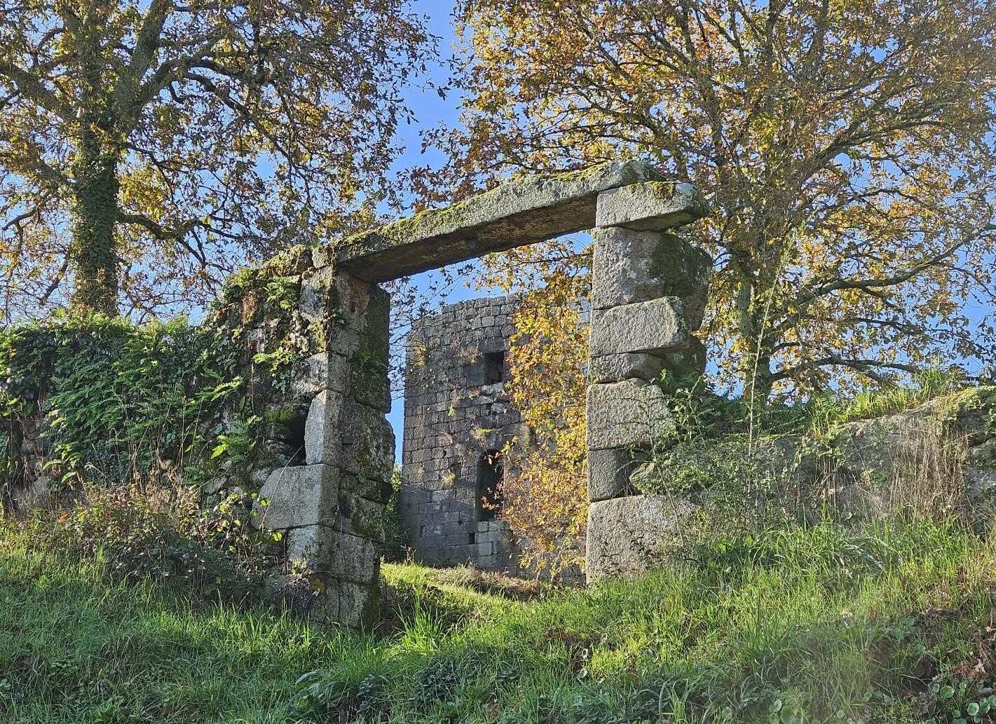
A short distance further along the lane look left for a slightly obscured view of the Guimarei tower.
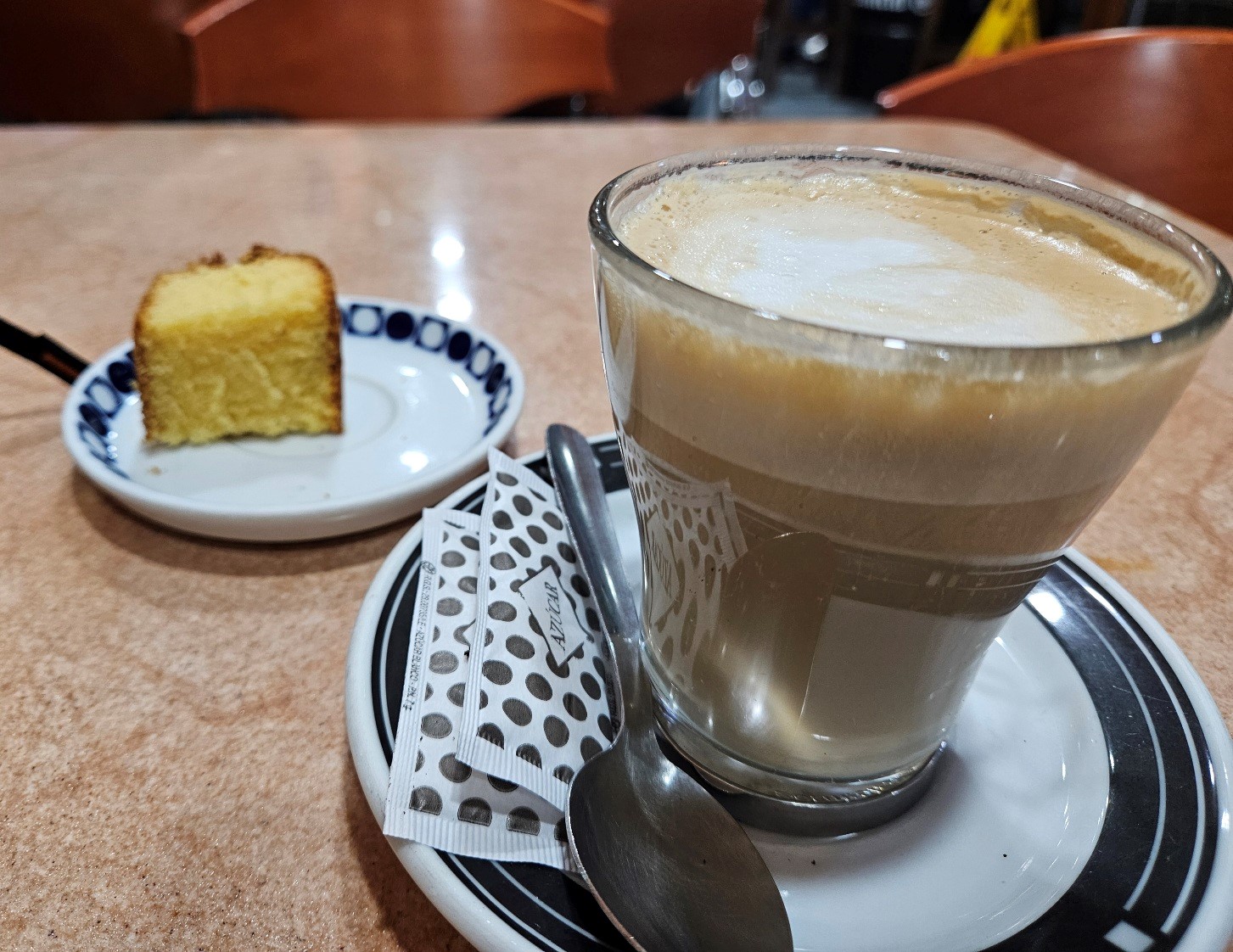
Then follow the arrows for around 1.5km to enter the town of A Estrada; it’s a good spot to stop for lunch or a drink.
Leave A Estrada on the PO-841 road which goes to Pontevea. There’s a turn off right for Figueroa; pass through the village and back onto the main road before taking another right turn to get to Toedo.
Pass the large ‘cruceiro’ cross on its plinth and then the church in Toedo. From the village follow the ‘camino’ signs, with the route changing from lane to track; it’s around 4.5km from Toedo on forest tracks to get to the next church.
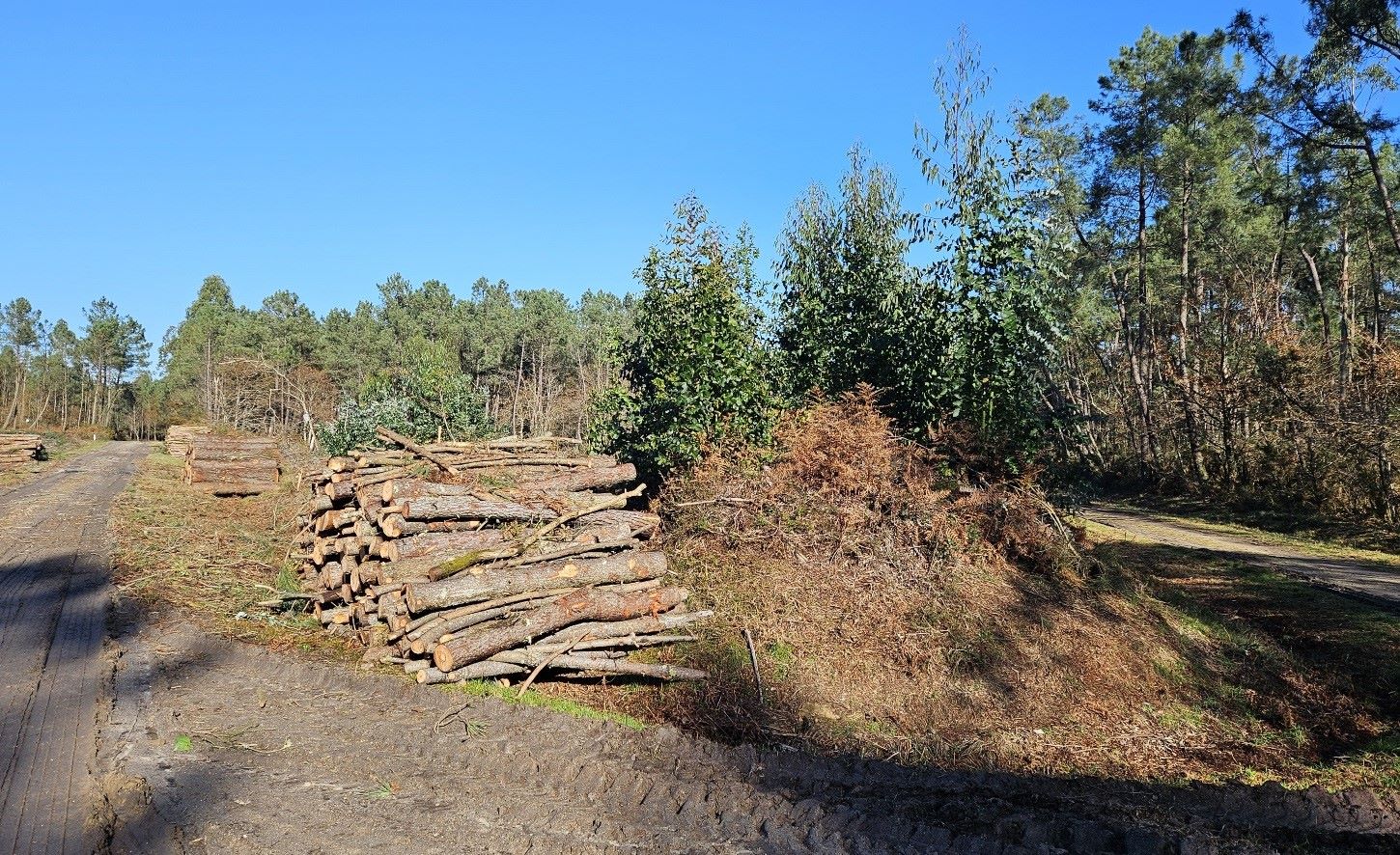
At an area where logging is taking place make sure to keep left at a fork (see photo below). It’s a lovely wide track through the woods, which is mostly downhill; easy walking.
At another fork, keep left to continue descending. Arrows are generally in place to help out with orientation.
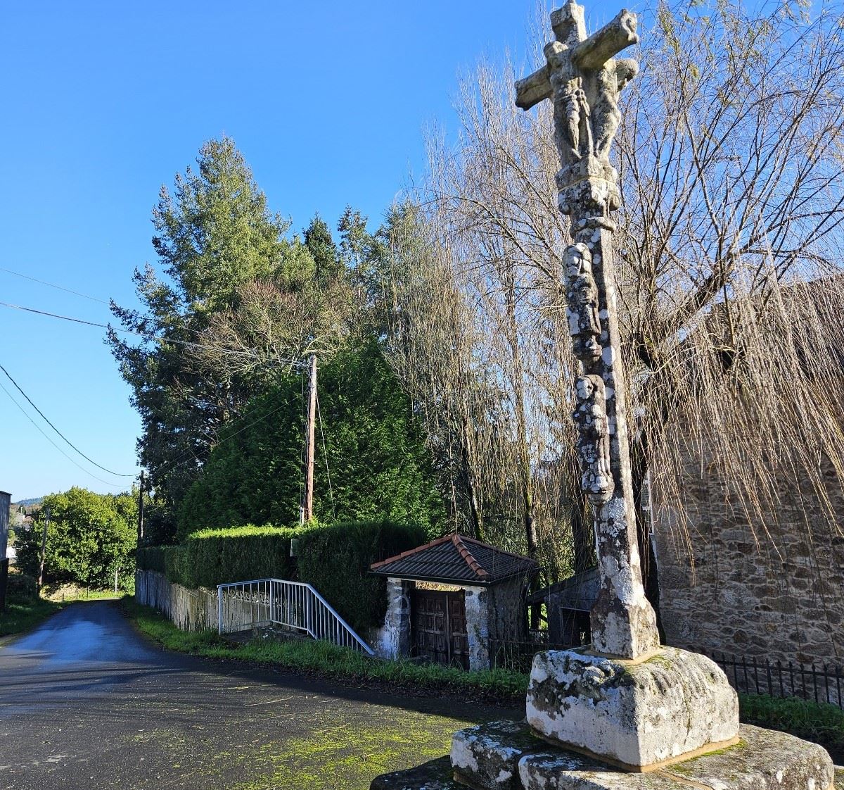
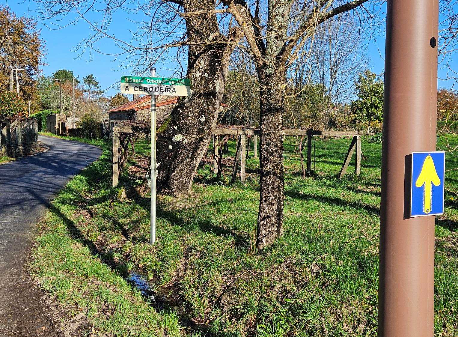
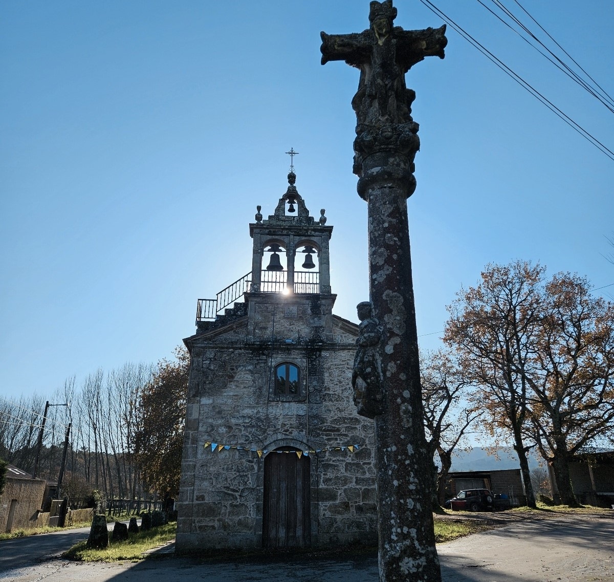
Out of the forest, arrive a junction of tracks and keep left to head into A Cerqueira, where the arrow sends us right, along the lane to the Nuestra Señora de Aranzazu church, with its ‘cruceiro’ cross in front.
Continue along the lane and on to the Vilacriste area, through a rural village landscape, before reaching the main road just short of Pontevea.
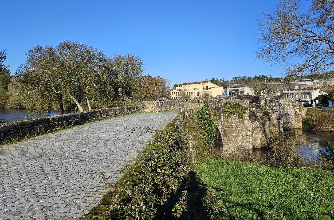
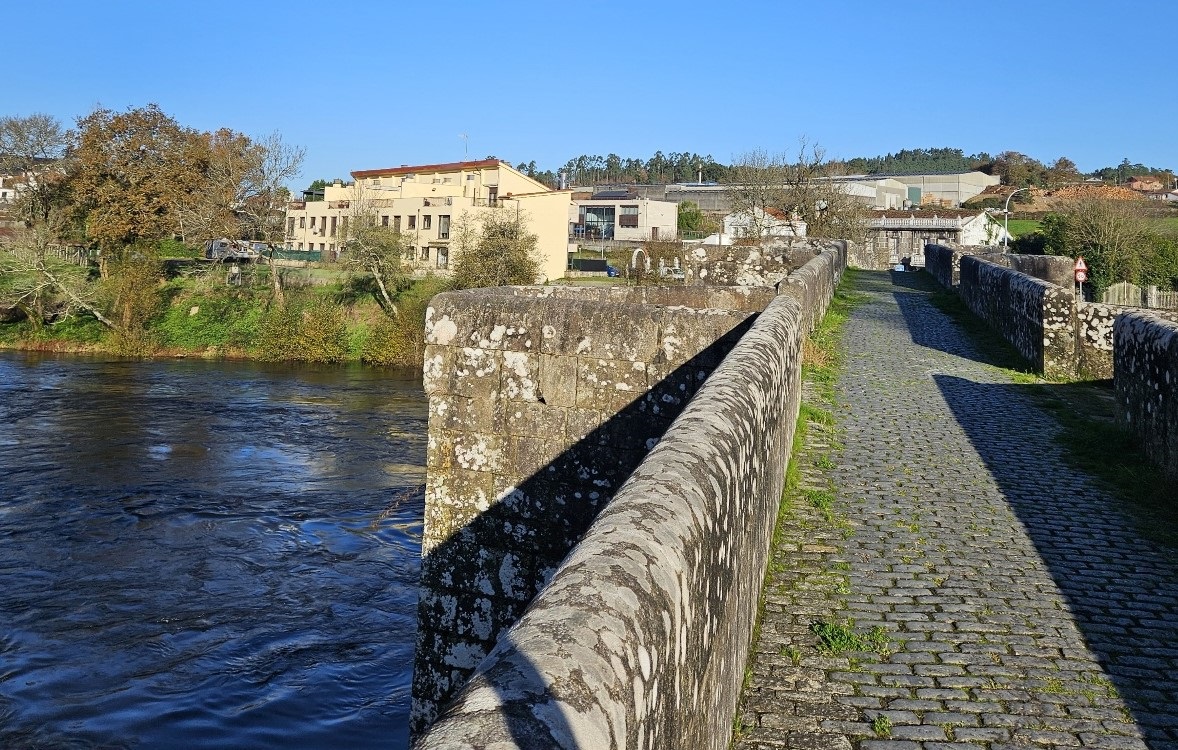
Bear right to get to the medieval bridge over the River Ulla. There are great views of the waterway on the way across. Then follow the road left to get into the centre of this small town.
You may be staying at the Albeitaría hotel/pension; to get there continue out of the town on the main road and take the second right to head up the Camiño da Costa de Paradela.
It’s around 500m up this lane to reach the accommodation, which is on the right. It’s a pleasant and comfortable place to stay. More information on their website at www.albeitaria.com
Recent Comments