“¡A Santiago!”
It was a shout from an elderly resident as I passed through a Galician village; meaning, ‘to Santiago!’ A traditional call of encouragement to pilgrims.
The rucksack and peculiar headwear must have given me away.
I was a few days short of the holy city at that time. But, on this the final stage of the 10-day Camino da Geira e dos Arrieiros, I really would be ‘a Santiago’ as I covered the final miles.
It’s not a long walk; around 18km with 450 metres of ascent. Although the final trudge through the city suburbs isn’t overly inspiring, there are some pleasant sections earlier in the piece, with forest and countryside to appreciate.
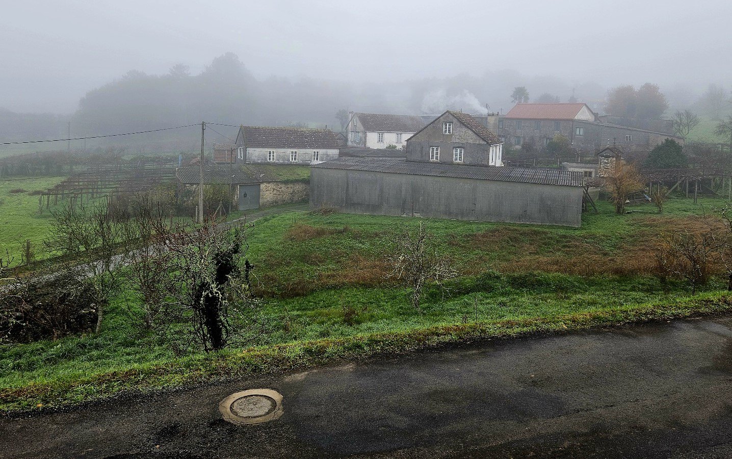
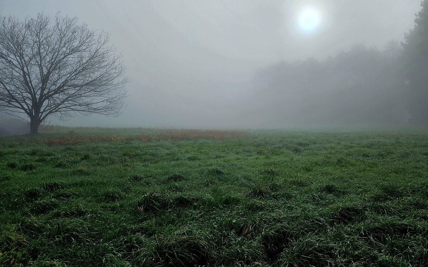
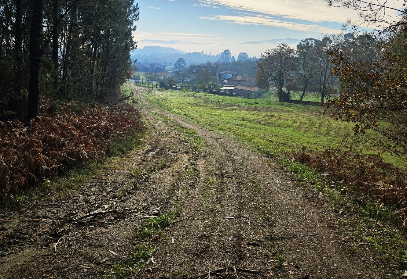
I set off from Pontevea in the mist, but it promised to be a fine day once the sun had burned off the low cloud.
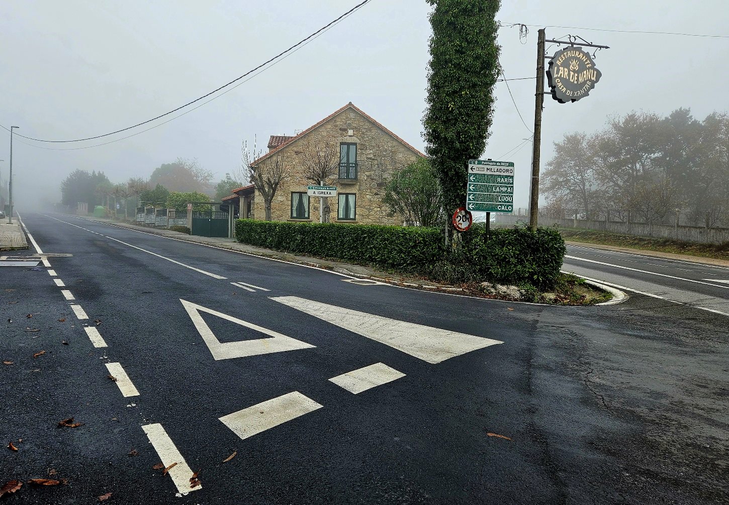
The ‘camino’ follows the AC-841 main road from Pontevea to Santiago for less than 1km before bearing left at the Lar de Manu restaurant.
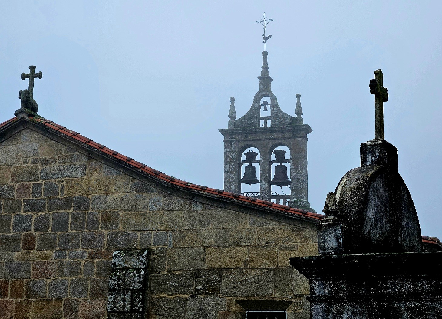
Soon there’s another left turn, following the arrows, to head for Reis. Pass the church and crosses in Reis and after 100m bear right at the crossroads to take the road which heads for Raris.
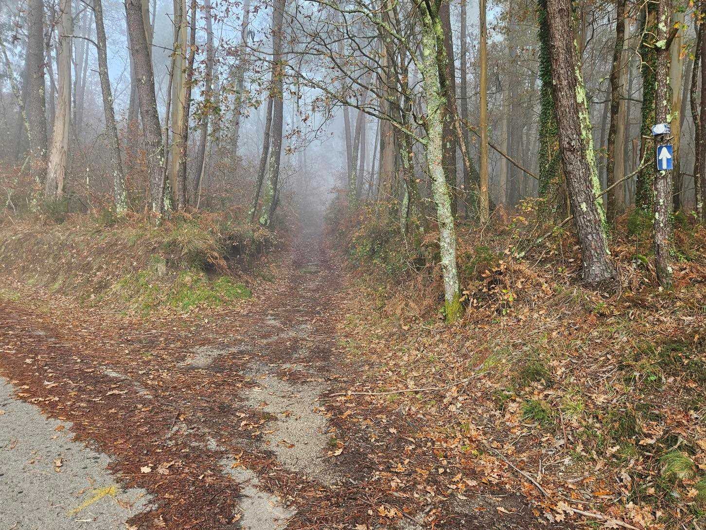
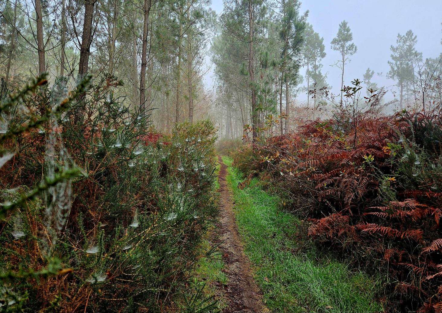
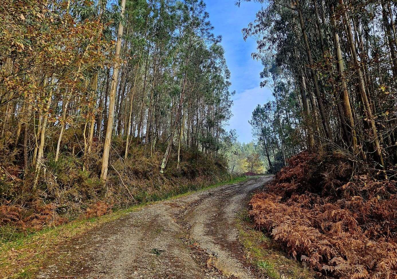
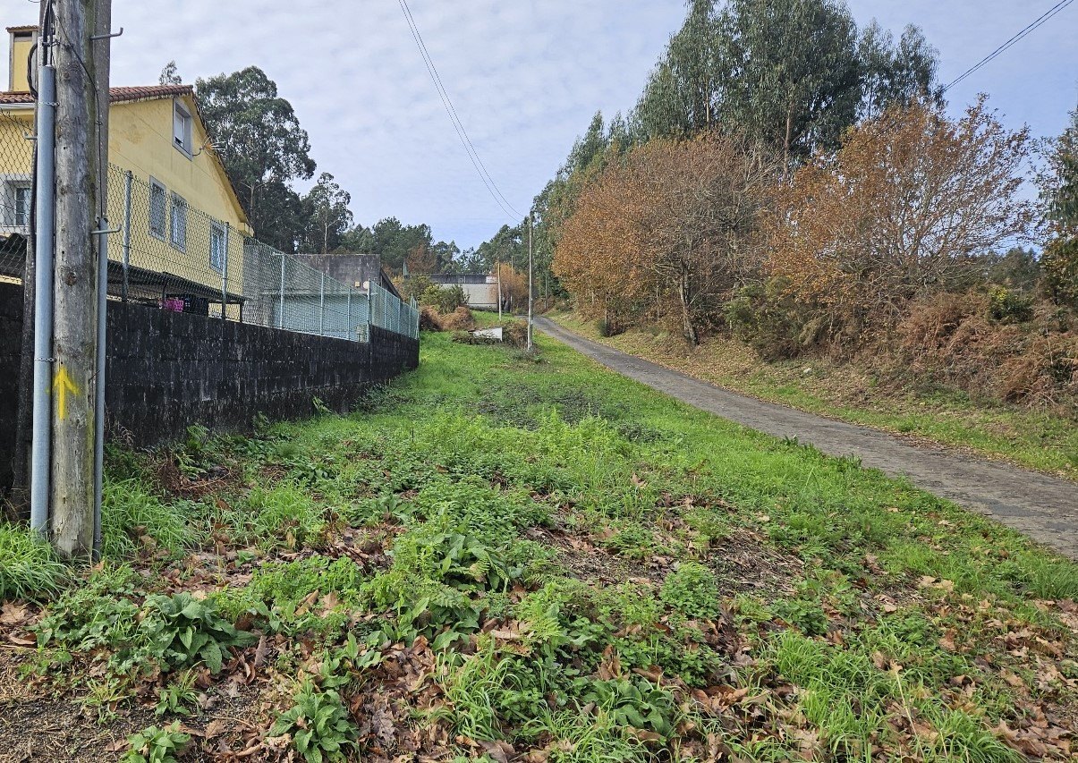
Pass the tall ‘cruciero’ cross in Raris and follow the arrows to get to Sestelo. Head through Sestelo, following the arrows, then cross the road to take the path which heads into the trees (see photo below).
It’s a pleasant path/track which goes through the woods. It comes to a road; cross over and continue into the trees the other side. There is now more than 1km along the forest track to enjoy.
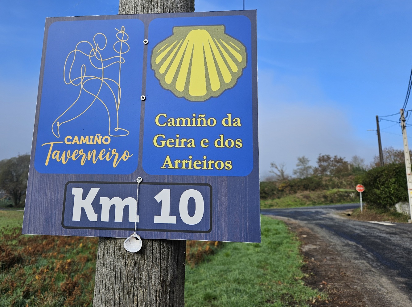
The ‘camino’ emerges at a quiet road. Following the arrows, the route passes the ’10-km to go’ sign. Next up is the San Simón church, passing it on the left.
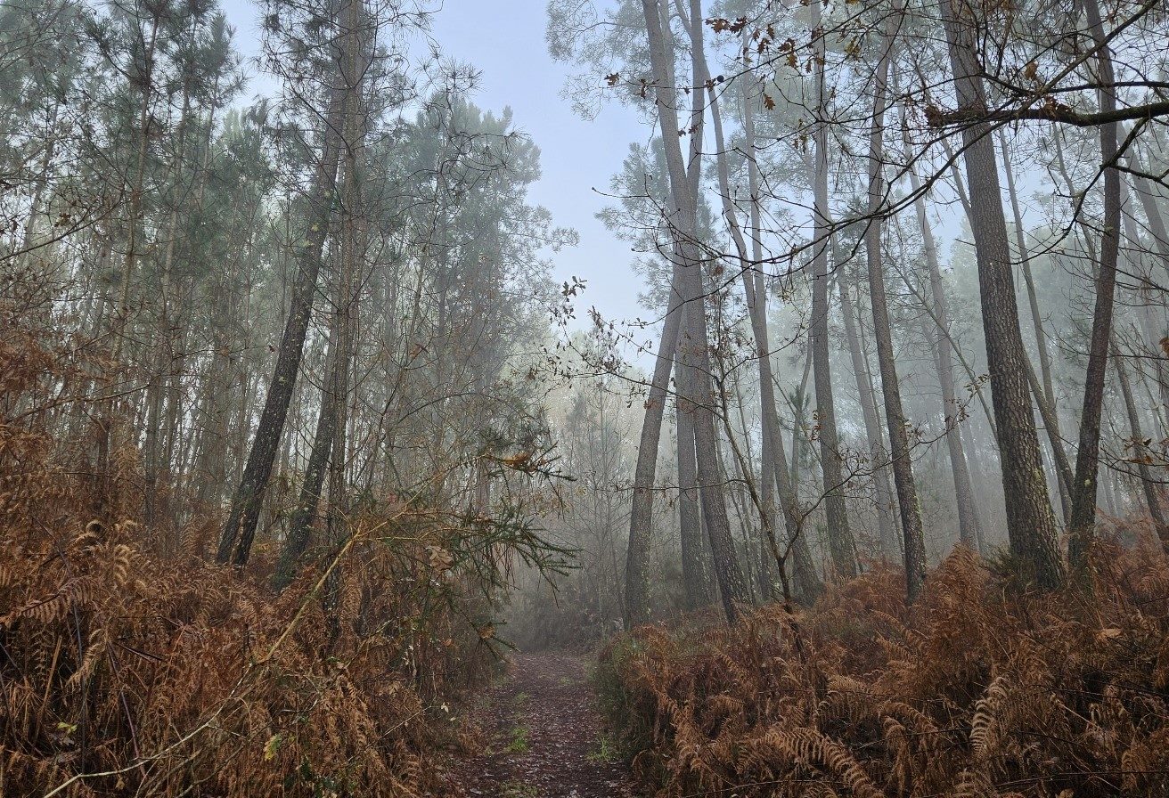
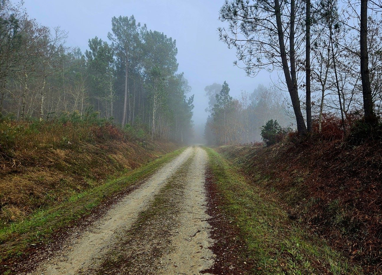
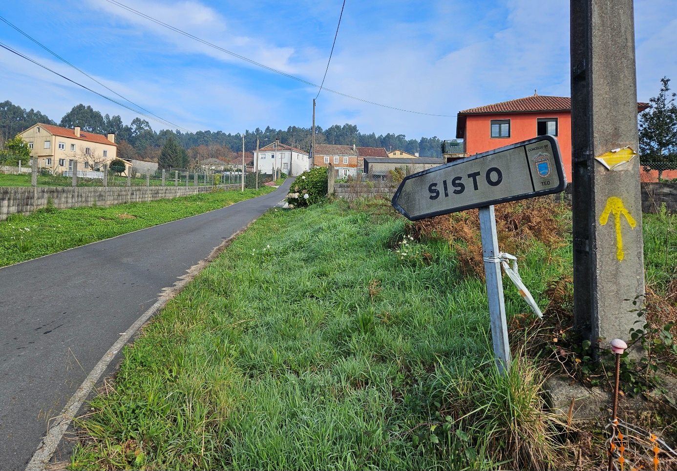
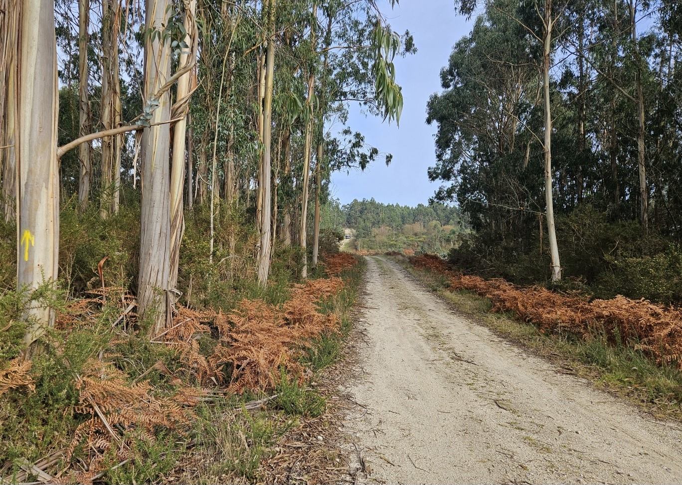
The ‘camino’ takes the road to Sisto, before turning off right; heading for the trees once more. It’s a wide track which heads away from road, going uphill into the forest.
This is the last area of countryside; enjoy it.
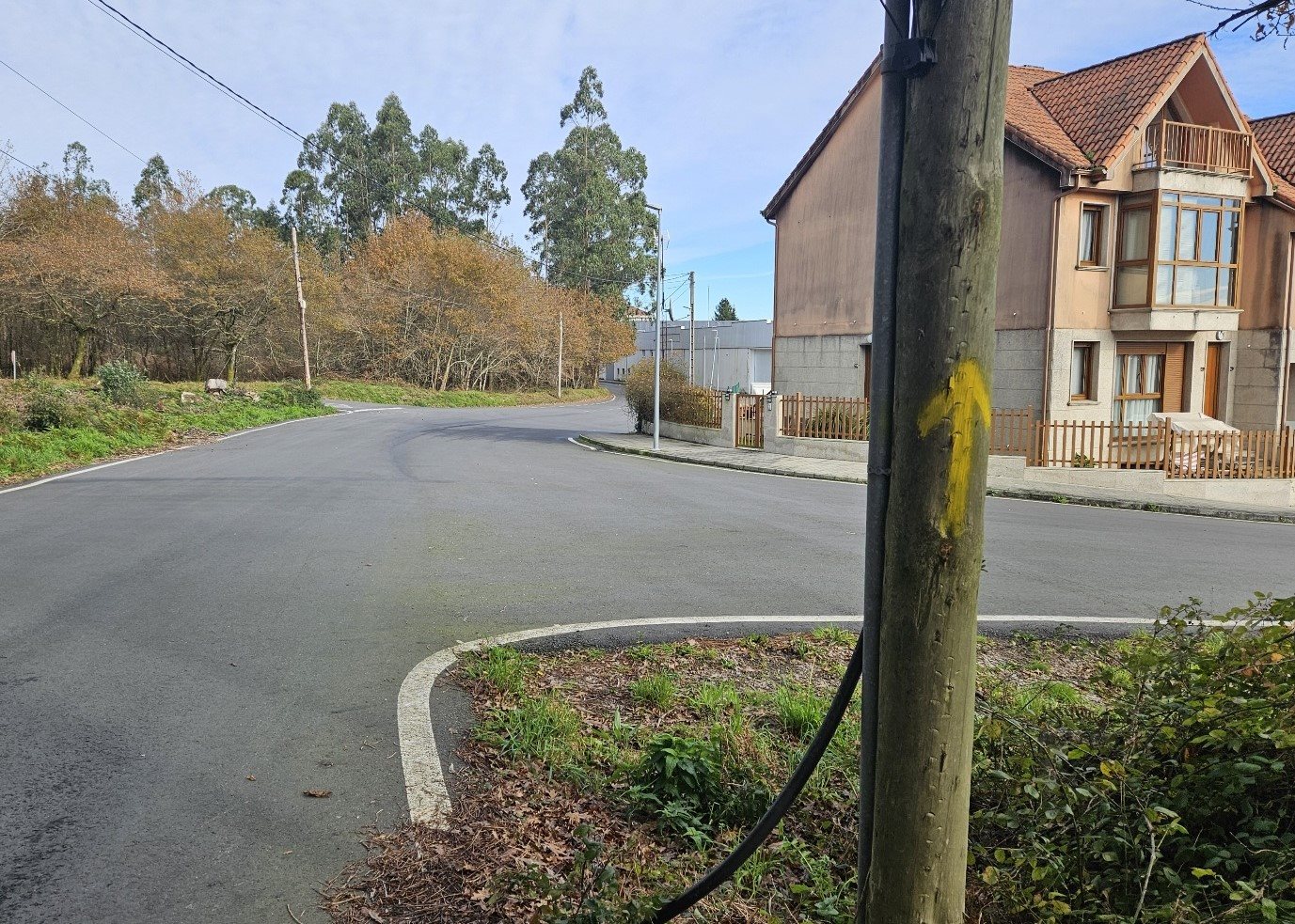
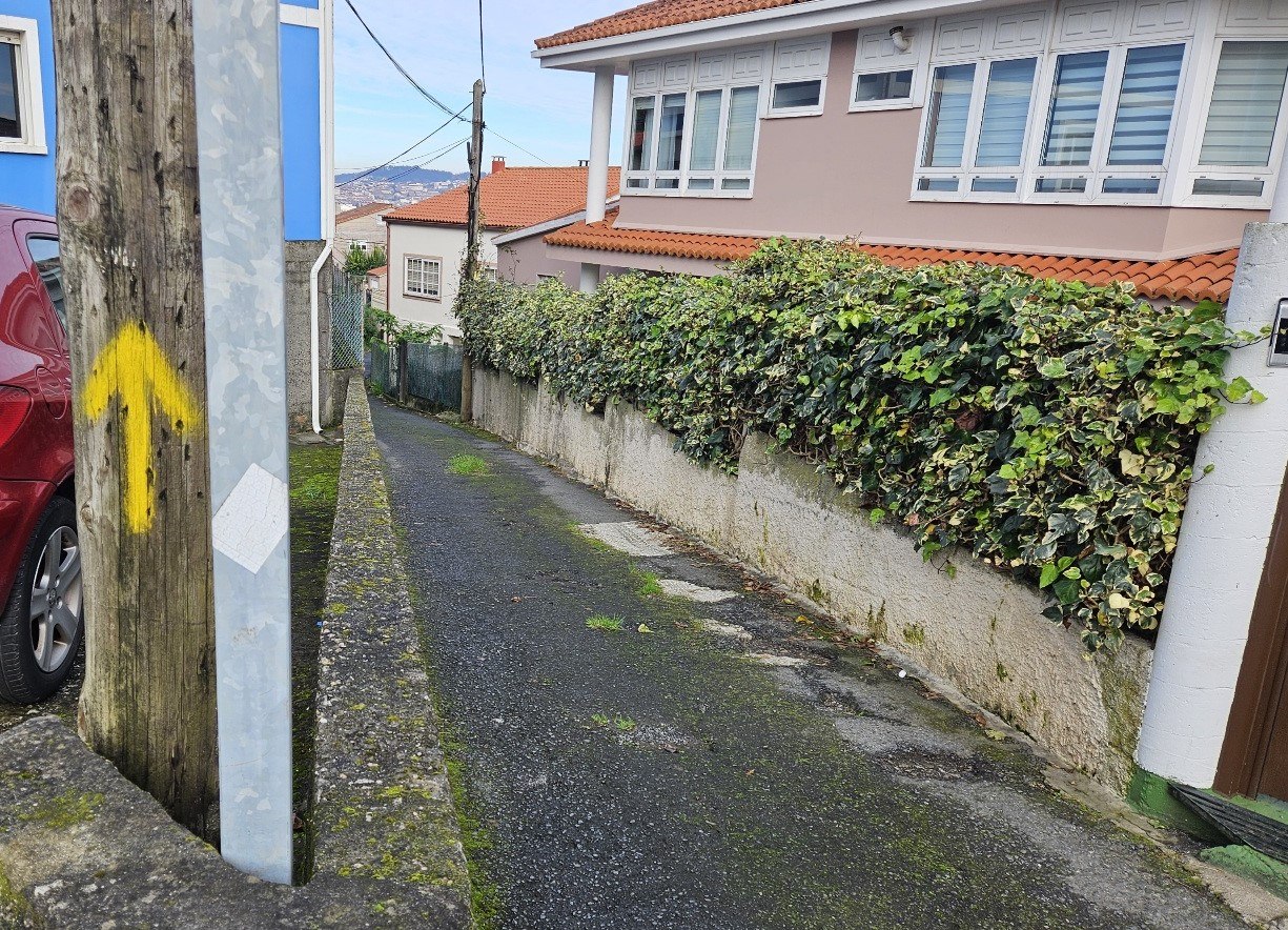
The ‘camino’ then passes through two suburb areas; San Sadurniño and Montouto.
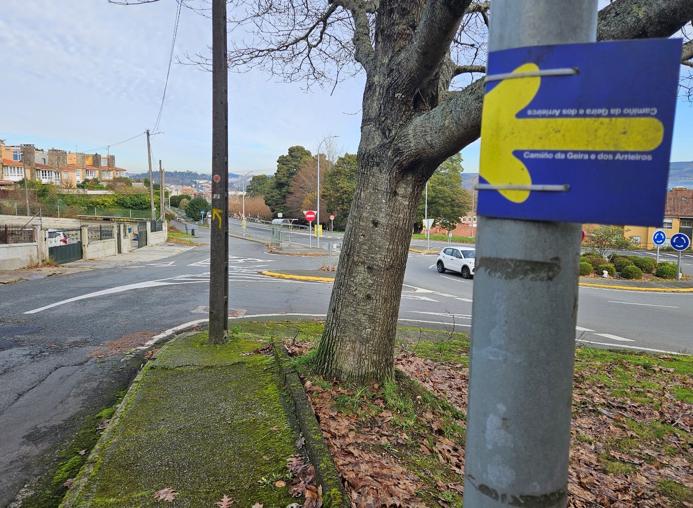
It is well-signed; the only spot where directions may present a problem comes after the descent to a busy road. See the bus stop and turn sharp left to head up a fairly steep track.
At the top bear right, along the lane. Soon the route goes through a residential zone and onto the bridge which crosses the motorway.
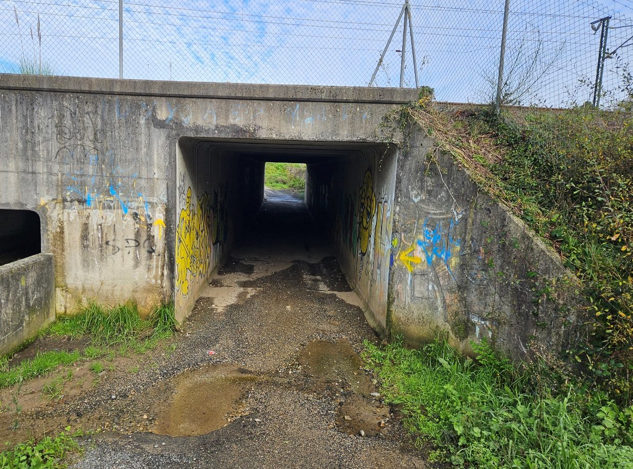
On the other side bear left to walk alongside the railway, before going through the tunnel under the tracks and turning left. After 700 metres cross the bridge over the road.
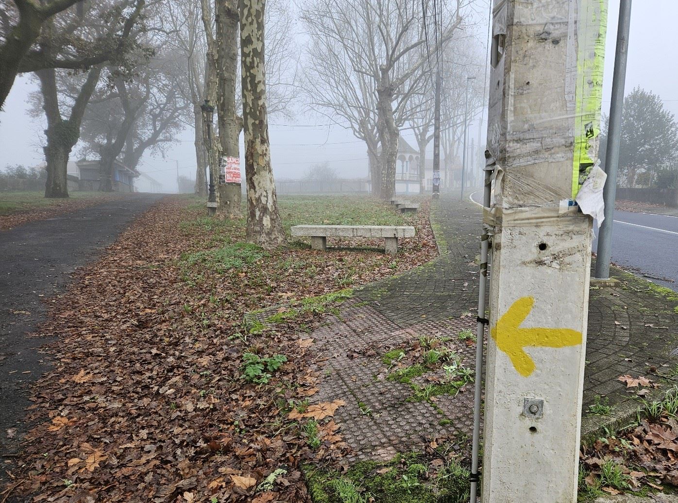
Then bear left to get to the Eugenio Granell park. In the park I lost the ‘camino’ markings.
After crossing the park you will have to pass over the train lines via one of bridges to get into the centre of Santiago de Compostela, and on to the cathedral. GoogleMaps is a great help on this final section if you don’t know the city.
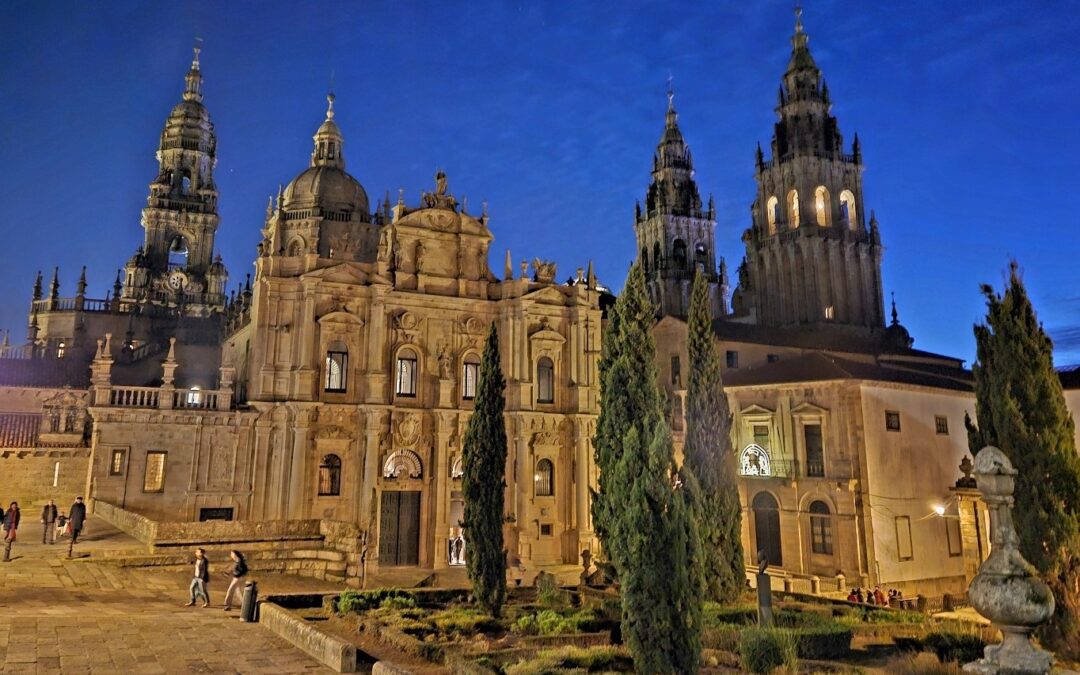
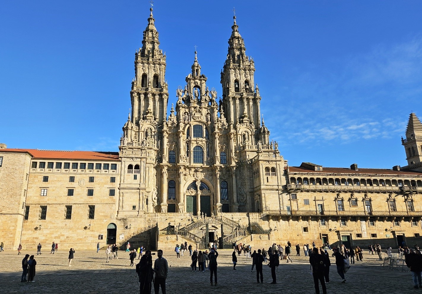
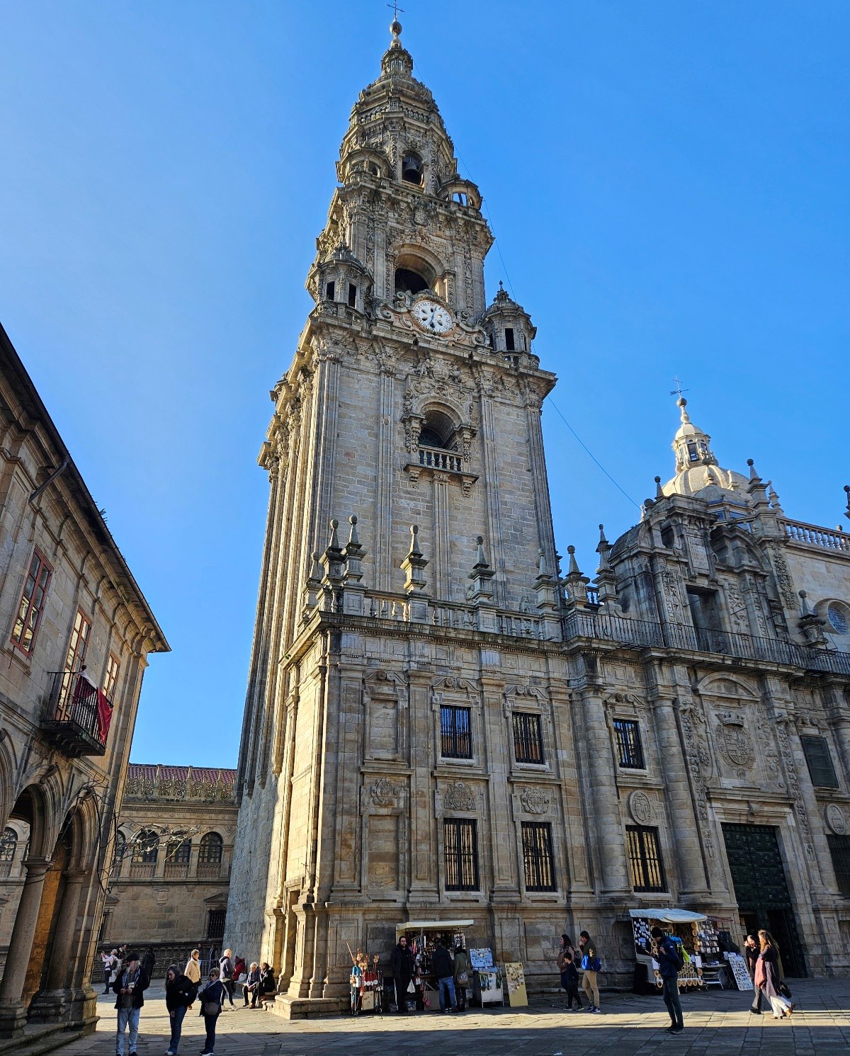
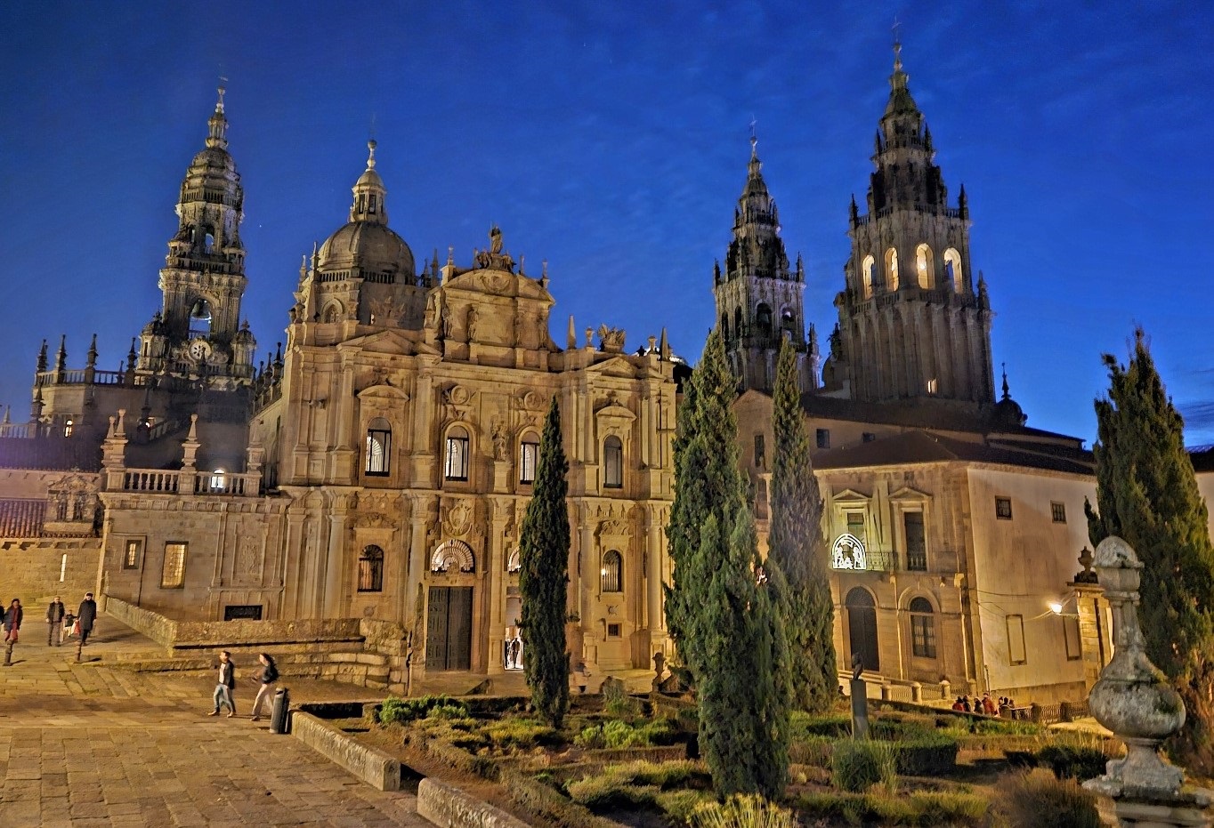
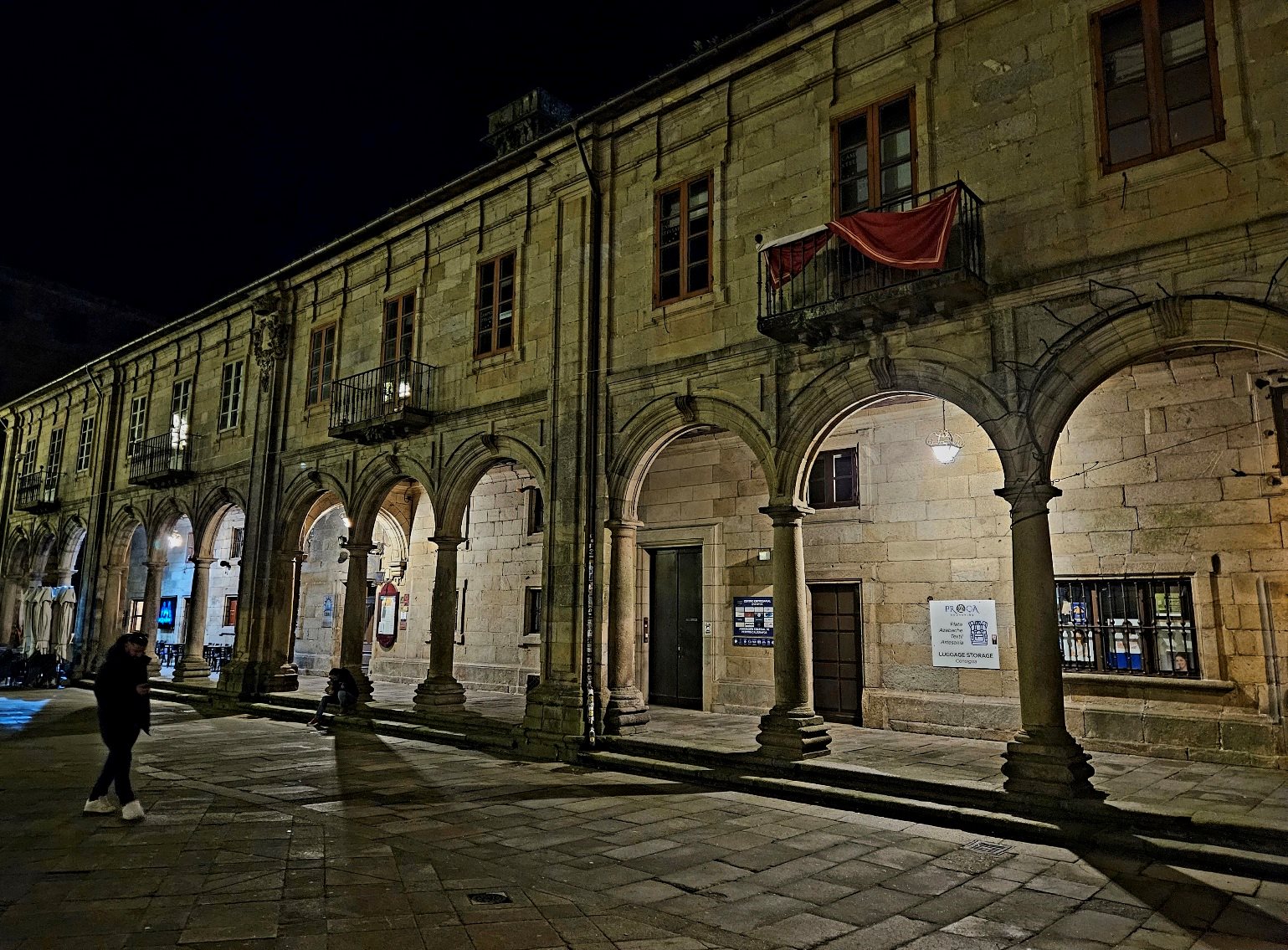
The area around the cathedral is a great place to walk, during the day and evening.
The Old Town is dominated by the vast place of worship. It takes quite a while to walk around the exterior; something that’s worth doing to observe the cathedral from different angles.
There is a huge amount of accommodation available in Santiago to suit all budgets. Some of it isn’t particularly appetising. But a good scan of booking.com will produce dozens of options and prices.
I stayed in Hotel Alda San Carlos on Rúa do Hórreo, which is a couple of minutes’ walk from the train station.
It was a spacious room which was clean and comfortable; in short, a good spot. I reserved via booking but they also have their own website www.aldahotels.es


Recent Comments