This is a varied and interesting day’s walking along an undulating coastline. Away from the urban sprawl of Mojácar Playa, the route to Carboneras is mostly concrete-free.
It’s around 25km with approximately 350 metres of height gain, which will take between six and seven hours.
As you will want to start this first stage of the walk early-ish in the morning, then an overnight stay in Mojácar Playa is your best bet.
There are many accommodation options available via booking.com
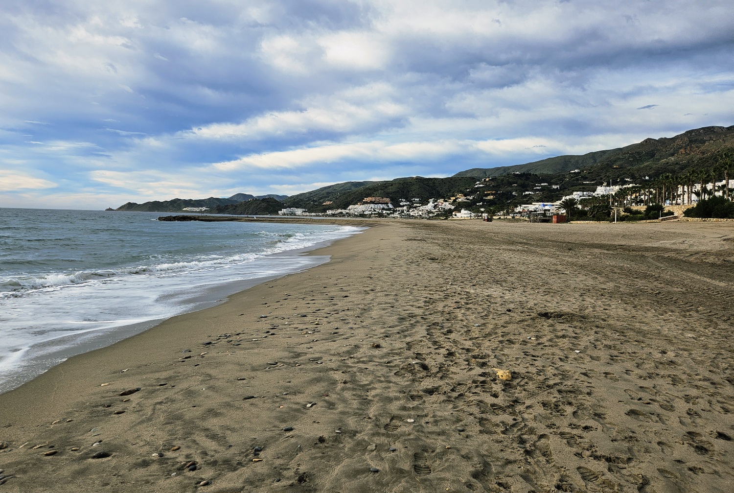
The buildings of the coastal resort spread along the shore for more than 4km. To avoid walking by the side of the main road that runs next to the beach, it is advisable to book a hotel at the southern end of the urban area.
A quick check via Google Maps will show the location of the hotel.
It is good to see Mojácar Playa because this is what could have happened to the Cabo de Gata if main roads had been constructed along its coast, as had been planned during the last century, before it was given the protection status of a natural park.
My hotel was towards the northern end of Mojácar Playa, which meant walking along the beach, with short spells by the side of the road when soft sand made progress very slow.
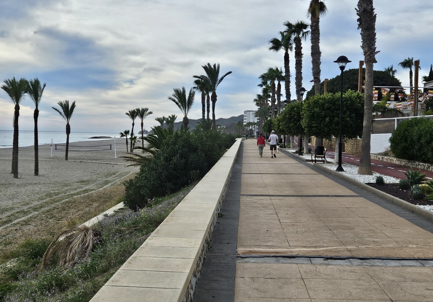
In the southern section of town a promenade is available to walk on.
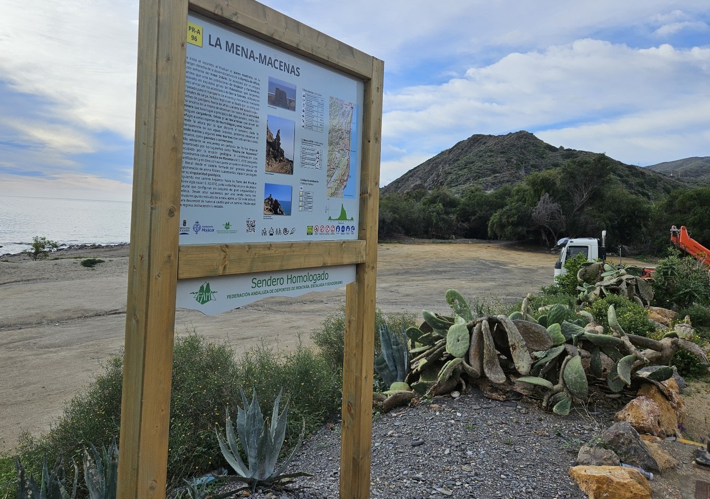
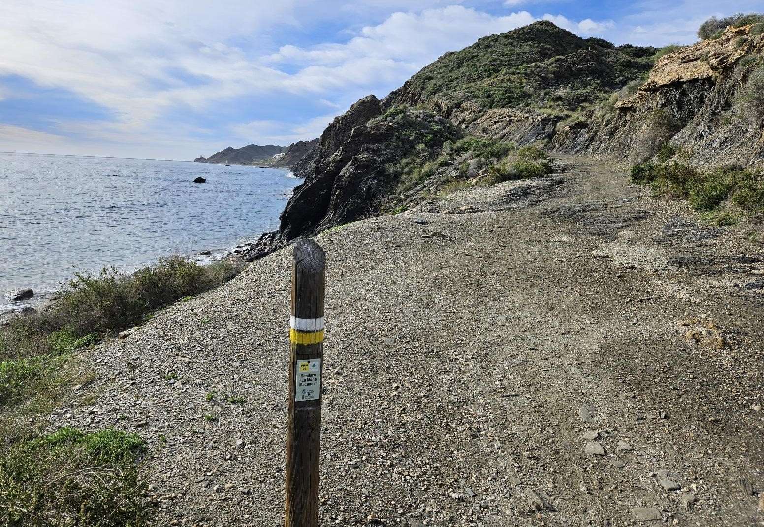
Passing the last of the hotels, a walk information board promises better things.
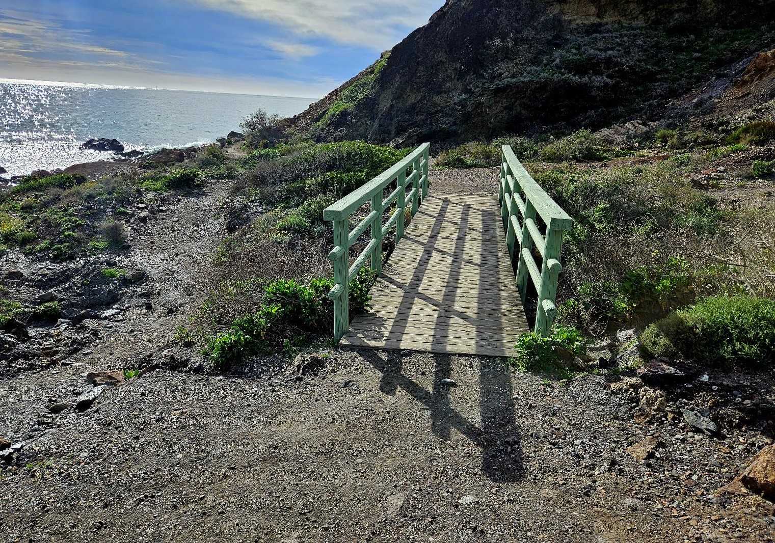
This is the start of the short-distance PR-A 96 route to Macenas. The walking improves immediately as the urban sprawl is left behind.
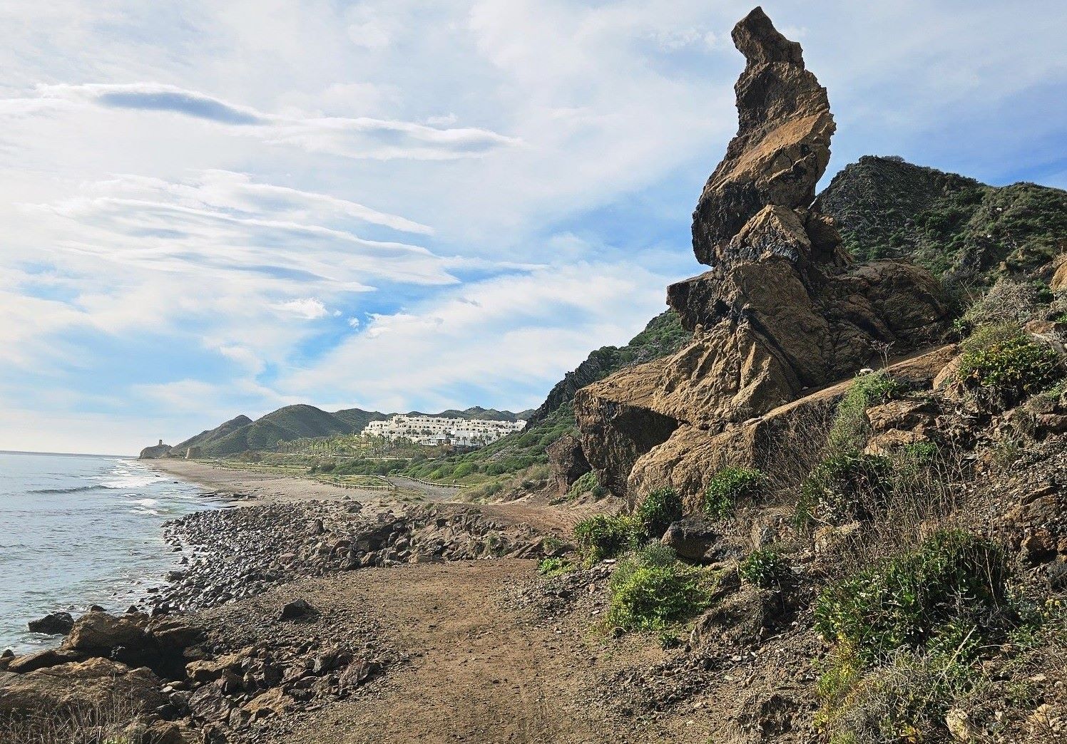
It’s a fantastic path which hugs the shore, high above the sea, passing over a foot bridge and then to the left of a large wizened rock.
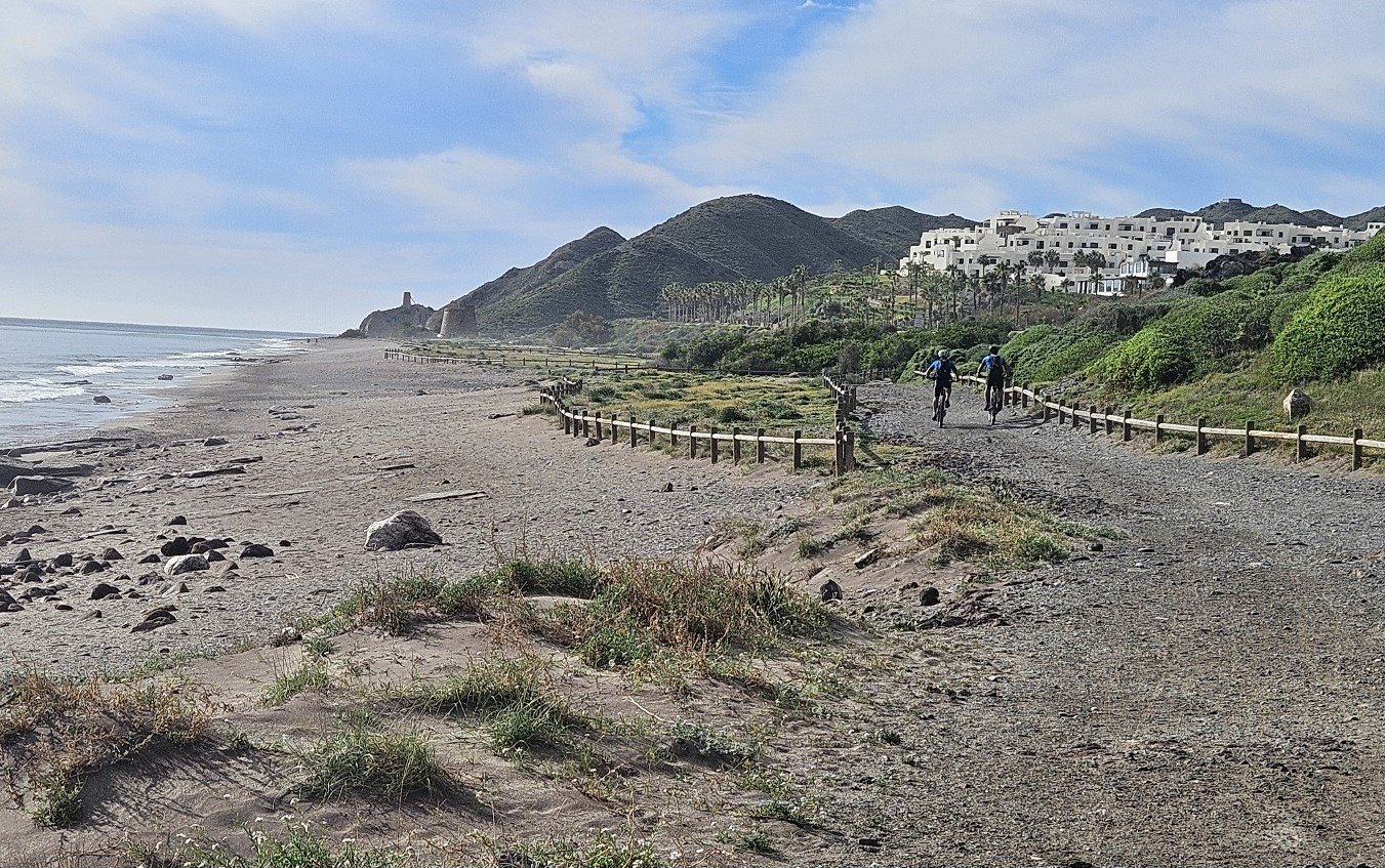
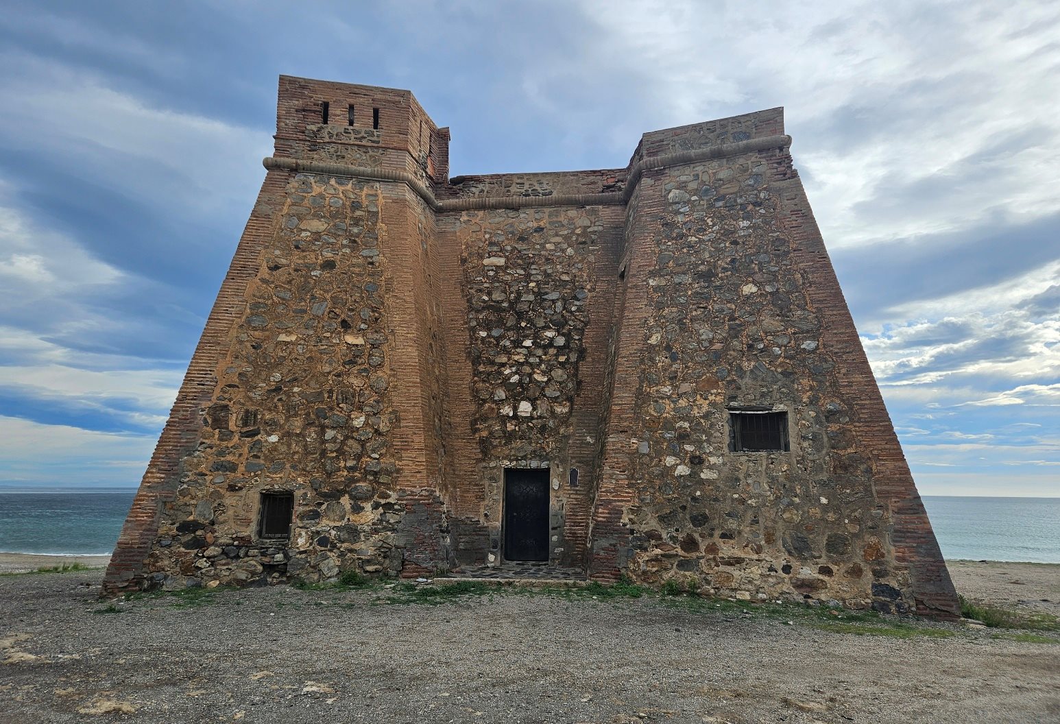
The route drops down to Macenas beach and passes the small castle of the same name, which was built in the 1700s.
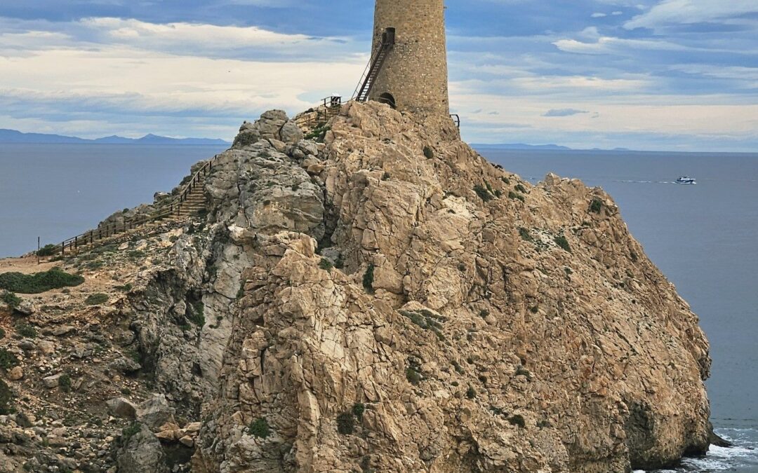
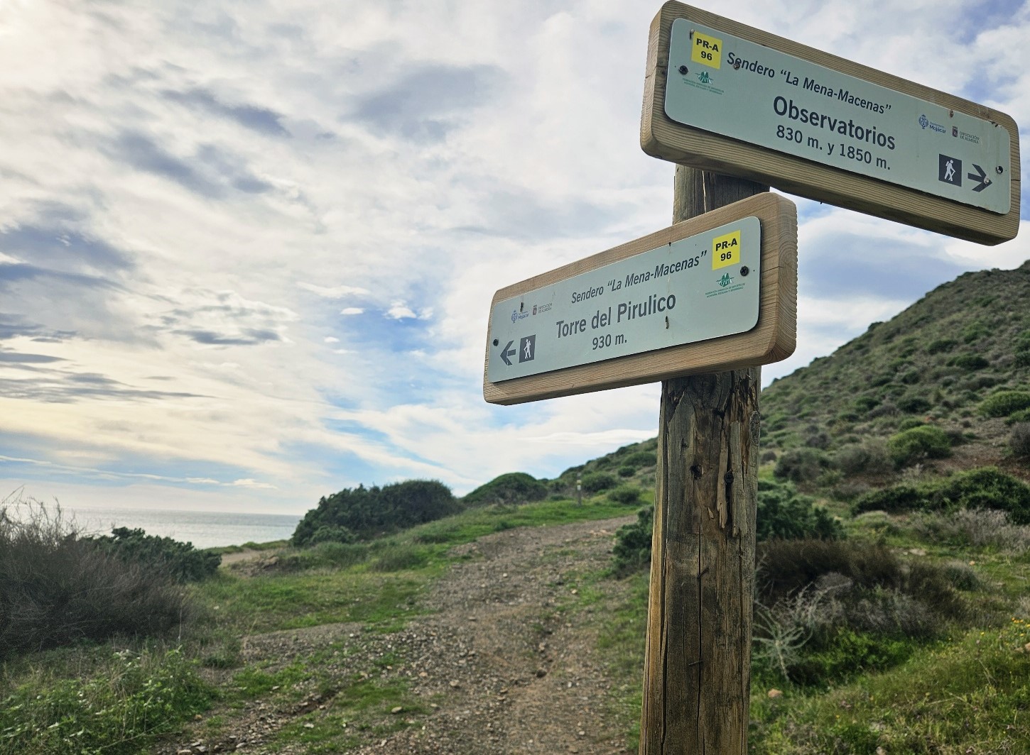
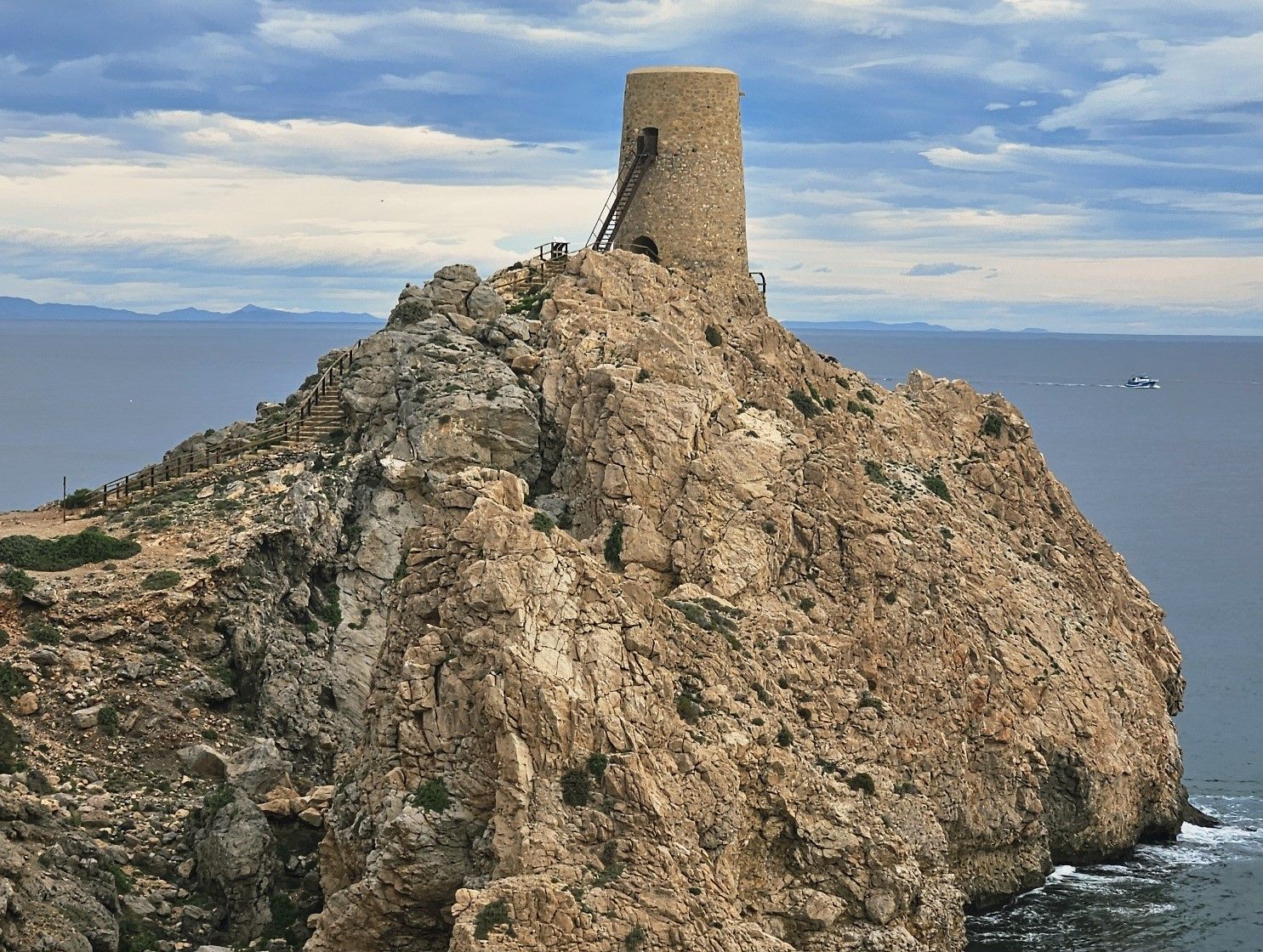
The path then starts a gentle ascent and when it forks, we keep straight on, heading for the Torre del Pirulico. It’s around 1km from the beach to reach the impressive watchtower which has been built on a rock outcrop in the sea.
It is possible to climb up the narrow stairs to get to the top of the tower for spectacular views along the shore.
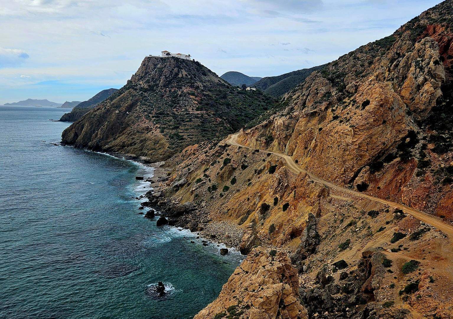
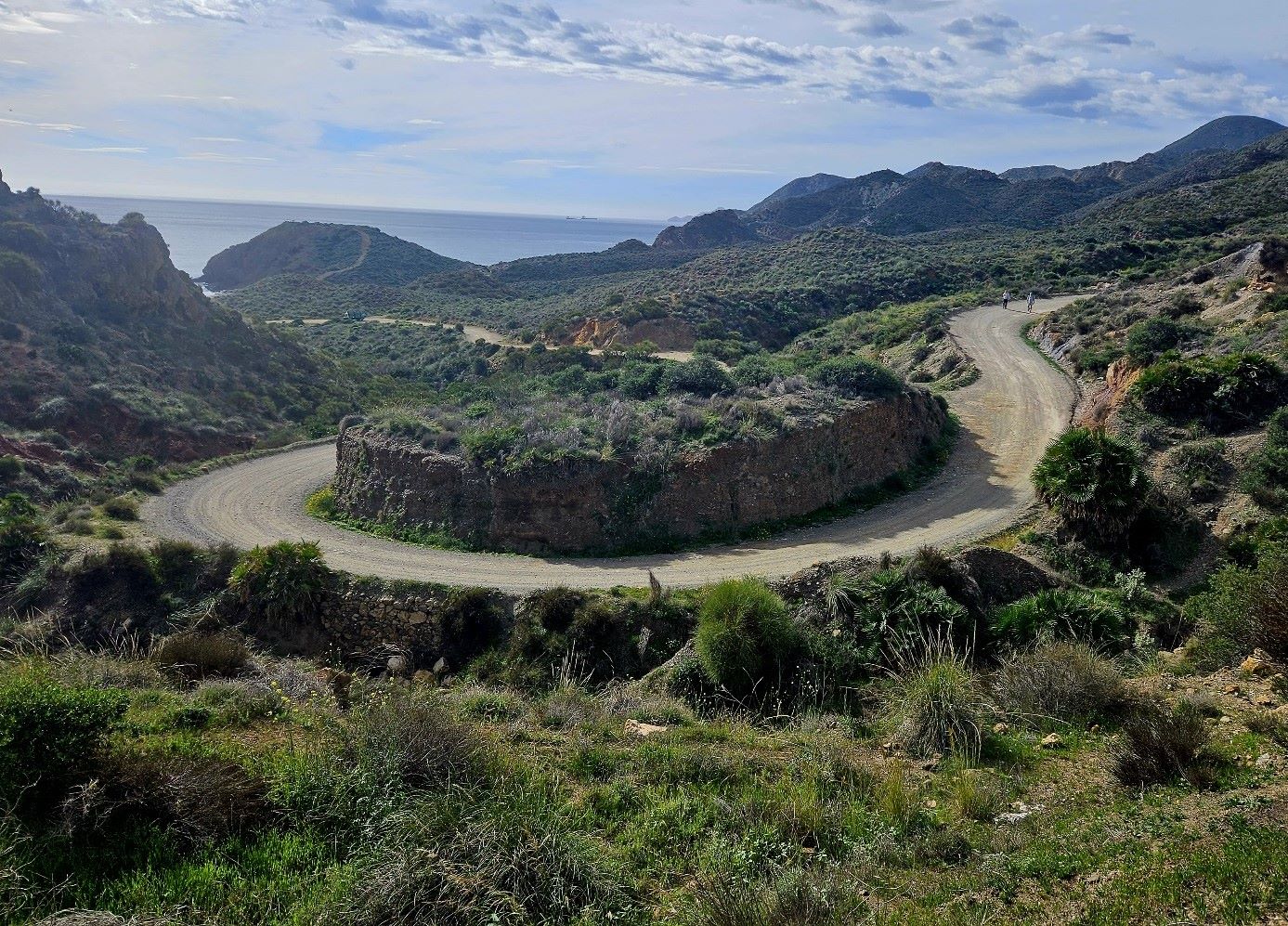
From the top we can see the route ahead; the wide coastal track has to skirt inland to avoid a steep coastal hill which is home to a large property.
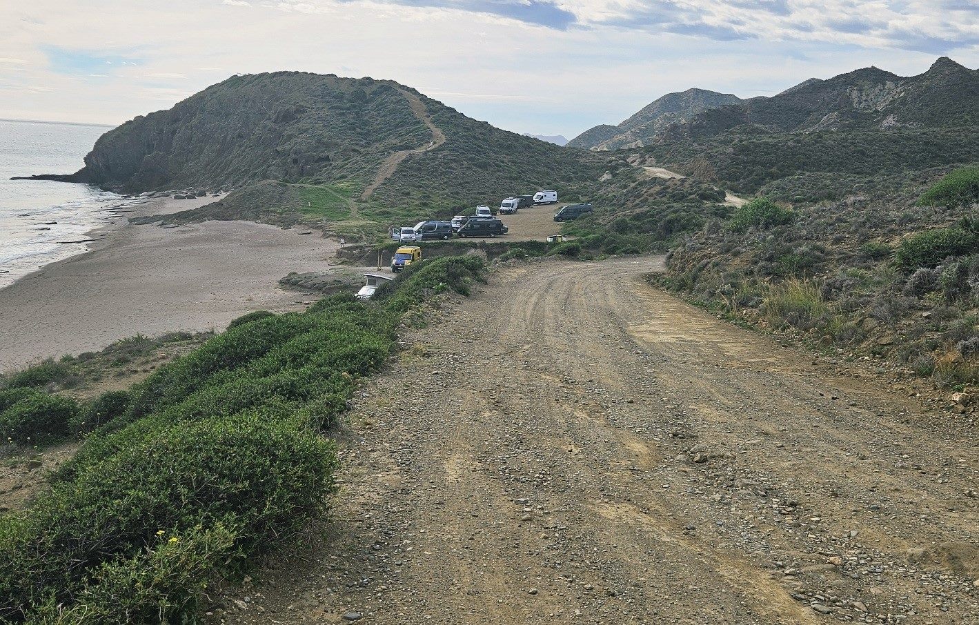
Following the wide track, it goes over a rise and descends to a cove, named Playa Lance de Bordenares.
There may be campervans here which have managed to descend the very rough track to the beach.
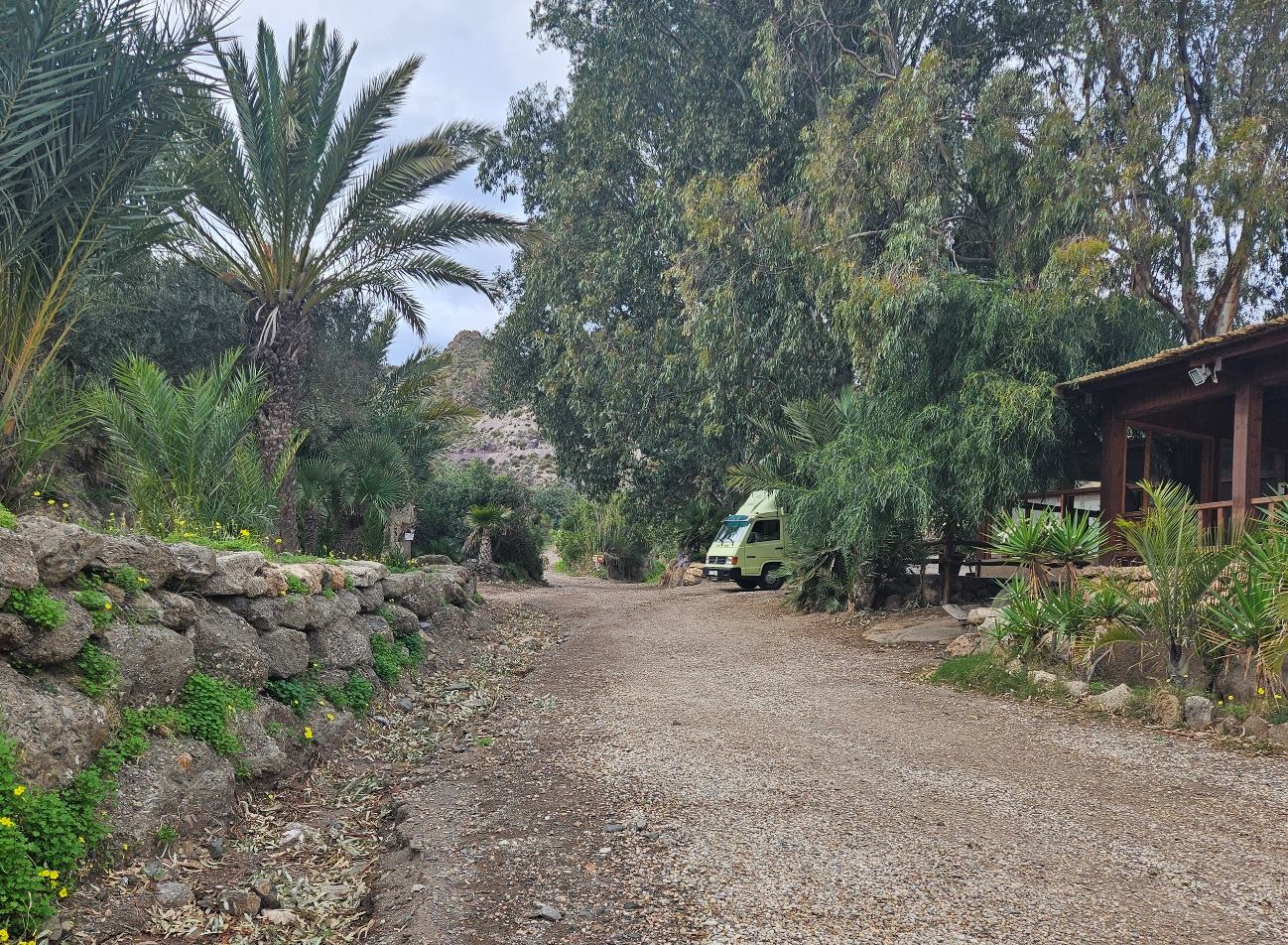
This is where we pick up the Camino de Santiago route. It is waymarked out of the cove on the wide track, passing to the left of the low-rise property.
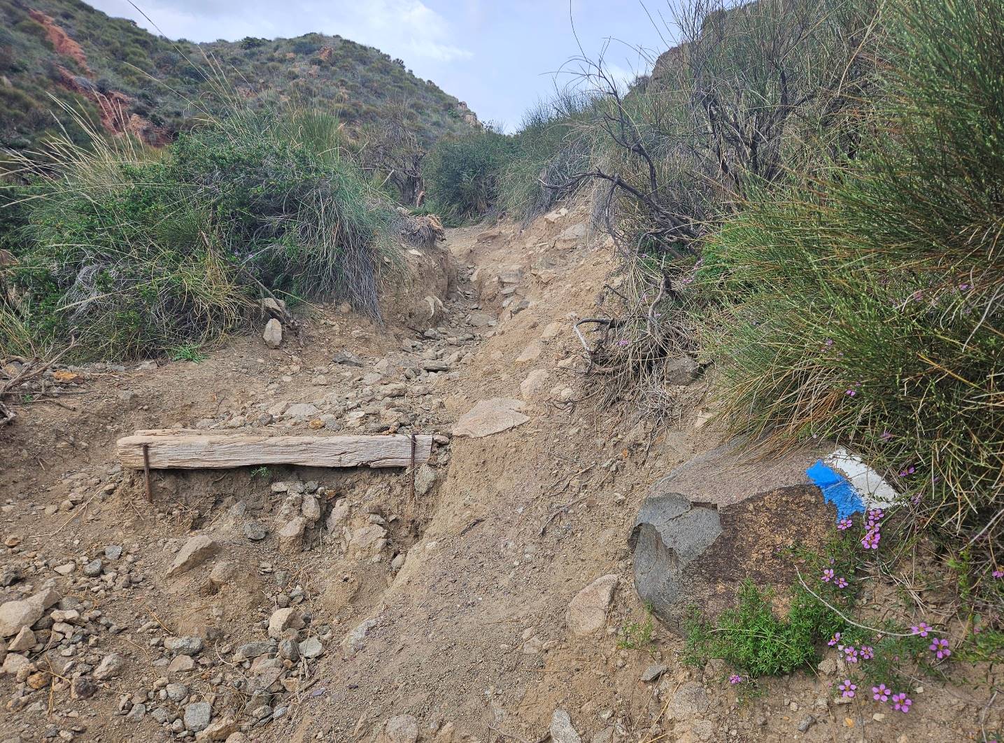
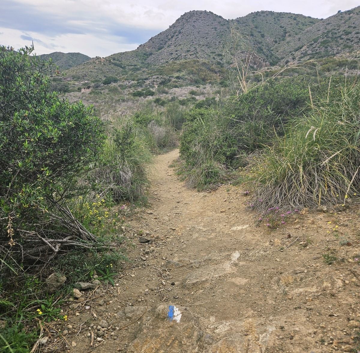
From this point the white/blue waymarks show the way across country to the hamlet of Sopalmo. The coast is now too fractured to follow.
There is some climbing to do at first; the wide track ascends to a point where we turn off right onto an eroded, stepped path which heads up the hillside.
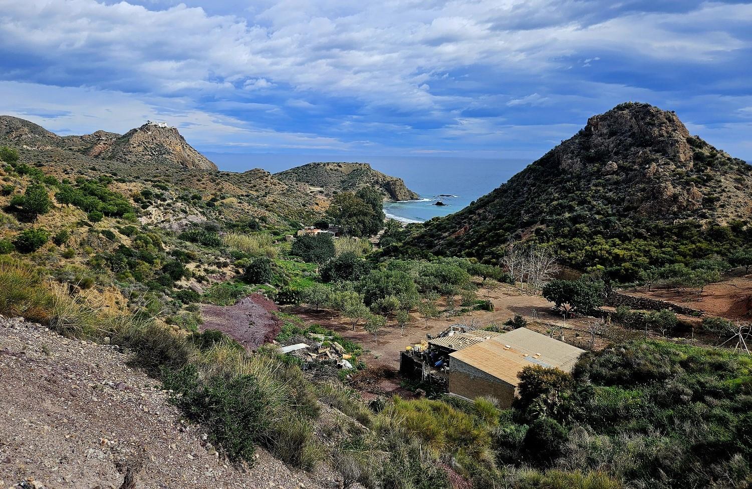
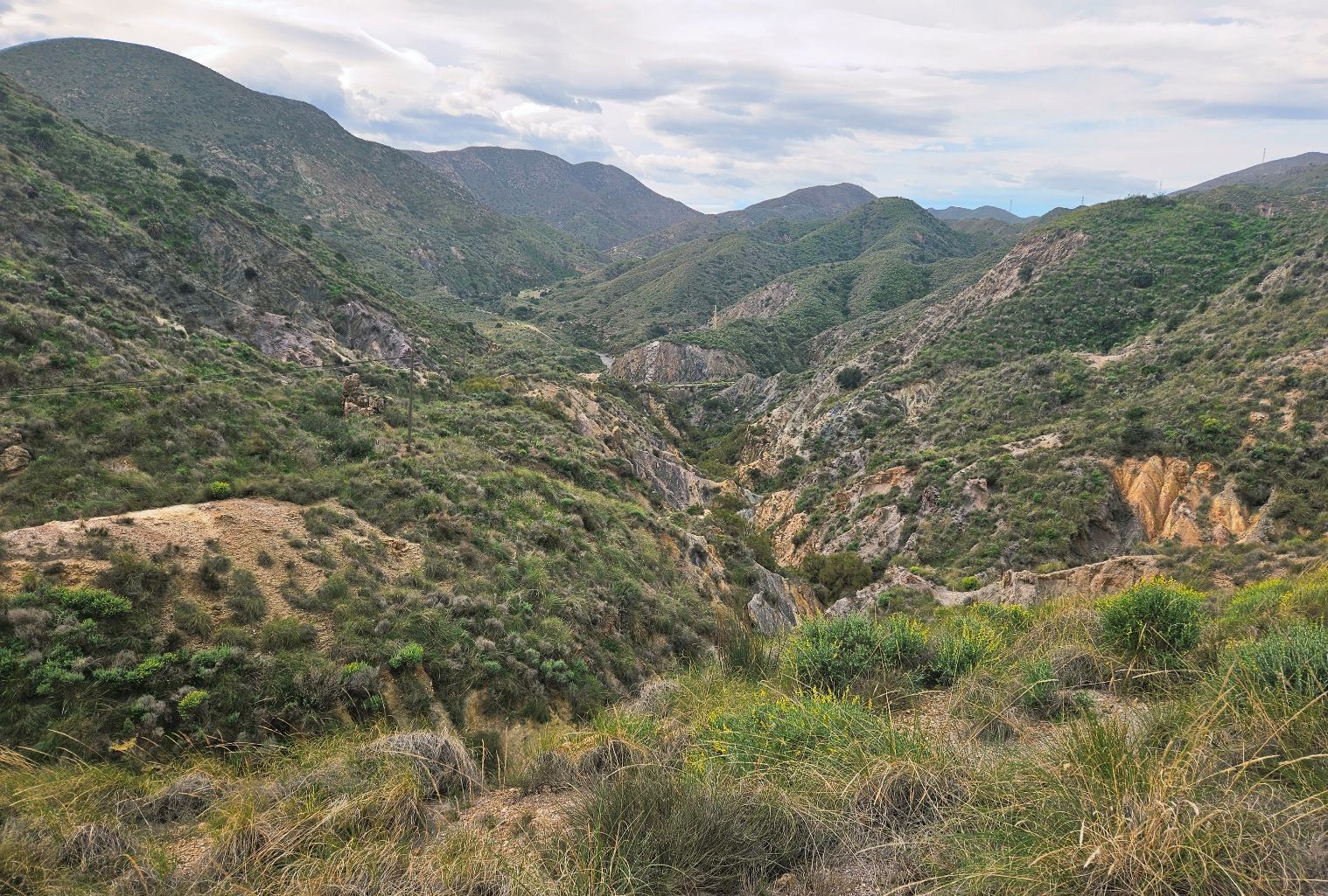
The path goes inland, with waymarks showing the route. It emerges at a point where the Carboneras Fault can be viewed on the left, which is a long gorge that cuts through the hills.
Soon the houses of Sopalmo become visible and the path drops down towards the small village.
Part 2 to follow

Recent Comments