The route goes from Las Negras to San José and it’s the longest stage of the six-day walk.
There is around 27km to cover with approximately 600 metres of height gain, which will take between seven and nine hours.
En route, La Isleta del Moro is a good spot to stop for a snack/meal and a break.
Setting out, we follow the coast and waymarks to leave Las Negras, crossing a footbridge above the beach and then following the road which runs south towards the campsite.
The road goes over the rise. Keep an eye open for the path on the left as the road bears to the right.
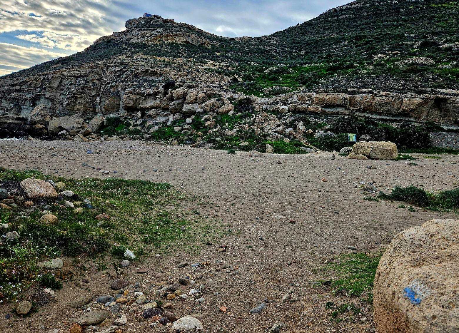
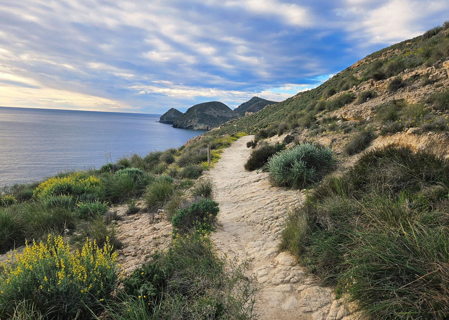
The path goes down to Cala del Cuervo, where we cross the beach and get onto the path which goes up the headland on the far side.
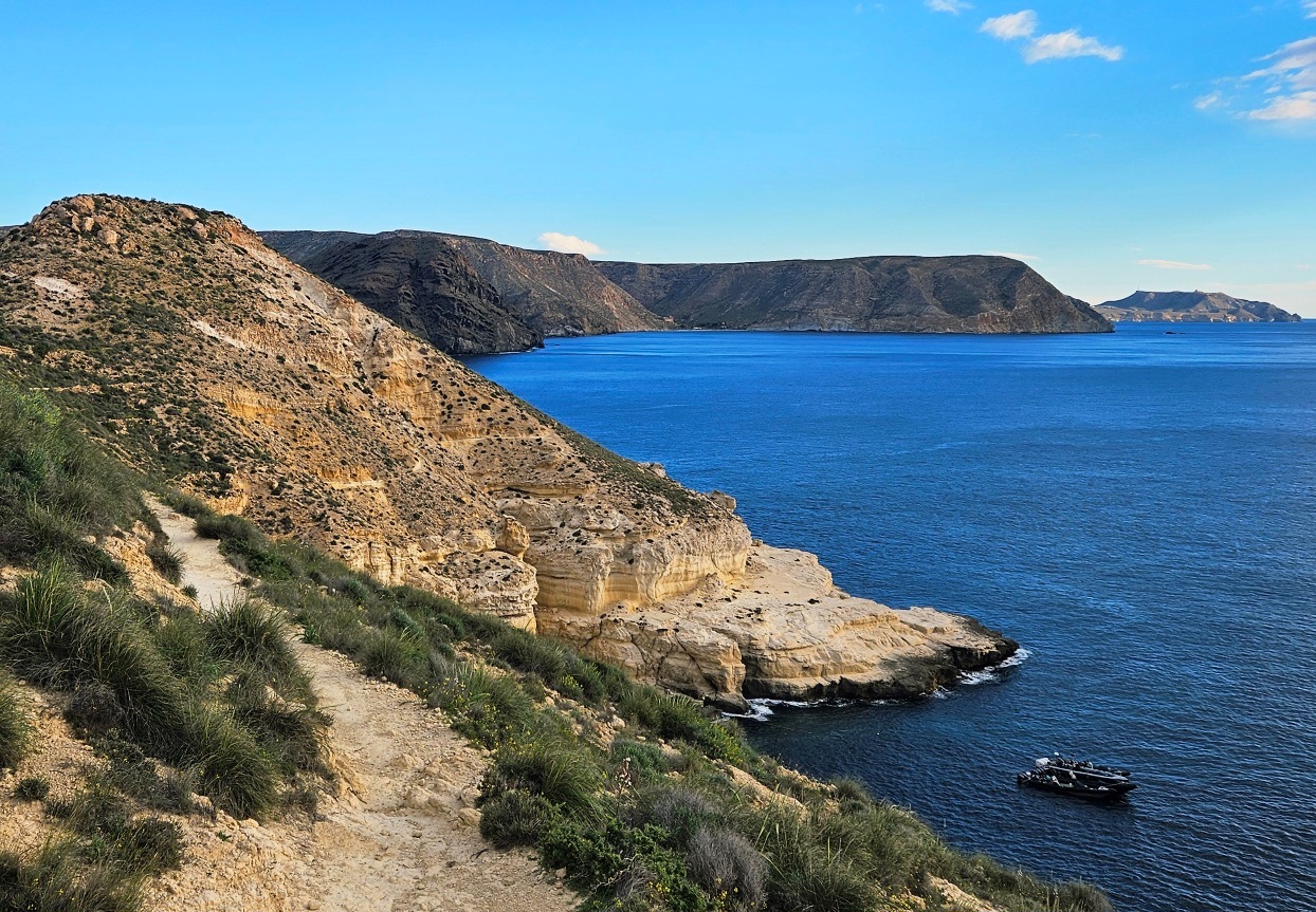
It’s a steep but short ascent. Then it’s a terrific path along the coast, high above the sea.
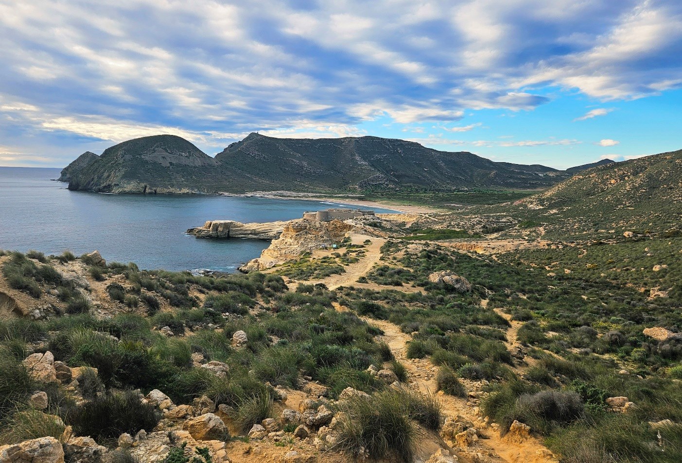
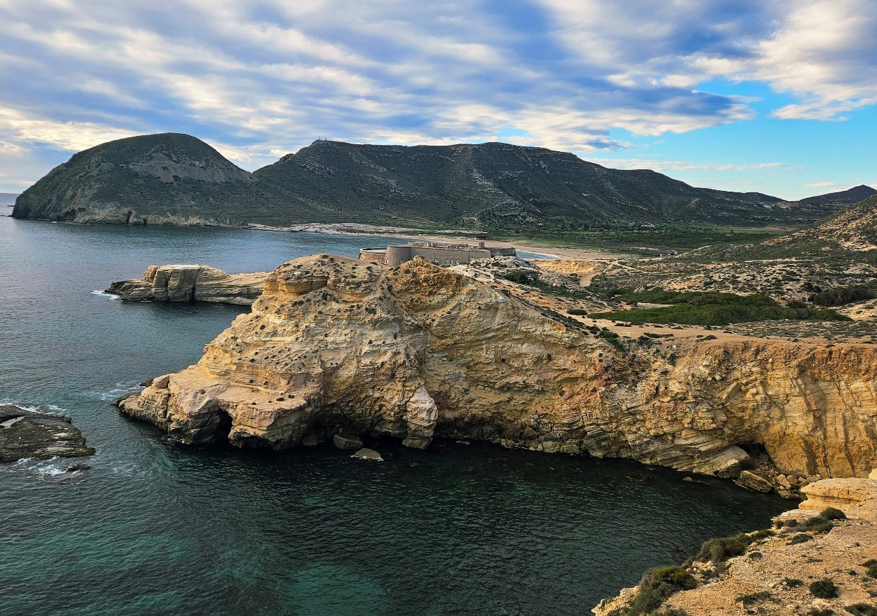
There’s a gradual descent towards the San Ramón battery/fortress which was constructed in the 1700s.
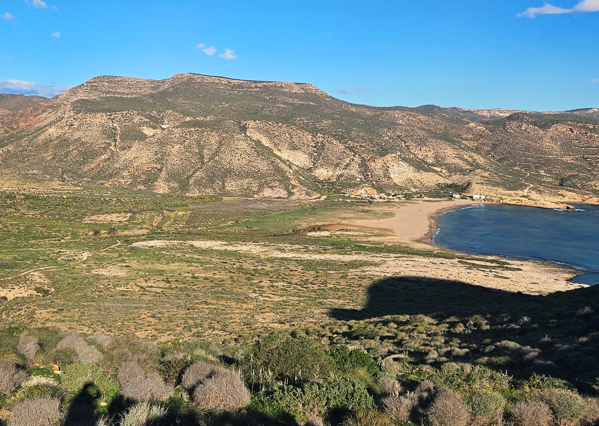
It’s possible to cut across left for a look round the coastal defence, if you want to. The pilgrim route passes to the right, along the wide track which leads to the parking area for El Playazo beach.
There is a special protection area for birds and our path is more than 50 metres behind the beach, running parallel to it.
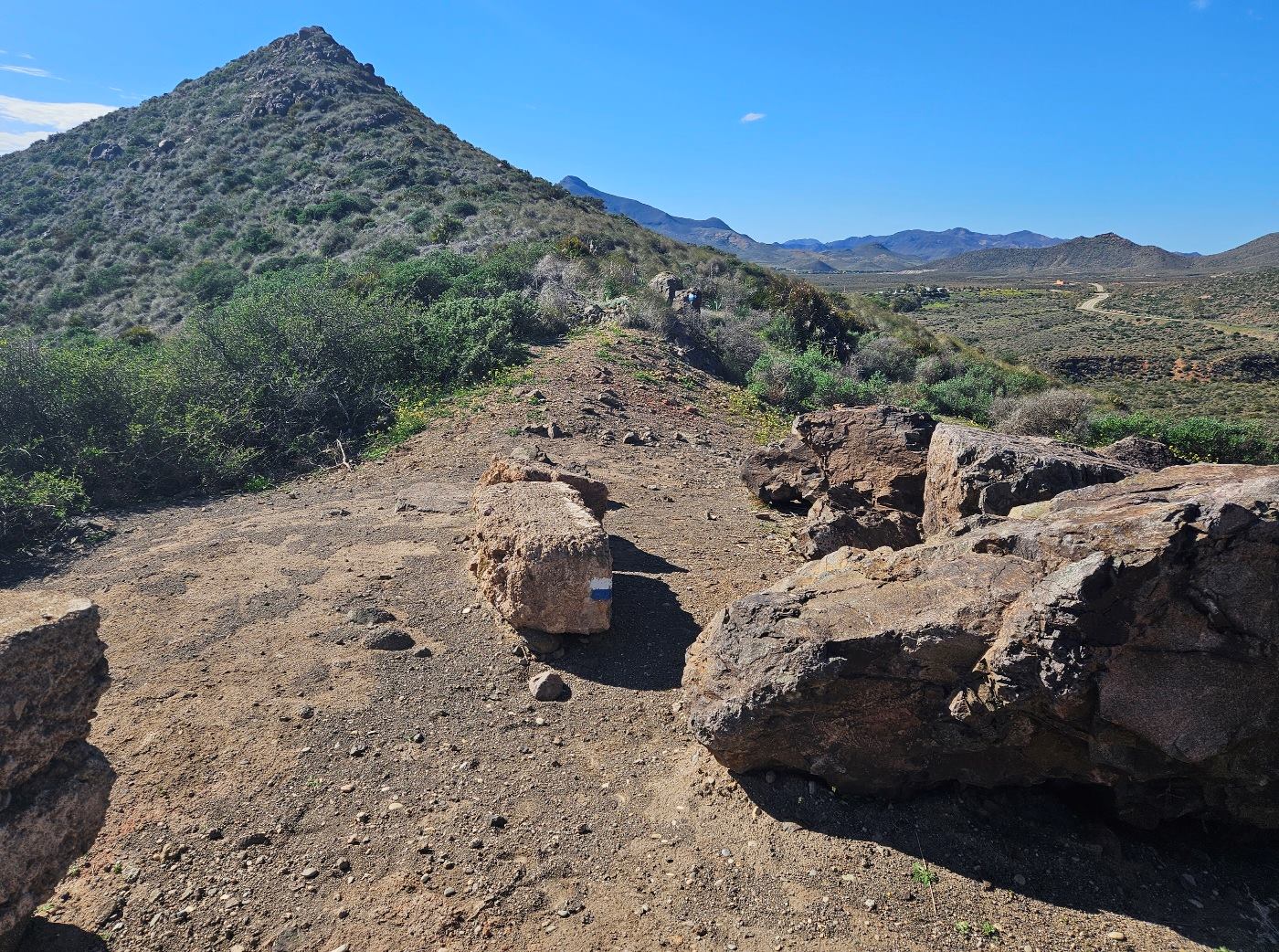
The track heads across to the hill on the far side and starts to ascend it. The waymarked route goes up to the Collado del Bergantín ‘pass’ at a height of 81m.
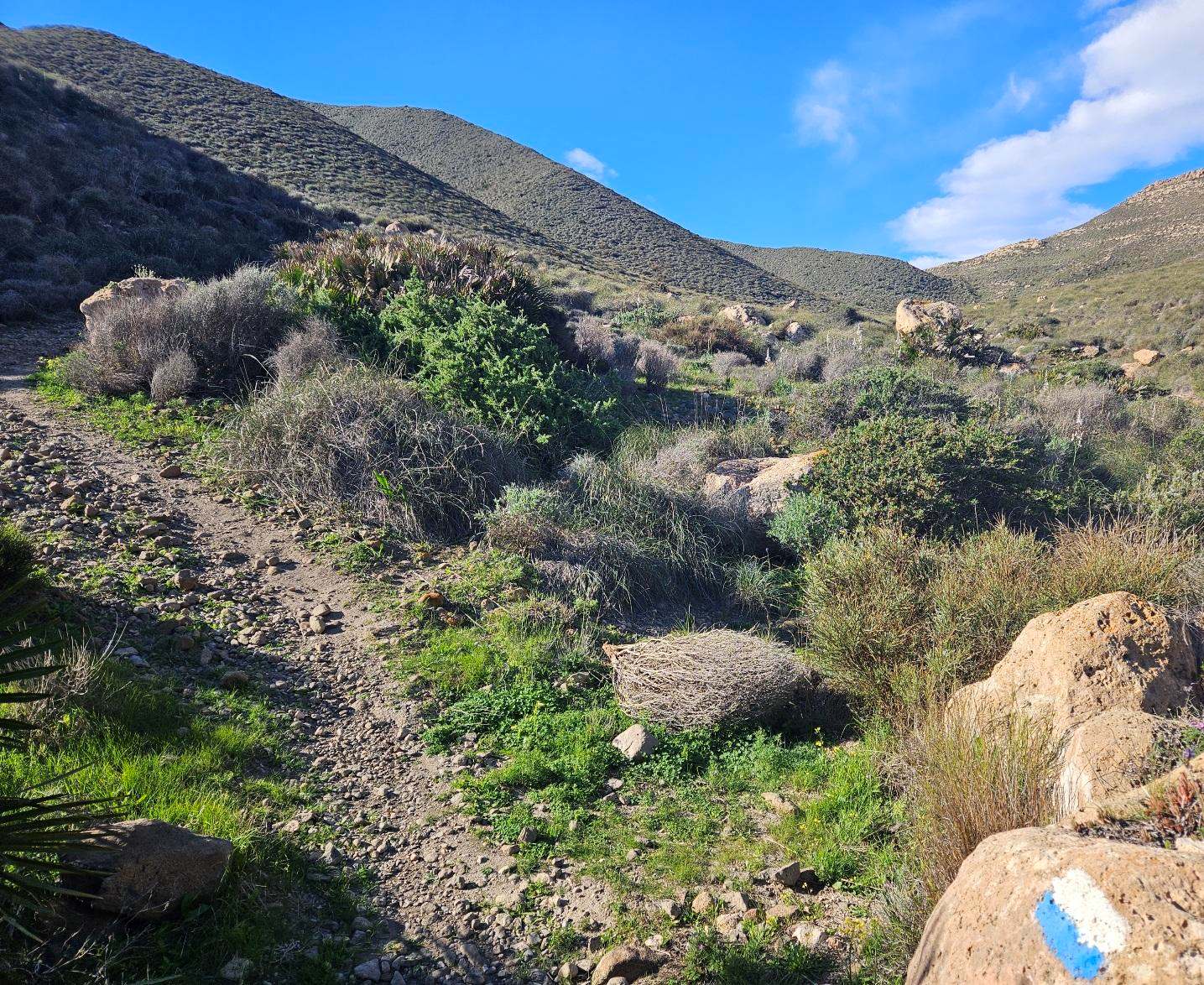
After passing over the saddle, the path follows the coast before dropping down into a long, shallow ravine.
We ascend this ravine on the left-hand side, now on a long-ish section heading inland.
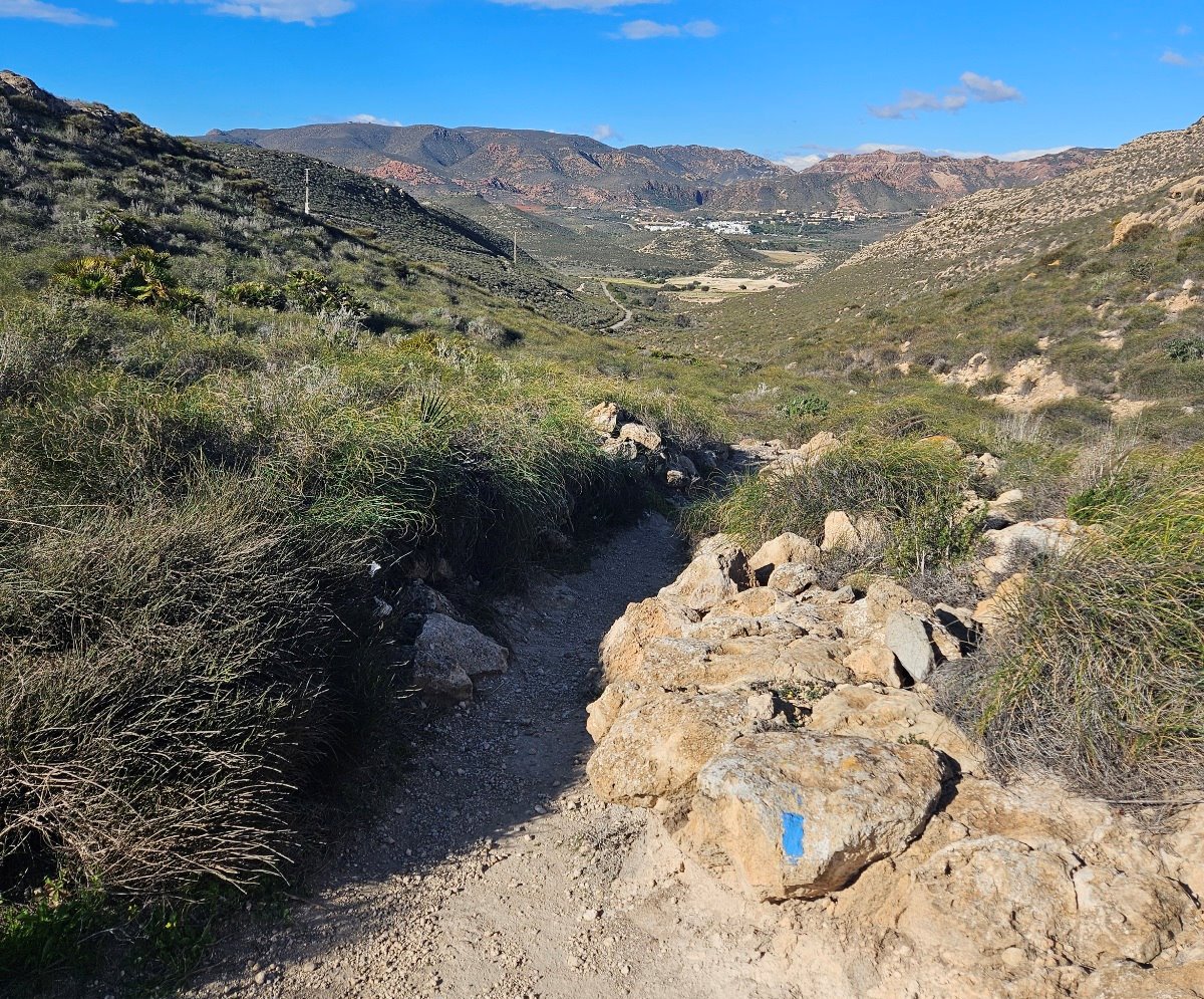
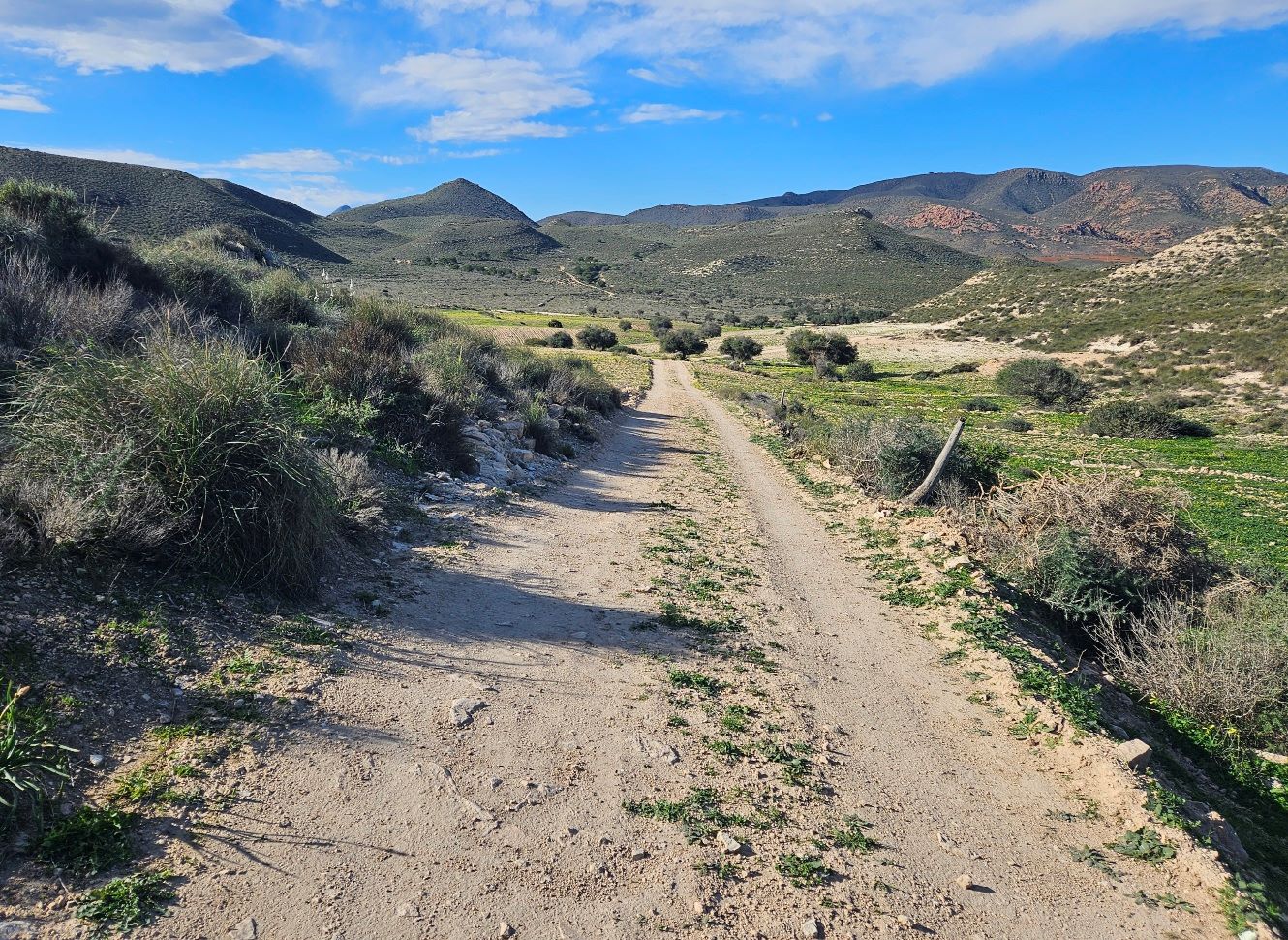
After cresting the top, the path charts a gradual descent to emerge at a wide track. Bear left to follow the track.
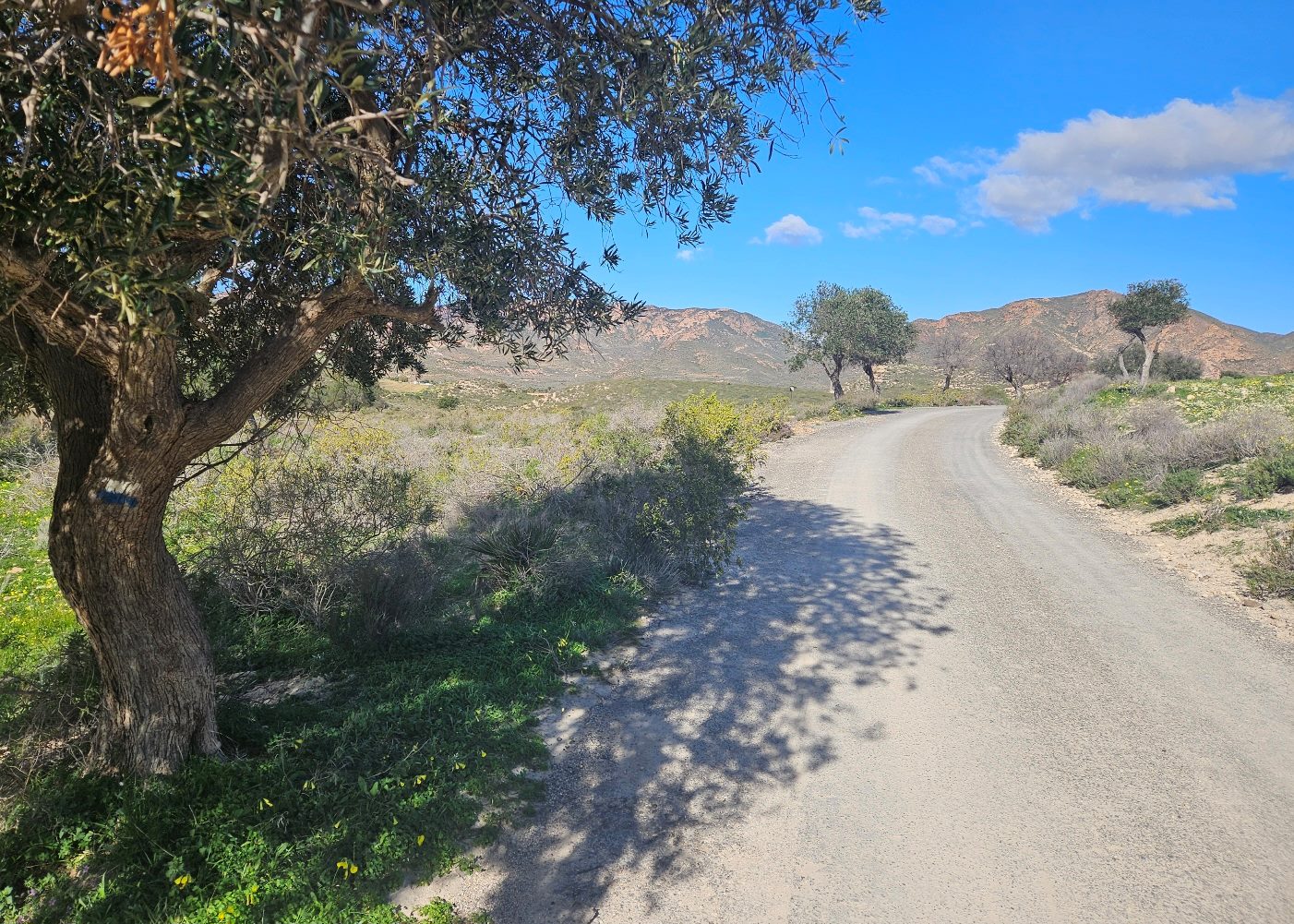
The route reaches a surfaced lane; we bear right to walk along it.
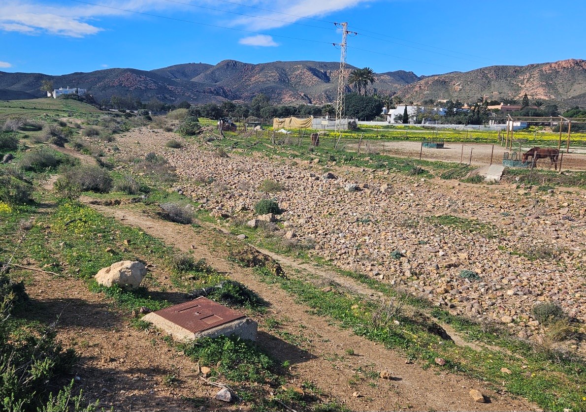
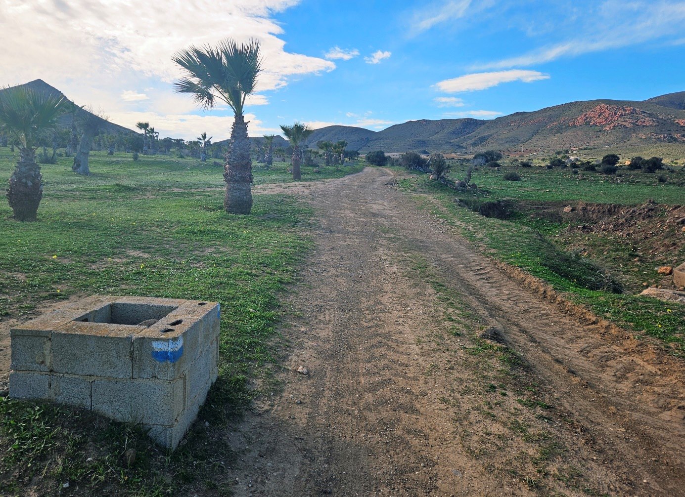
Keep on the lane to reach an area where we can see a stables on the left. At this point we bear left to follow the left bank of a stony, shallow watercourse.
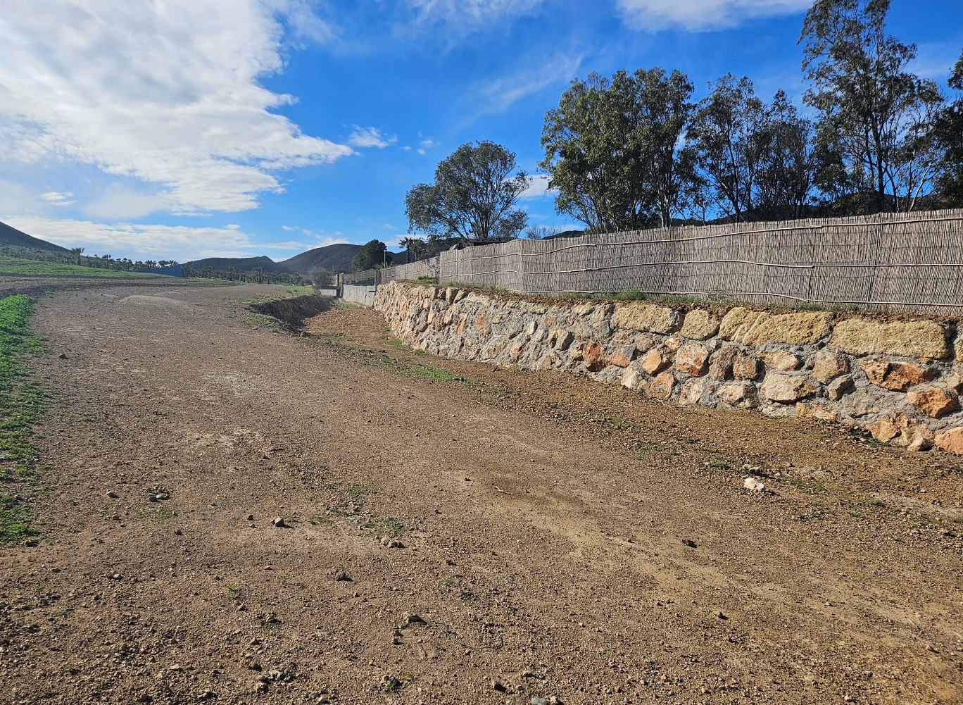
The route passes to the right of the property on the raised ground and then turns left when we arrive at a wall and cane fence.
Walk away from the watercourse on a wide track; it runs alongside a palm tree plantation.
Keep straight on at an intersection of tracks. We head through an area of fields, with the main road away on the right.
When the track runs out of steam, we continue straight on, now on a path.
On reaching the road, bear left to walk along the left-hand side. After around 100 metres it’s possible to get on a path running next to the road.
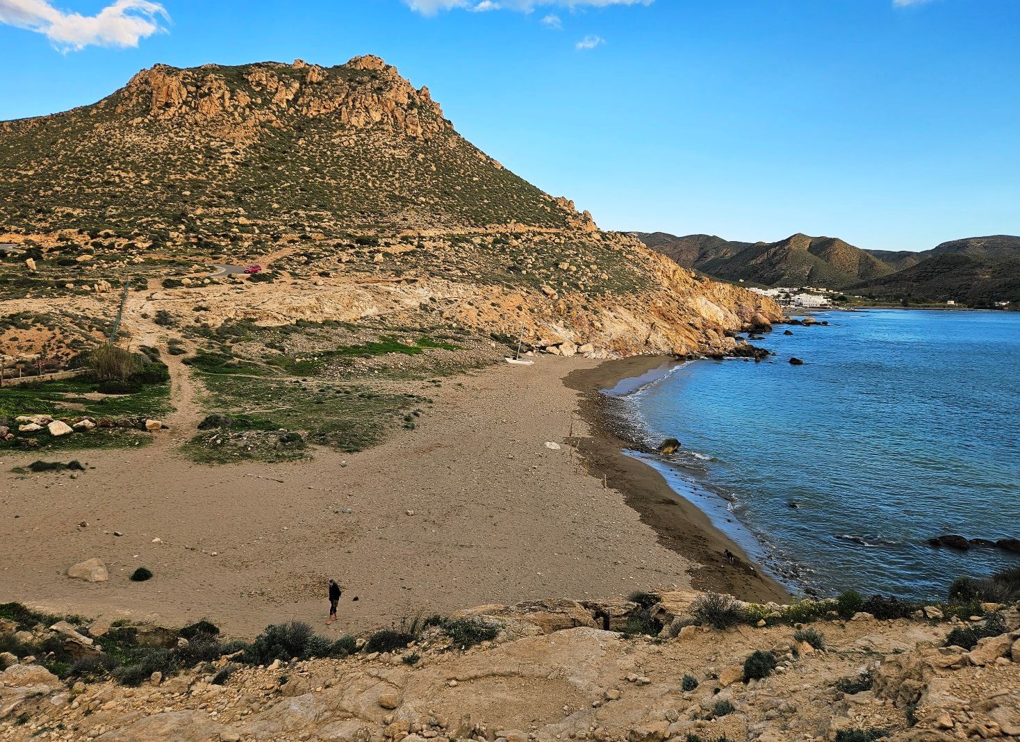
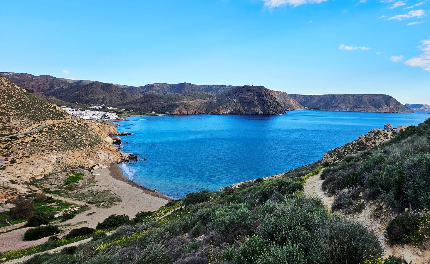
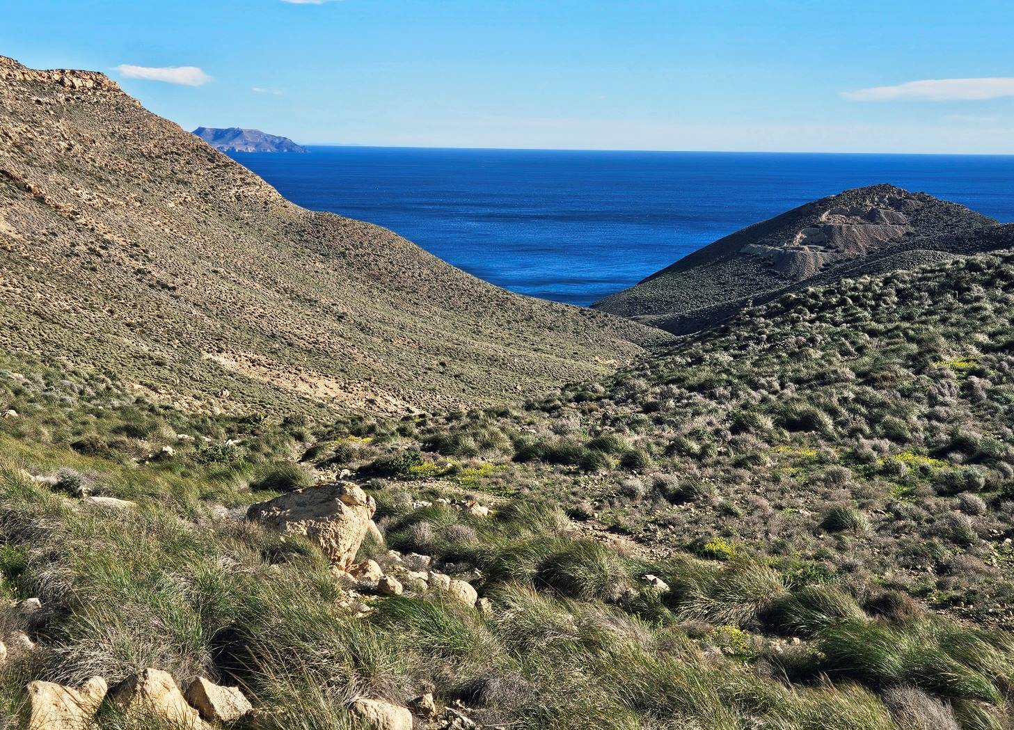
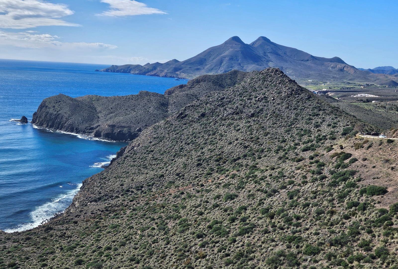
At the top of the rise there is another fantastic view along the coast. We drop down to the Amatista viewpoint which is a popular spot for motorists to see the vistas.
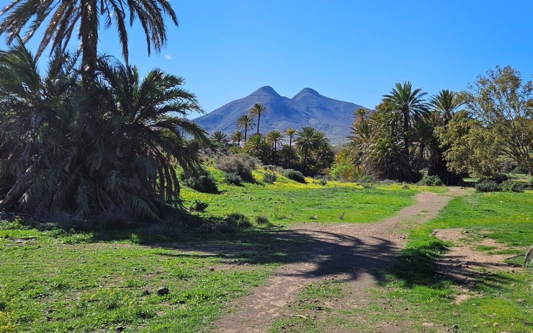
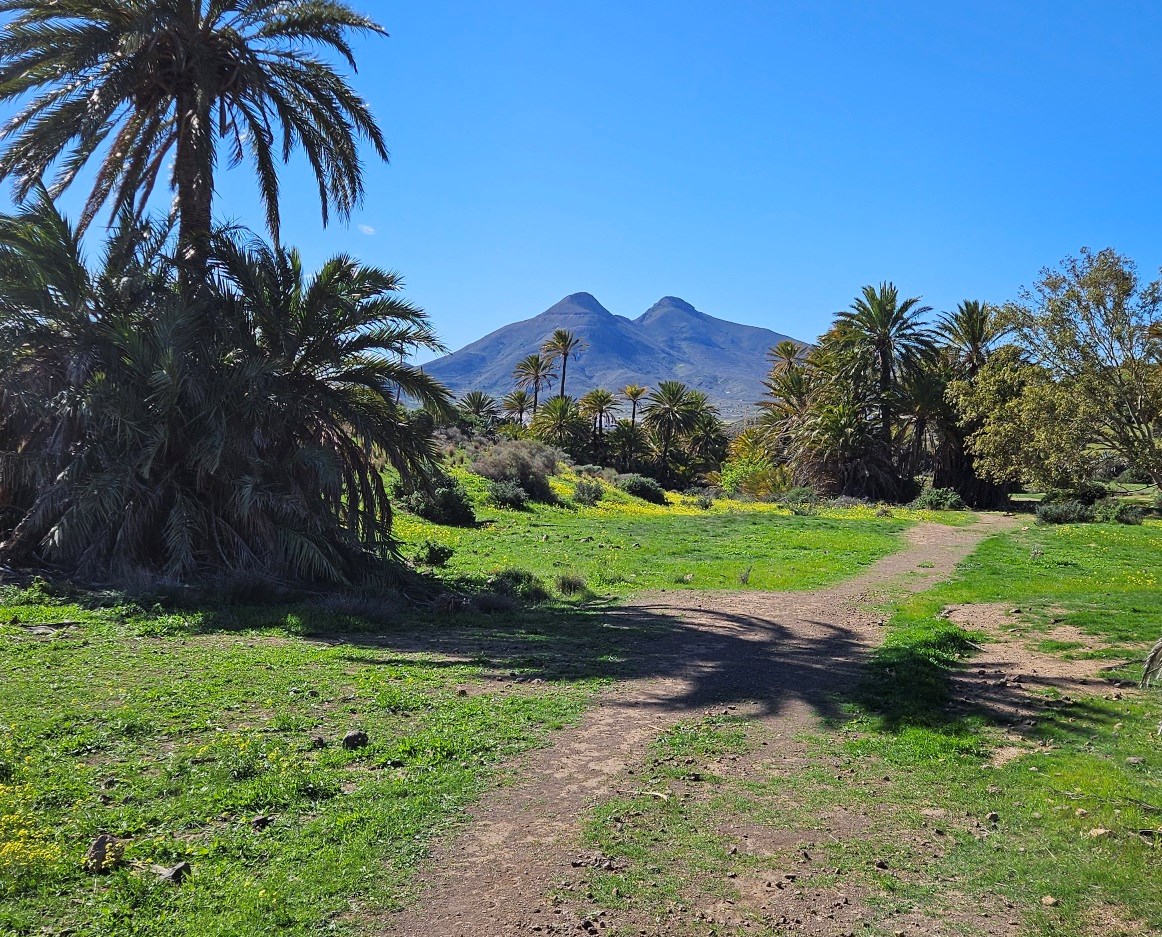
There is a good view of Los Frailes, the twin-peaked extinct volcano which we will walk around later in the day.
Walk down the road from the vantage point to the bend. Here we get off the road, noticing the waymarks, and descend on the path. It starts to bear left, heading towards the sea.
The path drops down an eroded path to emerge near Cala de los Toros, but doesn’t go all the way into the cove. If you go for a look at the stony beach you will have to retrace your steps.
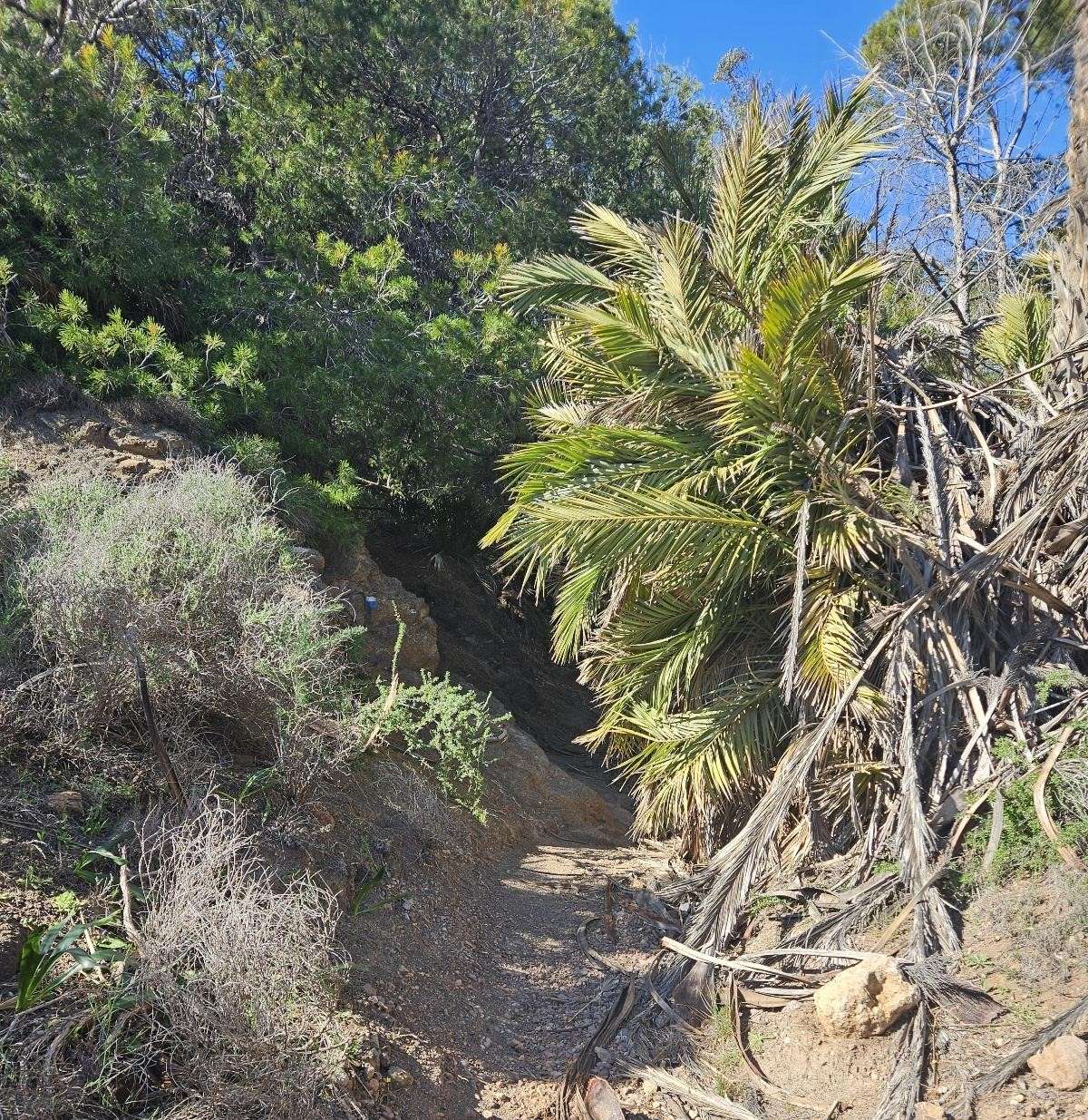
Just above the cove the path bears to the right to start a short ascent through the fan palms and trees; this is one of the very few wooded areas in the Cabo de Gata.
After cresting the rise the path drops down, heading through a lovely grassy area with palm trees, looking out towards the volcano.
There is definitely something Moorish about this enchanted spot. It conjures up images of North Africa; so it’s fitting that we are heading to the Moor’s islet, La Isleta del Moro.
Part 2 comes next
Recent Comments