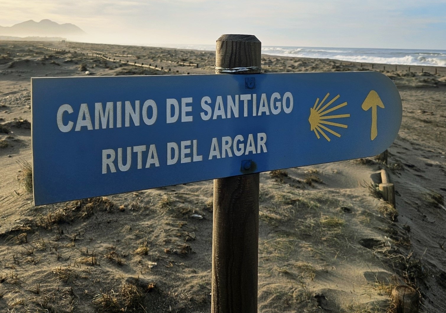
This is the final stage of the walk. It’s as flat as a pancake and runs from the town of Cabo de Gata to Almería along the seashore.
It’s the least interesting leg of the hike; but still has some merits which could persuade you to walk to the city rather than taking the bus. Watchtowers, dunes, seascapes, etc.
And, after all, we are walkers; it’s what we do. Ambling along the coast next to the sea could never really be considered a hardship.
The route to Almería is 25km, with around 30 metres of height gain. It will likely take between six and eight hours, depending on what you get up to en route.
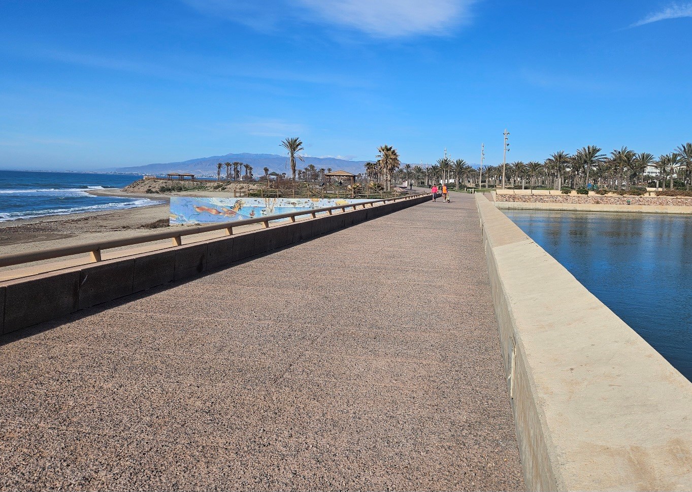
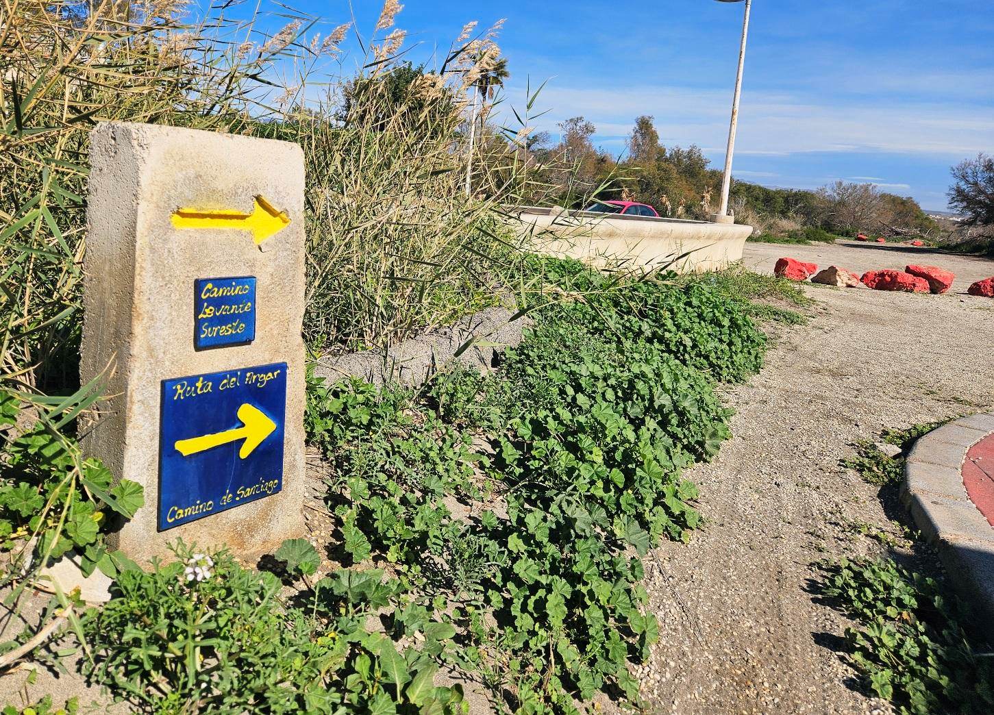
We follow the promenade out of Cabo de Gata town and head straight along the shore.
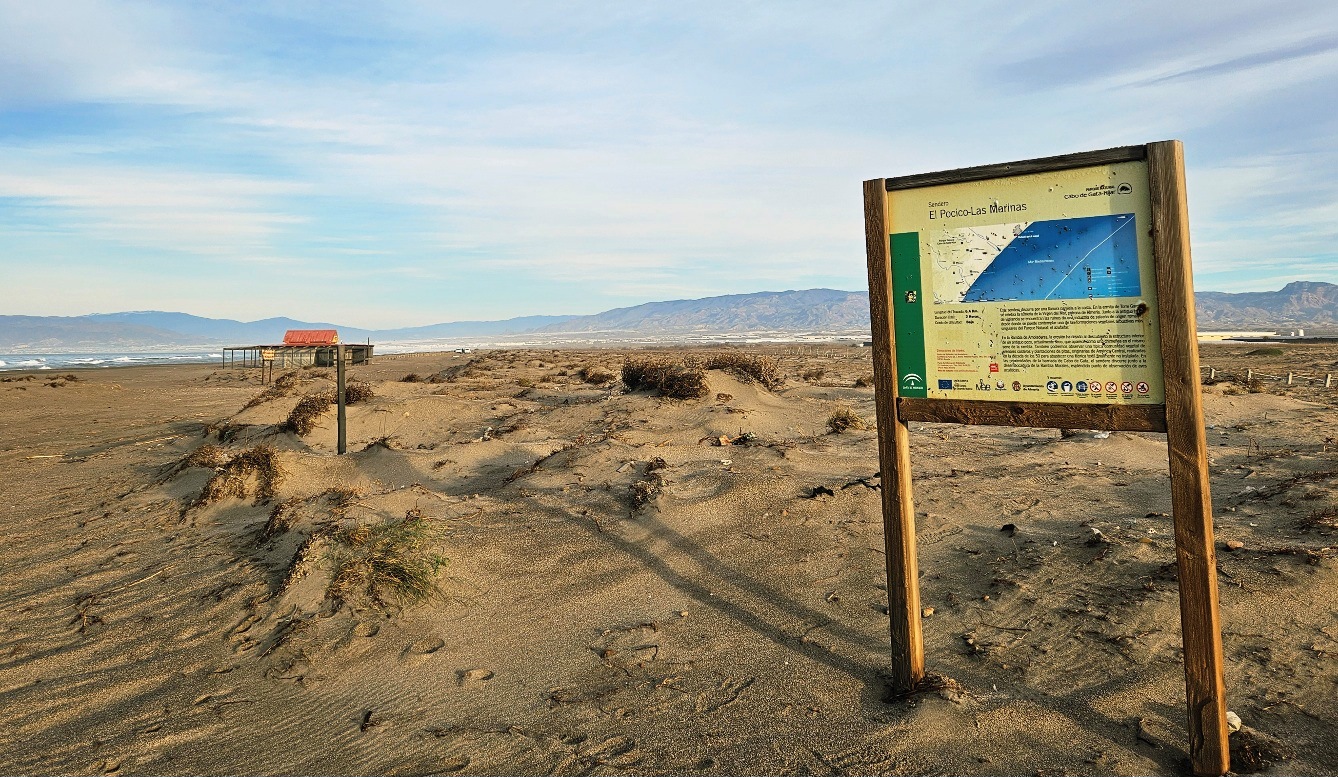
See the walk board, when the promenade ends. This explains that it’s 6.5km to the Torre García watchtower along the track which runs behind the dunes.
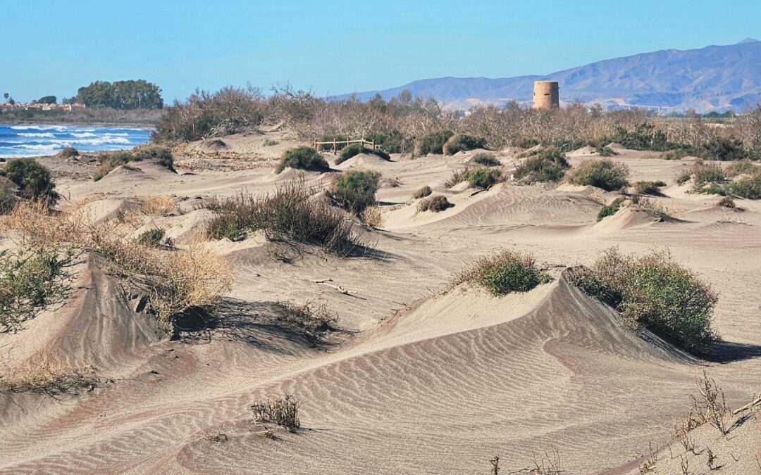
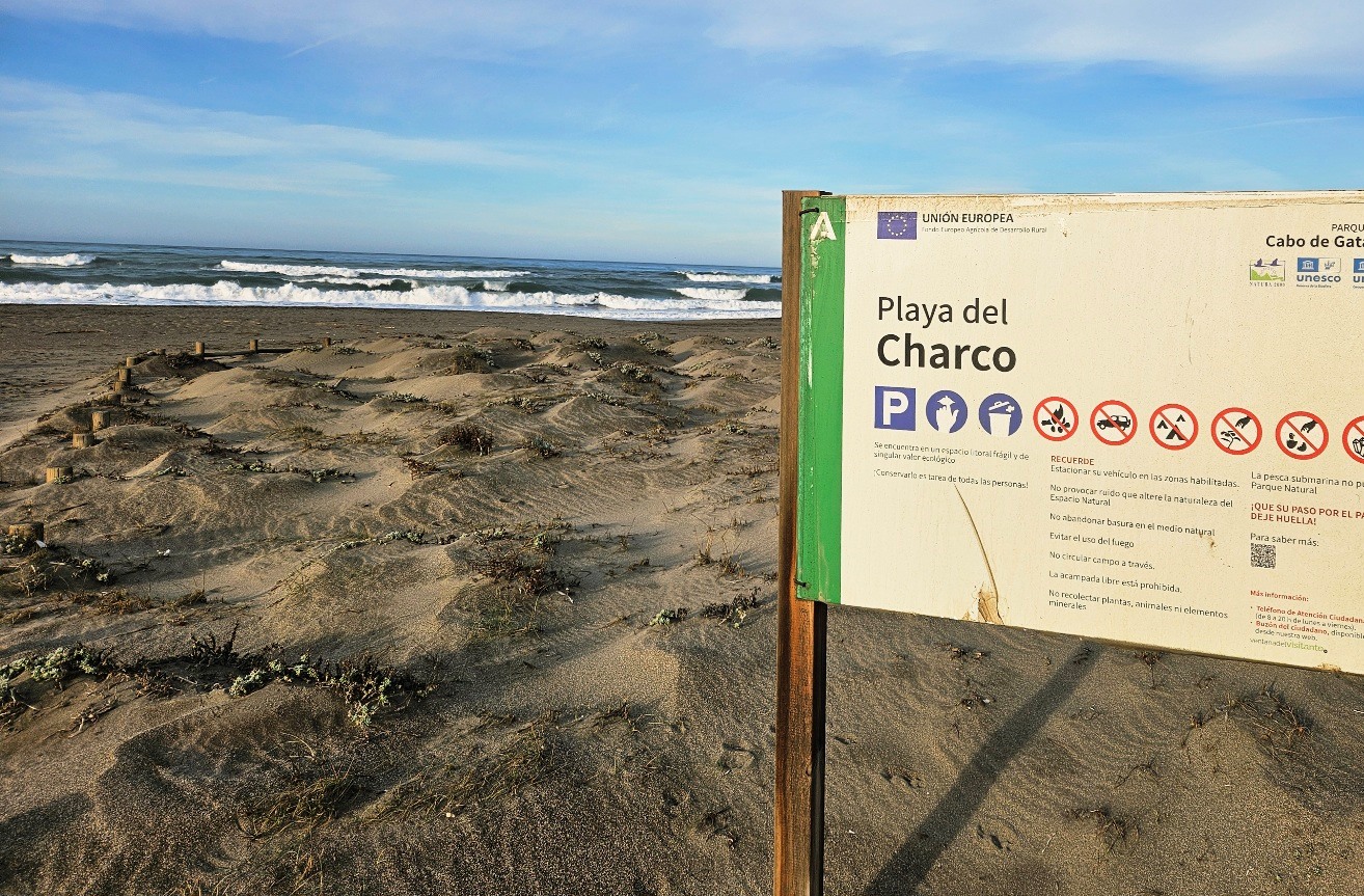
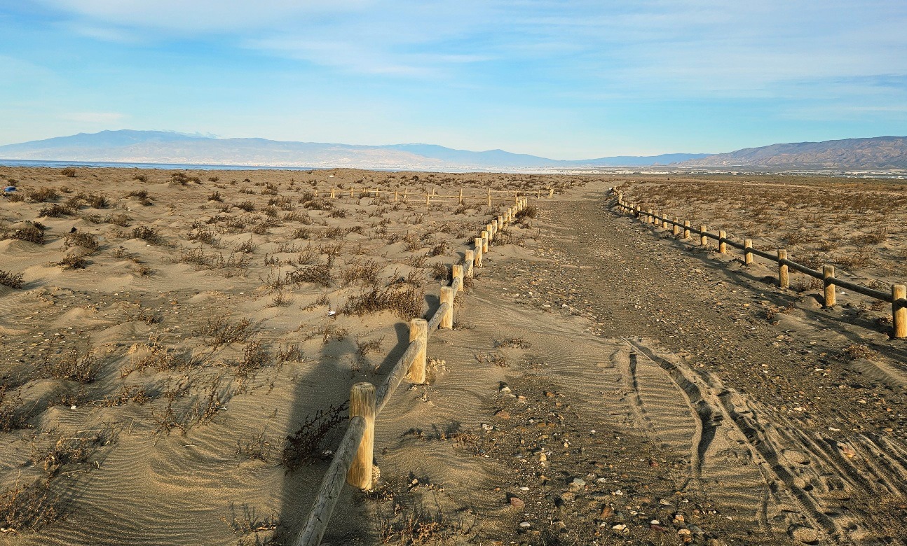
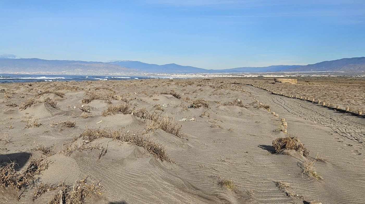
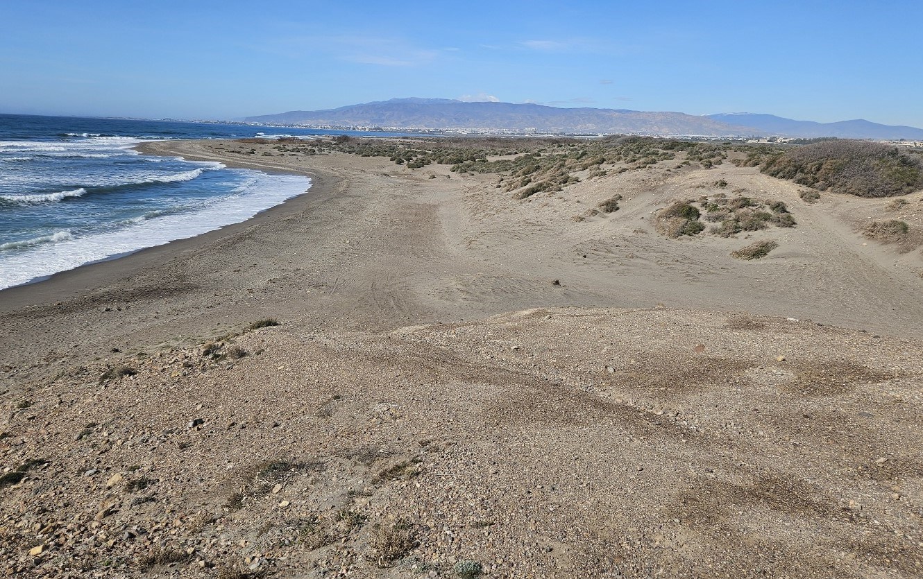
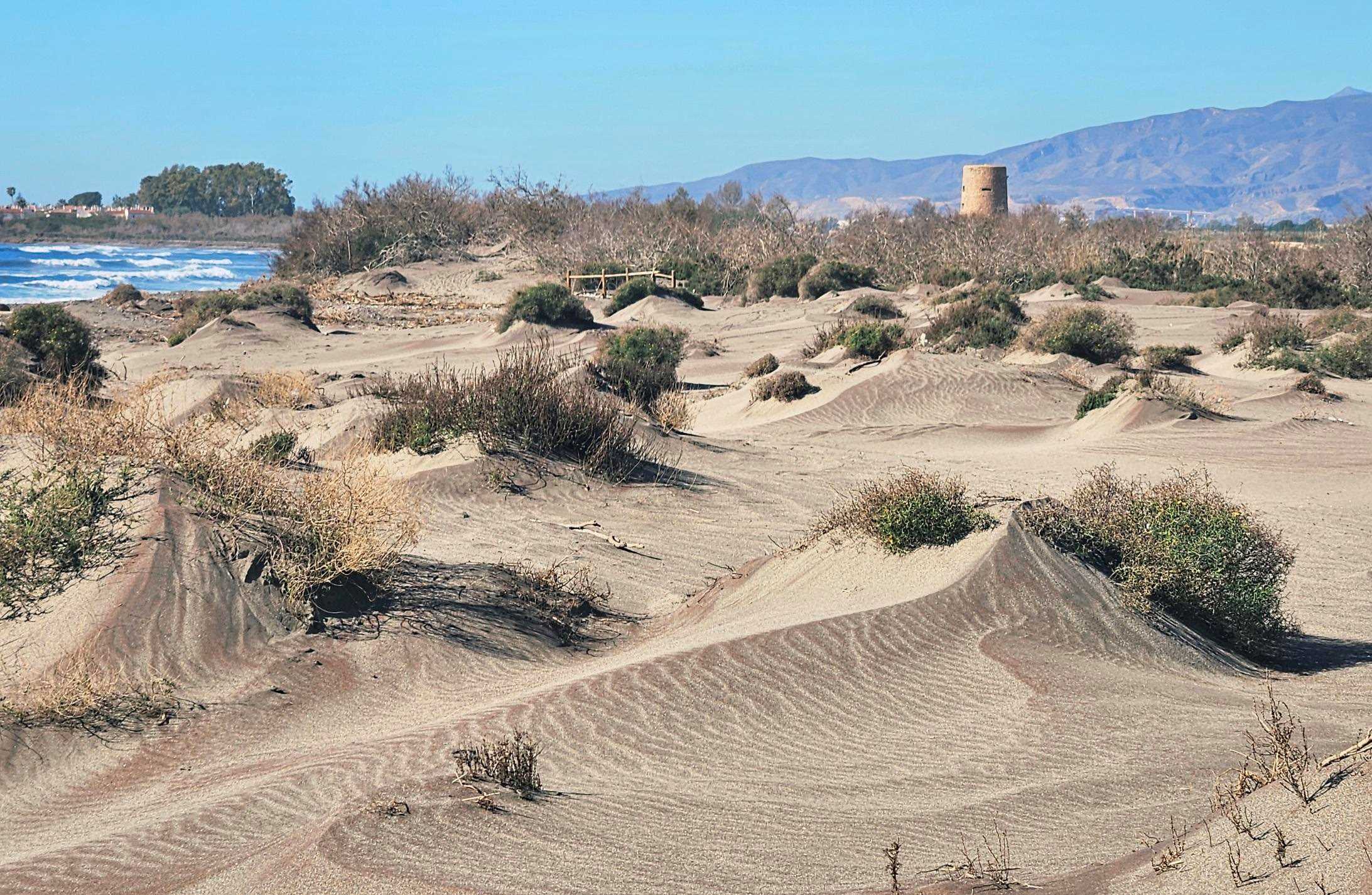
It’s a sandy walkway running parallel to the beach. The dunes are of high ecological value, according to the signs. But we can pass from track to the beach and back when it suits us, using the corridors available.
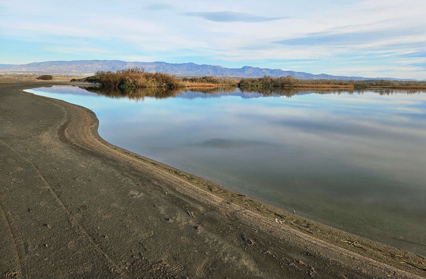
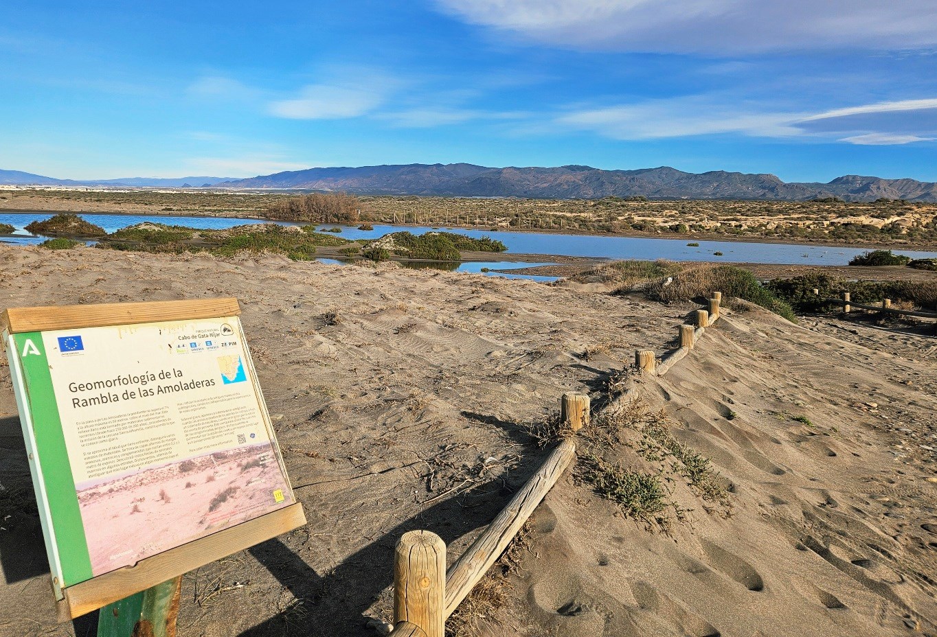
The route comes to the Rambla Morales, where a large pool is home to wading birds. The path passes on the sea side.
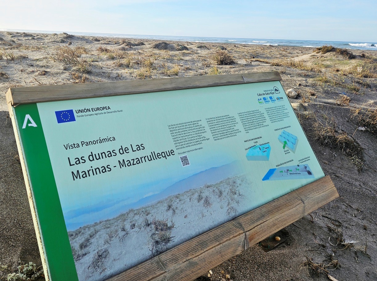
Next up is a board which tells us about Las Marinas-Mazarrulleque dunes. Then we are walking along or behind the Playa de las Amoladeras.
Water ahead partially blocks the route; it’s the Rambla de las Amoladeras, where wading birds can be viewed. Again, we keep to the sea side to cross over the watercourse.
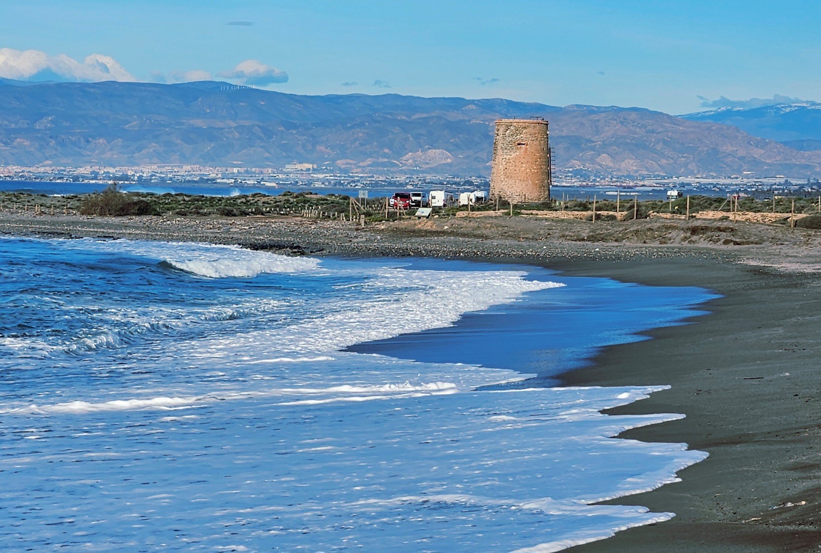
A watchtower appears on the horizon; and that’s where we are heading. Just before it, the ruins of the Roman fish salting ‘factory’ can be seen.
Pass the Torre García and keep straight on; through a parking area and heading along the wide track. The dwellings of Retamar loom up on the horizon.
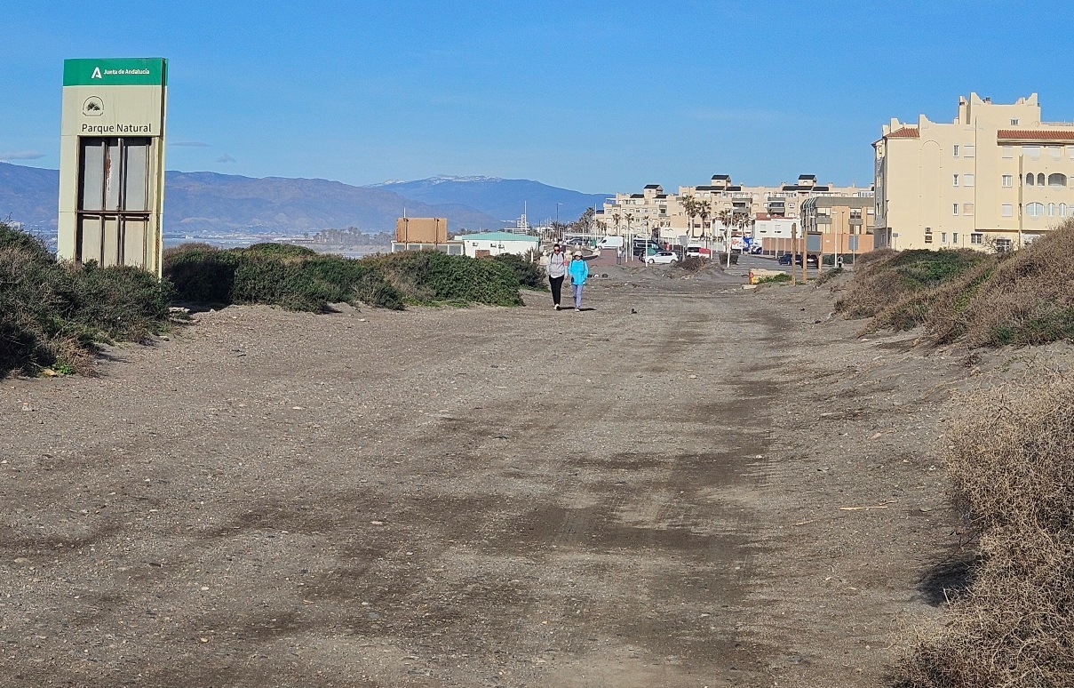
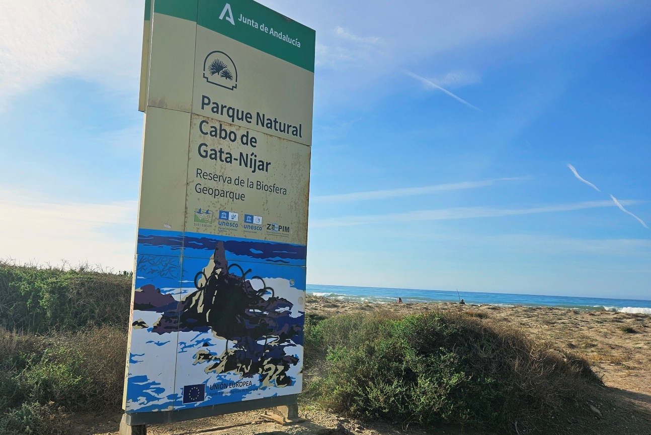
As the track approaches Retamar we pass a large sign stating that the Cabo de Gata natural park starts at that point. For us, it signifies that we are leaving the protected area behind.
A promenade leads into Retamar. There are a few cafes and restaurants; and there’s a small supermarket around 100 metres up the main the street, heading away from the sea.
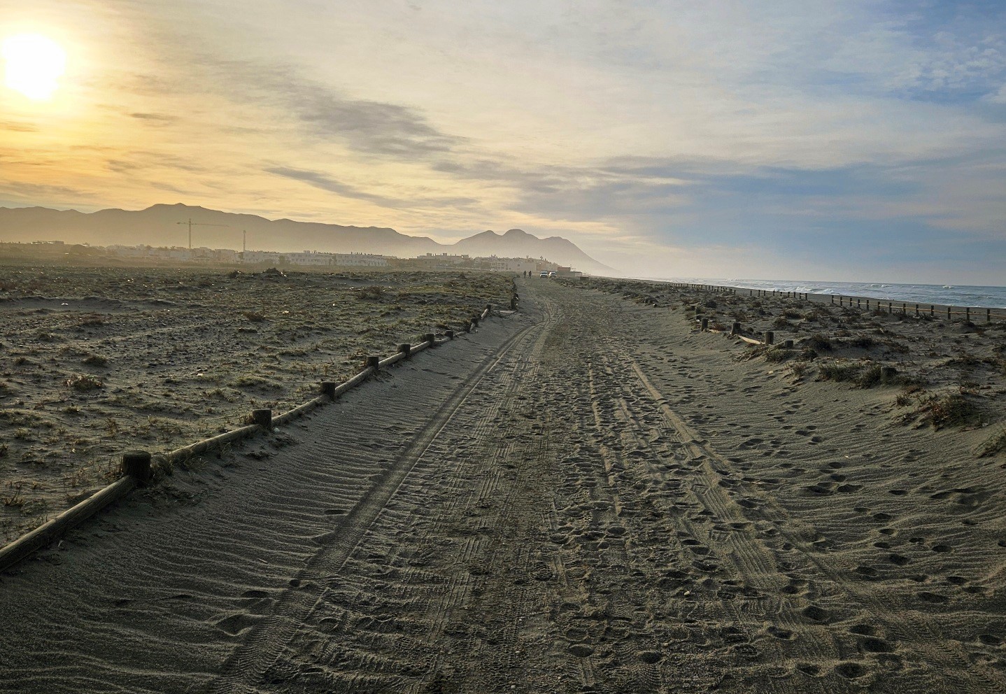
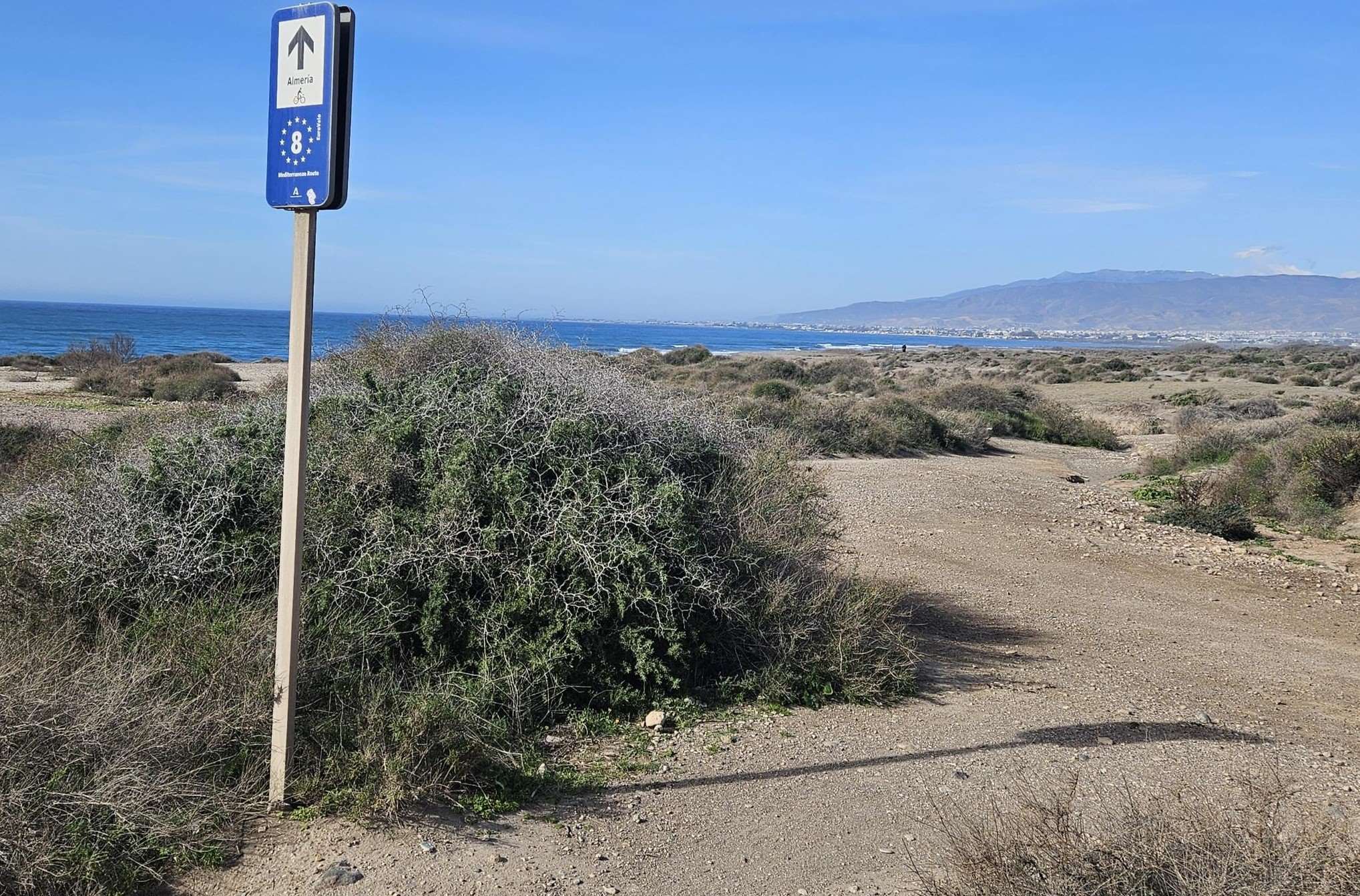
The route exits Retamar along the promenade, which turns into a coastal track. This is signposted as a European cycle route to Almería.
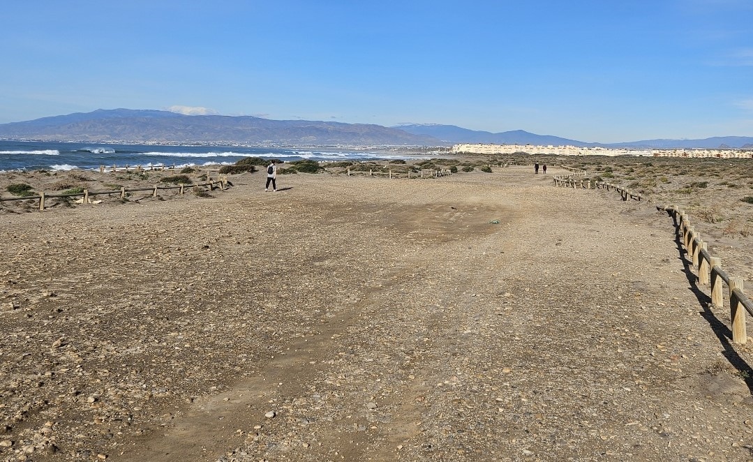
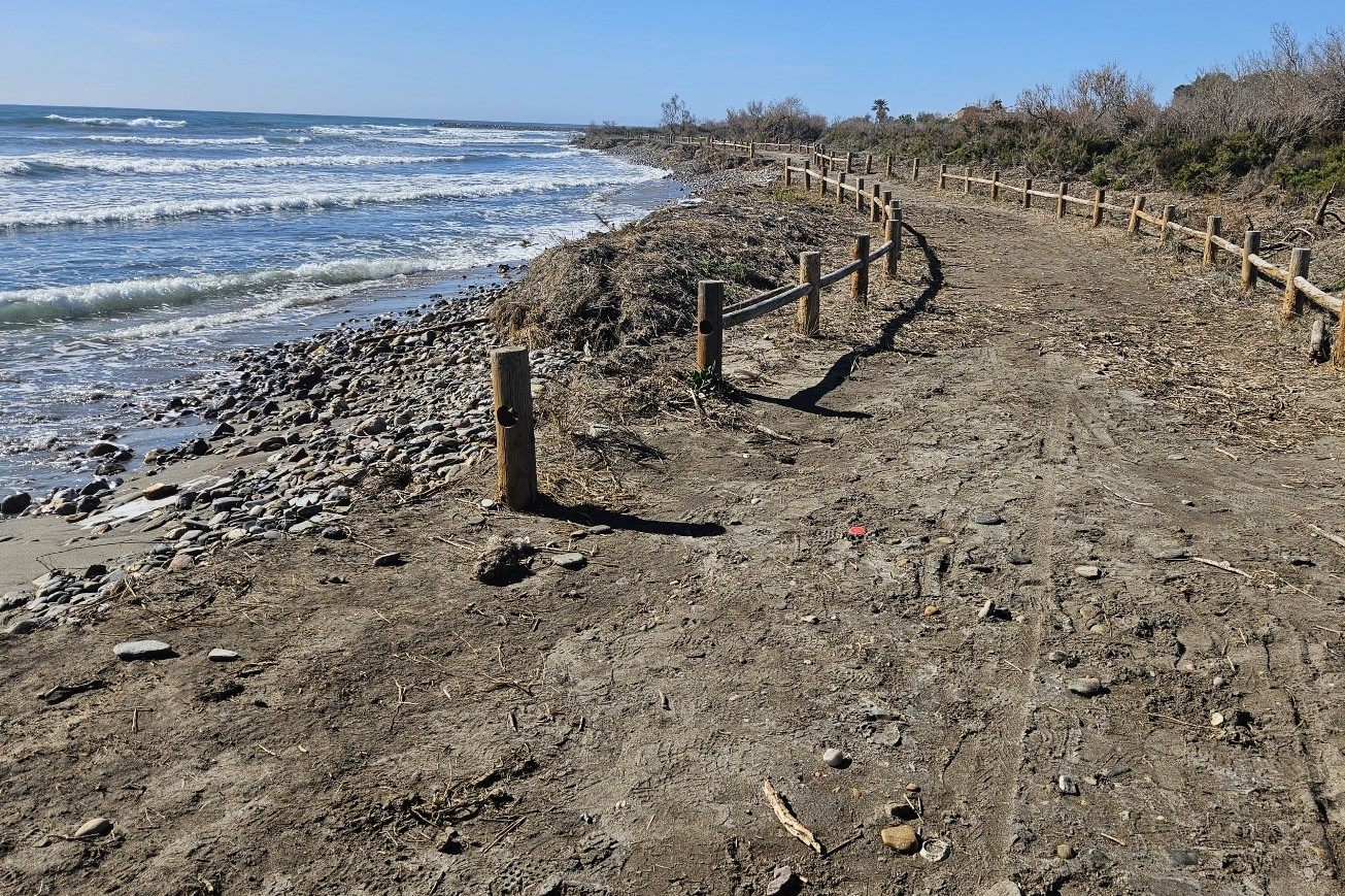
The track alternates between being good and hard to walk on; and soft and sandy (impossible for cycling).
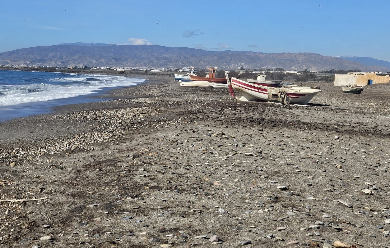
On the approach to Almería airport, which is away on the right, you might decide to walk along the beach, passing the fishing boats.
Our route keeps to the left of El Alquián restaurant, heading for the watchtower in the distance.
We pass on the left of the watchtower, following the coastal track. Sadly, the route is littered with rubbish in this area; plastic bottles and all sorts of detritus. It is a stain on the reputation of Almería city hall.
After passing the small airport, watchtower and scruffy section, the route emerges at a coastal suburb of Almería called Costacabana.
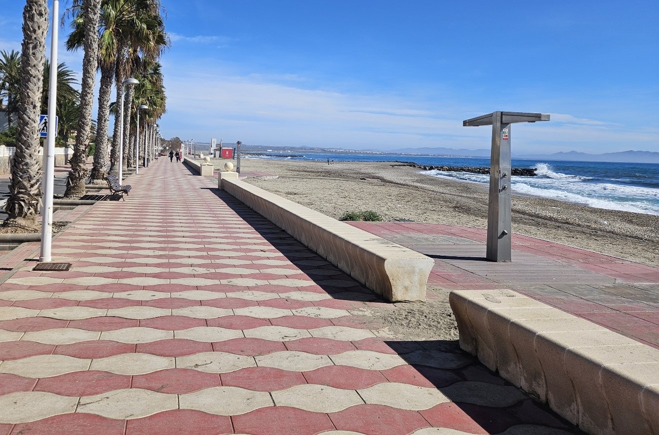
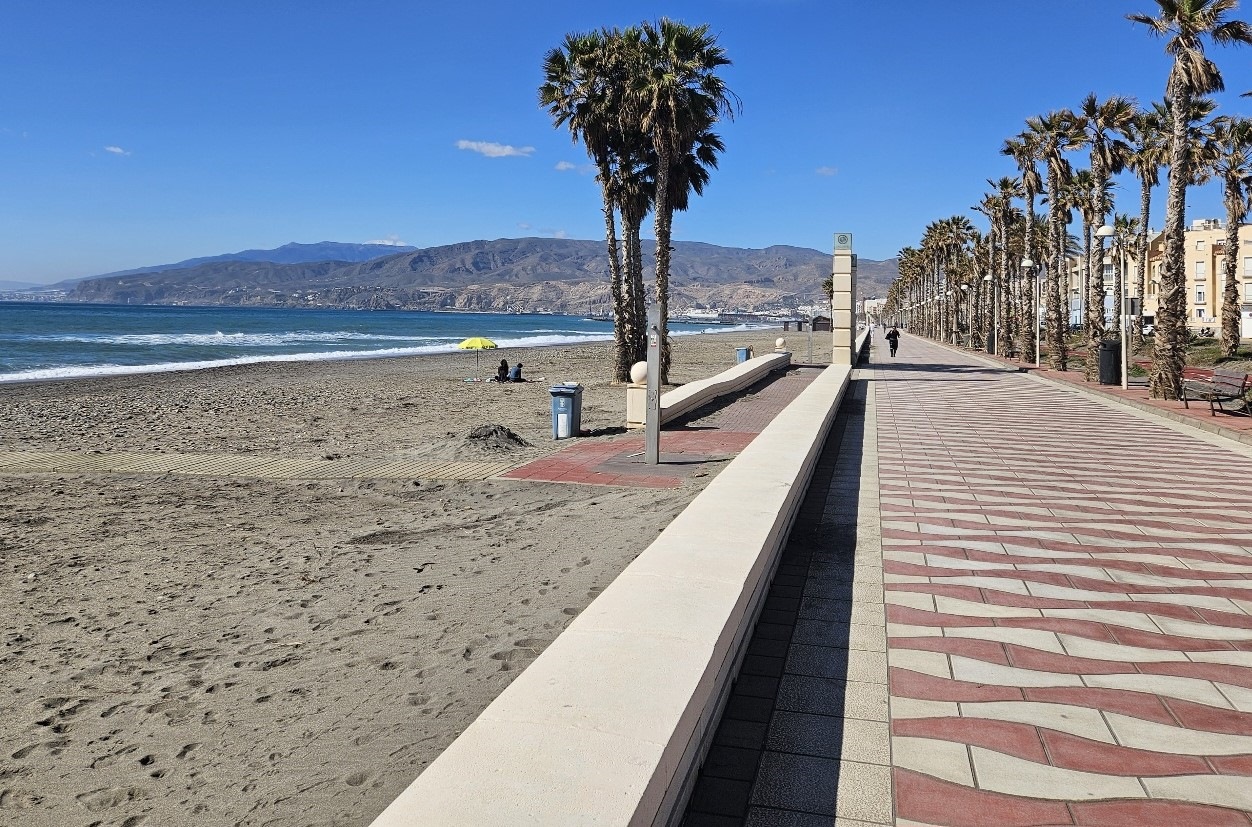
There is a long promenade to walk along, next to the beach.
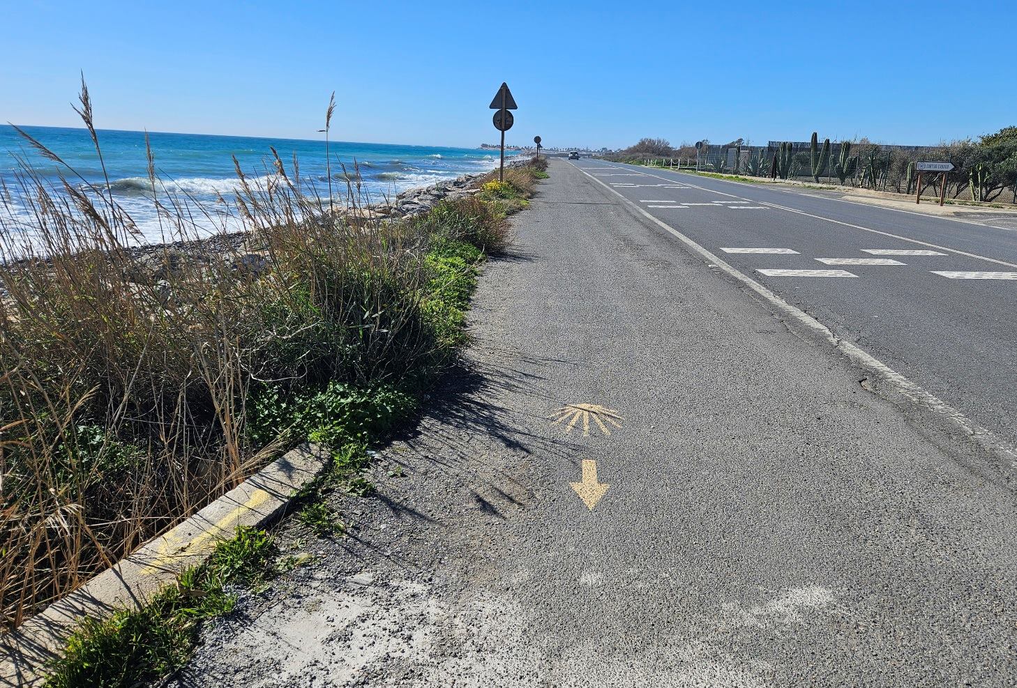
The promenade runs out of steam at a restaurant; from here we have a short spell along the side of the coast road, the AL-3202. Fortunately, there is a wide hardshoulder area to walk on. You will see arrows for the pilgrim route on this stretch.
After around 1km the situation improves at the entrance to Almería University, where a crash barrier separates pedestrians from vehicles.
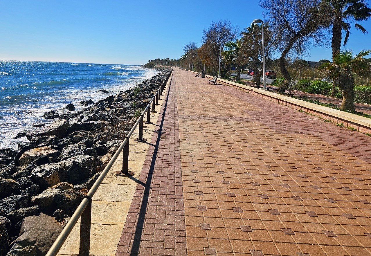
Around 200 metres further on, a promenade appears which runs almost as far as the city centre.
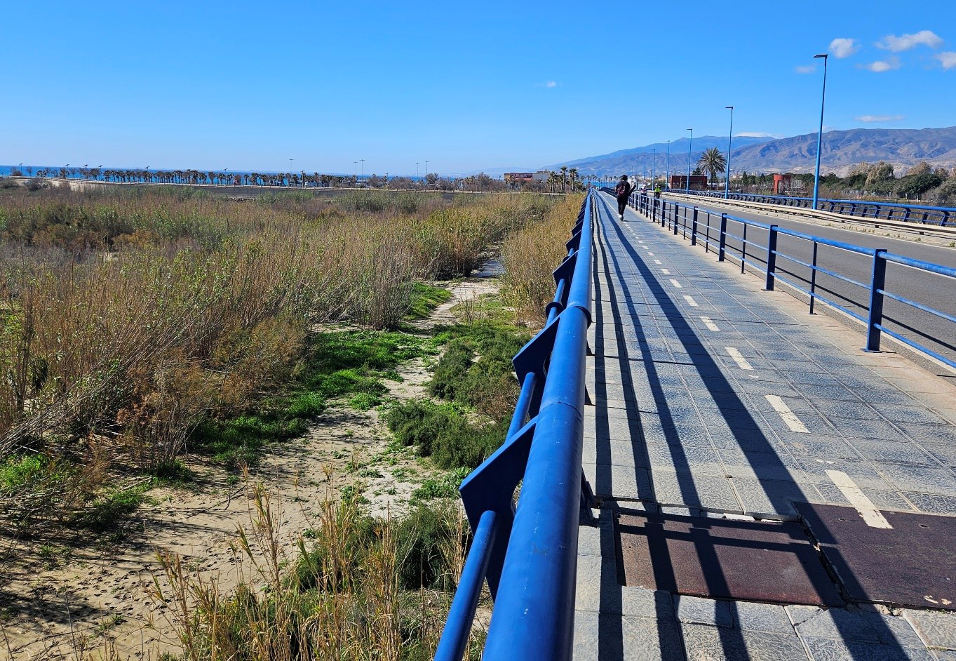
It goes to a campervan parking zone. Then there is a short section next to the road again, crossing over the River Andarax on the road bridge, where there’s a pavement/cycle path.
We go down past the Repsol service station to reach the city’s long promenade.
It’s more than 3km on the prom to reach the point where we cross the main road to Parque Nicolás Salmerón.
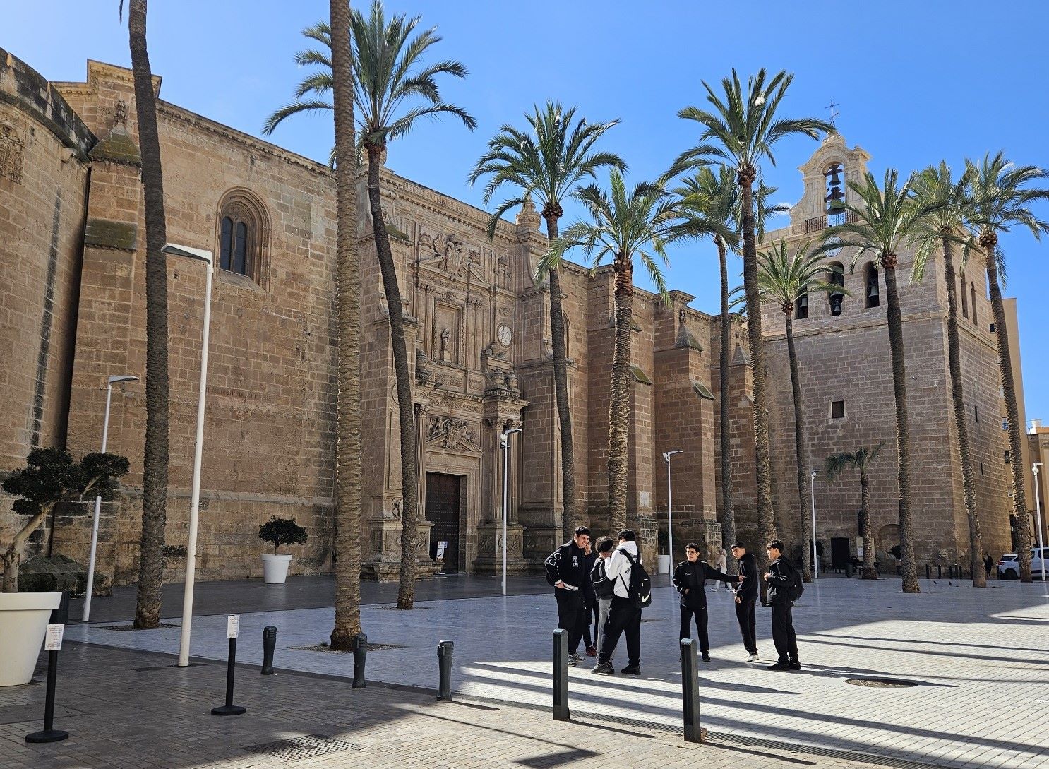
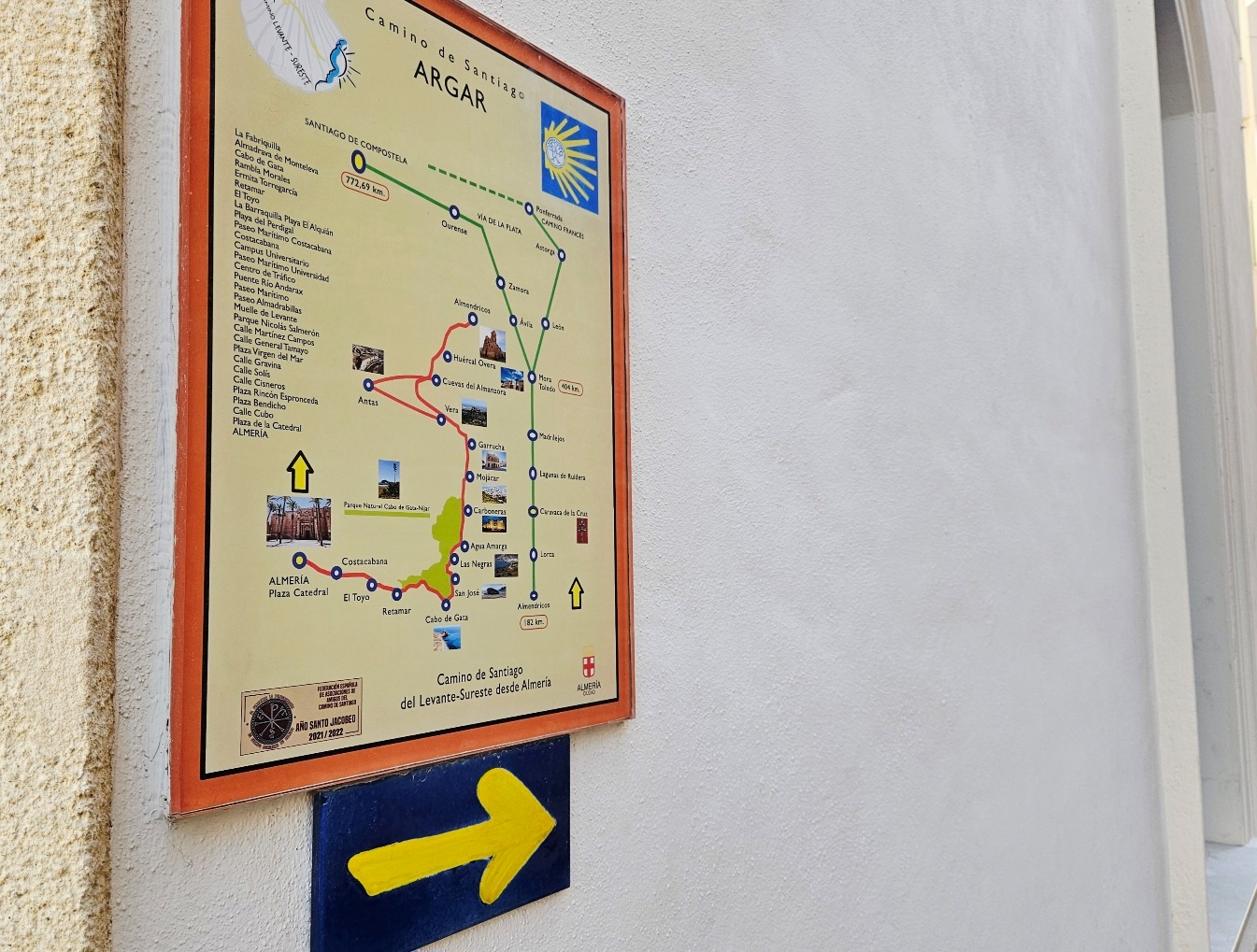
Almería cathedral, which is the starting point for the pilgrim route, is around 250 metres from the park.
There are dozens of accommodation options in Almería and you can have a good browse of them via booking.com
You probably won’t want to be sited too far away from the cathedral, as you may want to have an explore of the city without your rucksack later in the day.
The city is famous for its tapas. Drinks in bars are expensive for Spain but they do usual come with a ‘free’ tapa, which you often get to choose.
Orientation isn’t particularly easy but, with the help of Google Maps, you will manage.
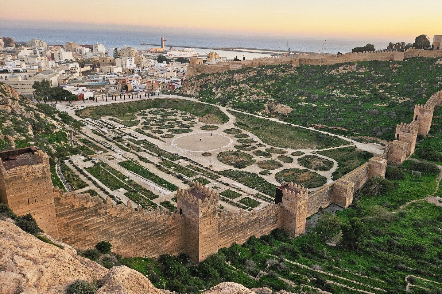
The Alcazaba fortress is definitely worth a visit; if you are short of time then the San Cristóbal hill opposite provides a great view over the ancient defences of this former Moorish stronghold.
Practicalities
Deciding what time of year to do the walk is crucial. There is almost no shade on the route so it would be foolhardy to set out in July, August or September due to the extreme heat.
I walked in February; the conditions were very good, apart from very high winds on a couple of days, which didn’t spoil the experience.
The Cabo de Gata is one of the driest areas of Europe so rain is unlikely to be a major factor, although I have experienced heavy downpours while visiting.
It’s luck of the draw with weather, but it is an area which can be enjoyed when mountain ranges such as the Pyrenees are experiencing snow and ice.
In my opinion the window between November and March/April is a good one for the Cabo de Gata. It’s quiet and, in general, not too hot.
Hotel prices are at their most accommodating outside of Christmas/Easter holidays, although some places will be shut for the low season.
My usual advice is to book as late as possible in order to have a good look at the weather forecast. However, this isn’t always possible.
Bus company ALSA runs a regular service from Almería to Murcia city; more info at www.alsa.es
They also operate a bus, which they say goes every two hours, from Almería to La Almadraba de Monteleva, which has stops at Retamar and Cabo de Gata on the way.
Editorial Alpina has a 1:50,000 scale map of the natutal park area called Cabo de Gata Níjar parque natural.
Recent Comments