
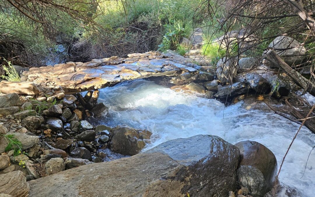
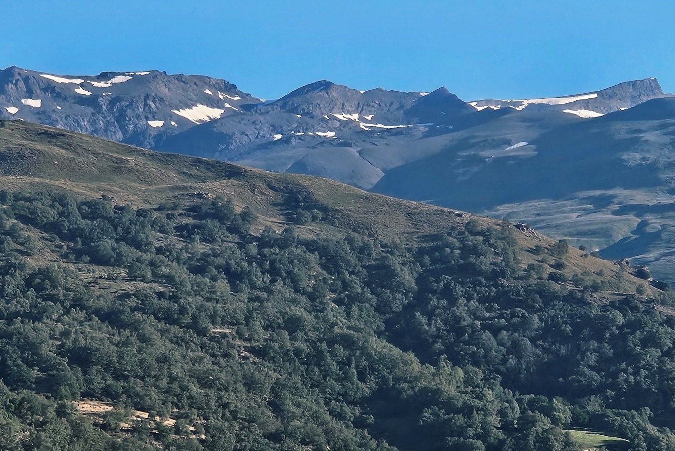
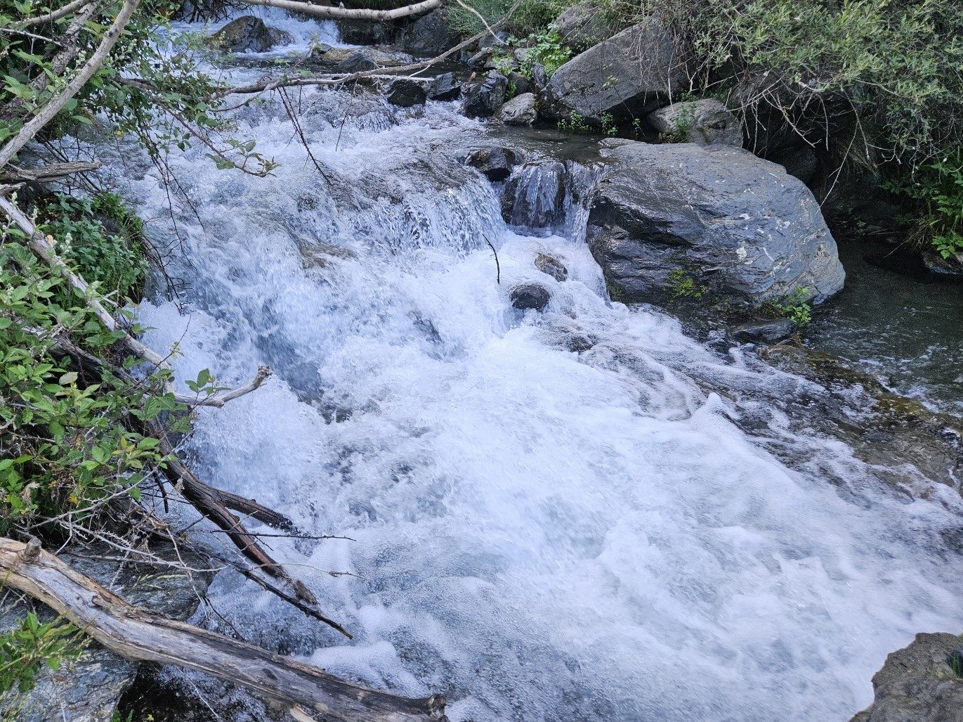
One of the best routes from Capileira heads out of the back of the village on the PR-A 23 footpath to ascend the Poqueira ravine. The most enjoyable features are the crossings over the stream that comes down from the summits filled with snowmelt; and the views of the giant mountains with their snow-capped peaks.
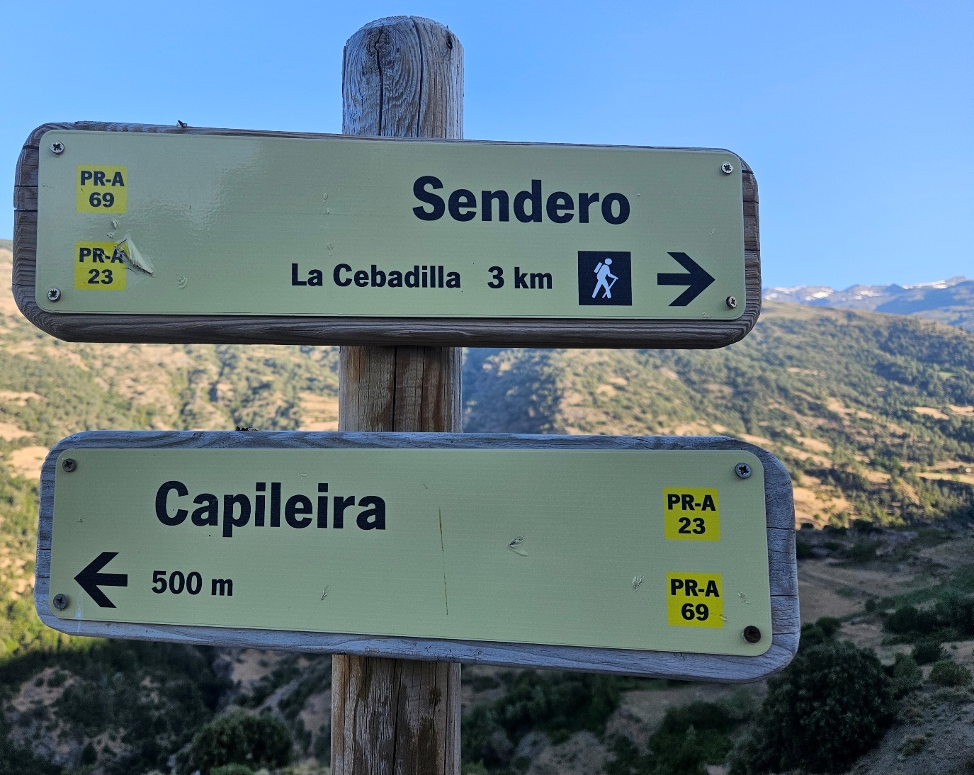
The first part of the walk is a popular one, running to the abandoned village of La Cebadilla and the old hydroelectric power station; this is 3.2km one way. It’s 9km to the Poqueira refuge at 2,500m. The chances are that you won’t reach it in high summer.
As already stated, the refuge has been undergoing refurbishment which has taken three years to complete, meaning that walkers have not been using the path to go up to the lodging.
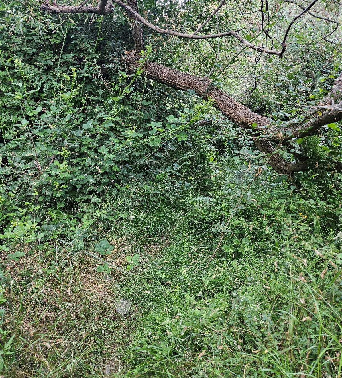
As a result the route has become very overgrown. This may be about to change with the reopening. Storms and flashflooding in the spring of 2026 have also caused some erosion.
The walk
The hike starts from the information board on the edge of Capileira, which can be reached by following Calle Castillo or Calle Rafael Gómez Montero out of the back of the village.
The board shows a map of the PR-A 23. It notes that the footpath follows a section of the Poqueira irrigation channel network that was constructed by the Moors to supply villages, farms and water meadows.
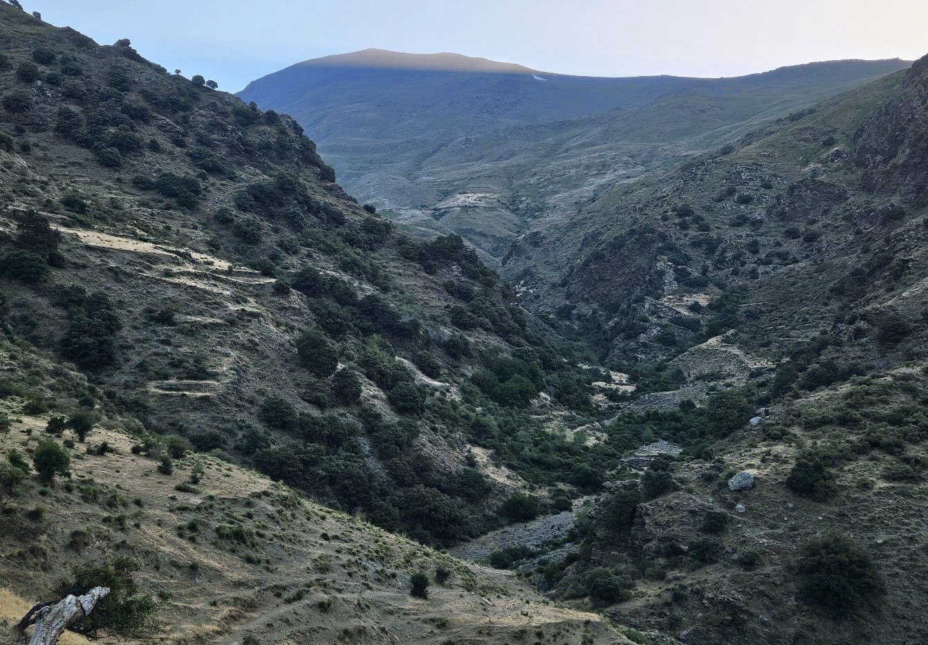
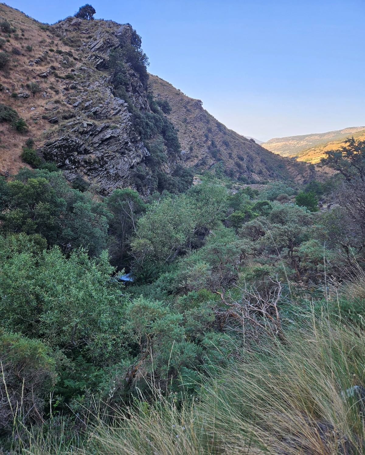
The path runs high above the Poqueira river, along the side of the ravine. It climbs steadily, emerging at a spot where a fantastic view of the 3,000-metre summits opens up.
The route reaches a wide track and starts to descend to La Cebadilla. En route, an information board explains that the village was constructed in the 1950s for the families of people who worked at the hydroelectric station.
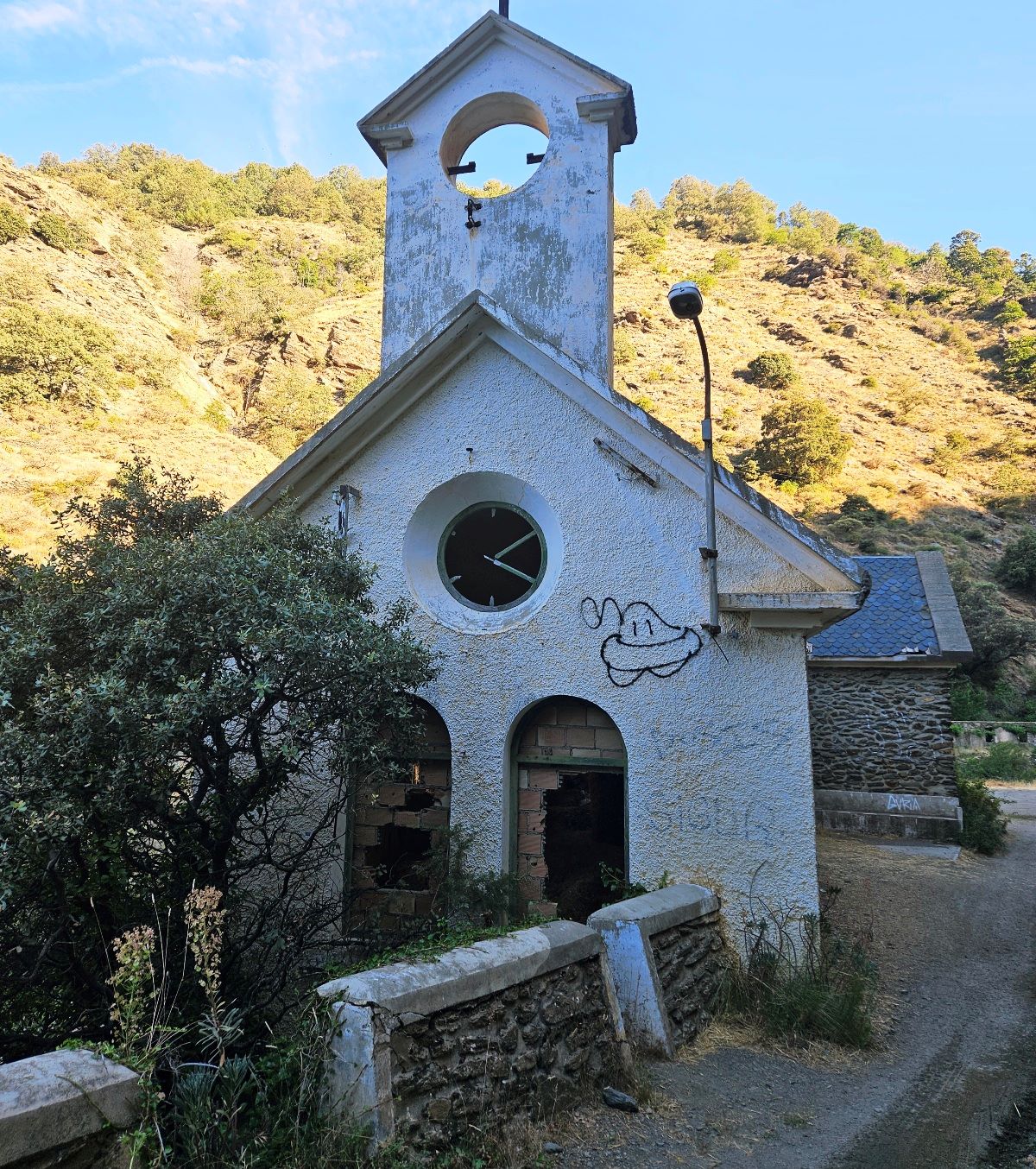
Around 200 residents lived here; they had a small school and church. Families left the village when fewer workers were required at the plant.
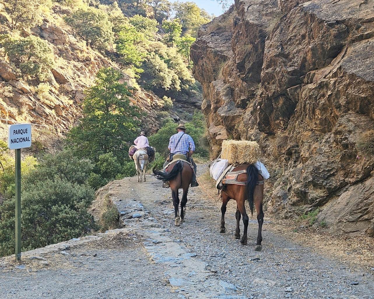
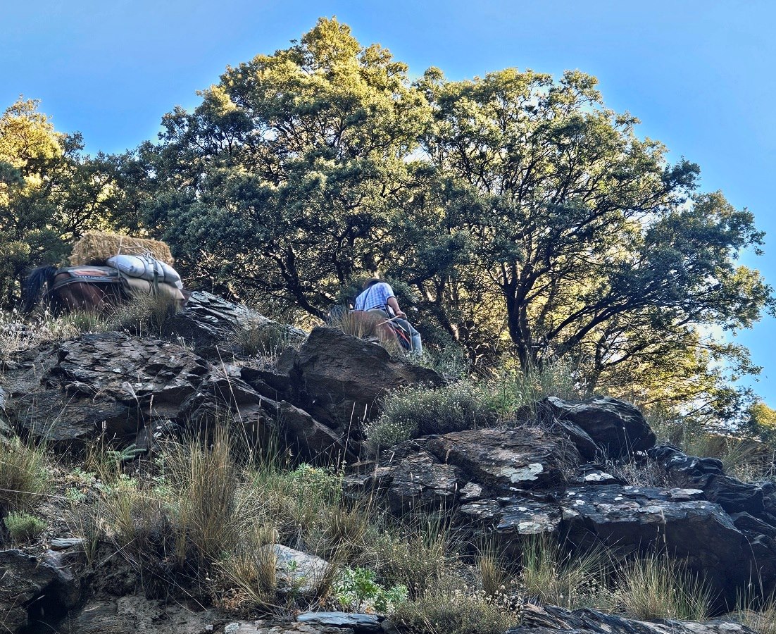
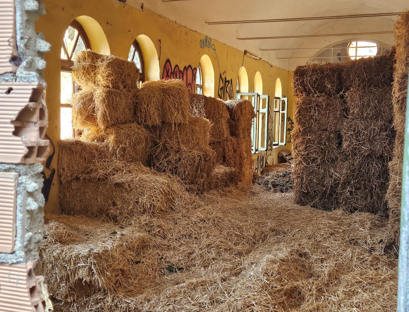
The track passes to the right of the church, which is now used to store hay that is carried up to mountain farms on horseback. Walkers may get to see the incredible skill of the riders as they manoeuvre their animals up the switchback paths.
The hydroelectric station stands at the confluence of the Naute and Toril rivers which come down from the summits; they join to form the Poqueira river. The plant is a bit of an eyesore but it’s situated in a dramatic spot, where two ravines meet, carrying snowmelt.
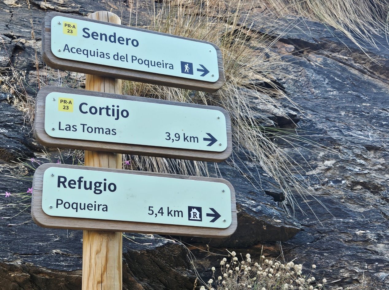
At the confluence of the rivers, our route follows the signs pointing for the Poqueira refuge. It’s a steep climb at first, with the path ascending to a farm, where the land flattens out.
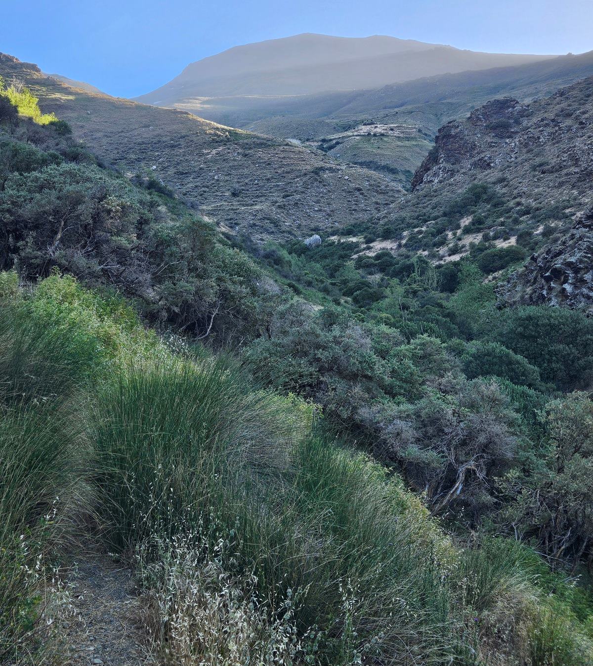
There is a great view up the Poqueira ravine to mighty Mulhacén; it’s worth pausing to contemplate the highest mountain in mainland Spain.
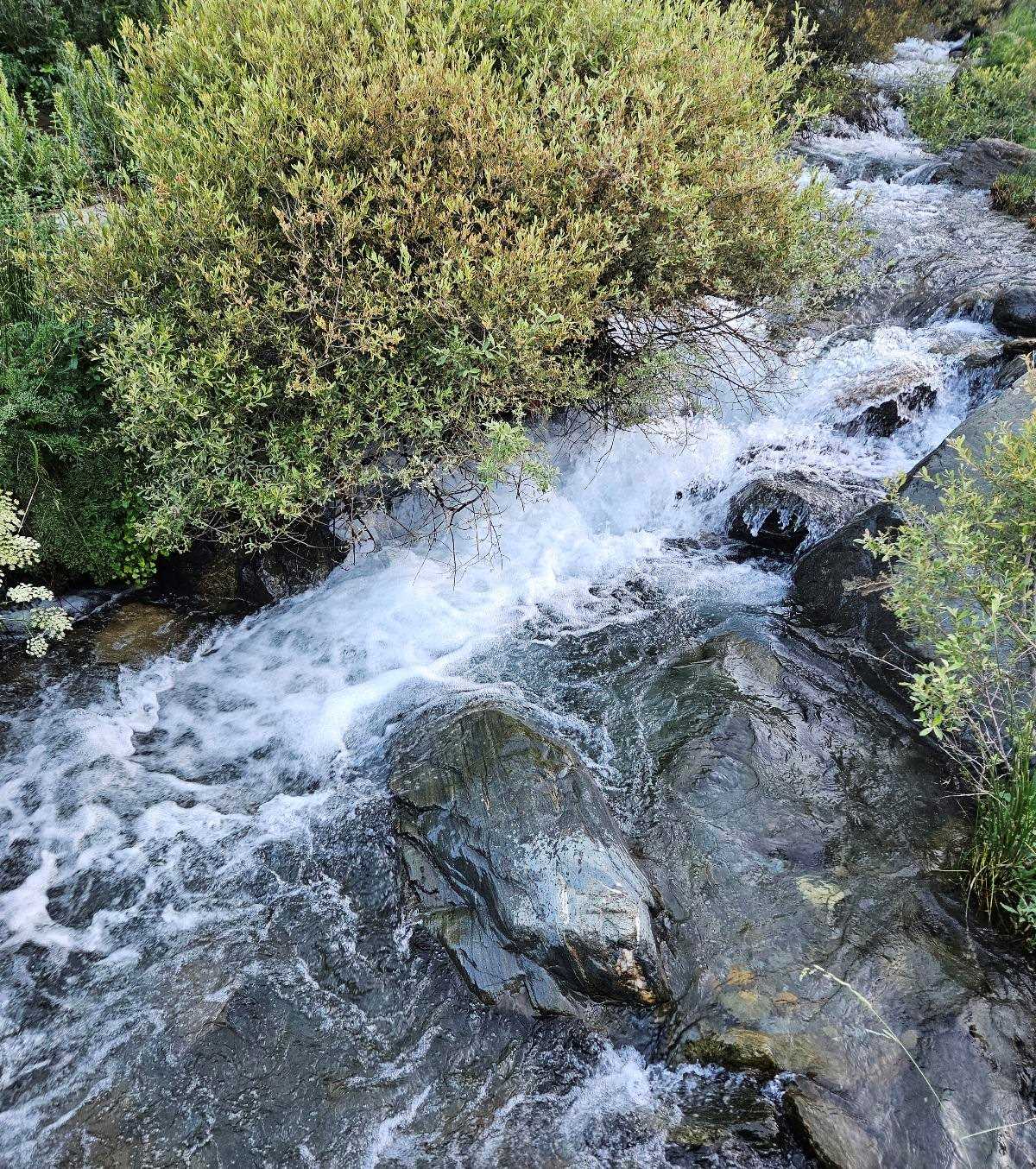
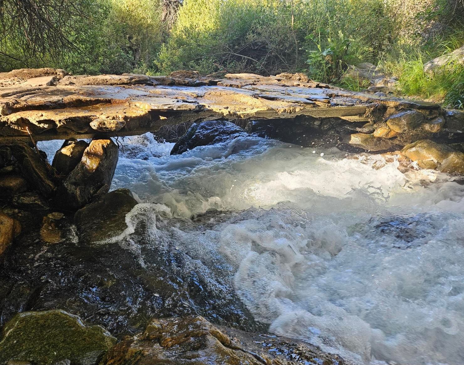
The path descends, then crosses the River Naute, which is a mountain stream at this point.
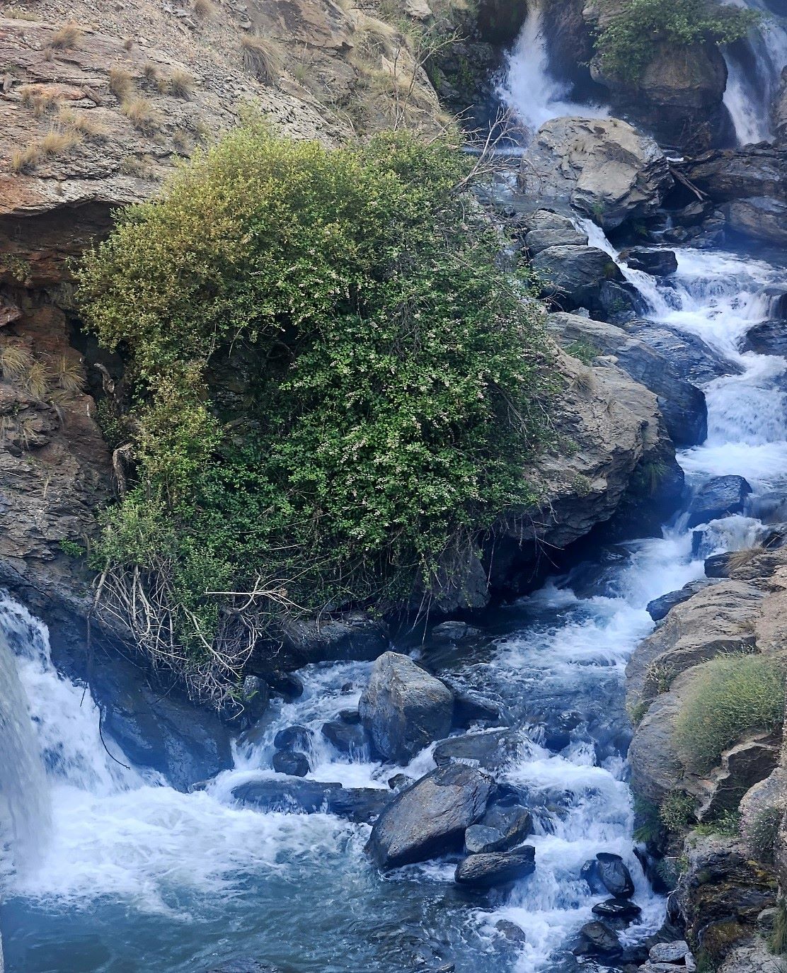
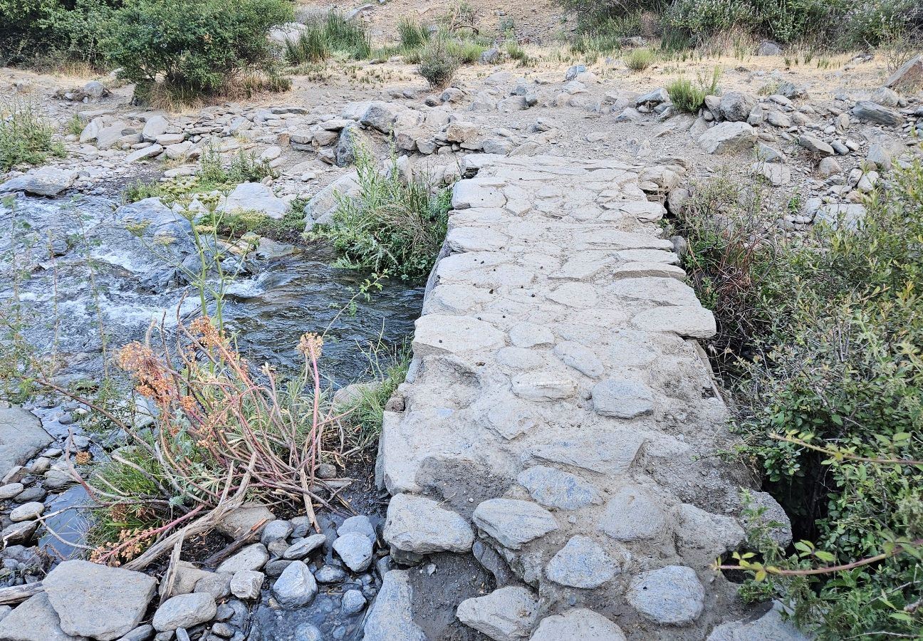
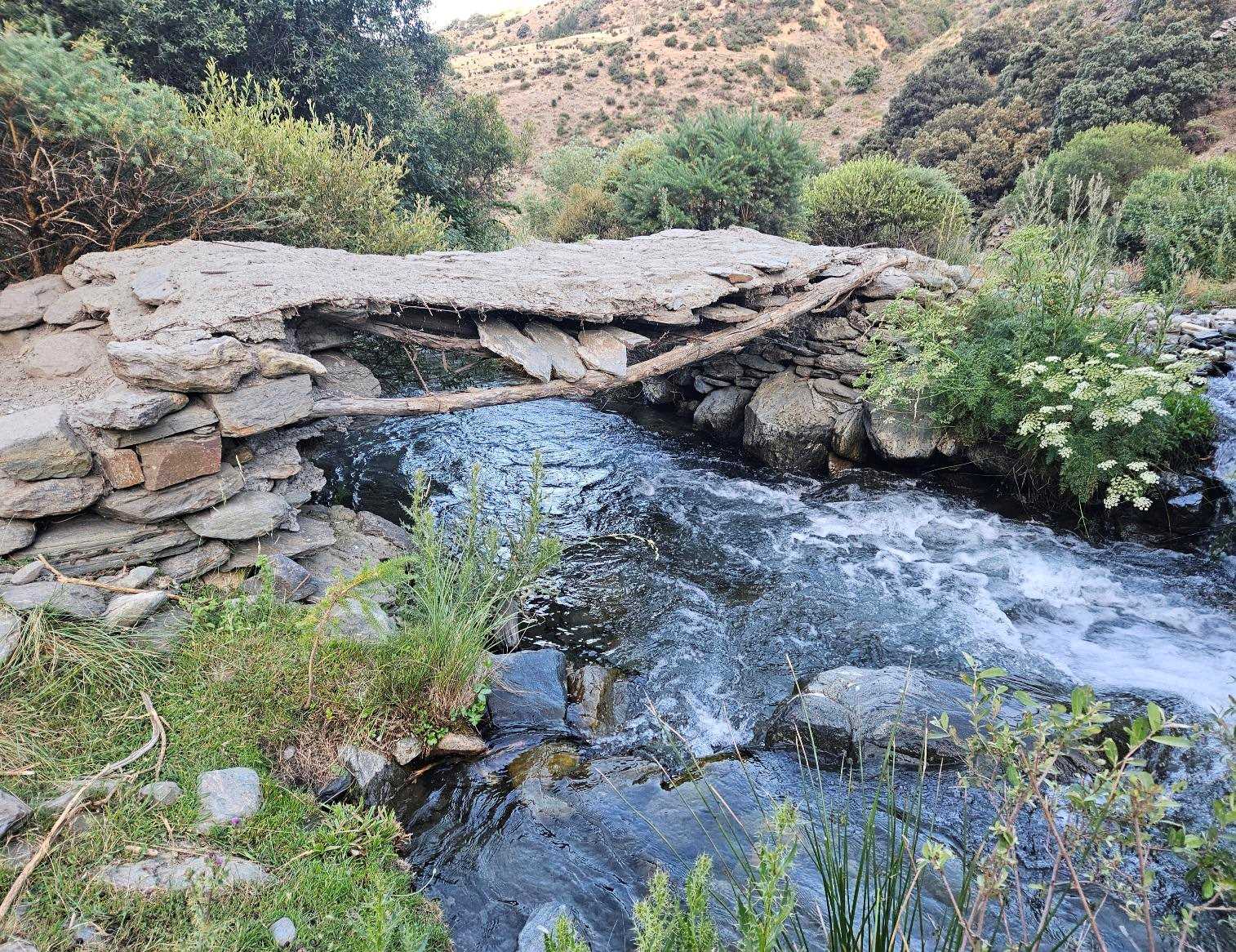
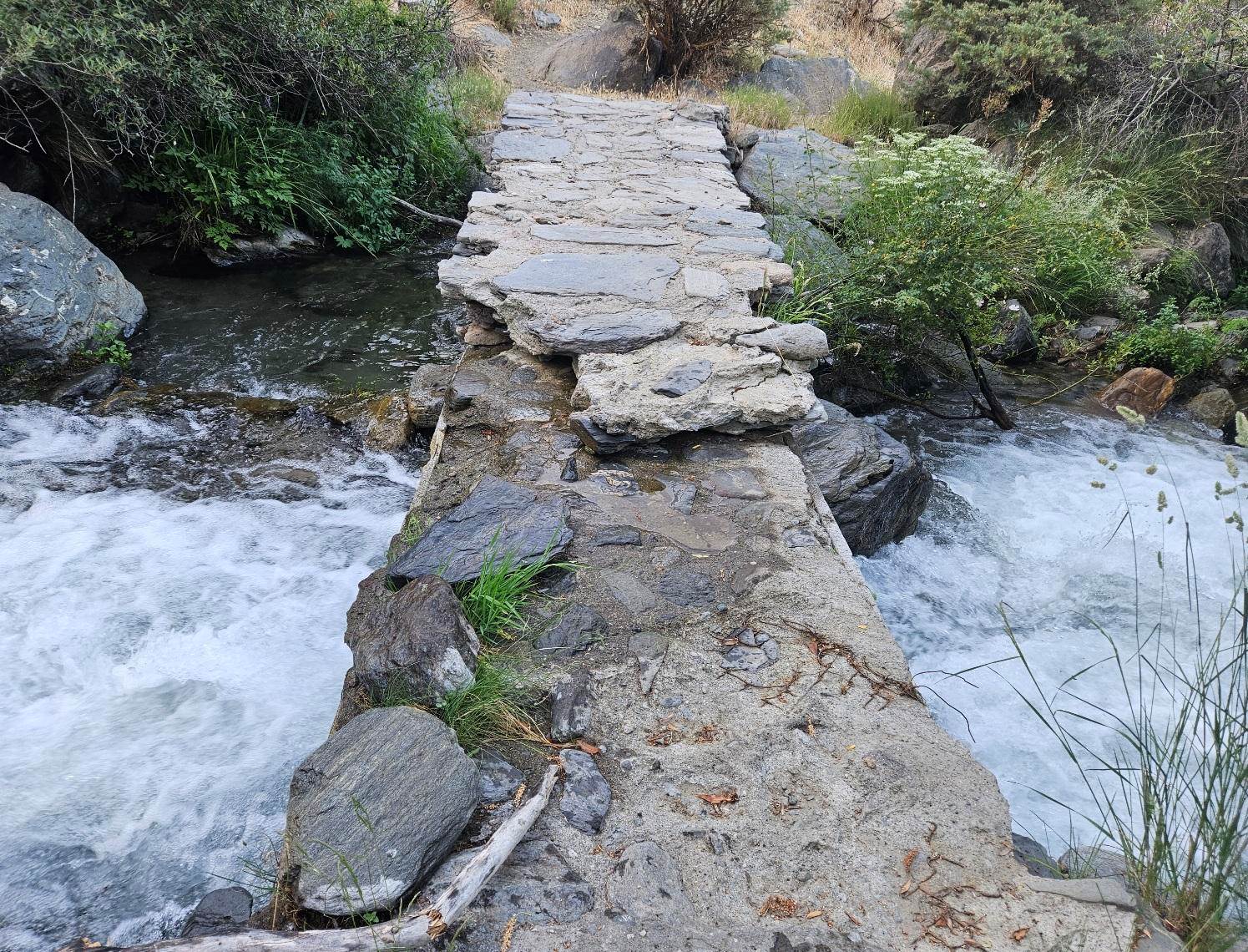
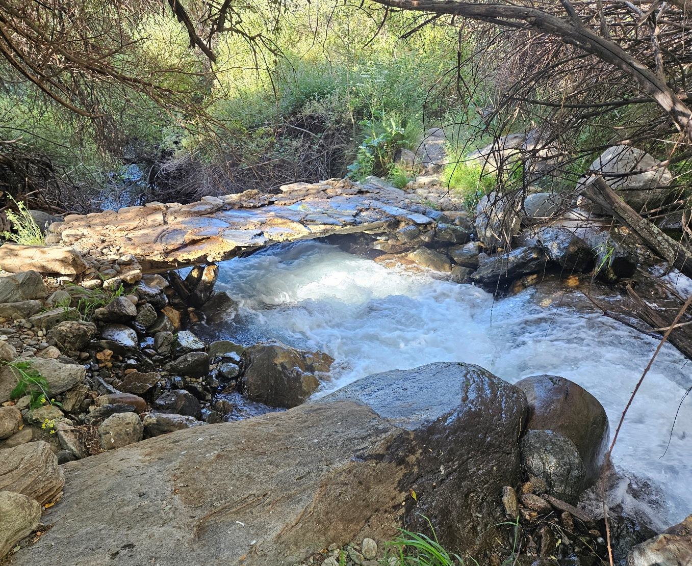
The magical part of the walk starts here. The route follows the Naute. Stone bridges take the path from one side of the river to the other as it follows the right bank, then the left bank.
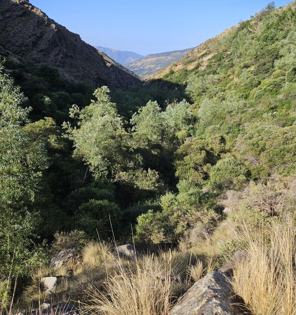
The land around the river is incredibly fertile; almost jungle-like in places. Ferns, dense undergrowth, leafy trees, tall grasses.
There is a stark contrast between the arid slopes above and the deep green in the channel of the waterway.
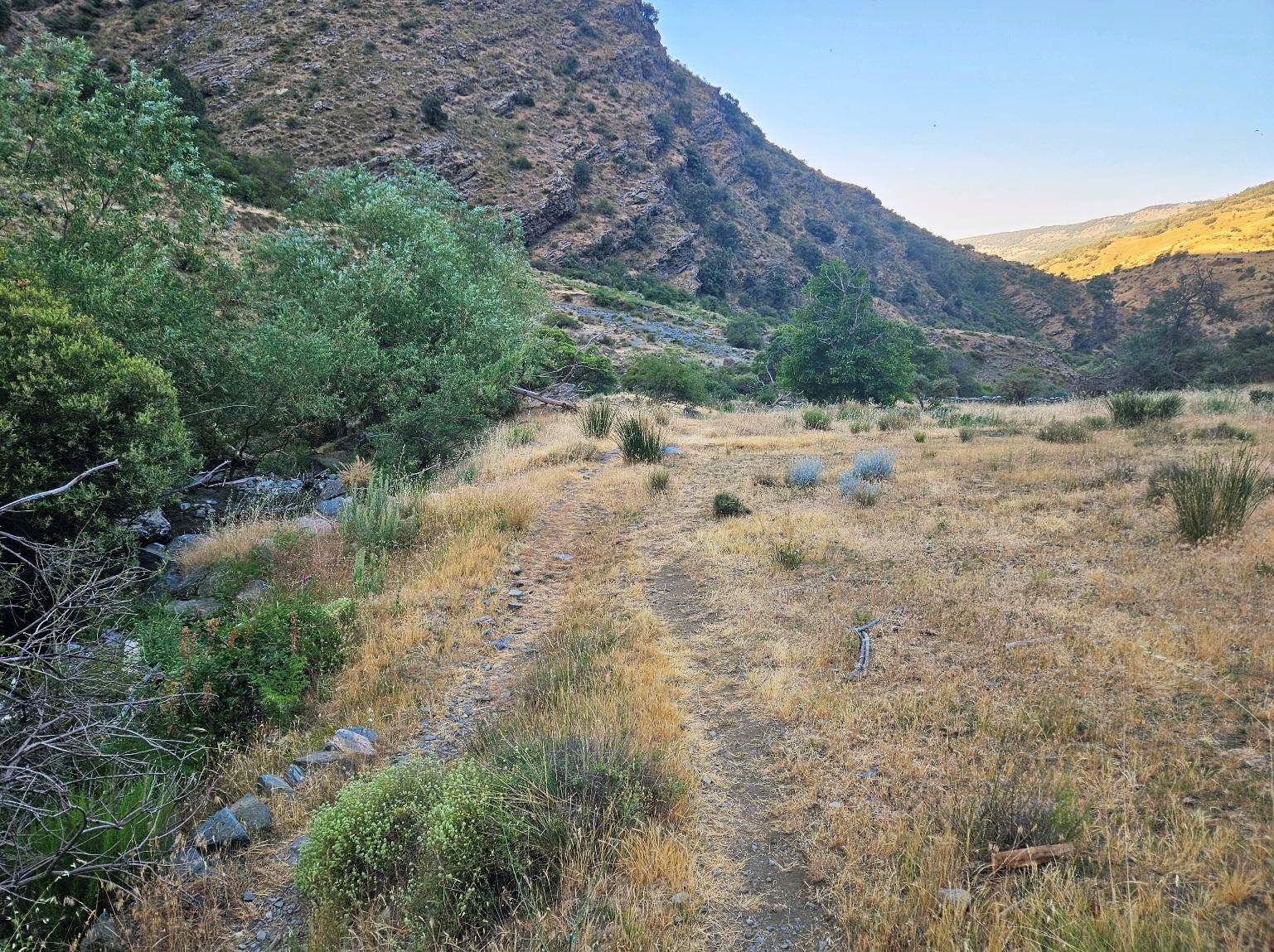
It is very beautiful but very overgrown. When I followed the path at the start of July, 2026 I found a large stick to batter my way through some of the sections that had not been traversed for some time.
Logically, the opening of the Poqueira refuge will mean that hikers will start to walk this route again and it will become much easier to use.
In high summer you will have to decide how far to go on the path before turning back.
The route will be mostly in the shade during the early morning, with the high-sided ravine offering protection from the sun.
I ascended to a point where the path emerged from the ravine into the hot sun and decided to call it a day; retracing my steps by the side of the nascent river which was still lively with snowmelt in July.
My walk measured around 12km, with around 500 metres of ascent.
Recent Comments