
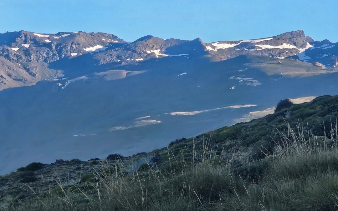
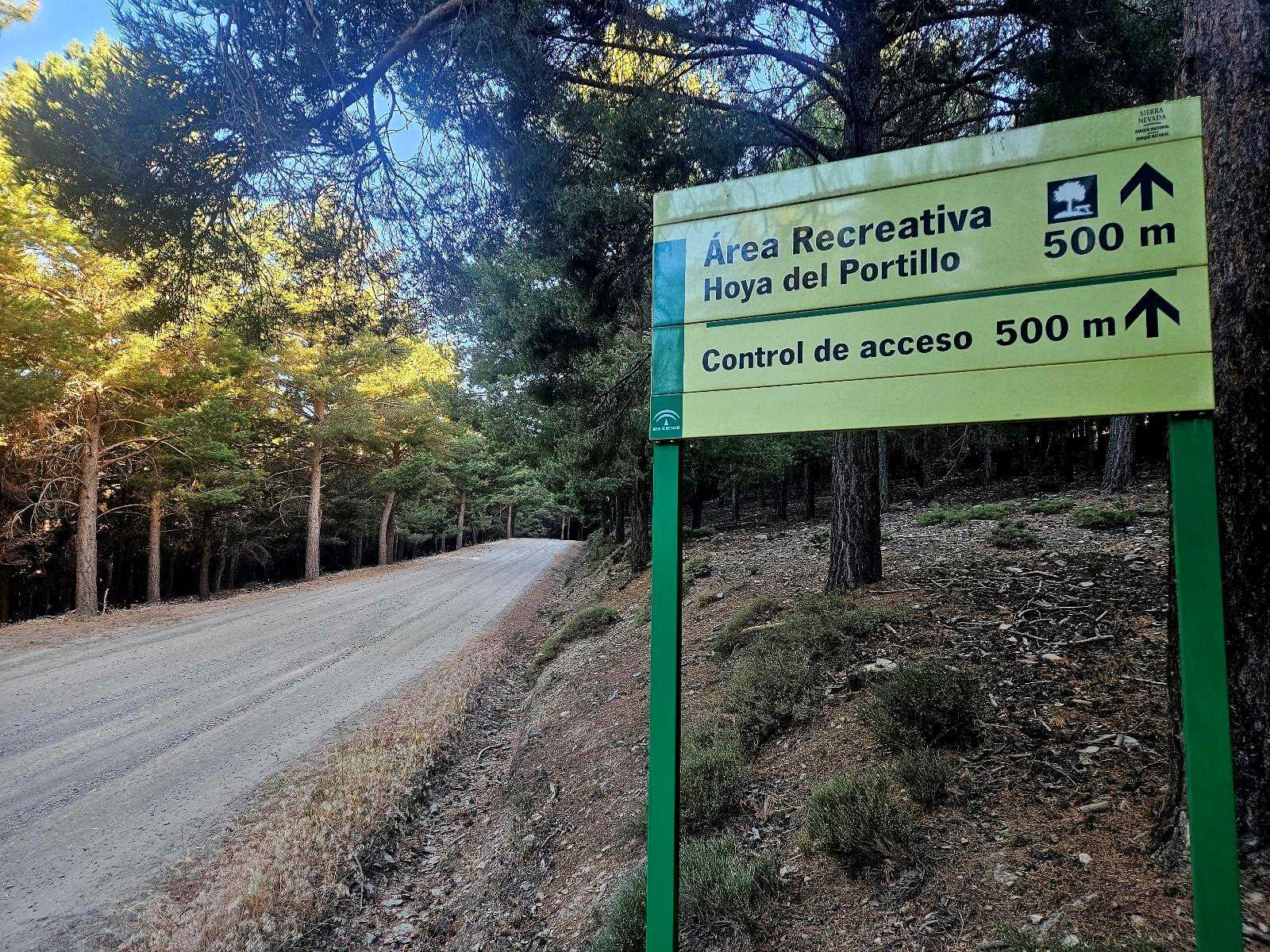
The Hoya del Portillo is a recreation and picnic area, which is also used as a parking spot for walkers who are embarking on an ascent of Mulhacén, the highest mountain in mainland Spain at 3,482 metres,
Standing at 2,150m, La Hoya provides a very good launchpad for the hike; although the purists who start their climb at lower altitudes would probably claim that it’s not a real ascent after driving most of the way up the mountain.
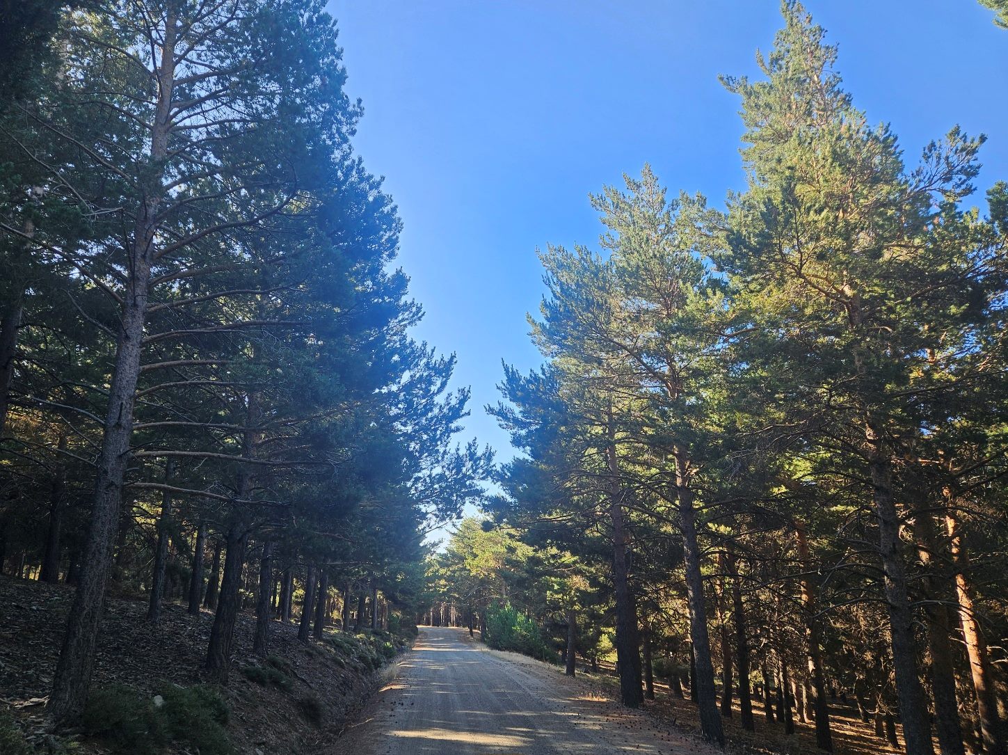
La Hoya is an attractive spot in its own right. It’s in high pine forest and spawns footpaths that run through the shady woods.
Some people may decide to drive up to this nature area from Capileira and undertake the ascent on the PR-A 26 through the trees to the vantage point that offers a fantastic view of the highest summits on the Iberian Peninsula.
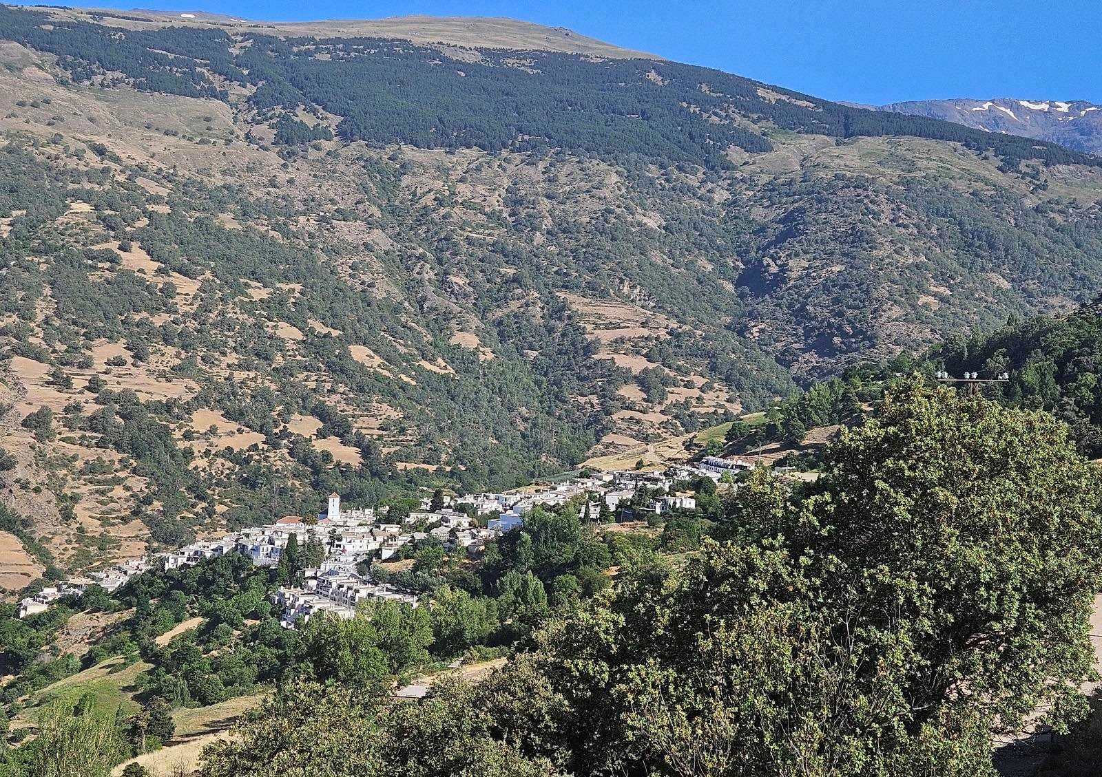
In summer, those who opt for an early start will be able to walk up from Capileira, which is a good workout for the legs, when hiking in other areas of Spain may not be possible.
The GR-240 footpath ascends to the Hoya del Portillo and it can be partly or wholly followed to this recreation zone.
It’s approximately 6km one way to walk to La Hoya from Capileira, with around 700m of ascent.
The route
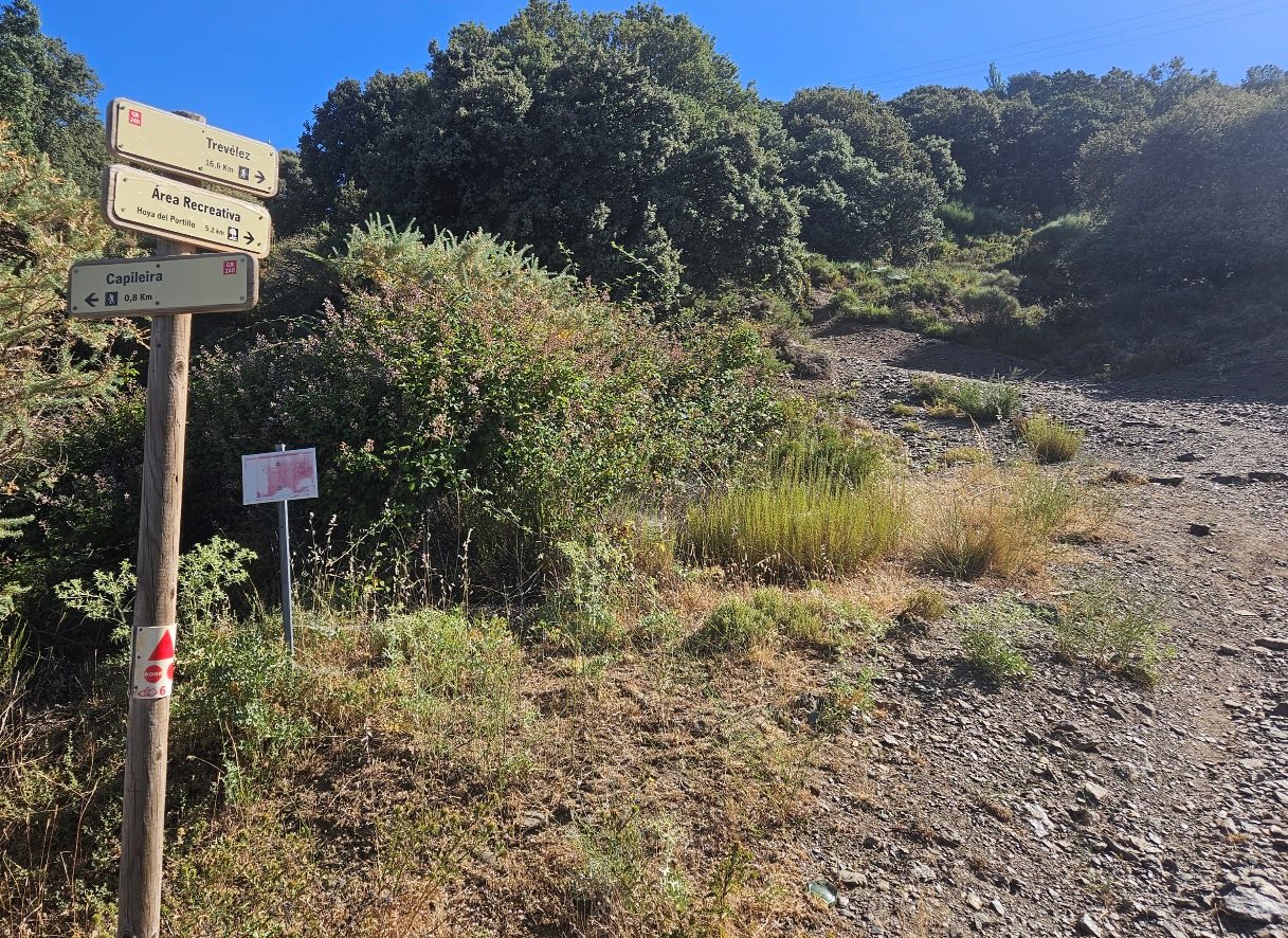
Take the ascending road out of Capileira, passing the walk information board which shows a map and details of the GR-240.
After walking 0.8km from the village a sign appears at the roadside pointing up the hillside; the distance to the Hoya del Portillo is 5.2km from here.
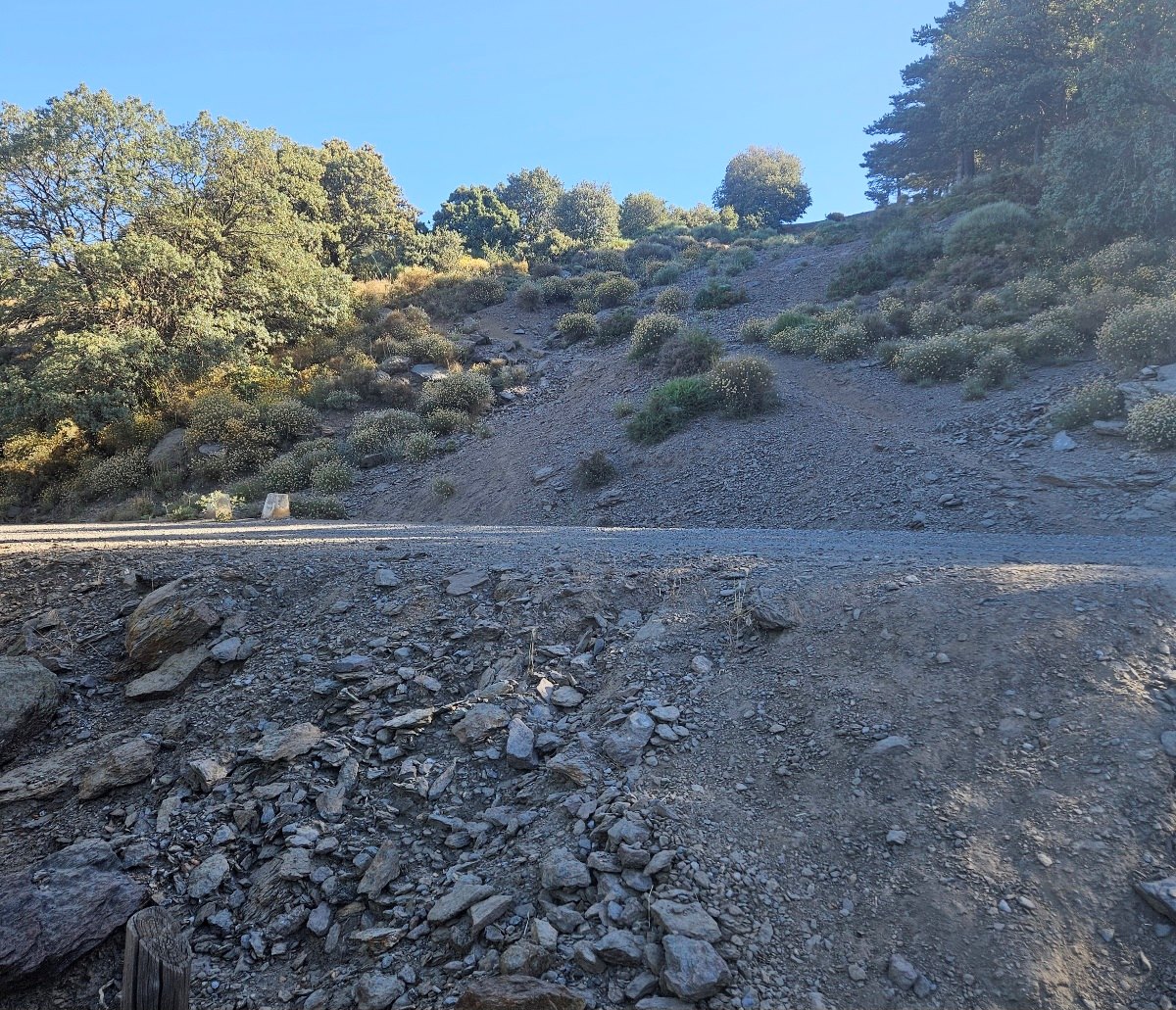
While the road undertakes a more gradual ascent, the GR-240 is more direct, heading straight up.
The footpath crosses the road at a couple of spots to continue its no-nonsense approach to the climb.
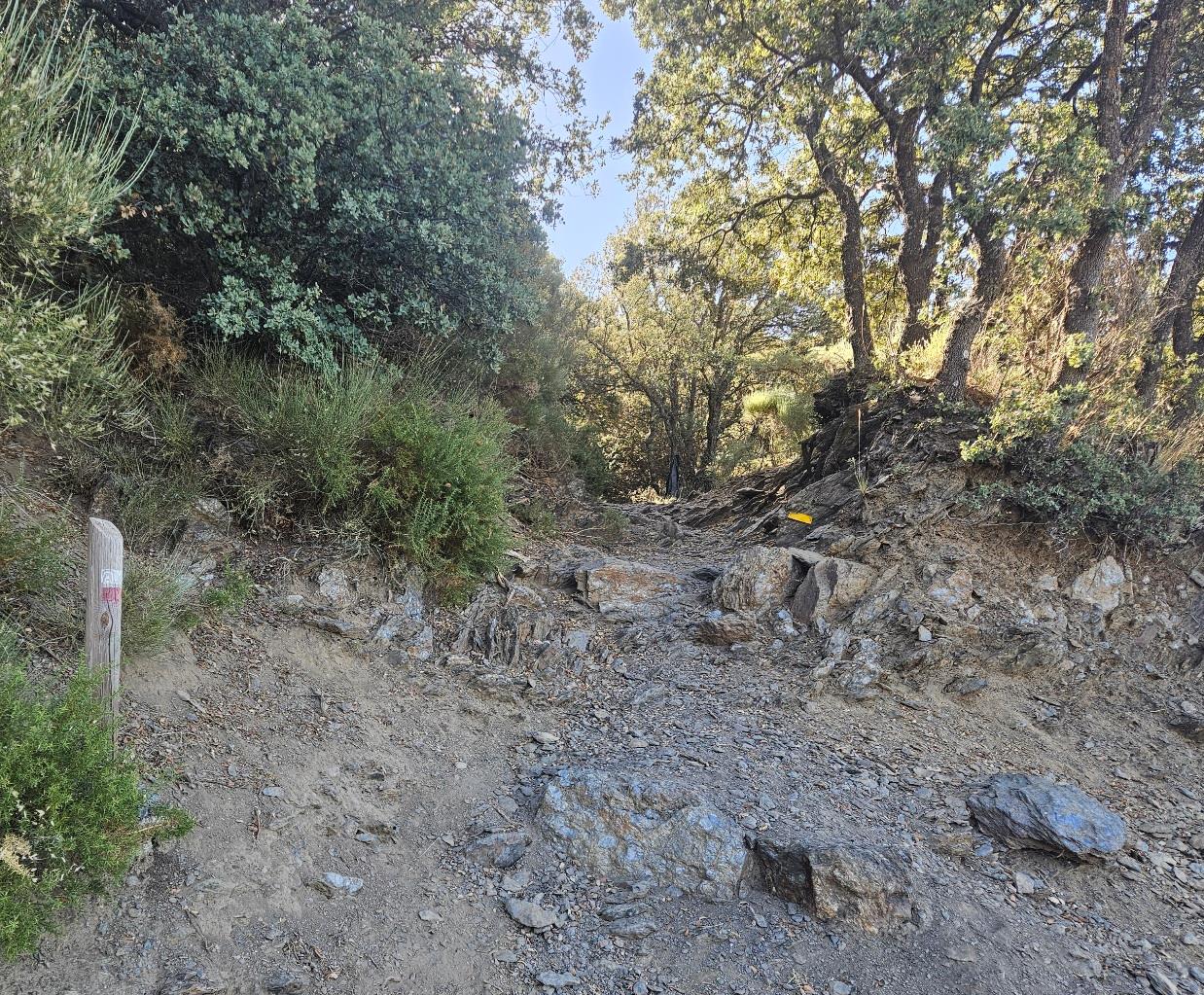
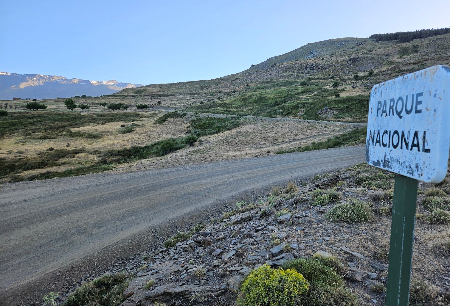
The GR emerges at a spot where the road has turned into a wide track.
Here the walker has options. Follow the track for the rest of the ascent, sussing out shortcuts that offer much more direct ascents of the hillside; or locate the GR-240 for its climb to La Hoya.
On my ascent, I took the first option, thinking it may save a bit of time.
All the routes emerge at the recreation area.
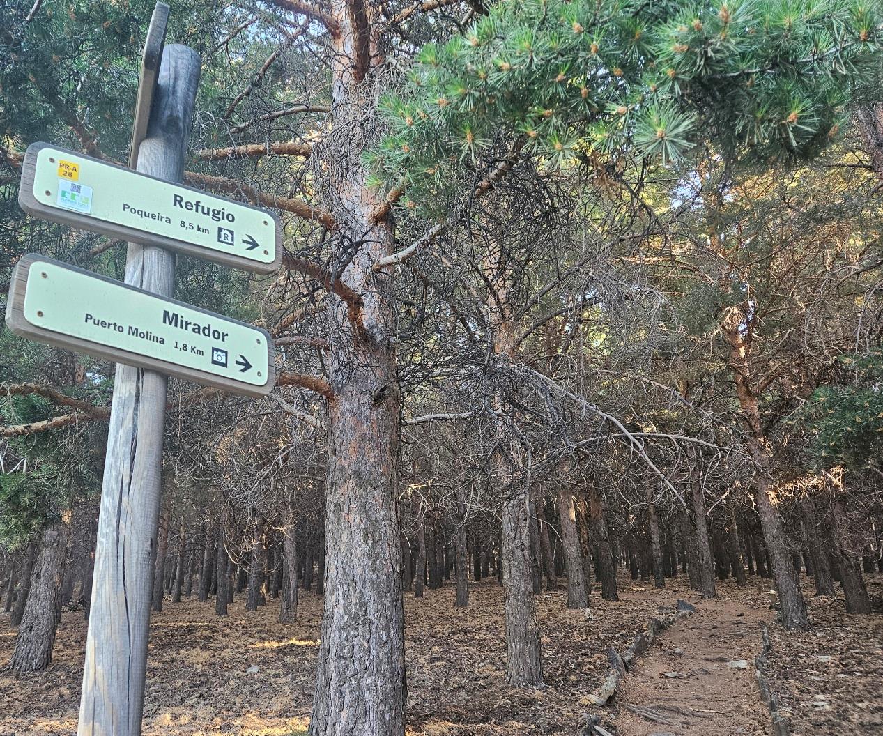
At the Hoya del Portillo see the sign on the left which points for the ‘refugio’ of Poqueira, which is a further 8.5km; and the Puerto Molina viewpoint (mirador) which is 1.8km.
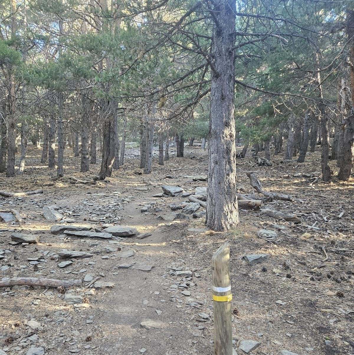
The route ascends on a very pleasant footpath through the pine trees, which is the PR-A 26.
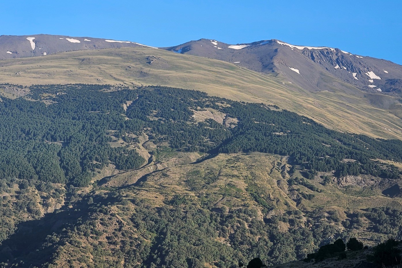
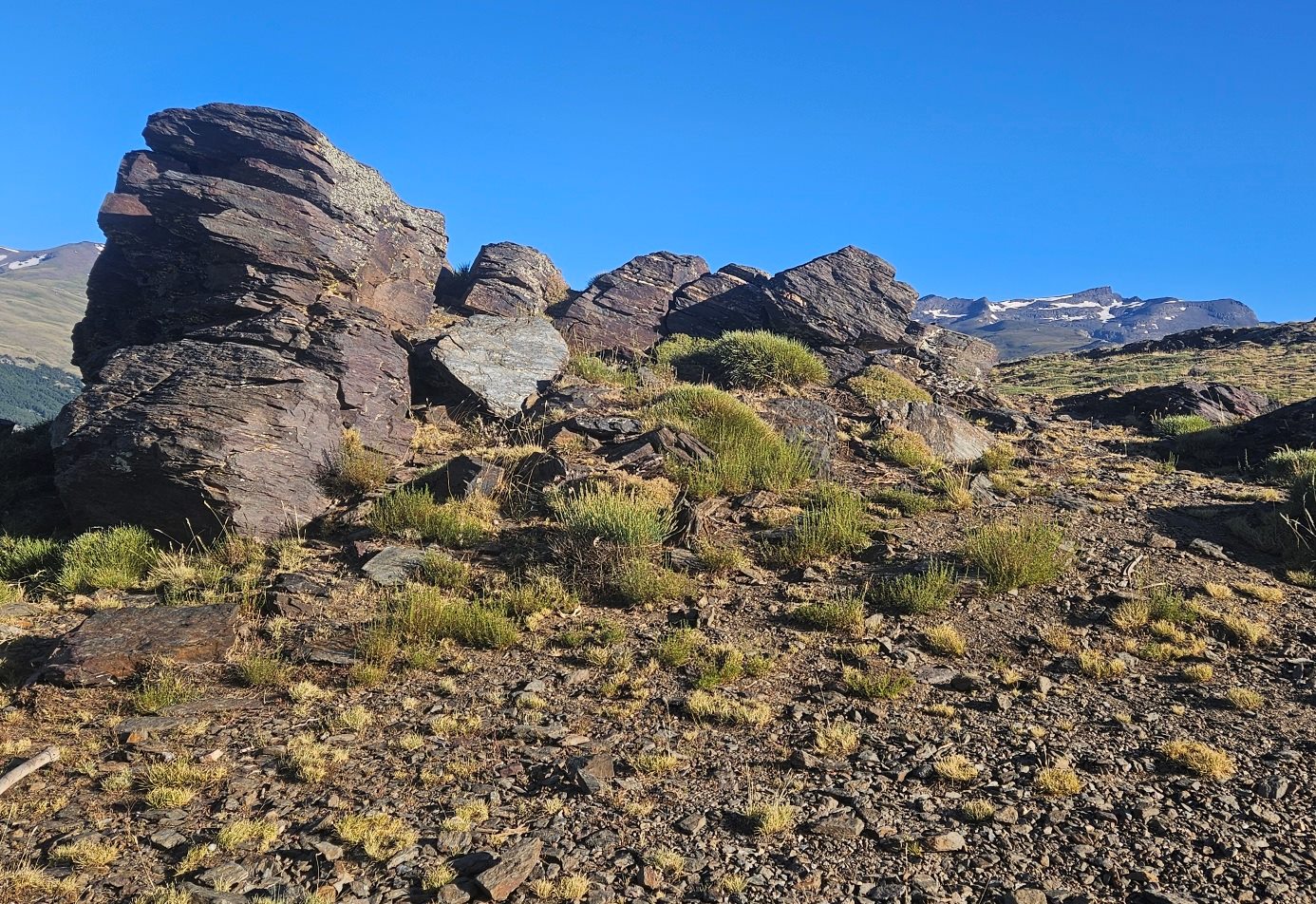
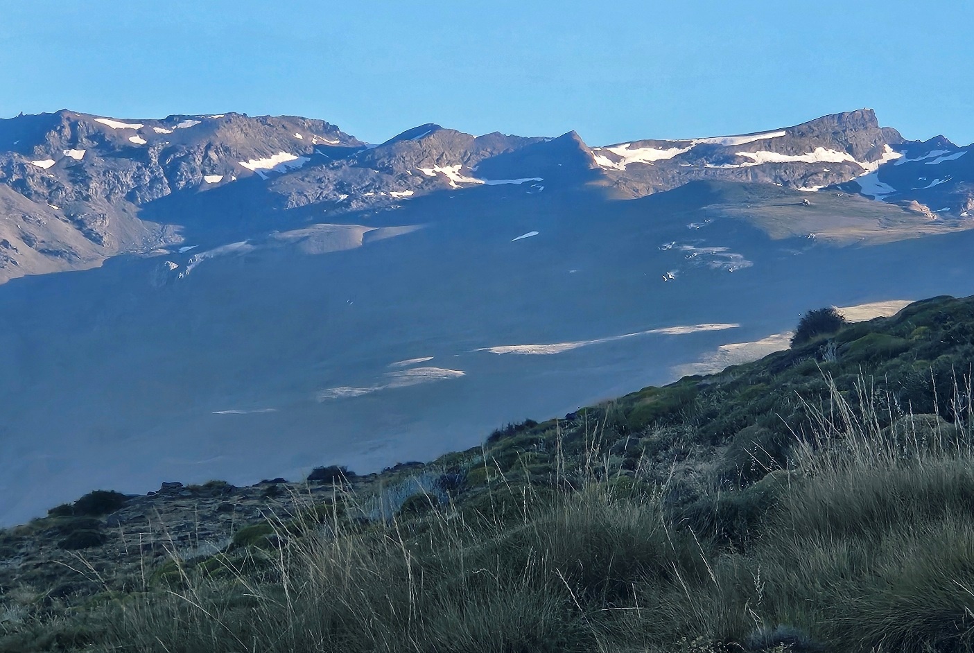
Eventually the forest relents at a height of around 2,300m and a panoramic view of the 3,000m summits opens up.
There is a natural vantage point to the left of the path soon after emerging from the trees.
Walkers may choose to end their ascent here, or continue on to the Puerto Molina which is a short distance further on.
Return by the same path.
Recent Comments