The alternative headline for this route was ‘up the Obispo’, but I’ve already used something similar in another section, so no go on that one. At a strapping 2,014 metres, the Pico del Obispo (the bishop’s peak) is Murcia’s highest mountain. Standing in the west of the region, near the border with Andalucía, it’s a summit which offers sensational views across to one of the most remote areas of Spain – the Cazorla, Segura y las Villas natural park. In the winter the added attraction of snow can turn the horizon into a very splendid apparition.
The walk starts from the attractive hamlet of Inazares which stands at the sprightly height of 1,350 metres – a good springboard for an assault on a high summit. It’s a waymarked route on the PR-MU 105 footpath, with the white/yellow stripes on rocks helping with orientation, along with a number of signposts. The regional government has hewn out new sections of path, which are easy to follow and help to make the ascent easier.
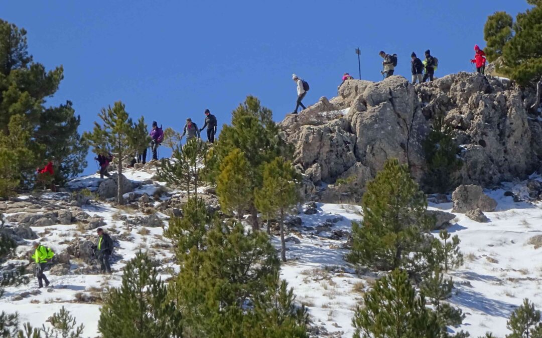
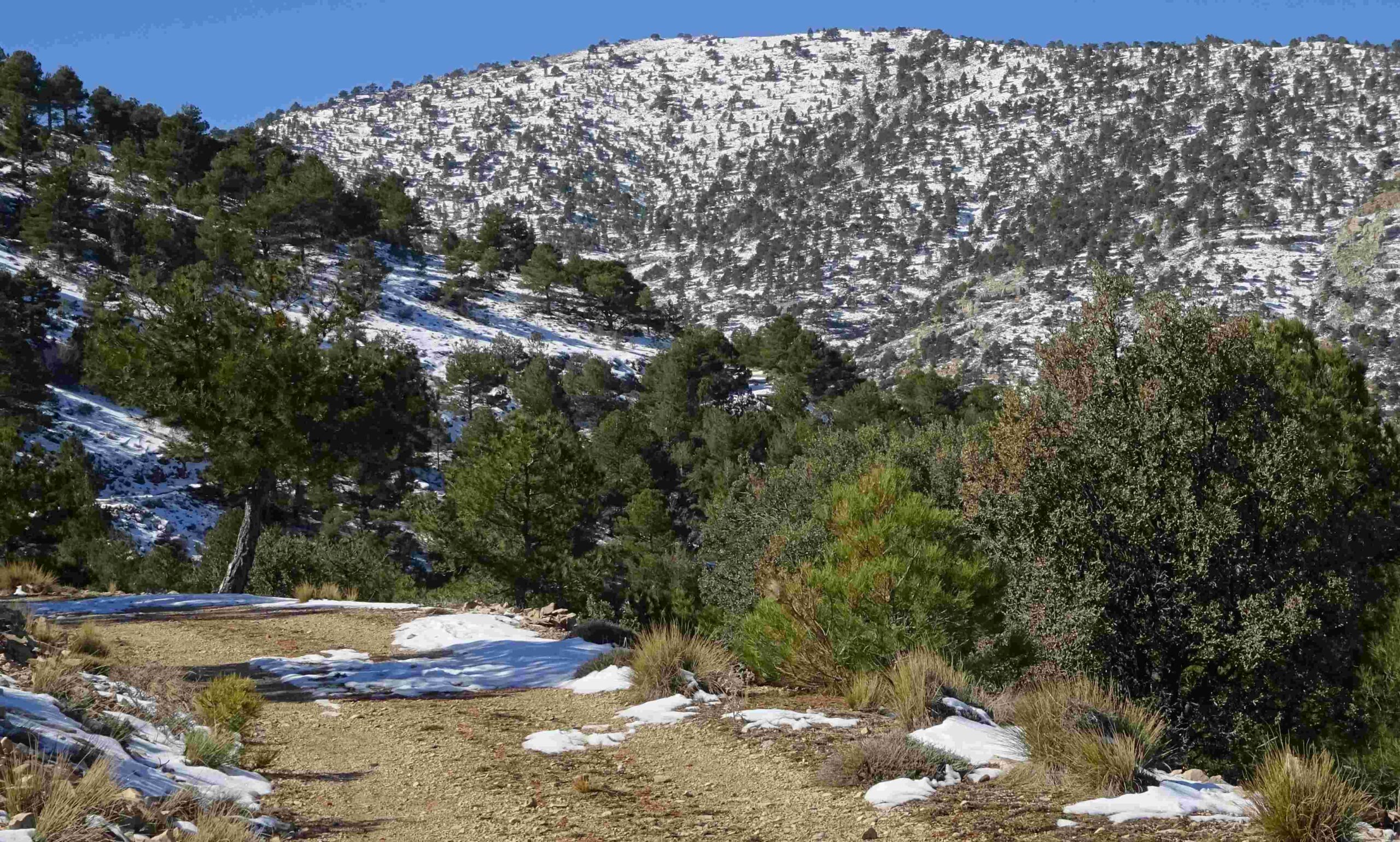
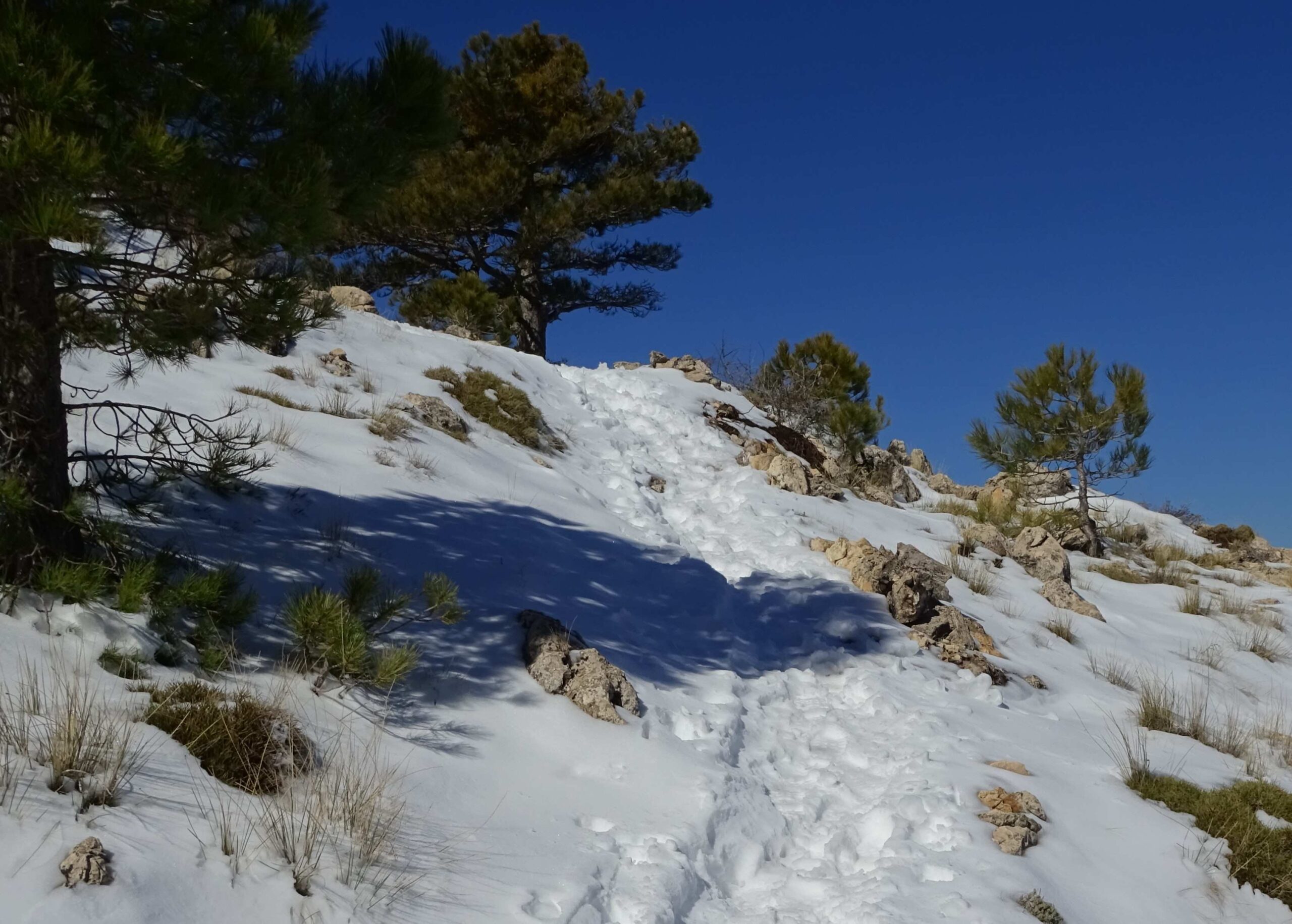
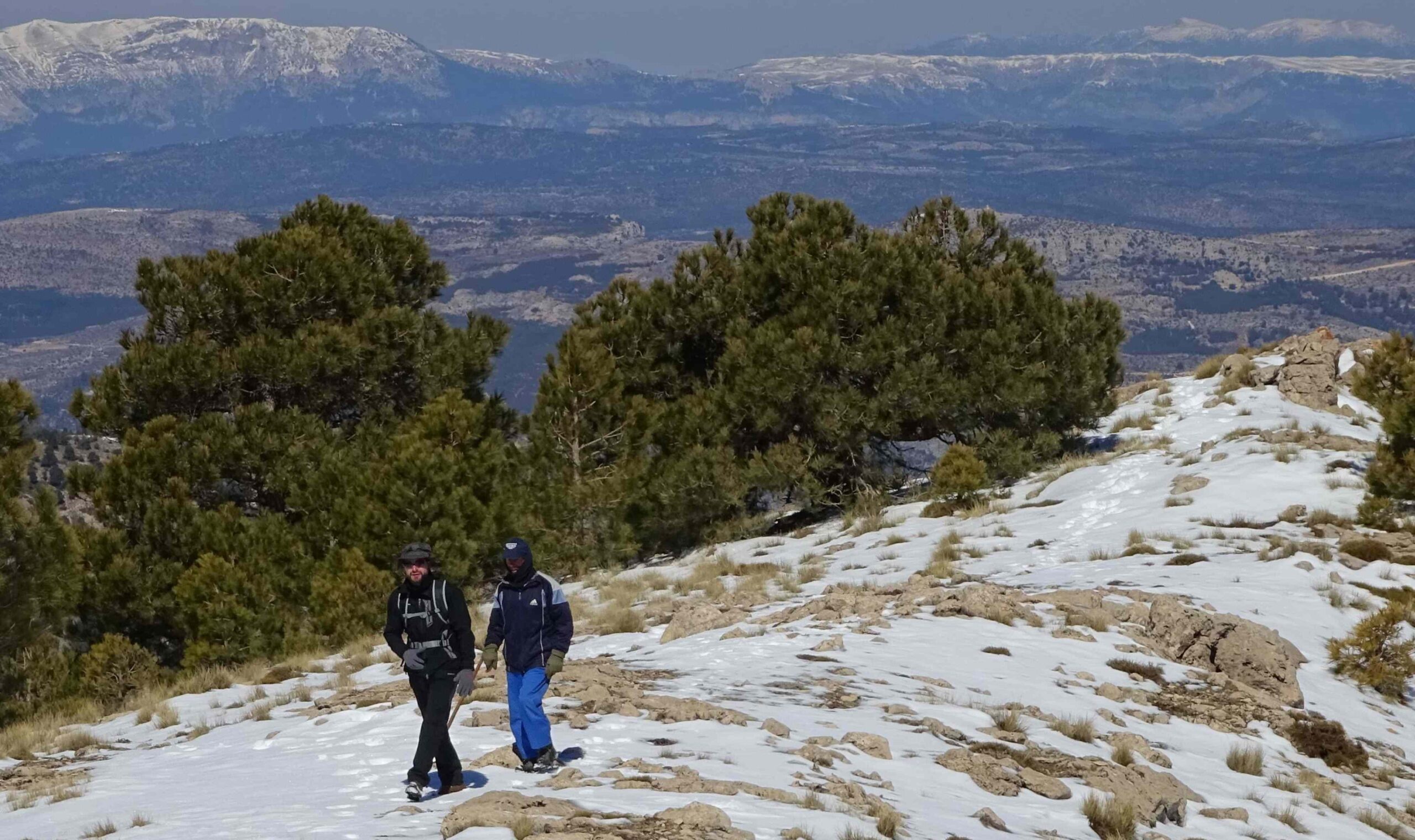
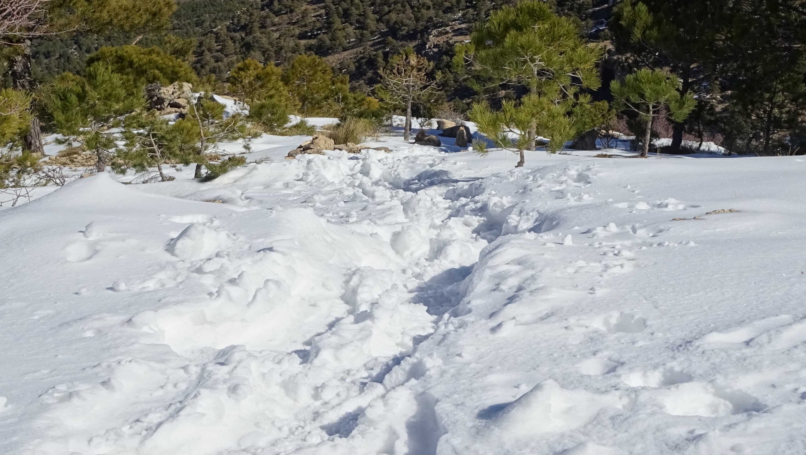
This is not a difficult climb and it should be within the reach of most practised mountain walkers; the final section is quite steep in places, but not overly so. However, in winter, snow can be a factor. There was more than 20cms in places when I went up during a March jaunt, although it did not hamper my ascent. Problems would have arisen if the ground had been frozen, something walkers should take into account.
The walk
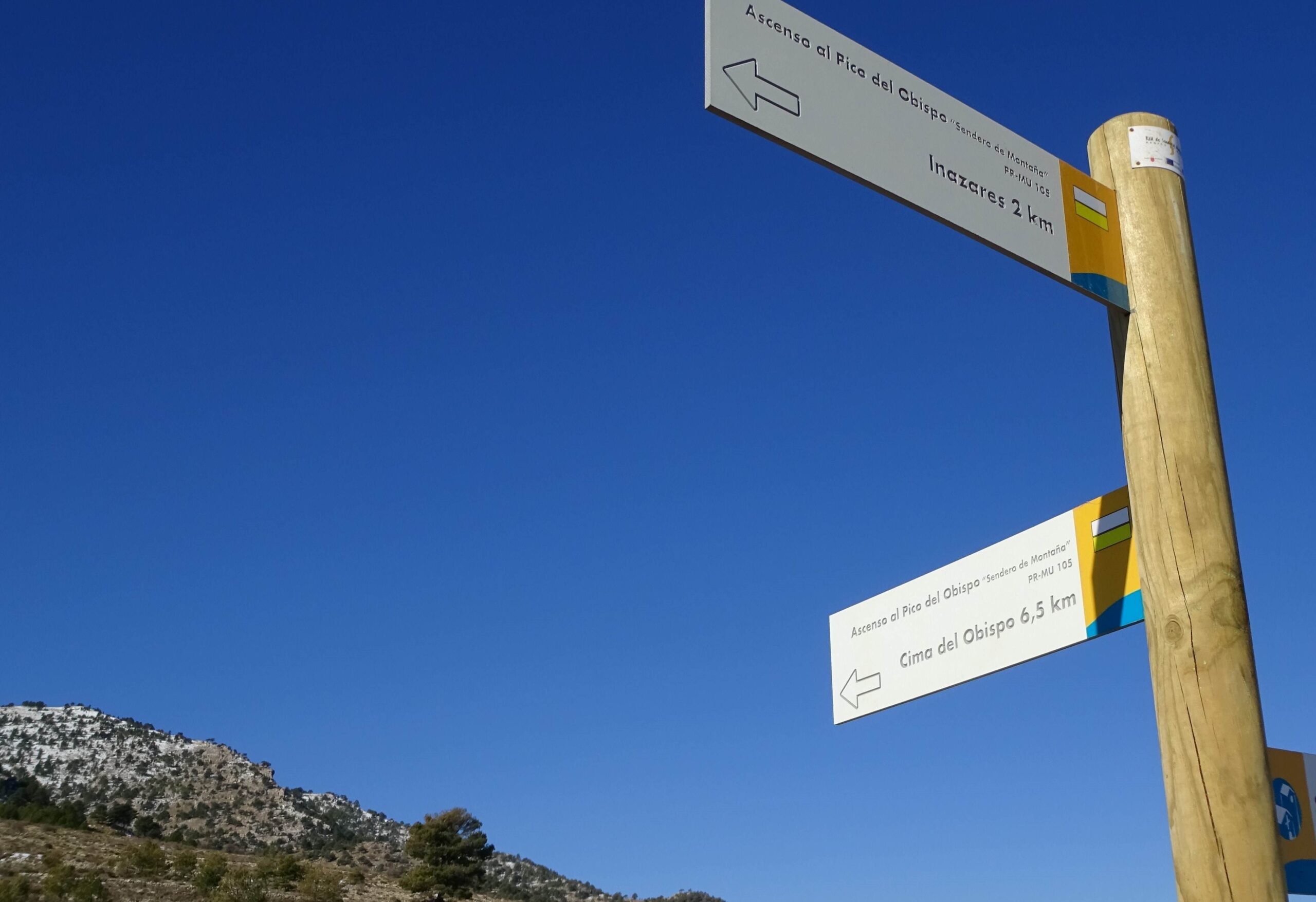
Start from the walk boards at the back of the village. Head out of Inazares on the wide track, keeping straight on at a fork to pass the old washhouse which is still in use. The wide track winds up. Keep on it for 2km. Just after passing over the rise, turn off left at the sign pointing for ‘Cima del Obispo’ (Obispo summit), with a further 6.5km to go.
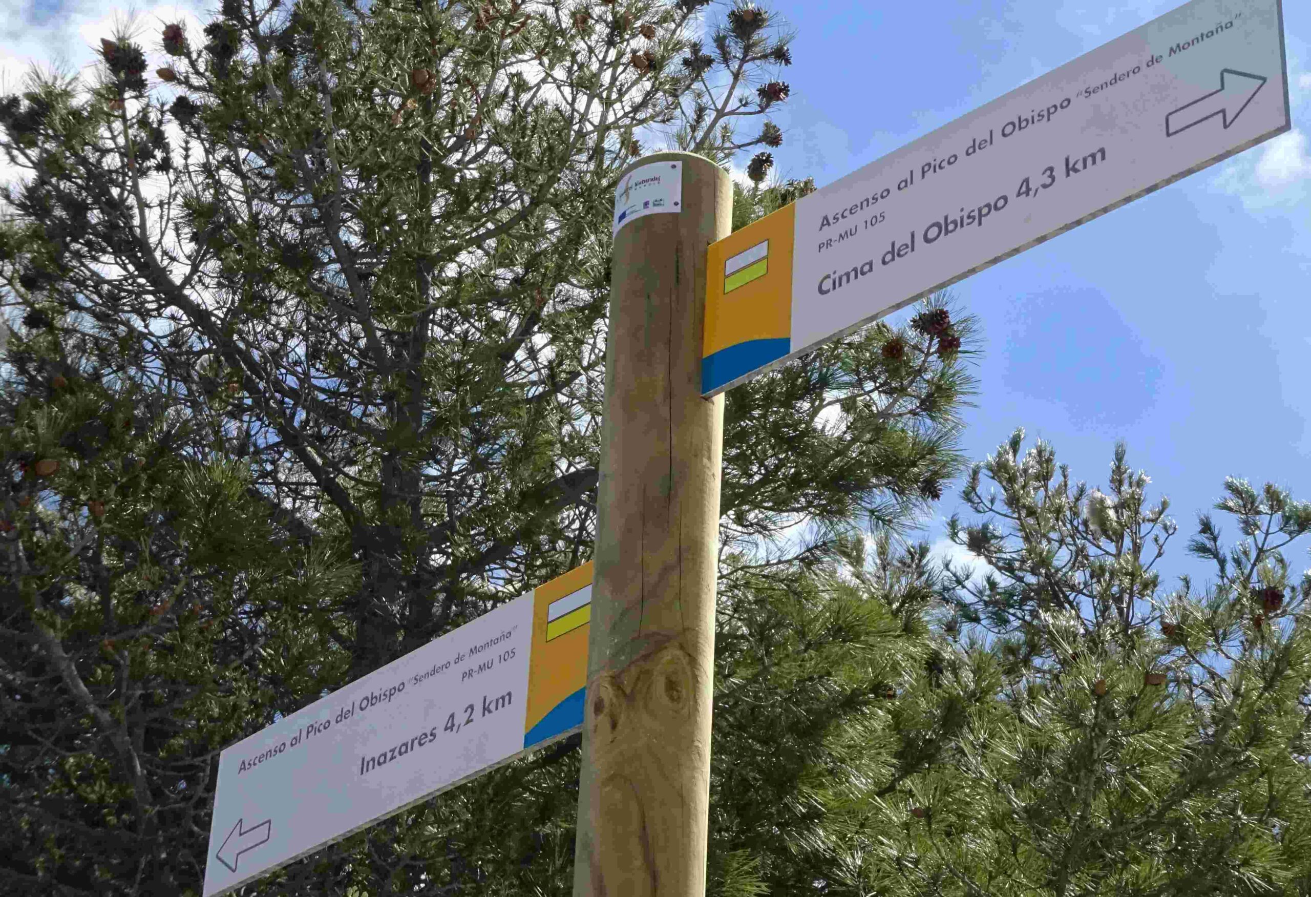
After a short distance on the track, the waymarks point off right. Here a new path heads downhill. It’s a wonderful route which hugs the side of the mountain, passing large rock walls where there are small caves. Once round the lump of rock, the path ascends through the pines and emerges at a track. Continue straight on, following the sign for Cima del Obispo, now 4.3km away.
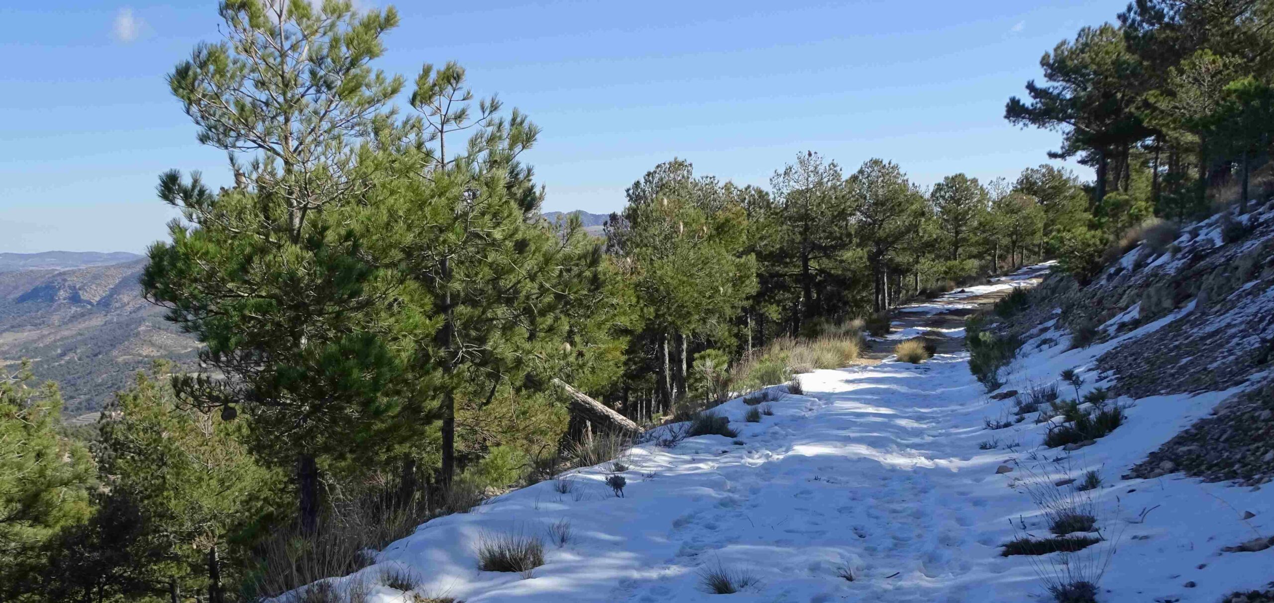
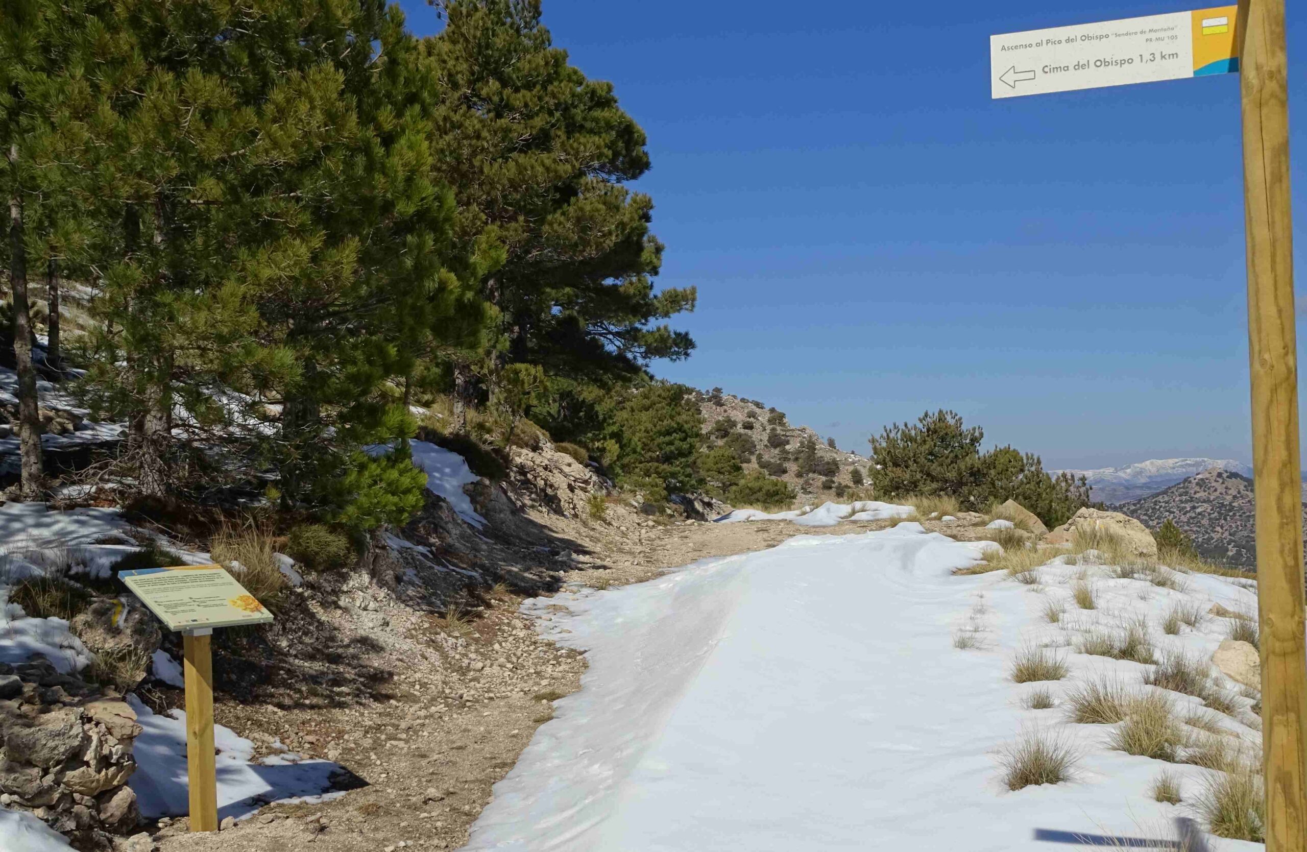
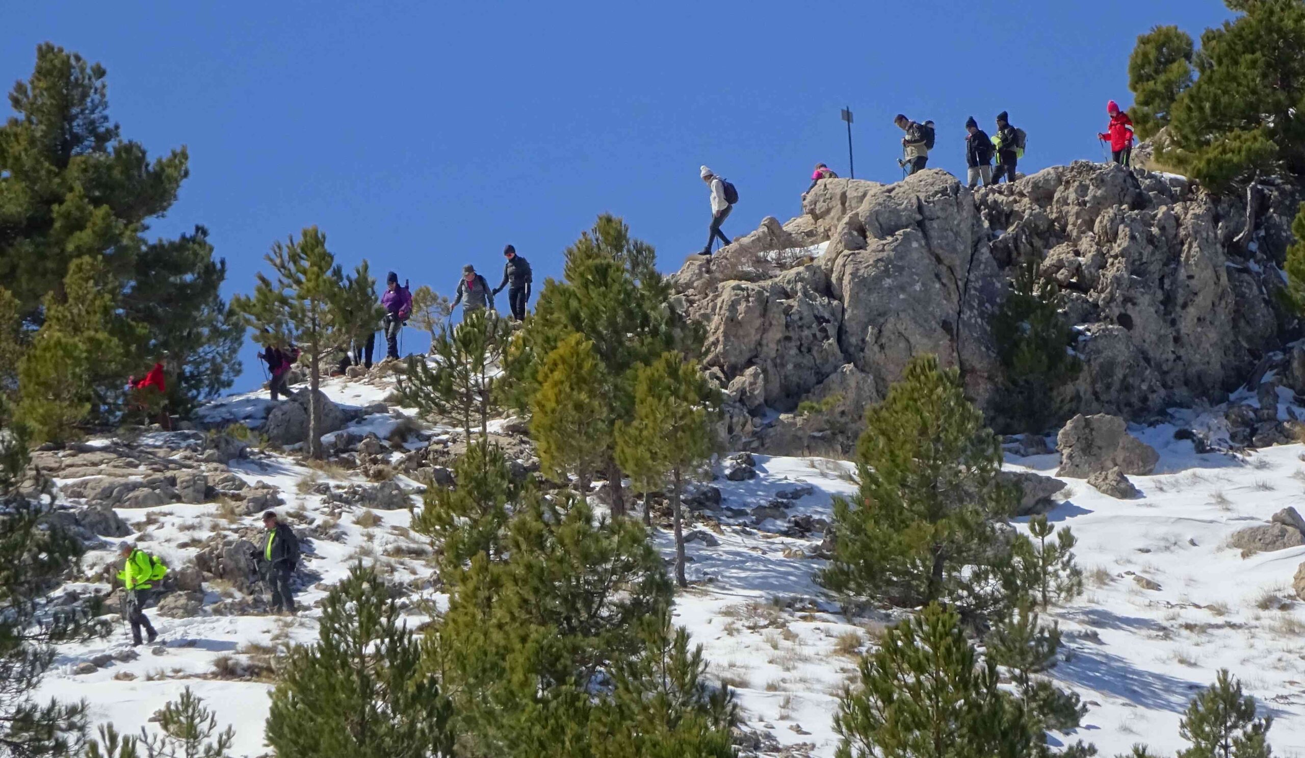
The track winds up the side of the mountain, through the pine forest, with ever-improving views of the mountains in the neighbouring region of Andalucía. It is a 3-km run on this track to the last signpost, which points off left. This is the final ascent to the summit, a further 1.3km on an excellent path.
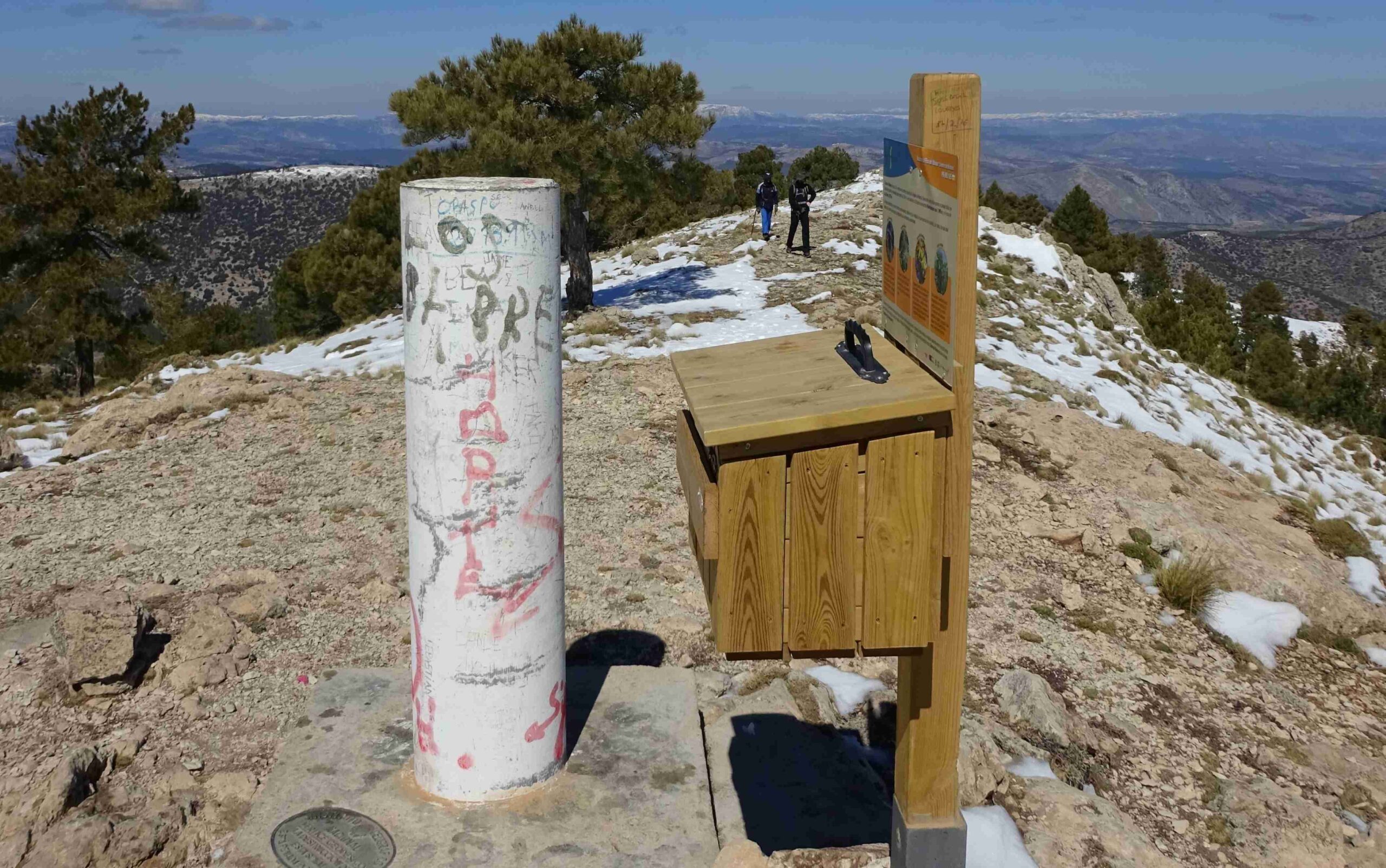
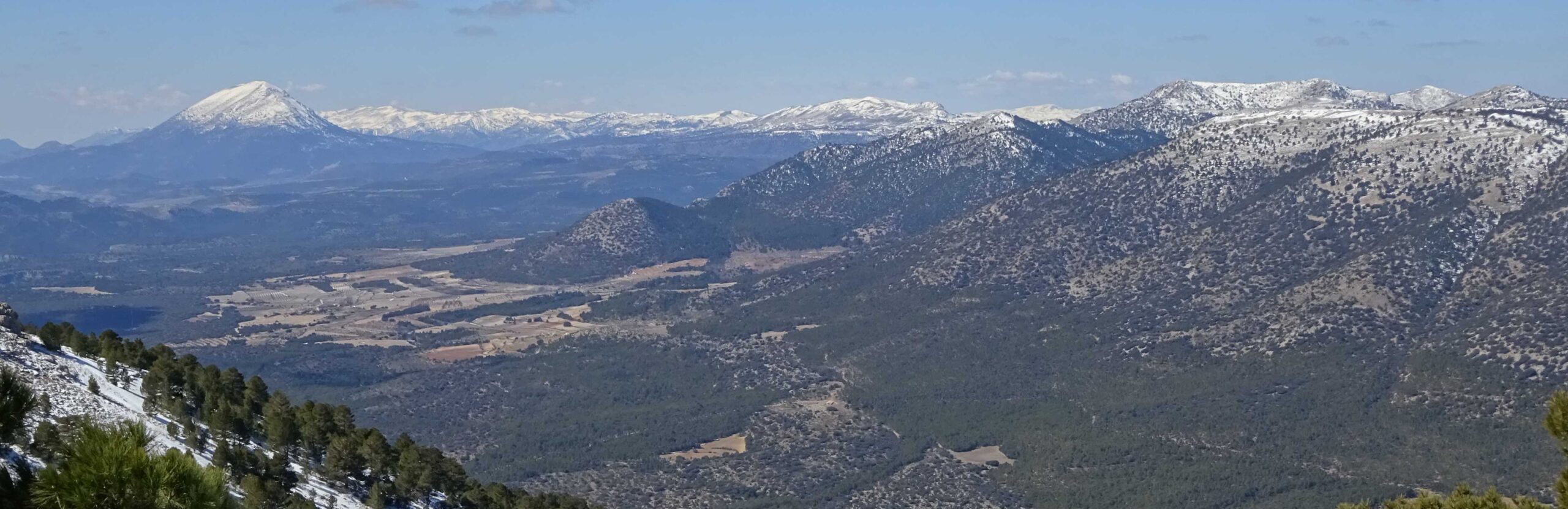
The purpose-built trail follows a wide ridge, running through pines to the rounded peak where there is a trig point. It is worth a wander along the ridge away from the peak to further enjoy the truly incredible views south and west over the wilderness that comprises the north of Andalucía. The nearest large mountain on view is the Sagra, which is behind the town of Puebla de Don Fadrique; it has a rounded summit at 2,383 metres and has snow on it in the photo below (it’s on the far left of the picture). To the right of it and further away are the summits of the Sierra de Segura.
Return on the same path.
Walk facts
Length – 17kms; time – 5 to 7hrs; ascent – 770 metres; difficulty – medium/high; season – autumn, winter, spring; getting there – take the A-7 motorway past Murcia city. Turn off for Almería and Granada, then take the turn for Mula/Caravaca. Pass Caravaca de la Cruz on the motorway and keep straight on towards Puebla de Don Fadrique. Around 30km from Caravaca, turn off right for Inazares. It’s 13km along the single-track road. Drive through the hamlet and park up on the right by the walk boards.

Recent Comments