
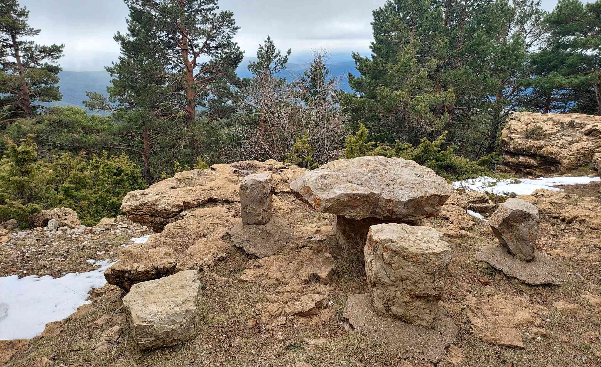
At 2,028 metres, Peñarroya is the highest peak in Teruel province. But, because it is surrounded by land which is also at a high altitude, it does not appear to be such a colossal mountain. However, up top it’s a wonderful spot to observe the surrounding countryside, with panoramic views. Peñarroya has a wide tree-covered peak, with natural picnic tables fashioned out of rock, where a snack can be consumed in relative comfort, but with a cold bottom on winter days.
The route starts from Alcalá de la Selva, a village which is a short drive from our base at Mora de Rubielos. Alcalá stands at a height of 1,400 metres, so it does not involve a huge amount of climbing. The ascent is mostly on wide tracks and the approach to the rounded summit is not difficult. All the same, there is nearly 700 metres of climbing so the walker will need a good level of fitness.
There is an option to drive up to the Collado la Gitana, which stands at 1,914 metres and is on the road to the nearby ski slopes at Valdelinares. It’s a short walk to the top from there. But our route is on the GR-8 long-distance footpath, which takes us most of the way up. A very handy interactive map can also be used via a mobile phone at https://senderosturisticos.turismodearagon.com/senderos/gr8
It allows us to zoom in on all stages of the route so, in theory, there is no excuse for getting lost. The stage we want is ‘etapa 12’ – Valdelinares to Alcalá de la Selva. The maps can be downloaded from the site.
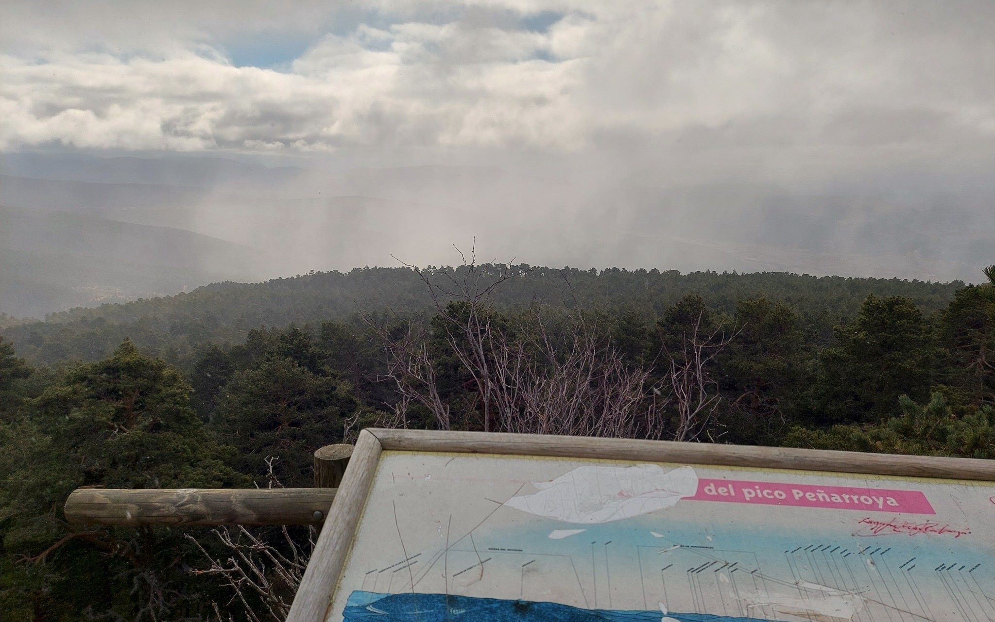
Also, a word about the weather. It can be very hot in the summer, but snow can be encountered at other times of the year. I went up in January. There was some snow at the top, but not a lot. While I was at the summit a snow shower swept through. It got very cold but was soon over and didn’t settle on the ground. These are conditions that should be expected in the winter, with ski slopes a short distance away.
The route
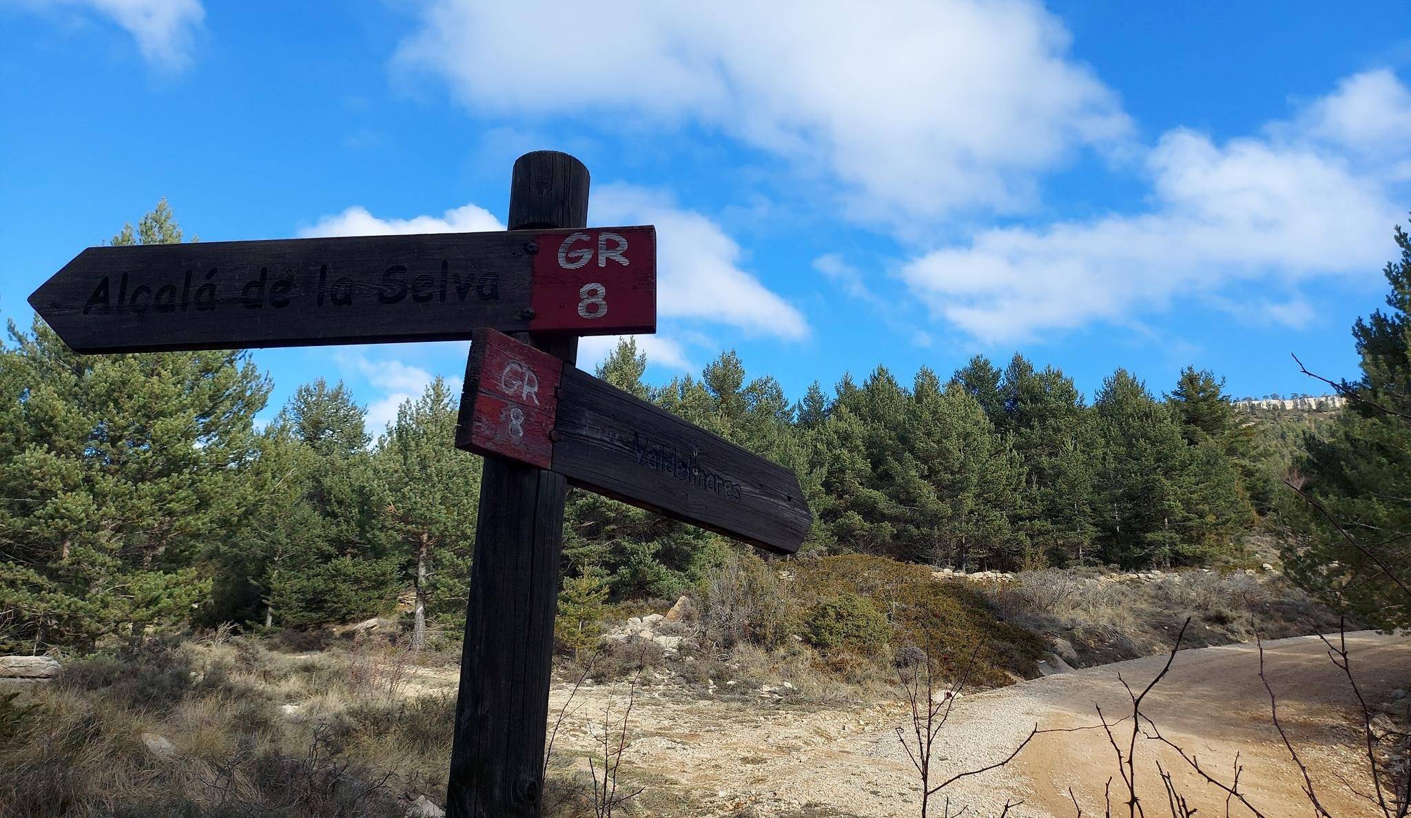
Most of the walk is on the GR-8 long-distance footpath, with the white/red waymarks and signs to follow. If walkers have parked in Alcalá de la Selva, then they will pick up the GR-8 at the top of the village. It is also possible to park just short of the village at the junction on the A-228 which heads to Allepuz; this spot is on the right-hand side at the Fuente Vieja.
From the Fuente Vieja walk around 200 metres up the side of the A-228 to the sign for the GR-8, where the path arrives from the village. The sign points to the right and states that it is 6.5km to the Fuente de la Chaparrilla. It is a wide track which ascends over the rise and starts to head towards the distant summit.
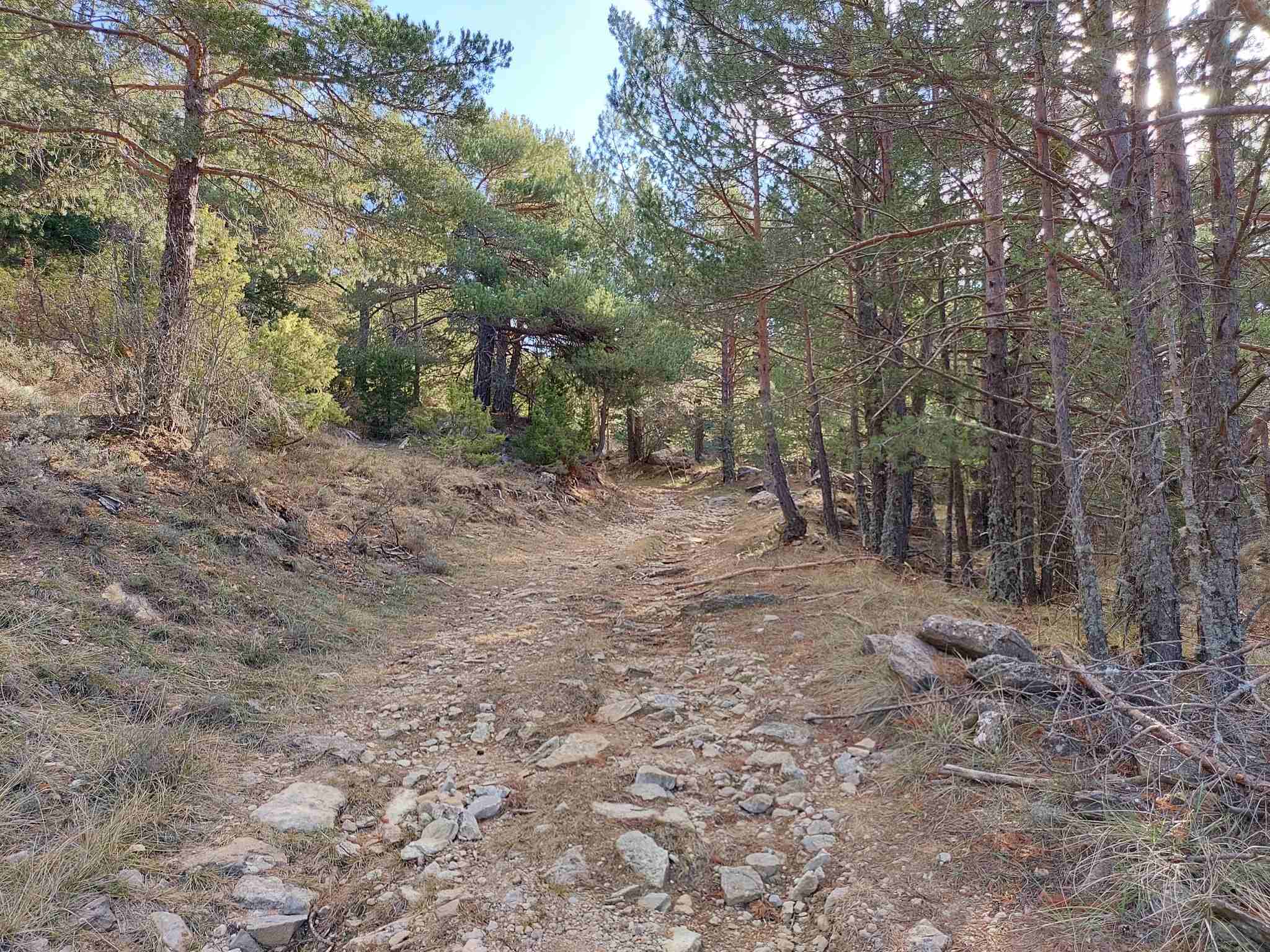
Soon a sign sends the GR-8 along a path next to a stone wall to avoid private land. The route now passes through farming country on paths and tracks that predominately run next to old stone walls. It closes in on pine trees and runs through the woods to reach another GR sign which points for Valdelinares, which is at the end of this GR-8 stage and has the distinction of being the highest village in Spain.
The track passes a lovely old abandoned farmstead, the Masía de Monegro Bajo, where there is a good view over the area ascended thus far. The route meets pines again and the wide track climbs with the trees on either side.
It emerges at a sign for the Fuente de la Chaparrilla nature area (which is 500 metres further on). Bear left at the sign – now off the GR-8 – to ascend on the wide track. Almost straight away the walker has an option to take a direct route to the summit. There is a cairn and it is an extremely steep climb up the tree-clad bank. This cuts off part of the more gradual ascent on the track. On the direct route, emerge at a track, bear right then left very soon afterwards to embark on the final couple of hundred metres to the peak.
Those who take the longer, less-steep option will walk towards the Collado de la Imagen, taking the first available left and left again. Then it’s just under a kilometre to get to the right turn for the summit. At the top, see the rock picnic tables and a look-out post used to watch for fires. Be aware that the metal ladder is very shaky – and the views are good without ascending it.
Return by the same path. The route is approximately 18km in length (there and back), with around 700 metres of ascent. It will take between five and seven hours.
Recent Comments