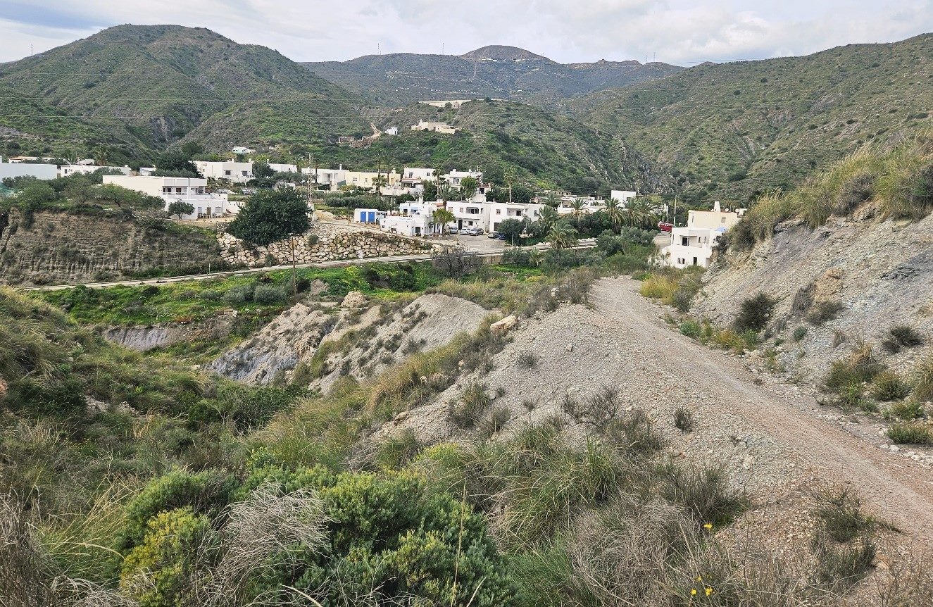
On reaching the hamlet of Sopalmo you will have a decision to make.
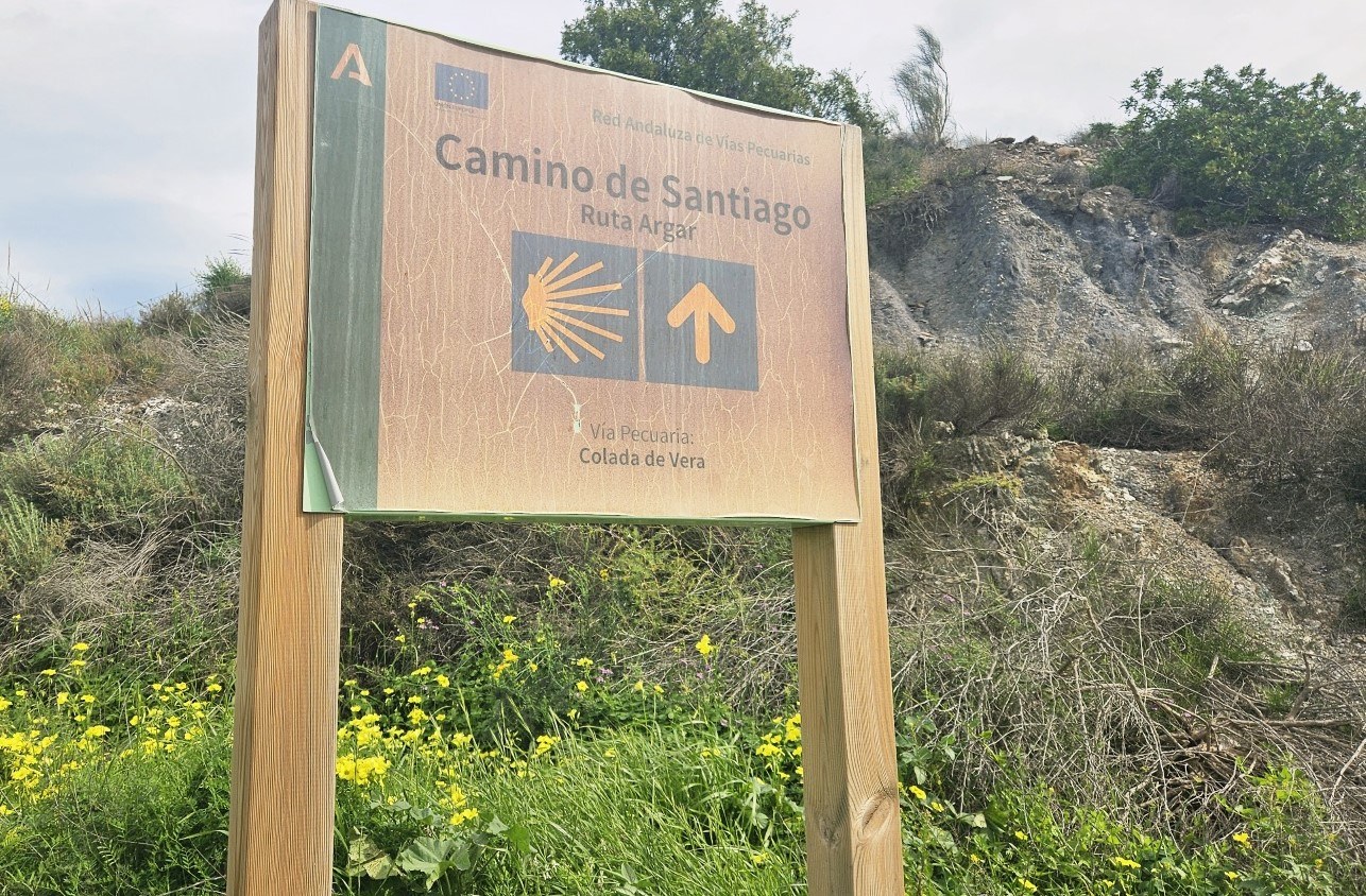
At the entrance to the village, the Ruta del Argar pilgrim trail bears left to go down the surfaced track.
However, some walkers may prefer to walk down the AL-5107 main road to Algarrobico beach instead of taking the ‘camino’. This is because a landslide has occurred on the Ruta del Argar, which will be described shortly.
Taking the road, it’s around 3km to reach Playa del Algarrobico.
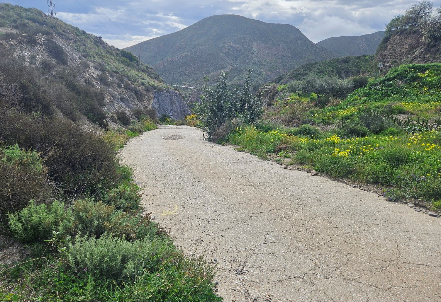
The surfaced track runs parallel to the AL-5107 before turning into an unsurfaced track which descends the wide Rambla de la Granatilla watercourse.
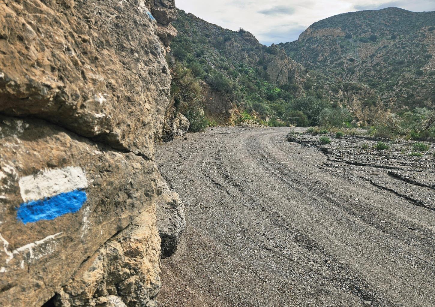
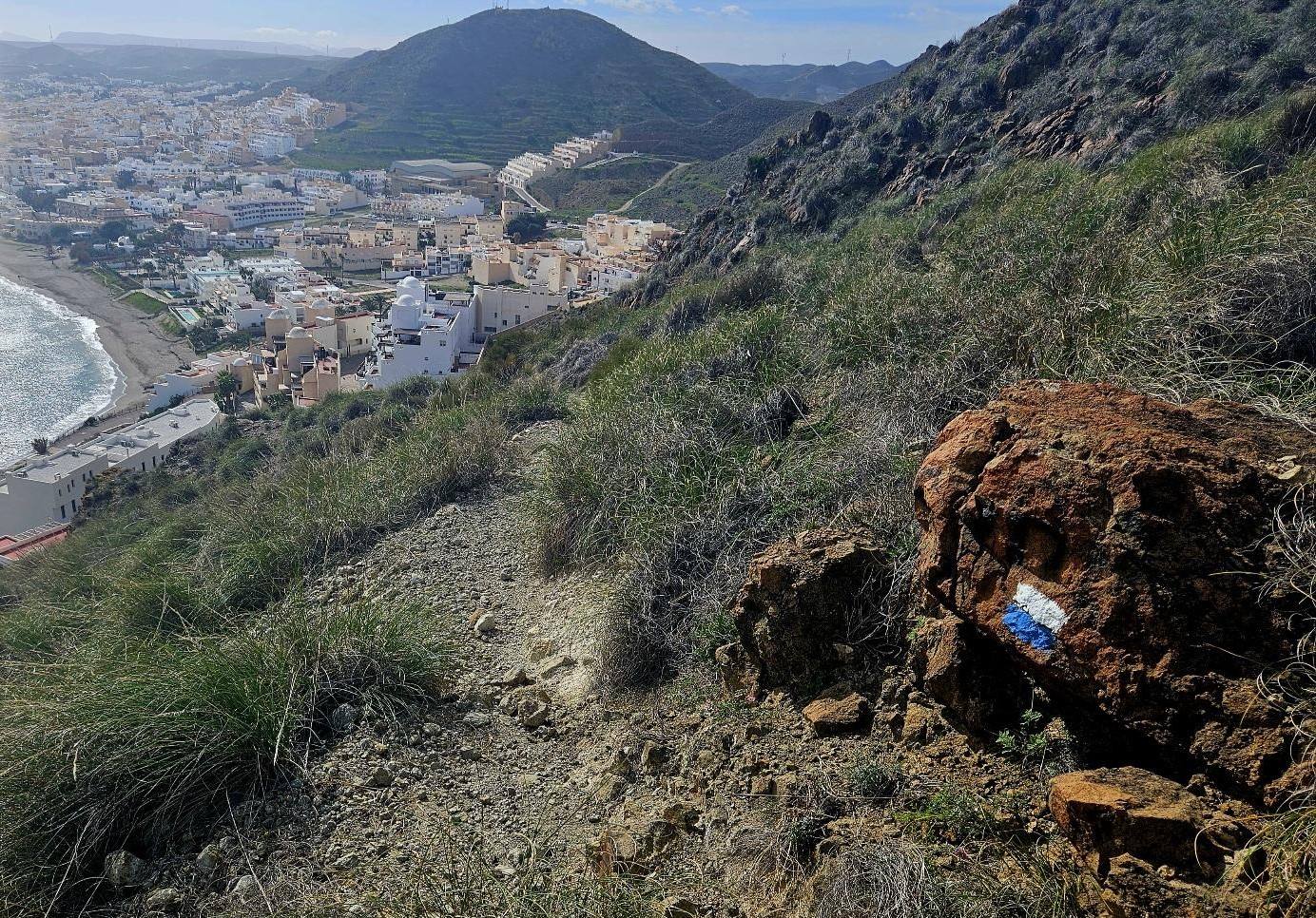
The white/blue waymarks show the way. On seeing the arches of the impressive road bridge, bear left.
Our route goes down the ‘rambla’ to a point where a X appears on rocks on the left. Here we turn right onto a path that climbs the hillside.
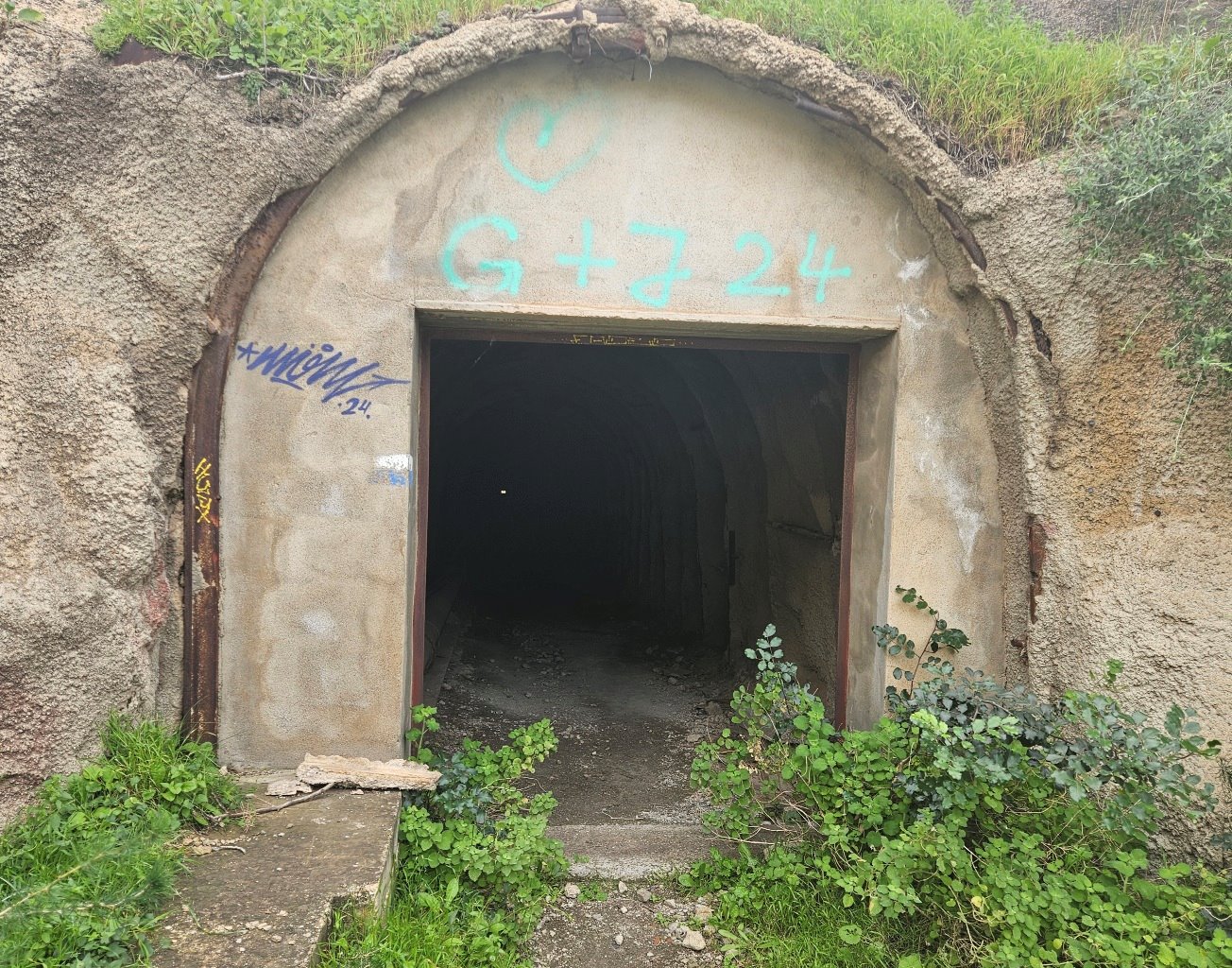
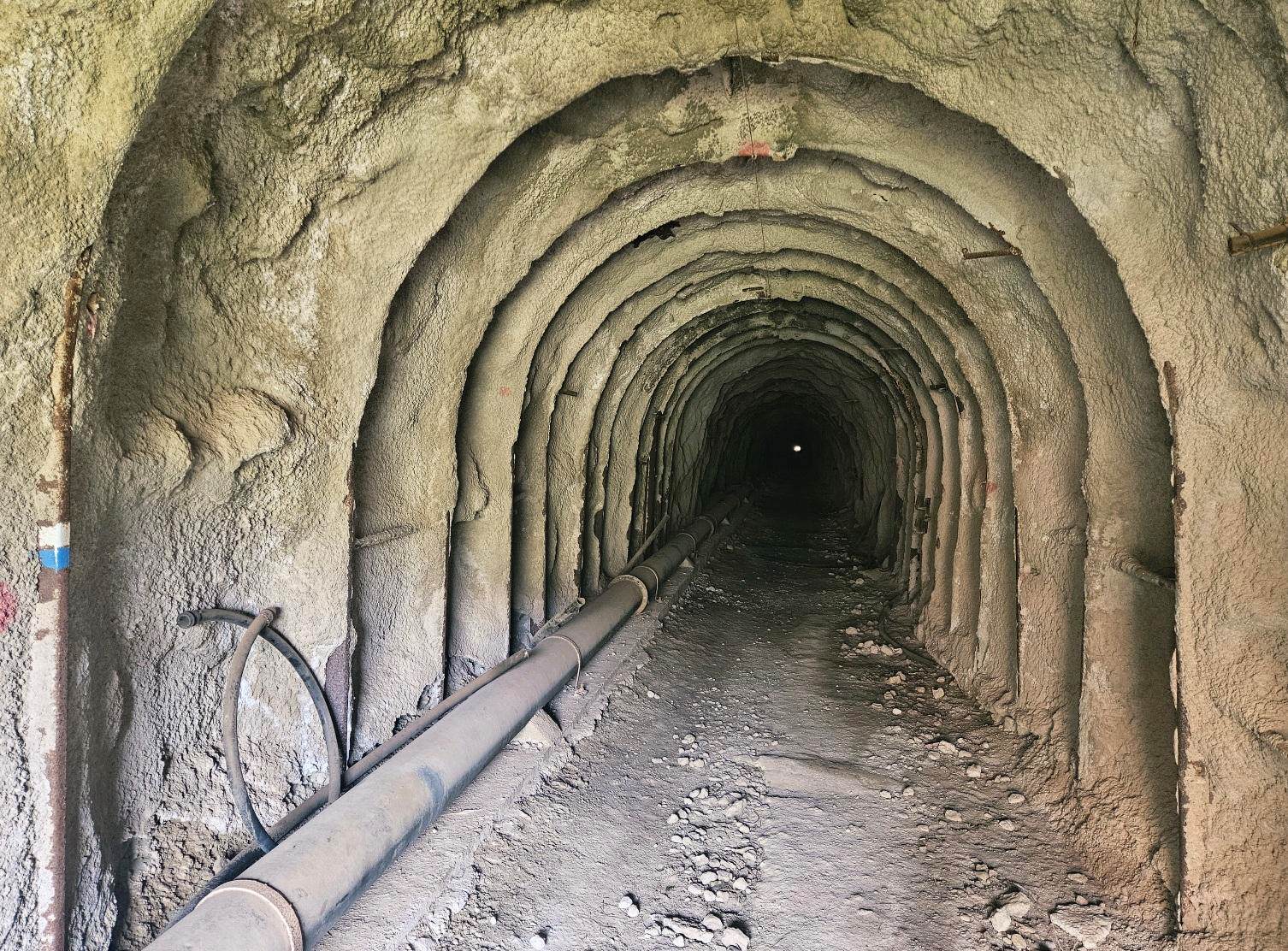
Almost immediately, the path arrives at the opening of a tunnel, the Túnel de la Espina. It is around 400 metres long and it passes through the mountainside. Although some light can be seen at the end, a torch is needed inside.
Around half way along the tunnel there has been a small collapse of earth and rock, but this does not hinder passage through.
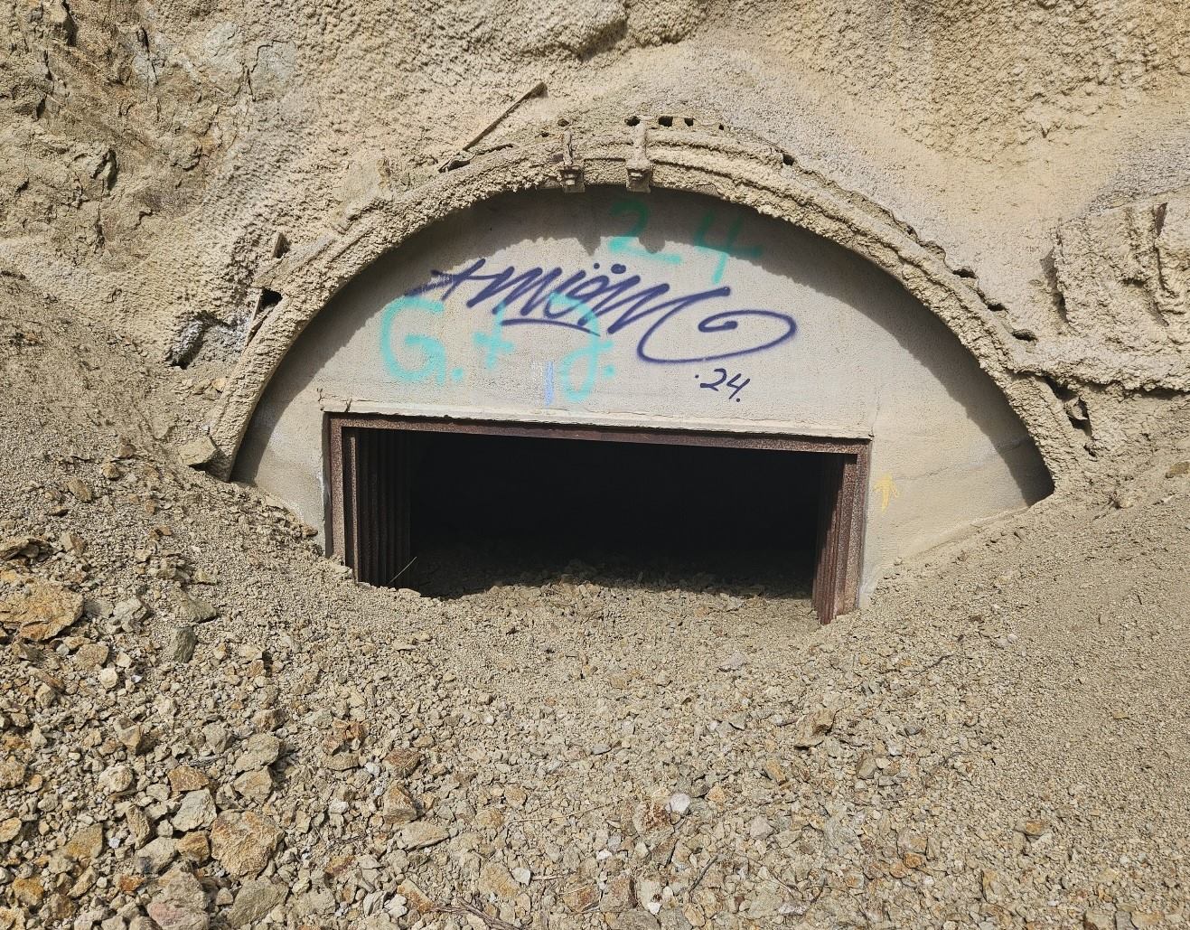
At the exit there has been a more serious landslide which has partially blocked the way. This means you have to crawl out of the tunnel.
It is not overly difficult. However, if you can’t see any light at the end of the tunnel on entering it, then you will know it is fully blocked.
I don’t know when these incidents took place. Landslides occurred all over Andalucía during the torrential rain of January, 2026 causing a multitude of problems.
I can find no reference to the Túnel de la Espina landslide and I do not know what the authorities plan to do about it; whether they will close off the tunnel or clear away the debris, etc.
The tunnel is part of the waymarked pilgrim route and, as such, is a point of some importance in the area but I would not like to second-guess about what action will be taken (if any).
Walkers have to understand that there may or may not be some risk involved in taking the tunnel; I am not qualified to offer an opinion.
Those who feel uncomfortable about the situation should take the road option to miss out this section.
If you walked to the tunnel and decided to turn back to Sopalmo it would add around 3km to the day.
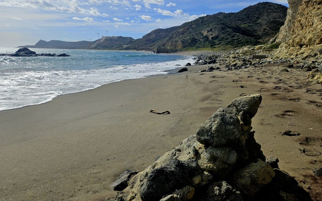
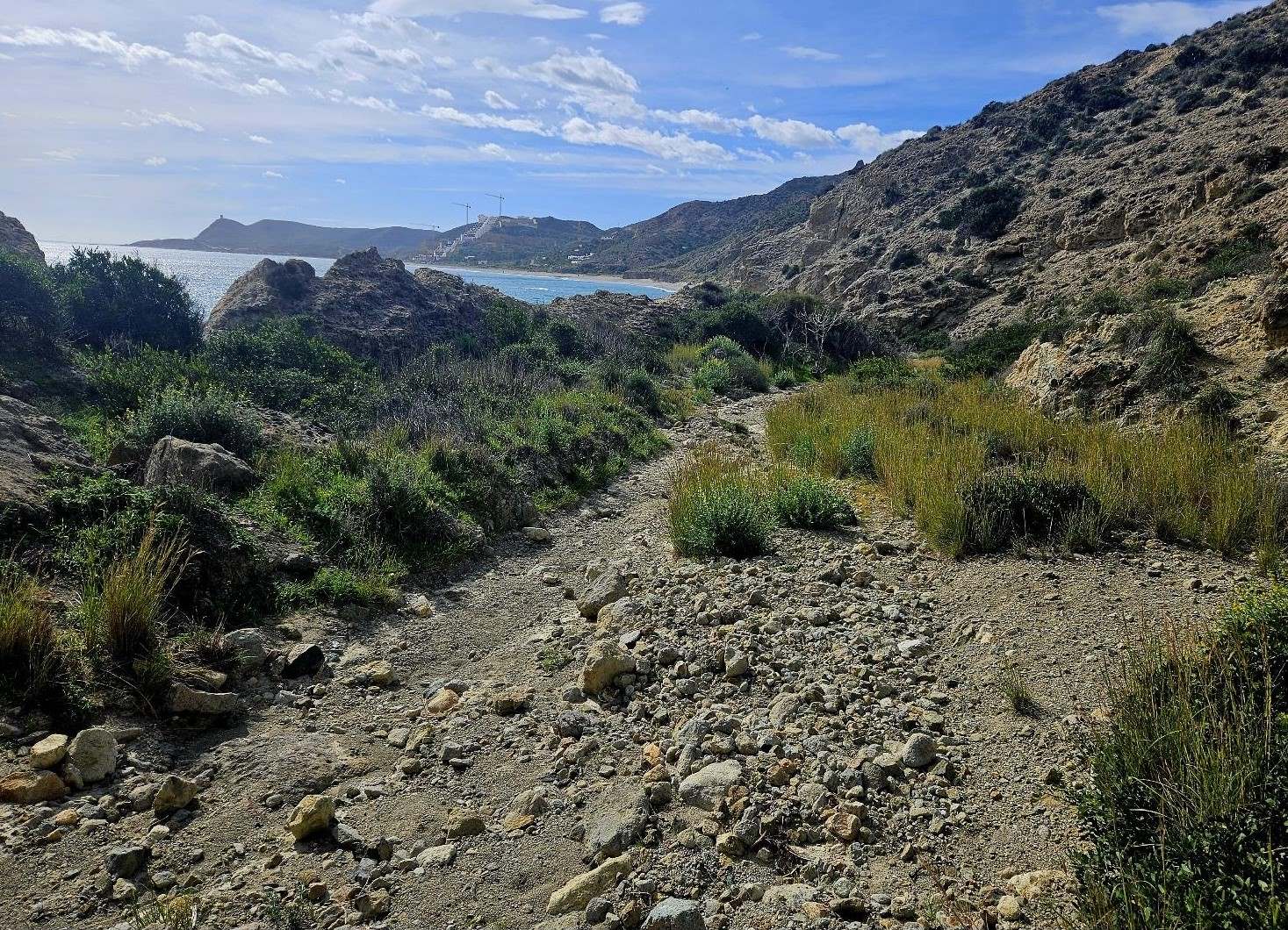
From the tunnel exit the path descends a shallow ravine for several hundred metres to reach Playa del Algarrobico.
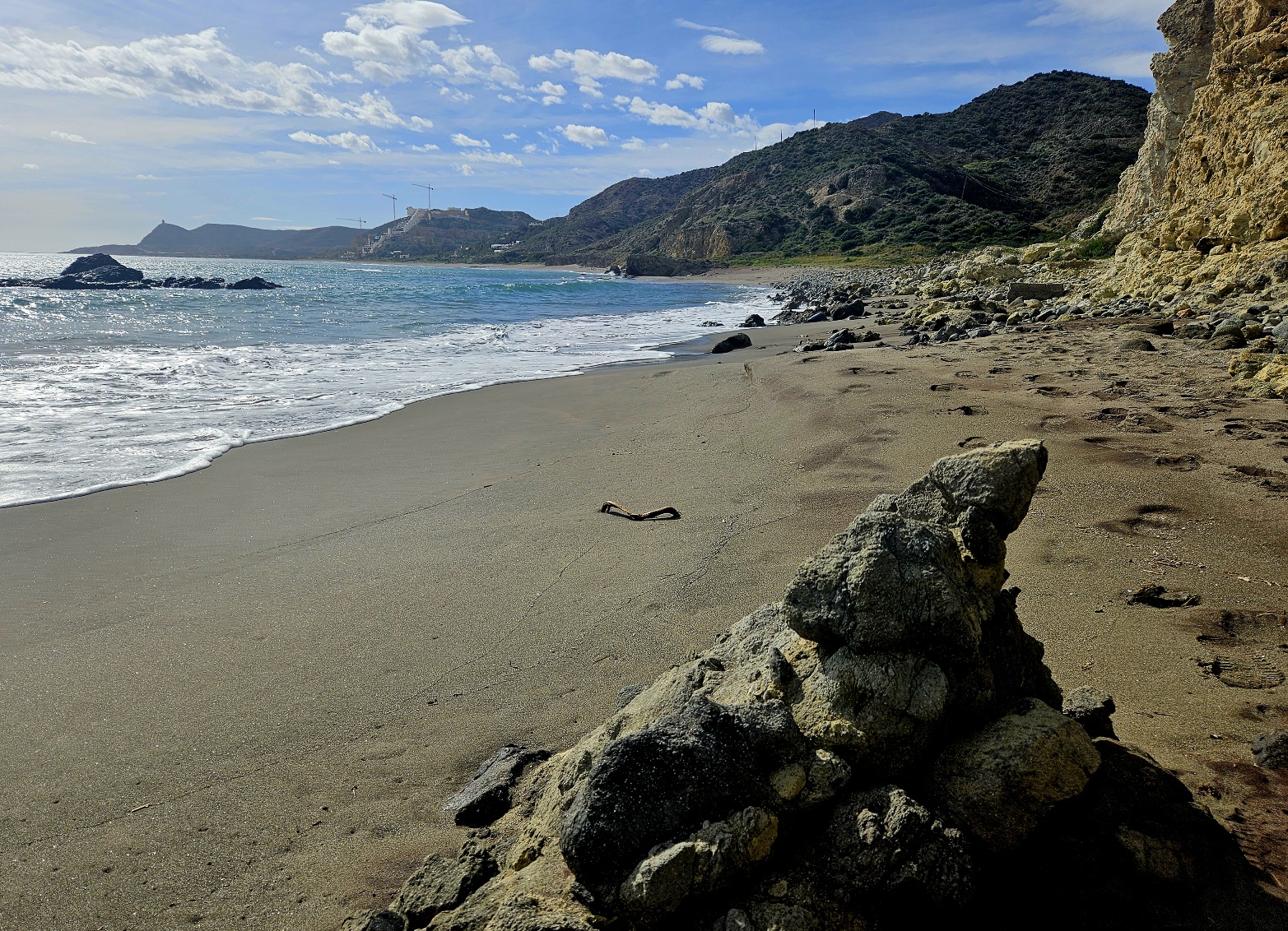
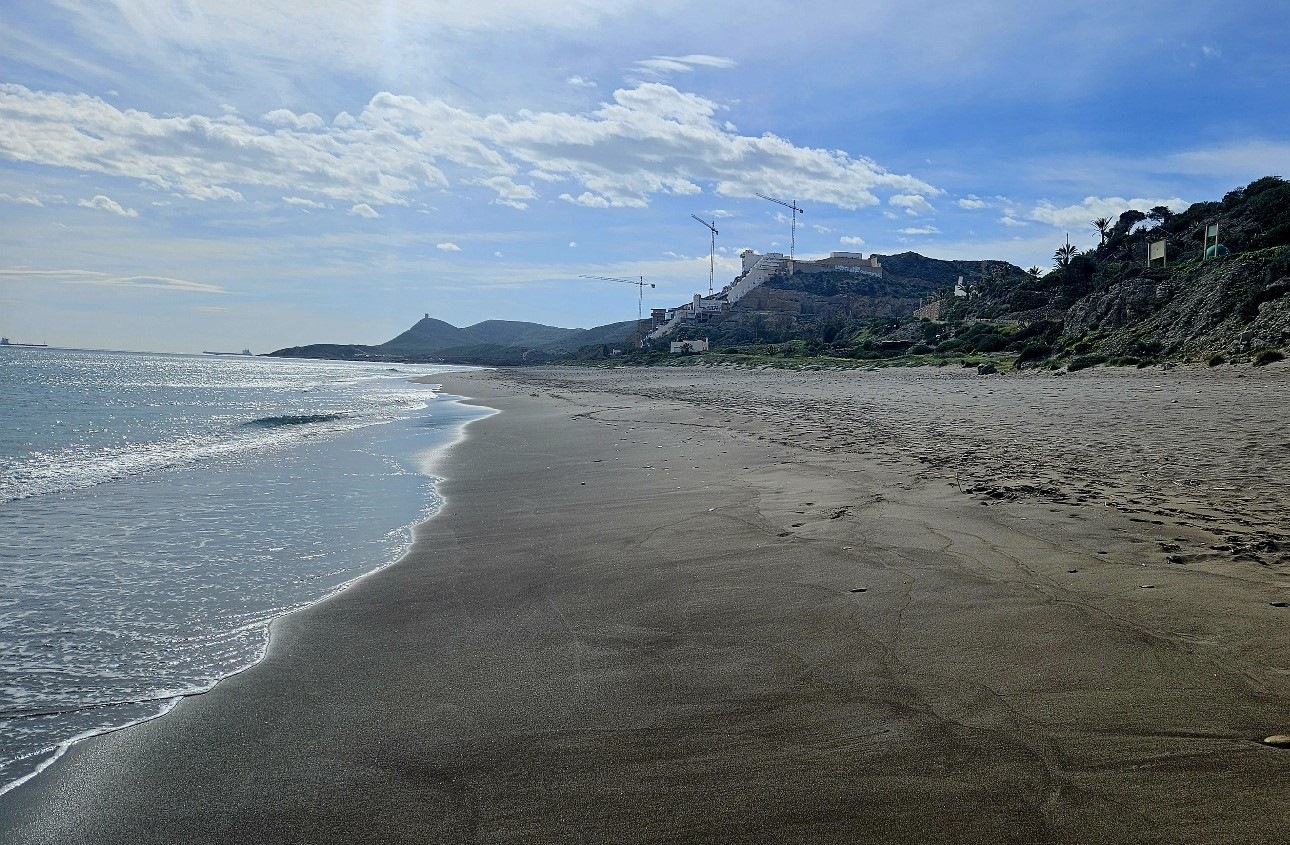
It’s a wonderful sight, as the photos show; apart from the blot on the landscape towards the end of the beach.
It should be noted that further rockfall has occurred at start of the Algarrobico. This does not block the path but does suggest that the hills are crumbly in this area.
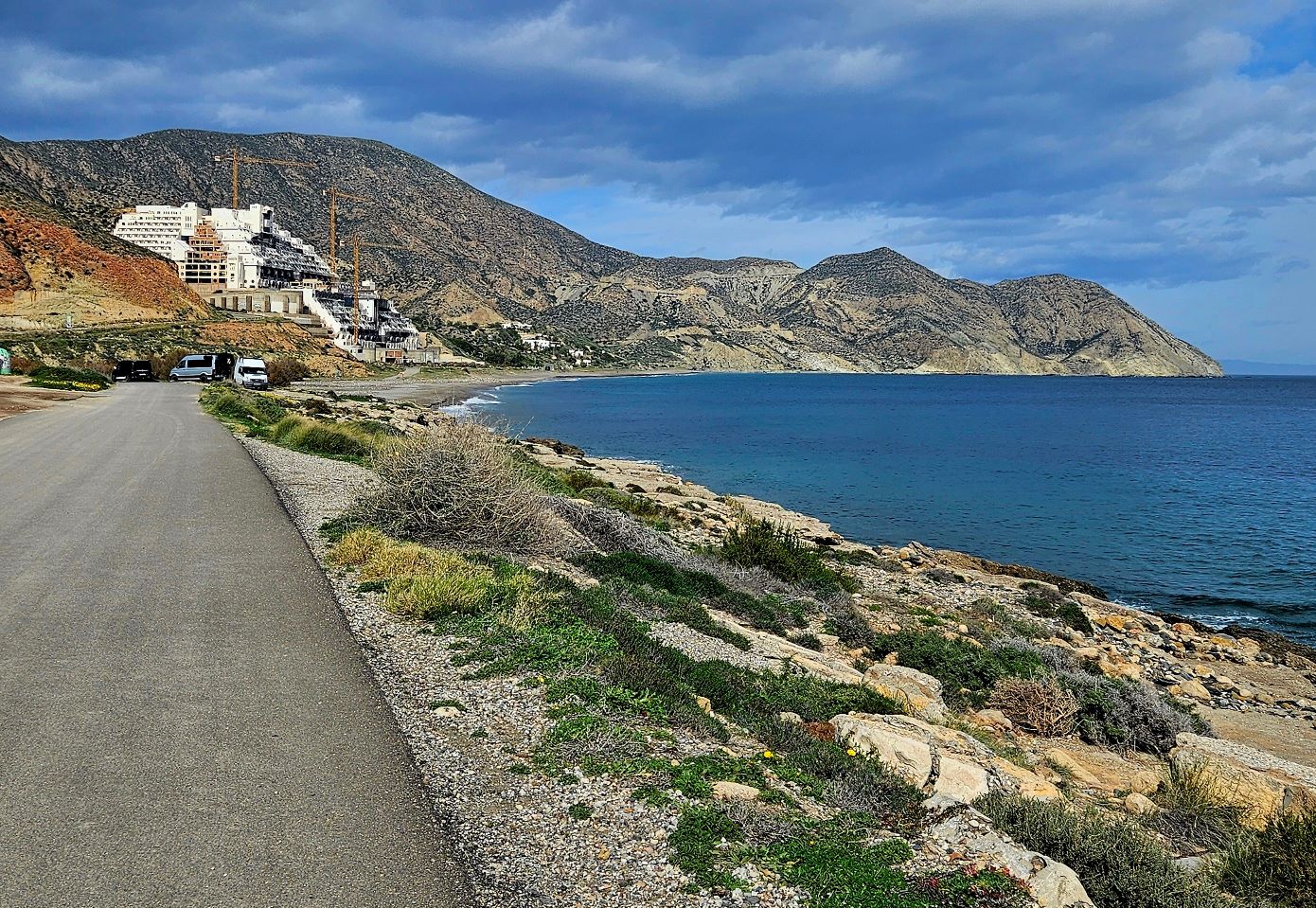
The route has now entered the Cabo de Gata natural park and at the turn of the century the Playa del Algarrobico was one of the jewels of this coast.
This was the beach chosen to shoot part of the classic film Lawrence of Arabia, starring Peter O’Toole.
I wonder what ‘Lawrence’ would think now if he could see what has been done to this site of great natural beauty.
More than 20 years ago construction started on the pictured hotel. The legal battle to have it demolished is still in the courts.
It is an incredibly complicated procedure, with the government claiming half the land ‘for the people’ as it lies inside the protection area covered by the national Coast Law; another part of the hotel falls under remit of the Andalucía regional government.
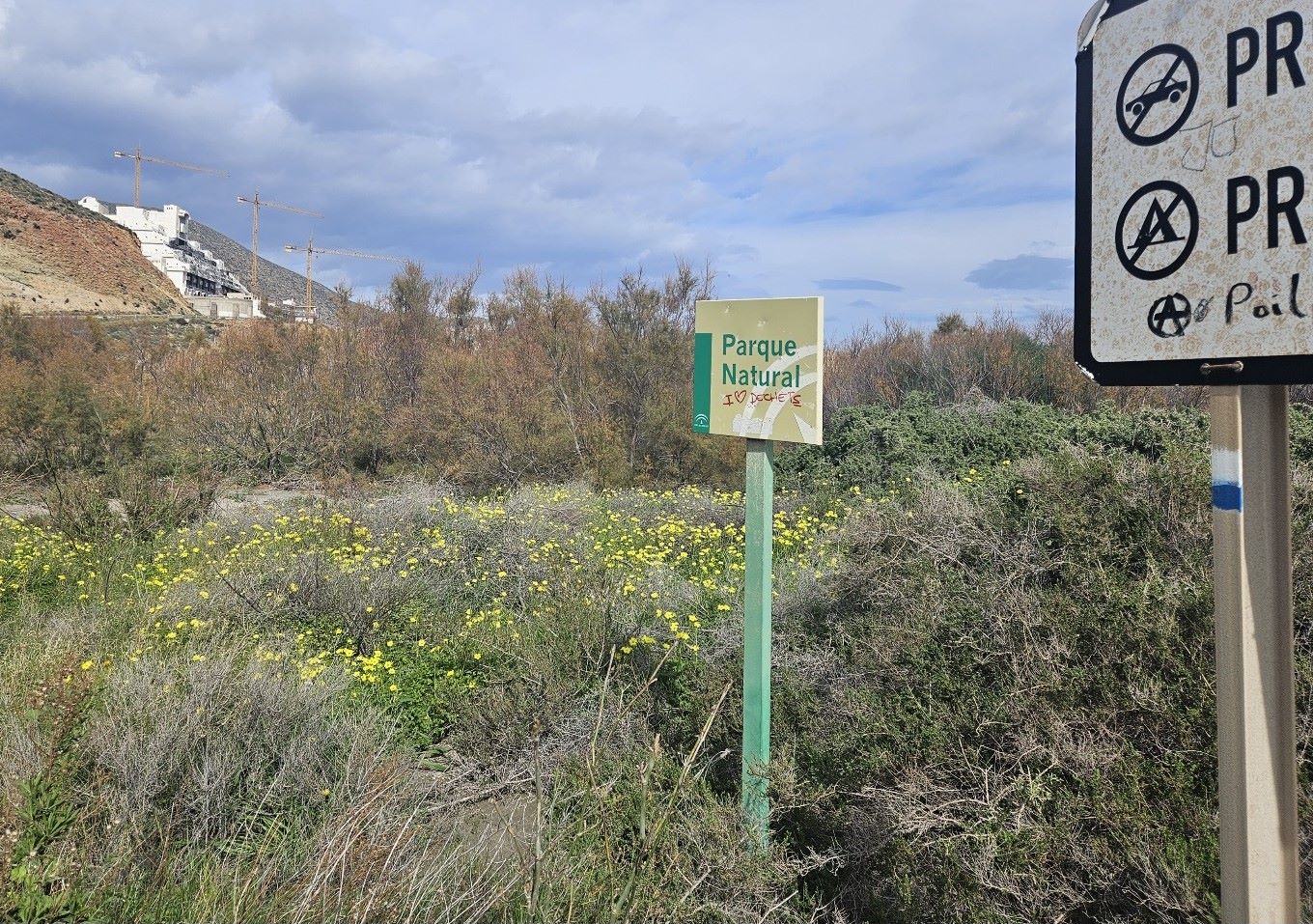
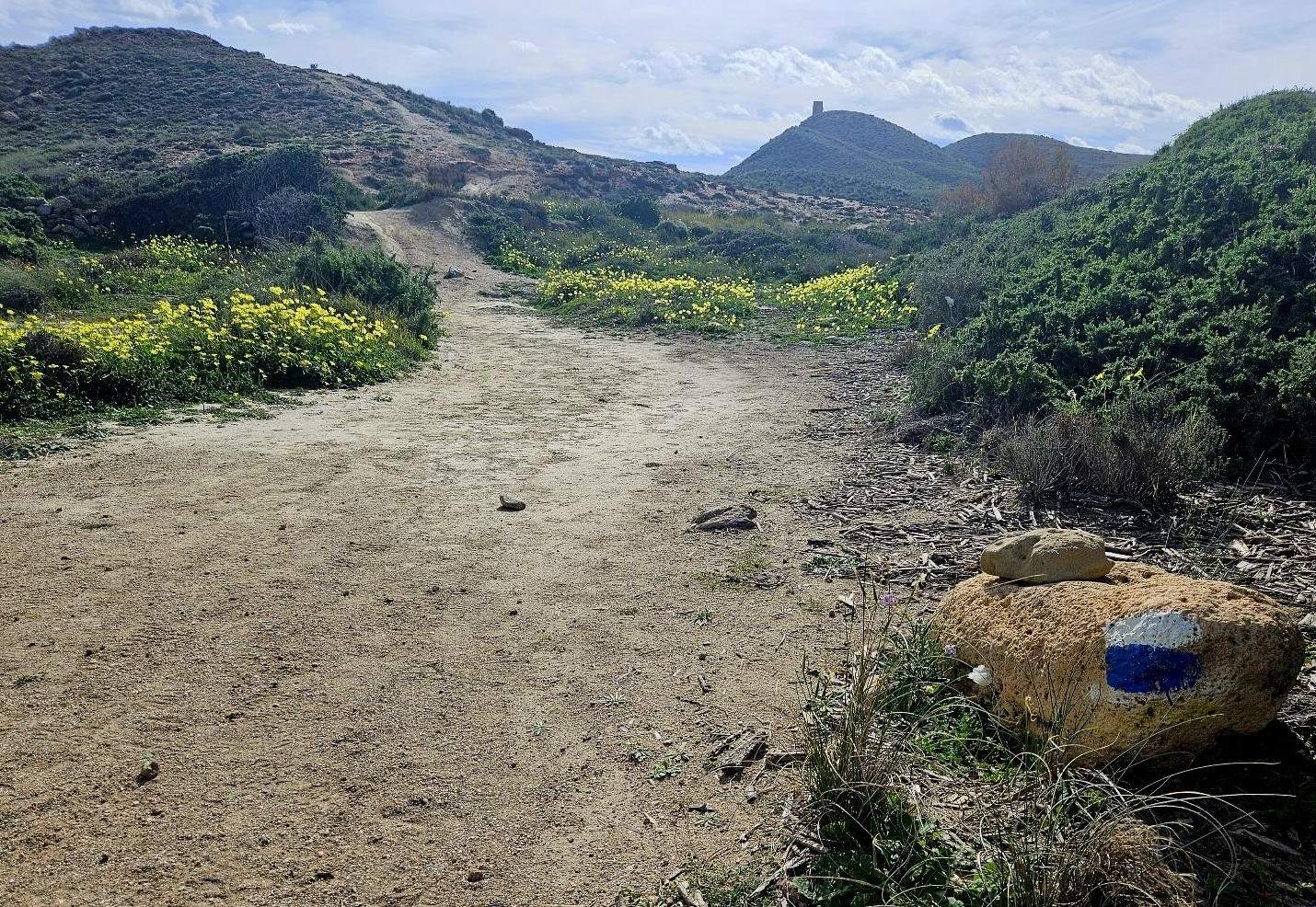
After passing the hotel we bear left along a coastal lane and then onto a wide track, passing a sign stating ‘parque natural’.
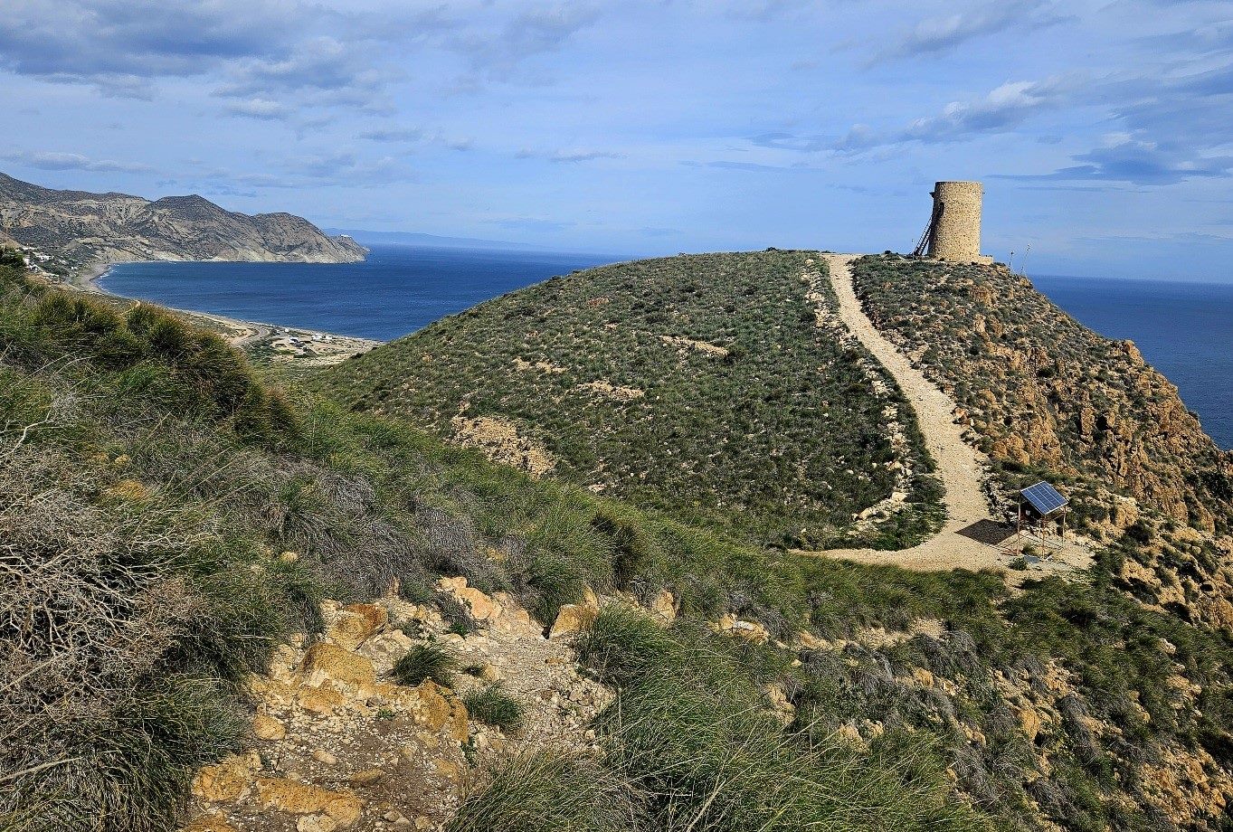
Keep following the waymarks. There is a very short section on the road before turning onto a track to start the ascent towards the Rayo watchtower on the hill.
It’s a steady climb with the track turning into a path. Reach a point where the route forks; it’s left to the watchtower but we bear right to continue ascending.
The route passes close to the edge of the cliffs but a safe distance can be maintained from the precipice.
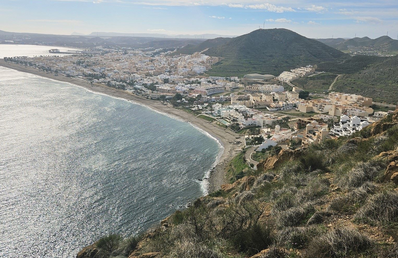
Passing over the rise, there is a very good view of Carboneras and the route of the following day’s walk up the Mesa Roldán (table mountain), an extinct volcano.
Care has to be taken while descending on the path to Carboneras. It’s not wickedly steep but there are loose stones which makes it slippery.
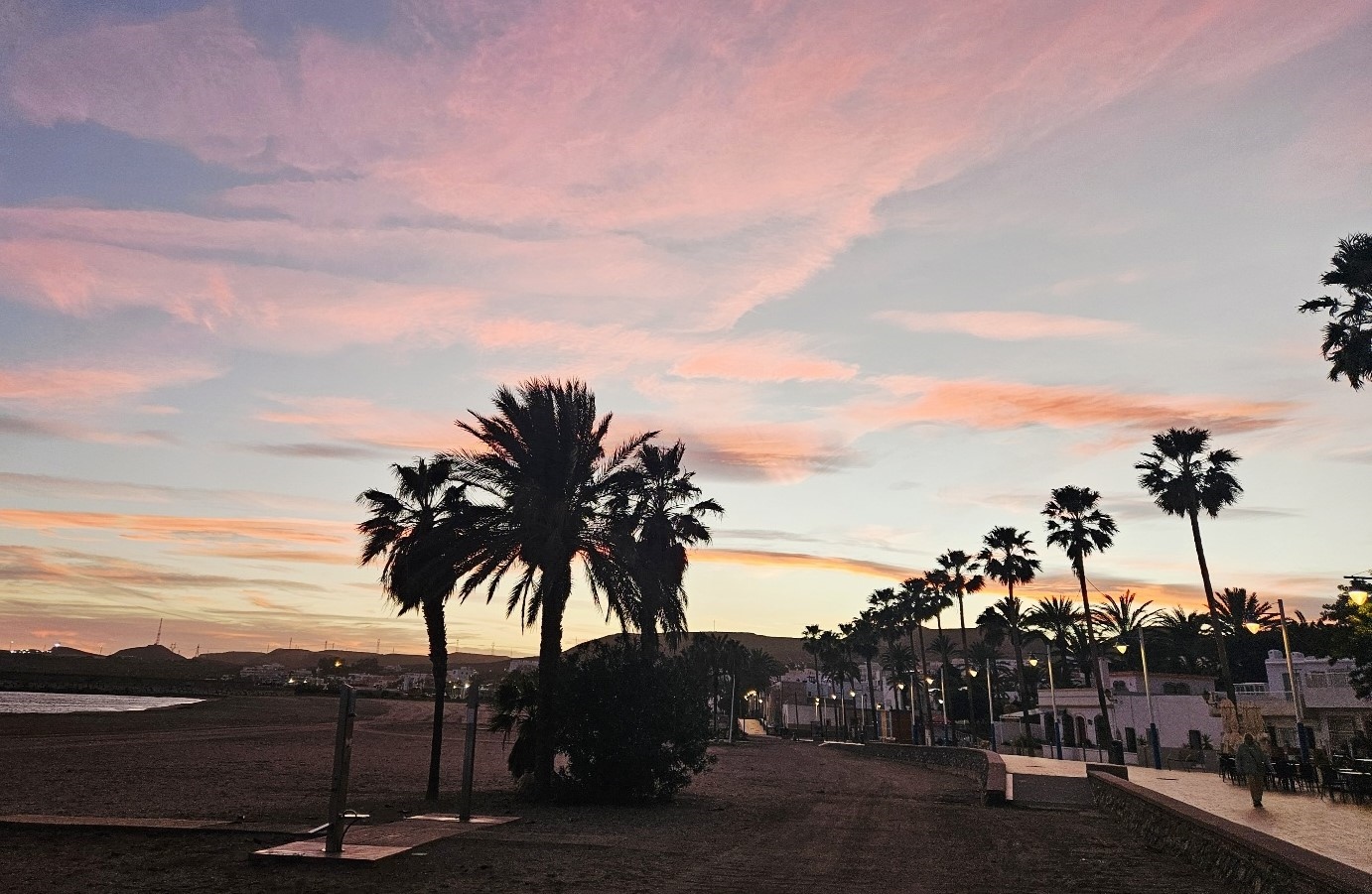
The path enters the town on the coast and from here you will be looking out for your hotel (probably with the aid of Google Maps).
As luck would have it, I reached Carboneras just in time for a late lunch; a wonderful salad and then one of my favourites, ‘boquerones fritos’ (fried anchovies).
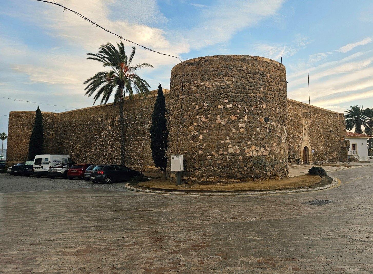
I stayed at Hotel Donde Caparrós, which I reserved through booking.com
It’s a very pleasant spot on the coast, where I had my lunch in their restaurant next to the beach.
The first time that I visited Carboneras I wasn’t very impressed with the place. However, this time round I enjoyed it much more.
After a night in Mojácar Playa, I felt like I was back in ‘real Spain’; an attractive working town by the sea.
Recent Comments