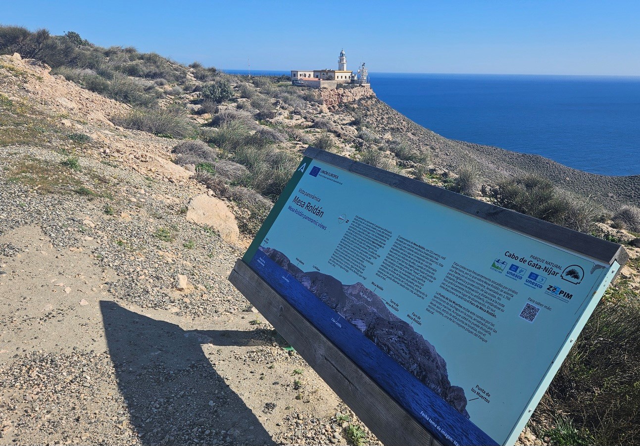
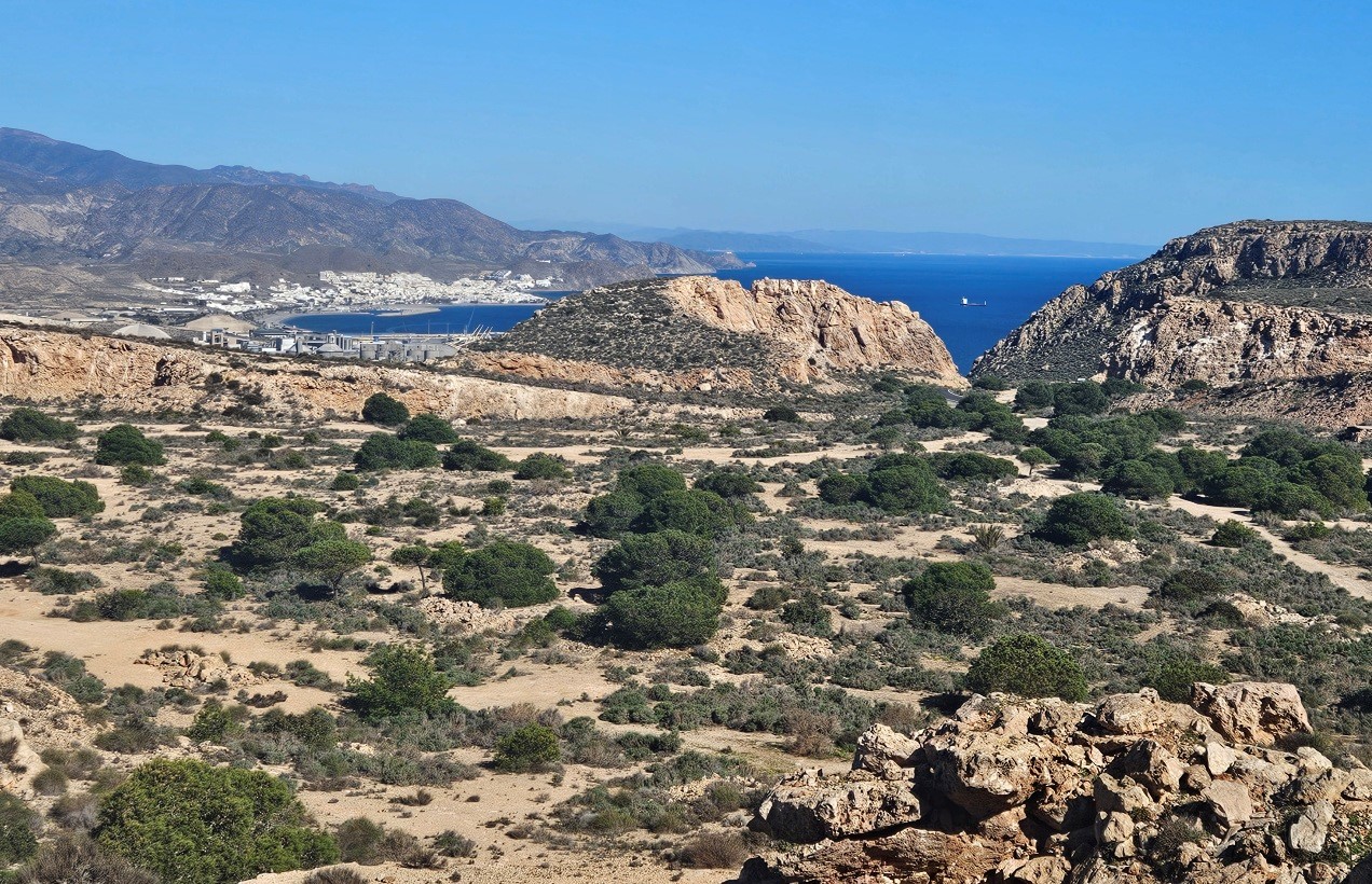
Continuing up the Mesa Roldán path, more magnificent views await from the watchtower at the top.
On the far side (north) of the tower we can see a large flat-ish area which looks like a volcano crater. However, it’s actually an old mine.
An information board explains that although the base of the Mesa Roldán is ‘of volcanic origin’ the top of the mountain is an ancient corral reef. In between is a layer of limestone.
The corral formed ‘under the sea around six million years ago when the climate was tropical’ and water covered the top of the mountain.
Blocks of stone were removed from this area by miners to construct the port of Carboneras.
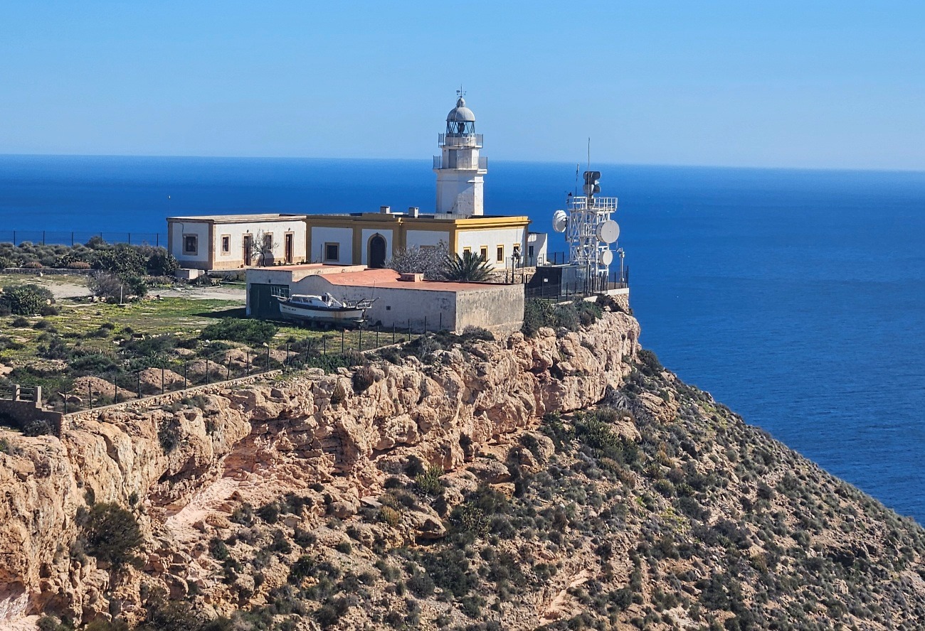
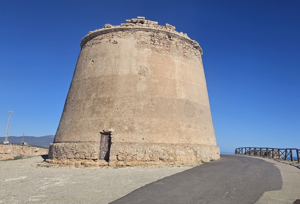
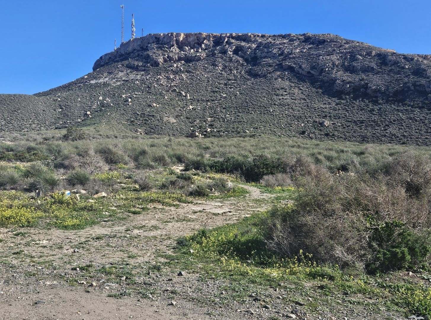
The tower was built in 1766 ‘to watch over and protect the coast’. The lighthouse, which is further out on the promontory, is still in use.
After a look round the top of the ‘table’ (mesa), it’s back down the track to the sign seen earlier.
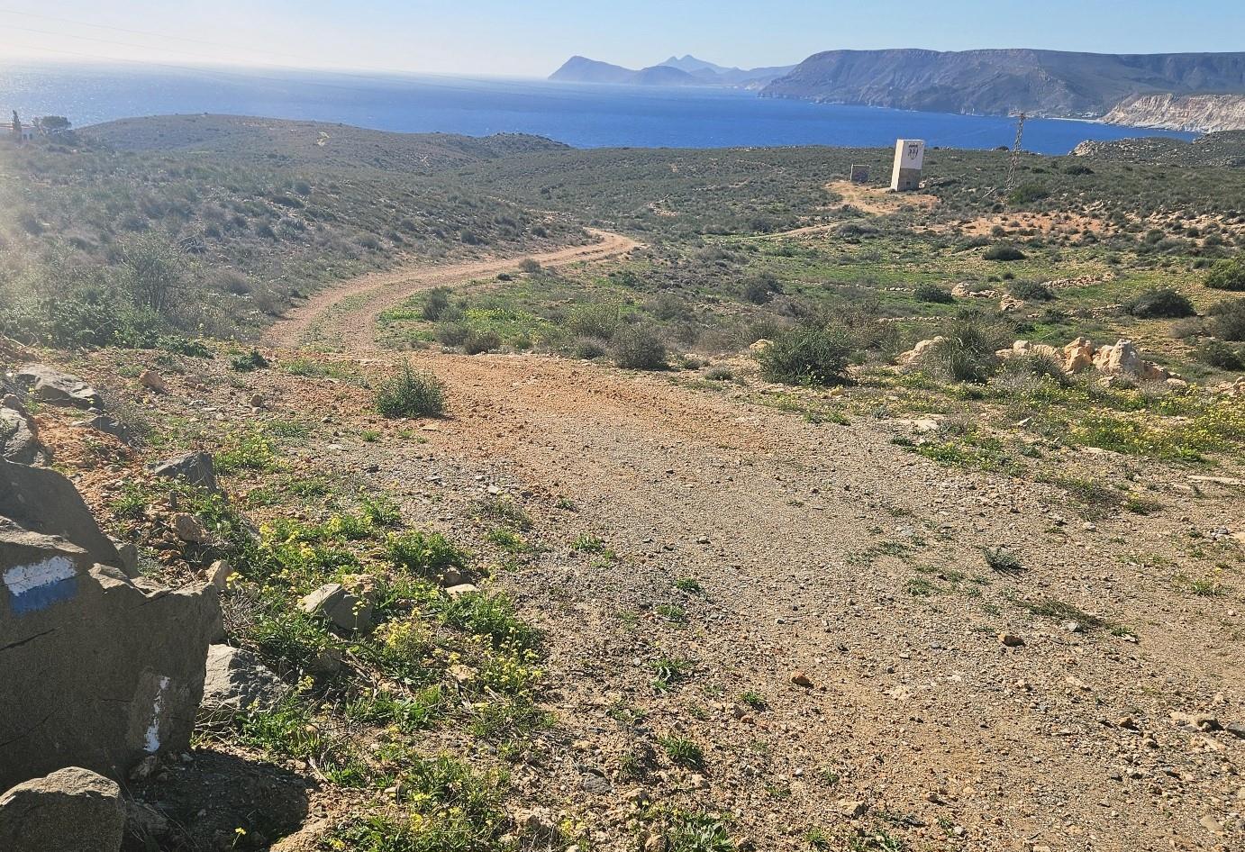
Reaching the sign, turn left for Vía Verde Lucainena, heading down the steep-ish path which leads away from the Mesa Roldán. There are loose stones so take care.
Emerge at a wide track next to the wall at the bottom and bear left (anyone who wants to avoid the next section can turn right and walk to the road, then turn left to walk along the road to Agua Amarga).
Following the pilgrim trail, we walk along the track for around 70 metres and turn right onto a minor track, following the waymarks.
The track passes on the left-hand side of the brick electricity tower.
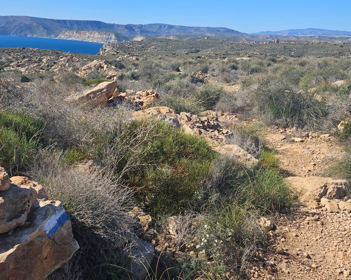
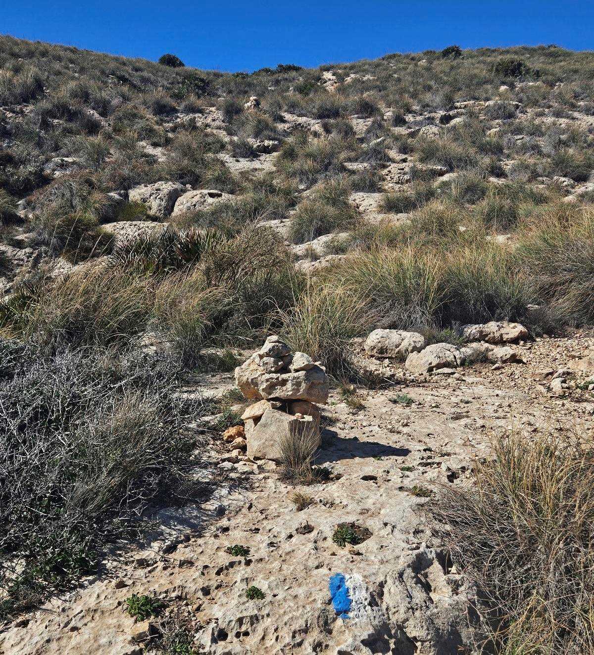
Our route is moving across an area of Mediterranean scrub, following waymarks and cairns.
Keep a close eye open for the waymarks. If you haven’t seen one for a while you may have taken the wrong path.
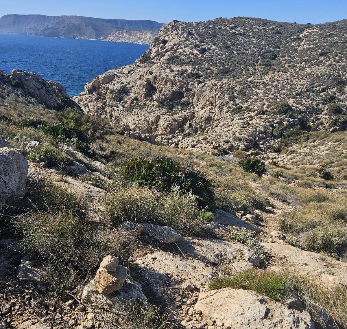
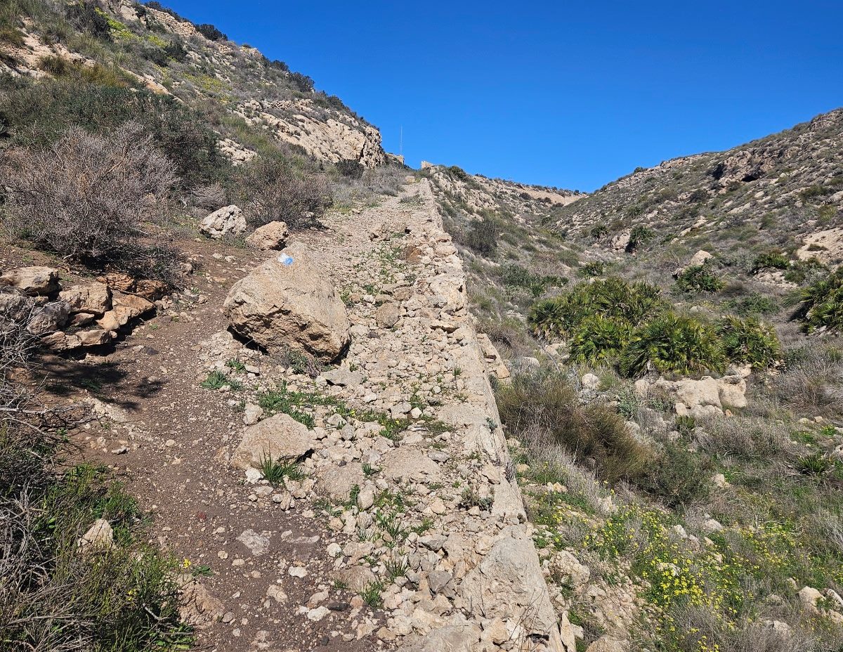
The pilgrim trail is crossing on a diagonal, heading towards the sea.
Soon it’s running parallel to the coast. There are a several shallow ravines to cross.
This is a slightly tricky section; care has to be taken due to loose stones which can cause you to slip (as I did).
After emerging from the first ravine it becomes easier.
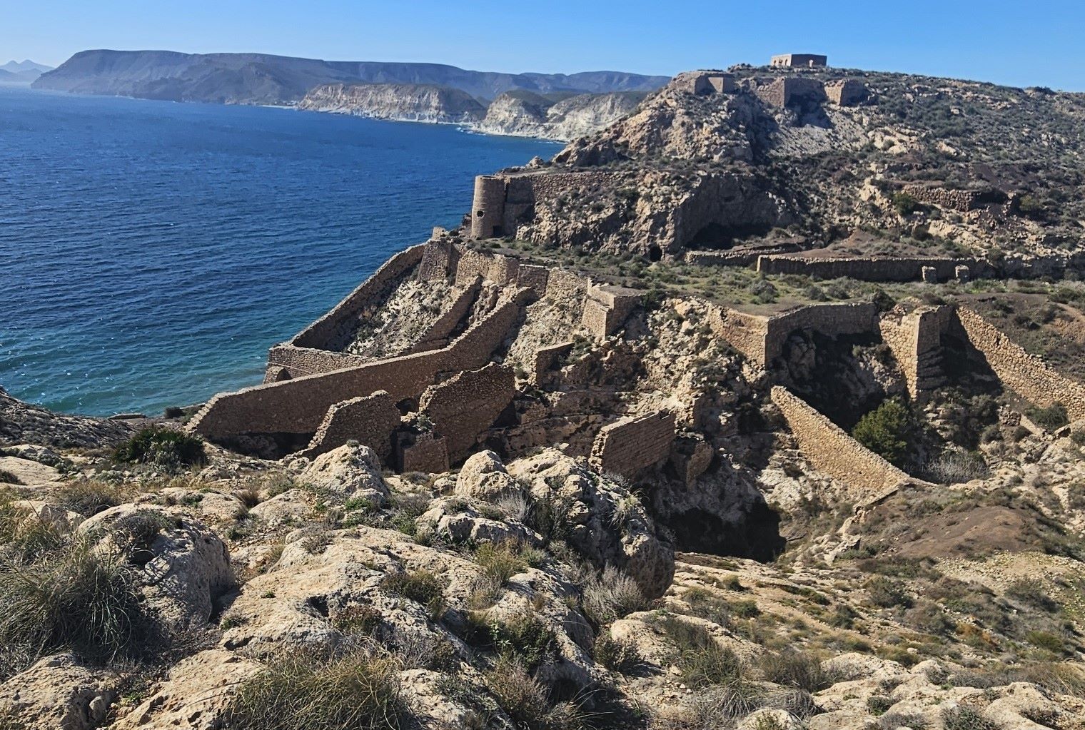
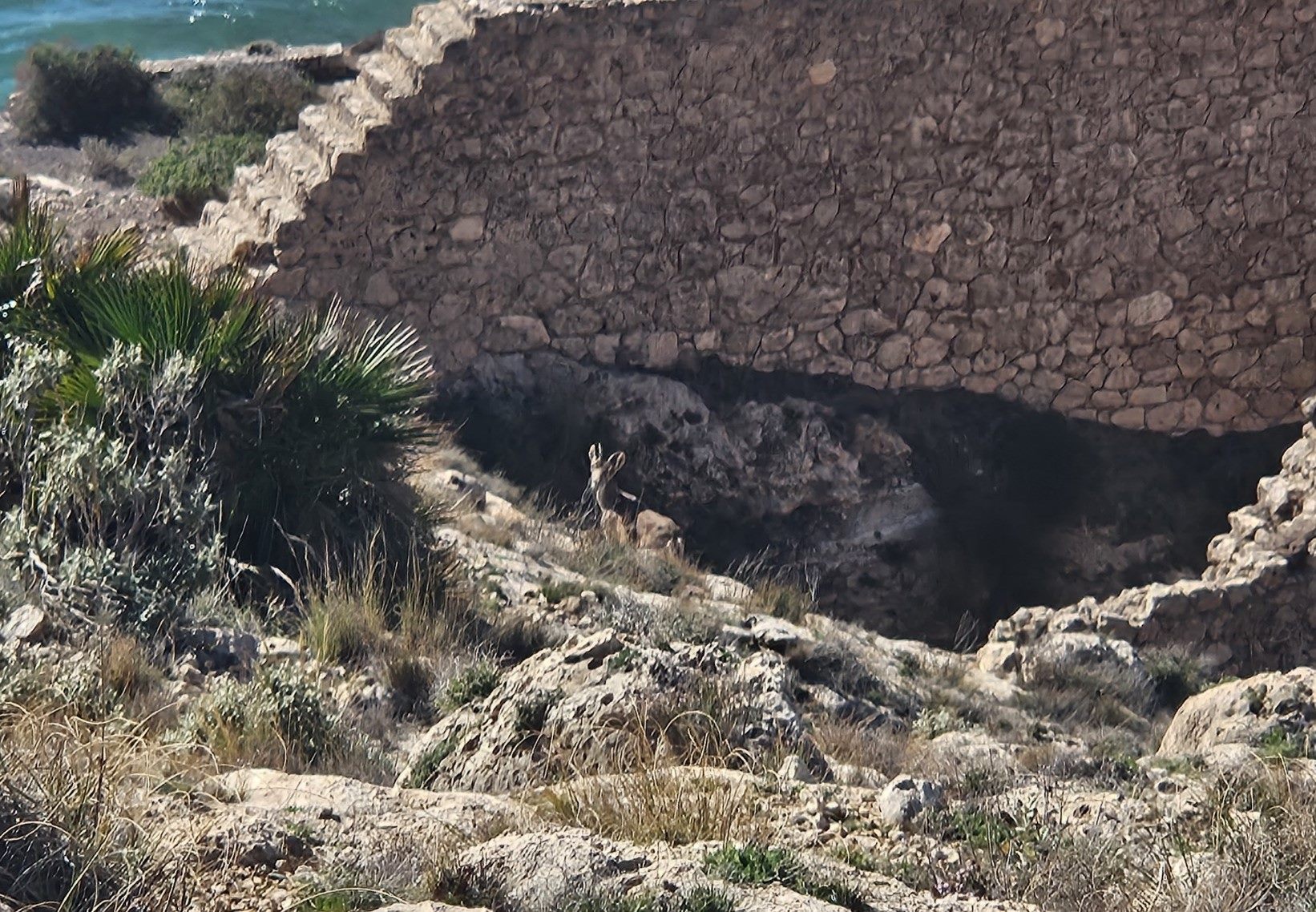
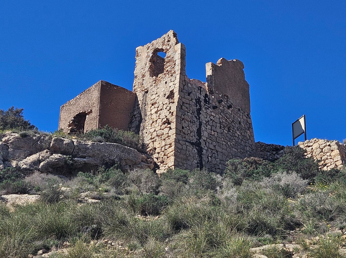
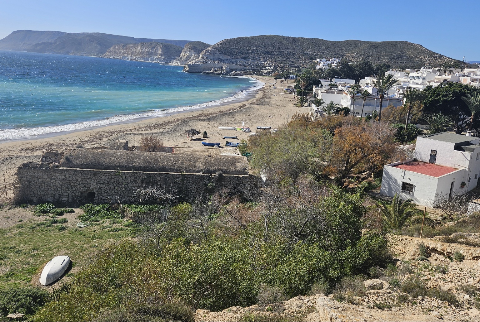
We reach a point where we can see what appear to be ancient fortifications on the coast. The route drops down to the walls. Again, care has to be taken.
The constructed area is in fact a dock and harbour that was built at the end of the 1800s to load mining deposits onto ships.
Following the waymarks we reach the floor of a ravine, just to the right of the walls. Climb up the other side and bear right to ascend the side of the ravine.
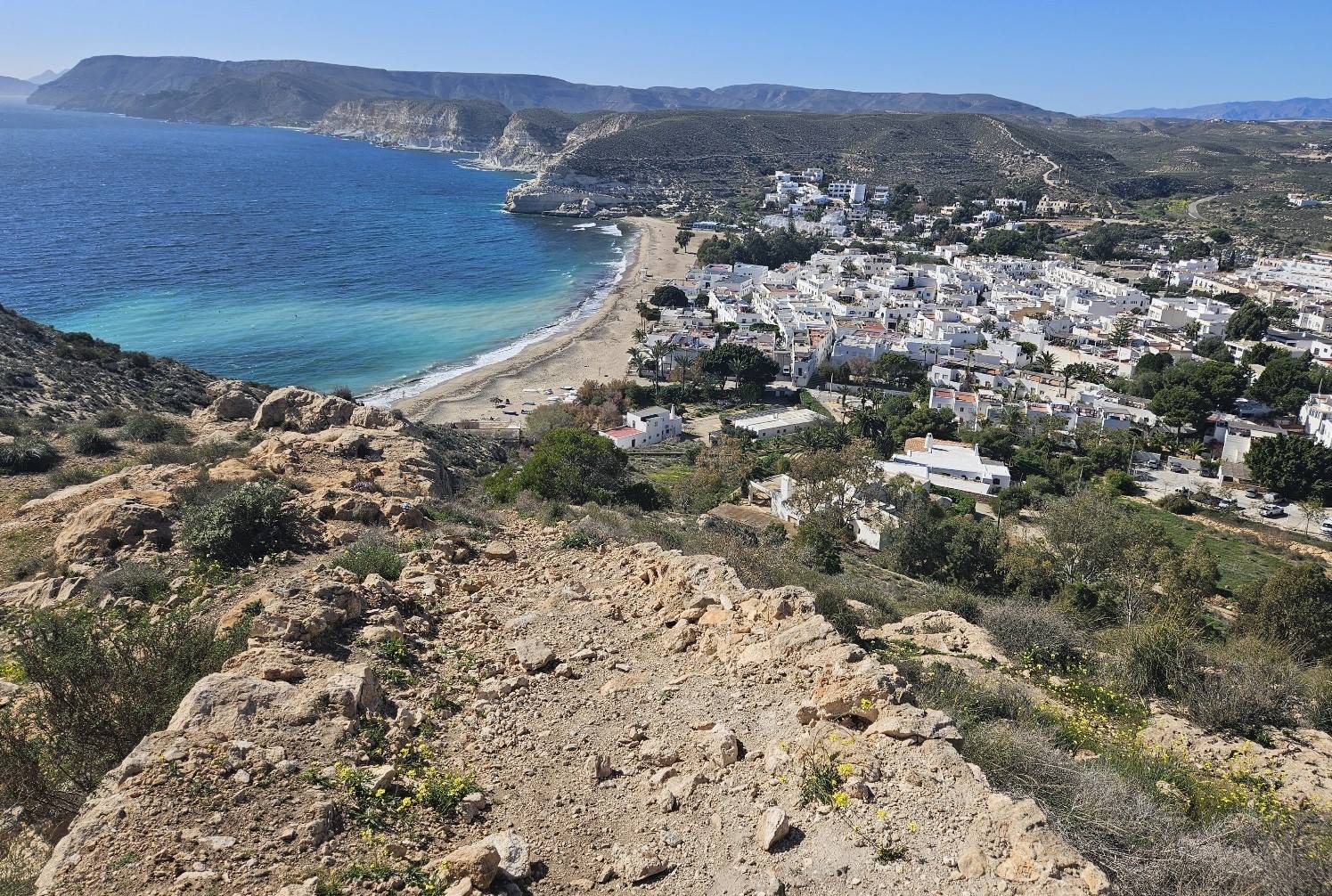
There is a tower above on our left as we ascend. At the top, pass through the walls and turn sharp left to enter the upper section of the complex and see our first close-up view of Agua Amarga below.
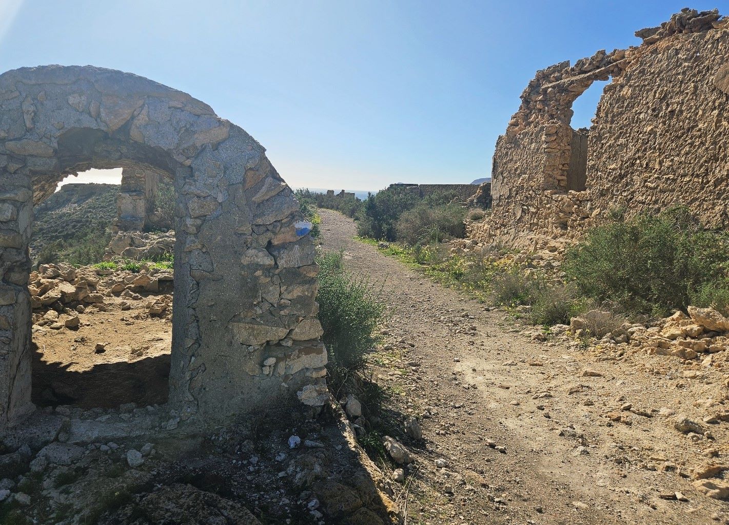
Passing through the old ruined buildings, an information board explains the history of this abandoned zone and the dock construction.
Following the waymarks, look out for the right turn which comes immediately after the last of the tumbledown structures.
This is the path down to Agua Amarga. It’s quite a steep descent to the village and care has to be taken on a path which is full of loose stones.
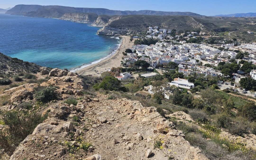
The path emerges at the lovely whitewashed buildings of Agua Amarga. It’s a village that is very tranquil and relaxing out of season.
Over the years I have stayed on many occasions at the Hotel Family. They do one of the best breakfasts I’ve ever had and it’s worth taking your time to savour it.
Direct reservations are cheaper than booking.com. Their email is familyaguamarga@gmail.com
They speak Spanish, English and French. There are other options available in Agua Amarga which can be viewed via booking.com
The final part of the day 2 walk, which comes after descending from the Mesa Roldán, is a very interesting section, but one that has to be treated with caution. I slipped twice; one of these was a spectacular legs-up-in-the air affair, which fortunately did not cause any damage, only minor scratches.
Recent Comments