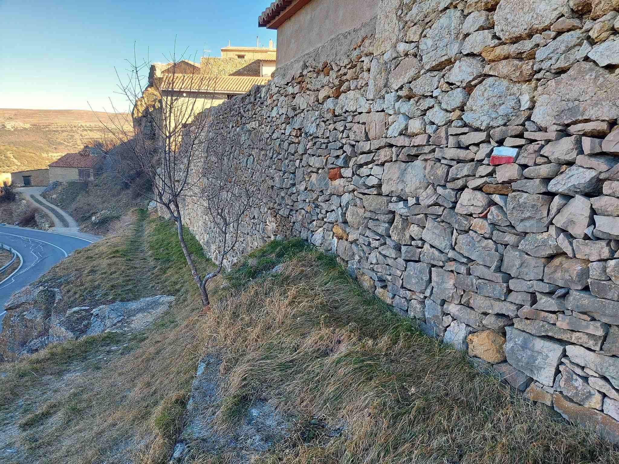
The GR-8 leaves Cantavieja on the western side of the Old Town. To get on the footpath, walk up the Calle Mayor, passing the tourist office. Go as far as Calle Calvo Sotelo, just before the porticoed square, and turn left to head down to the town walls.
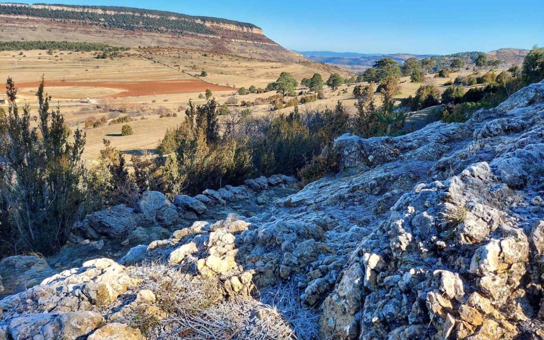
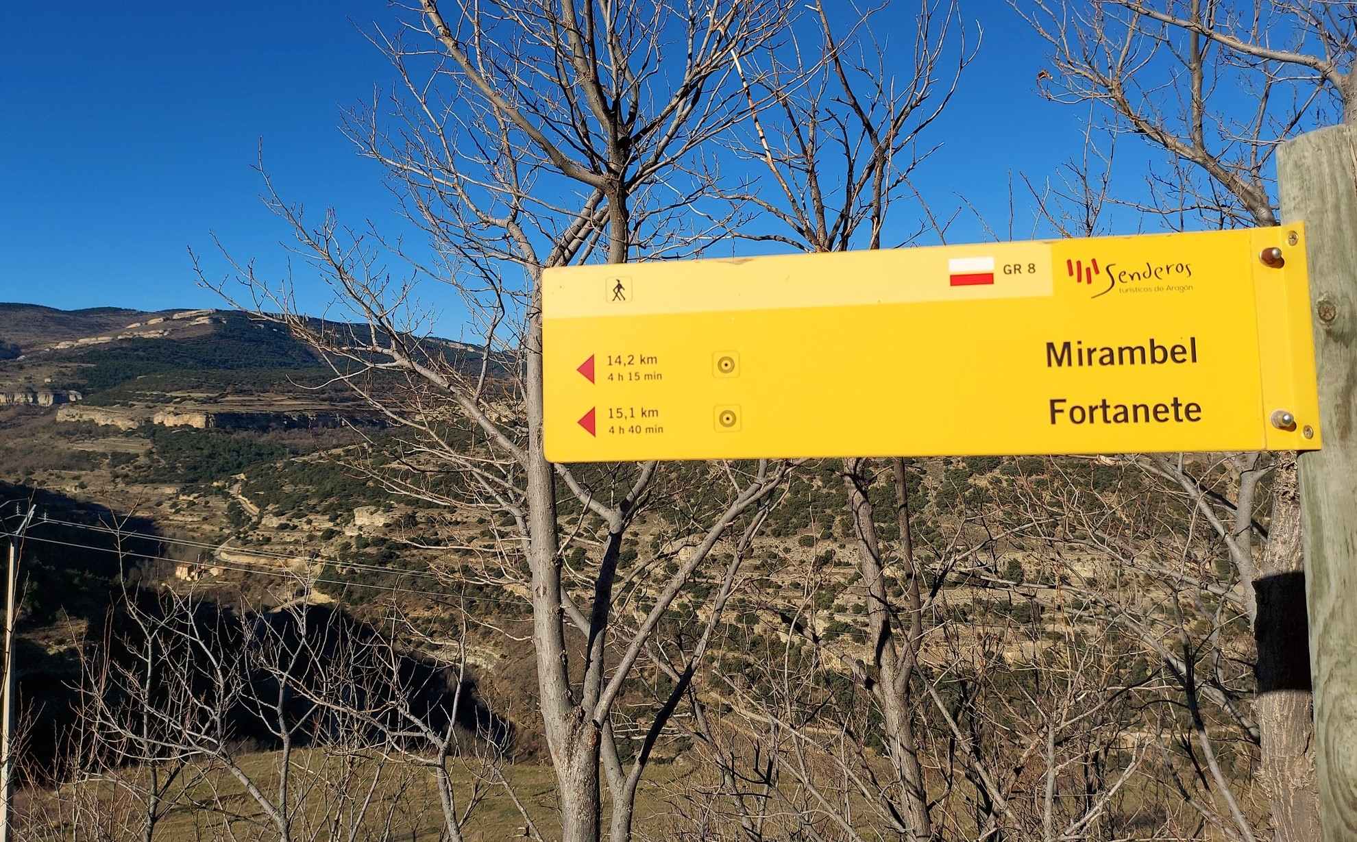
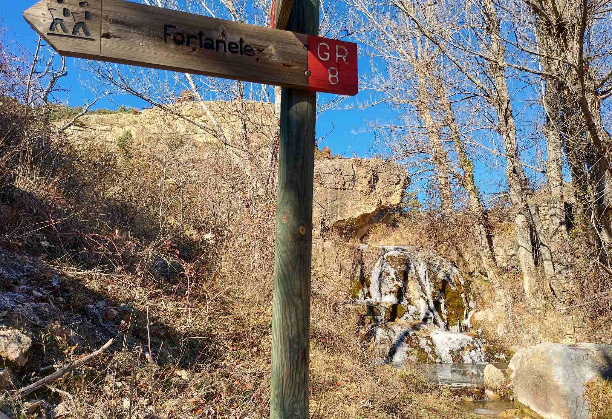
Spot the white/red waymarks which lead out of the walled town. The path bears right to run alongside the defence wall and down to the road. Walk down the road for around 20 metres and turn left where the GR sign points for Fortanete. Now on the footpath, at the next sign keep straight on for Fortanete. The path follows an old stone wall, descending and moving across the slope. There are good views back to Cantavieja above, perched on its limestone rocks.
The path begins a steeper descent. Walkers should be aware that if they are doing this route during very cold weather, there may be water running down the path which can freeze. In January, I had to manoeuvre and slide down a 10-metre stretch on my backside – the only way to do it without crampons. Strangely, coming back up this stretch was easier, embracing the margins.
The path leads down to a stream. It is easy to cross and there is a small, attractive waterfall on the other side, which was partially frozen in January.
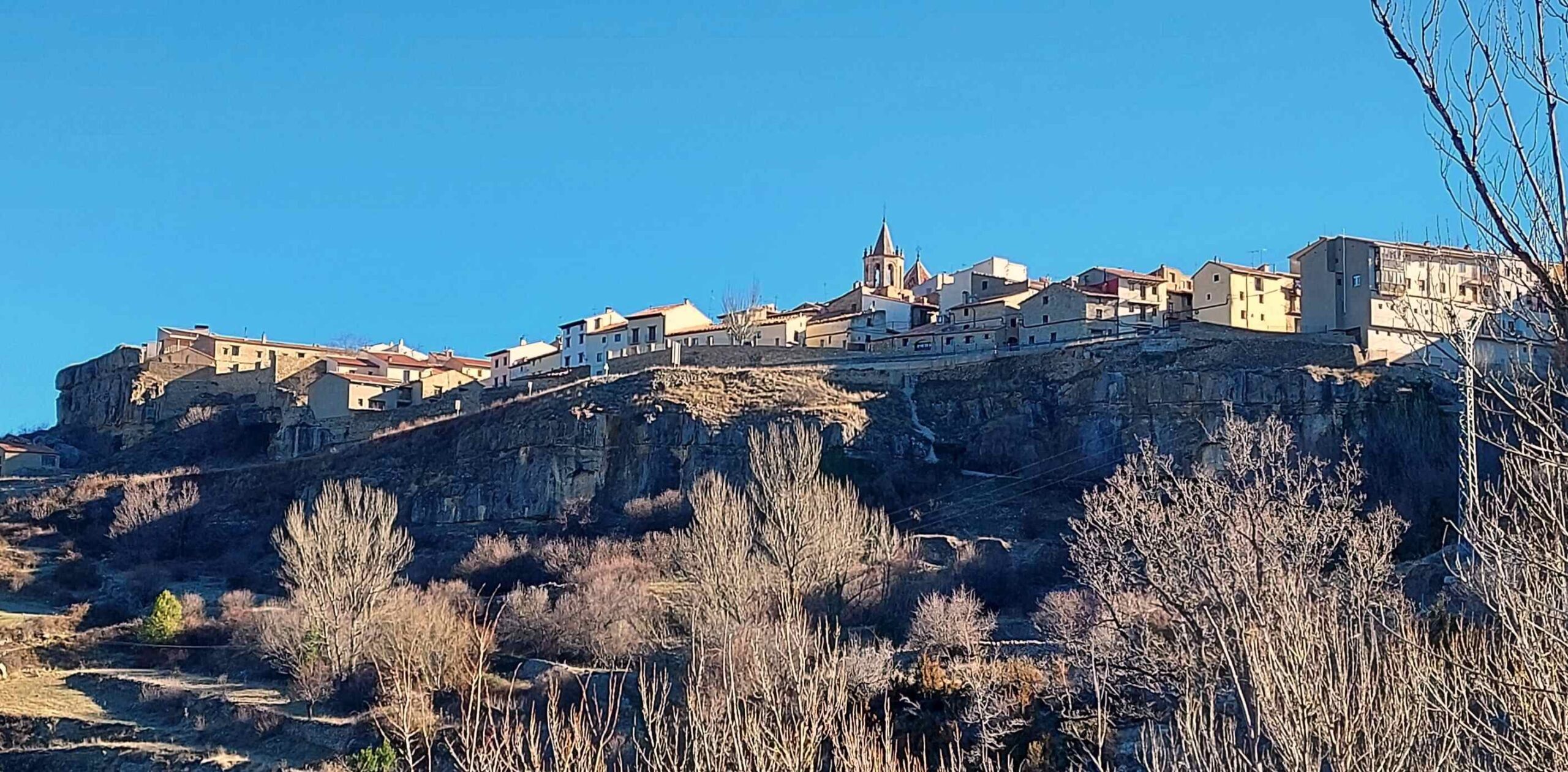
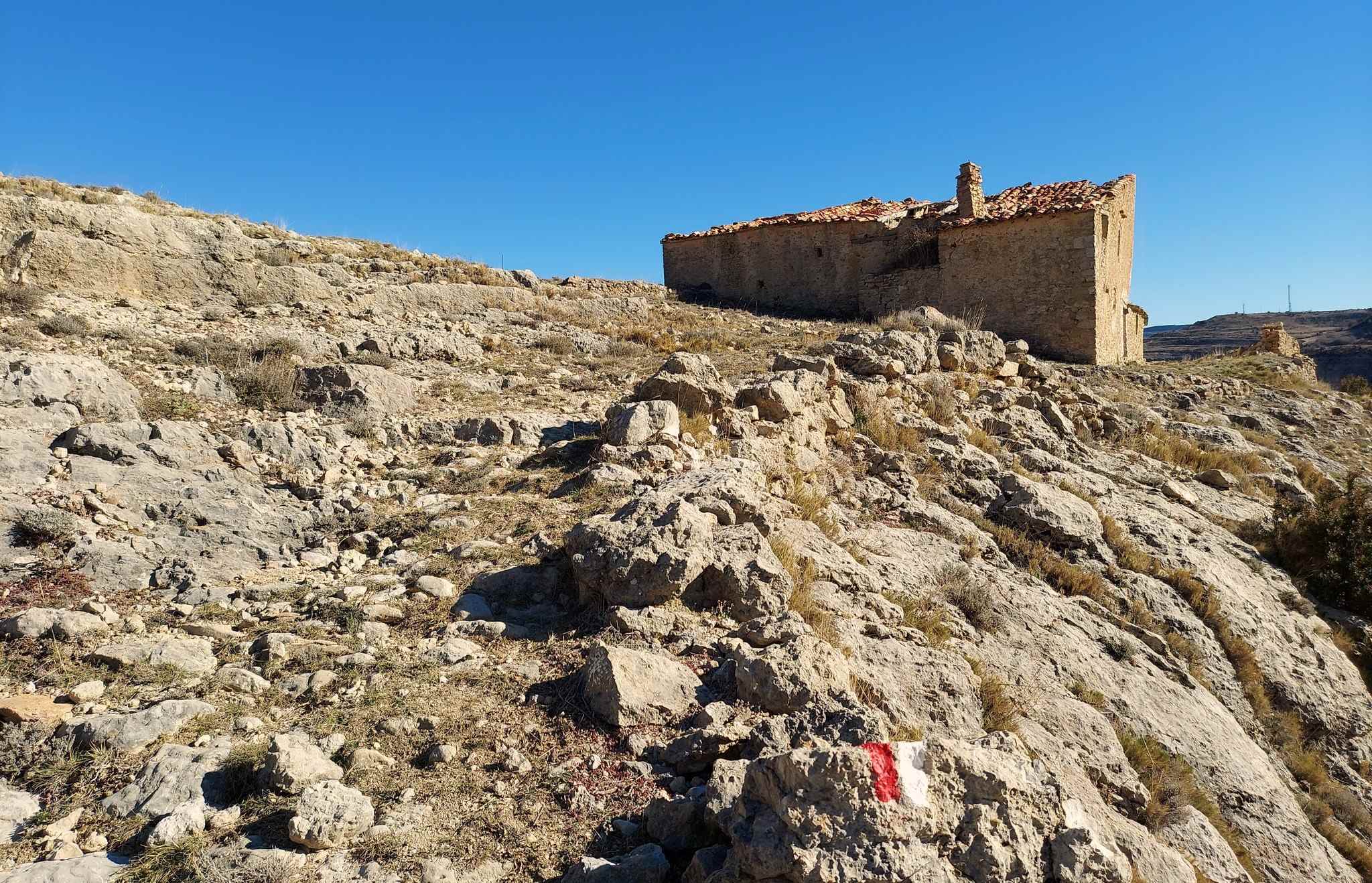
Following the sign, turn left. Start the ascent on the rocky ground. The path meanders its way up the hill to reach an abandoned farmstead, the Masía El Morrón (named after the hill it stands on), where there is a good view back to Cantavieja.
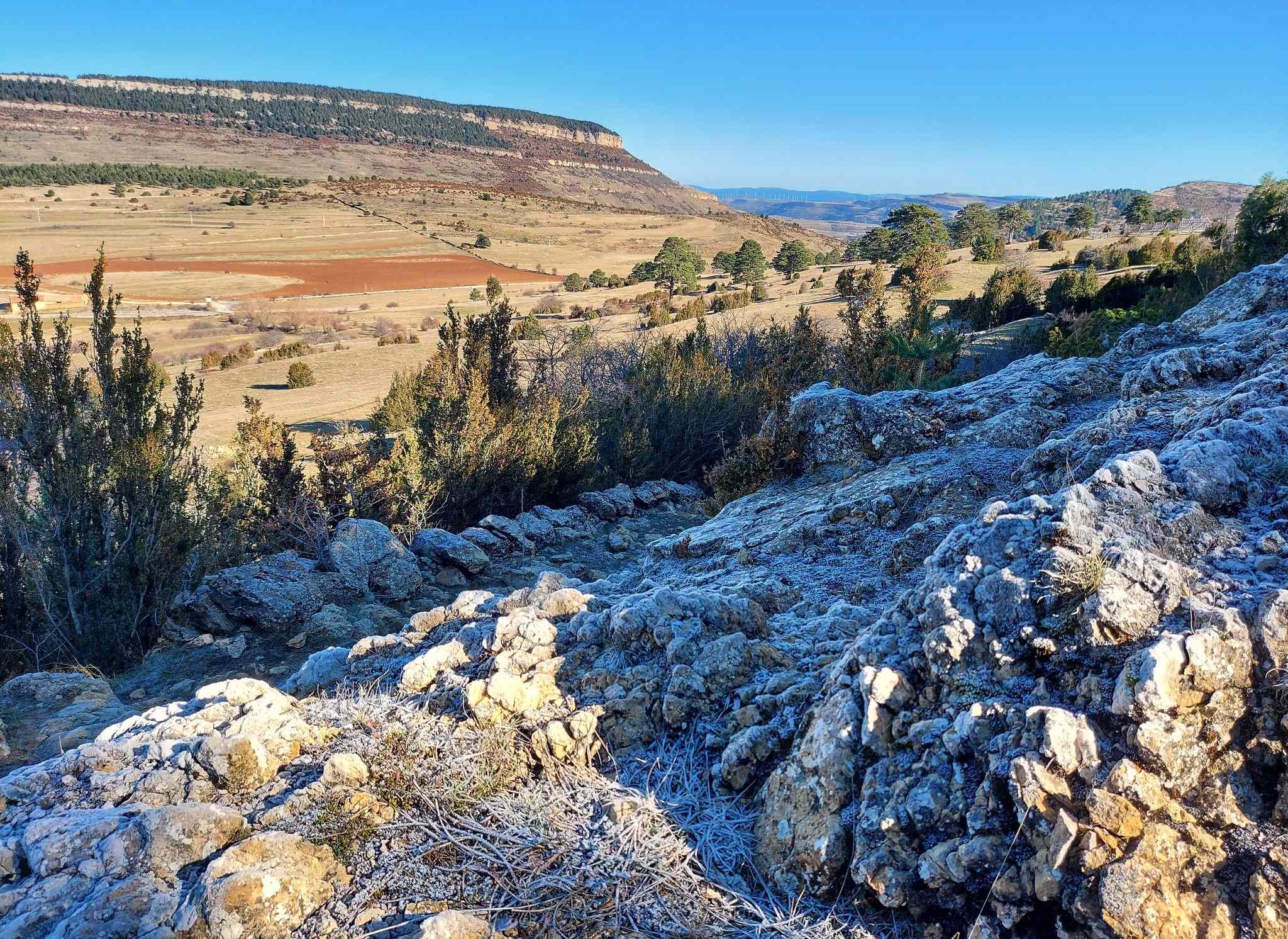
Bear left to continue ascending. Now there is a fairly flat stretch, first on a grassy section next to a field and then on a track. At this stage take good note of any junctions, as you will be returning the same way and it is easy to miss some of the turn-offs coming back.
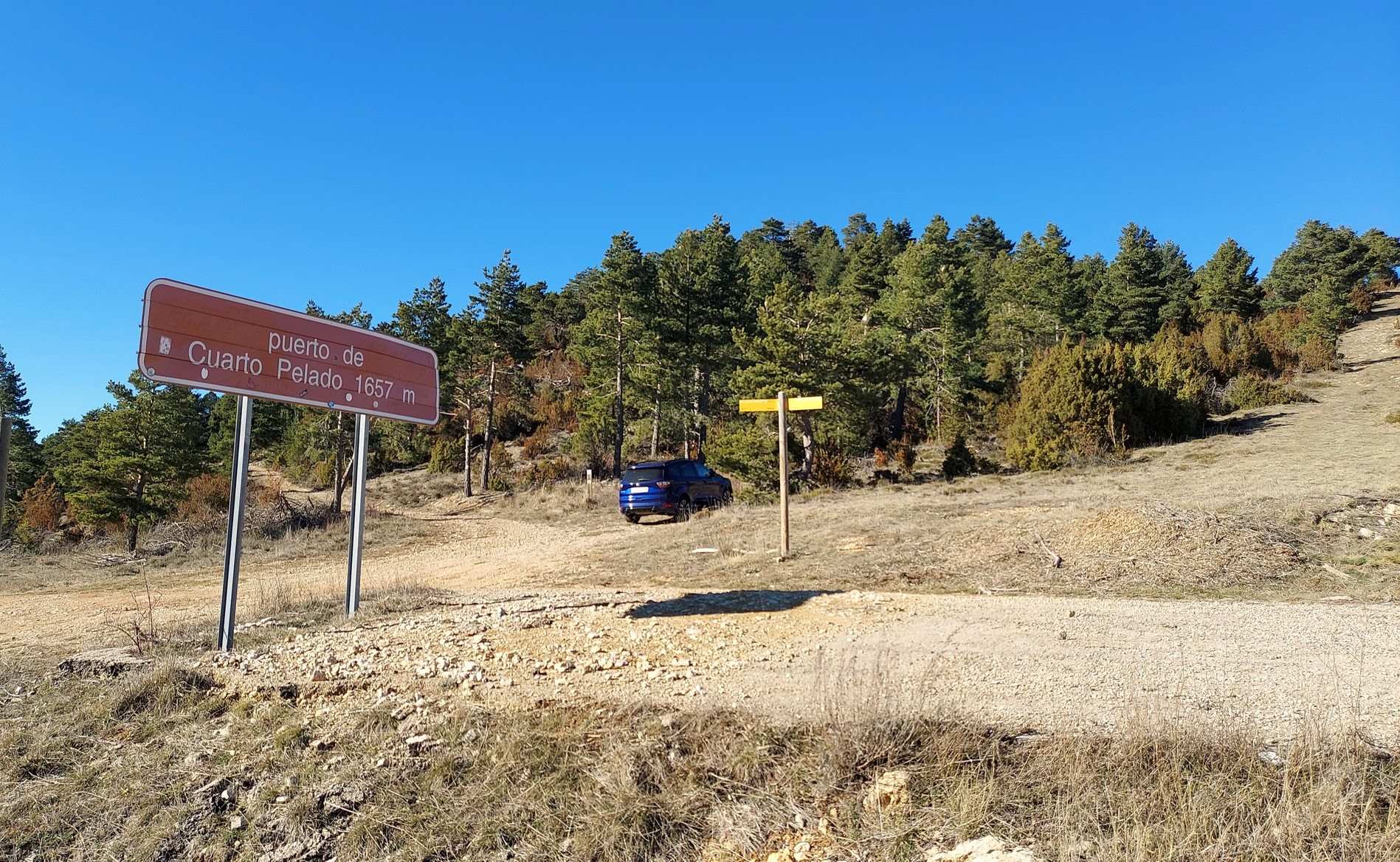
Arrive at the surfaced track at the Mas del Hostaleje farmstead. Bear left. The track runs up past the Cuarto Pelado farm, then crosses a road to start the final grassy ascent to the pass, the Puerto de Cuarto Pelado at 1,657 metres.
The pass is just off the Fortanete to Cantavieja road but it’s a pleasant spot for a bite to eat and to admire the views.
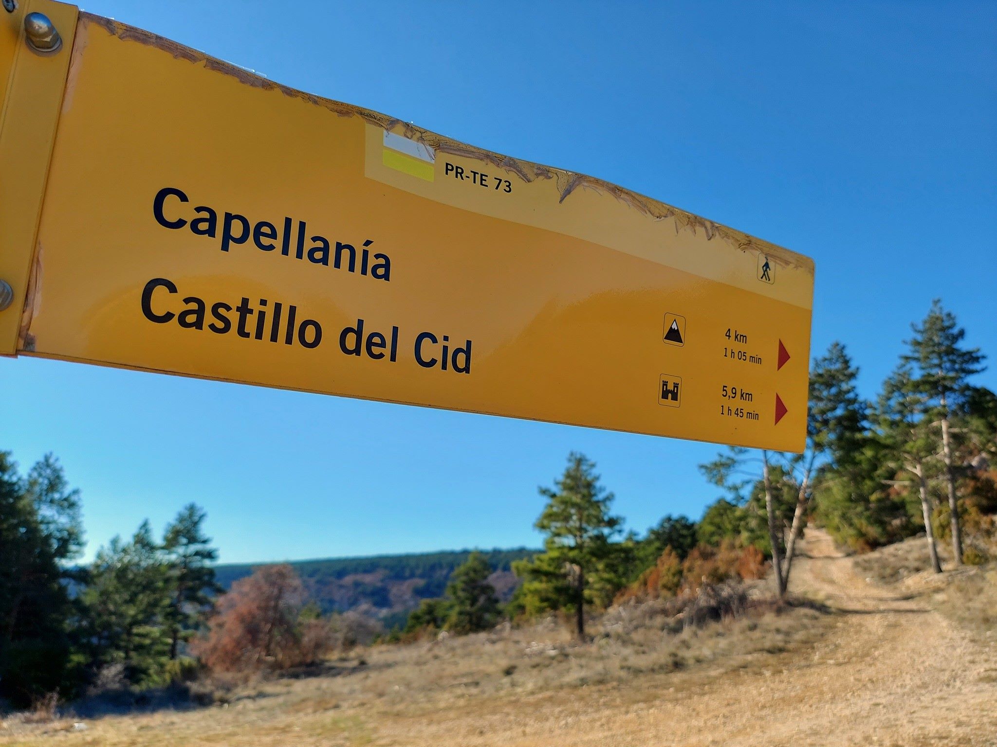
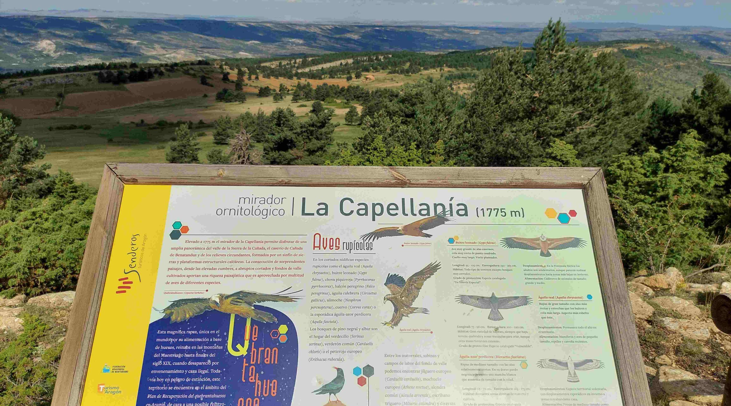
Those who have the legs will continue on the PR-TE 73 to reach the summit of Capellanía mountain (1,777m), which is 4km away. Return by the same route. Take care not to miss the turn-offs. The route is well waymarked, so if you stop seeing the white/reds then you’ll know you have erred and it is time to retrace your steps.
It is 9.4km up to the Puerto de Cuarto Pelado pass – one way. A handy interactive map for the route can be found at https://senderosturisticos.turismodearagon.com/senderos/gr8
Find this stage under ‘etapas’ (stages) at Etapa 10: Cantavieja – Fortanete

Recent Comments