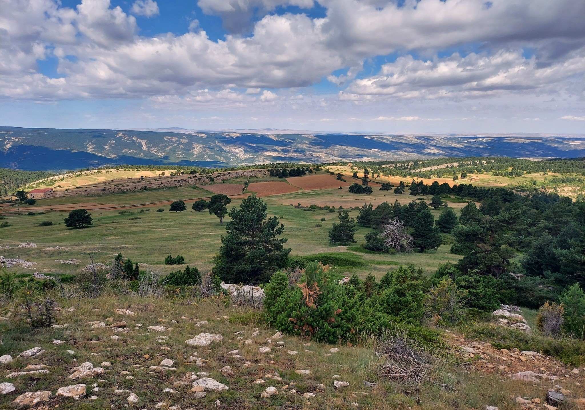
The walk to the top of Capellanía at 1,775 metres is an enjoyable and varied ascent. And, with the village of Fortanete standing at 1,350 metres above sea level, you won’t have to put in an enormous amount of effort to reach the summit of what is, all said and done, quite a high mountain. Predictably, the views from up top are captivating.
Most of the walk is done on an offshoot of the GR-8 long distance footpath, the GR-8.1. Fortunately there is an interactive map available via the webpage https://senderosturisticos.turismodearagon.com/senderos/gr8
We can see the GR-8 stages – ‘etapas’ in Spanish. And towards the bottom we have the ‘variants’ and the one we want for this walk is GR 8.1 – Etapa 08: Cañada de Benatanduz – Fortanete. It is possible to access the map and see any section in greater detail.
There is quite a lot of shade on the walk, which means that it could be undertaken in the summer (but not on a day of intense heat), with an early start essential when the air is fresh and fragrant. A point which needs to be made is that there is a chance of seeing wild boar in the forest on the route up (or down). If you are in a group and making noise, then it’s likely that the boar will take off before you are aware of its presence. But if you are walking alone then the boar may not hear or smell your approach until you are relatively close. Normally they will run away as soon as they sense your arrival, although the sound of the animal crashing through the trees may come as quite a shock. Boars flee from human presence and generally will only make a stand if they are cornered, injured or feel threatened. Singing in the woods is not a bad idea if you want to make sure the boars know you are coming. However, this can also drive away other species, such as deer or ibex which you may want to see. Your choice. Up top, if you are lucky, you may spot griffon vultures.
If you want to do the Capellanía ascent quickly due to heat which comes after midday, then you could probably get it done in four hours if you are fit. Although it is better to allow between five and six hours for more leisurely contemplation of the beautiful scenery – and a rest and picnic under a shady tree at a high spot near the summit. The route is approximately 14km, with around 475 metres of height gain.
The walk
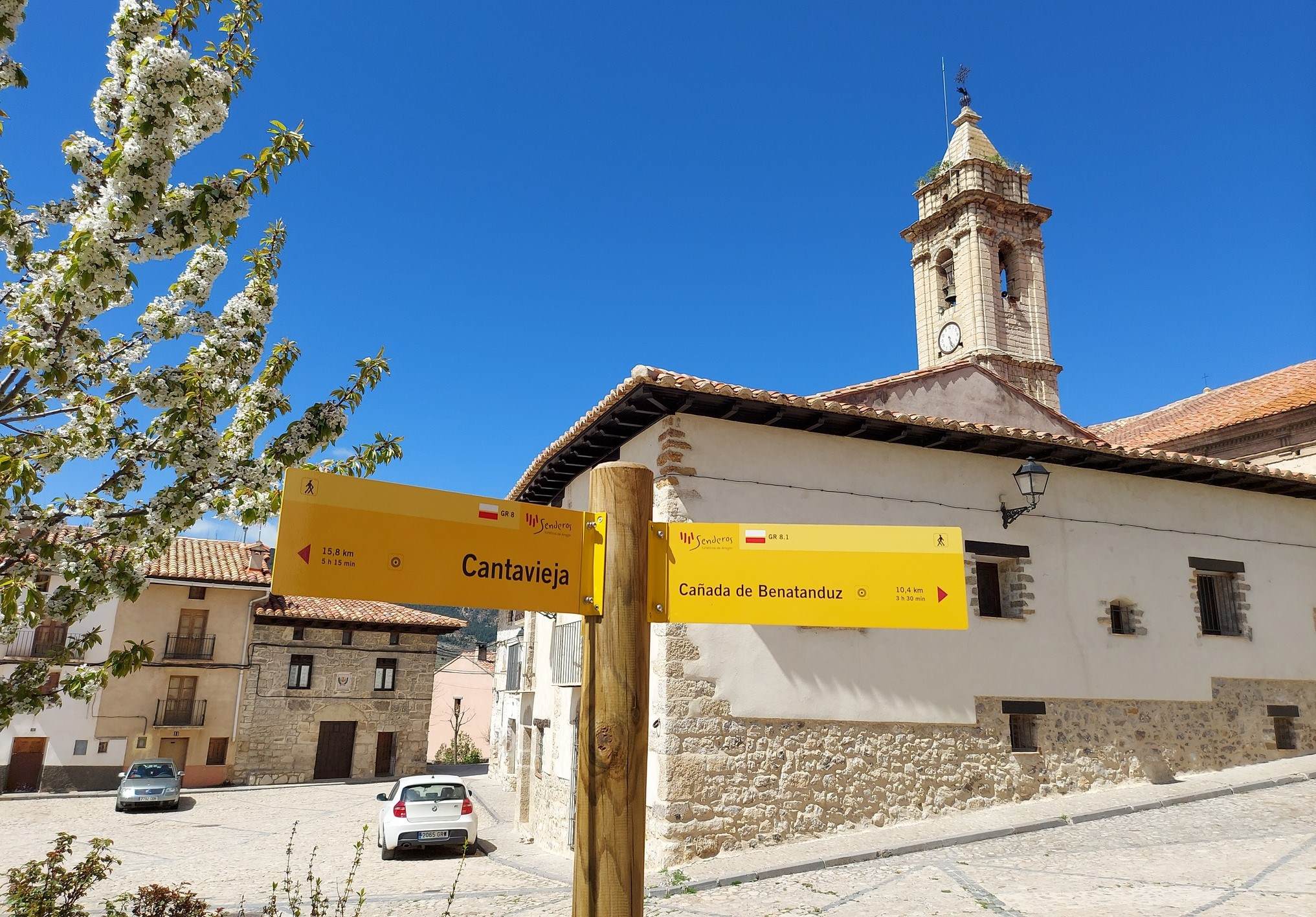
There is a GR walk sign for Cañada de Benatanduz in the square near the church in Fortanete. This is the start point for our ascent of Capellanía. Head out of Plaza de España on Calle San Antonio, hugging the wall of the historic town hall, to pass under the inhabited arch over the street, then out of the back of the village, where there is another GR footpath sign.
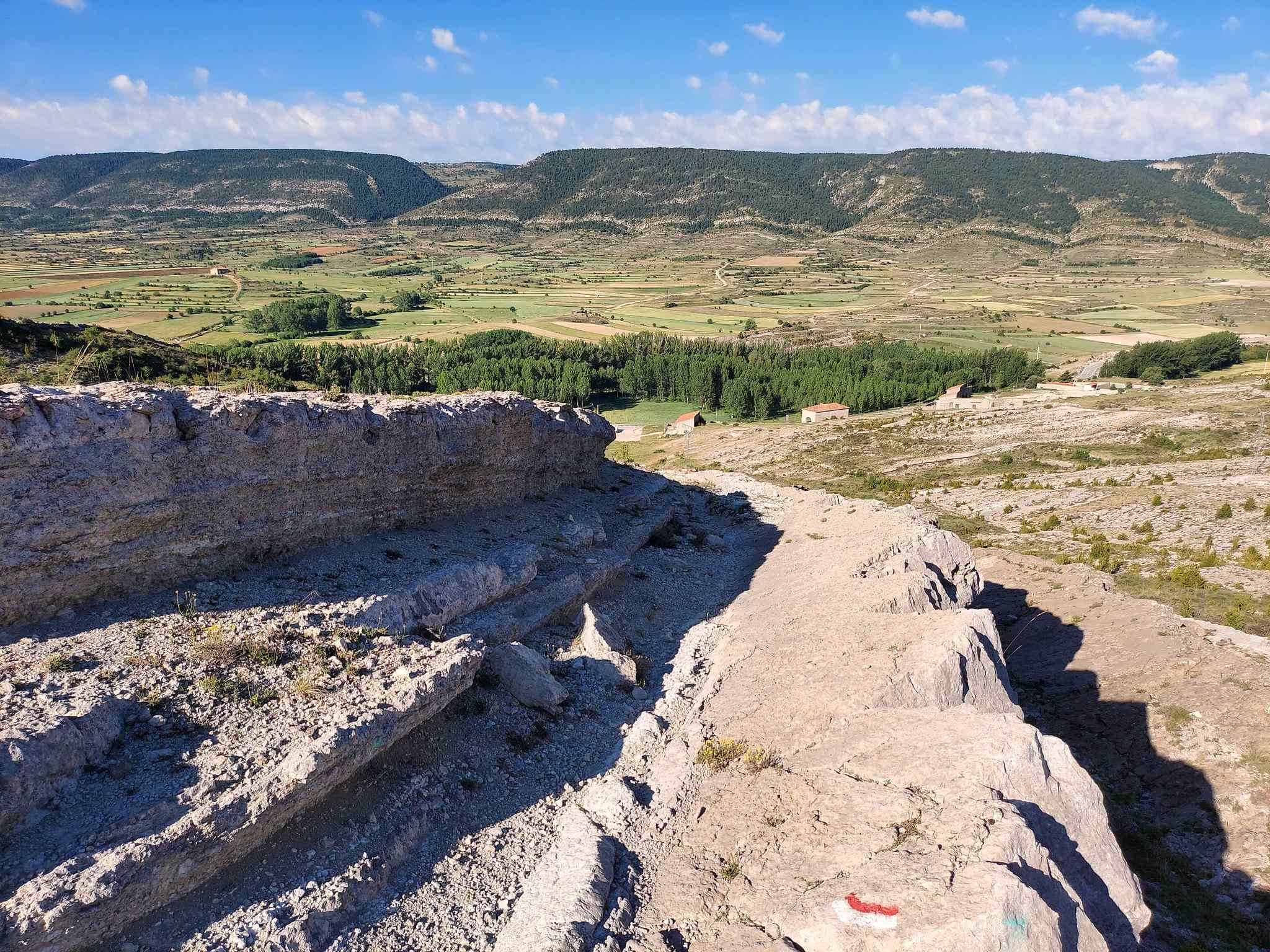
Asphalt turns into a path which runs along the side of a dry stone wall. It then moves onto a bare section, ascending through a low fissure of rock. Emerge at a hill with good views over Fortanete, its fertile valley and the ruins of its castle. The waymarked path is now running across the mountainside, where there are low trees and shrubs. The route heads into and across a shallow ravine, which is below the rounded summit of Frontón (1,663m).
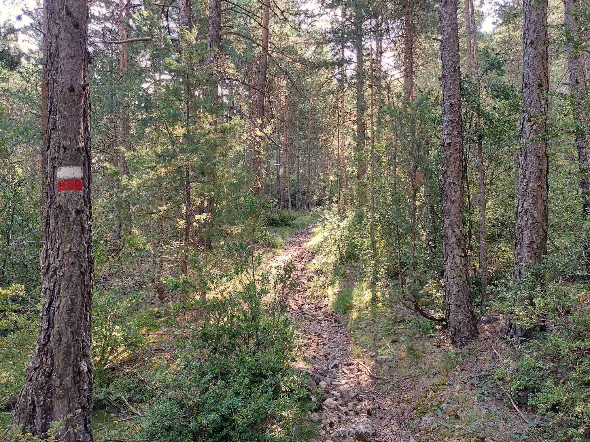
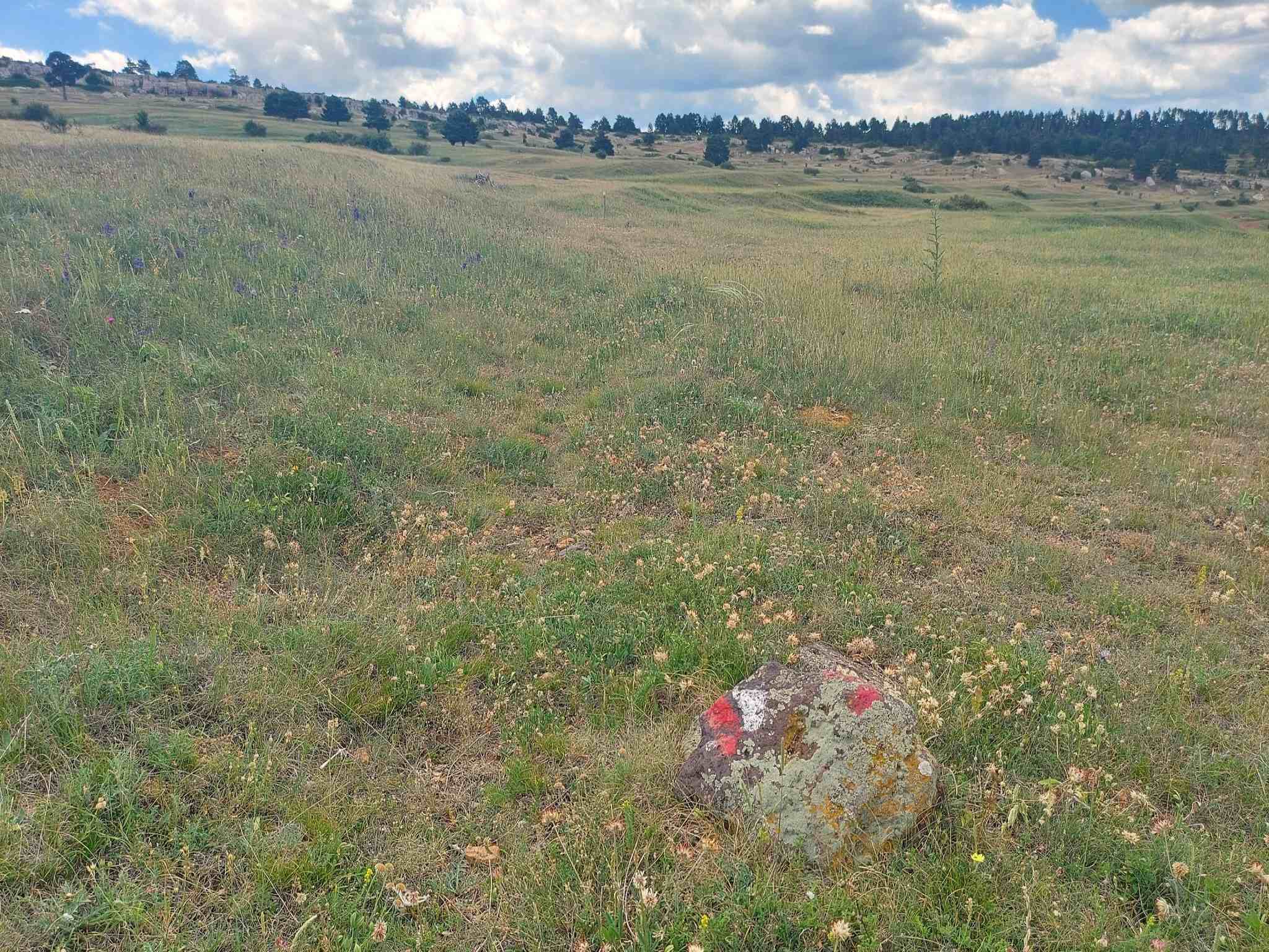
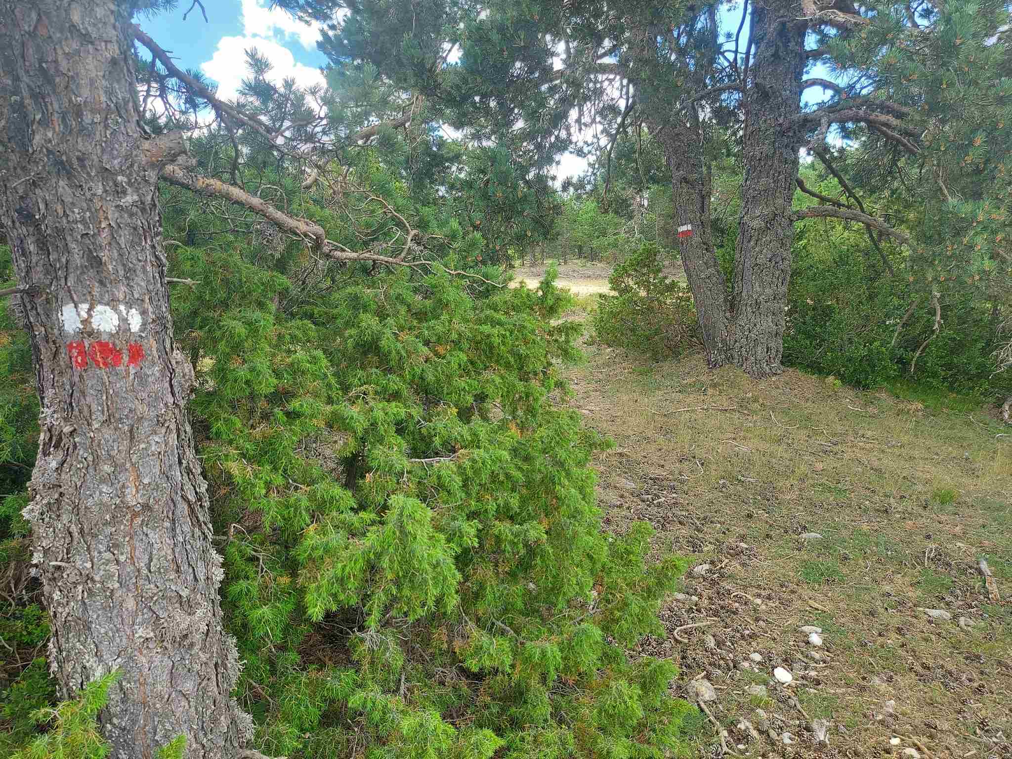
Soon the path enters the woods. Now there is quite a long, pleasant section through the tall pines. The path is clear and there are regular white/red waymarks on the pines. Be aware that you may see wild boar on this forested section.
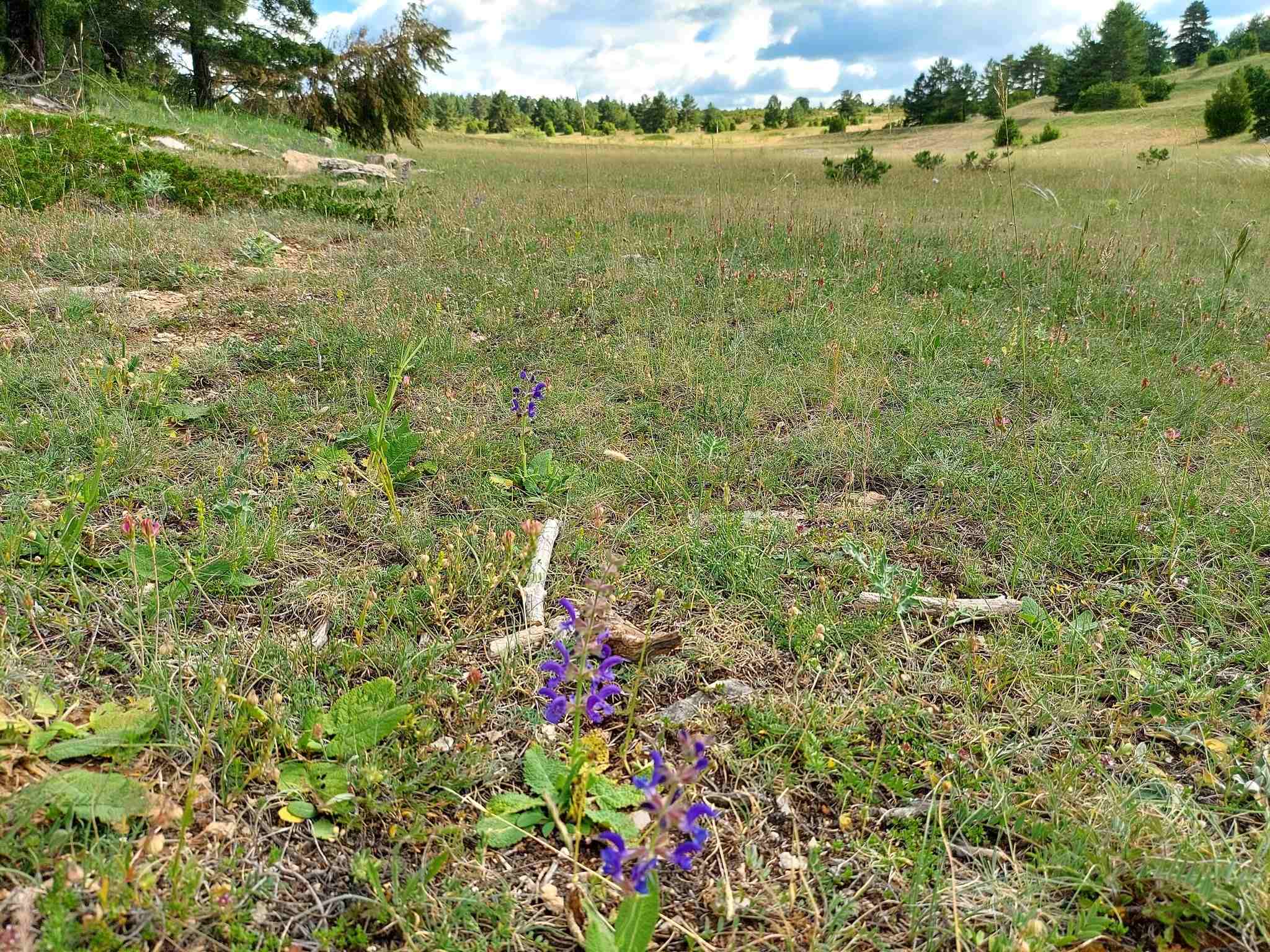
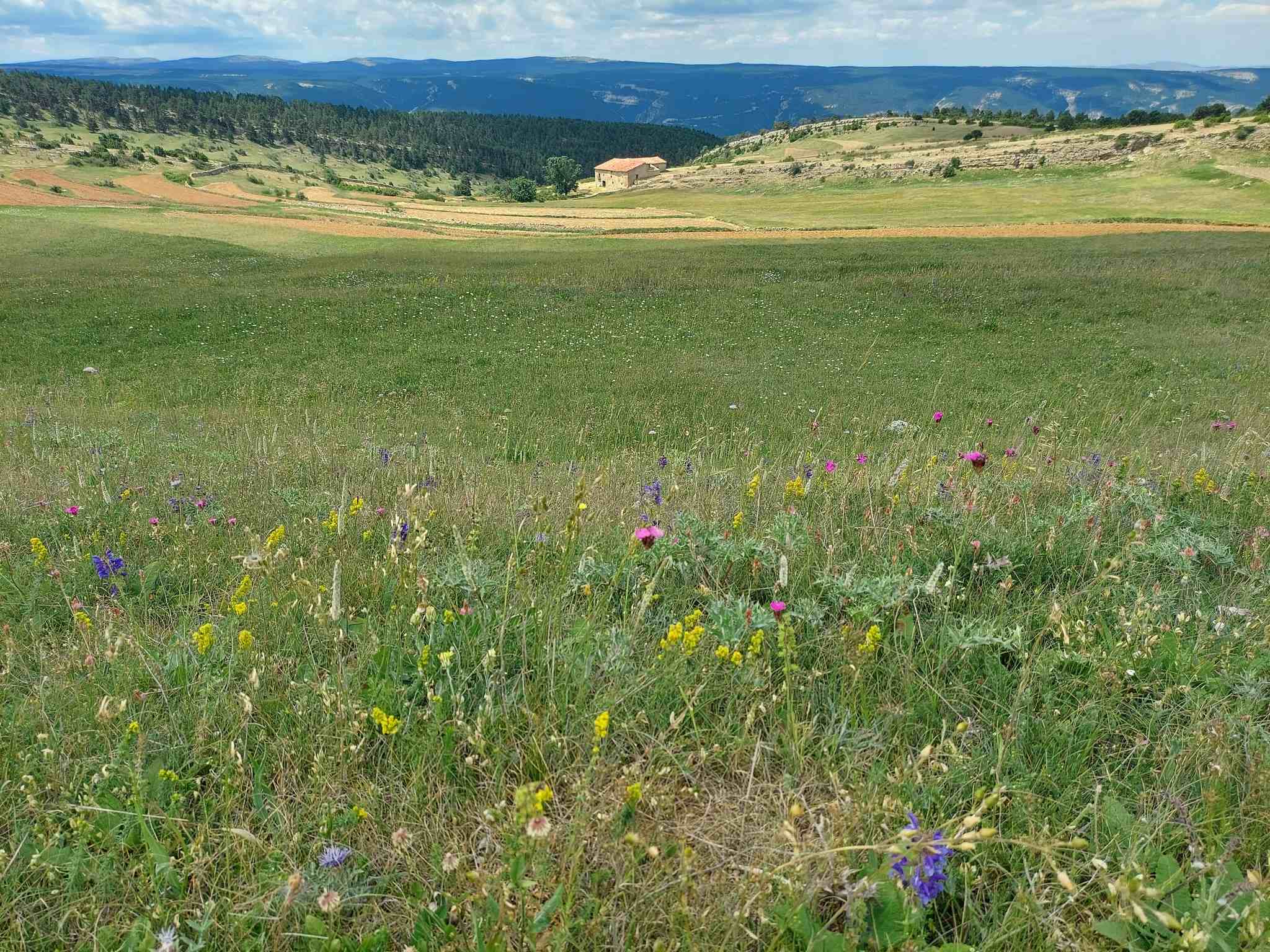
Emerge at a high grassy plateau, the Loma Herrera, which is just below 1,700m in altitude. The footpath runs along the left-hand side of the open space; in and out of the trees. The path emerges at a track, where there are options. The best bet is to bear right and follow the wide track – now off the GR-8.1, so no waymarks on this section. You will see on your interactive map that the track soon meets up with a better (well-used) track; bear left here to head towards the final section to Capellanía summit.
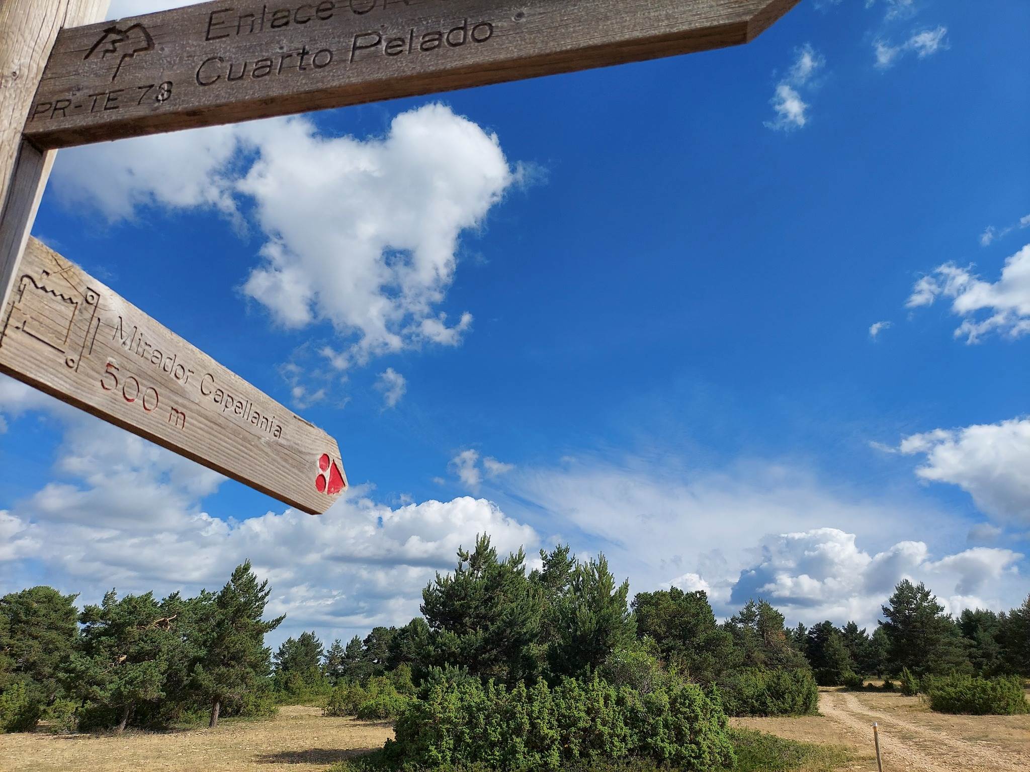
The track leads to a sign which points for ‘Mirador Capellanía’. Follow the sign; it’s another 500 metres to get to the summit area, where there is an information board about birds (etc), a weather station and look-out post – and fantastic views of the surrounding area.
The route back to Fortanete is a different one at first, not exactly making it a round walk, but adding variety to the return. At the flat-ish summit, stand at the information board and turn to face the red weather station and look-out post. Walk past them on the right, along the ridgeline, passing the tall cairn which has a white/yellow waymark on it. The path starts to descend. Around 50 metres further on notice a pine tree with a waymark on the trunk. Bear left here and start the descent under the summit ridge. It’s a waymarked route down the slope to the wide track. Turn left on the track, where a sign tells us that we have been using the PR-TE 73 footpath.
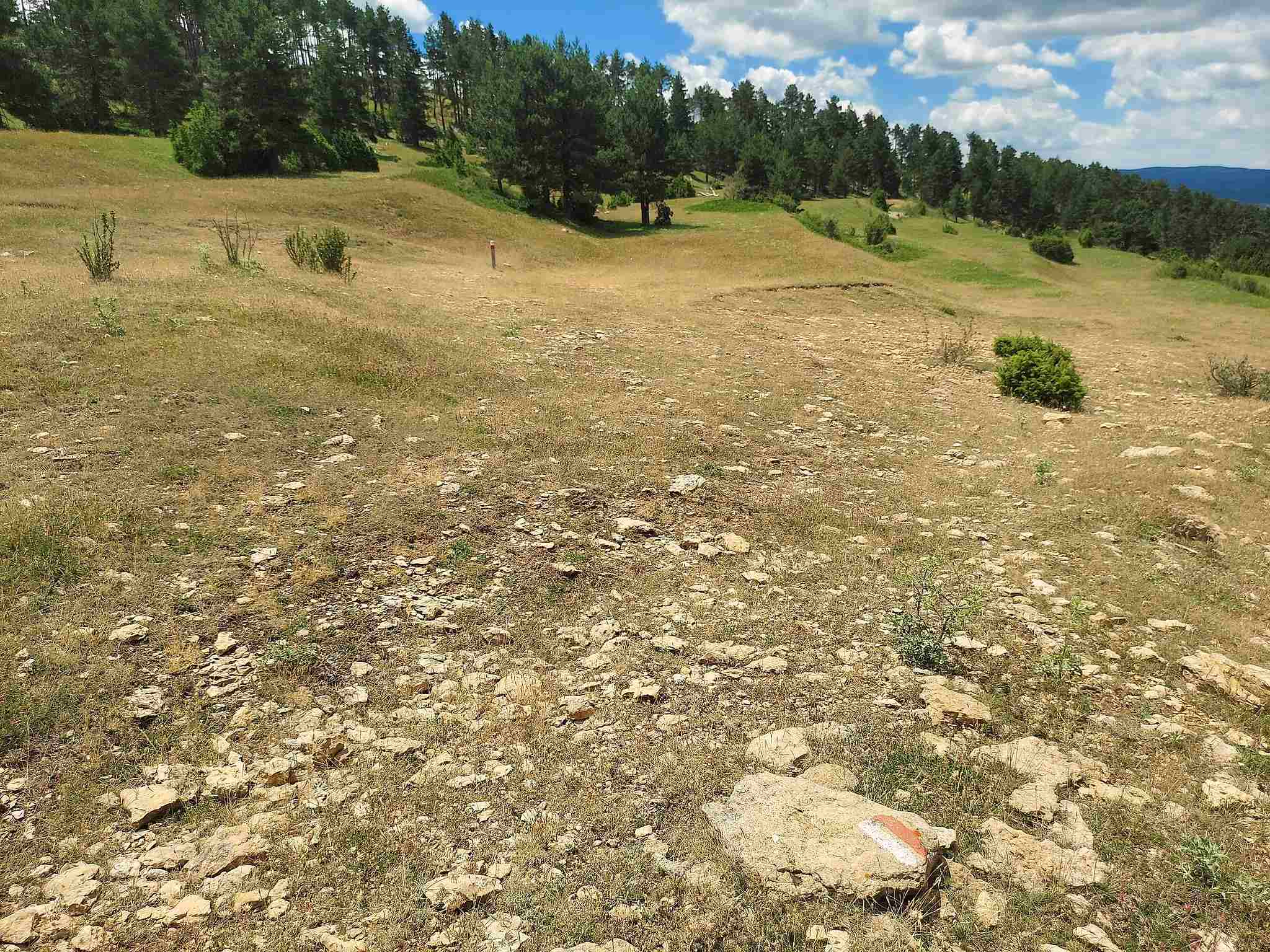
Follow the wide track for a couple of minutes. At a junction notice the track that bears left. Turn left here, but don’t take the track – there is a footpath just above it, where there is a white/red waymark for the GR-8.1. Now back on the GR, follow the path, which is waymarked. The path heads across the grassy slope, crossing the area below Capellanía summit, with short posts to help with direction. It’s a fairly straight traverse. Towards the end, favour the right side.
The entrance to the raised wooded area is not immediately obvious but it is waymarked. Search for the waymarks to enter the trees on the path.
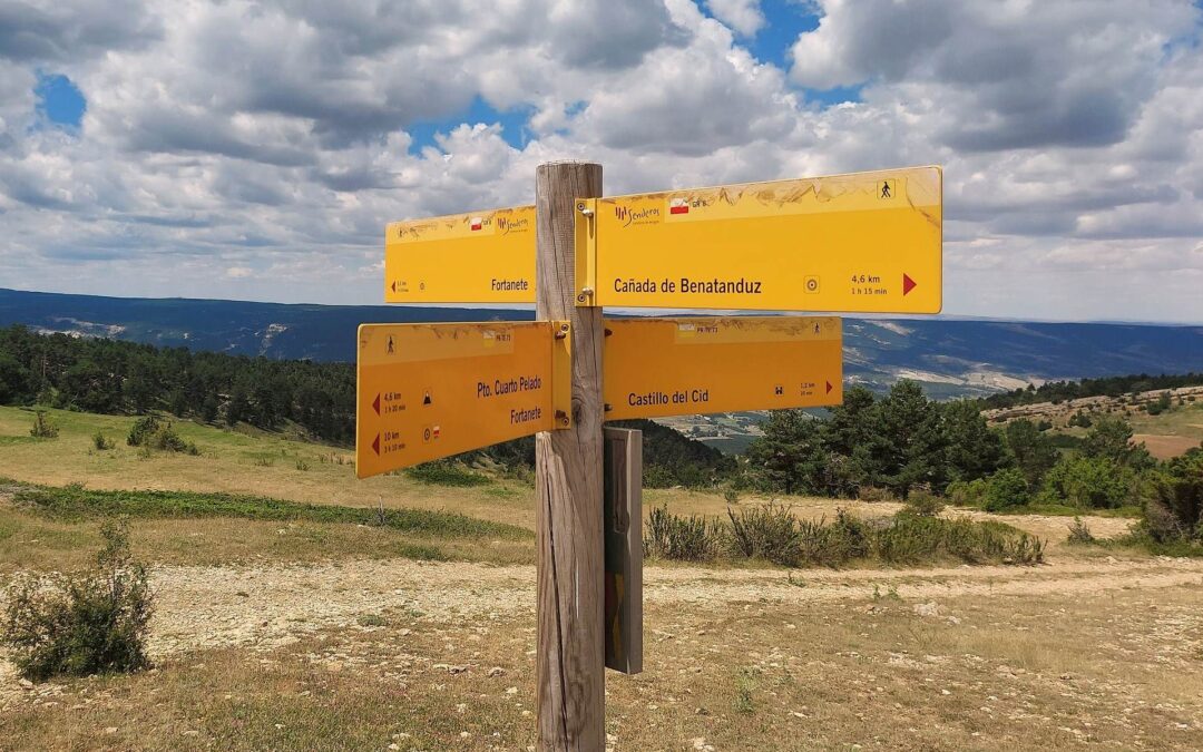
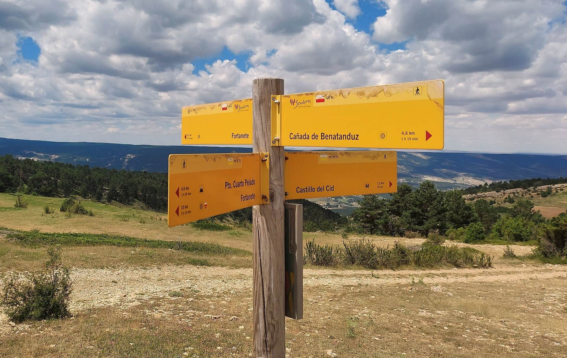
Head through the pines. Come to a four-way sign (see photo). We are going straight on for Fortanete, which it states is 5.1km away. More waymarks and a marker post show the route back into the trees from this open section. There is a short ascent before turning sharp left. Pay particular attention to the waymarks on this short section.
Emerge at a track. This is the same spot reached earlier, on the ascent – at the end of the wide plateau.
Keep on the right-hand side of this grassy area to follow the waymarked trail. Head back to Fortanete on the same path taken on the ascent – crossing the plateau and entering the pine wood for the descent to the village.


Recent Comments