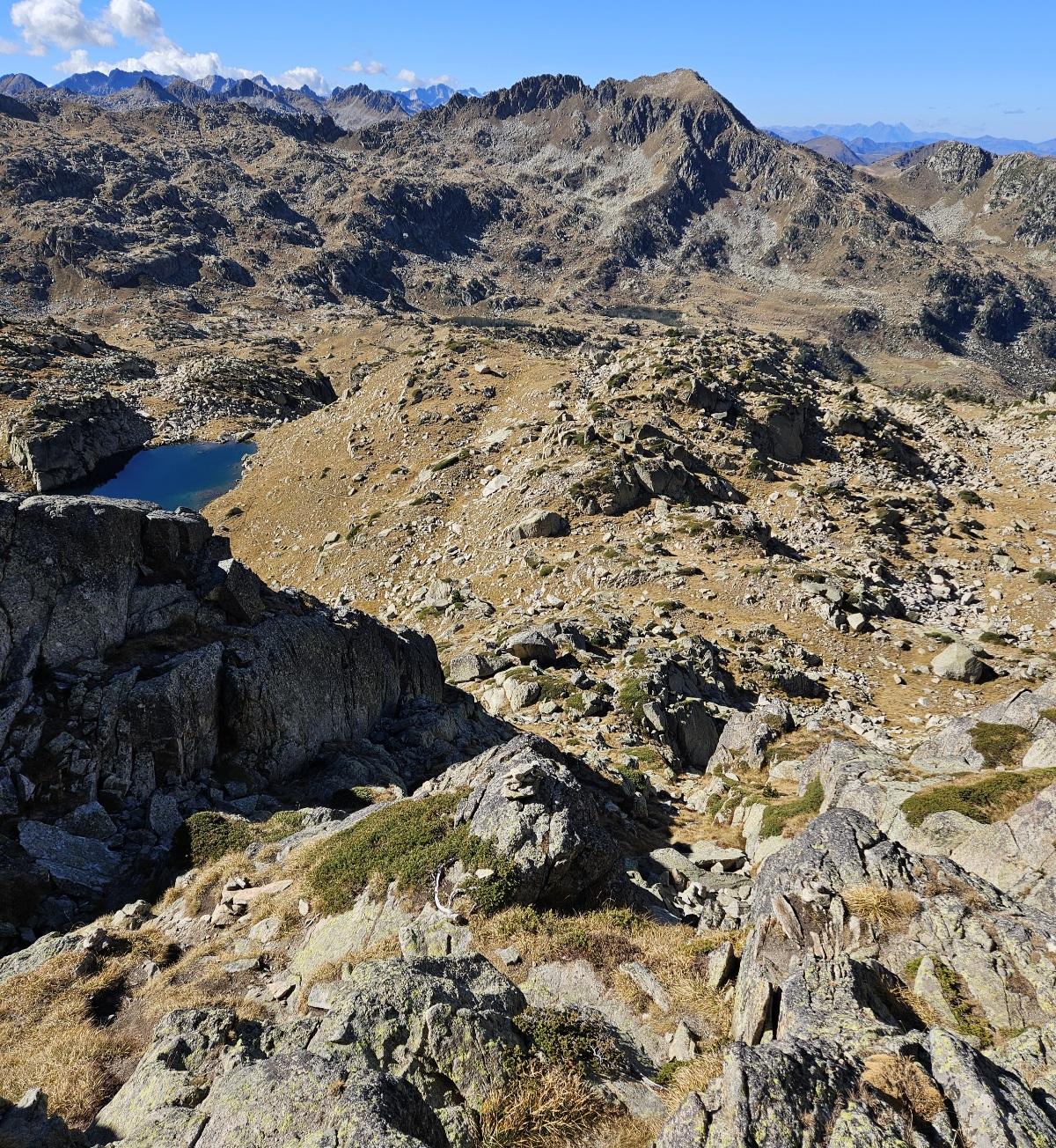
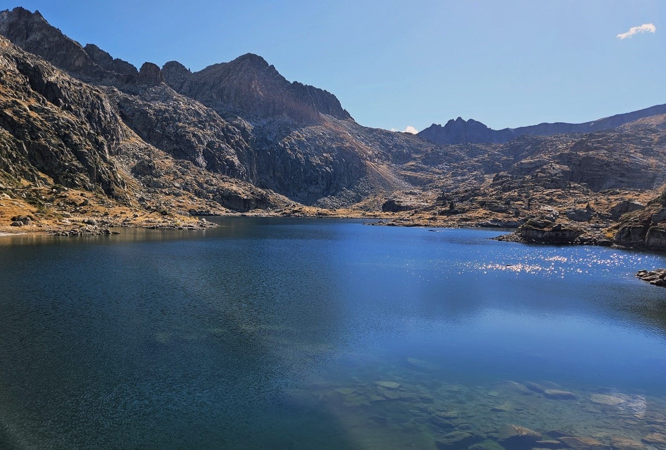
It’s hard to imagine a more privileged position than one occupied by the Còth der Estanh Gelat.
The orientation of the col, looking west across the summits, gives the hiker a view over a plethora of 3,000-metre-high peaks; some still with glaciers, such as Aneto.
And the striking blue of the glacial lake below the pass creates the illusion of water plunging to infinite depths.
You will want to spend some time at the Còth der Estanh Gelat to savour the surroundings, enjoy the feeling of being at an altitude of 2,585 metres and boost energy reserves before starting the second leg of the walk.
The next ‘destination’ on the route is the Saboredo mountain refuge, named after the glacial lake which lies before it, which is on our route.
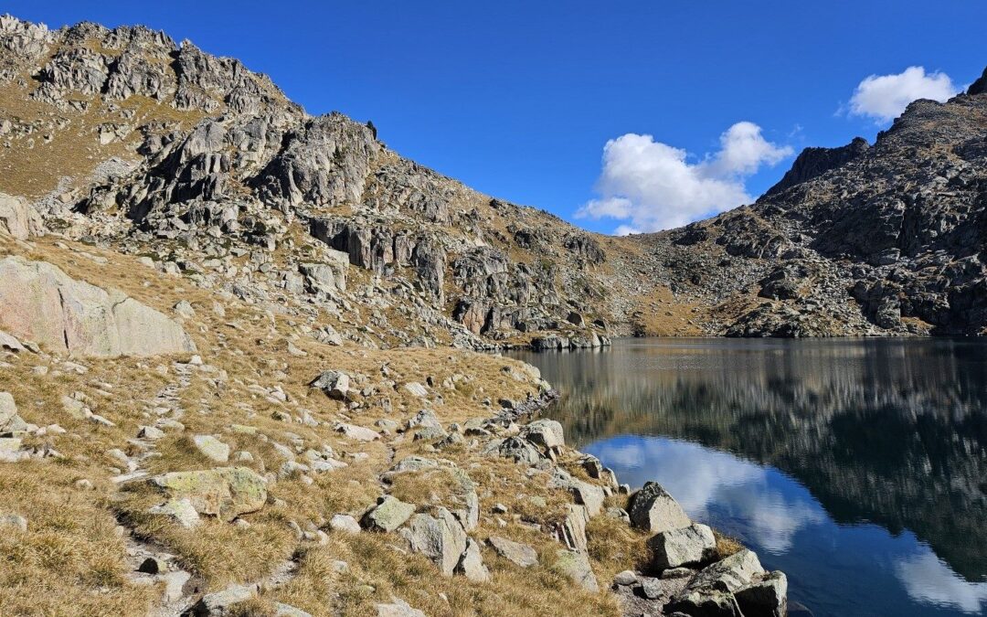
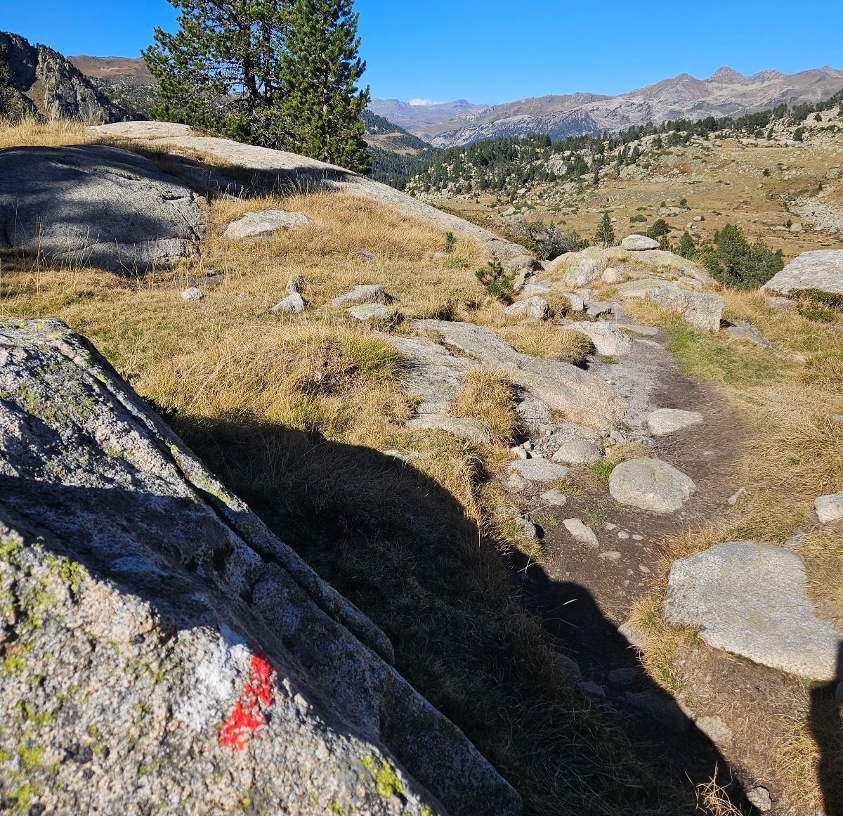
It’s a terrific path which leaves the pass, almost flat and curving round, high above the Estanh Gelat lake.
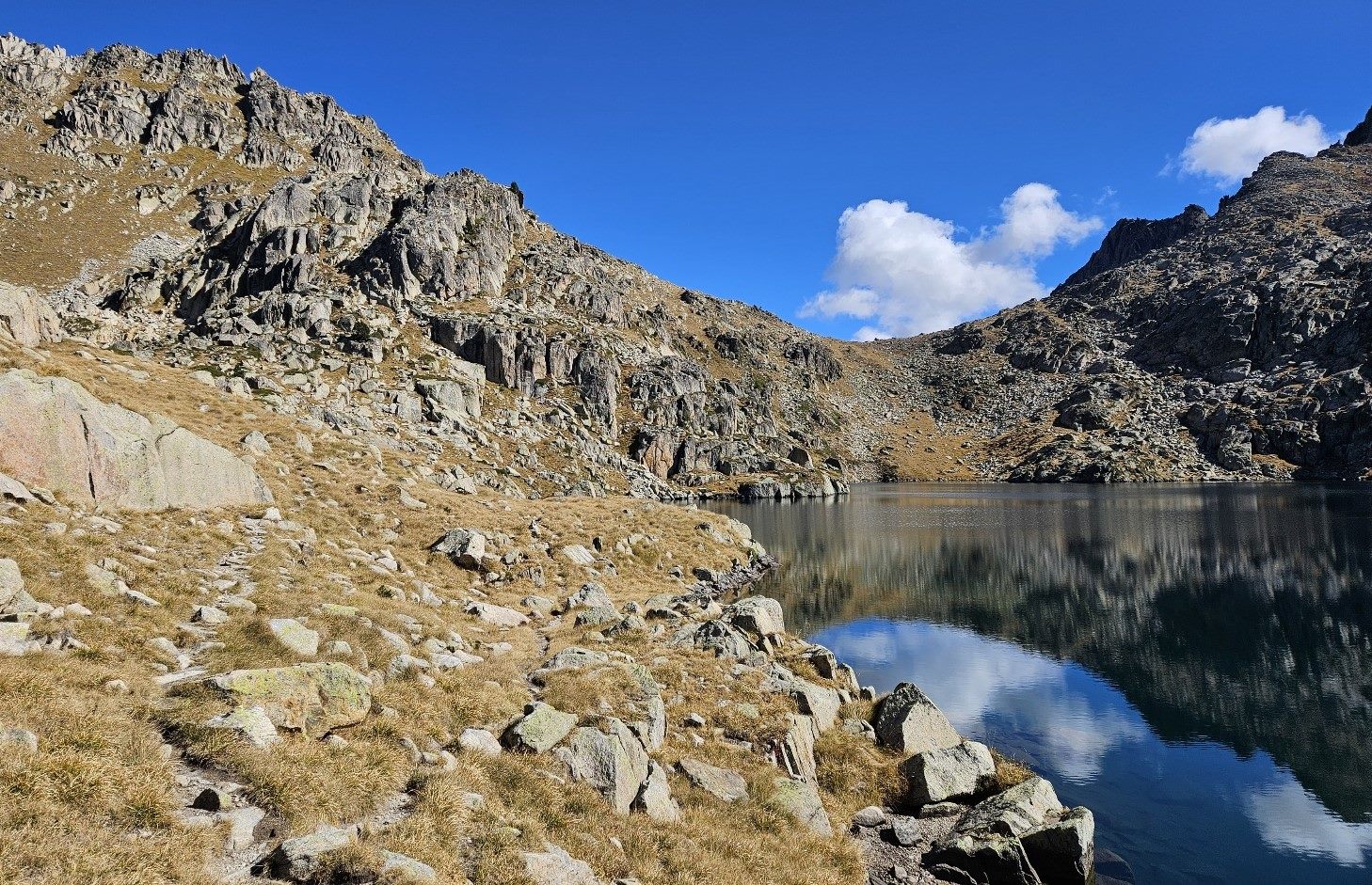
Then there is a steep descent to the far shore of the Estanh Gelat. Care has to be taken going down; there may be the odd patch of ice on this section.
After negotiating the route down, the path bears to the left to reach the shore of the glacial lake.
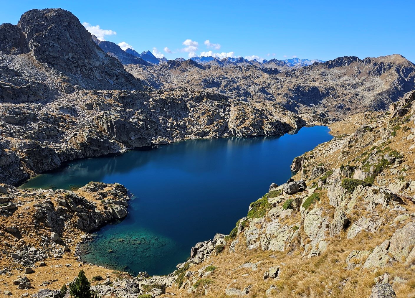
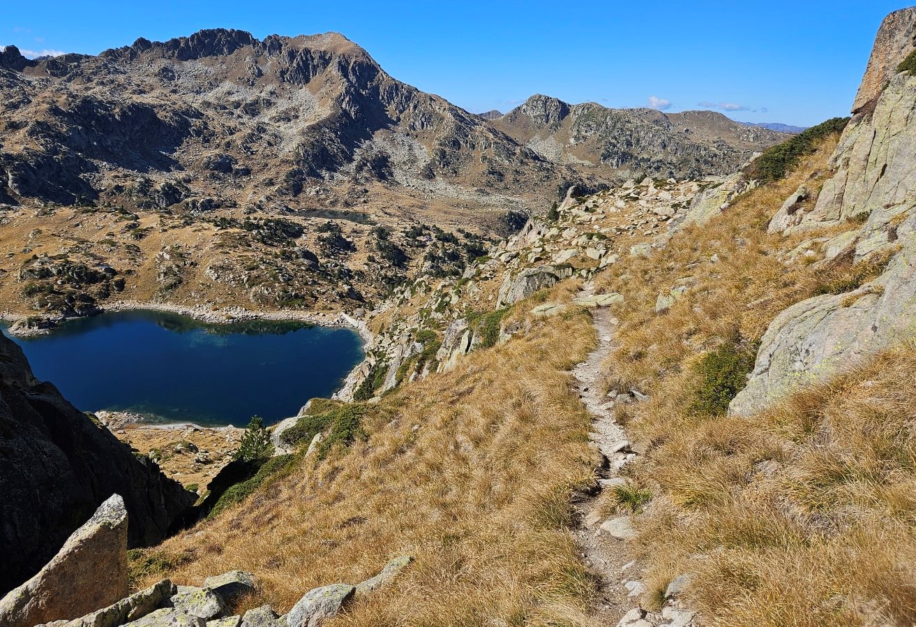
Continuing, we can see the next lake begin to take form almost immediately. This is the Estany Major de Saboredo, the larger of the two Saboredo lakes.
It’s another beauty. We can also see the Estanh deth Miei behind it.
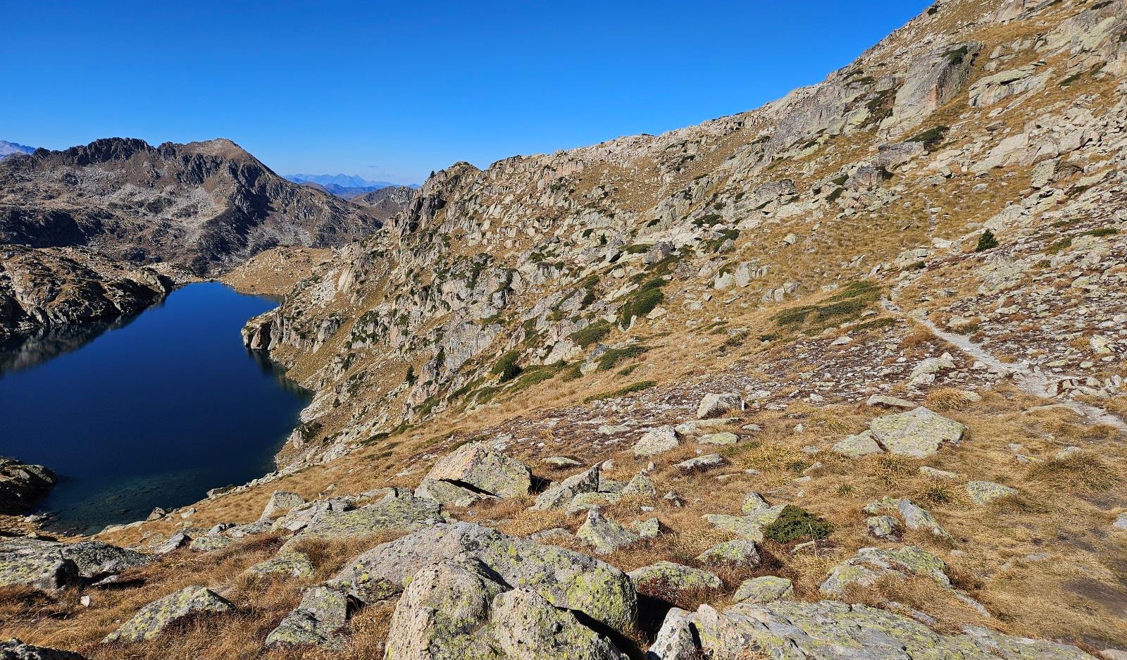
The path descends towards the right-hand corner of the lake, but starts to ascend again before reaching the shore, heading above the tail-end of the Estany Major.
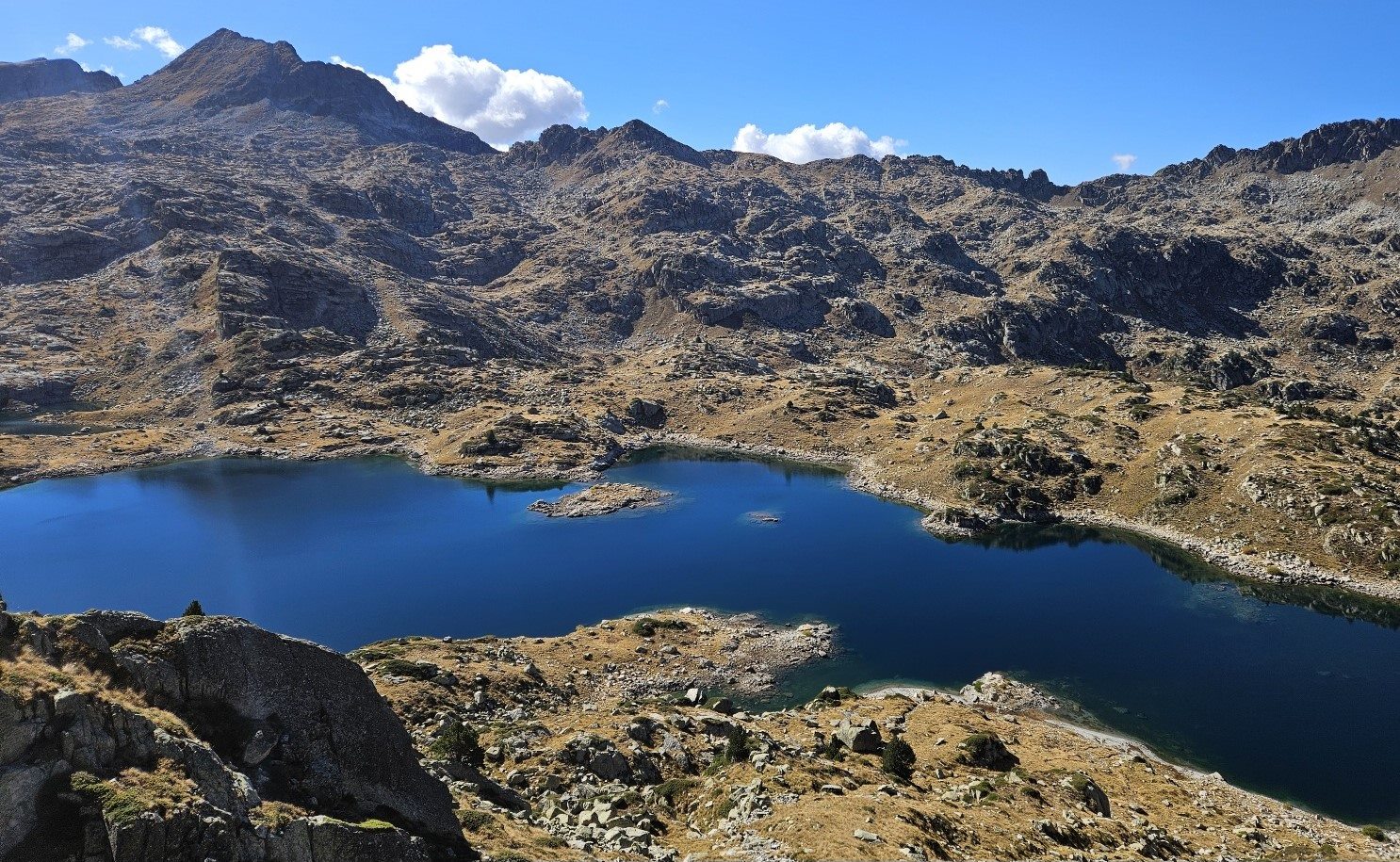
At the top of the rise, it’s worth a look back over the Estanh Mayor and the Estanh de Naut de Saboredo, which is behind it. These are the last of our glacial lakes on this route.
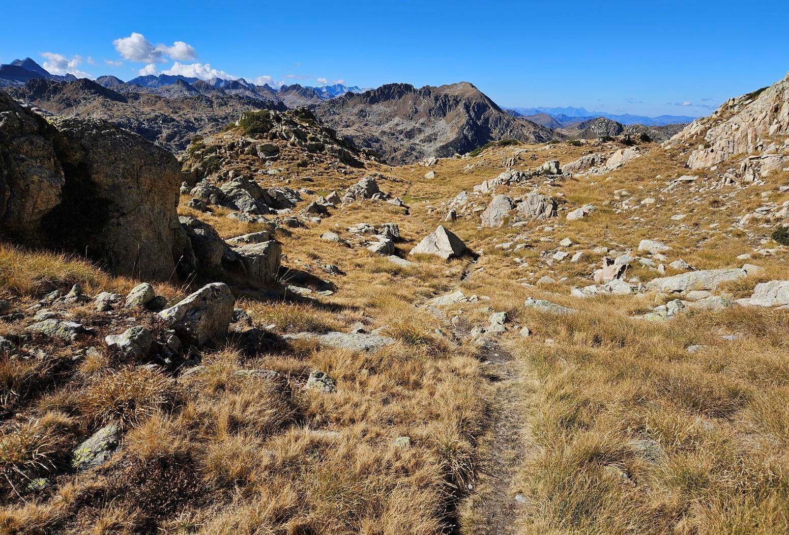
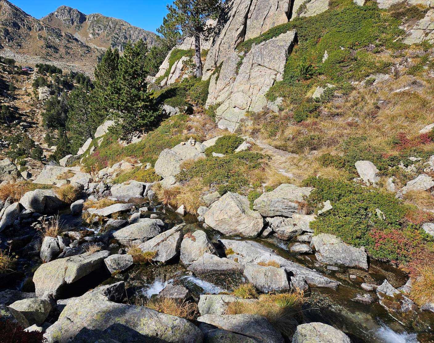
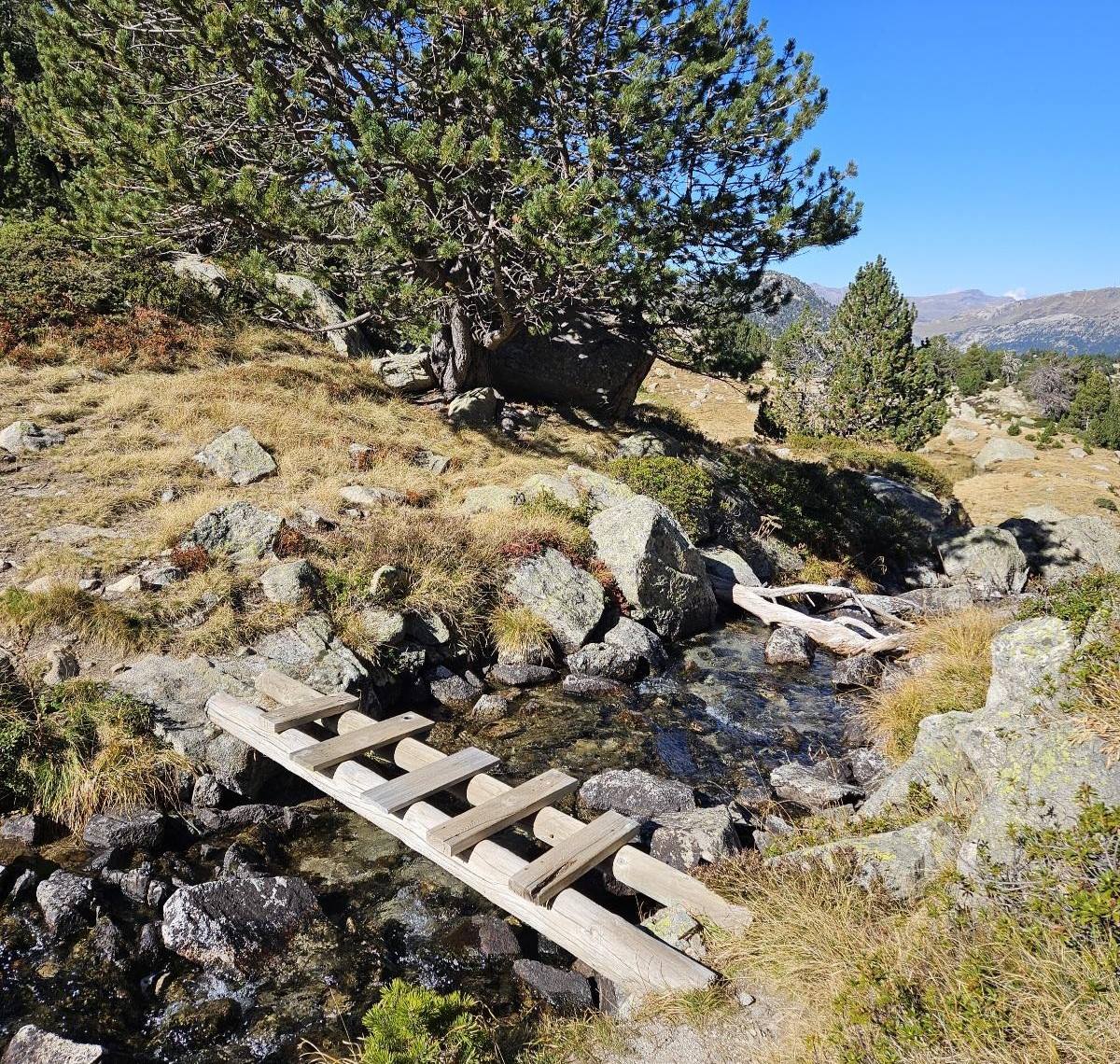
The path then goes down. It’s a rocky section, following a stream before crossing it. And then crossing it again, this time on a small footbridge.
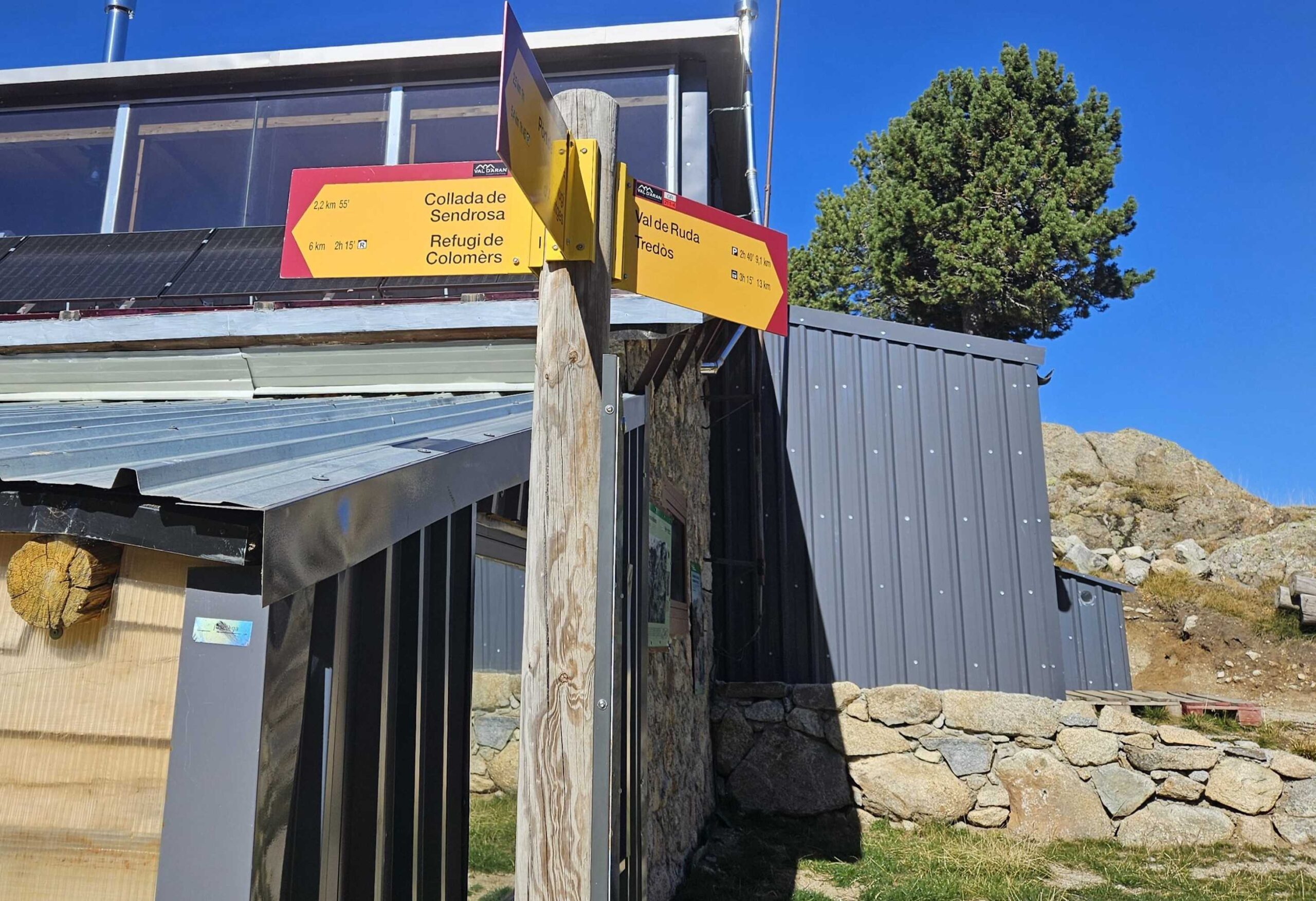
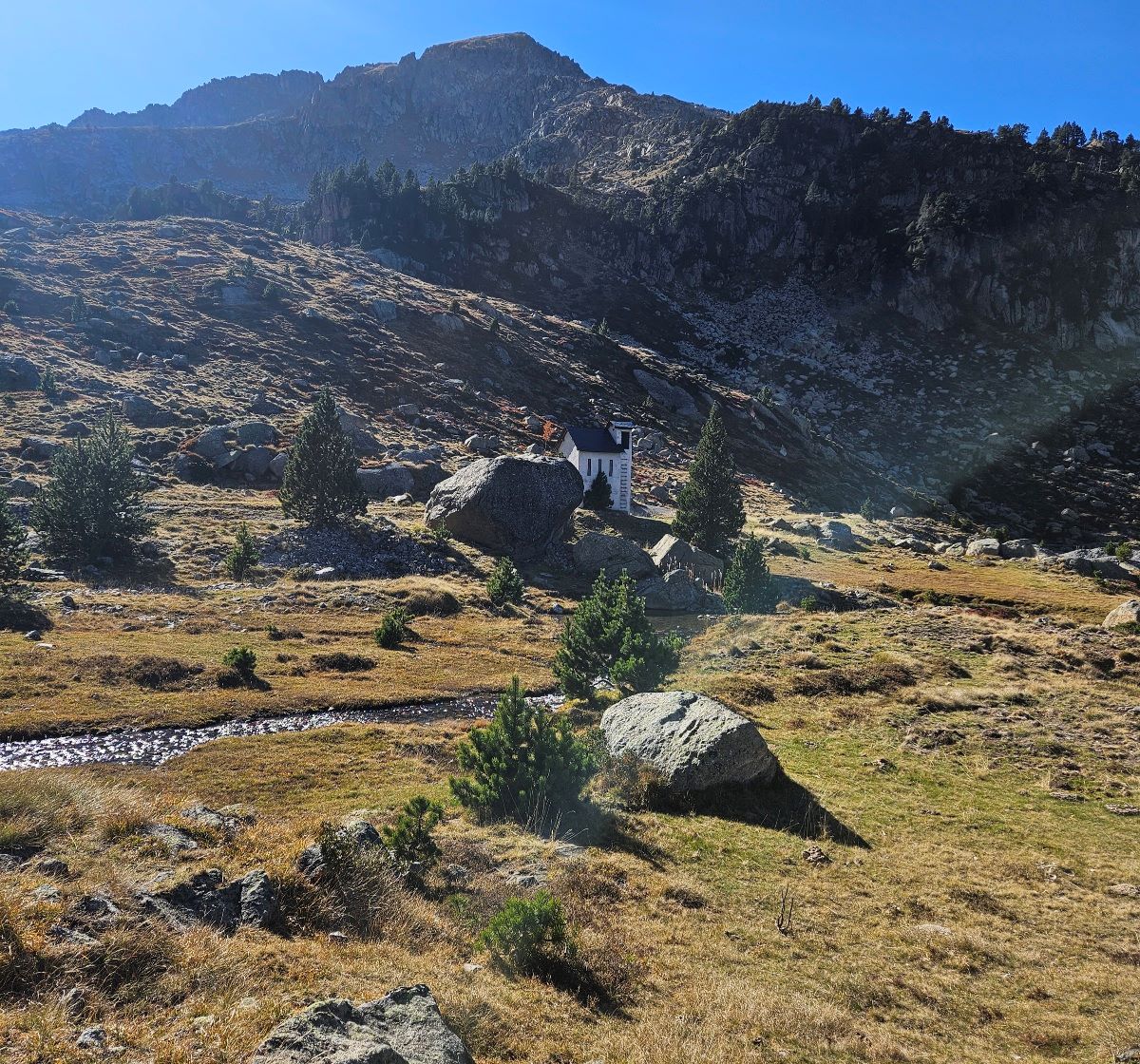
Then it’s up the other side of the slope to emerge at the Saboredo mountain refuge at 2,305m.
At Saboredo we bear right, following the sign for the Val de Ruda; we on now joining the GR-211.4.
The path enters the top of the Ruda valley, with the white/red waymarks of the GR clearly showing the way.
Our route goes down to the small Saboredo barrage and passes on the right-hand side.
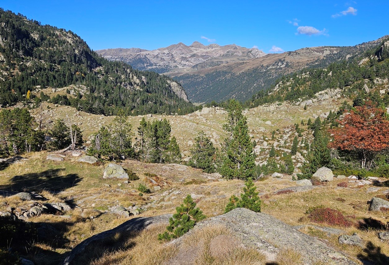
It’s a steady descent of the valley; the path turns into a wide track which follows the mountain stream.
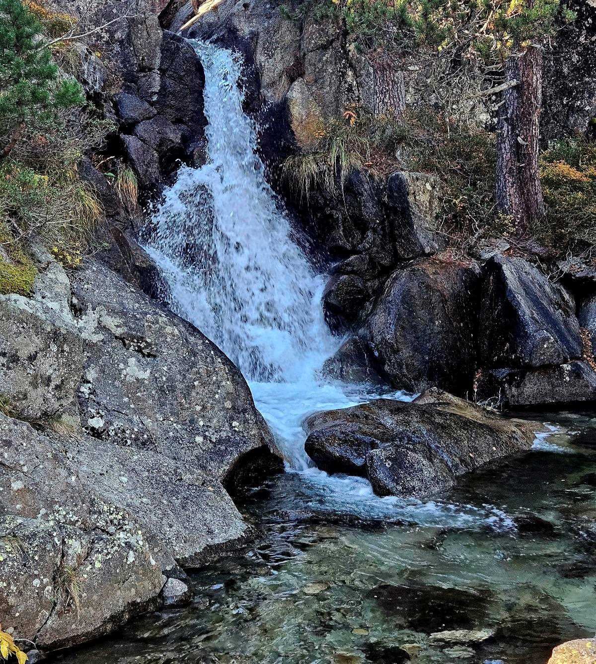
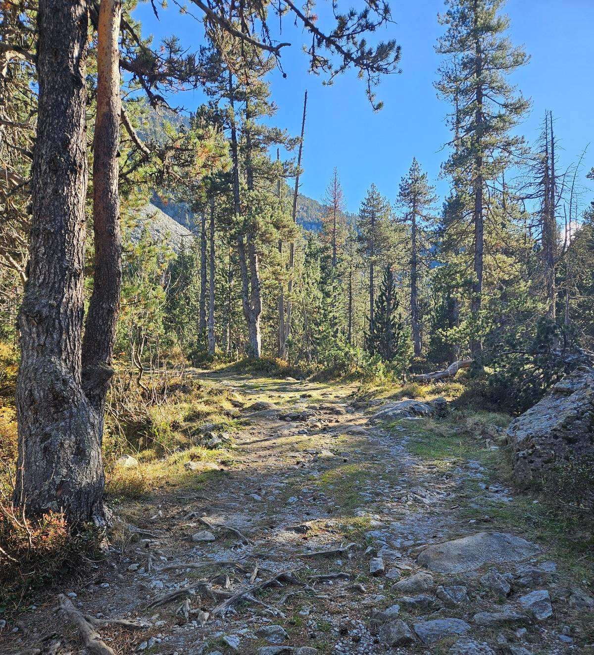
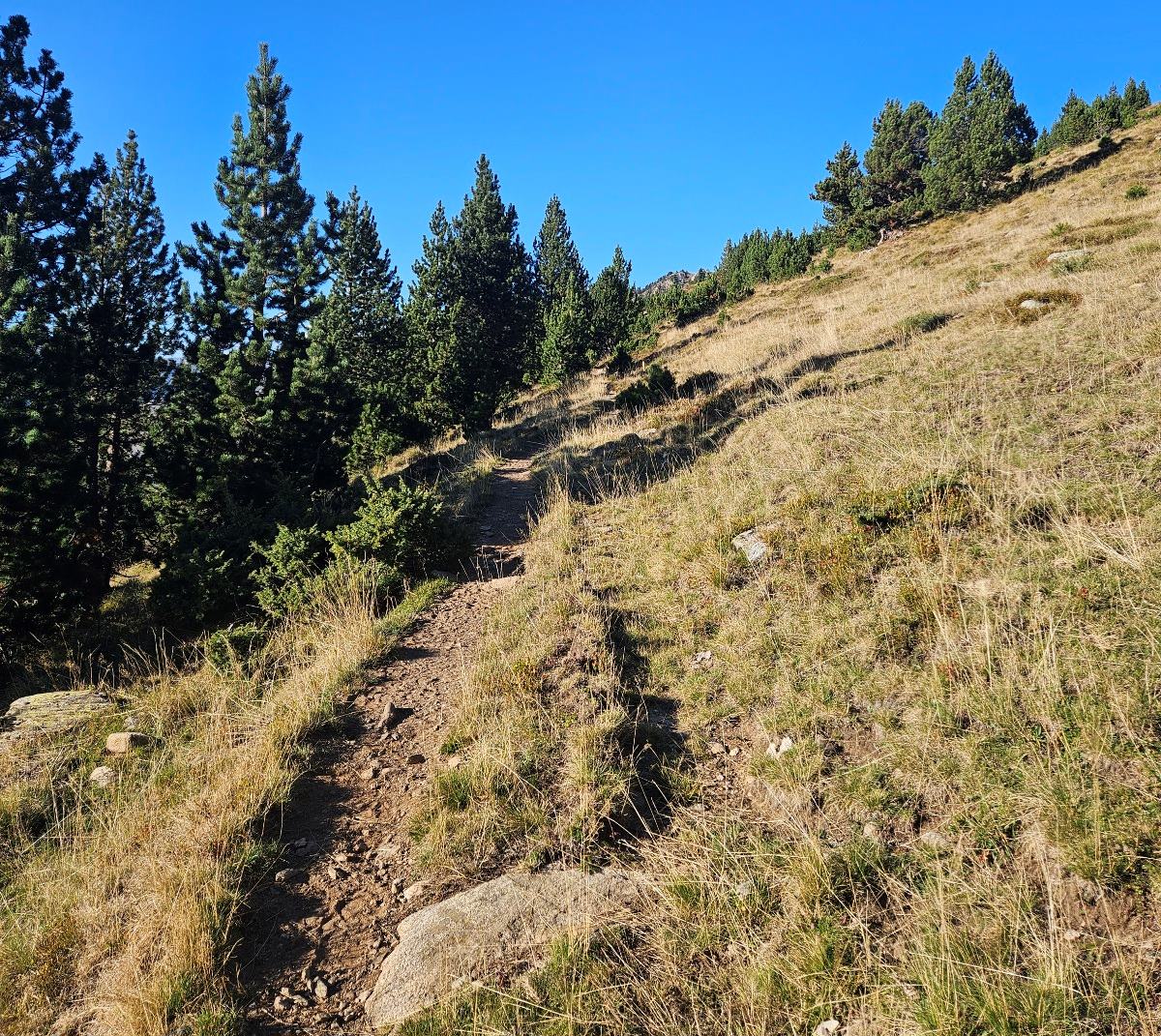
There is a very pleasant section through tall pine trees; the route passes a small waterfall.
The pines relent and the track emerges from the woods mid-valley. We continue to descend on the wide track.
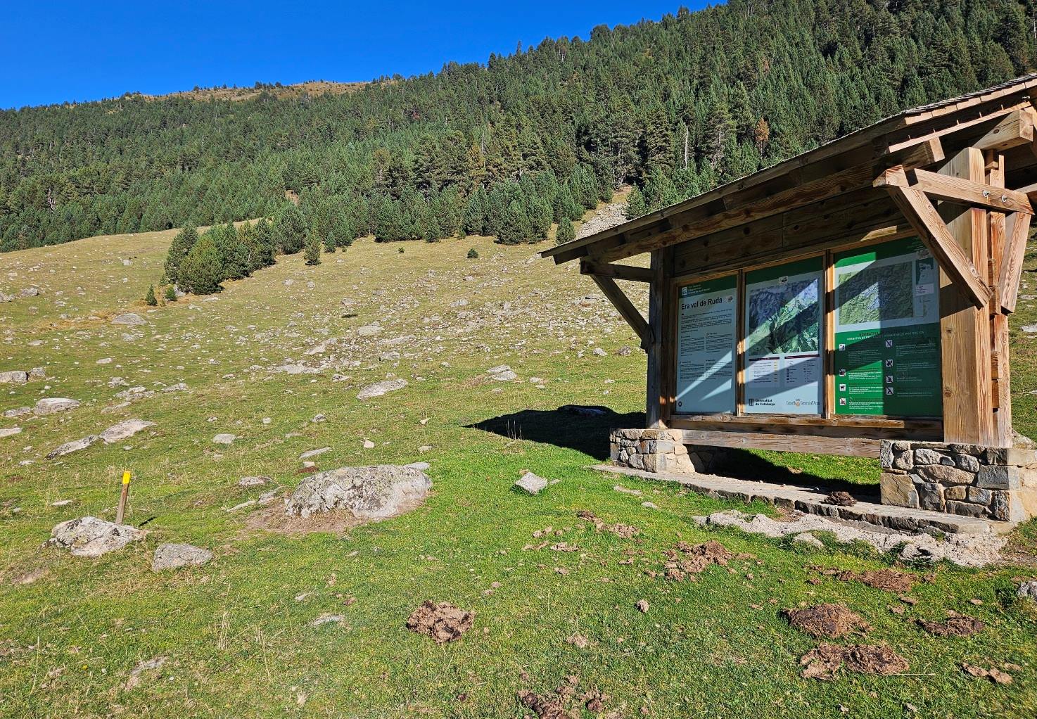
On the way down, see the large information board with maps and suggestions for the Val de Ruda. This is where we turn off right for the climb out of the valley.
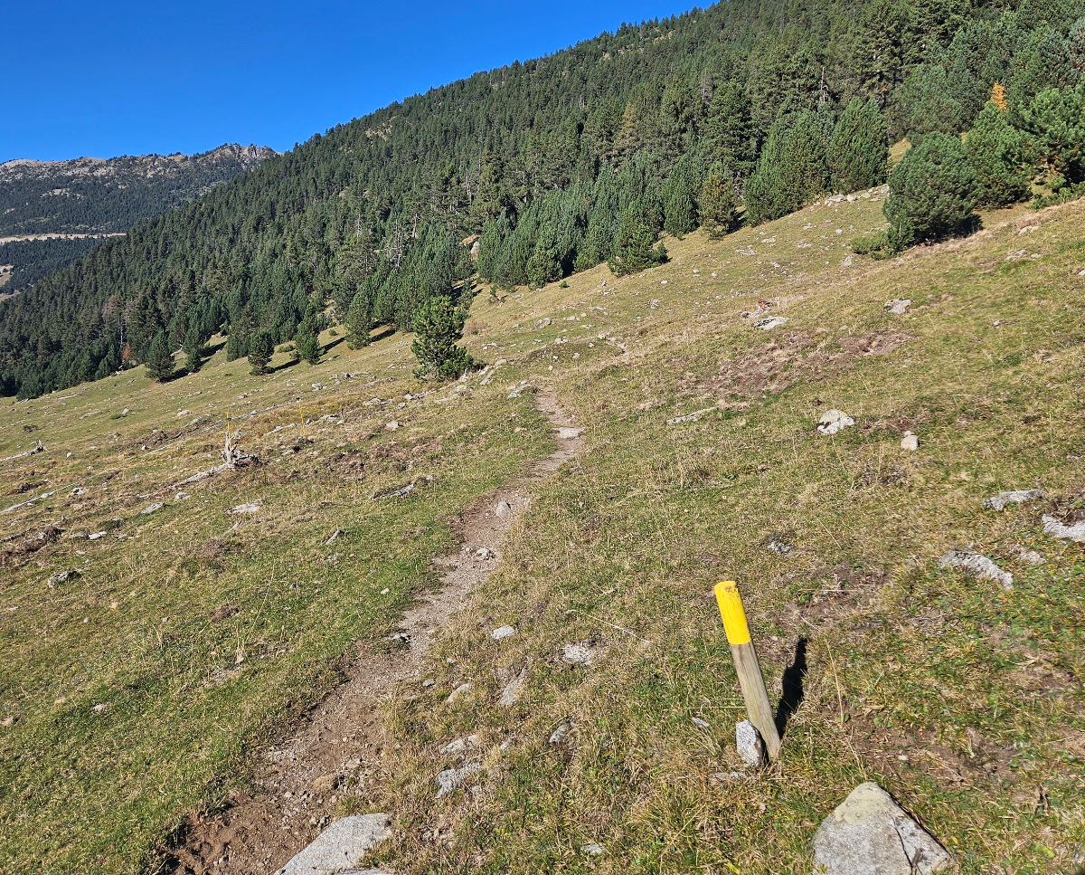
Notice the posts. We need to follow them for the start of the ascent. At first the gradient isn’t harsh as the path moves across the slope. But then it starts a switchback climb.
It is a tough ascent towards the end of a long-ish day. There is some shade from the trees, which helps.
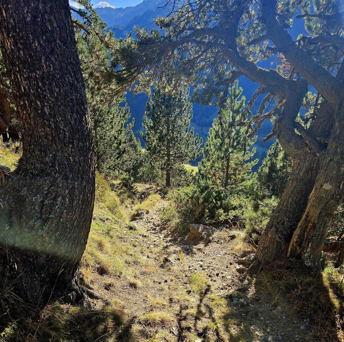
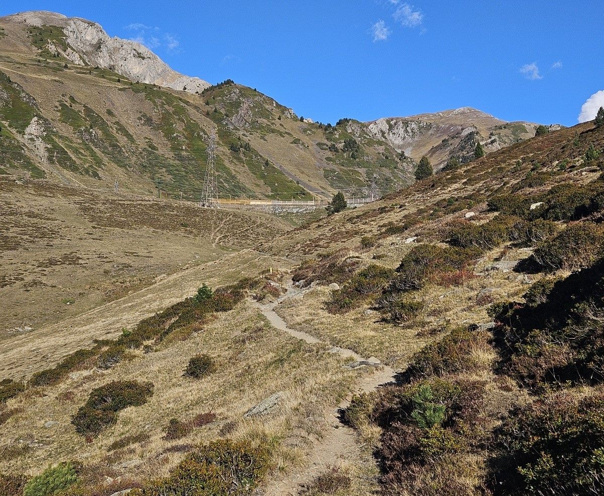
Finally the path reaches a clearer area and the climbing gets easier. The route emerges at a point which is close to the Port de la Bonaigua, where the C-28 road comes over the pass.
Here you will have to make a decision. The longer way is to traverse across to the road to do the descent. This involves bearing to the left. The map does show a path running close to the road, but I have not been down it.
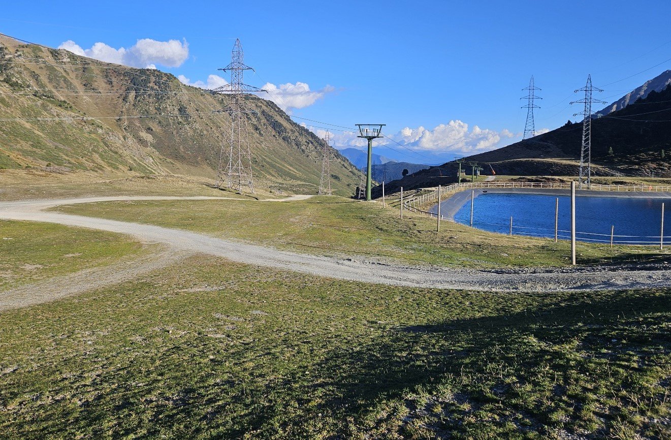
I turned to the right, passing to the left of the large pool on the wide track, to then go down the ski slope which is a very direct route back to the car park. This may lead to you being challenged by the workers who seem to be at the ski station all year round.
My argument would be that this should be a public mountain and it is used for livestock grazing. However, I am not sure of the legality of the situation should you meet with angry ski station staff.
Both routes go back down to the car park, close to the Peülla ski lift.
Recent Comments