There two ways to descend from the summit of Morrón de Campos to the Arenoso reservoir. It can be done on the wide forestry track which is used by vehicles driving up to the look-out point; or via a path that is not waymarked and which runs along the top of the Mijares canyon, before starting the descent.
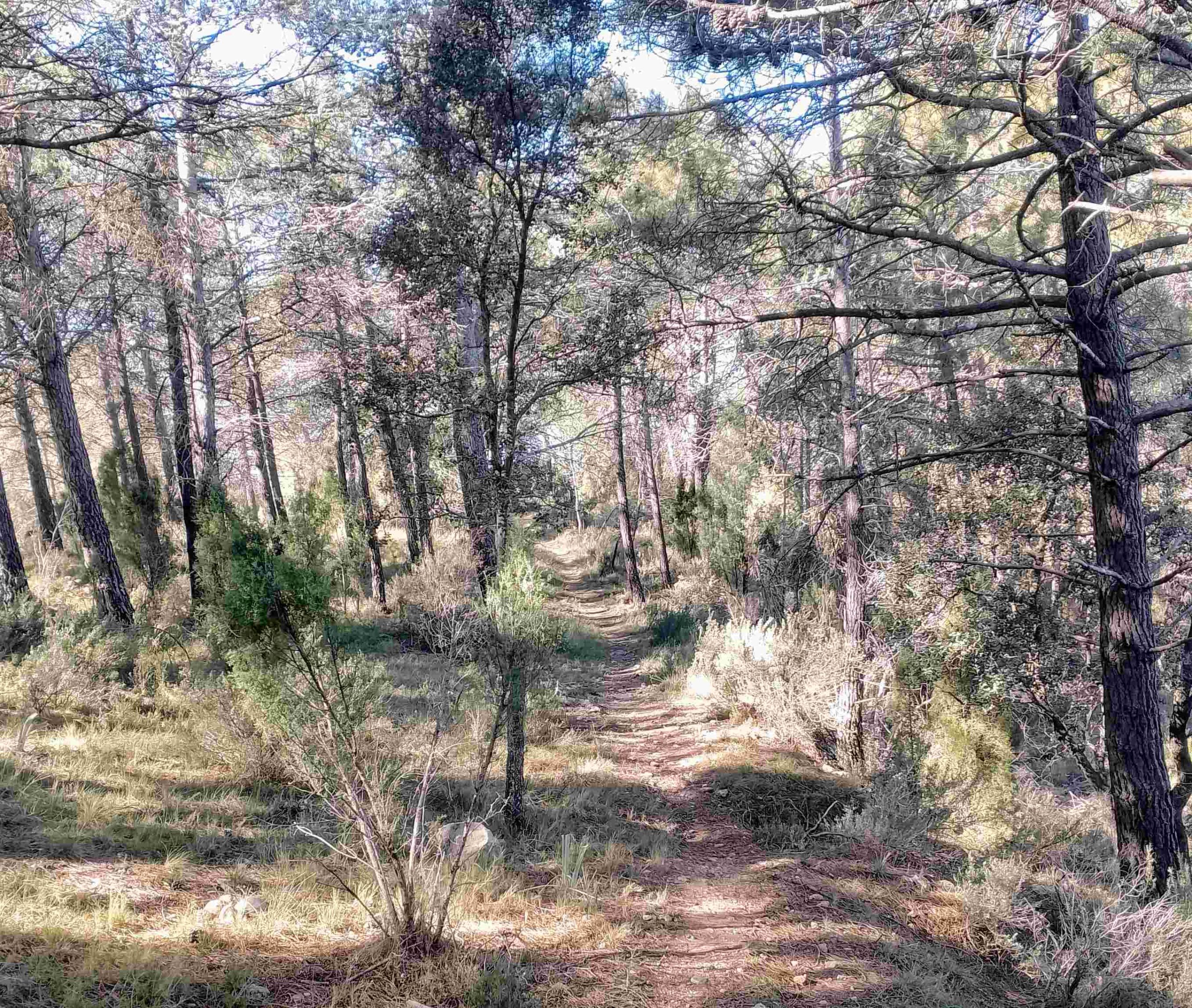
The latter option is the most enjoyable; to find the path walk for around 50 metres along the surfaced track, heading away from the look-out building. Notice the path on the right which heads down into the trees.
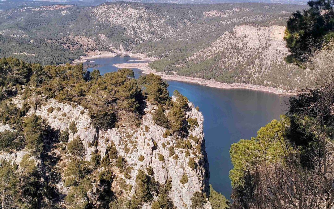
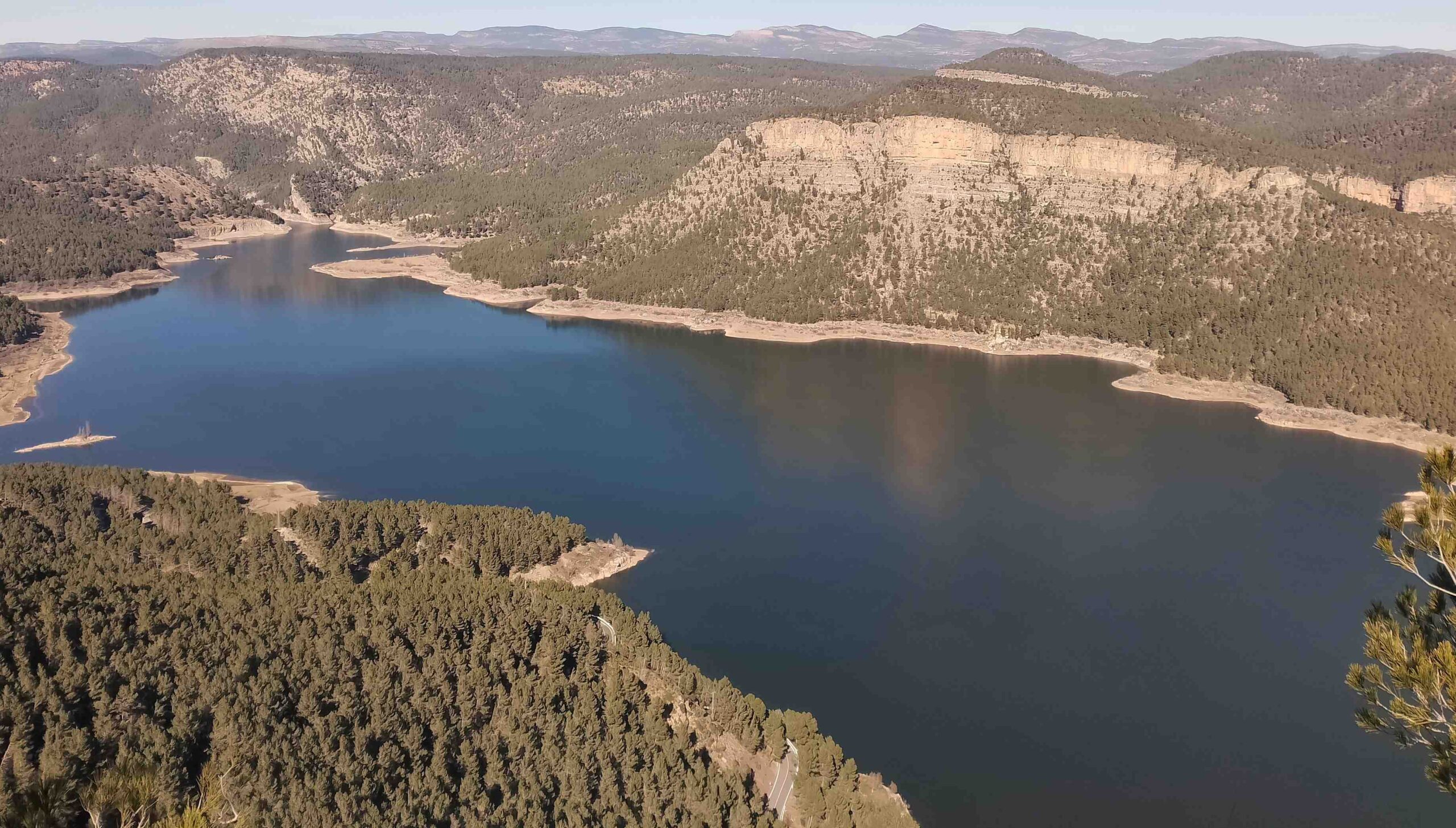
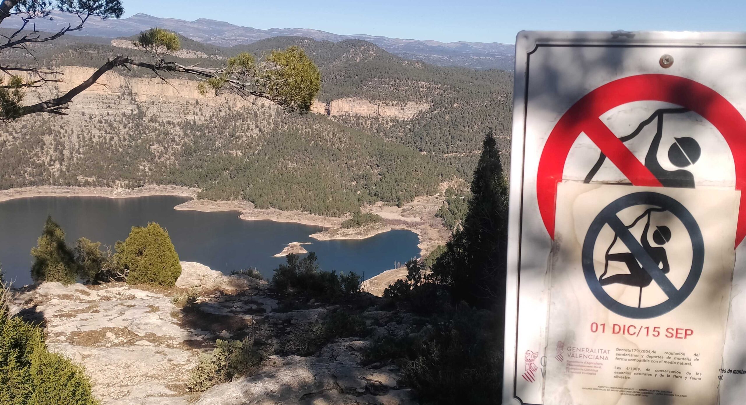
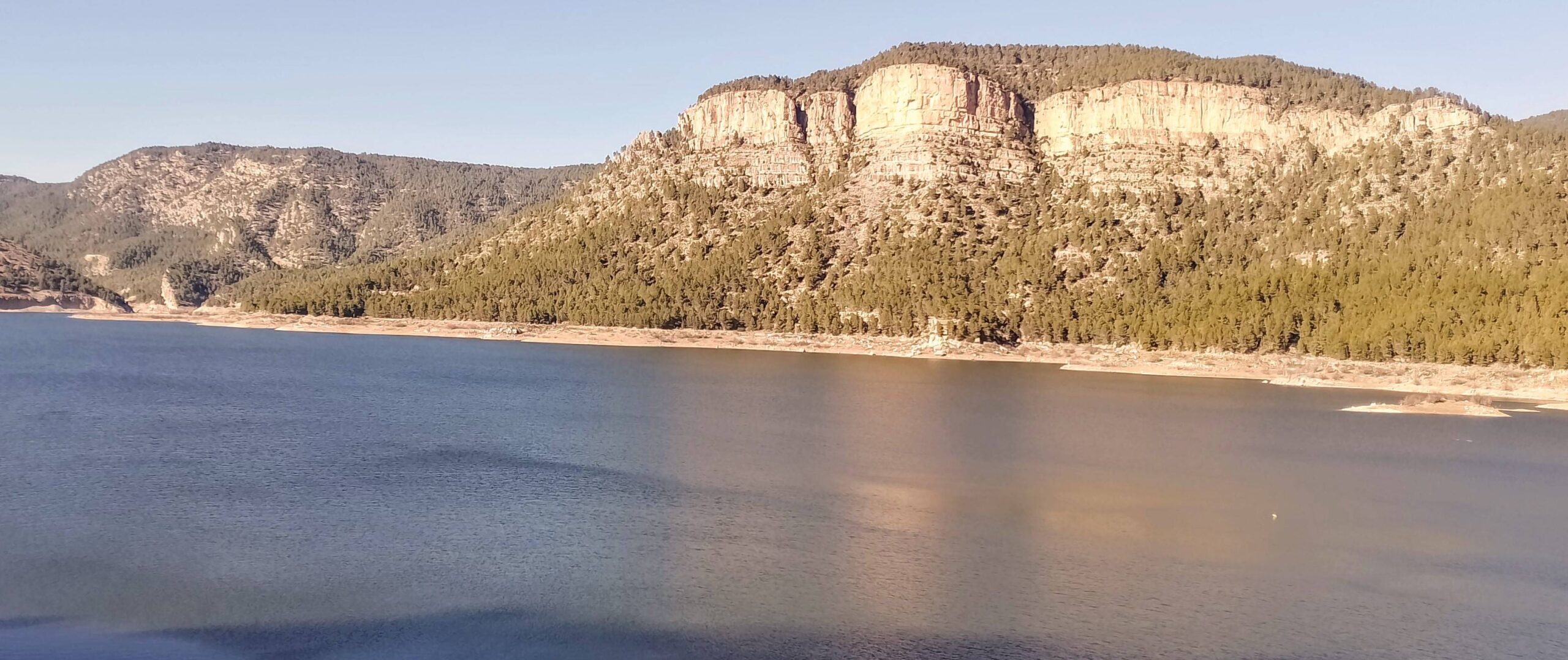
It’s a very good path, which goes into the forest. On the right a series of fantastic views appear over the Arenoso reservoir. There are also signs for climbers explaining that their sport is banned on the canyon walls from December 1 to September 15.
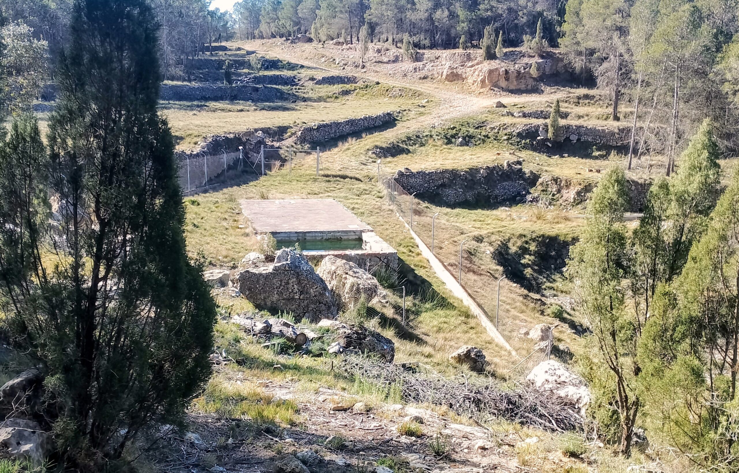
The path drops down and meets up with the Morrón de Campos pink route, with the white/pink waymarks. Be careful to turn onto the route at a crossroads of paths; if you arrive at the farm building pictured below, this means that you have gone too far (as I did) and you will have to retrace your steps.
The waymarked path takes the walker under the high cliffs which gave the views over the reservoir near the top of the mountain, bearing round to the right. The path charts a steady switchback descent, heading towards the reservoir.
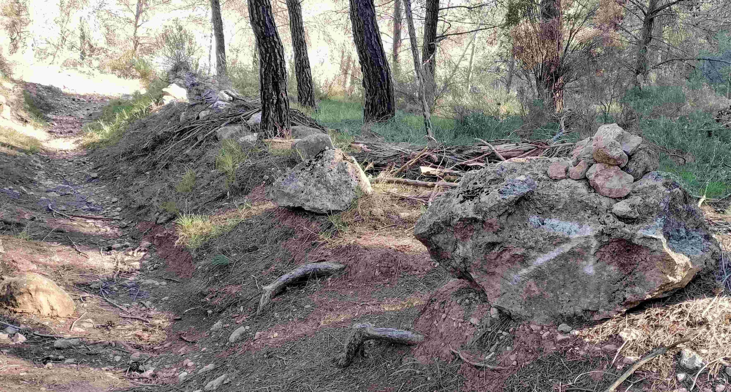
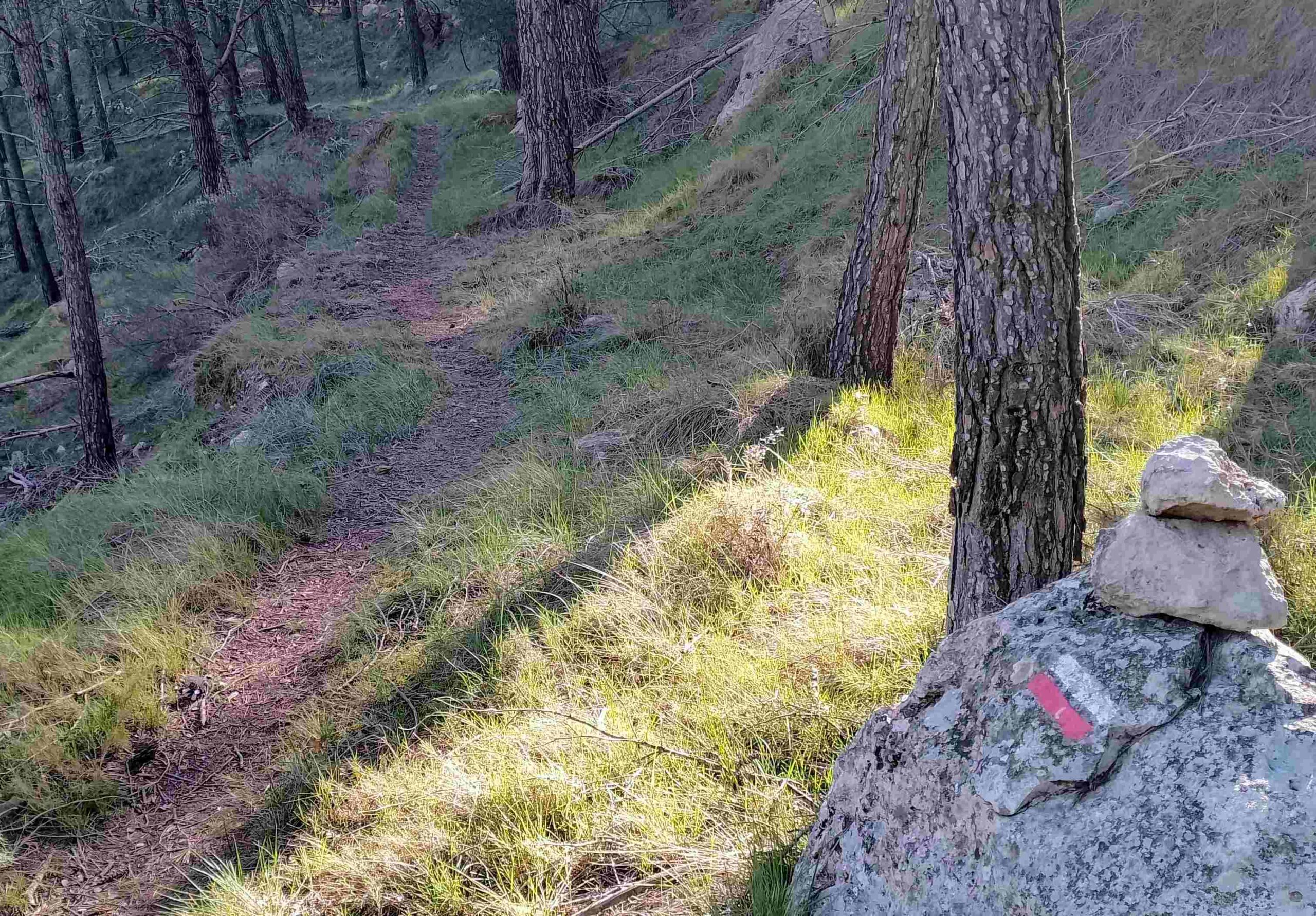
On the way down be careful not to miss the turn off right. On the right-hand side of the path there is an arrow on a rock which has a cairn on top. Turn off here, heading into the trees, following the white/pink waymarks. The path heads across the slope, running parallel with the road below (if you miss the turning, it is possible to walk down to the road, turn right and walk to the dam along the road).
The waymarked path continues through the trees, before dropping down to the road close to the dam; turn left at the road, now following the white/blue waymarks.
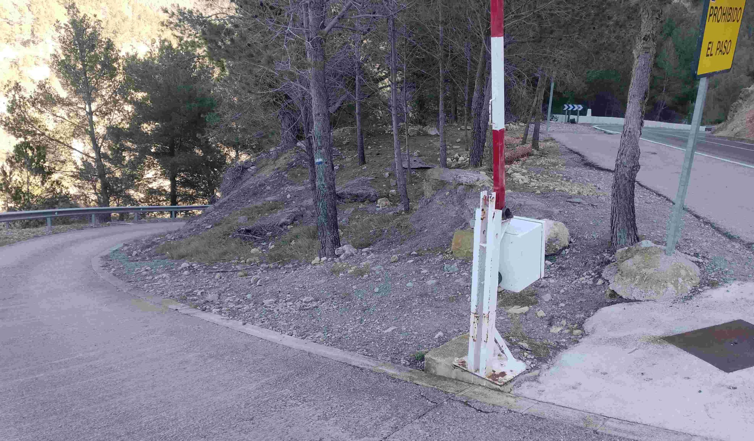
See the narrow road just before the dam, where there is an access barrier. Walk down this lane, following the white/blue waymarks. After a short distance, bear left at a junction to follow the wide track, which is now gently ascending and moving towards the dam.
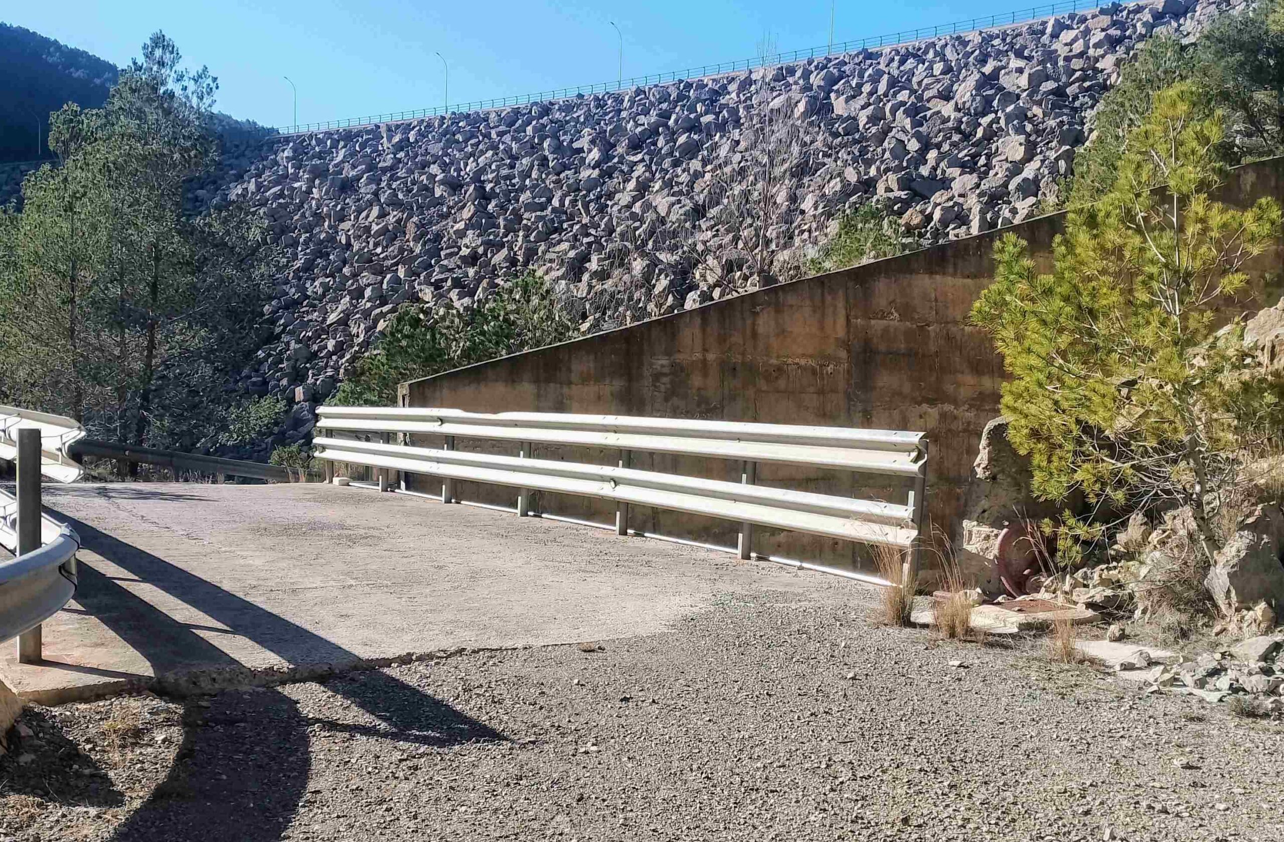
The track goes across the centre of the dam, where giant rocks are piled high. It’s quite an amazing passageway; huge boulders of the dam to the left and more down to the right, looking at the original path of the Mijares river at the bottom.
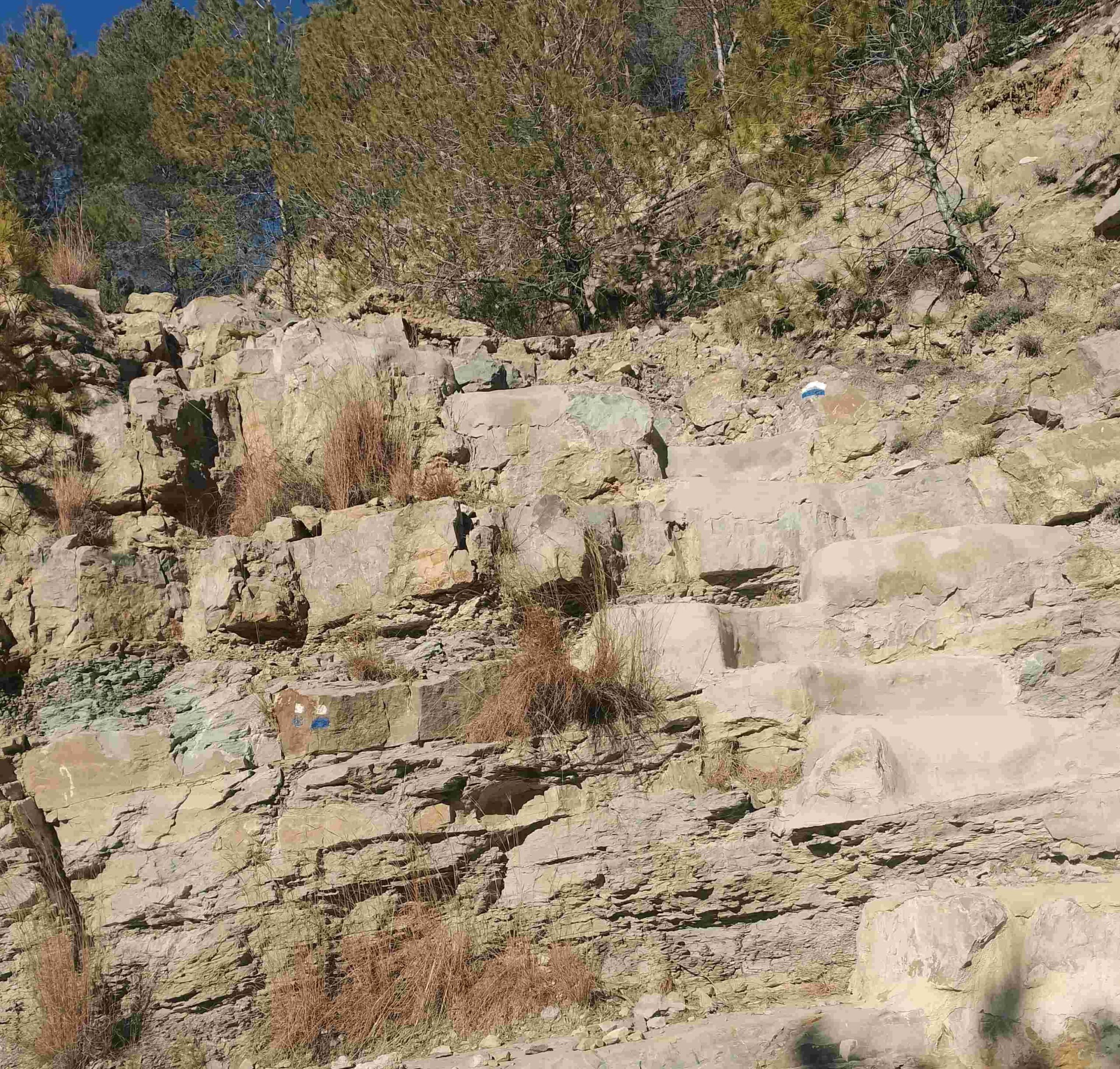
Towards the end of the dam, a bridge crosses a relief channel, where water can be released from the reservoir. Straight after crossing the bridge, our route bears to the left. This looks unlikely at first but there are steps cut into the rock to help with the climb up the face. Ascend this short section then follow a shallow concrete irrigation channel which leads upwards. The white/blue waymarks show the way.
The path reaches the reservoir, emerging at a spot close to the road which crosses the dam. The waymarks show a route to the right of the road, following the fence and then ascending. Climb up to a point where the sluice gates of the reservoir can be seen; these allow water to pass down the concrete escape channel.
Emerge at the road and then follow it, straight on. After around 100 metres turn off left onto the track. The track moves away from the reservoir and the walker has a feeling that they are heading back into the wilds and away from man’s interminable interference with the natural world.
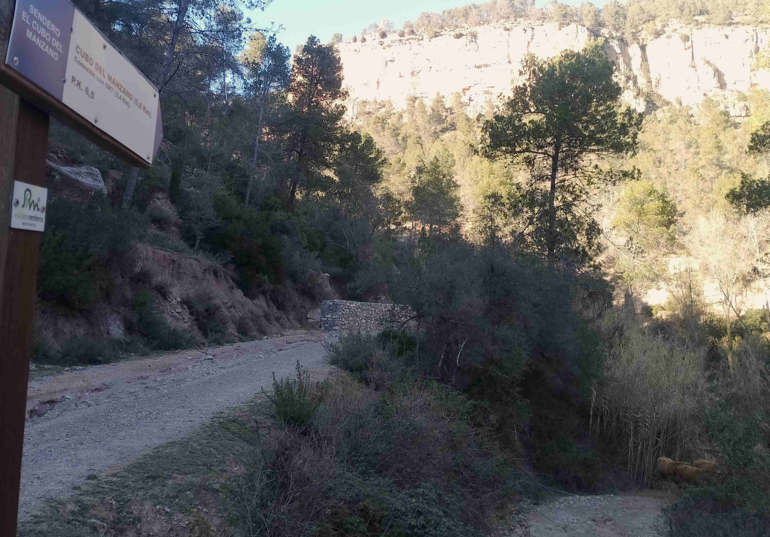
Heading up towards the imposing limestone cliffs, turn off right onto a track which descends, following the blue sign for the Cubo del Manzano route. It tells us that it is 3.4km to the connection with the GR-7 footpath; most of this is a long ascent on a wide track which is not particularly steep.
At first, the track bears round to the right to follow the other side of the ravine with some very impressive rock formations to observe en route. The track then starts the gradual climb up the hillside. It feels like a very long ascent on tired legs.
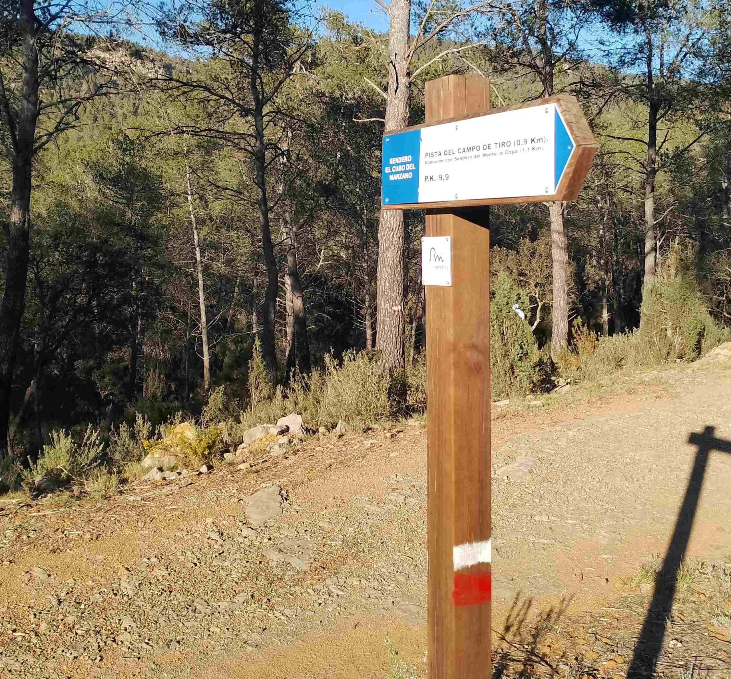
Eventually, the climb comes to an end at the signpost which points right off the track, now moving onto the GR-7 with the white/red waymarks, as well as the blues of the Cubo de Manzano route; this sign points for the Pista del Campo de Tiro (path to the firing range).
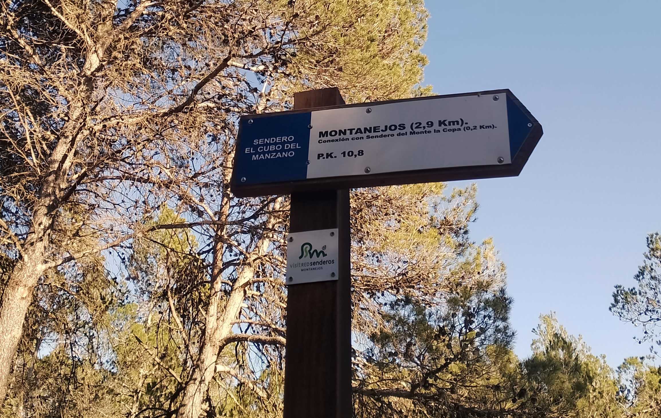
Ascend on a pleasant path into the forest. After around 10 minutes of climbing, it levels out and continues through the pines. Emerge at a point in the trees where a sign tells us to turn right for Montanejos, which is 2.9m distant. Now on a forestry track, the route heads into a clearing where a path leaves on the left. There are plenty of waymarks, and a new sign appears here telling us to turn right for Montanejos, which is 2.7km away on the blue route (also GR-7).
The path is now heading downhill, with waymarks for the GR-7, which are white/red. The footpath traces its course down the mountain for just over 1km; emerging at a track. Turn left for Montanejos (1.6km).
Follow the waymarked path down, then onto a surfaced lane for a short distance, before bearing right for the final descent through the pines. Emerging from the trees, turn left and then left again to reach the road. Cross the bridge over the River Mijares and bear left to walk into Montanejos.

Recent Comments