Anyone using public transport to get to Bielsa, and those who prefer to park up in the village, will need to walk a stage of the GR-11 trans-Pyrenean footpath to get to the Chistau valley.
It is always a joy to get onto the GR-11 and this is a good opportunity to see part of the route.
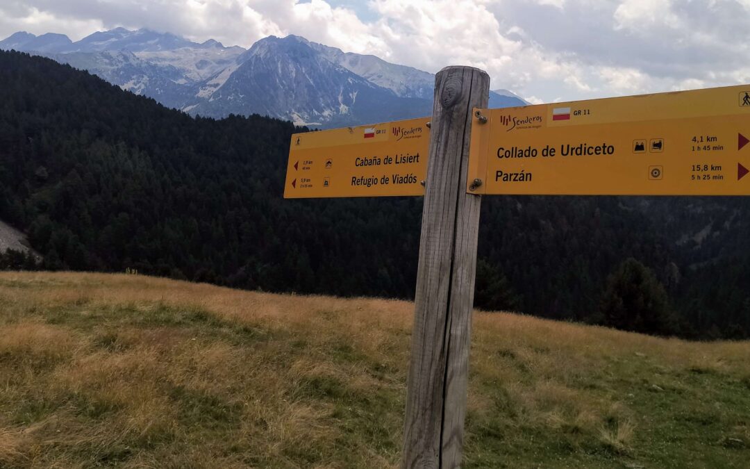
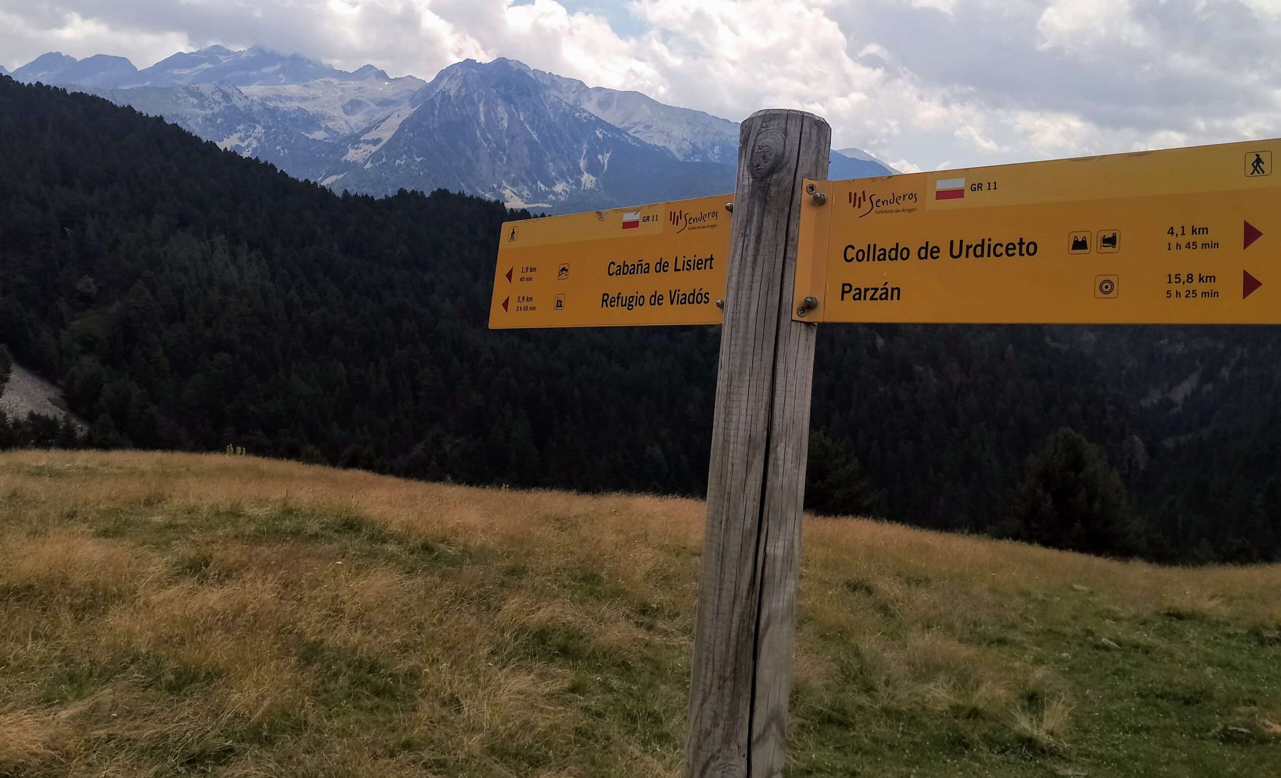
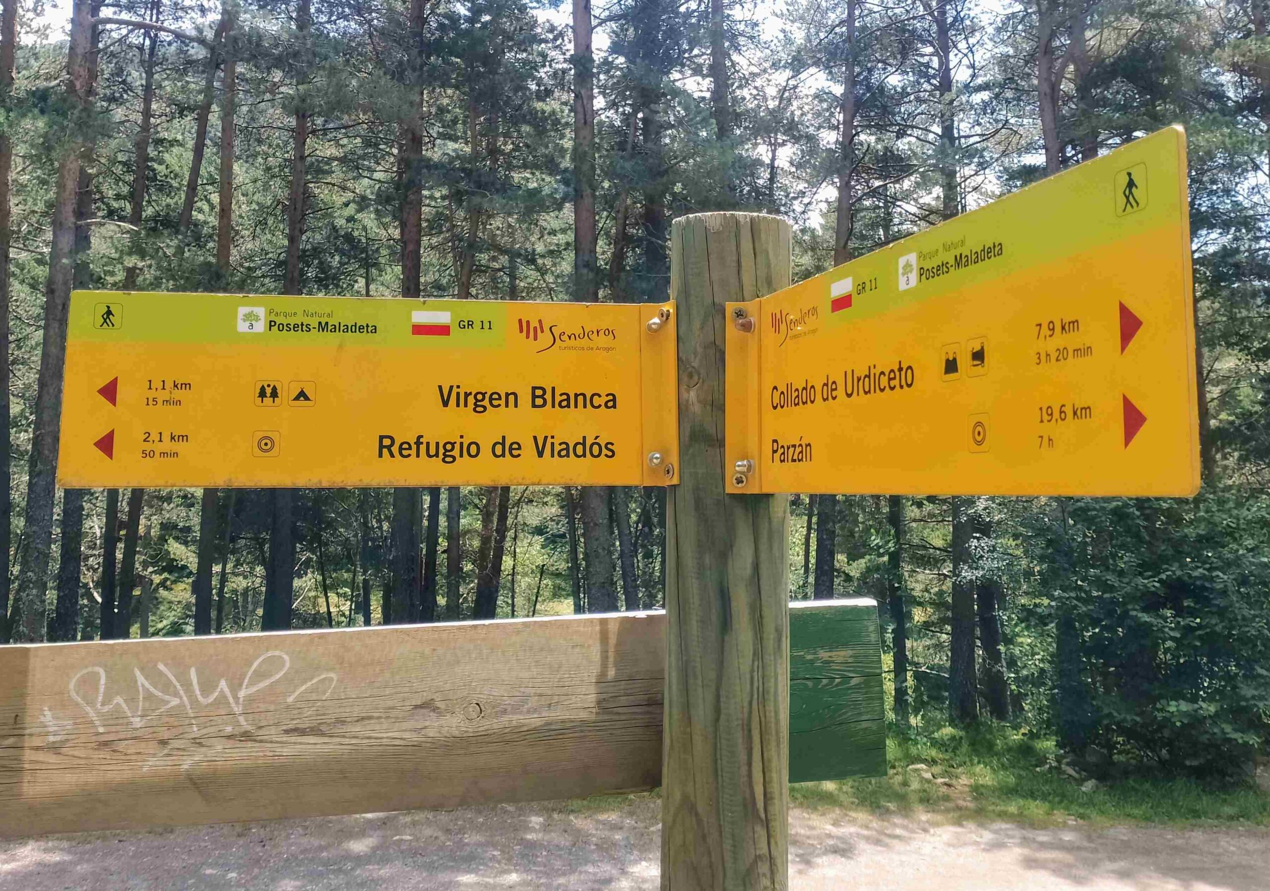
And it’s a good hike, with the day officially starting in the village of Parzán, and ascending to the Urdiceto pass (also Ordizeto) at 2,314 metres, then dropping down to the top end of the Chistau valley, to the Virgen Blanca ‘outward bound’ site, El Forcallo campsite (1,580 m) and the Viadós mountain refuge (1,760m).
The route is easy to follow, up a wide track to the pass, then down a well-walked path to reach the track which then ascends gently to the campsite and refuge.
The Travesia Pirenaica website records the stage from Parzán as 21.7km with 1,580m of ascent, while the Aragón government walking site has it down as 22.4km with 1,500m of climbing (it should be noted that far greater discrepancies exist on other stages).
It’s just under 4km from Bielsa to Parzán.
The walk
The ‘publics’ and many others will set out from Bielsa, as there are very few options to park a vehicle in Parzán and there is more accommodation in Bielsa.
There is a footpath covering part of the route, allowing walkers to avoid an unpleasant road tunnel.
Walk out of the back of Biesla, heading towards France, passing to the left of the church, then bearing left to ascend on the HU-V-6402 road. There is a pavement on the left.
Keep climbing on the road, noticing the large car park below on the right. The road comes to a sharp dogleg bend. See the footpath sign here for Parzán.
Head up the bank and into the trees for the shady traverse.
The path eventually drops down to the main road and it’s necessary to walk along the road for around 2km to Parzán (take good note of where the path emerges; you will want to take the path on the return leg from the Chsitau valley to avoid the road tunnel and there is no sign at this point).
On reaching Parzán, there is a roadside bar and restaurant if you need a quick breakfast stop.
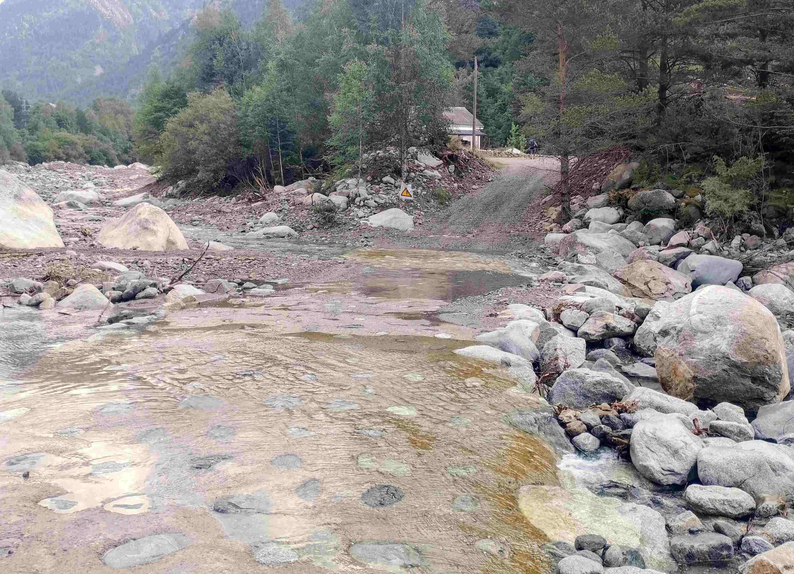
It is another 1.5km along the road to reach the sign for Lago Urdiceto; turn off right soon after to cross the Barrosa river; it would be shoes and socks off at this point after heavy rain (see photo).
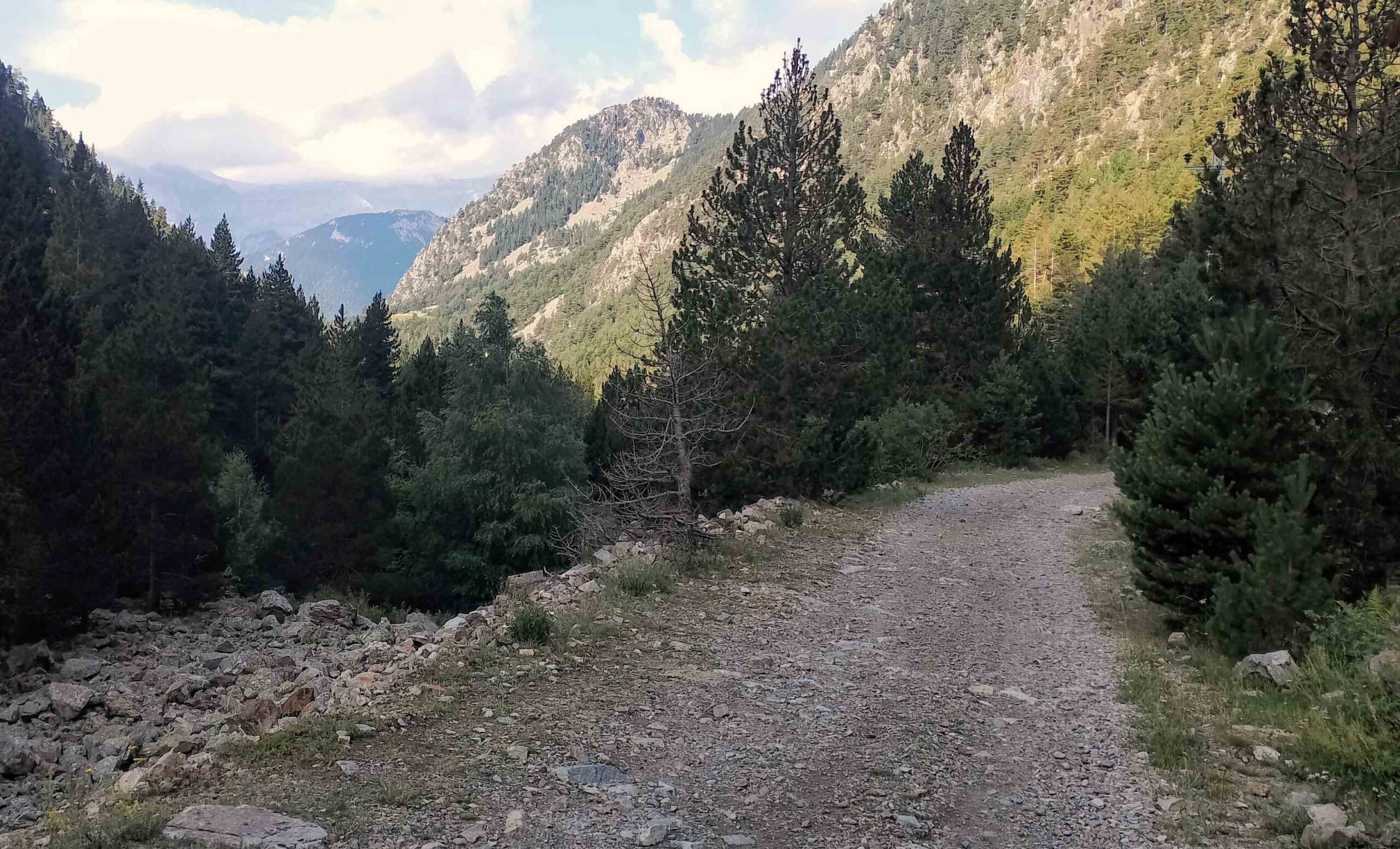
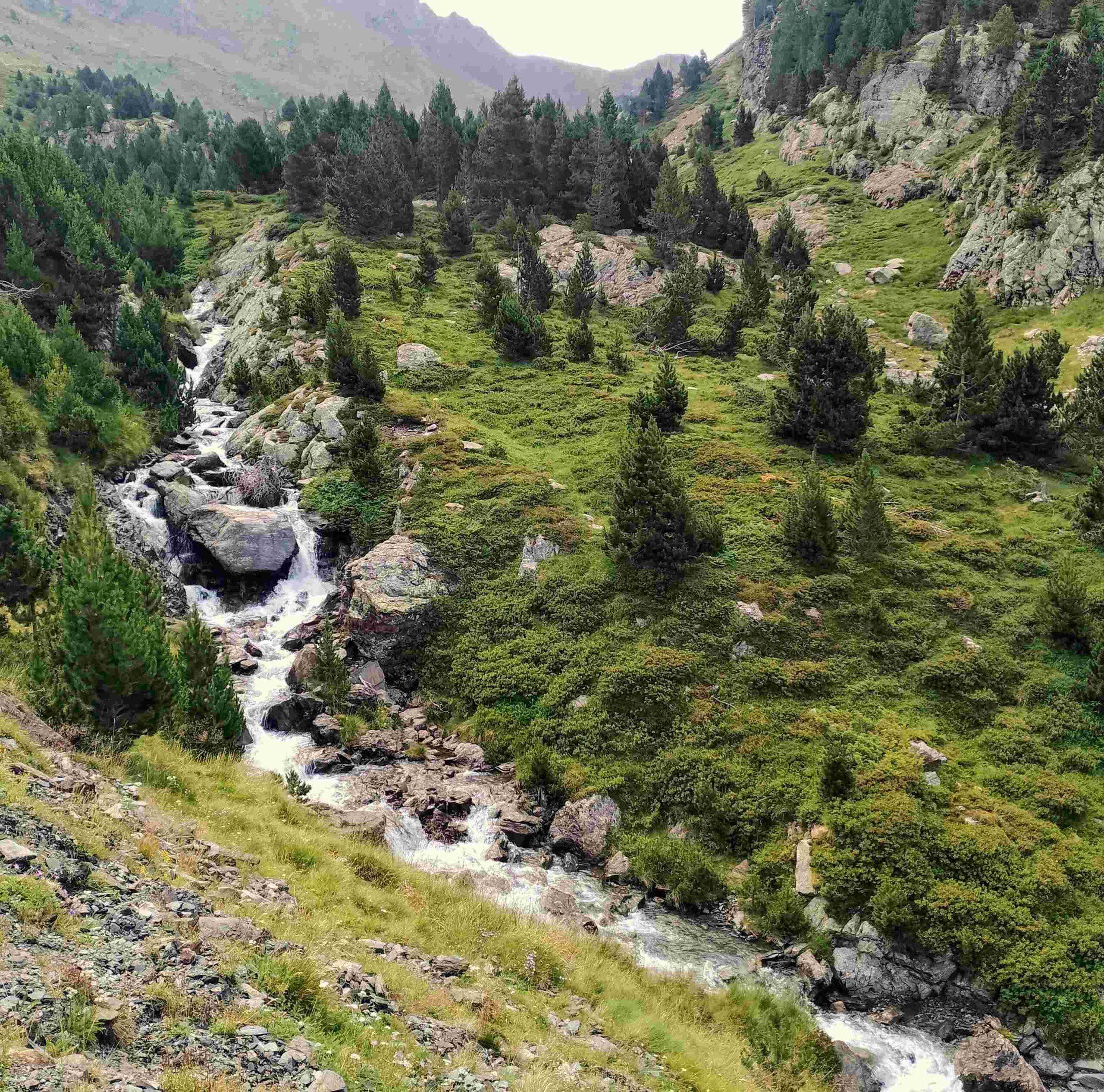
The wide forestry track then starts the 10-km-long climb up the side of the Urdiceto (also Ordizeto) ravine to the pass of the same name.
Parzán stands at an altitude of 1,220m and the pass is at 2,314 metres.
It’s a pleasant ascent, through the forest, with shade available for much of the morning.
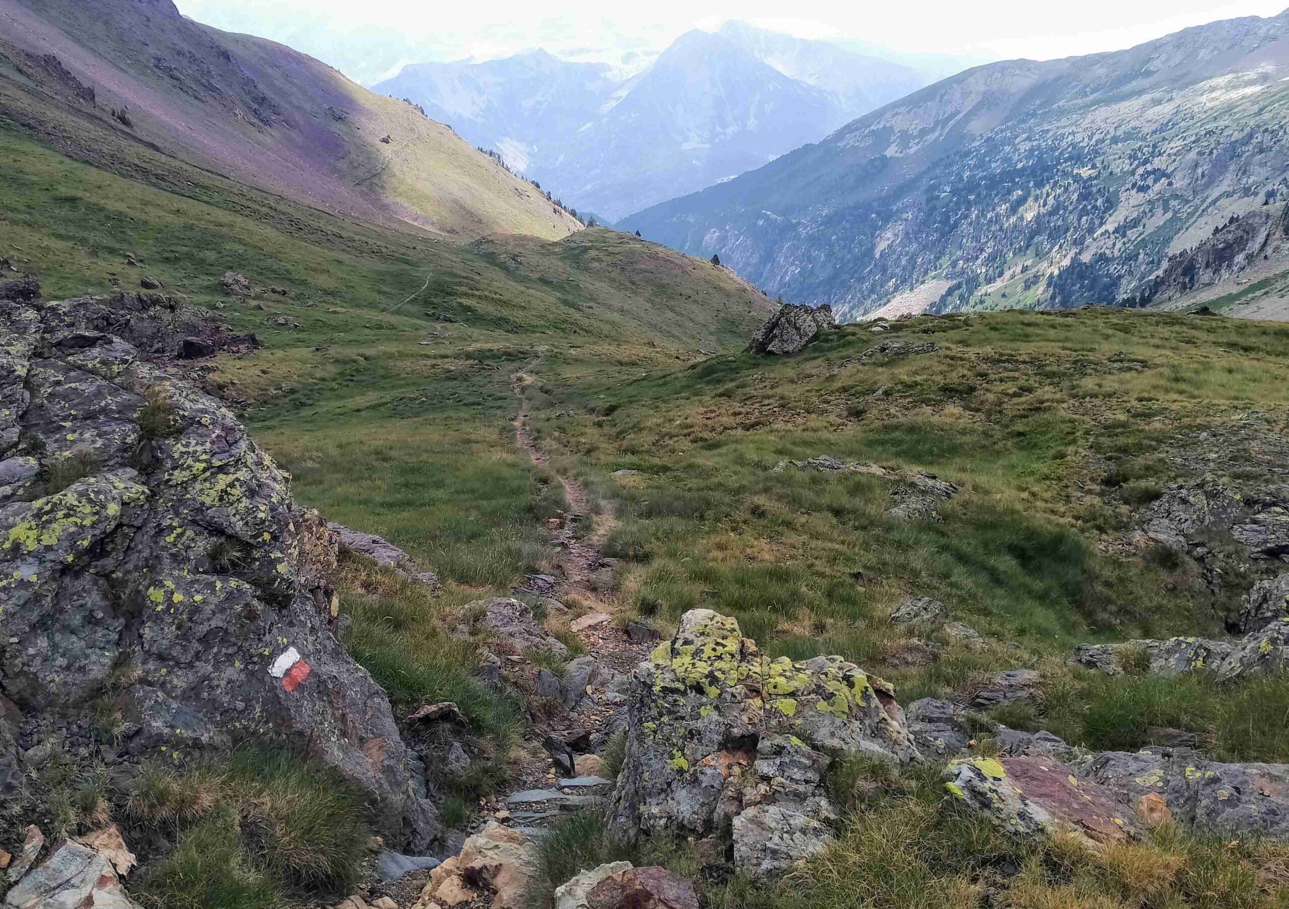
The route is well signposted and white/red waymarks appear at regular intervals.
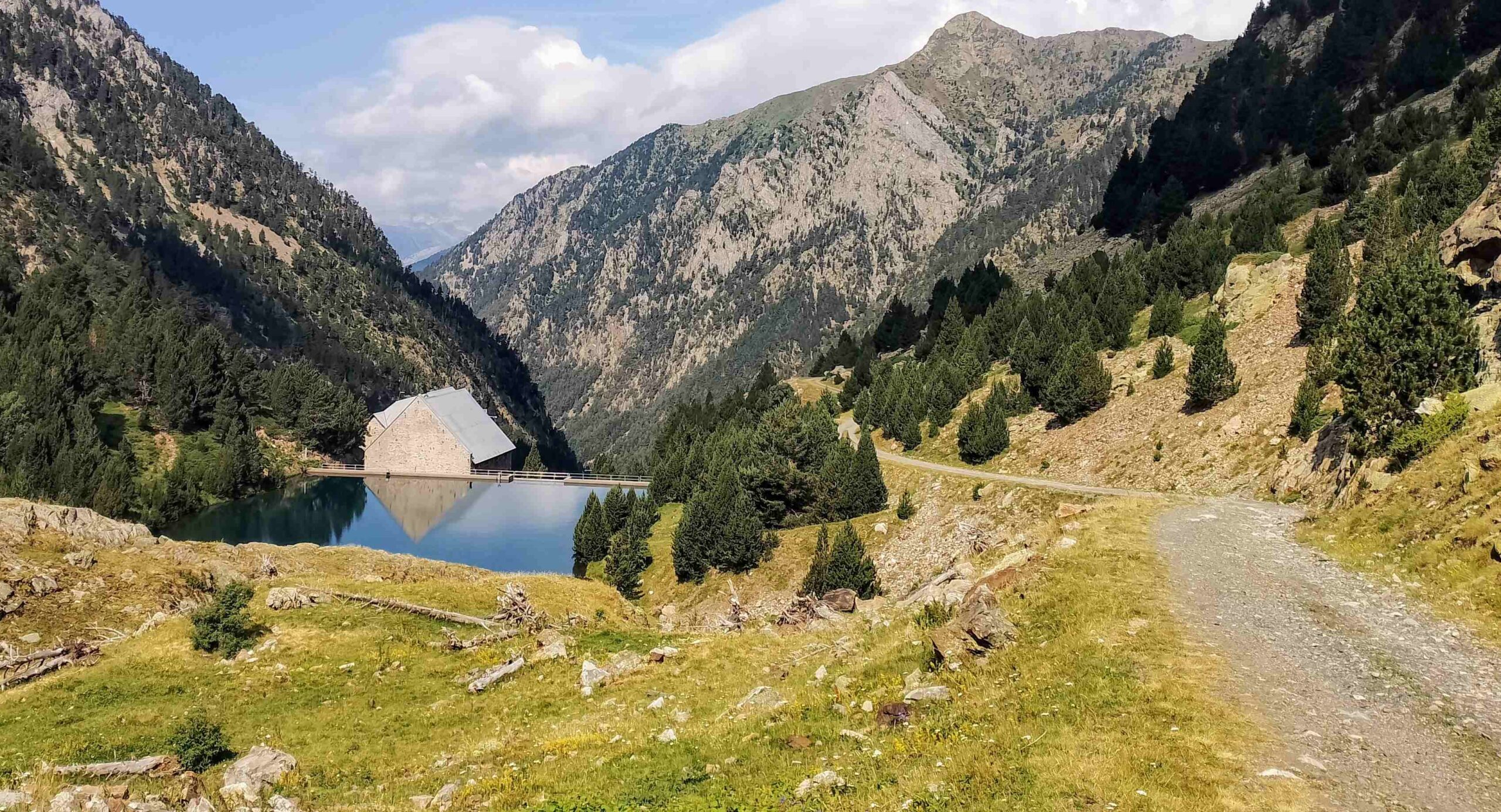
Around 2.5km short of the pass the route reaches the small hydroelectric station and dam of Urdiceto; the despoiling of the natural world here is low scale and the old station almost manages to blend into the surroundings.
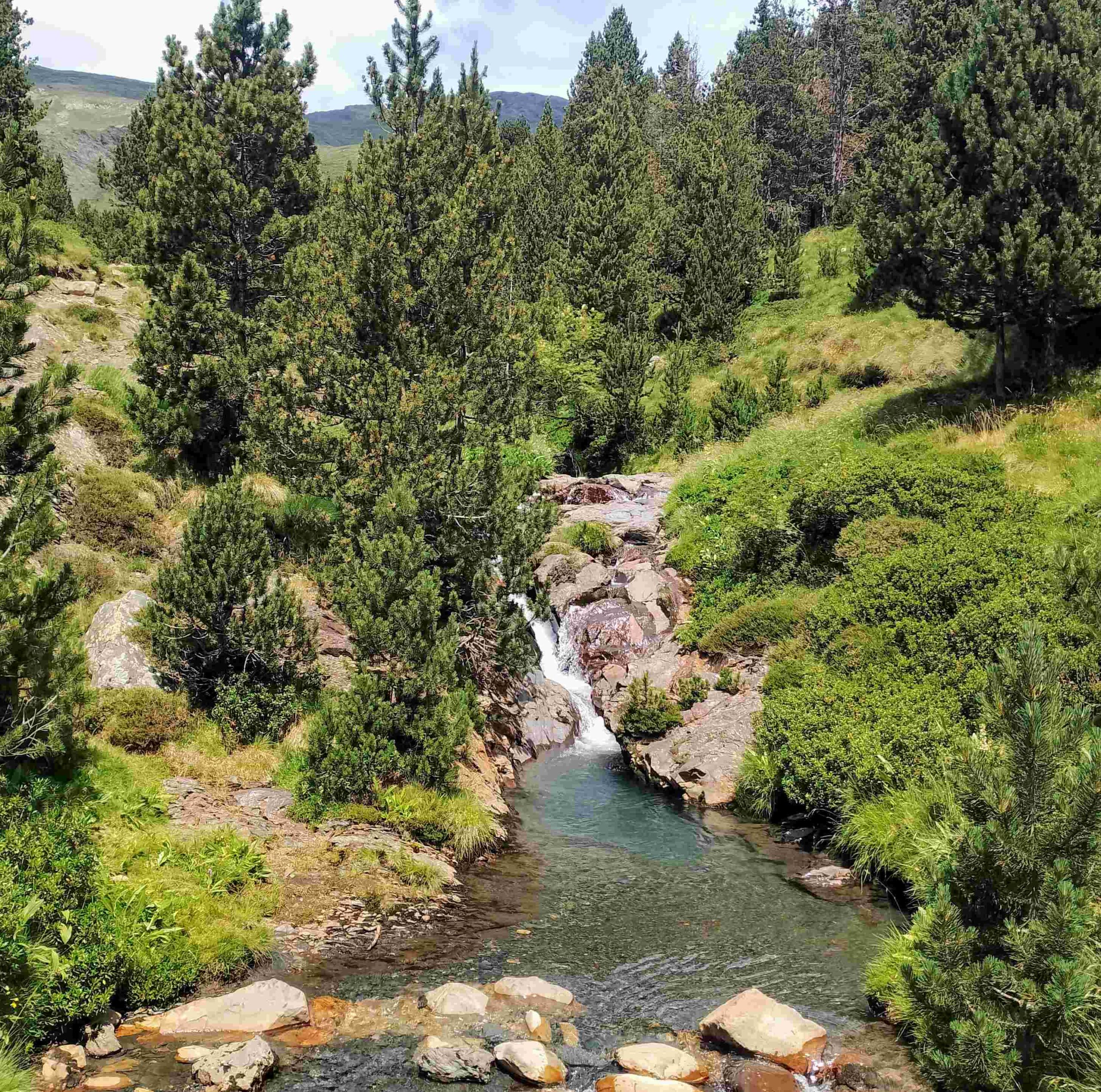
The track continues, now following the left bank of the stream which plunges down from the mountain to the right of the pass.
Then the GR-11 bears right to take a more direct route up the verdant ravine, with the final climb to the pass steep but not punishing.
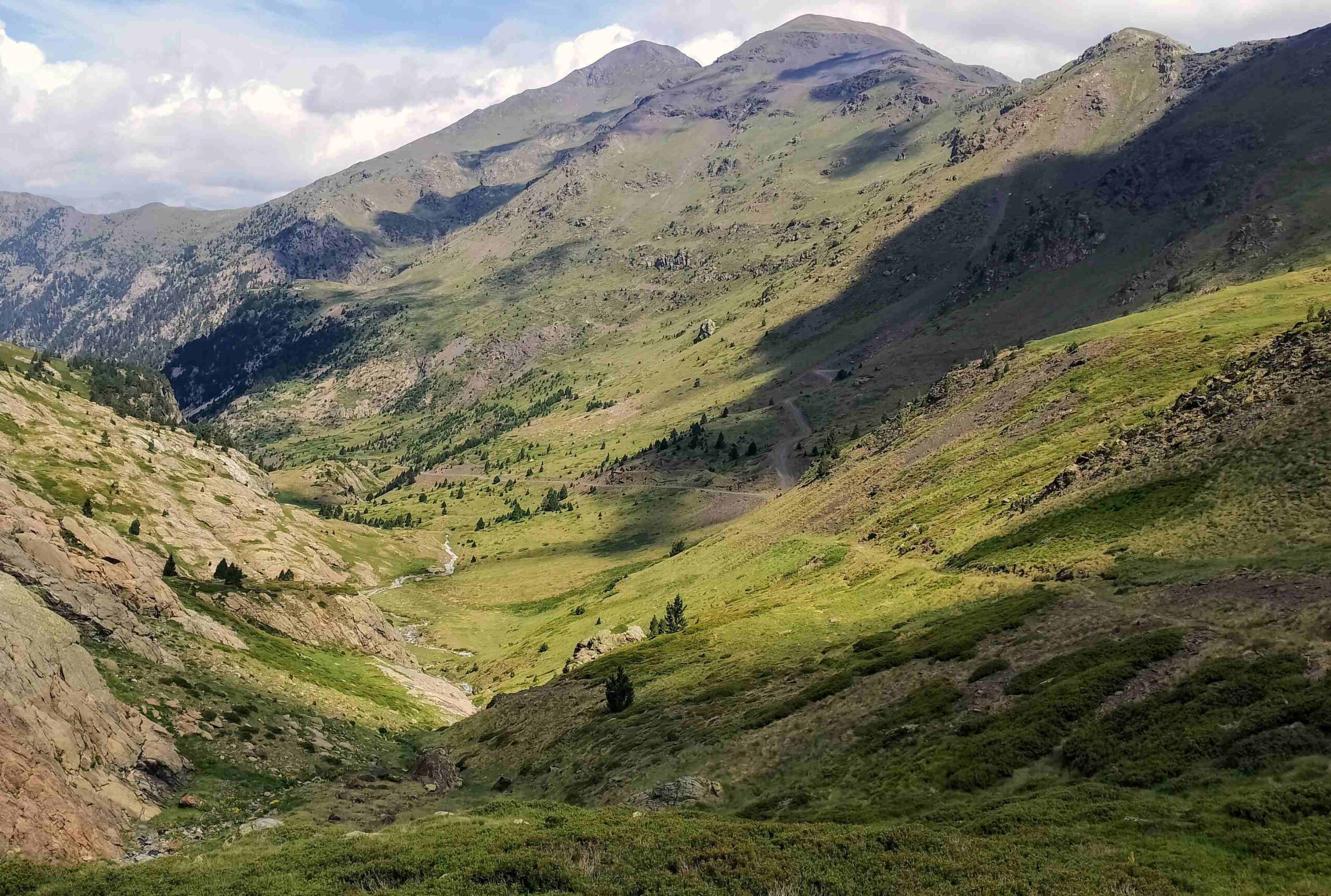
Emerge at the Urdiceto pass at 2,314 metres. It stands below the impressive Punta Suelsa peak (2,972m); snow remained on parts of its flanks in mid-July.
There are great views to the summit and the even higher peaks of the magnificent Posets massif in the distance.
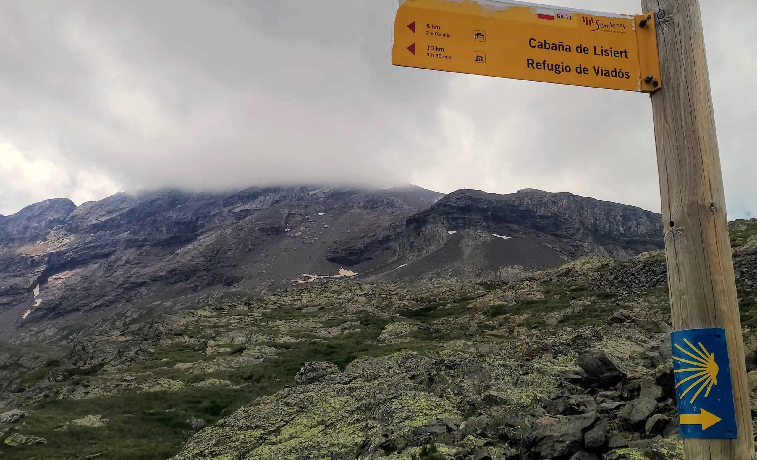
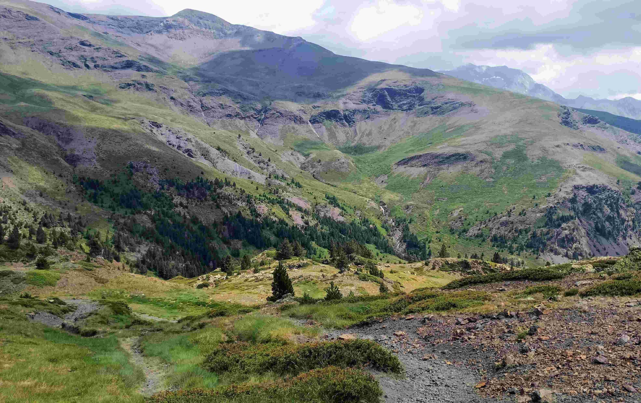
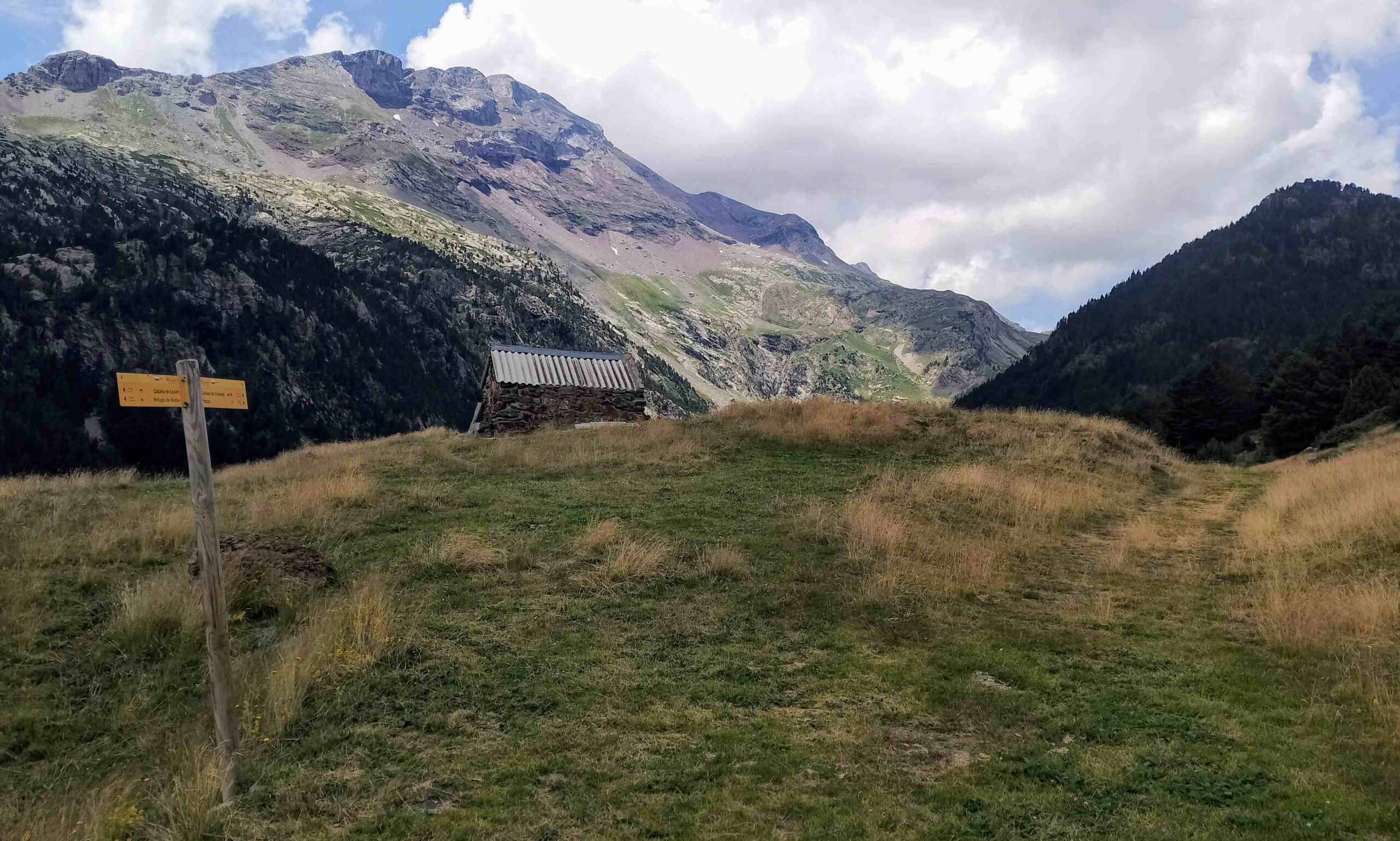
A sign explains that it is precisely 10km to go to the Viadós mountain refuge. After the initial few metres of steep slope, it is a very pleasant descent; lush and green.
The path rises slightly to the Pleta el Cau, where the views of Posets become even more spectacular.
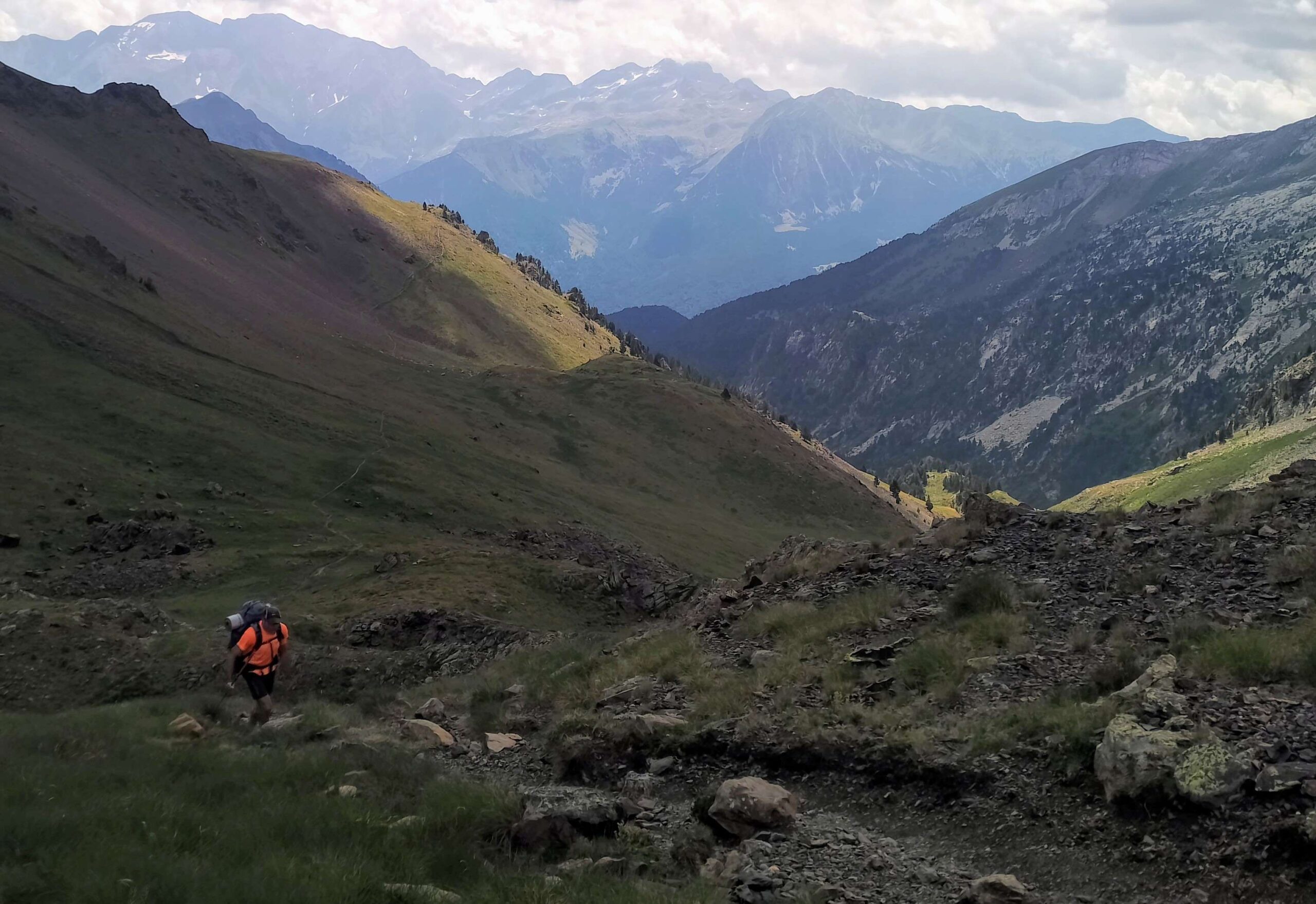
Then the descent becomes steeper as the path heads into the Montarrueogs ravine.
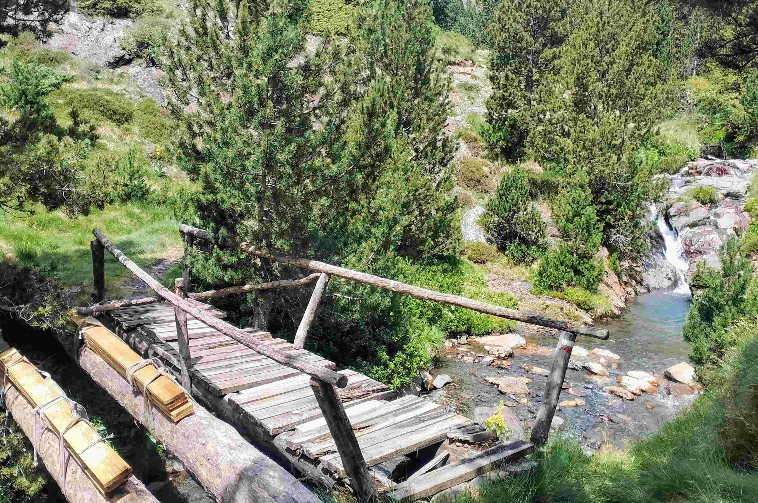
An old footbridge crosses the stream at the bottom; repairs are imminent. The going may become muddy and wet over a small area after the bridge, with cows churning up the ground.
The path passes to the left of the Sallena cabin, then it’s down to another flatter area.
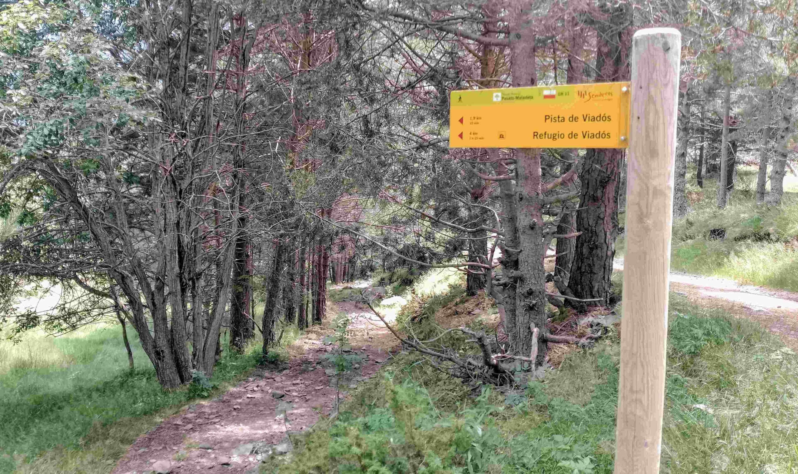
The path turns into a track after the Lisiert cabin and passes some rural dwellings as it makes undulating progress through the forest to meet up with the wide unsurfaced track which climbs up from the village of Plan.
Turn left at the track, which ascends gently to the Virgen Blanca and on to El Forcallo campsite at 1,580m; and to the Viadós mountain refuge at 1,760m.
Recent Comments