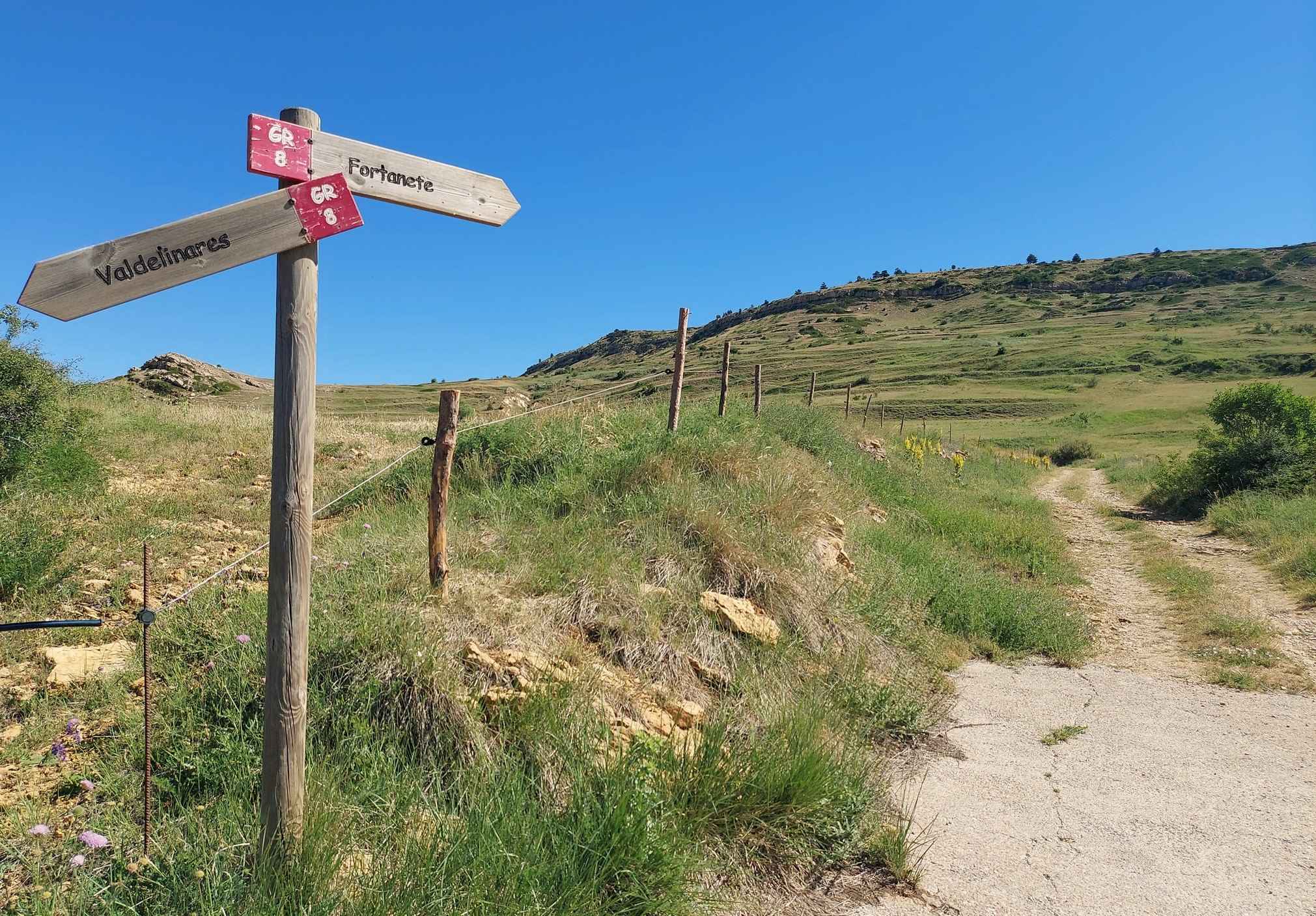
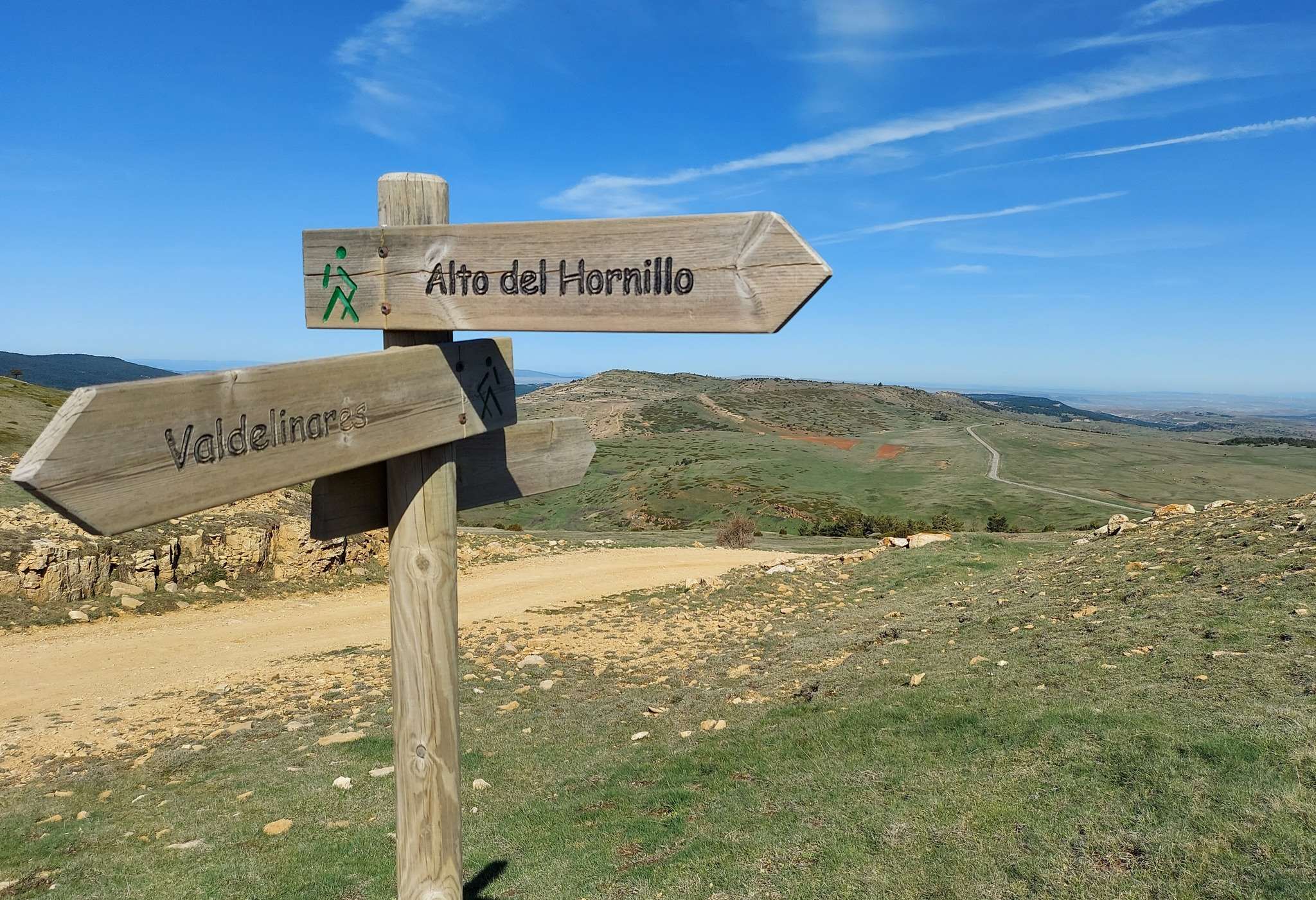
Once again it is the GR-8 long-distance footpath which is our meat and drink, providing the basis for a couple of walks from Valdelinares. The closest very high spot is the summit of Alto del Hornillo which, the trig point at the top tells us, is 2,002 metres above sea level. Handily, it is just off the GR-8.
With Valdelinares at 1,692 metres, it is not a huge climb to reach the top of this mountain; with less than 350m of ascent. It’s a rare opportunity to ‘bag’ a 2,000-metre peak without any suffering. It is also a very pleasant walk on wide cattle trails to a rounded summit.
There are fantastic views from the top over this high-mountain land – across the rolling pasturelands and other summits in the area. And you may be lucky enough to see a kettle of griffon vultures soaring on the thermals, searching for carrion. As an aside, when vultures are perched in trees they are called a committee, a venue or a volt. And when they are feeding they are a ‘wake’. The birds only become a kettle of vultures when they are in flight, thanks to weird and wonderful collective nouns.
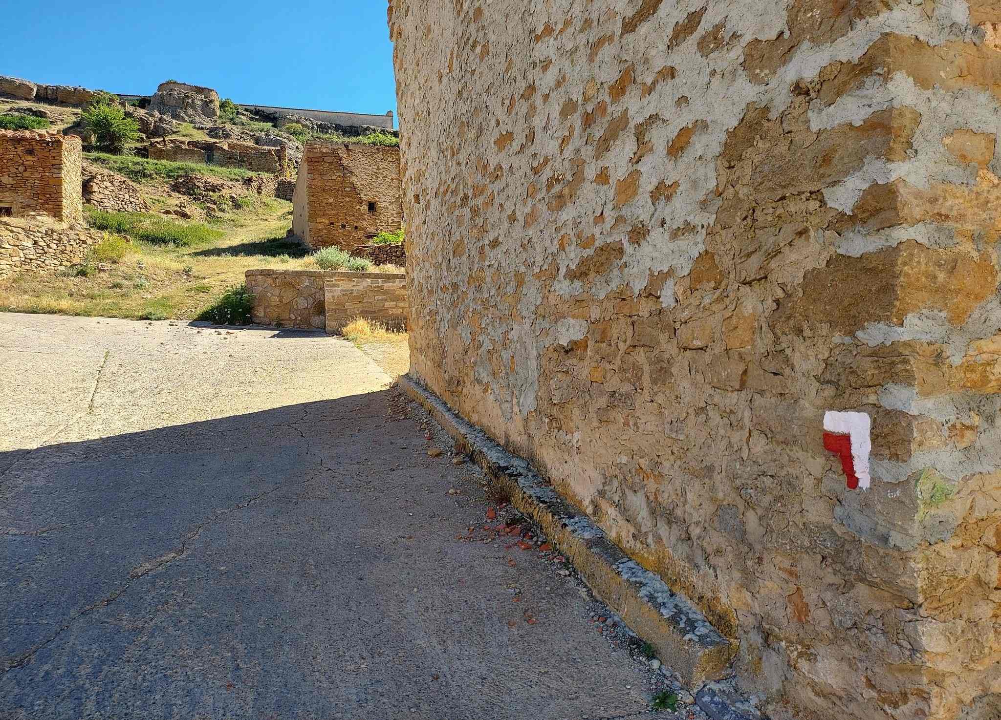
The GR-8 enters Valdelinares from Fortanete and leaves it heading for Alcalà de la Selva. For the Alto del Hornillo we want the route heading back towards Fortanete. To find the waymarks, set out from Plaza de la Iglesia; there is no trickery involved – this is the square which is home to the village church (and several of its hostelries). Leave the plaza on Calle Teruel, passing Hostal Damián on the corner. It’s just under 200 metres to the spot near the bus stop, where the GR-8 can be picked up. Turn right off the street. There is a waymark on the wall to indicate the spot. Ascend on the surfaced lane which runs parallel to Calle Teruel below.
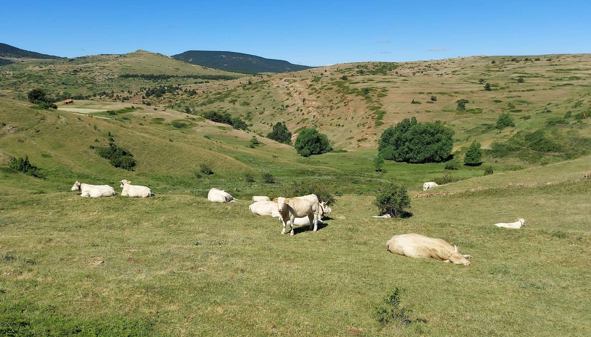
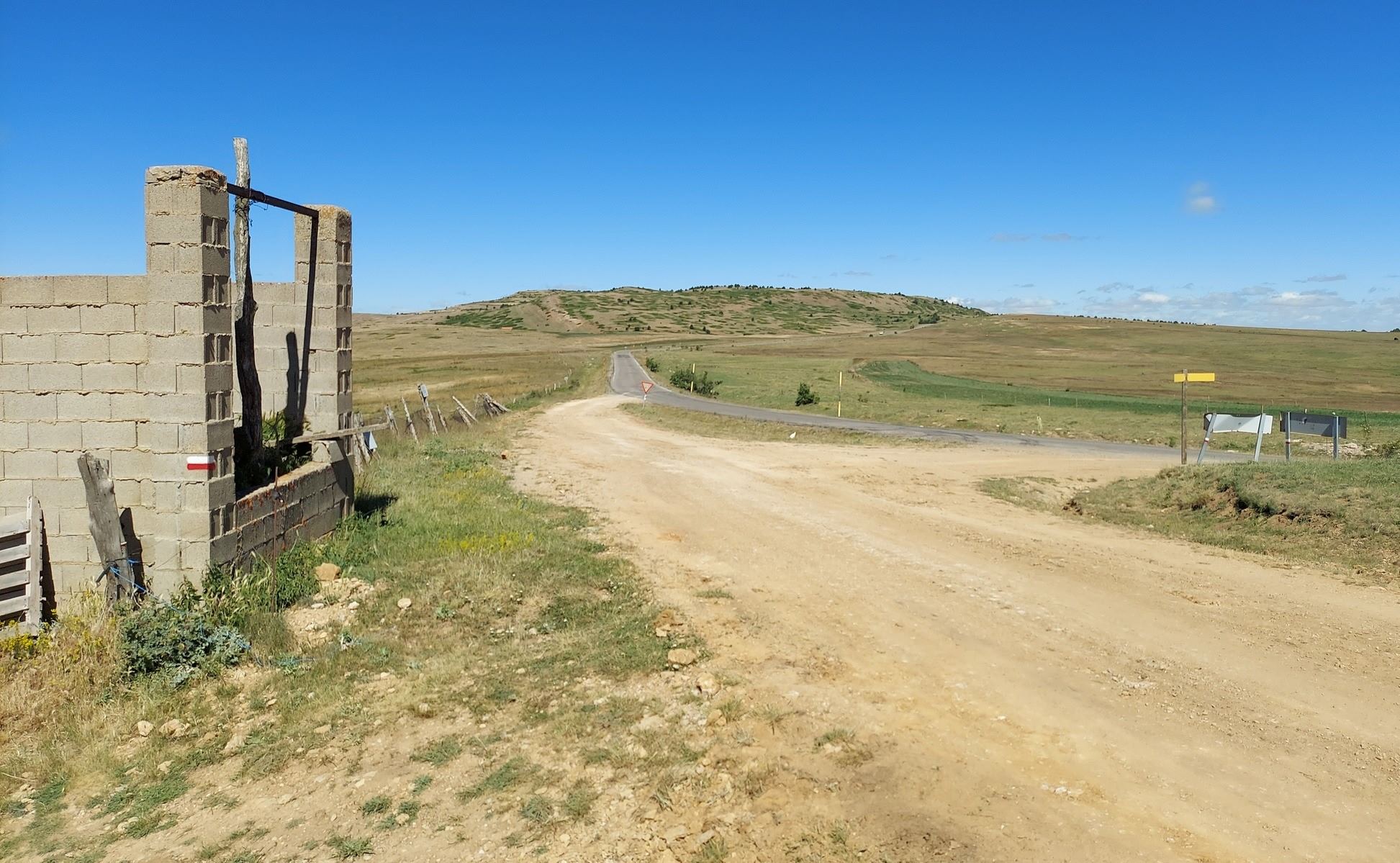
Walk up to the vantage point, where there are signs, and a good view back over the village and across to the mountains which are home to the local ski slopes. The GR-8 sign points uphill for Fortanete. Take the wide track which ascends through cattle country. This is the land of the cow. They are everywhere, but the area is so expansive that the livestock herds seem rather inconsequential. The route traverses the high pastureland and reaches a farm building which is still under construction. This is where we turn right to leave the GR-8 behind.
The track heads uphill; it is also a livestock trail used for moving cattle to pastures new. It is around 1.5km from the turn-off to reach the Collado del Frío (the cold pass) at 1,942m. On the winding ascent the views over the surrounding countryside get better and better. At several points it’s enjoyable to stop to take a gulp of pure mountain air while gazing over the landscape. It’s around 140m of ascent from the farm building to the pass.
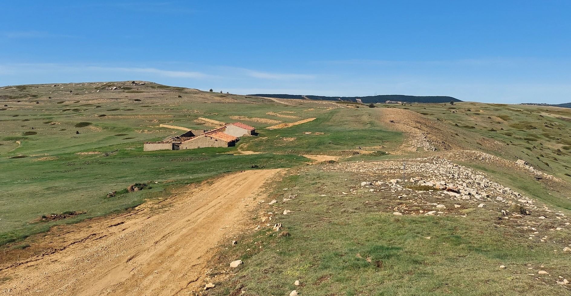
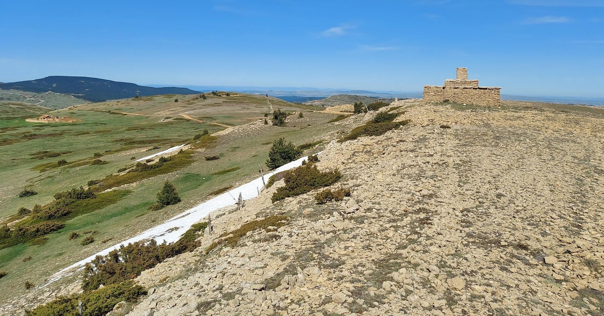
At the pass there are farm buildings on the right. Take the left turn to head for the summit. It is just over 1km on the wide track to reach the top. With only another 60m of altitude to gain over this stretch, it’s a gentle stroll rather than a lung burster. On the way, pass an abandoned ‘masía’ farmstead on the right.
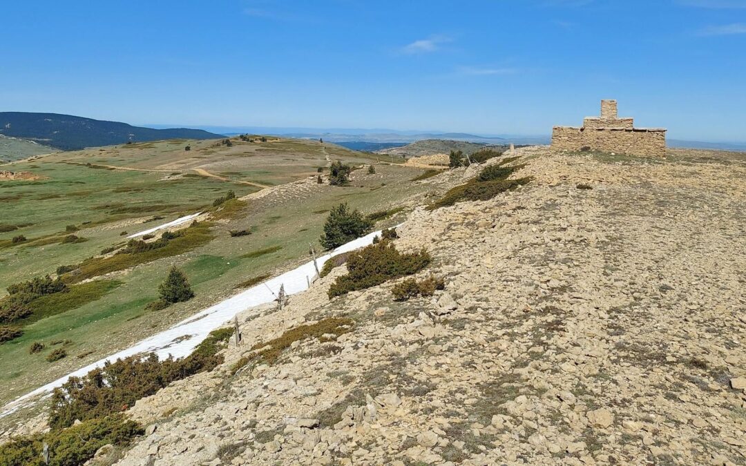
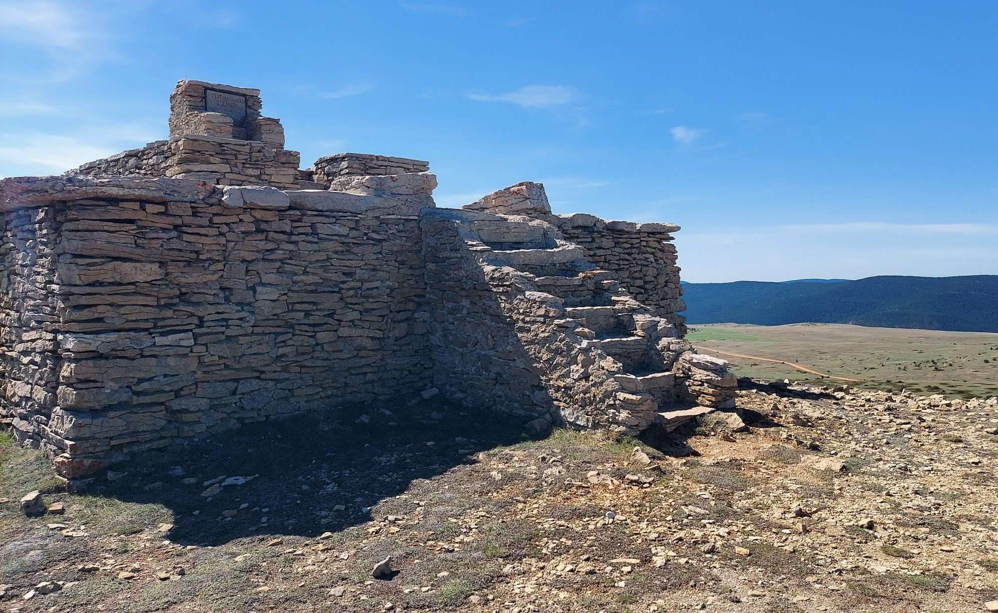
The unusual stone construction on the summit takes shape on the approach, as the track bears round to the right. There could be snow up here for around six months of the year but it would only really prove problematic in the winter. My ascent was done in May and the snow was a welcome sight; handy for cooling down on a warm day.
It is not easy to imagine many uses for the stone structure at the summit. It is solid and can’t be entered, so it is not a shelter; but could serve as a lookout post. Perhaps it was built to push the mountain over the 2,000-metre mark. The only certainty is that the views are magnificent and it is worth having a sit down to contemplate the surrounding area from on high.
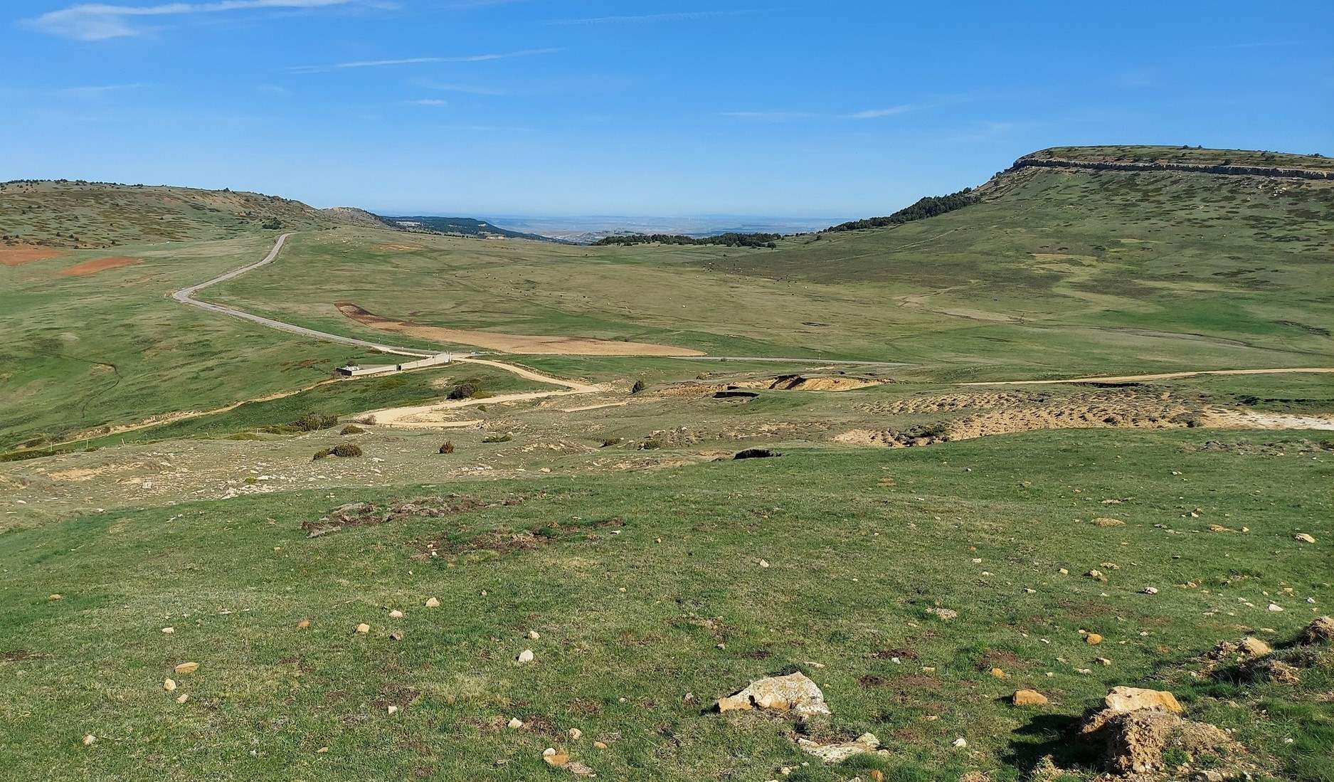
The walker may also fancy a wander around the summit zone. The land is gently undulating and does not lose much height over quite a wide area. There are tracks and some people will feel the need to explore before heading back. To return to Valdelinares, head back to the Collado del Frío on the same wide track. At the pass, bear left to follow the wide track as it descends. This is a good spot to see griffon vultures soaring overhead, so keep your eyes peeled. The track drops down to a junction – bear right here. The track is now heading across an almost flat area, which could be farmland as it is partially tilled.
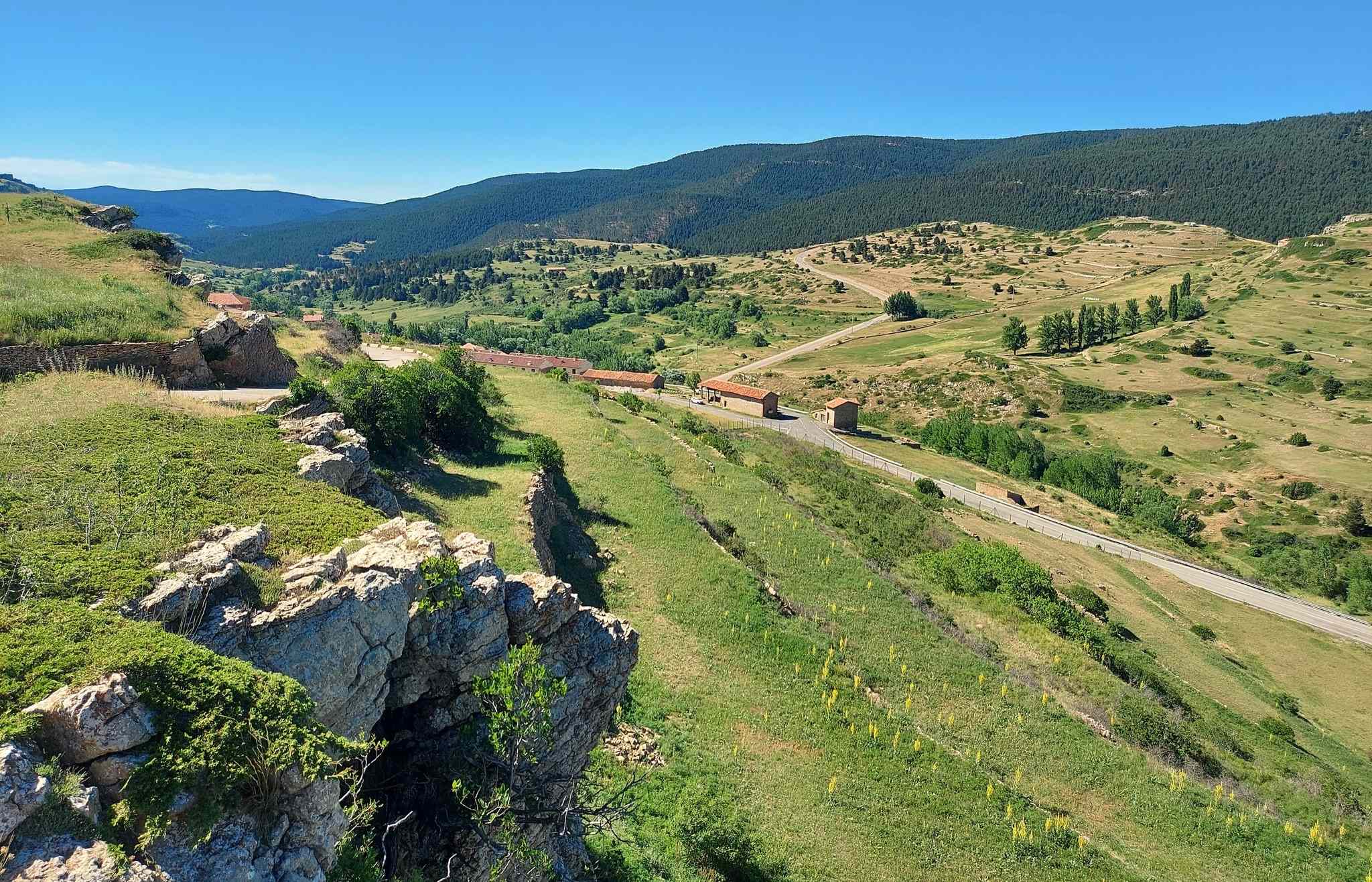
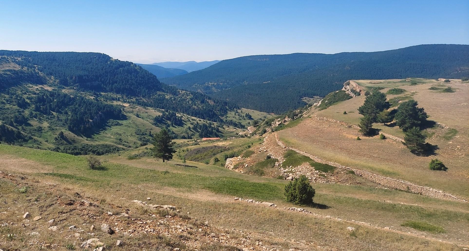
As the track heads over a rise, a spectacular view opens up of the valley which runs up to Valdelinares from lower altitudes. Keep on the main track, with views to admire, until the route meets up with a wider track. Turn right here to start the winding descent to Valdelinares. It’s a gentle slope once again and this allows for plenty of gazing over the surrounding countryside.
The village appears below and we follow the wide track which descends in a leisurely fashion. Some walkers may be tempted to take shortcuts between switchback sections of the track. The route enters the back of the village at the Fuente del Vallejo natural spring. From here it is a short distance to get back to Plaza de la Iglesia, with its church and bars.
This almost circular walk of around 9km has a height gain of around 350 metres. A map can be seen on the GR-8 interactive site at https://senderosturisticos.turismodearagon.com/senderos/gr8
Our stage is ‘etapa 11’ – Fortanete-Valdelinares
Recent Comments