Following a stream up a wooded ravine, this route makes use of the GR-11.2 footpath as it ventures into the Posets massif.
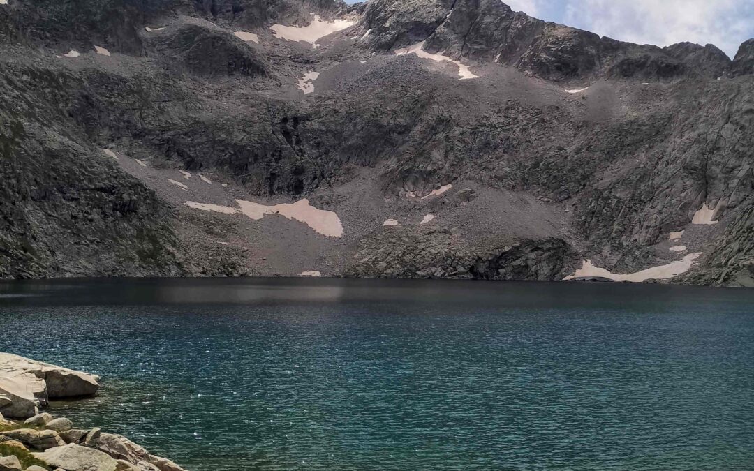
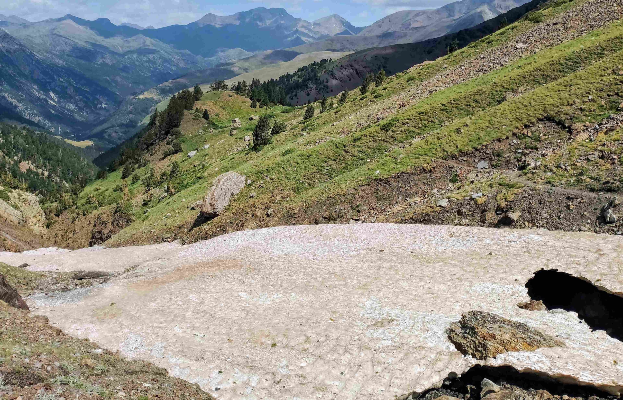
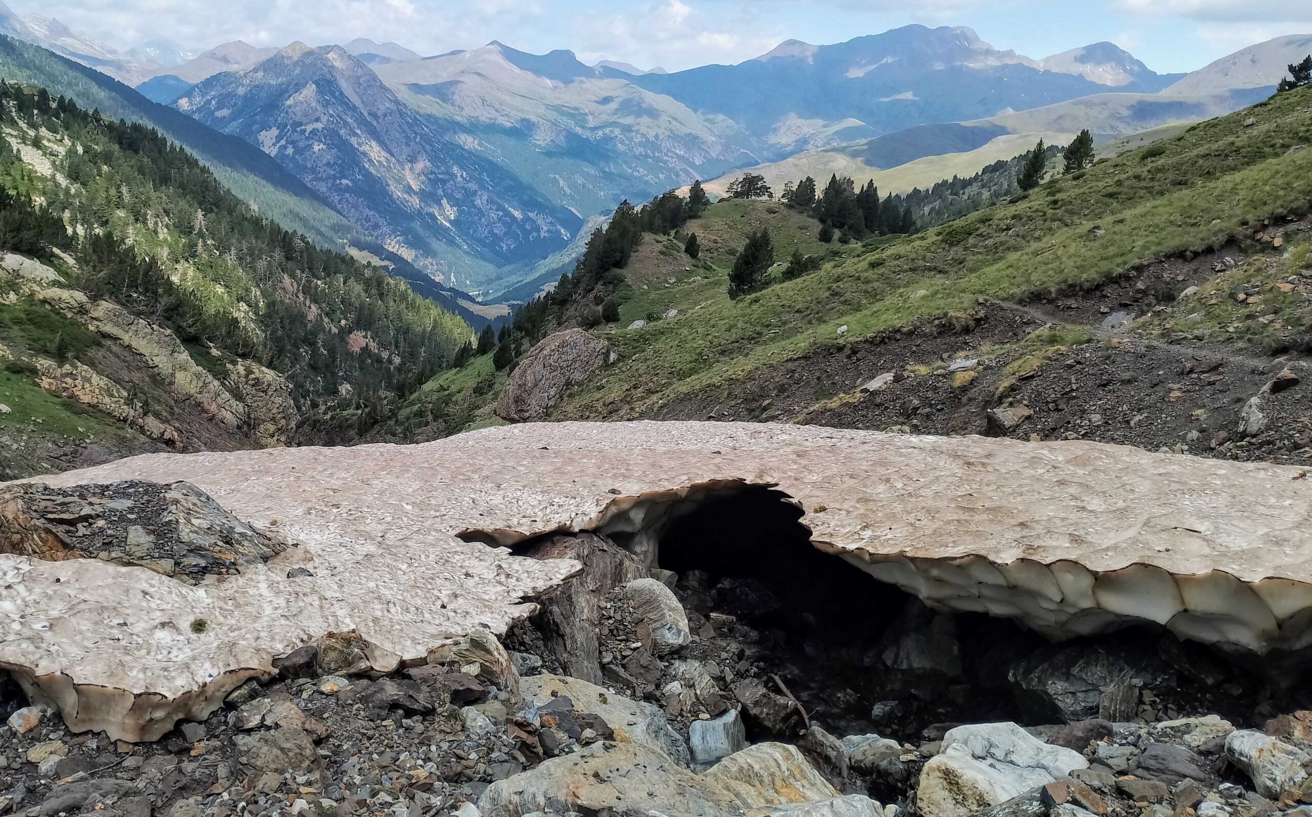
In mid-July, areas of deep snow remained in the upper reaches of the north-facing Val de la Ribereta, with the waymarked path ascending towards the lakes.
However, the snow did not impact on the route and it feeds the stream with a steady flow of melt.
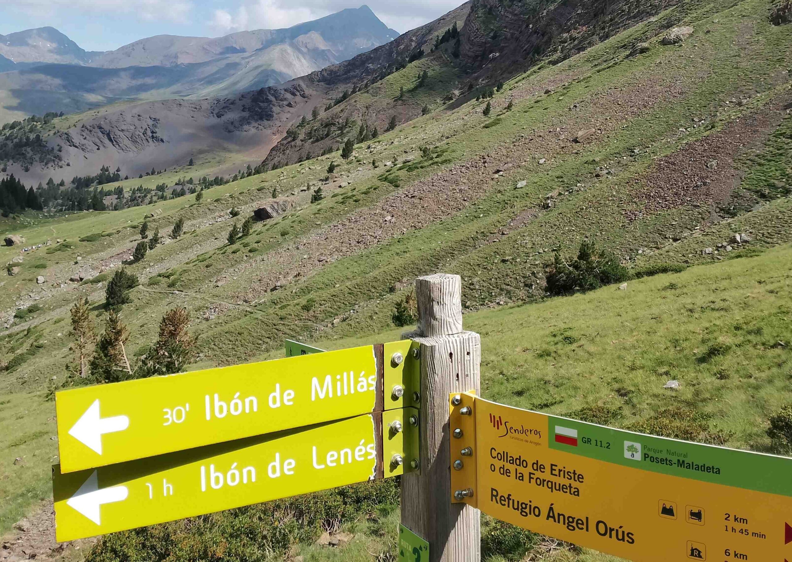
It is an interesting ascent on a good path, which turns off the GR-11.2 just before it embarks on the very steep ascent to La Forqueta pass at 2,864 metres.
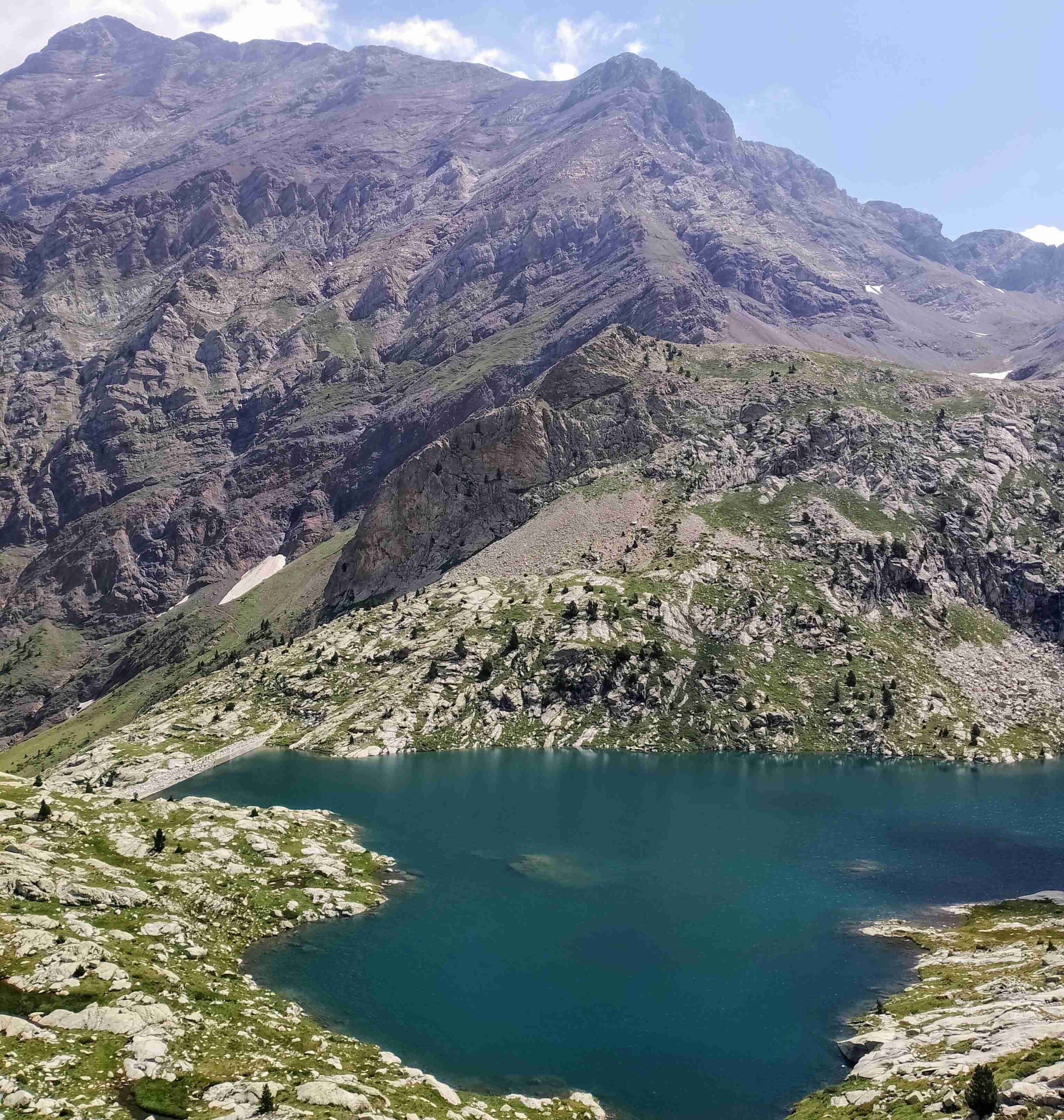
Our route is less challenging climb to the Millars (also known as Millás, or Millares) glacial lake at 2,353m, which has been dammed; and then on the Leners (also Lenés) lake at 2,520m.
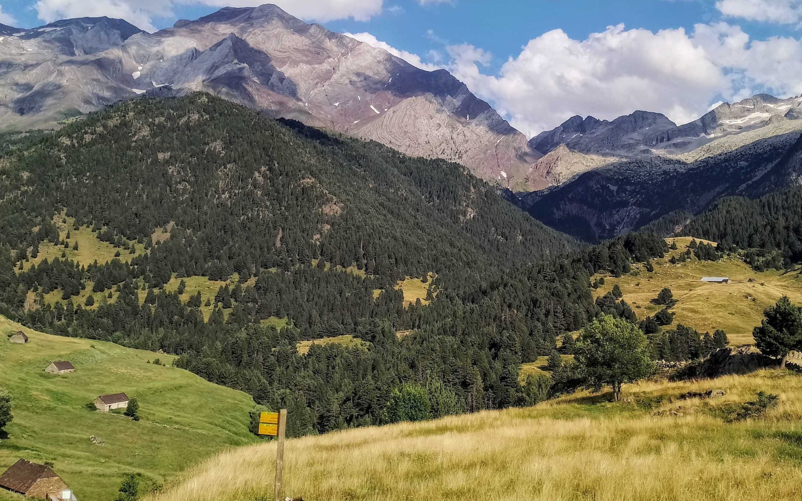
The views across to nearby Pavots summit (3,124m), which has been sculpted in ice ages, are quite spectacular.
The return is on the same path.
It should be noted that glacial lakes are known as ‘ibón’ in the Aragón region.
And, the GR-11.2 is an off-shoot of the trans-Pyrenean footpath, the GR-11.
The walk
Our route starts at El Forcallo campsite at 1,580m and ascends the short distance to the Viadós mountain refuge (1,760m) on the GR-11.
Enjoy the views across to the awesome Posets massif, with more than a dozen summits over 3,000m. Pavots mountain is dead ahead and our route up the Val de la Ribereta ravine can be seen to the right of it.
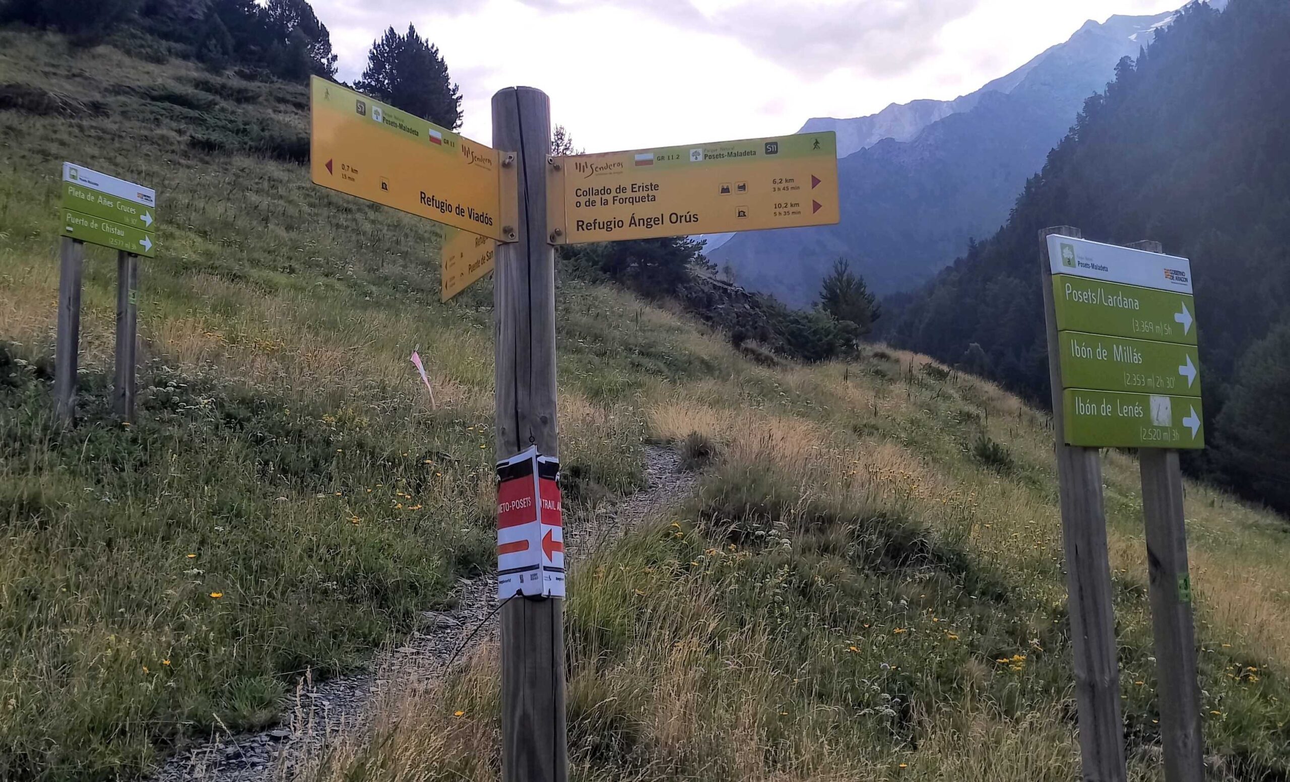
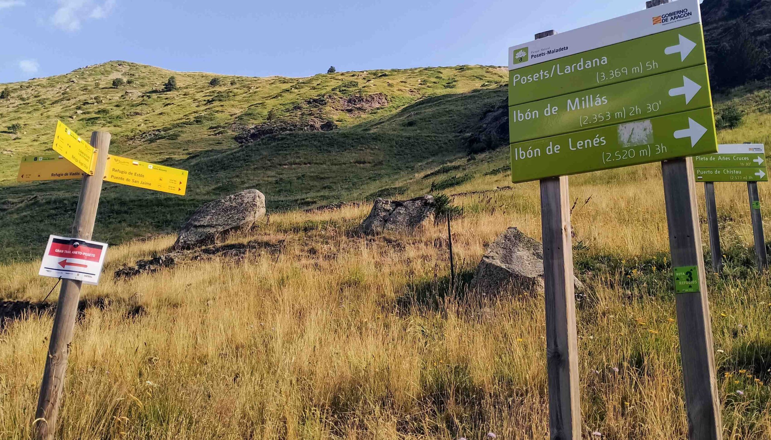
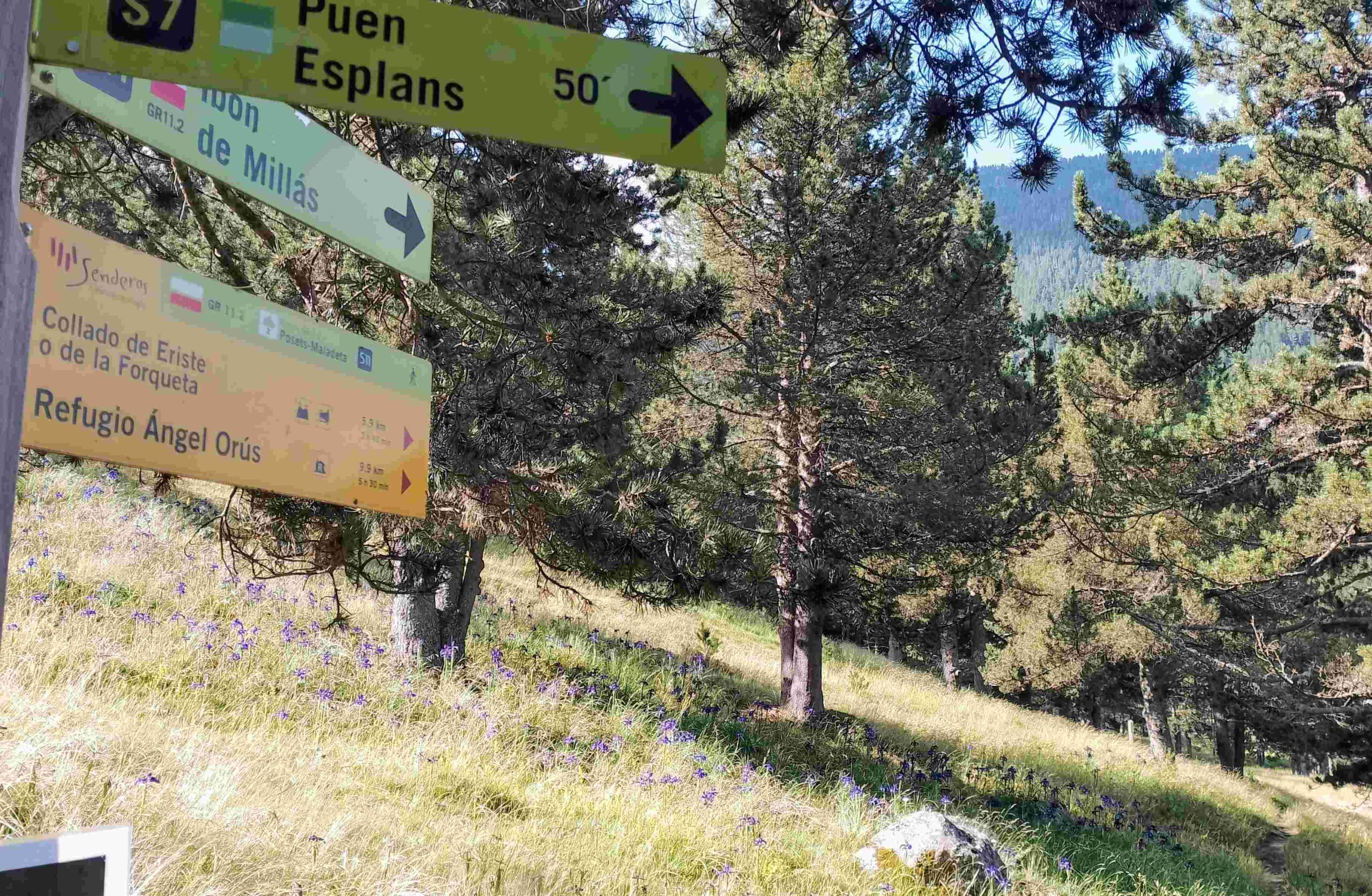
Continue on the GR-11 for 0.7km to a fork, where signposts reveal that our route for the lakes bears right, turning onto the GR-11.2 (see photos).
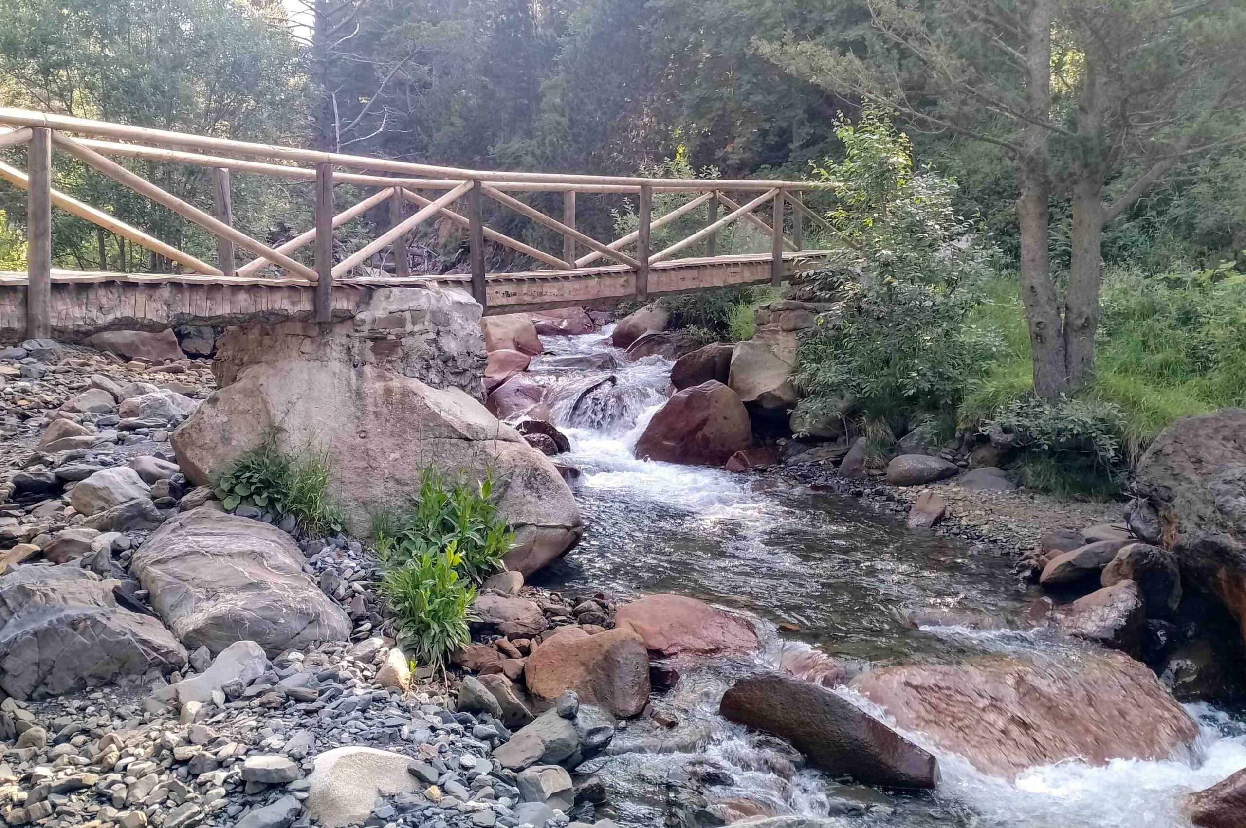
It’s just over 100 metres to the stream, shown on the map as the Zinqueta de Añes Cruces river.
There’s a footbridge over the water; this is a great spot to cool off on the return leg. Care has to be taken in the fast-flowing stream but there are shallow spots to submerge and reap the benefits of the wonderful mountain water.
Soon after there’s another sign, then it’s into the pine trees to start the ascent.
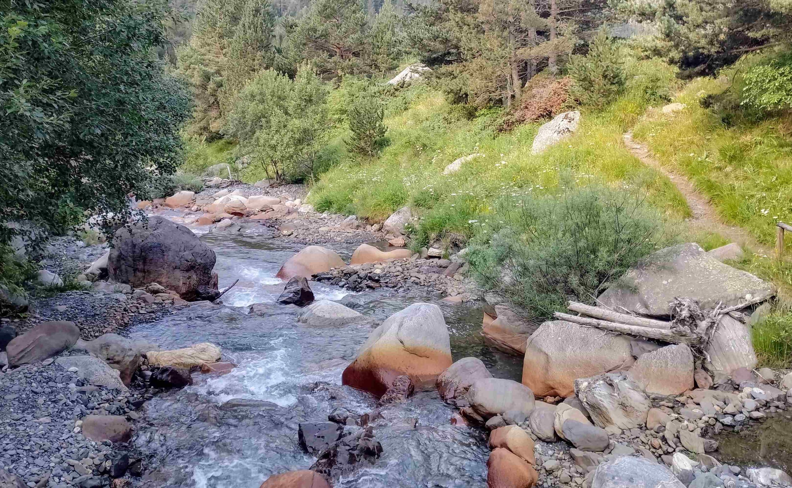
It’s a steady climb along the side of the ravine, never too far away from the stream, with the path crossing the water at intervals.
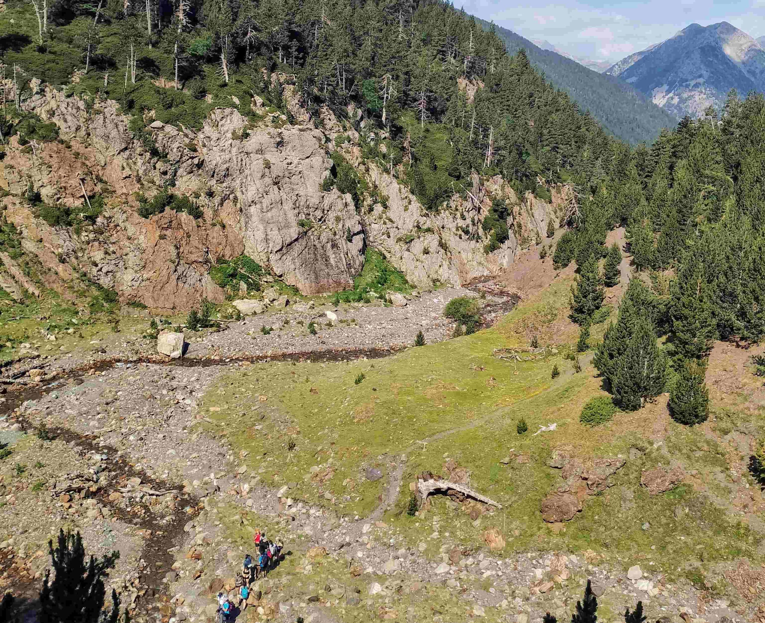
After descending into a flat-bottomed part of the ravine, a steeper section of the ascent heads up through the trees.
The path continues to climb and arrives at a fork, where there may be compacted snow in the ravine.
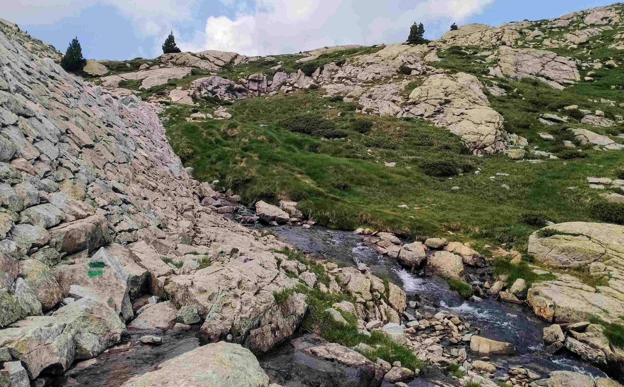
Our path turns right, leaving the GR-11.2 and heading for the ‘ibón’. It’s a pleasant climb up to the first of the lakes, on a good path which has green waymarks.
The route arrives at a small stone dam at the front of the lake and runs along the bottom of the structure, crossing the stream and then emerges close to the shore of the lake.
The path continues to ascend and offers a fantastic view back over the lake, with the enormous mountain of Pavots behind it.
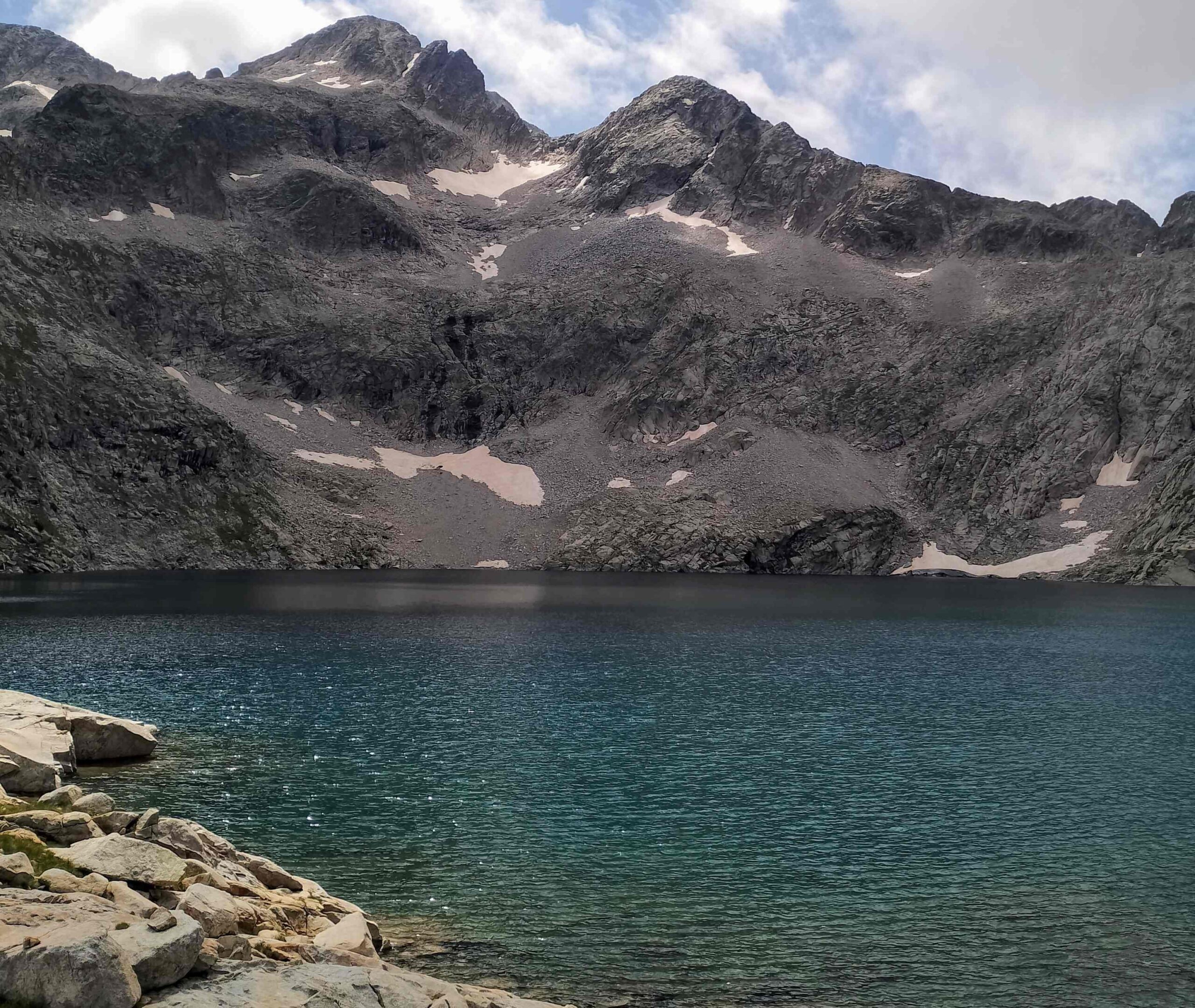
It’s a relatively easy climb up to the second lake, Leners with just under 200m of height to be gained on the ascent.
Cross the rocky ground, passing the tumbledown stone cabin on the left, to reach the shore of the lake.
Leners lies below a cirque which is crowned by the three 3,000-metre Bagüeñola peaks (also called Picos de Eriste, or Grist).
Snow remains on the rocky slopes for much of the year, making the views even more dramatic.
After having your fill, and maybe a sandwich or two, return by the same path.
There is approximately 1,000m of ascent on this route, which measures around 15km there and back from the campsite.

Recent Comments