
Following the GR-8 long-distance footpath towards Fortanete, our destination is the wide ravine – the Barranco de Zoticos; a spectacular work of nature with towering cliffs and verdant pine forest. The GR-8 runs along the side of the ravine on a wide strip of land which provides easy walking.
As the return is on the same path, it is up to walker to decide how far they want to go along the ravine. Our ‘return’ marker here is the Mas Alto farmstead.
A walk map and route can be seen on the page https://senderosturisticos.turismodearagon.com/senderos/gr8
Our stage is ‘etapa 11’ – Fortanete-Valdelinares. It’s a waymarked route, following the signs and the white/red waymarks.
The walk
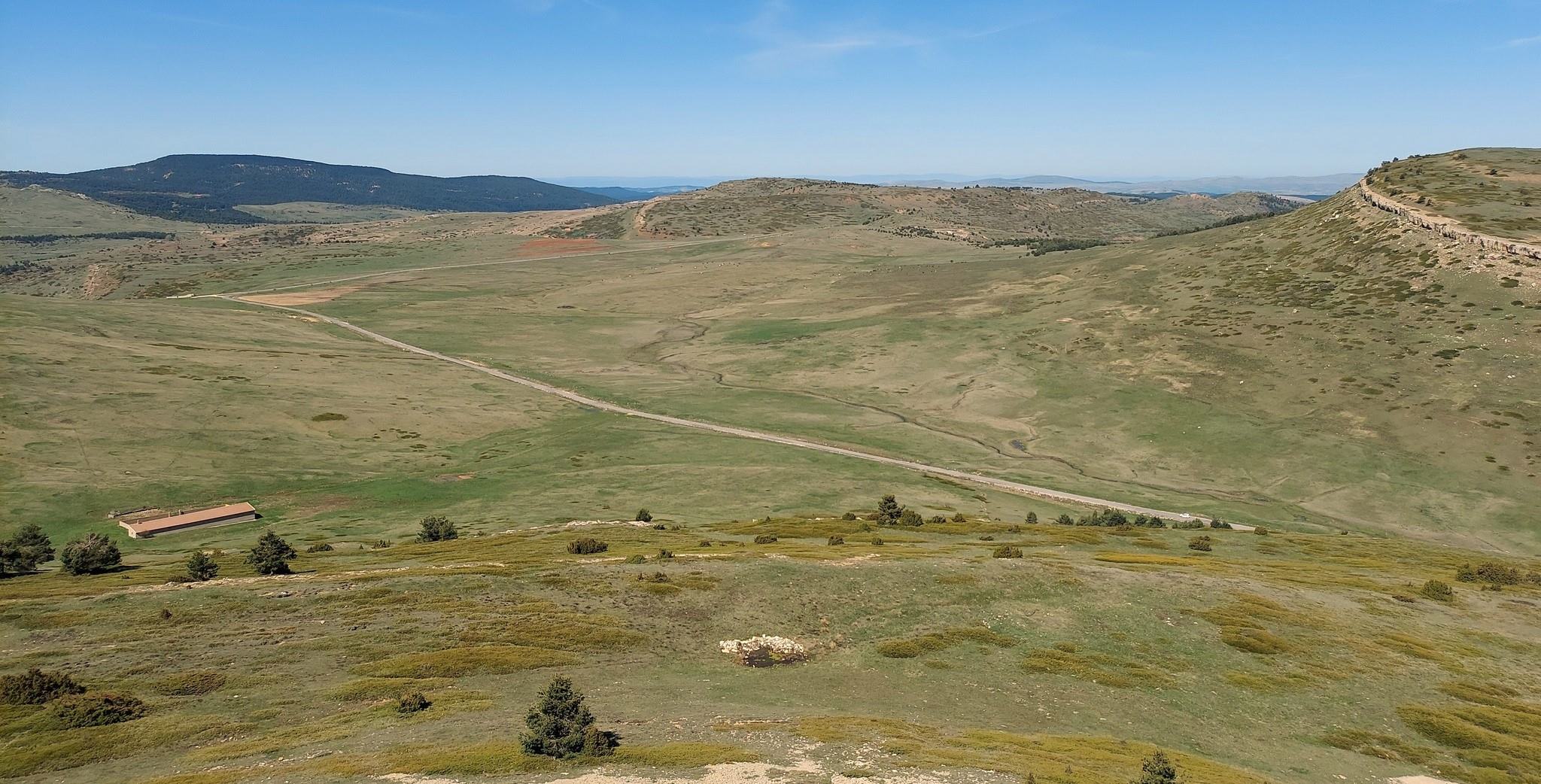
Set out from Plaza de la Iglesia in Valedelinares, which is home to the village church. The first part of the route is the same as the Alto del Hornillo walk featured in the previous post. Leave the plaza on Calle Teruel, passing Hostal Damián. It’s just under 200 metres to the spot near the bus stop, where the GR-8 can be picked up. Turn right off the street. There is a waymark on the wall to indicate the spot. Ascend on the surfaced lane which runs parallel to Calle Teruel below. Walk up to the vantage point, where there are signs and a good view back over the village and across to the mountains which are home to the local ski slopes.
The GR-8 sign points uphill for Fortanete. Take the wide track which ascends through cattle country. The route traverses the high pastureland and reaches a farm building which is still under construction. Bear left and walk down to the mountain road. At this point the sign tells us we have come 2.8km from Valdelinares. It’s a right turn at the road. We can walk on the surfaced area or on the grass at the side.
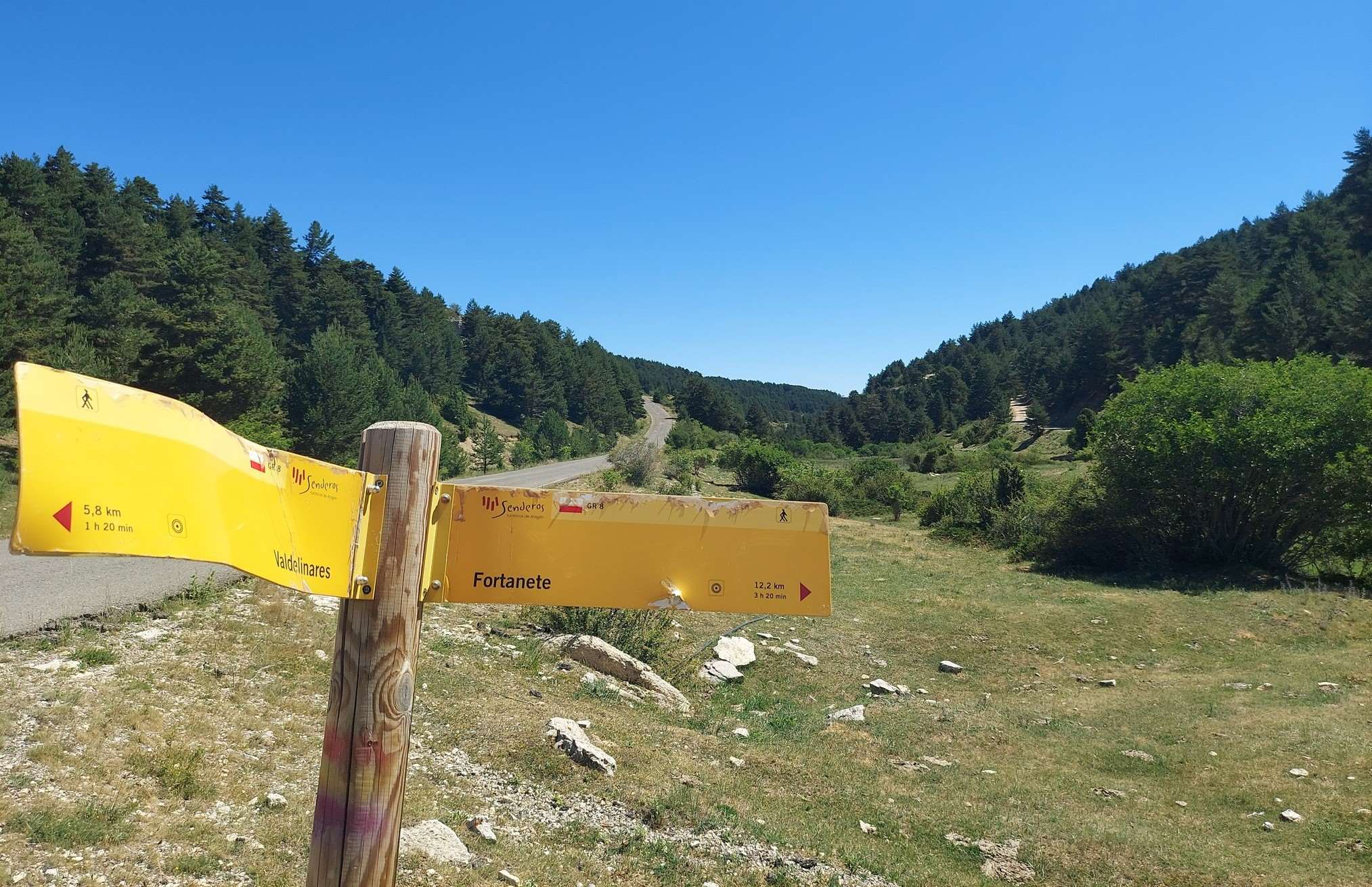
There is very little traffic on this road which is at an altitude of nearly 1,800m. The road descends gently. We stay on it for exactly 3km to the next sign, where it’s a right turn onto a wide track, pointing off for Fortanete.
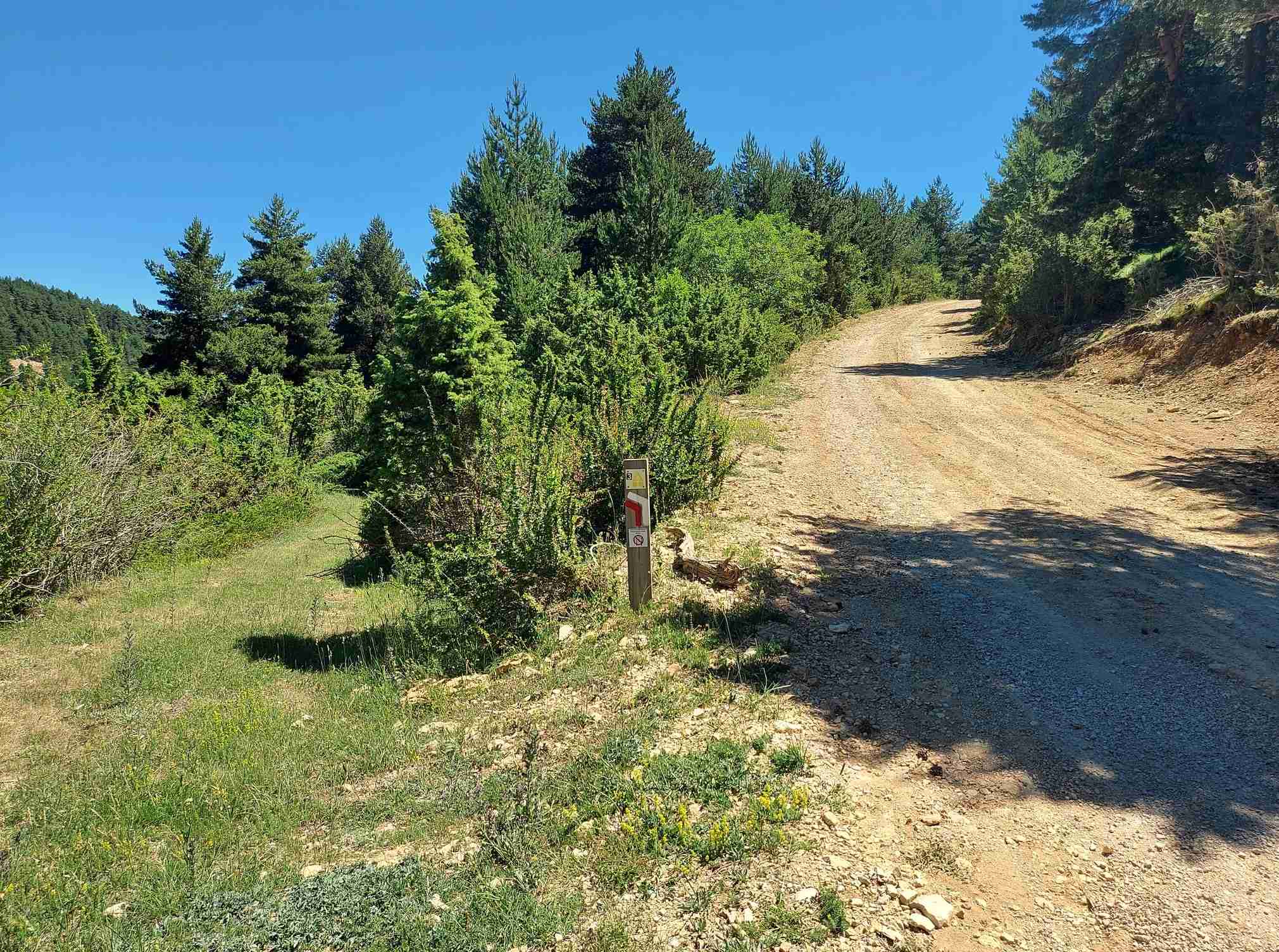
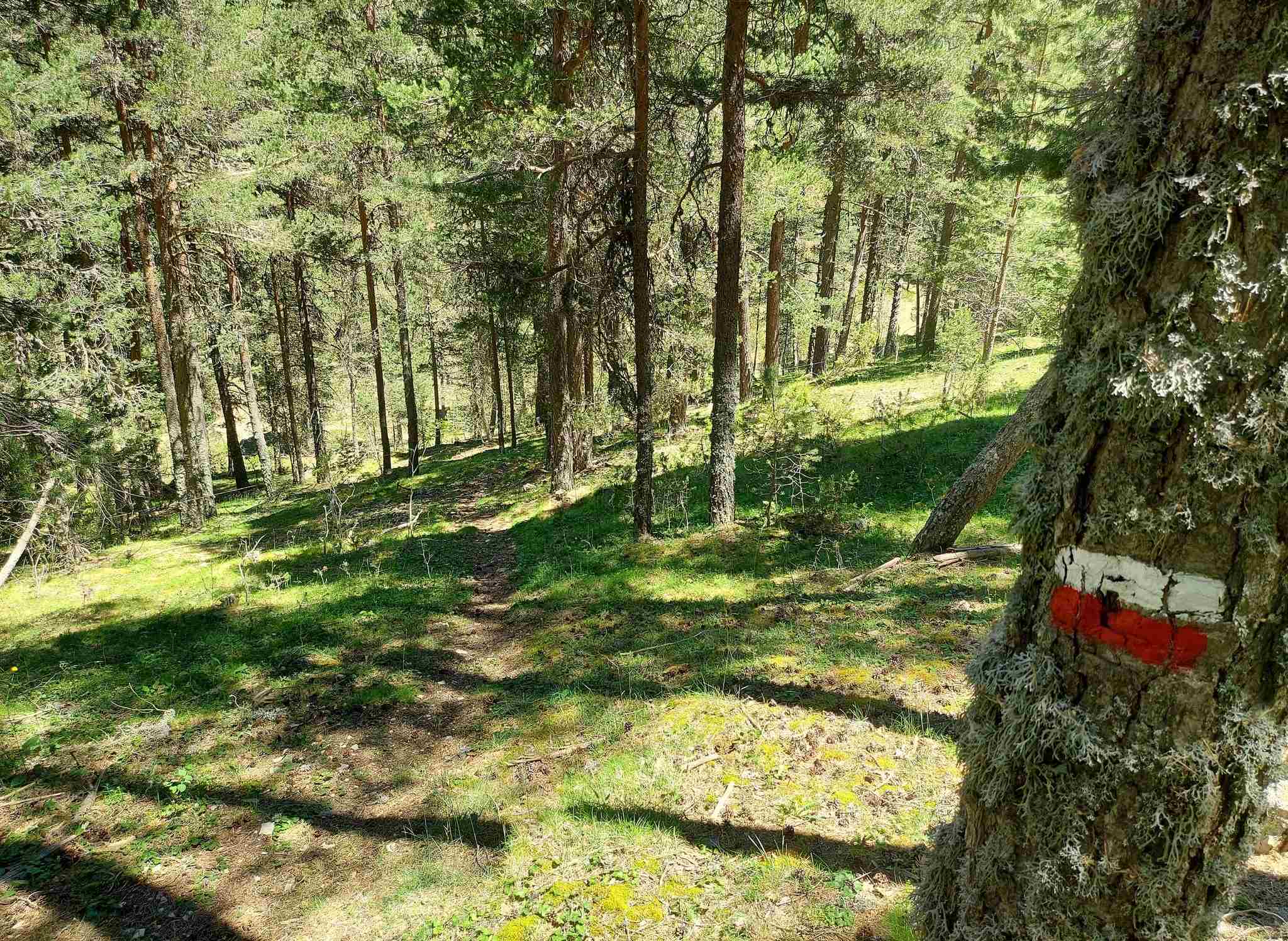
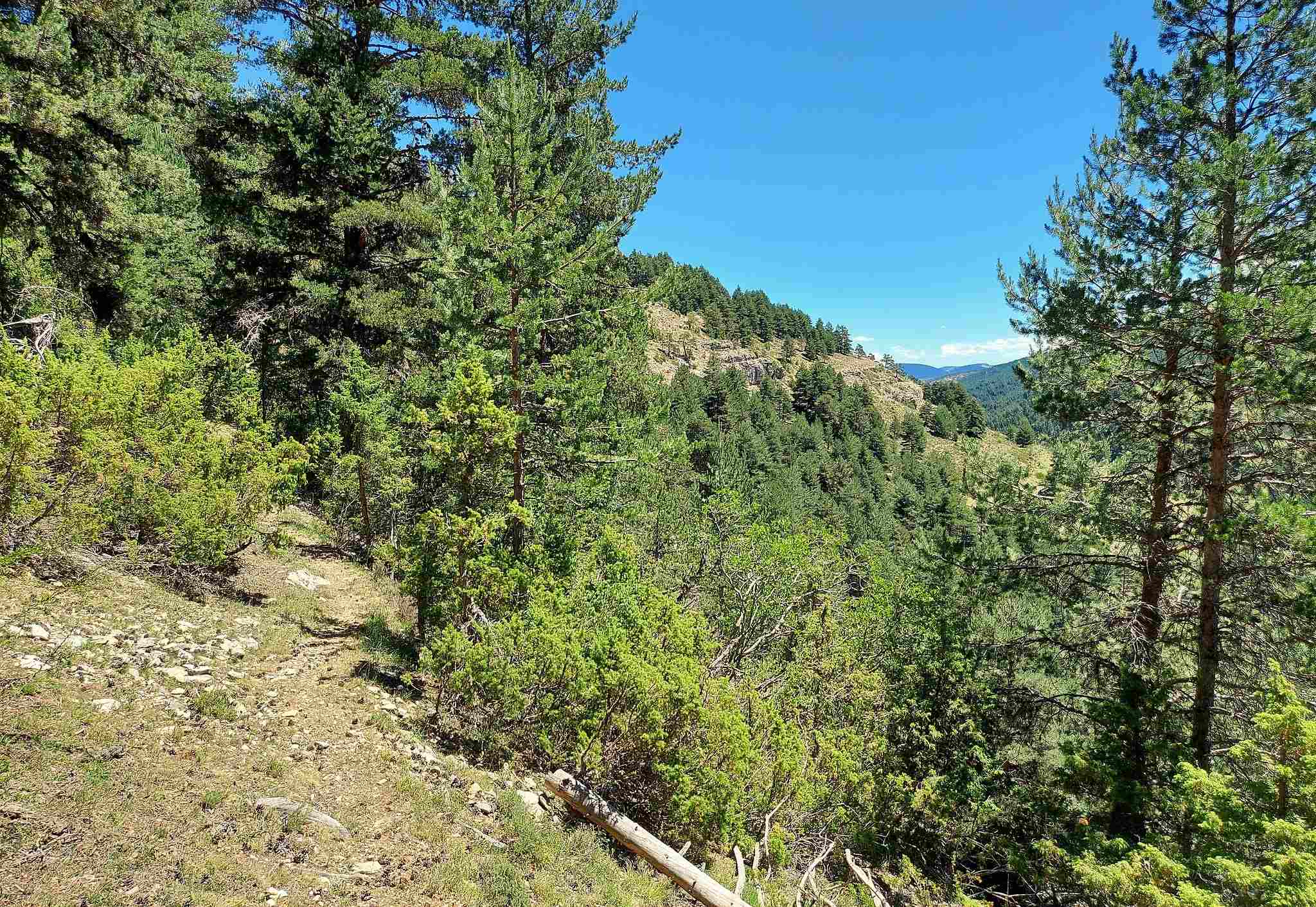
The track starts to ascend. Keep your eyes peeled for the waymark on a short post on the left which signals the turn off. This is easy to miss. Bear left here onto a forestry track heading downhill, with the pine forest on the right, following the white/red waymarks. The track turns into a path as it continues to descend. It’s a down and then up, carefully following the waymarks.
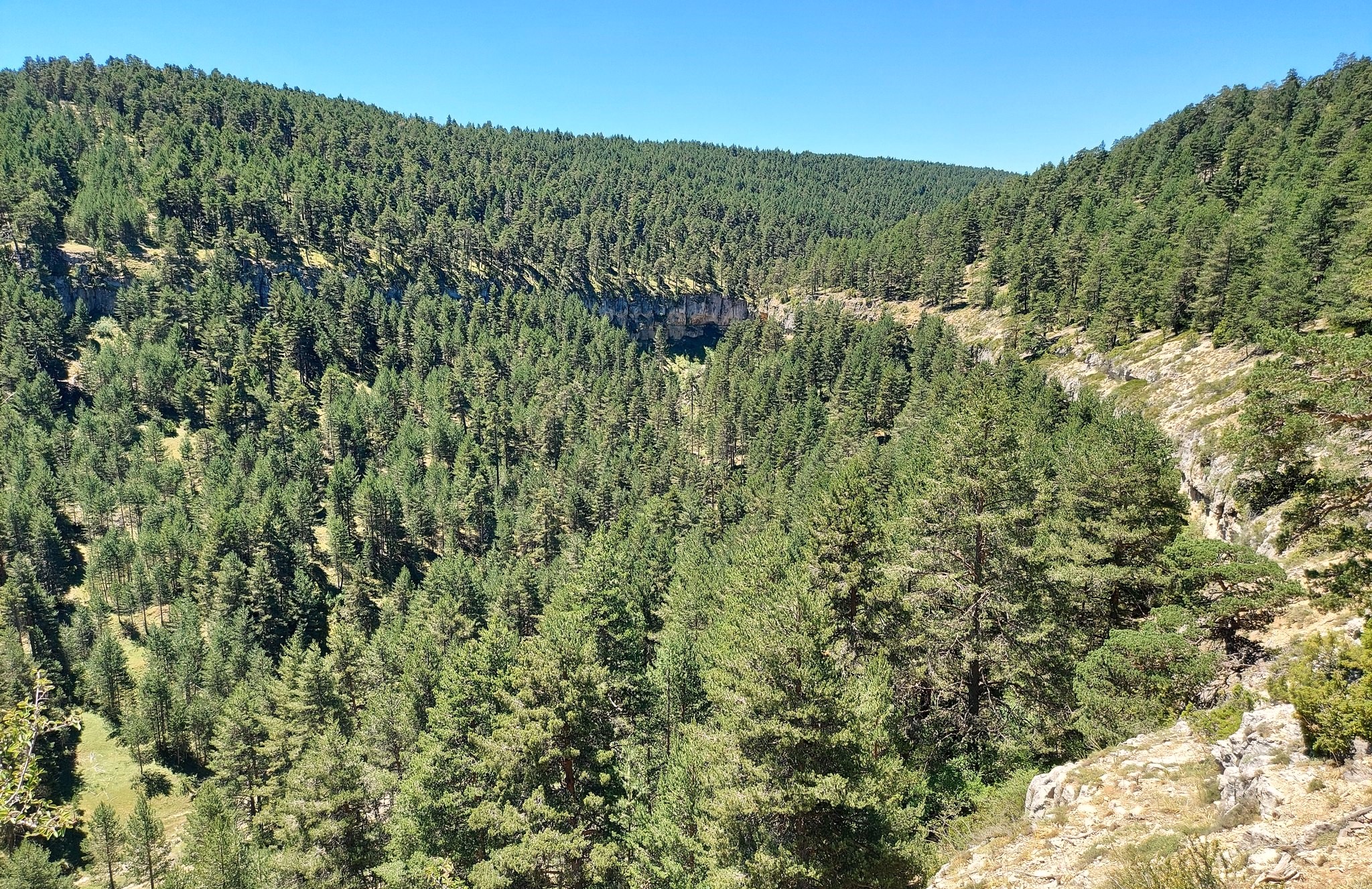
The path ascends, arriving at the head of the gorge. It traverses the left-hand side of a high, forested horseshoe – the ring of rocks can be seen from a natural vantage point a little further along the track. Soon the gorge opens out into a wider canyon and the path descends slightly before reaching a wide verdant flank which runs along the side of the canyon.
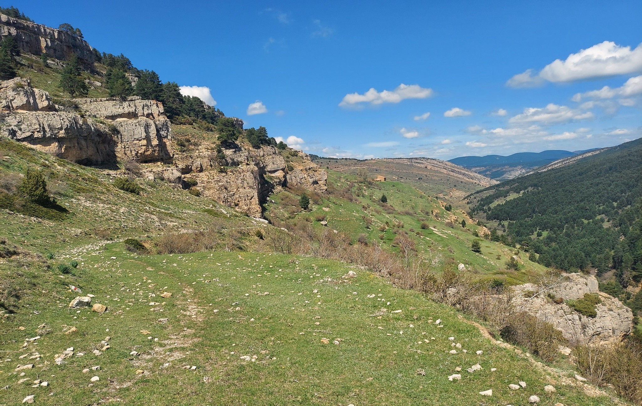
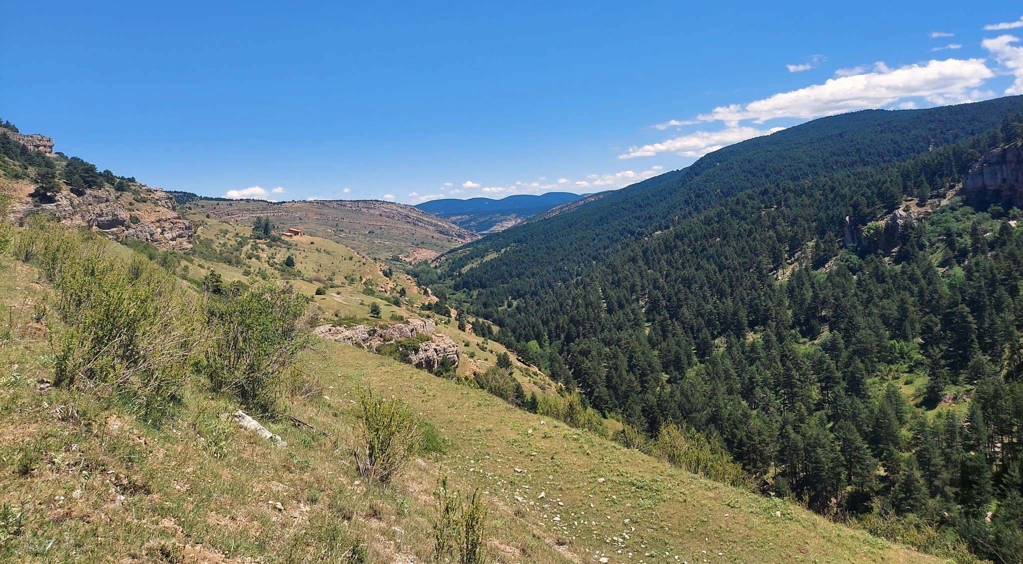
The views down the limestone ravine/canyon are spectacular. The weird and wonderful rock formations can be seen at every turn. The path runs all the way to Fortanete, which is around 10km further on. The suggested route goes as far as the Mas Alto farmstead, which can be seen on the interactive map and in the photos here. The path passes around 15m above the farmstead.
It is approximately 9km from Valdelinares to the Mas Alto building. We return on the same route. There is around 200 metres of ascent on the outward section and the same on the way back. Allow between five and seven hours for the walk – and sit down at the farmstead.

Recent Comments