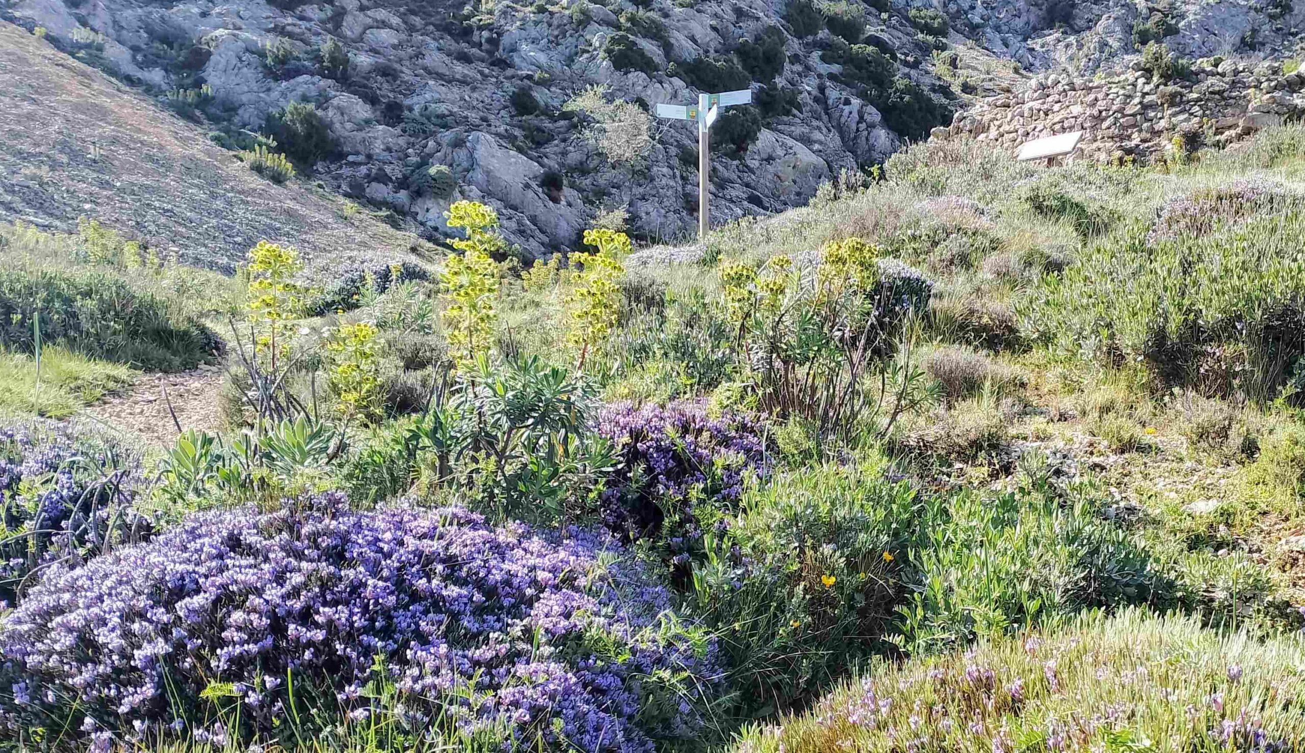
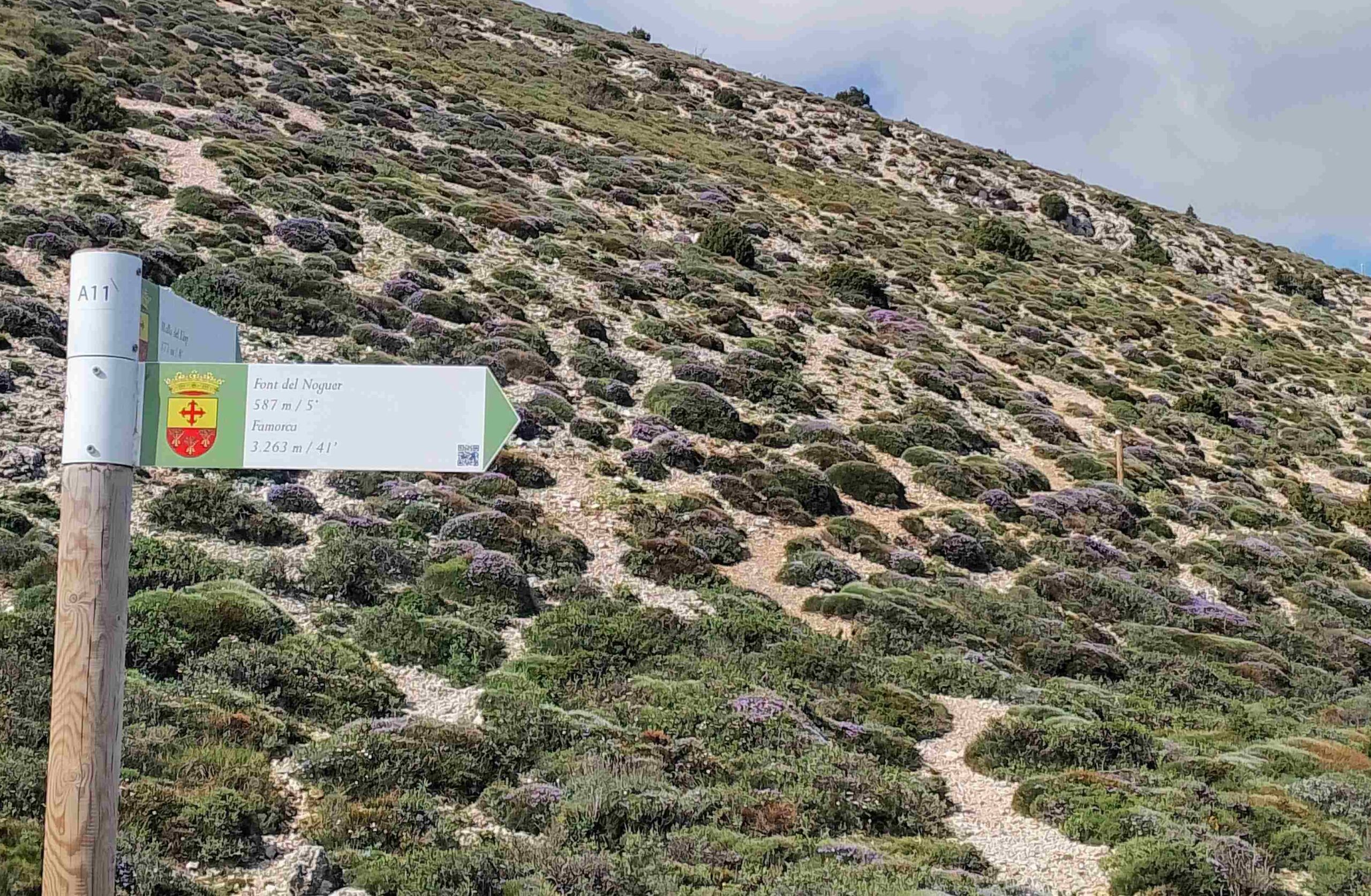
The Senda dels Nevaters (the ice men route) heads up the lane leading out of Plaza del Font in Famorca. It is 375m in distance up this wide track to reach a signpost, which points the walker off to the right onto a path.
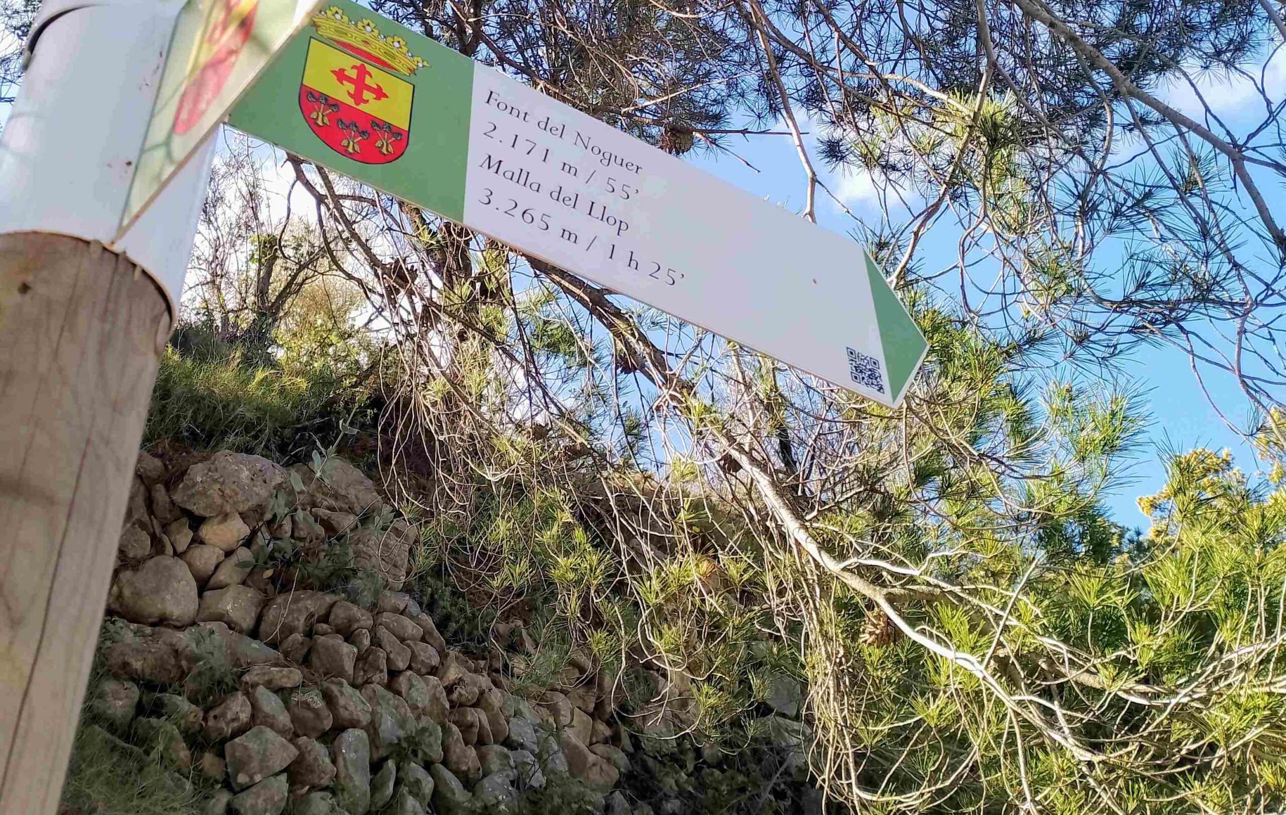
This is the start of an ascent that is fairly steep in places, which emerges at the natural spring, the Font del Noguer; it’s 2.17km to the font from the sign.
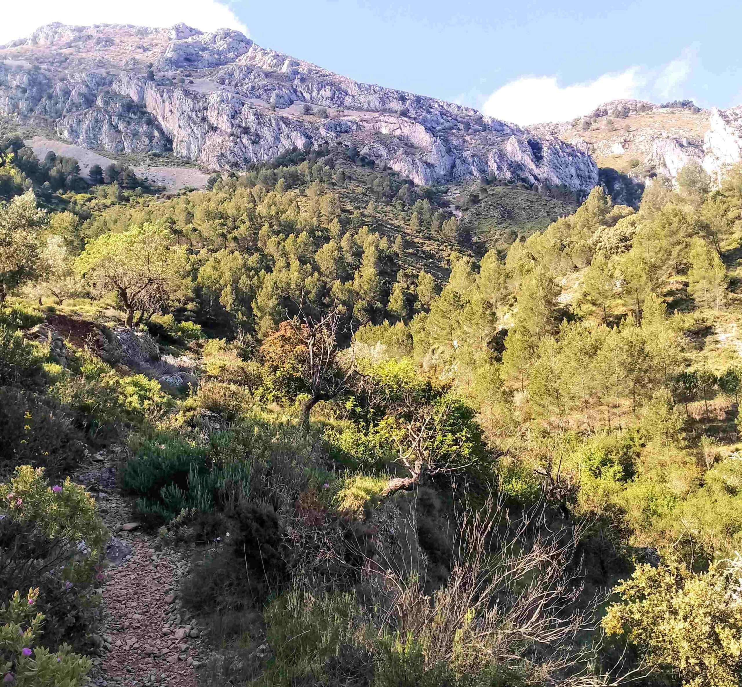
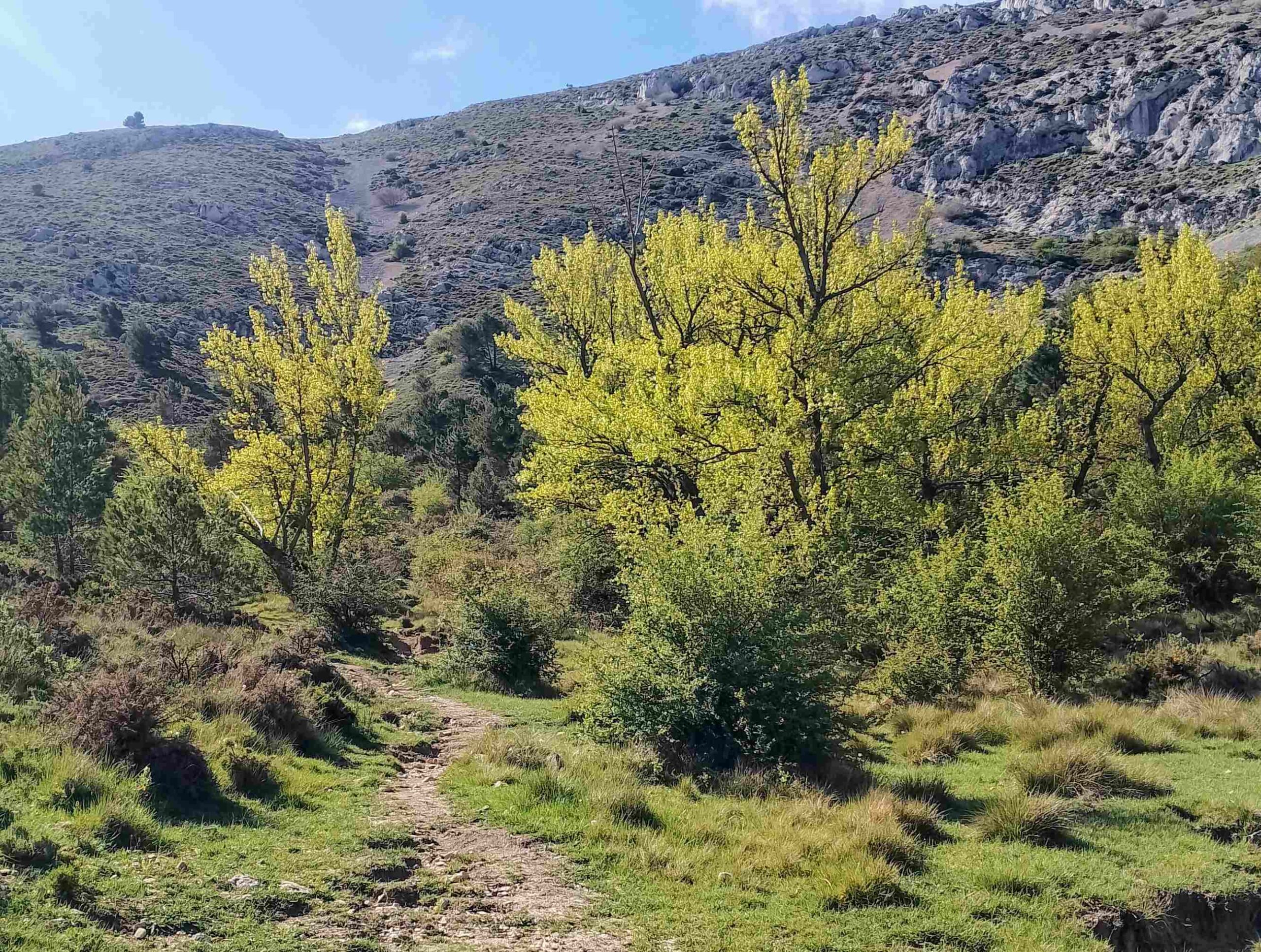
The path ascends the left-hand side of the ravine at first, before another sign tells us the font is 1.8km away. After the long climb up the side of the ravine, passing occasional water huts, the path emerges at a flattish area which is wonderfully verdant in the spring. Bear left to walk through the trees.
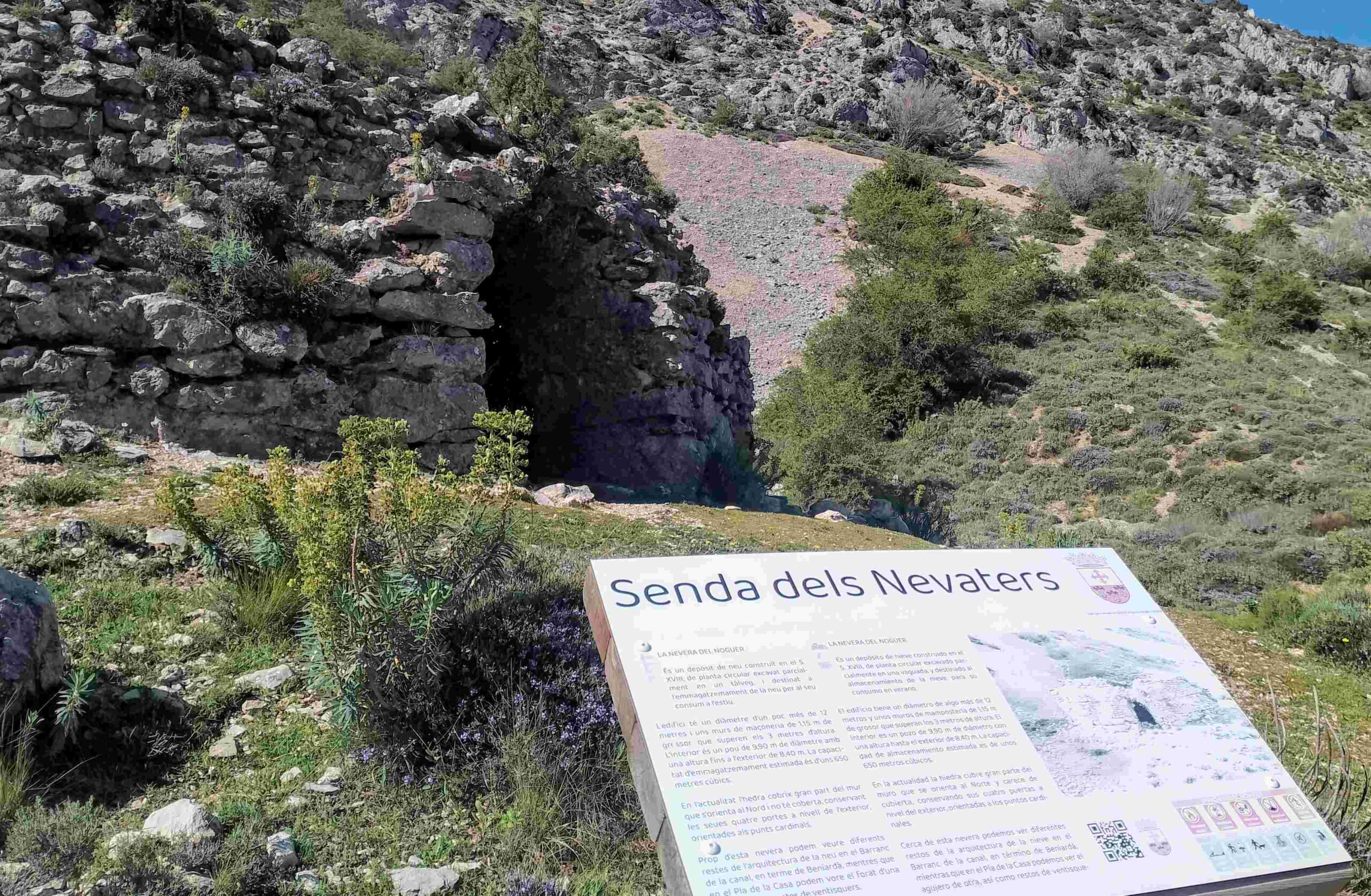
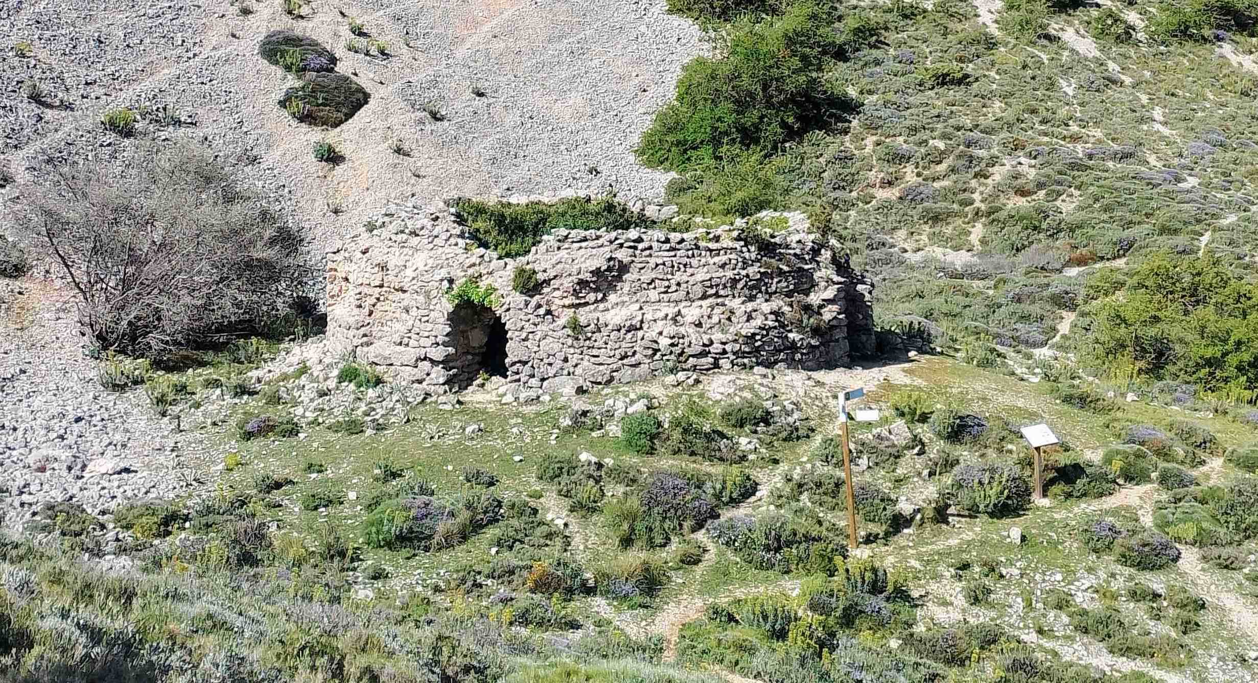
The path passes narrow pipes which are used to channel water from the natural spring down the mountainside. Emerge at a signpost at another water hut. It points up to the snow well, the Nevera del Noguer.
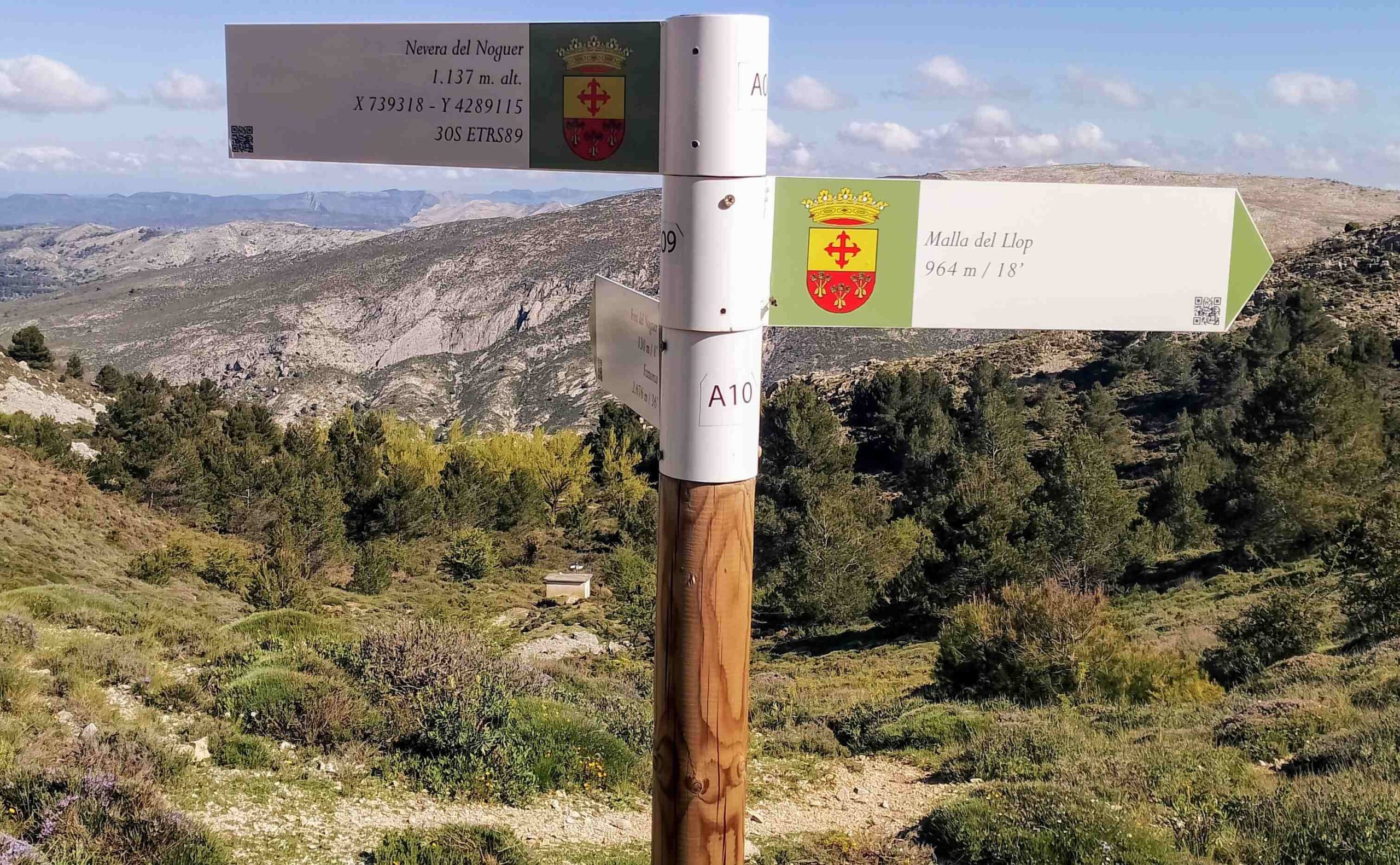
It is a short climb to the snow well, which stands at an altitude of 1,137m. It’s a fascinating spot and most walkers will want to scout around the well. Take care; it’s a deep pit. It is possible to see how the snow was shovelled through the arches into the well, which has round stone walls. The well would have had a roof in its heyday, but this has long gone.
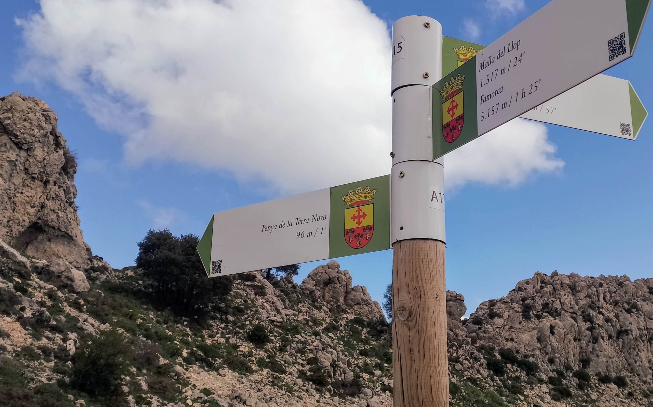
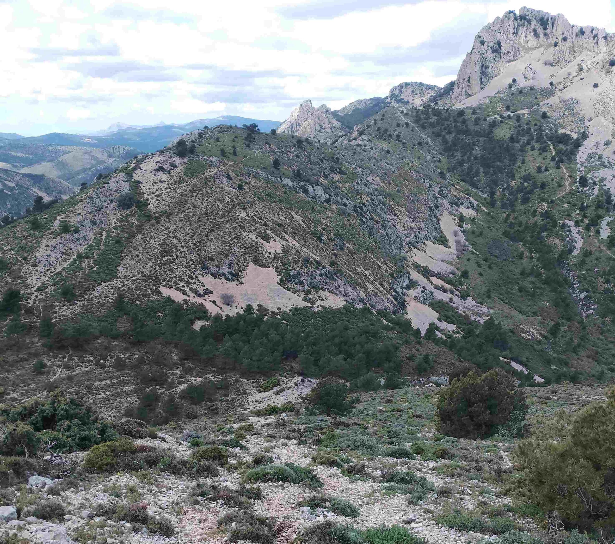
Bear left at the well, following the sign that explains that it is just under 1km to the summit of Mallà del Llop. The path passes to the right of an impressive wall of rock which has deep fissures in its centre.
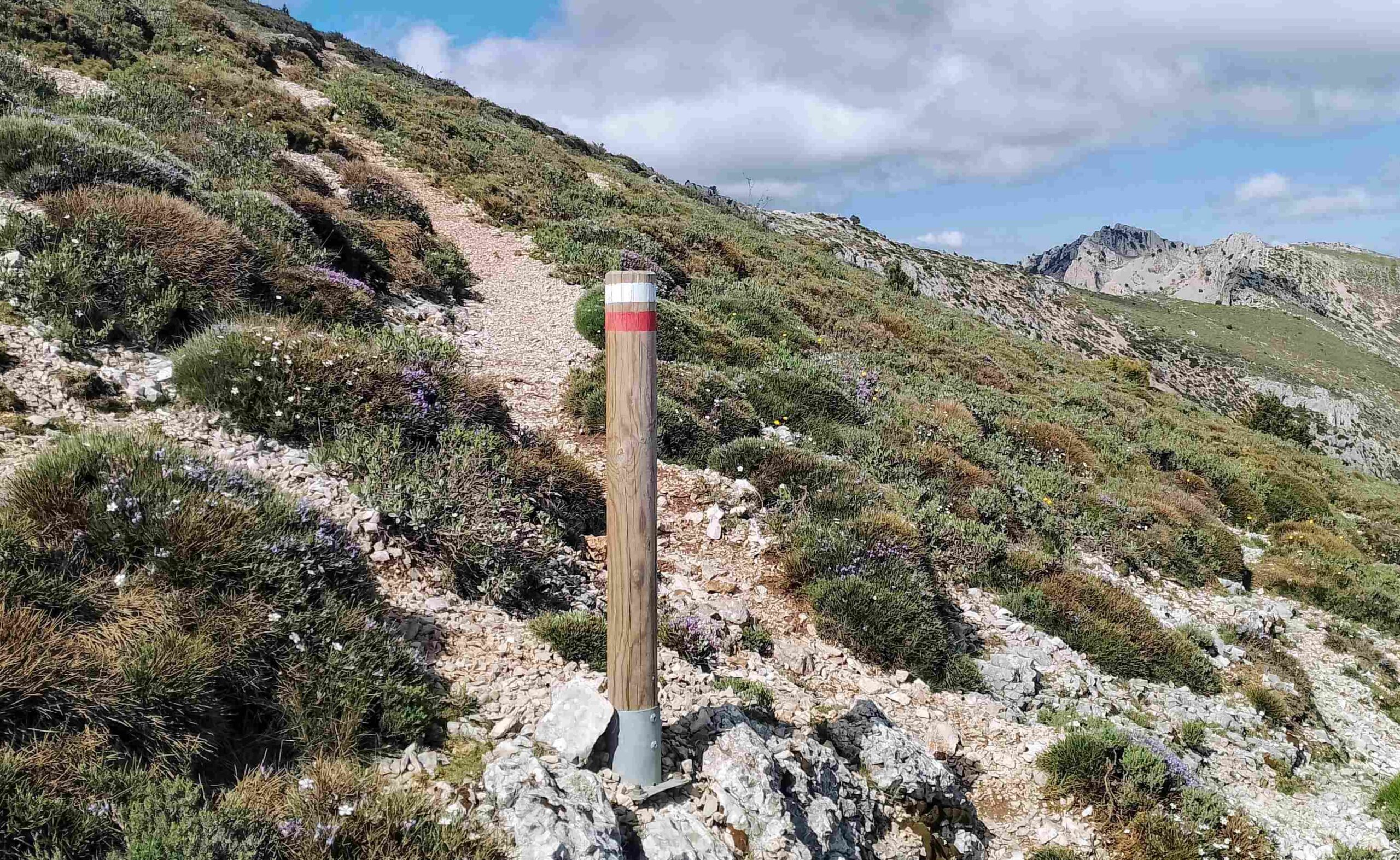
It emerges at a saddle, where there is a sign pointing right for Mallà del Llop; it’s only 377m to get to the top. We are now venturing onto the GR-330 trans-Alicante footpath, following white/red waymarks.
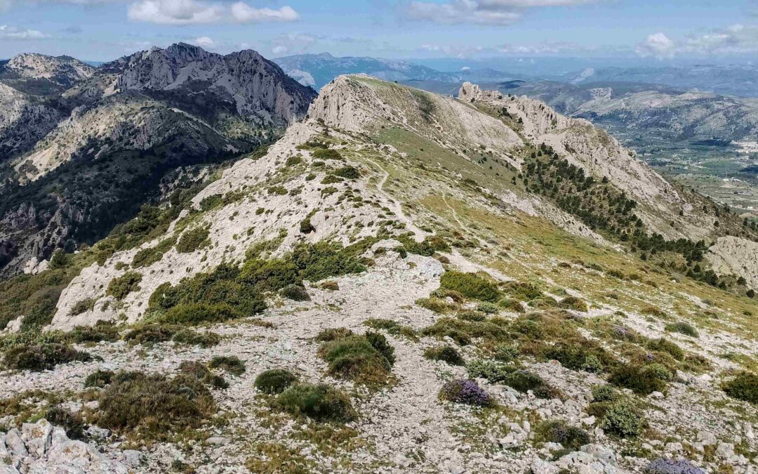
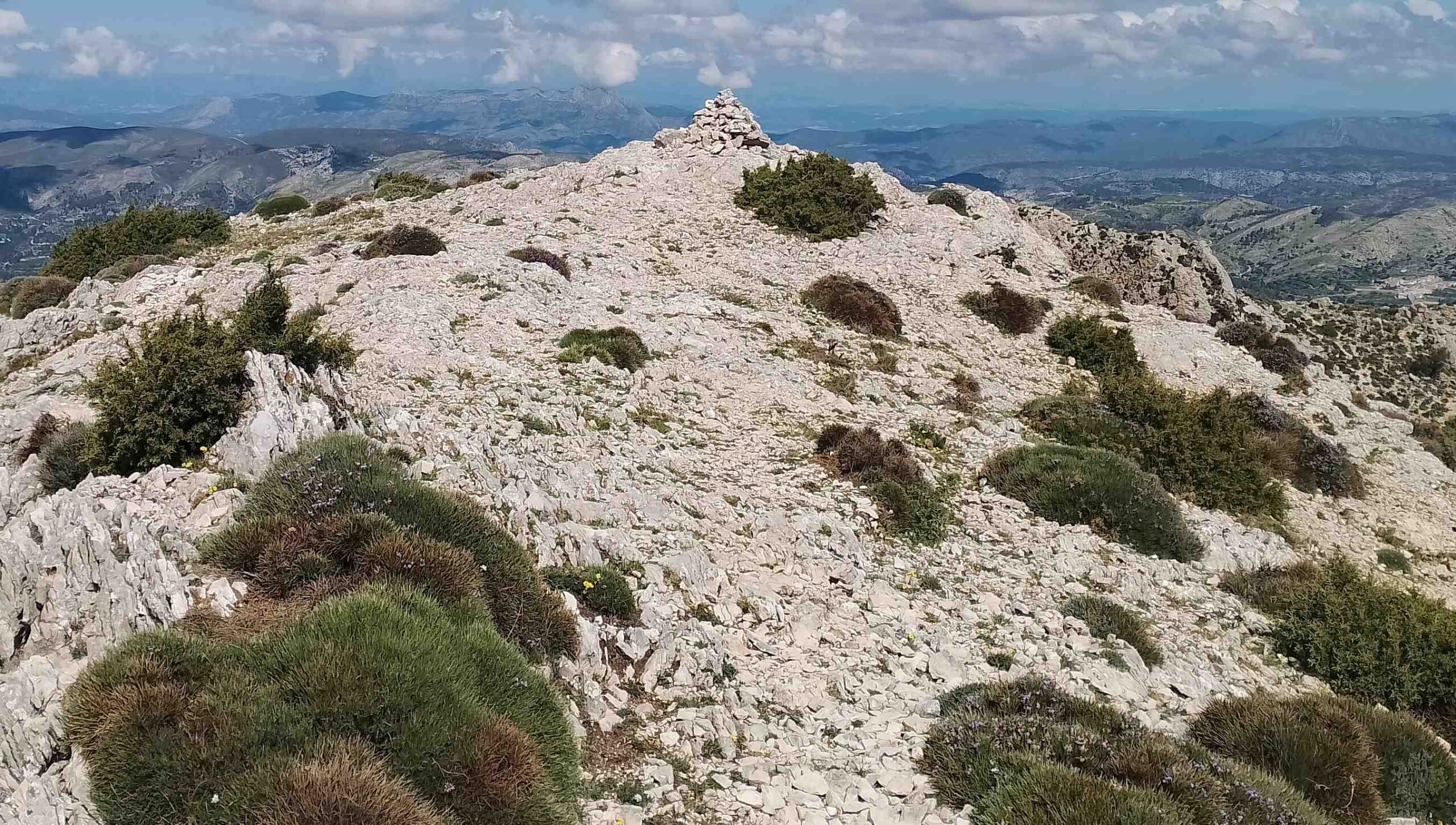
The path runs across the slope, with the occasional marker post to help with orientation; then it bears left to ascend the final short section to the top. The summit lies across a flat area; there is a trig point to mark the spot at 1,361m.
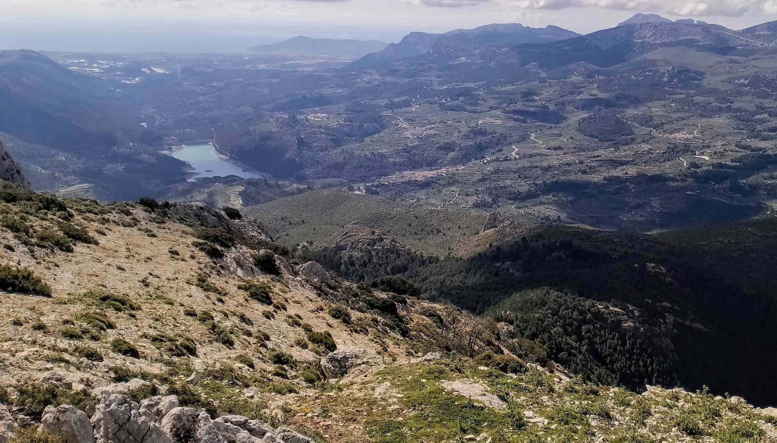
Fantastic views await on a clear day; across to the Sierra de Aitana with its listening devices. To the left of Aitana see the notch of Puig Campana, then down the Guadalest valley, and across to the twisted summit of the Bernia. To the north the coastline stretches up towards Valencia. It’s a truly splendid spot.
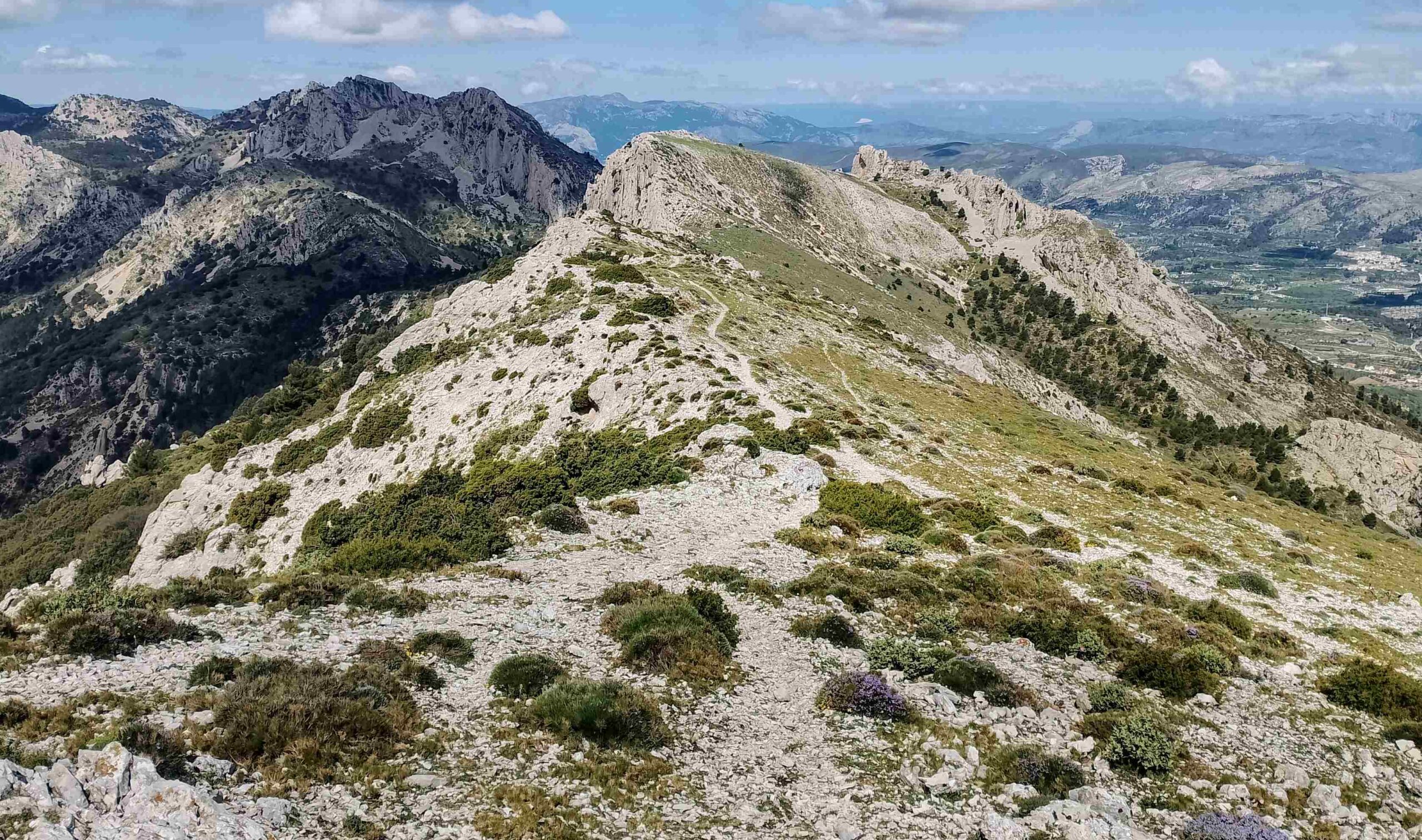
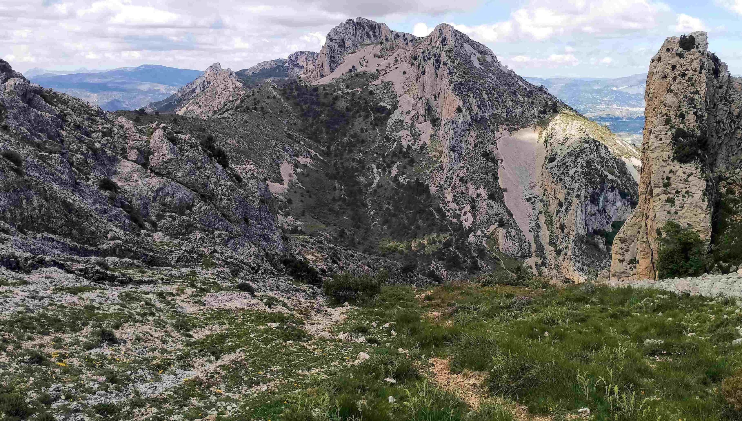
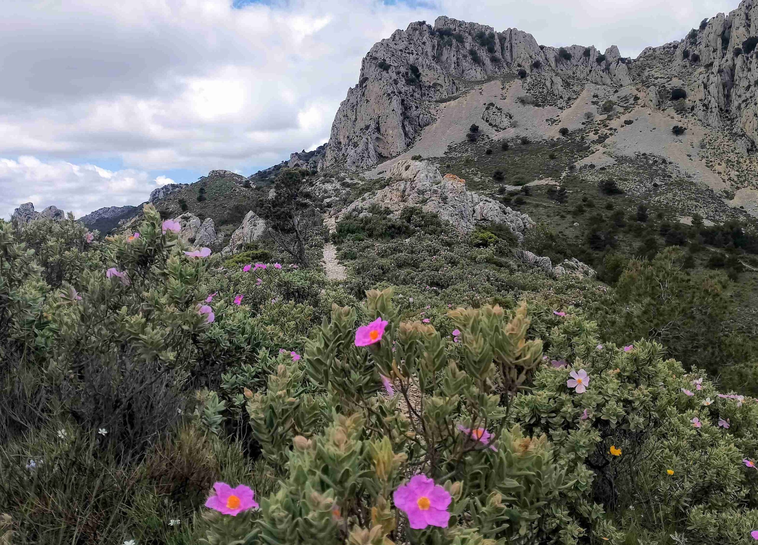
Our route on the GR-330 now bears right (west) to set out along the striding ridge which leads to the second summit of the day, the Pic de Serrella (also known as Morro dels Regalls).
It’s a wide ridge and not dangerous walking. Don’t stray too far to the left where drops await. White/red waymarks appear along the route.
After following the magnificent ridge, there is a short section of ascent to get to the summit cairn. Soon afterwards, see a signpost pointing for the Font del Noguer. Follow it.
The path heads down to a saddle, where we turn left; the only direction which isn’t marked by the signposts. The path heads down the ravine.
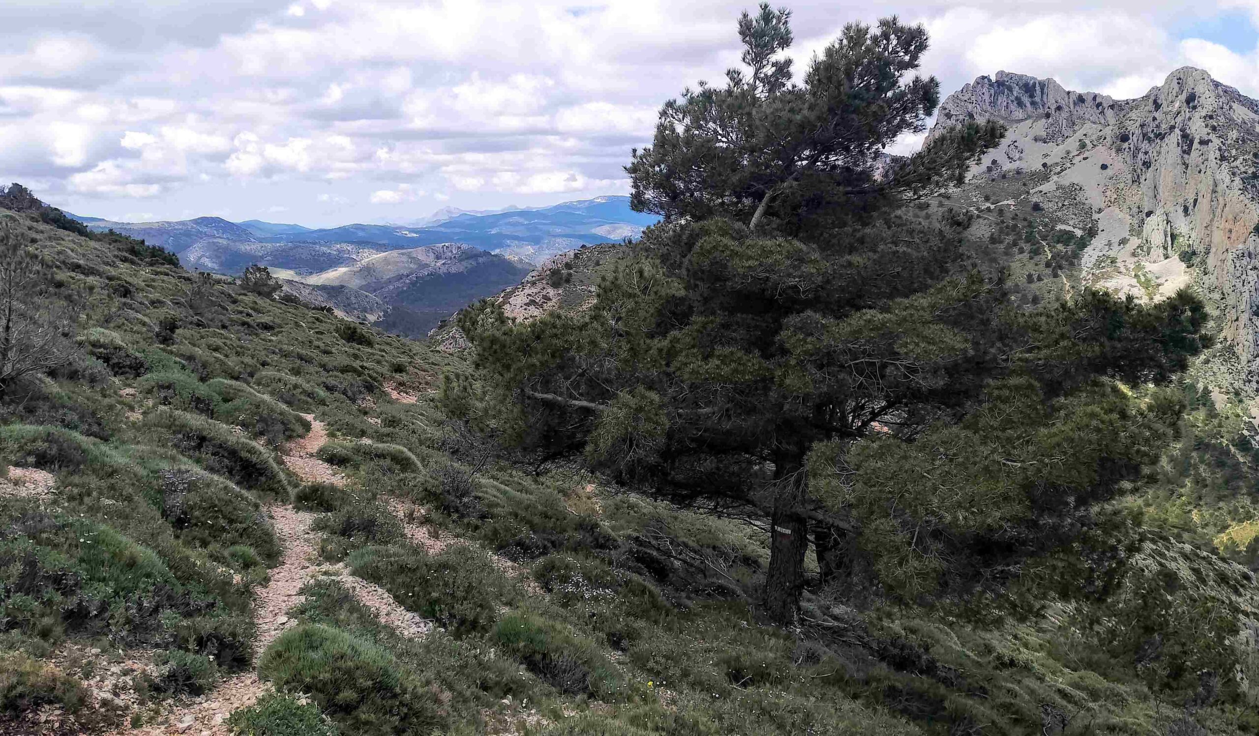
Around 50 metres into the descent, bear left to move out of the ravine, following the white/red waymarks. The path runs across the slope, away from the ravine; waymarks only appear intermittently.
Take a line on the small clump of pines in the distance. The GR-330 passes to the left of the trees. After the pines, the path starts to descend.
Walk to the bottom of the slope, reaching a confluence of paths. We bear left following the white/red waymarks. The path ascends, gently at first.
Soon, at a waymark on a rock, the path bears right to start a steeper climb up the slope. It’s not long before the path bears left; keep your eyes peeled for the waymarks which show the way.
The path then embarks on a steeper ascent, going straight up. Keep a keen eye open for the waymarks. After the climbing, emerge at another lovely section. The path runs just below the ridge, heading directly towards the summit of Pla de la Casa in the distance.
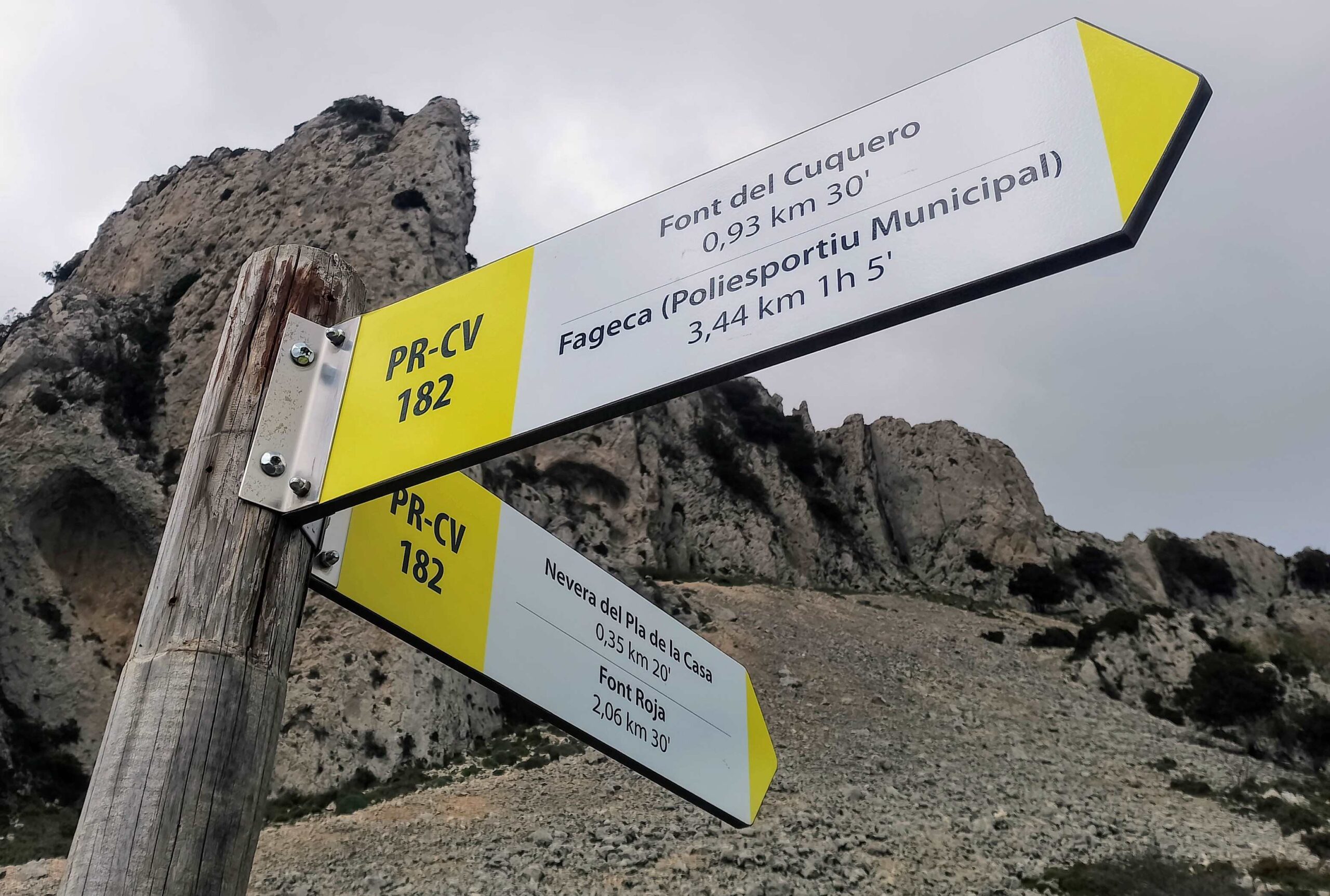
Looking over to the far side of the ravine below, see the path which we will use to descend back to Fageca. At the end of the ridge, beneath the summit, we bid farewell to the GR-330 at a crossroads.
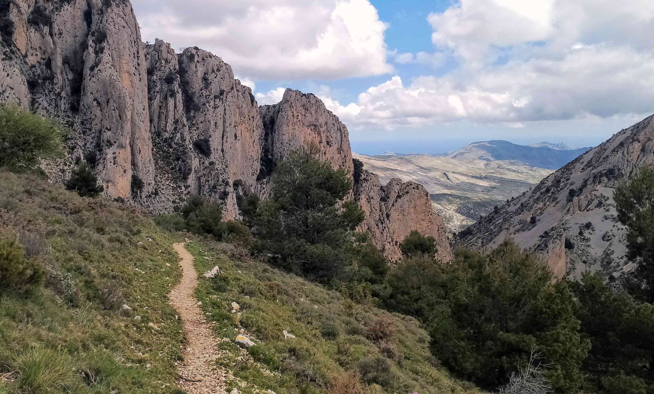
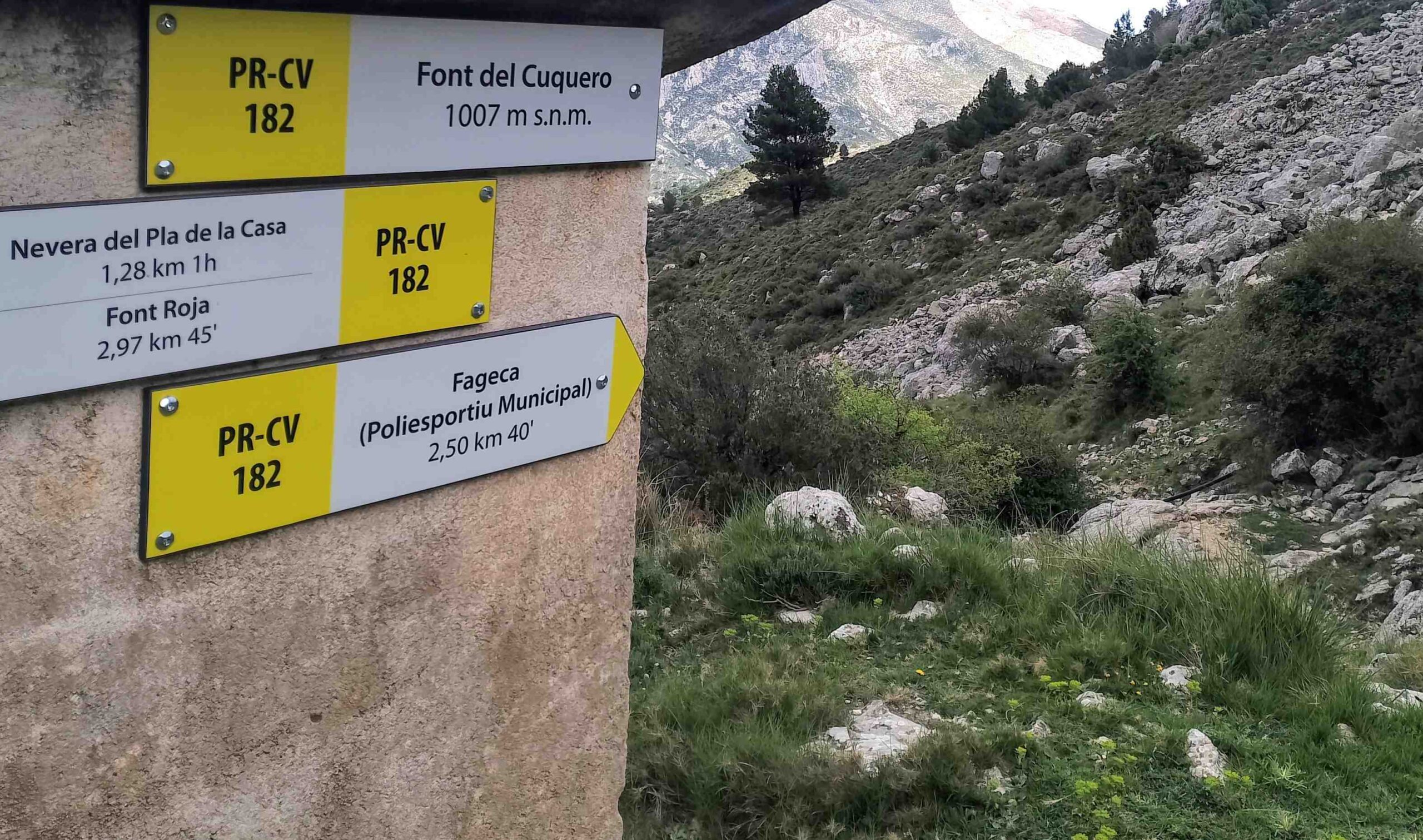
Our path bears right to double back around 15 metres to a tall signpost. It points down the ravine to Fageca. This is our route back (walkers who want to shin up to the top of Pla de la Casa should follow the sign for Nevera de Pla de la Casa; it’s around 500m in distance to the top with 150m of ascent).
We are now following the PR-CV 182 footpath down the Barranco del Moro ravine. It’s 3.44km from the tall sign back to the sports centre parking area.
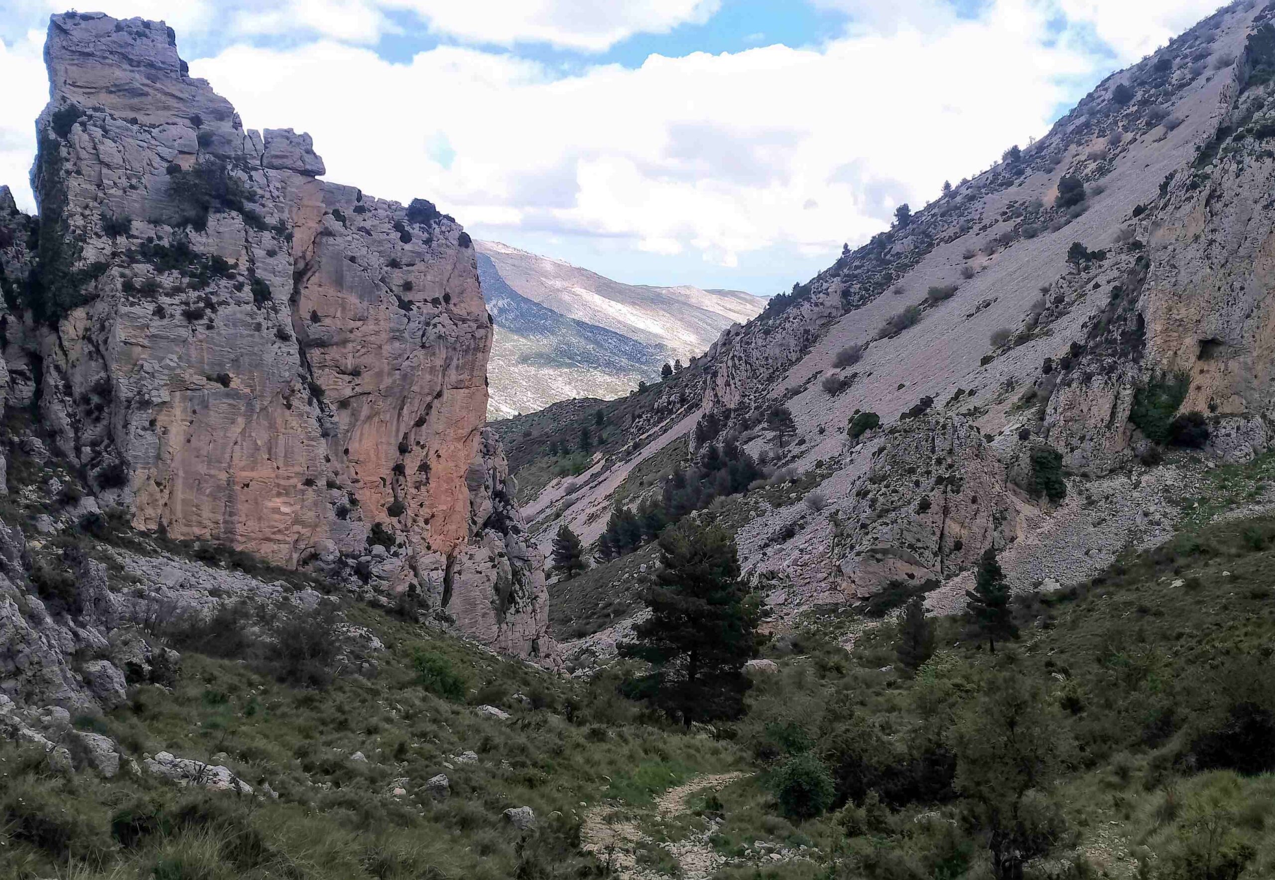
It’s a pleasant descent on a clear path, with white/yellow waymarks showing the way. The route passes through pines and then some dramatic rock formations.
It’s just under 1km to reach the Font del Cuquero natural spring. The path continues the descent.
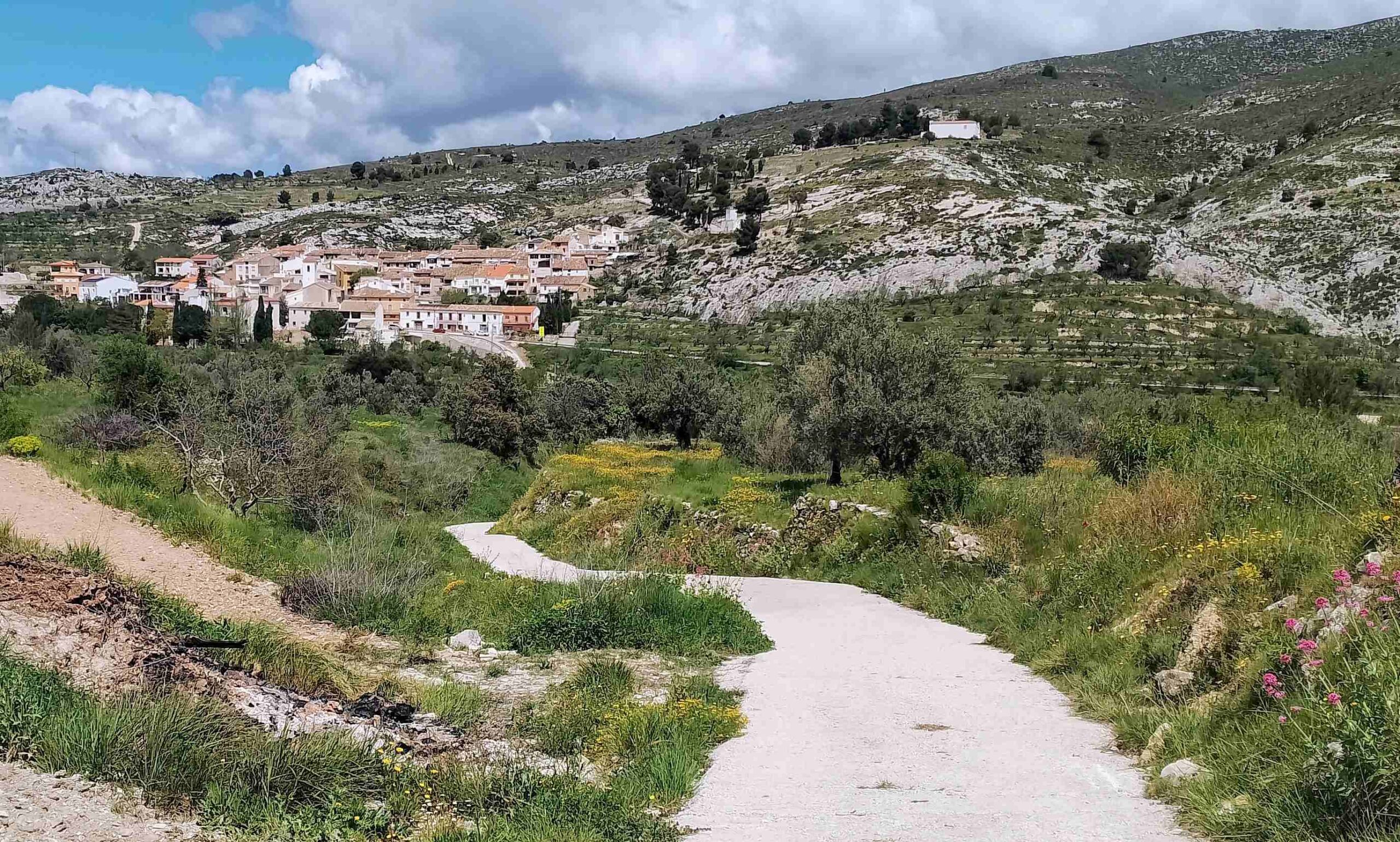
The PR-CV 182 emerges at the bottom of the ravine and bears left, passing a clump of trees and following the waymarks. Keep straight on at a junction, now walking next to a dry stone wall.
Arrive at a sign which tells us that the sports centre is 1km distant. Turn right here to walk down the wide track back into Fageca, passing under the road once more and bearing left to retrace your steps to the Poliesportiu Municipal building.


Recent Comments