
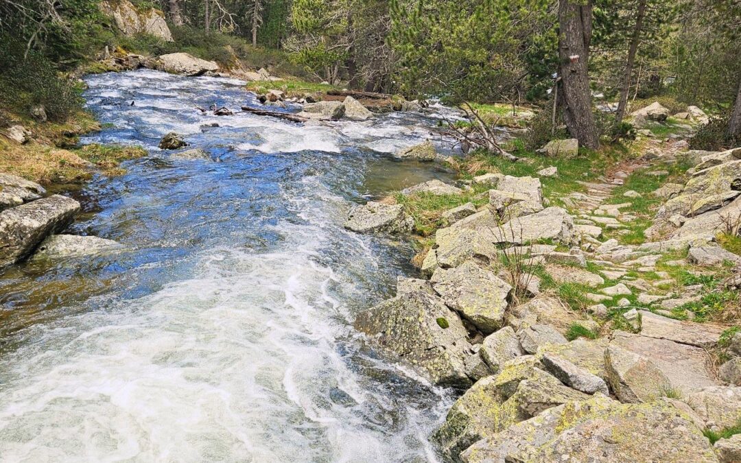
The GR-7 ascends the Madriu valley to reach one of the most spectacular mountain areas in Andorra. The footpath runs along the banks of the Madriu river, taking in views of snowy summits.
At the grassy Pla de L’Ingla at 2,100m, the route starts the climb to L’Illa mountain refuge, passing glacial lakes as height is gained. The ‘refugio’ stands at 2,488m. From there it’s a short step to the Coll de L’Illa pass at 2,511m, where stupendous views over the Madriu valley and surrounding peaks await.
The route starts from Engordany at 1,050m, on the edge of Andorra la Vella city. It’s approximately 13.5km one way to the pass, with around 1,500m of ascent. Walkers return on the same path so the route can be made shorter, with the option to turn around at any point on the footpath.
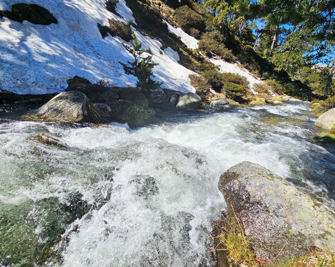
This walk is glorious in the springtime when the river is full of snowmelt and there is still plenty of the white stuff on the mountain slopes. I did the walk in late May.
It’s a bit of stretch including this route in my Pyrenees Cataluña section, with Andorra being a separate state. But, in my defence, Catalán is the official language of the Principality and a Catalan bishop is one of the co-princes of the nation.
The map which shows this route (and all the walking options in the Principality) is called ‘Andorra’. This 1:25,000 scale sheet can be bought from the main tourism office in the capital, Andorra la Vella
The walk
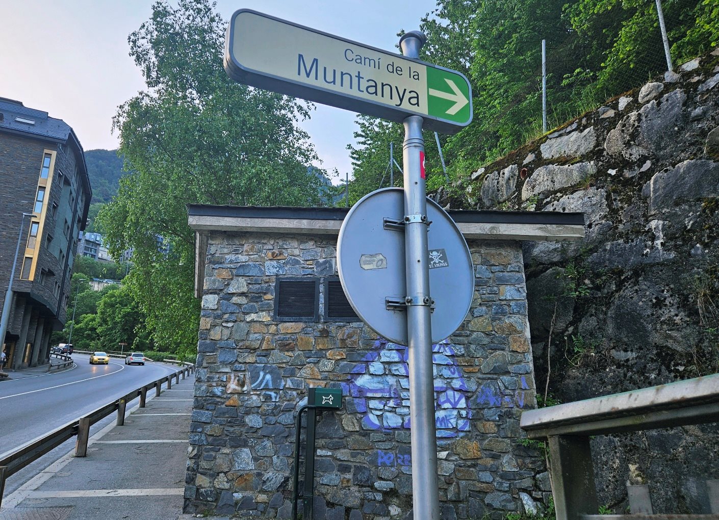
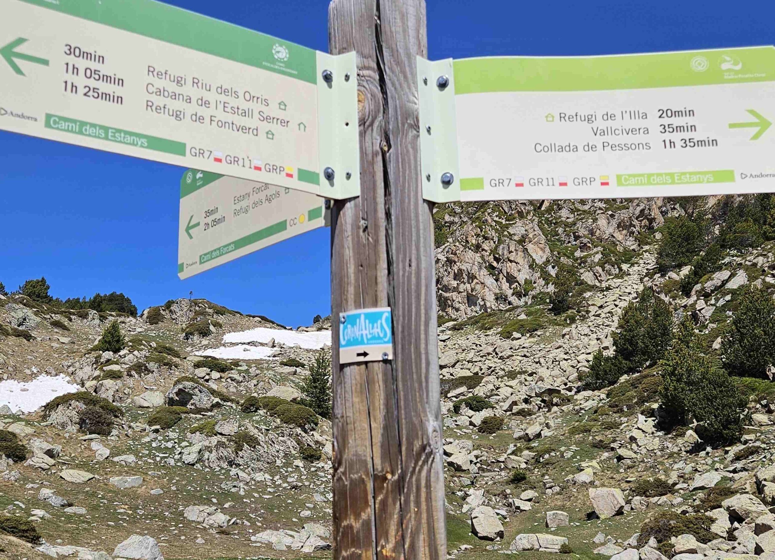
Starting in Engordany, cross the CG-2 road at the Repsol petrol station, a couple of hundred metres after Hotel Panorama. Straight after the fuel pumps is the sign for the Camí de la Muntanya (see first photo).
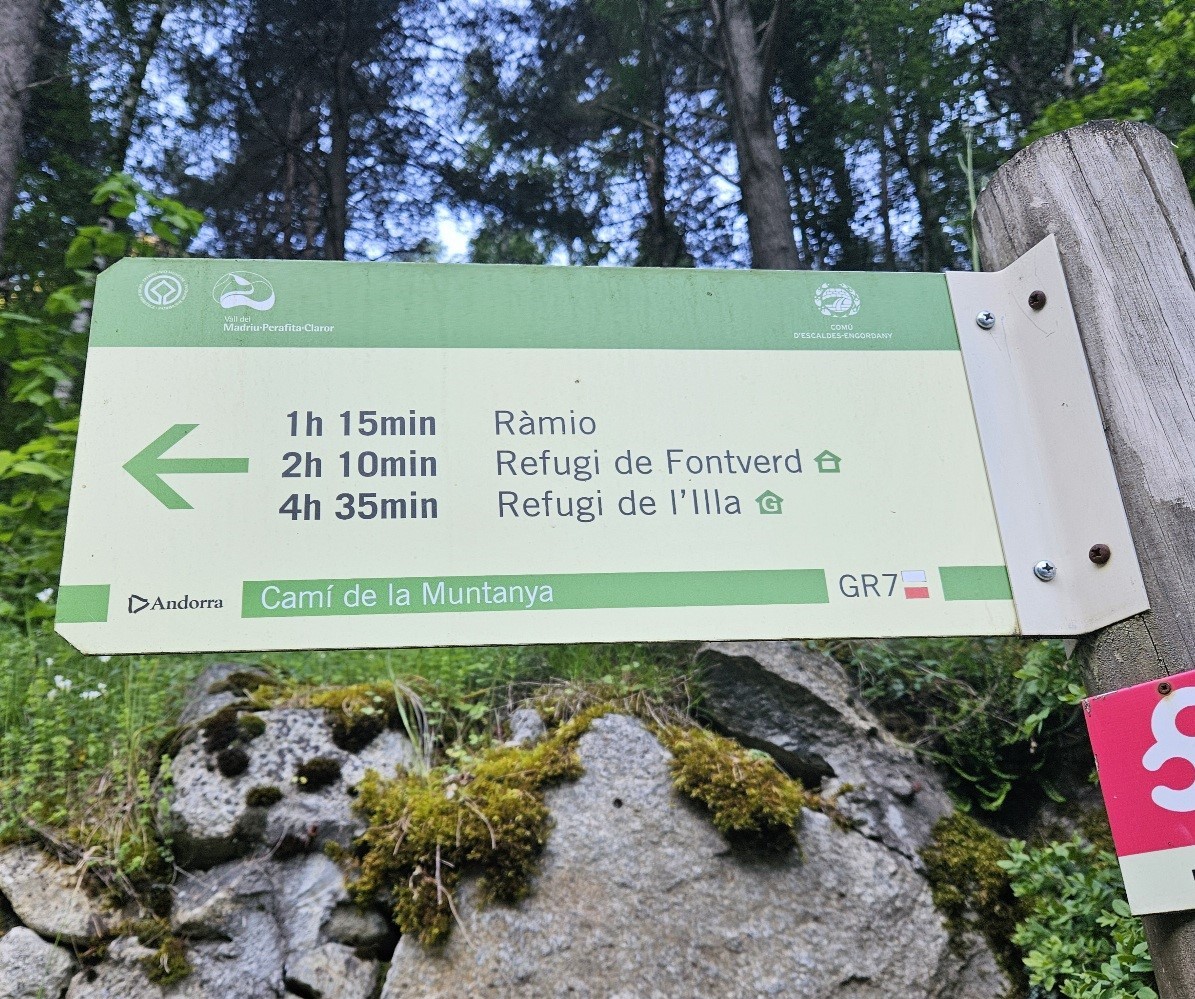
It points up a steep, leafy lane which we ascend. At the top of the lane cross the minor road to reach the sign which points for Ràmio and L’Illa refuge on the GR-7 (there is a car park around 100m from this spot so walkers could drive up to this point if they wished).
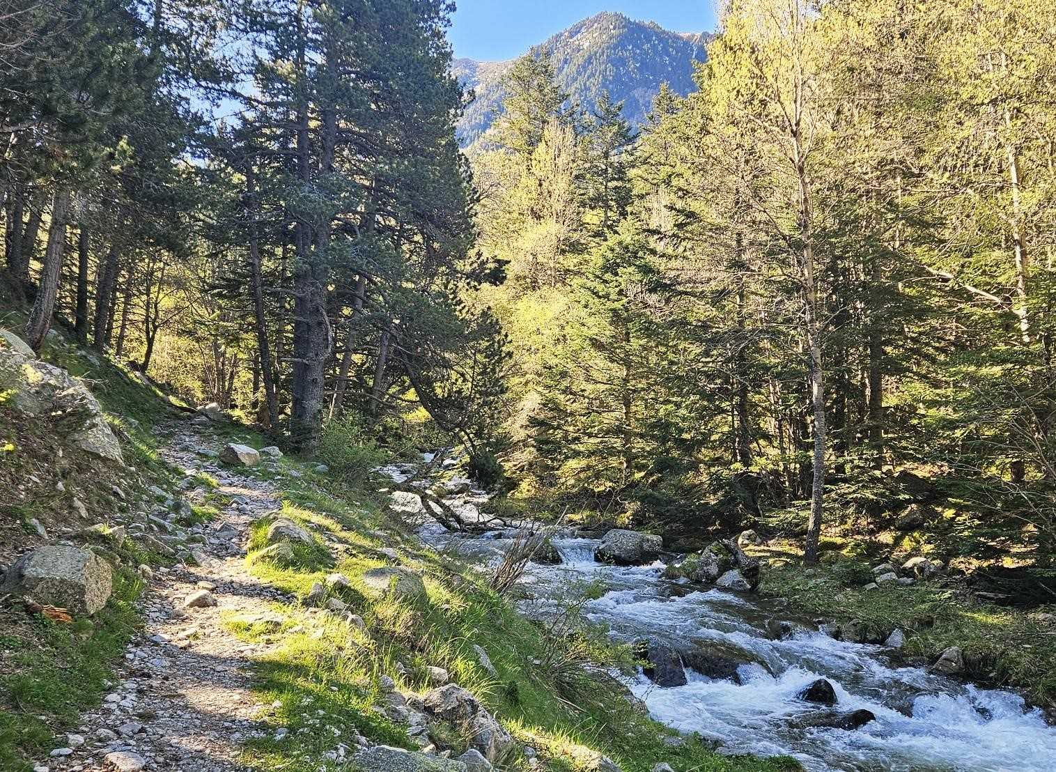
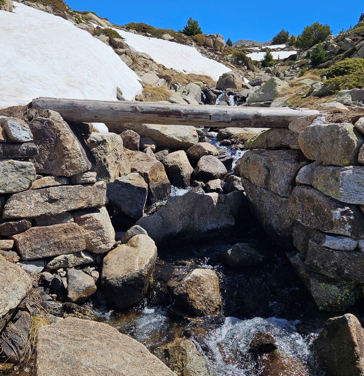
Follow the GR-7. The route ascends on an old muleteers’ track conjured from rock and stone. The trail ascends to the Sassanat, an old stone bridge that crosses the Madriu. It’s a great spot to observe the river.
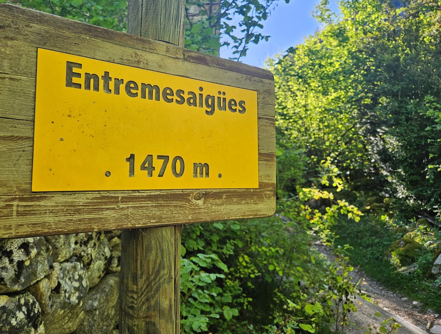
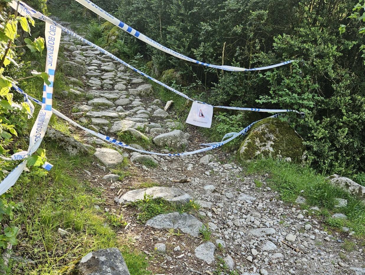
After crossing, the route ascends along the left bank, with the water in touching distance at many points. Next reference point is Entremesaigües at 1,470m, where there was a small diversion in place (in May 2026) due to falling masonry from one of the old stone buildings.
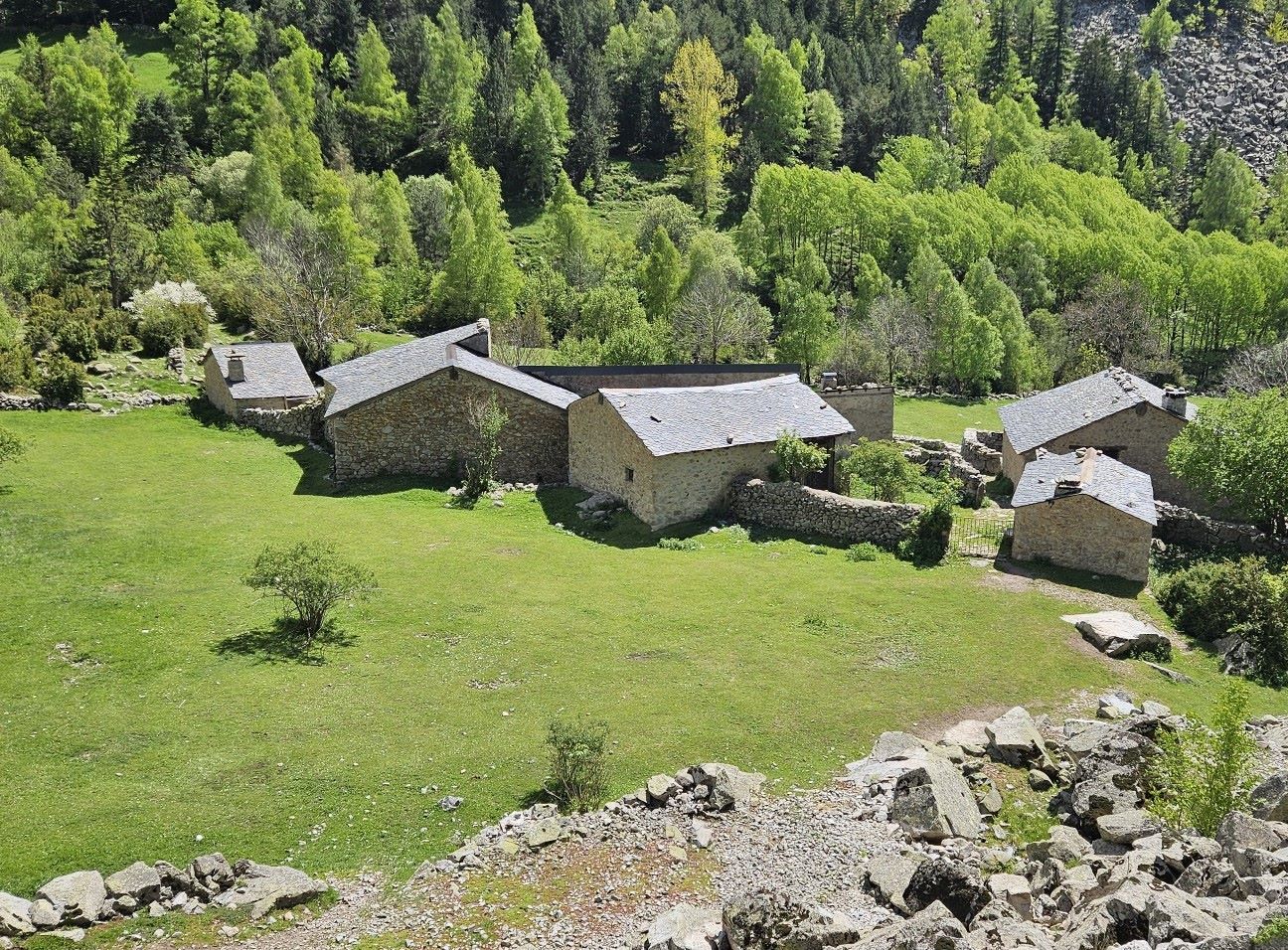
Next up is Ràmio at 1,620m, where horses feed on the pasture at the farmstead. Soon afterwards the GR-11 trans-Pyrenean footpath joins the GR-7 and both these magnificent routes ascend the Madriu valley in unison.
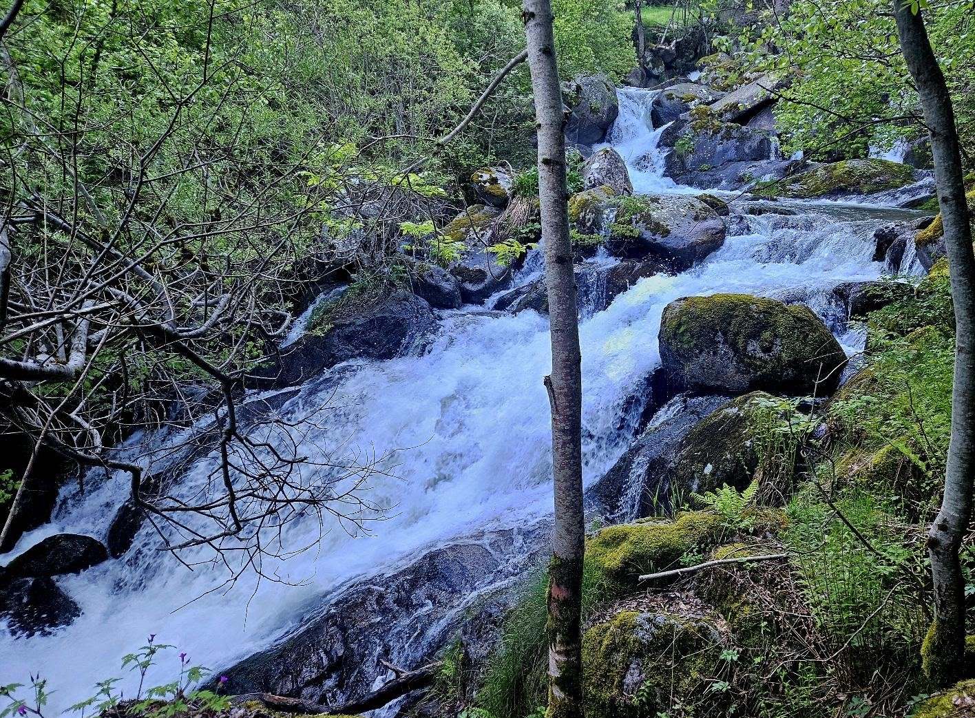
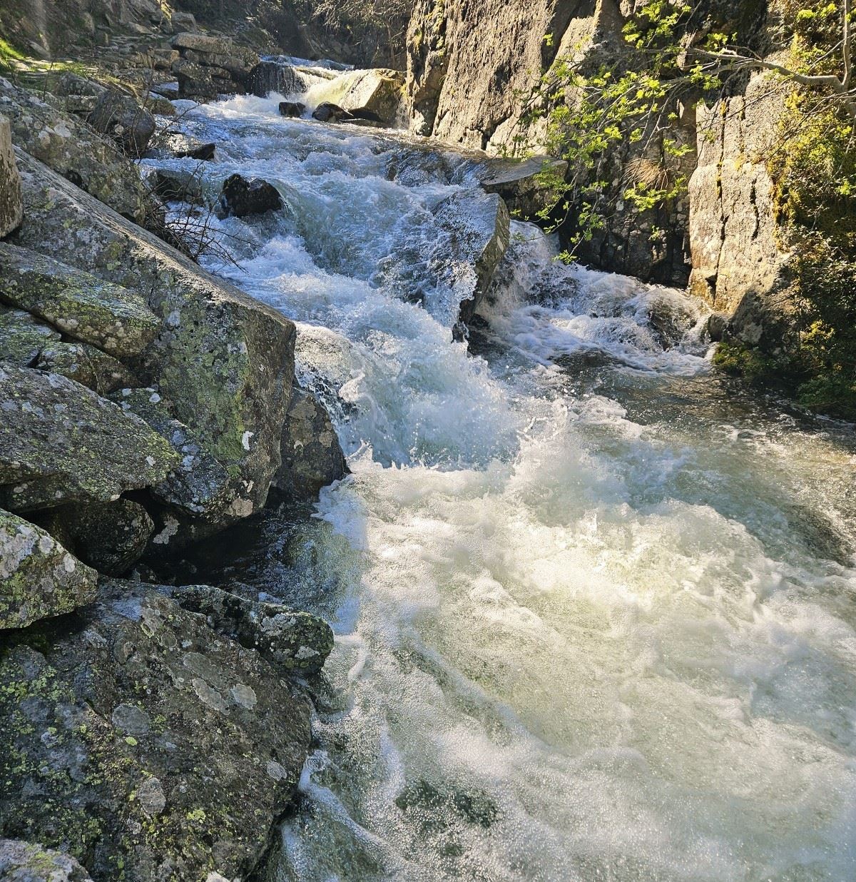
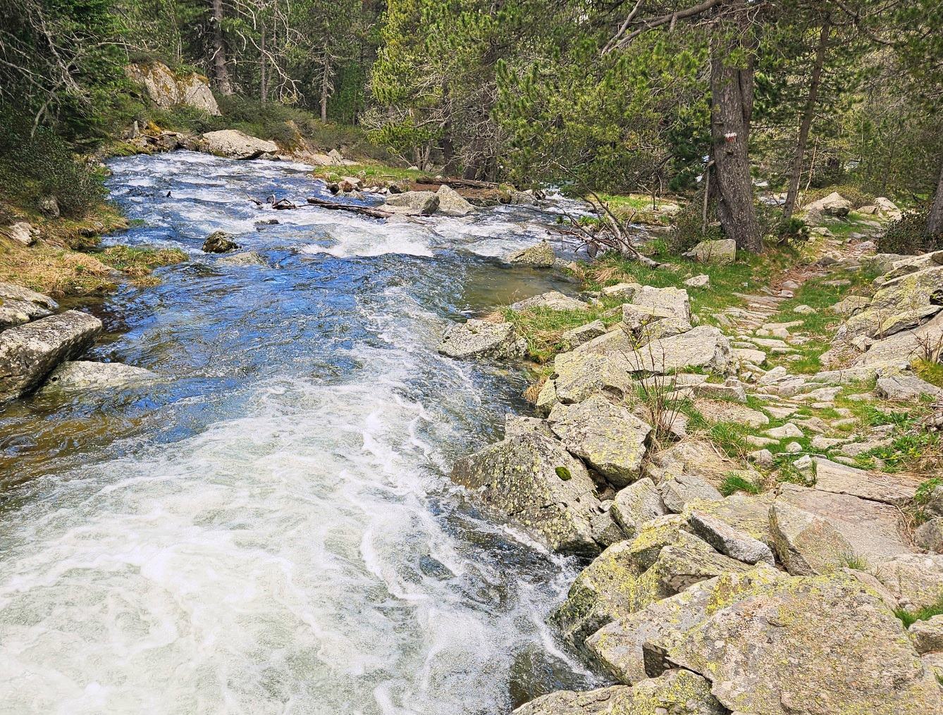
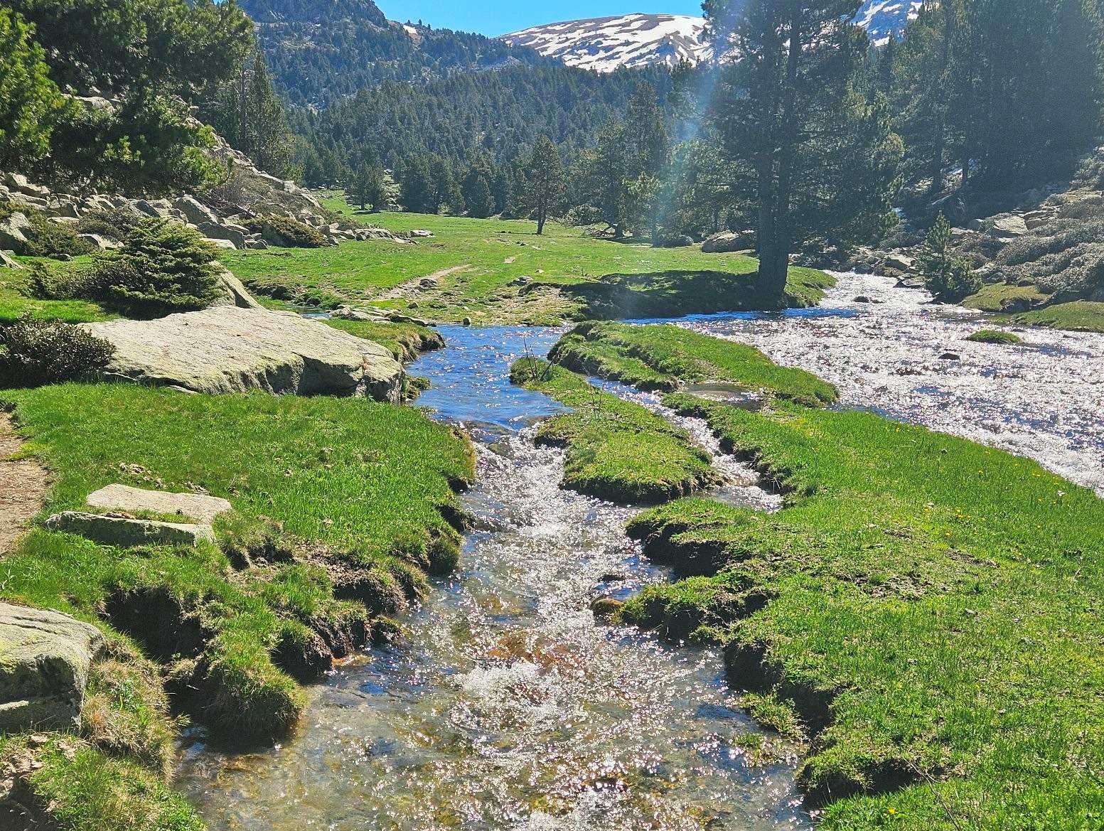
The track turns into a path which stays by the side of the river. There are pools to bathe in, away from the fast flow, if walkers want to cool off; or just have a paddle. Take care in the spring as the river descends in an awful hurry.
The small Fontverd refuge at 1,875m is the next landmark on an ascent which is mostly shaded by lovely pine trees.
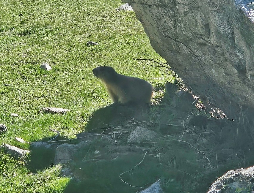
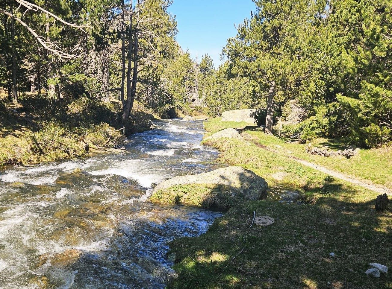
The path emerges at the Pleta de la Trava at 2,100m, a narrow area of mountain pasture which flanks the Madriu. You might see marmots here.
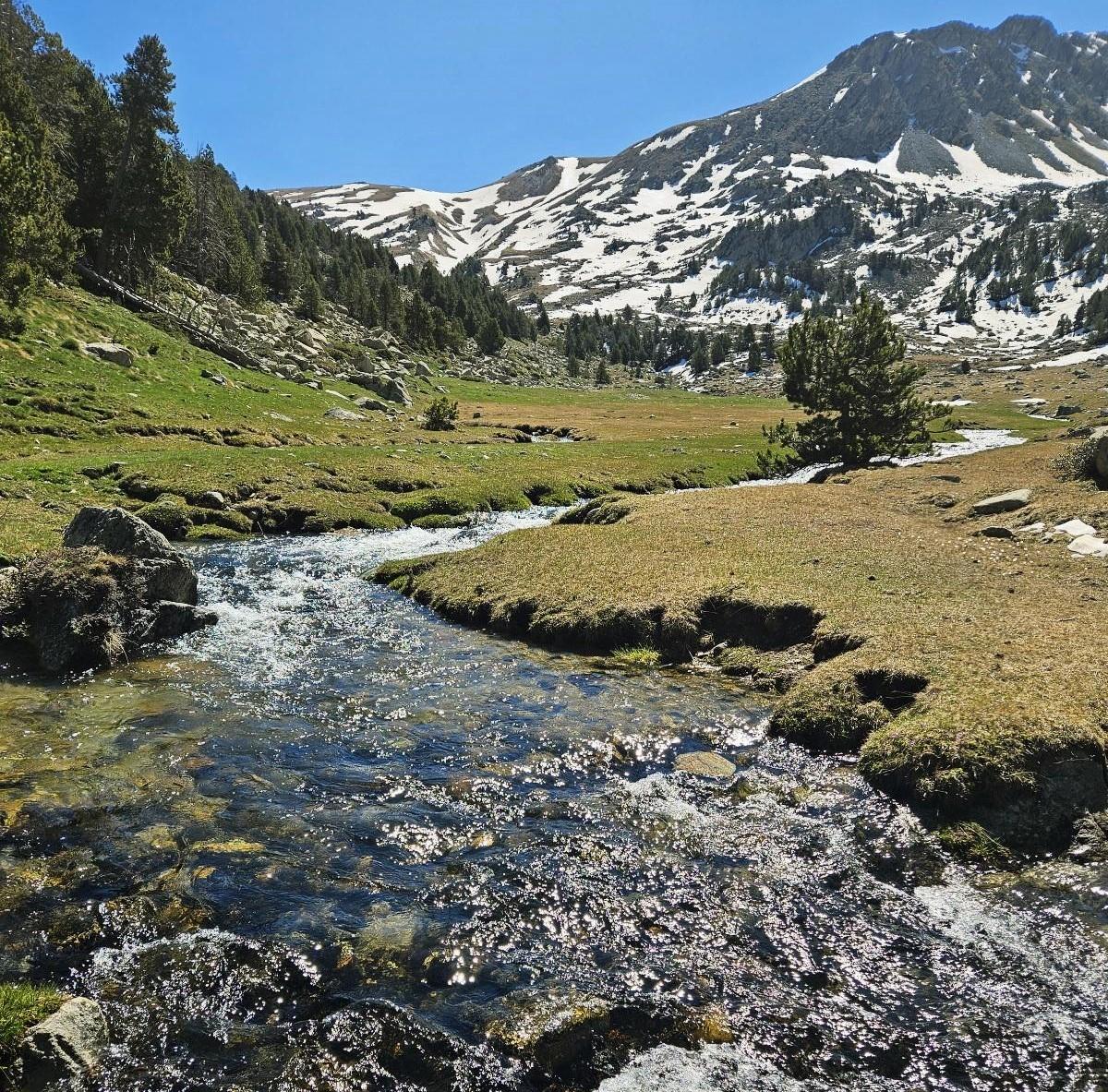
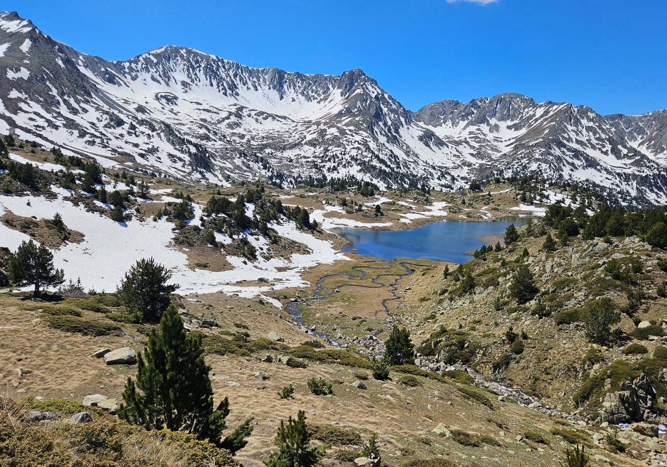
Then it’s the Pla de L’Ingla flats, a wider pastureland at 2,200m, where the views become even more spectacular. Straight ahead is the 2,848m summit, the Tosseta de Vallcivera, which may have a covering of snow.
Be aware that the route bears to the left at the Pla, no longer following the Madriu river. Both the GRs now start an ascent which is mostly out of the trees.
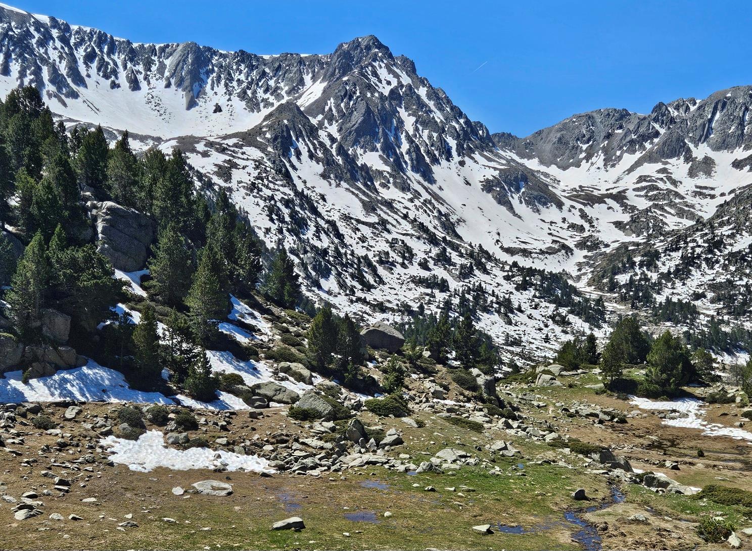
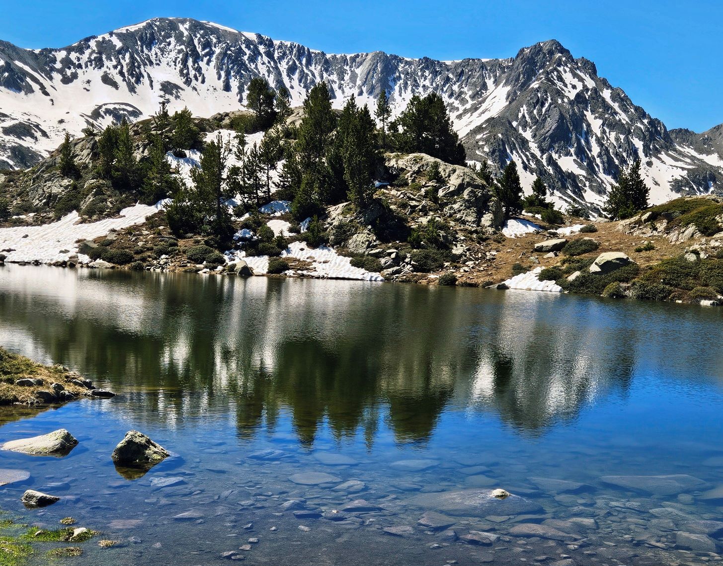
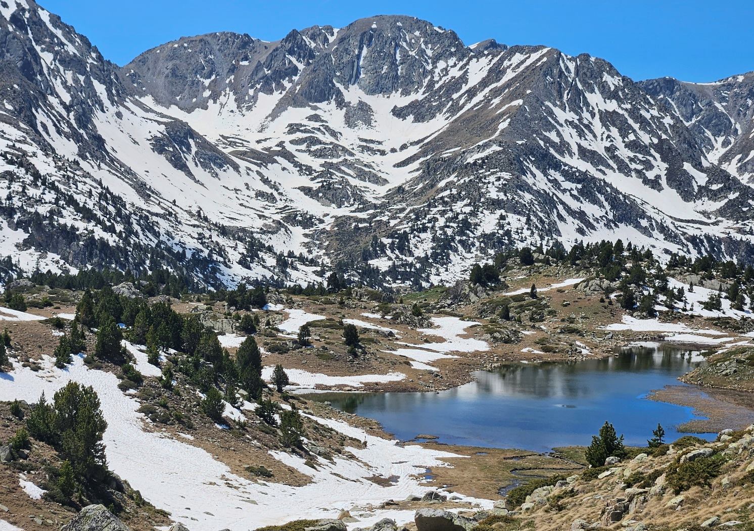
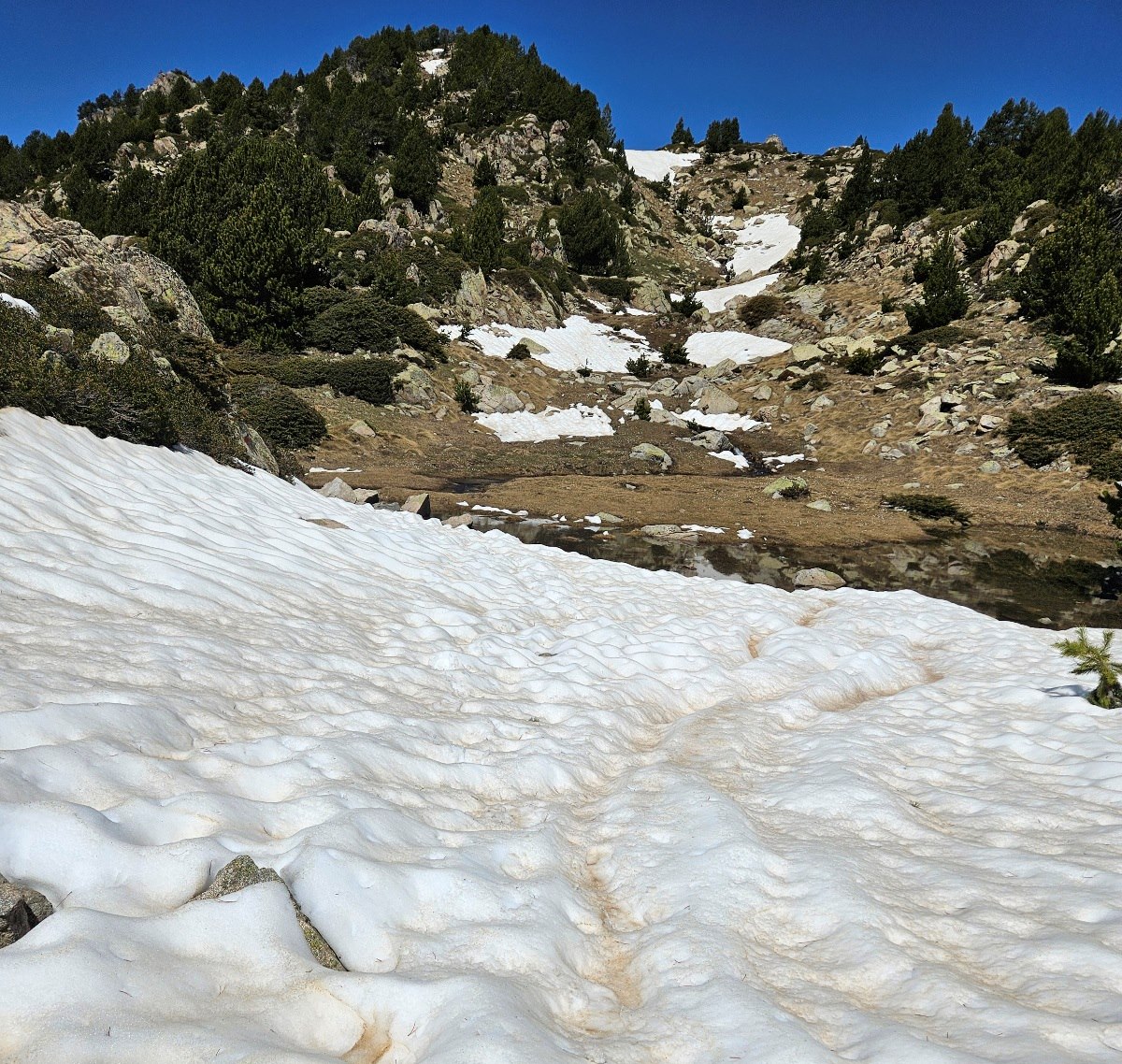
Pass the Bova glacial lake at 2,400m. In the spring, snow and snowmelt may make the path difficult to follow from this point.
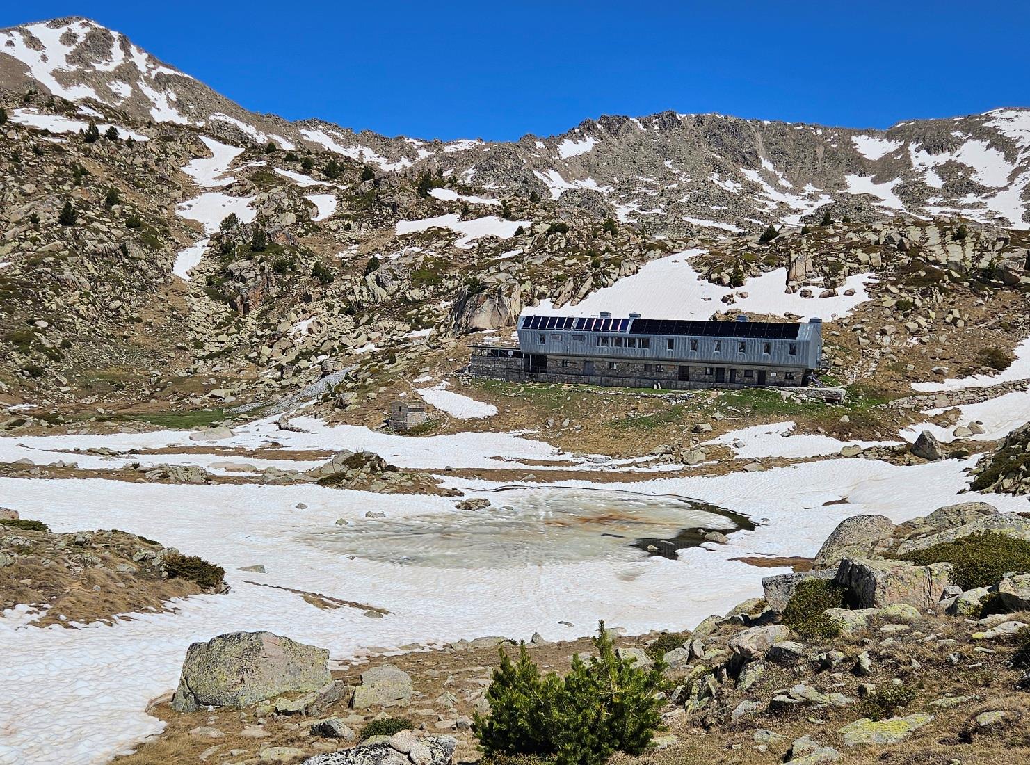
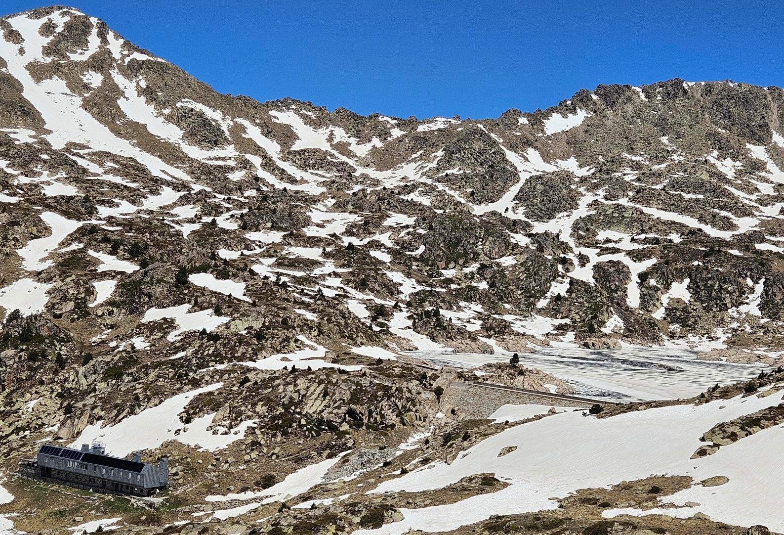
L’Illa mountain refuge eventually comes into view and the path heads straight for it. Just above the refuge is L’Illa glacial lake which was still frozen in May. From the refuge, it’s less than 1km to get to the Illa pass at 2,511m on the GR-11.
The GR-7 has more lofty ambitions; heading around the shore of the Illa lake, it ascends to the Pessons pass at 2,841m on its way to France.
We return to Engordany on the same path.
Recent Comments