
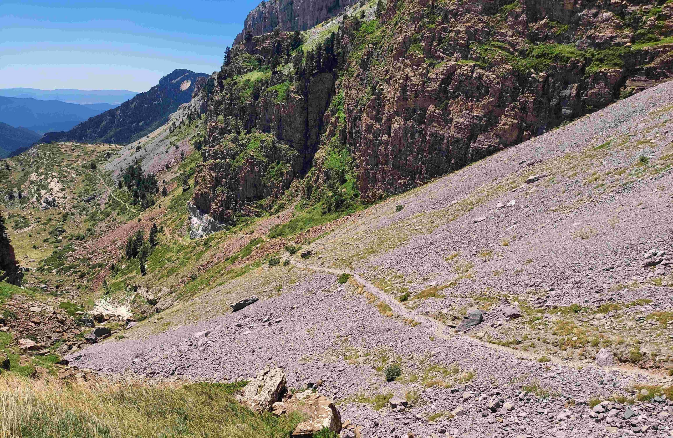
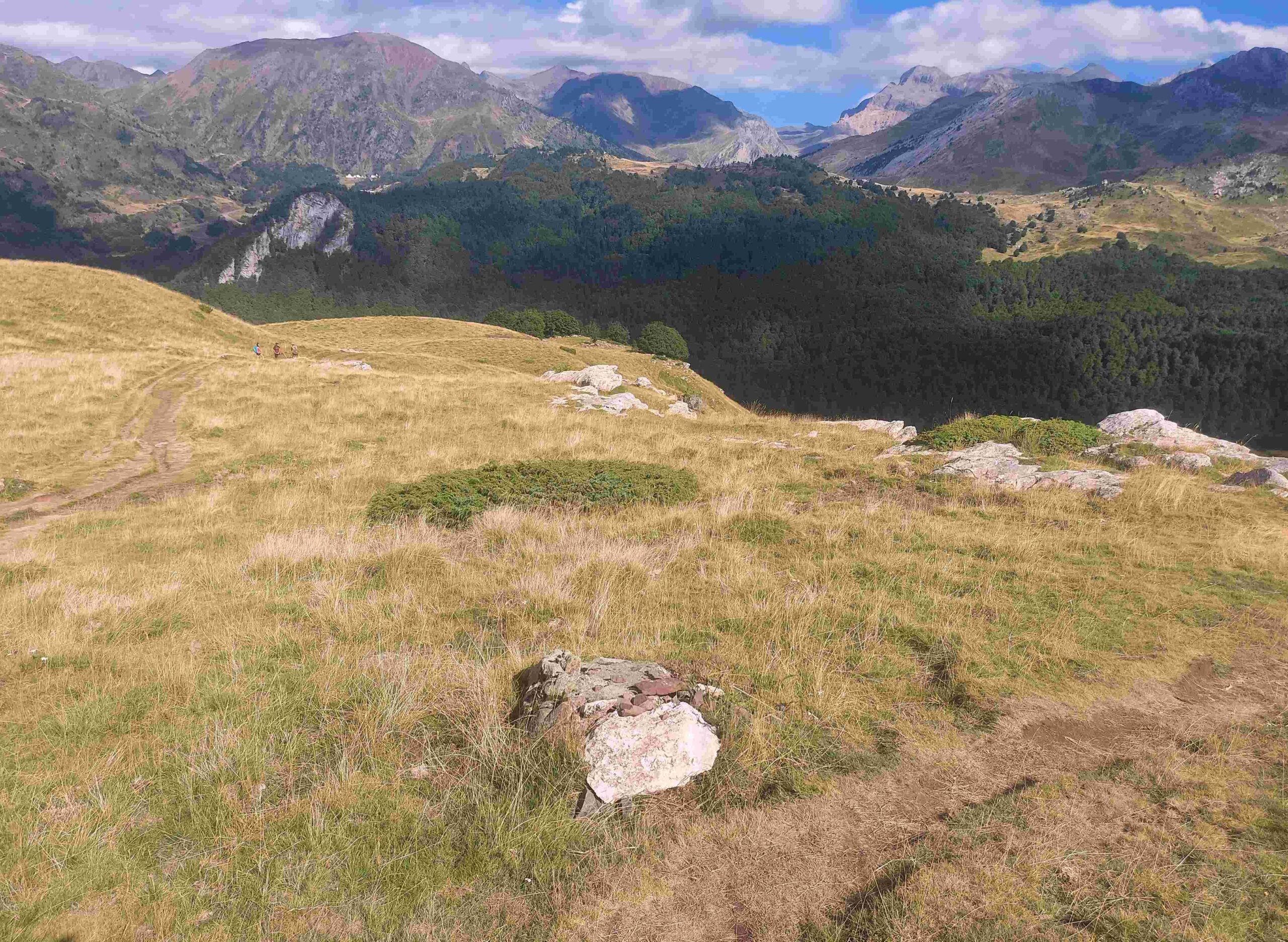
It is 5km from Lizara up to the next pass, the Puerto de Bernera at 2,115m, passing through another fantastic mountain area. The path climbs to the wide entrance to the Bernera ravine, and bears left to ascend along the left side of the wide gulley. The terrain alternates between grassy and stoney before emerging at a stone shelter, the Cubilar de Bernera. It then crosses the stream for a short, grassy ascent to Plana Mistresa; a lovely area of green pasture. Bear right to start the ascent of the beautifully verdant Barranco de los Castillones. On the way up, look back to view the highest summit in the area, Bisaurín at 2,670m.
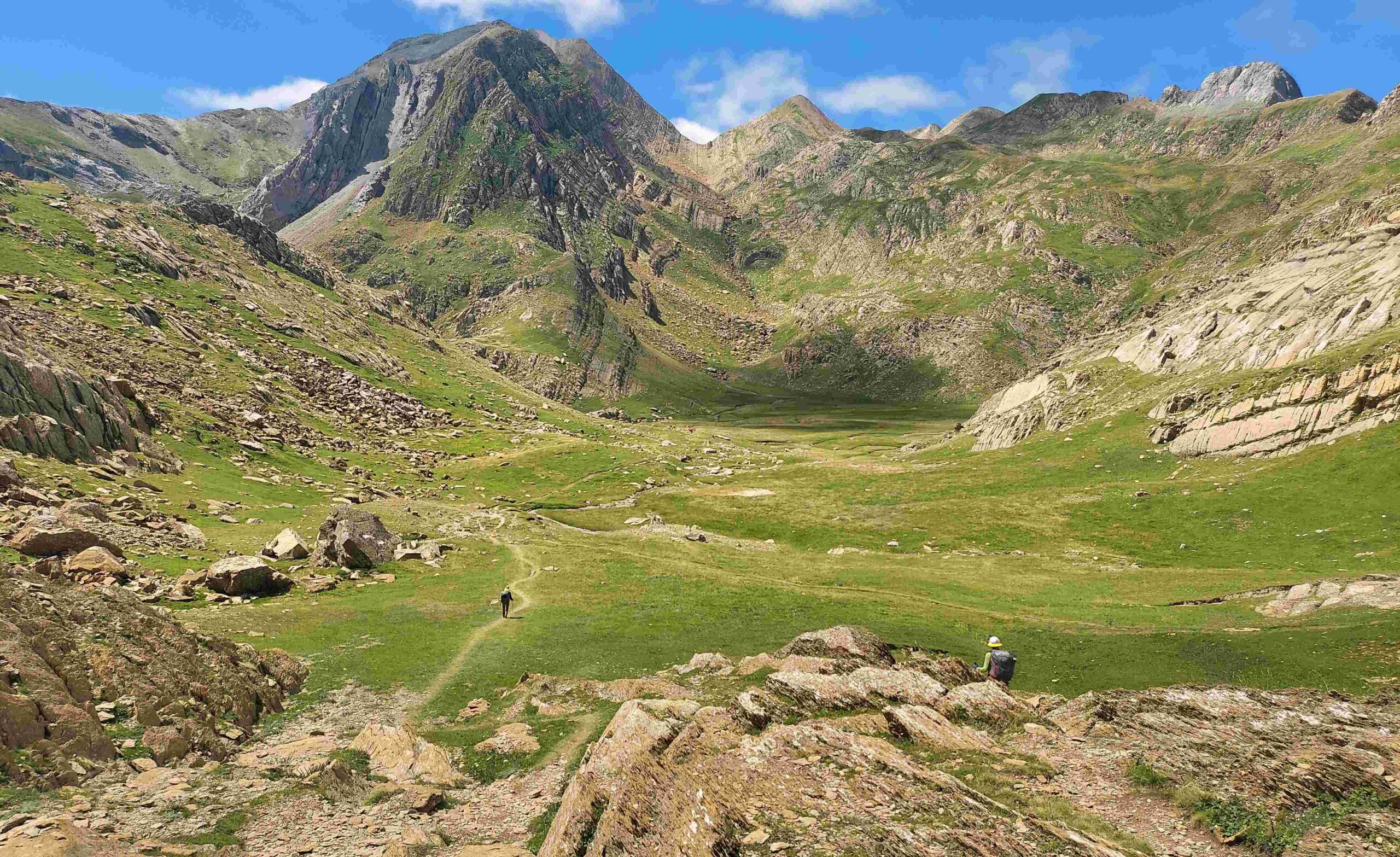
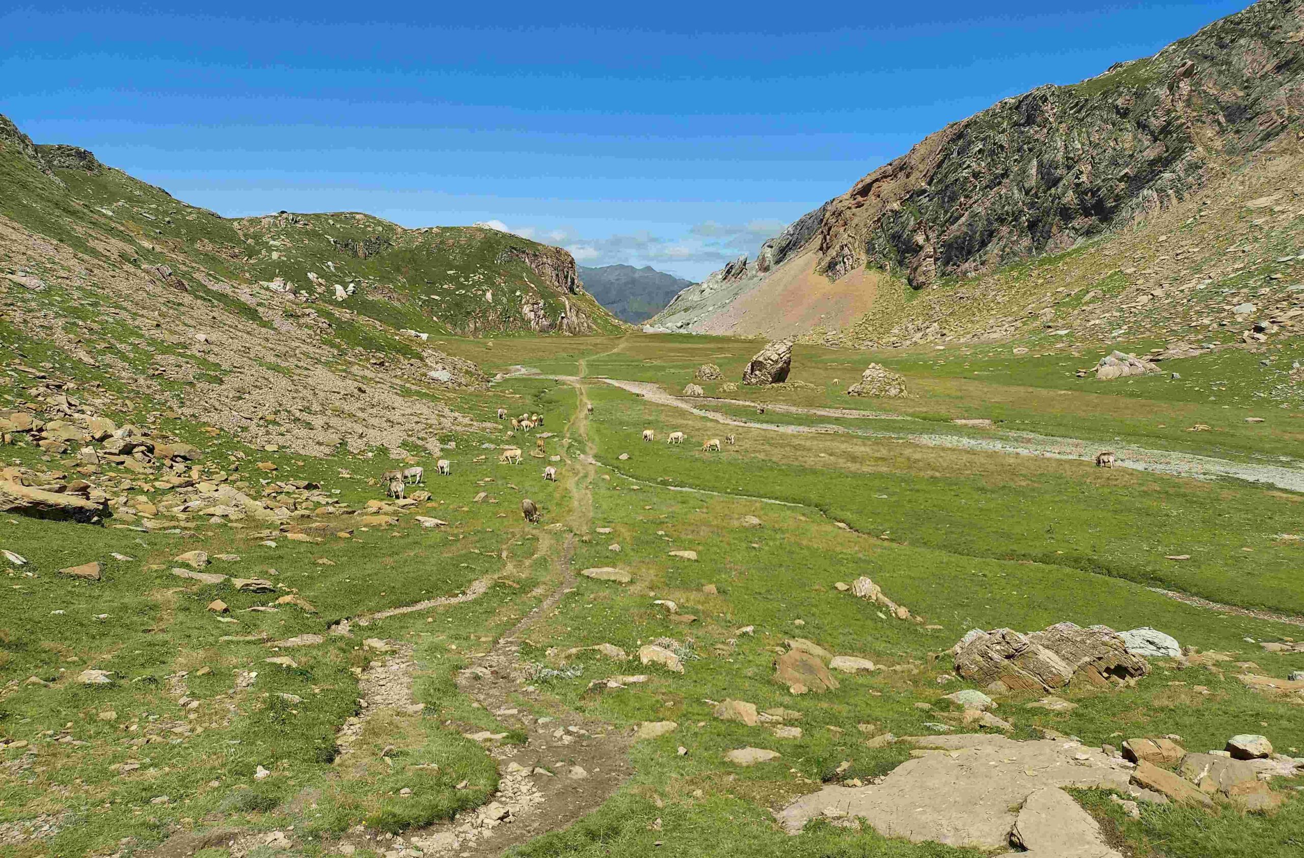
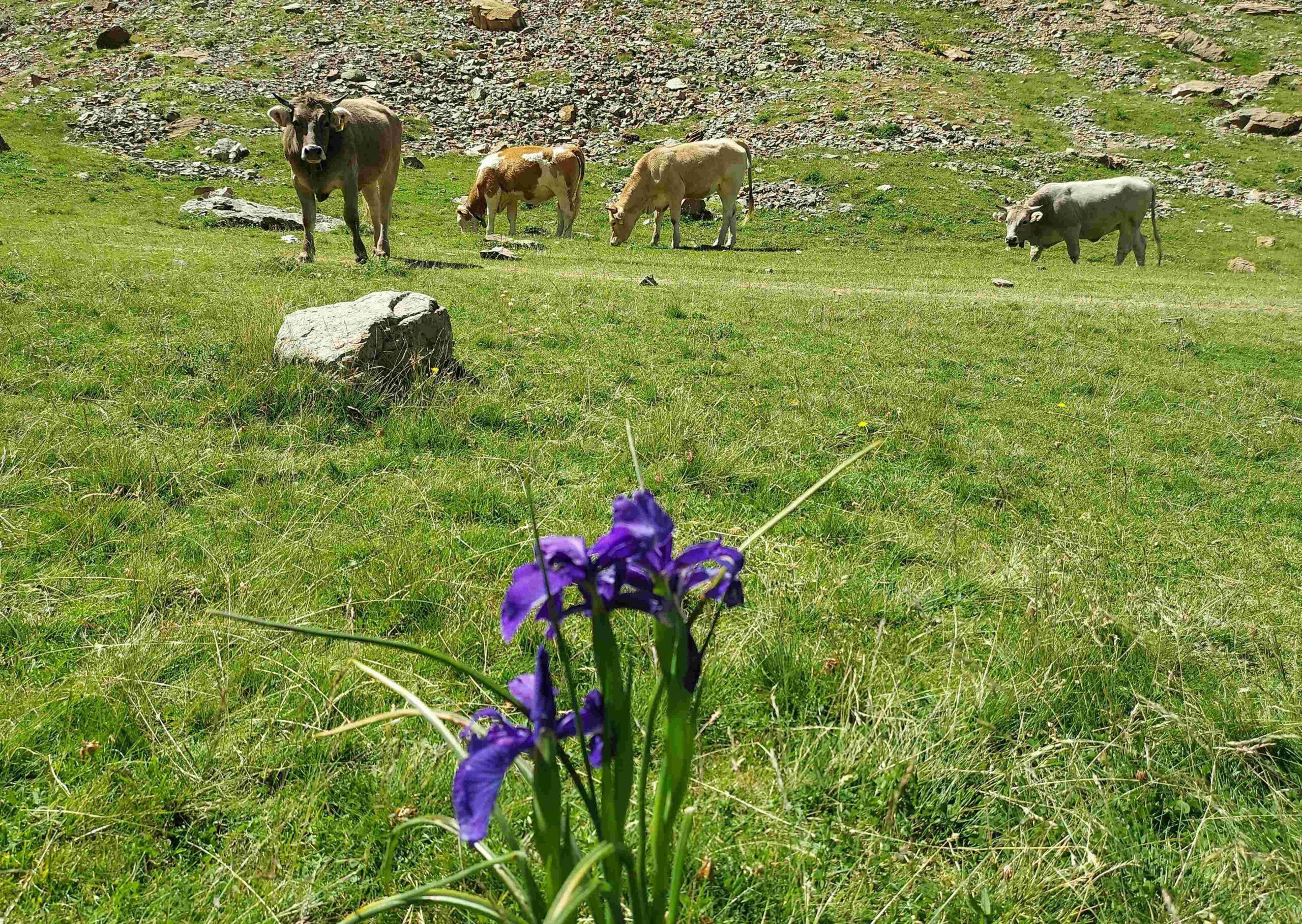
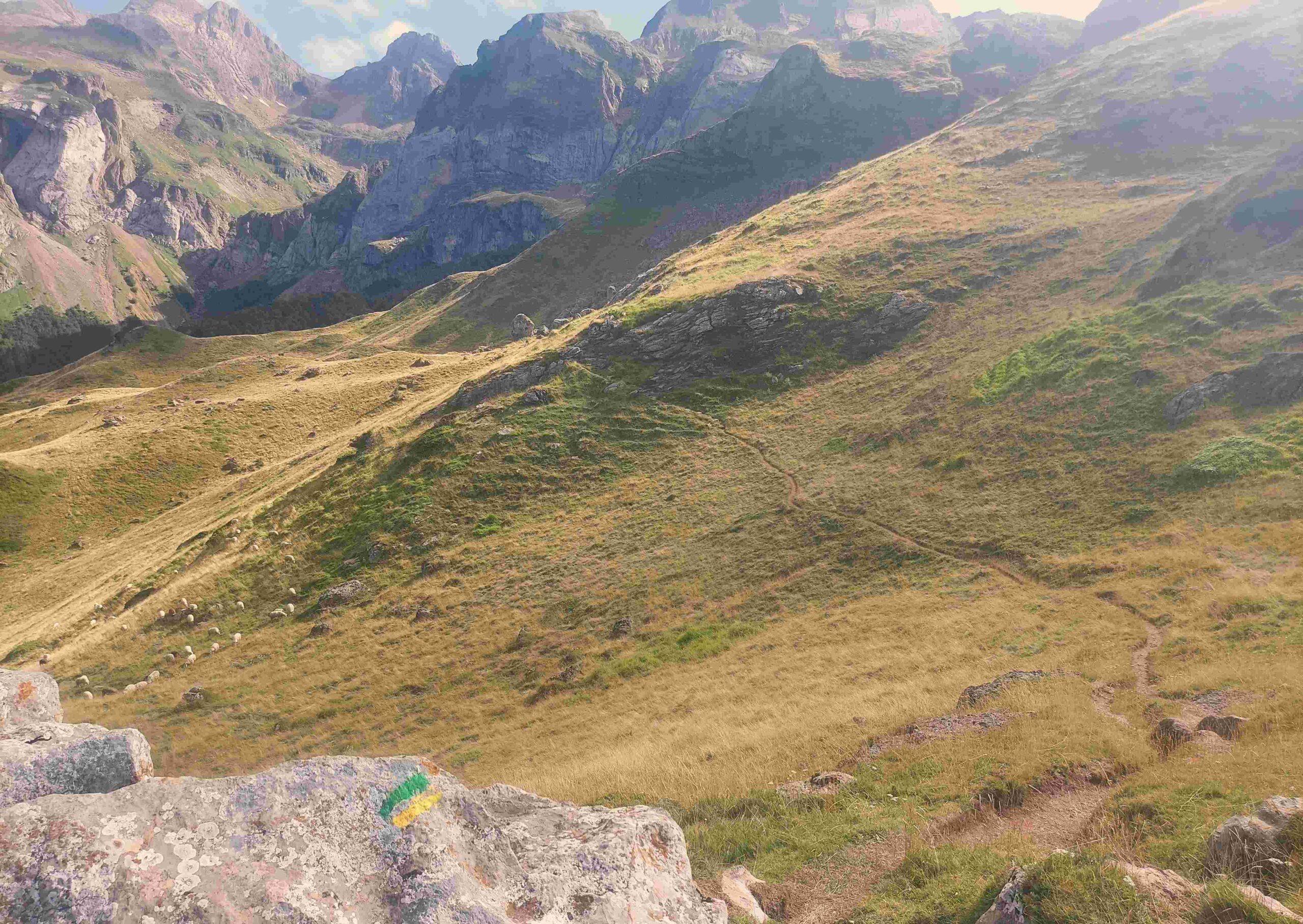
The GR-11 path emerges at the Bernera pass, which is not really recognisable as such, apart from the post which marks it. It is hard to imagine a more lovely valley but there is another of equal beauty to follow. The path now descends the Valle de los Sarrios, which is grazed by cows with mountain flowers adorning the carpet of grass. Under clear skies, after leaving Castillones and Sarrios behind, it is hard not to feel a huge debt of gratitude to the natural world.
The path drops down towards the Estanés lake. However, an area called La Trichera (the trench) and high ground behind it blocks the view. The GR-11 enters the verdant trench and bears left to traverse to a point, where a climb starts. Here, our route turns right, leaving the new GR-11 behind and taking the path of the old GR-11, which is no longer signposted. The path heads down to the lake and turns right. But the shore is rocky and the path has to climb to advance above the lake before dropping down the other side. The old GR passes the top corner of Estanés and ascends the short distance to the pass of the same name at 1,792m. The descent the other side is another very enjoyable section.
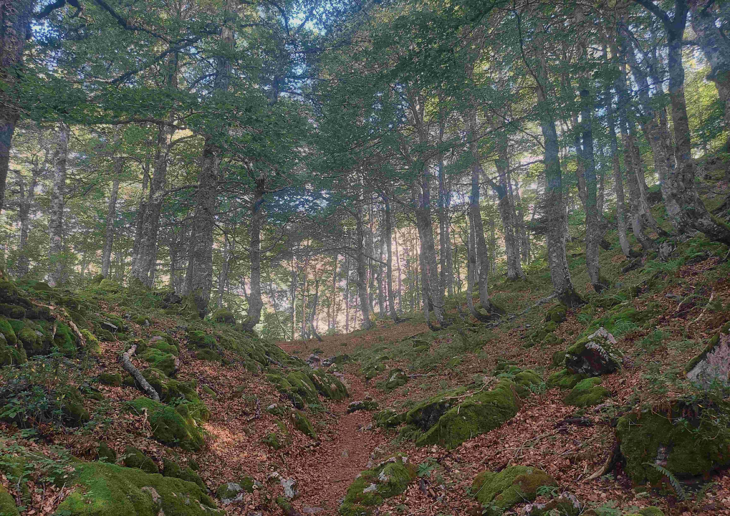
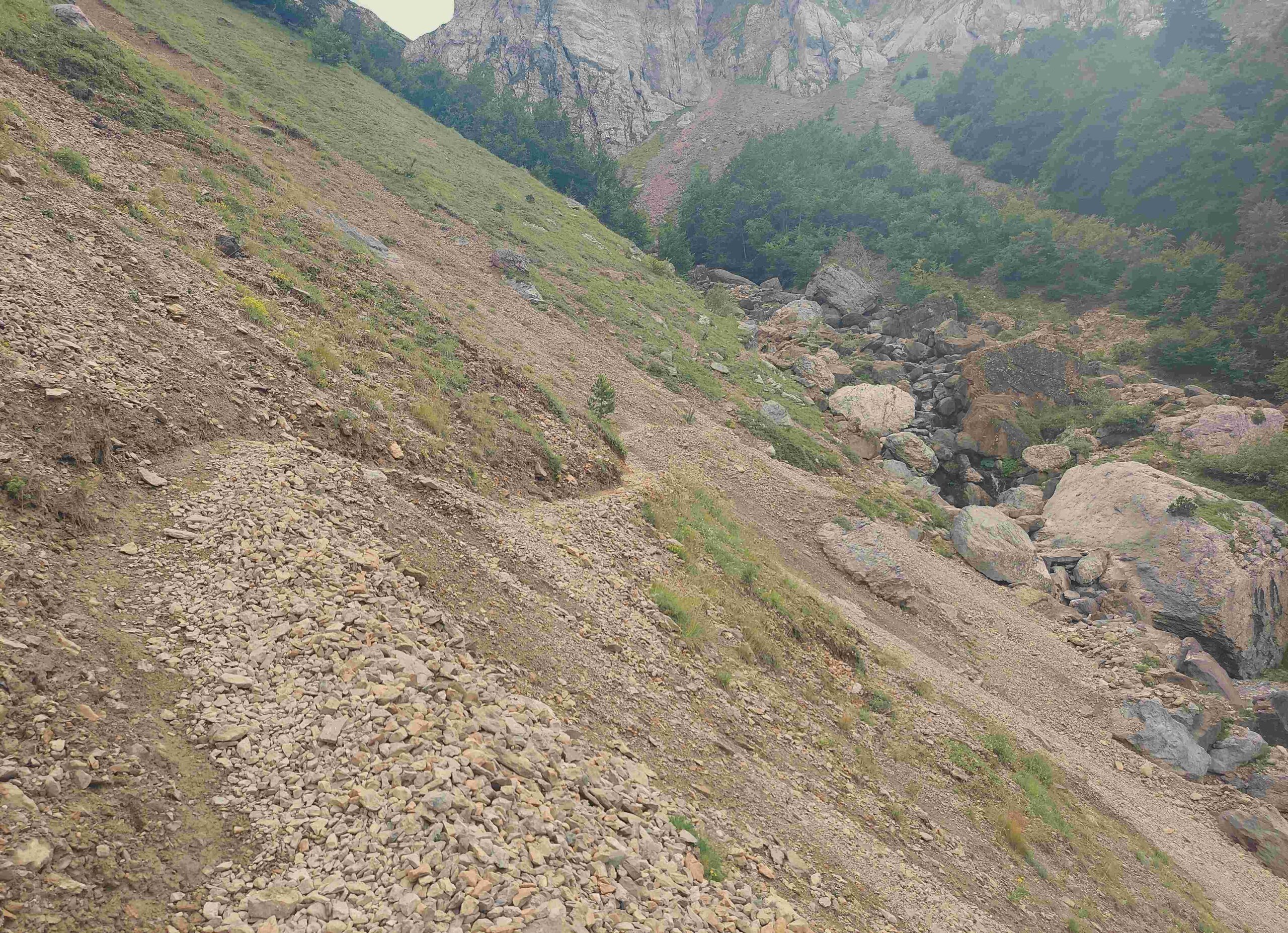
The trail becomes grassy as it goes down. A decision has to be made on the way towards the Sansanet car park in France. After more than a kilometre of the descent, the old GR-11 bears sharp right at a turn which is easy to miss, although there is a cairn on a rock and green/yellow waymark. The walker can now follow the old route, or head into France and make use of the map to find a path back to Candanchú. Our route continues on the old GR-11, heading towards the collosal Aspe cirque which was seen close up on the early part of the walk. The path heads down and across, keeping its height after the initital drop. It enters a magnificent woodland on an undulating path before emerging at a point which crosses the Aspe ravine. This is where the erosion has occurred and great care has to be taken. However, this is a very short section and the subsidence can be negotiated on a path which goes down for a short distance and then ascends to meet back up with the original route.
The path continues around the side of the mountain, descending then climbing to the Col de Causiat at 1,634m. Continue over the top to enter an area which forms part of the winter ski resort. The path goes straight on and then meets up with a wider track, bearing left to descend the slope back to Candanchú.
The second section of the walk from Lizara to Candanchú measures around 18km with 950 metres of ascent. The whole walk measures approximately 35km with around 1,920 metres of ascent. Booking is essential at the Lizara refuge and they can be reached via their website at https://www.refugiodelizara.com


Recent Comments