Being able to park a car at 1,780 metres above sea level at the Sallente lake and hydroelectric station means that very high places can be reached on day walks from this spot at the head of the Fosca valley. And the highlighted route below allows the walker to view no fewer than seven glacial lakes during the hike, as well as gazing at a ring of peaks which soar to 2,900 metres. Many hikers will be able to ascend to the Pas de l’Os (bear’s pass) at 2,542m and others will push on to nearby Saburó pass (also know as Capdella pass) at 2,668m.
The Vall Fosca runs from south to north, so areas without tree cover will be in the sun for most of the day, in spite of its name, which translates as ‘dark valley’. In fact, the Vall Fosca is far from dark and the lack of shade on the walks means that pre-dawn starts are needed in high summer due to the heat. While this makes the area less attractive in July and August, it does give it an advantage over north-facing slopes during the months when snow and ice come into play. At the same time, it should be noted that climate change is having a big impact on Spain, tearing up the rule book for walking seasons, particularly in the Pyrenees. Old certainties about needing crampons or snow shoes from November are now only tentative guidelines.
The best advice I can give, which is repeated at different points on this website, is that people should try to book their stays as late as possible and keep a daily watch on the municipality they intend to visit via state weather agency AEMET; if needed, the language can be changed to English top right of the page www.aemet.es
When I visited the Vall Fosca at the beginning of December, I was able to reach above 2,500 metres without encountering problems caused by snow and ice. However, a week later a big dump of snow and freezing conditions arrived which completely changed the panorama. Another reason to avoid peak holiday season is the cable car which operates from the Sallente hydroelectric station, shipping visitors up to the Gento glacial lake. The tranquility of the setting is disturbed by this service, impacting on the enjoyment of walking.
Accommodation options in the valley include the Camping Vall Fosca, which has bungalows and stone cabins for hire, as well pitches for tents, caravans and motorhomes. It is open most of the year, with more information at www.camping-vallfosca.cat Other options are Hotel Vall Fosca at www.hotelvallfosca.com or the Hotel Montseny at www.hotelmontseny.com
The Editorial Alpina 1:25,000 scale map entitled Sant Maurici Els Encantats shows a wide range of walks available in the southern part of the Cataluña lake district, including the one outlined below
The walk
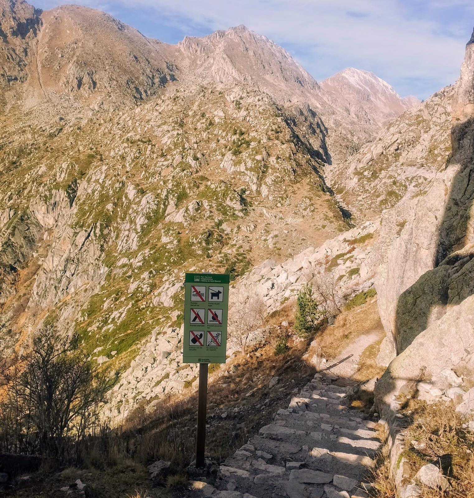
Vehicles can be parked in front of the cable car station on the north shore of the Sallente lake. There are information boards which explain how ice ages created a U-shaped valley and sculpted the towering walls of the cirque which can be seen directly above the panel.
The walk start point is a few metres away, down by the lake shore, in front of the hydro-electric station. A path follows the side of the fence, bearing left to run along the shore of the lake. Cross the wooden bridge over the stream, heading towards the dam. The path climbs to a point above the dam, and then starts a switchback ascent of the slope. It’s a good path, with steps in places. It’s a fairly steep climb but not a lung buster.
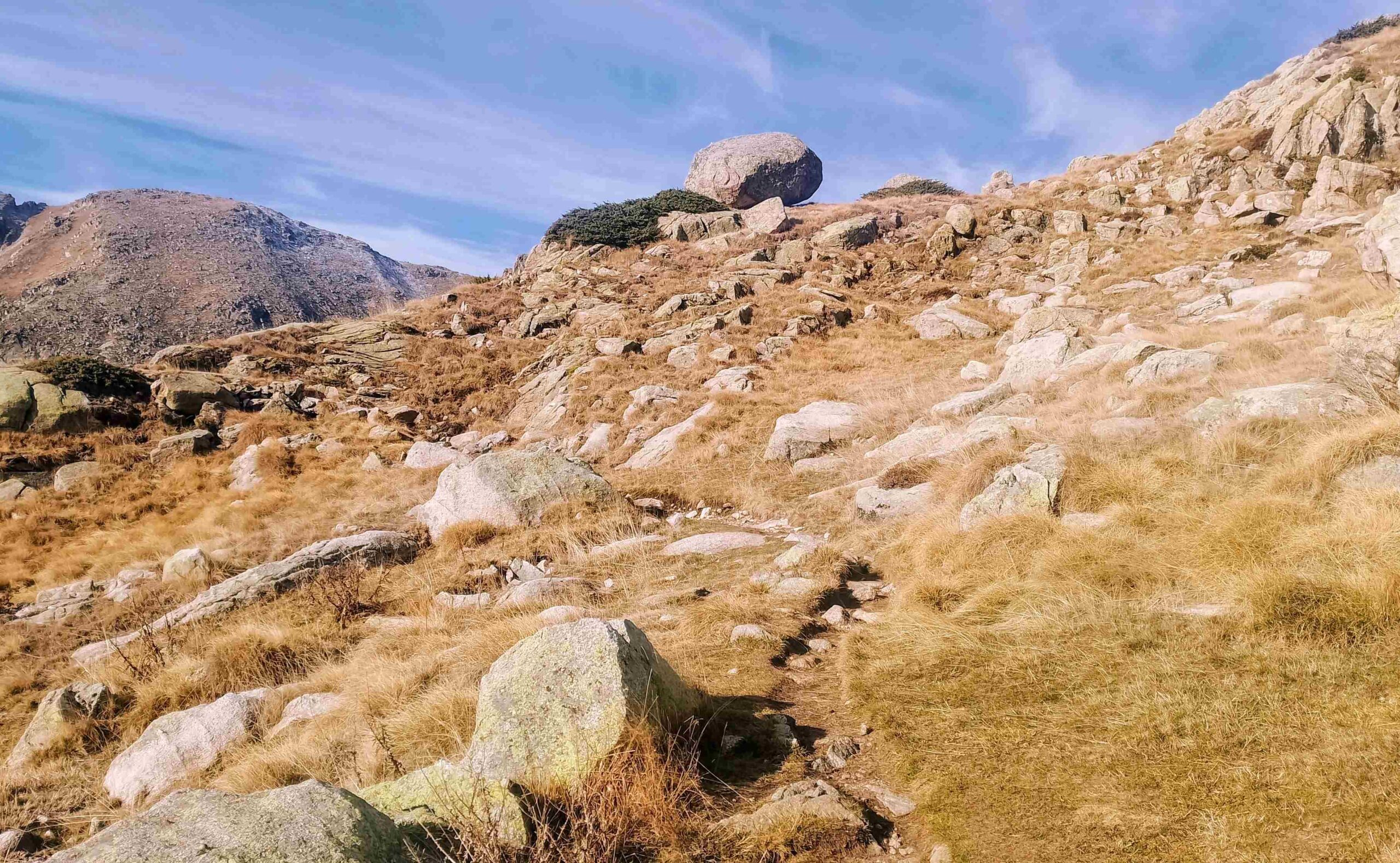
It is around 350 metres of ascent from the lake up the wide Canal de Pigolo ravine. The final section of the climb is on a pleasant grassy slope. The path reaches the old narrow gauge train line, El Carrilet, which has been turned into a ‘green route’ for walkers. Turn left, following the sign for Estany Gento, to pass through the first of the old railway tunnels through the rock. The tunnels are not long but a torch is handy, if not essential. This section winds around the mountainside without any real ascent. There are a couple of more tunnels to negotiate. Take care of drops off the path on the left. The old train line runs to the Gento lake and was constructed to ship up materials for the construction of the dam and hydroelectric facilities. This first leg of the walk to the lake is 3.5km in length.
The path bears left at Gento, running down just below the dam, to emerge on the other side at the hydroelectric infrastructure and cable car paraphernalia.
The Gento lake, standing at 2,140 metres, is still beautiful but the industrial construction is hard to ignore. An information board notes that in the 20th century the area was ‘invaded’ by human enterprise, including the dams and railway, which have led to ‘big changes in the landscape’. You will probably not be sad to turn your back on Gento and walk away, following the sign for the Refugi Colomina. This leads down some steps, with the breathtaking view of the Sallente cirque ahead, which immediately helps to restore the equilibrium. It is wonderful walking all the way now, back in the wilds.
The wide path runs above the cirque and joins up with the GR-11.20, before bearing right to acsend to La Portella at 2,302 metres, where there is a confluence of footpaths. Straight on is the vast Estany Tort. It is only around 100 metres away so worth a look at this glacial lake, also noting the path on the left bank which could be a route for another day. Returning to the confluence, our route bears right, following the sign for the Colomina refuge on the GR-11.20. It’s a fairly gentle and short ascent up towards the refuge. The building stands on the shore of the Colomina lake at a height of 2,420 metres.
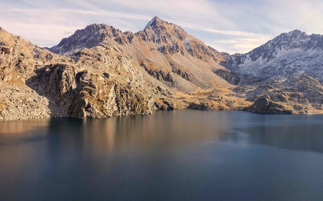
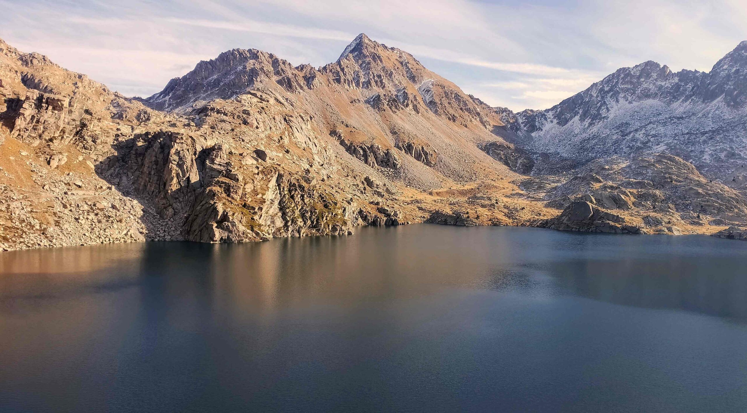
The views now are utterly captivating. It’s a right turn to the refuge, but we keep left following the GR which runs along the shore of the Colomina lake. It is easy walking, with views across the water to the magnificent Pic de la Mainera (2,910m). Once round the Colomina, the next glacial lake, the Estany de Mar, is just a few metres away; an even more sublime spectacle, with a blue of impenetrable depth. Again, the path follows the left bank, but this time it’s not quite so easy. The GR-11.20 climbs to avoid a rocky protrusion on the shore and then descends before running round through moraine at the head of the lake, where the ascent to the Os pass begins.
The height gain on the climb is only around 100 metres. It looks tricky but isn’t. It doesn’t take too long to shin up to another amazing high-mountain area, now above 2,500 metres. It’s fairly flat, the footpath crosses to a sign; it’s left to ascend to the Peguera pass (2,718m) to reach the Ernest Mallafré refuge and right to head for the Collado de Saburó (2,668m). The latter route to the Saburó pass was iced up at the beginning of December and too risky to take on, but this would be a fantastic option on the GR-11.20 in warmer weather. However, I did have a dramatic view over the frozen Saburó glacial lake and up to the ring of peaks behind it; Vidals (2,904m), Peguera (2,980m) and Saburó (2,906m).
Return by the same path. Back at the Os pass it is worth having a longer lingering look at the view over the lakes, with the Estany Frescau the smaller lake far left. The route there and back to the Saburó lake is approximately 17 km, with around 900 metres of ascent. Allow between seven and eight hours for the walk.


Recent Comments