The lower part of the Estós valley is a good option for those who prefer gradual ascents. A wide track runs up the picturesque valley following the River Estós and the signs of the GR-11 long-distance footpath.
As height is gained there are views across to the magnificent Posets massif which towers over the Puerto de Chistau, the 2,577-metre pass at the top of the valley.
To get to the start point, head out of the back of Benasque on the A-139 road. Passing Camping Aneto and over the bridge, turn left following the sign for the Estós valley. It’s a short distance to the car park at an altitude of 1,320 metres. In the car park the GR sign points the way up towards the Refugio de Estós.
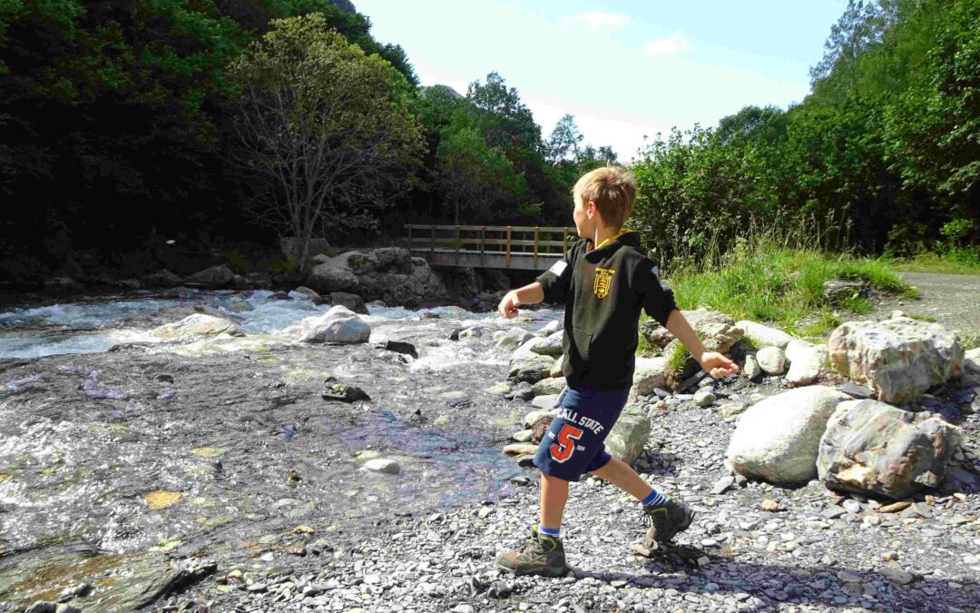
The track passes through a short, steep-sided ravine to a dam and small reservoir, before it opens out into the valley. The route follows the lively river, crossing over to the left bank on a bridge (see photo) before ascending to the Cabaña de Santa Ana, where there is a spectacular view up the valley.
The track is now running high above the nascent mountain river. Soon the walker is warned of the danger of avalanches (snow) on a short section of the route, so it best to check for any alerts at state weather agency AEMET (www.aemet.es) before heading out in winter, late autumn and the spring.
After passing the Corones natural spring the next point of interest is the Galantes waterfalls, which are in the gorge of the same name. The GR-11 passes close to them, and a minor detour is available to see these gushing natural works of art.
See a previous post for the full route up to the Puerto de Chistau and over to Viados mountain refuge.
Another great walk goes up the Cregueña valley to the Cregueña glacial lake which lies under the high peaks of the Maladeta massif. It’s a tough all-dayer with a height gain of around 1,300 metres. Start from the parking spot at the Plan de Senarta ‘free’ camping ground off the A-139 road out of the back of Benasque.
Take the GR-T-46 upstream following the River Ésera on the wide track for approx 2.5km. Then turn right for Cregueña. The path climbs steeply through pine woods, following the river, with many waterfalls to gaze on. The path opens out at the ‘pleta de Cregueña’ flats, then bears left to start the long climb towards the glacial lake.
Pick your way over the boulders, which are moraine deposited during the last ice age. It is great fun jumping from rock to rock, but this does slow down progress. At the very top of the stream is the lake.
An awesome sight, it’s one of the largest in this area of the Pyrenees, set below the giant peaks of Maldito and Maladeta and their glaciers. The lake stands at a height of 2,650m.
It’s a wondrous spot. After a bite to eat, some people maybe tempted by the paths which lead up to 3,000-metre summits, while others will have done enough climbing for the day. Return by the same path.


Recent Comments